The best mountain hikes around Albino
4.5
(2)
37
hikers
1
hike
Mountaineering routes around Albino are situated in the Seriana Valley, providing access to the Orobie Bergamasche Park. This region features impressive mountain reliefs, diverse flora, and an extensive network of trails. The landscape is characterized by lush greenery, river paths, and limestone sport crags, offering varied terrain for outdoor pursuits.
Best mountaineering routes around Albino
- The most popular mountaineering route is Monte Alben Summit – Rifugio Monte Alben loop from Cornalba, a 7.8 miles (12.5 km) trail that takes…
Last updated: July 4, 2026
4.5
(2)
28
hikers
5.42km
02:25
290m
290m
Hard mountaineering route. Good fitness required. Sure-footedness, sturdy shoes and alpine experience required.
5
hikers
17.4km
06:09
830m
830m
Hard mountaineering route. Very good fitness required. Sure-footedness, sturdy shoes and alpine experience required.

Sign up for free
4
hikers
7.51km
03:03
480m
480m
Hard mountaineering route. Good fitness required. Sure-footedness, sturdy shoes and alpine experience required.
Our route recommendations are based on thousands of hikes, rides, and runs completed by other people on komoot.
Start today with a free account
Your next adventure awaits.
Login or Signup
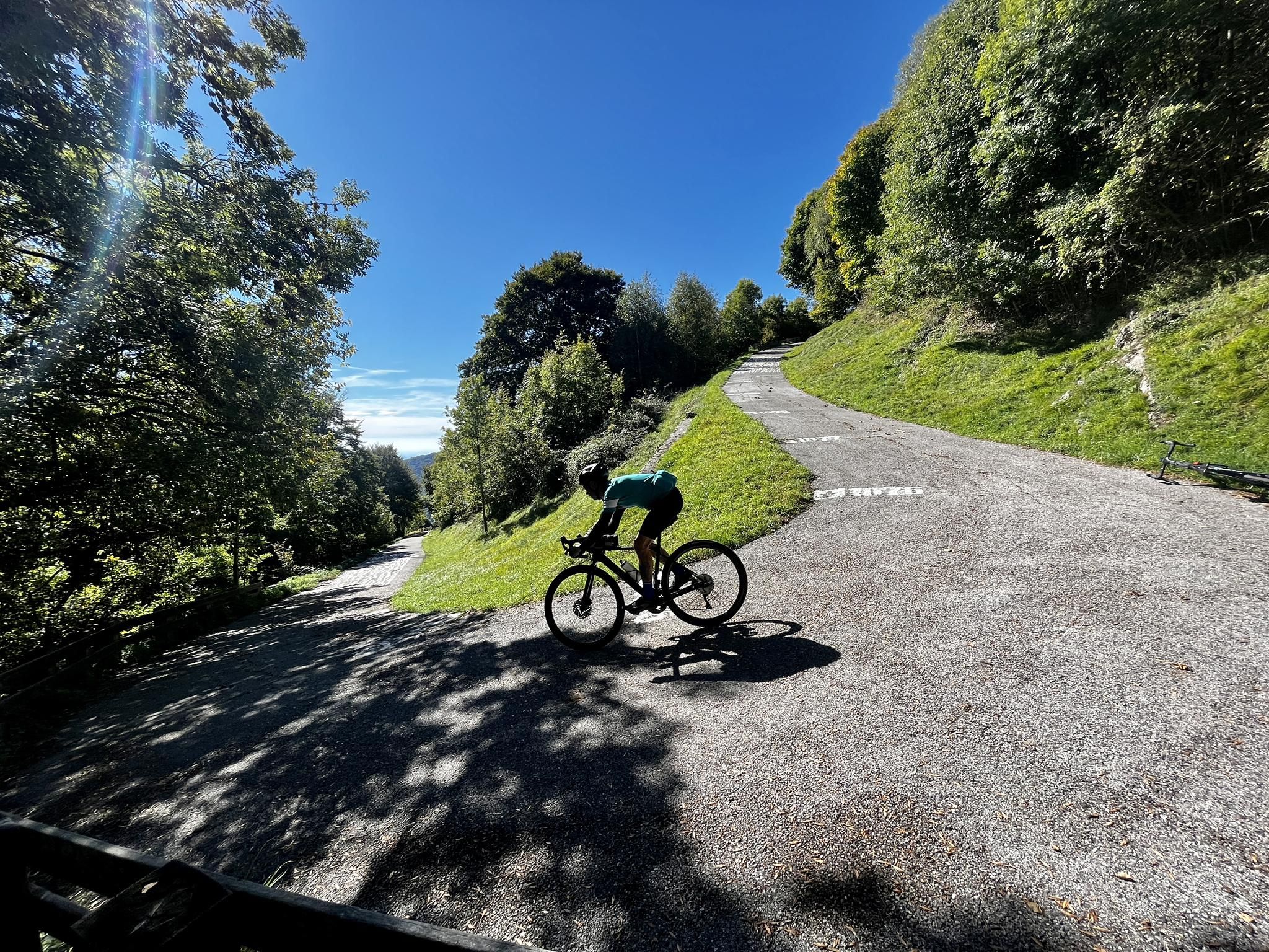
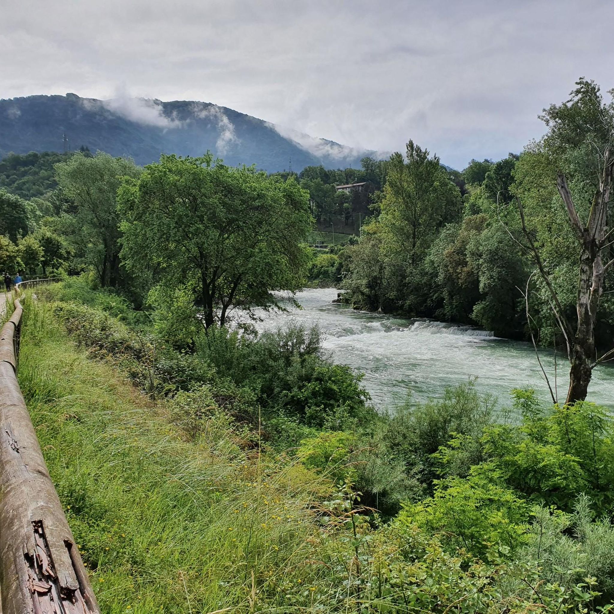
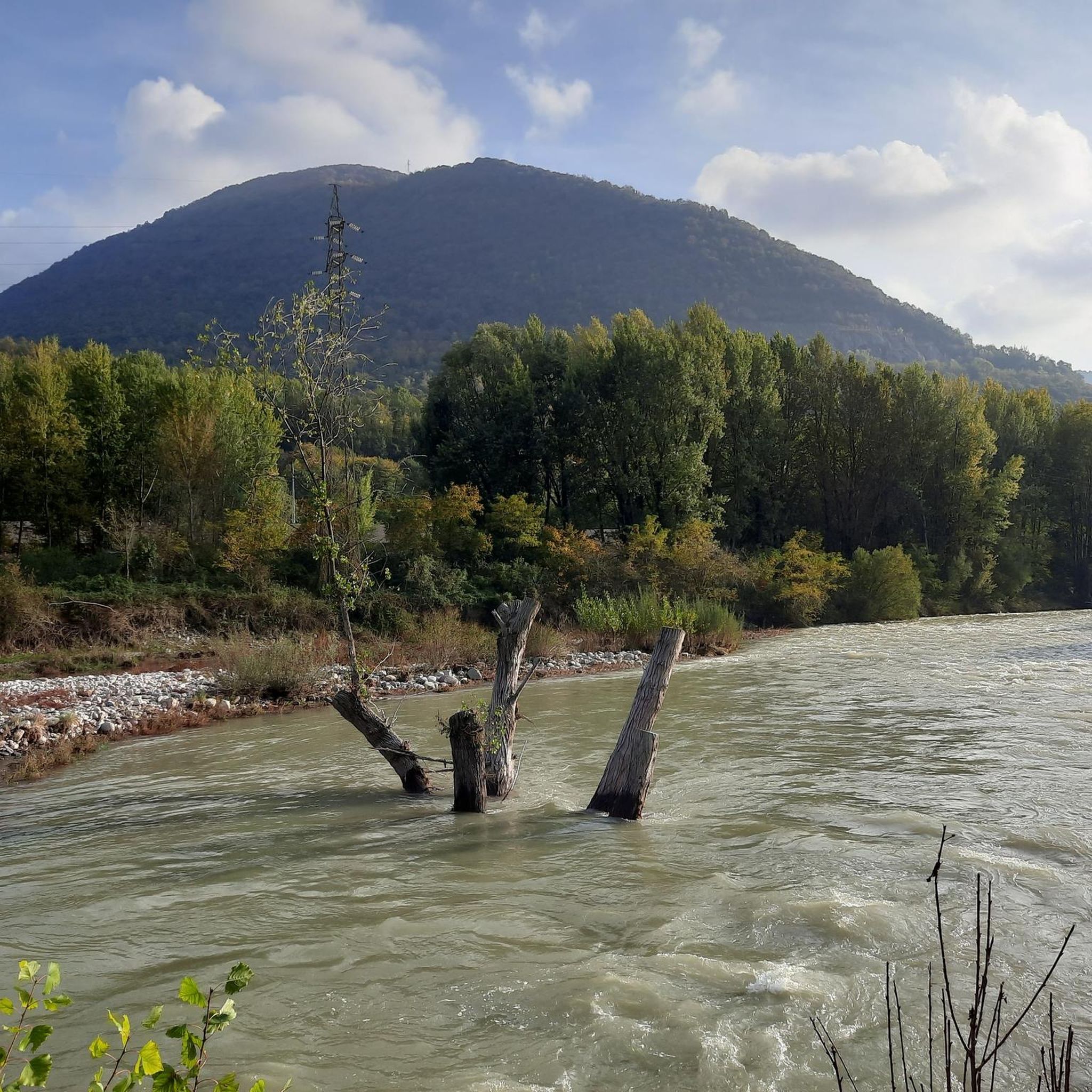
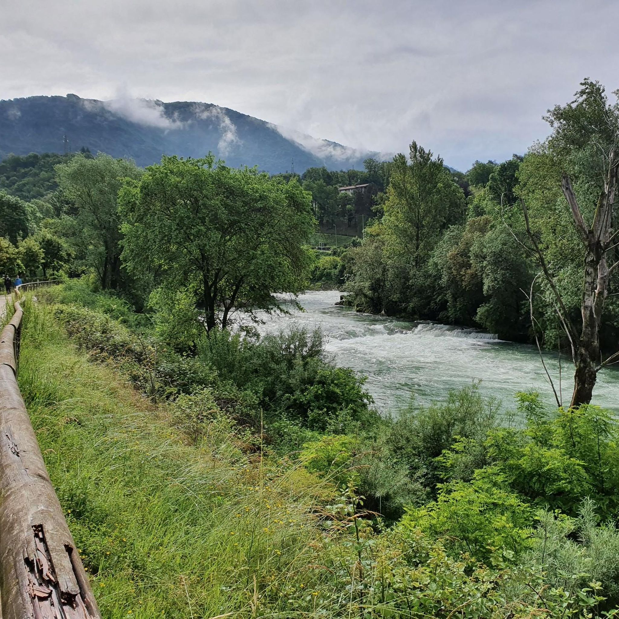
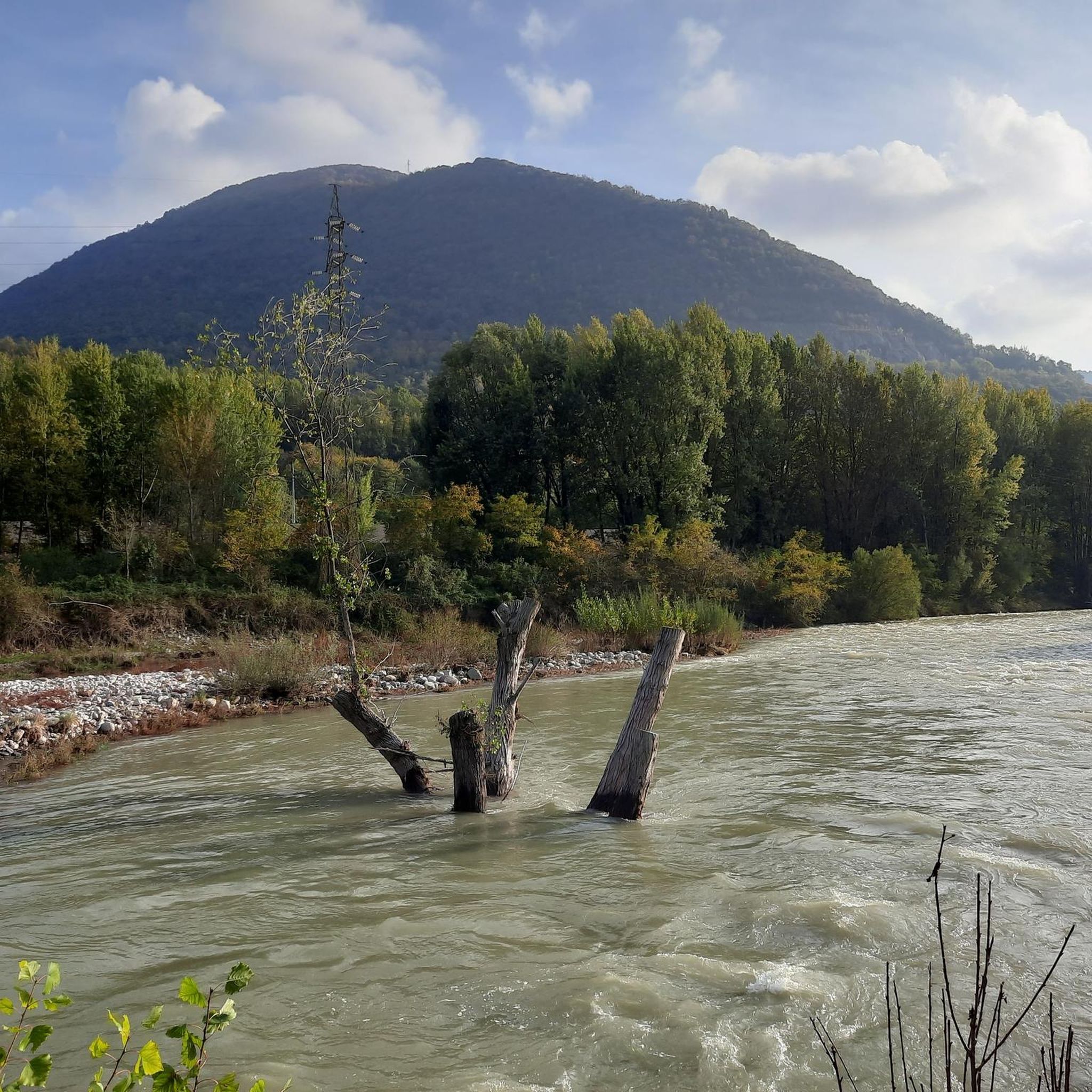
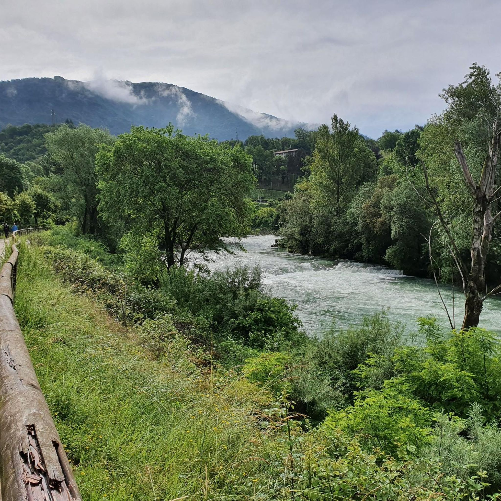
Other adventures around Albino

Tips from the Community

nice cave, about ten meters long, beautiful concretions.
0
0

From the ice cream shop/restaurant, you can access one of the most fun (and technical) trails in the area, the Agostini. It takes its name from the Bergamo motorcyclist champion, as at the end of the trail, on the right, you can see the racer's villa.
0
0
Salmezza path increasingly eroded and ruined
1
0

Cà del Lacc is a hiking landmark located near Ponteranica, in the province of Bergamo. The name comes from the Bergamo dialect and means "House of Milk", probably linked to an ancient dairy production activity. It is a crossroads of paths that connect several locations, including Colle di Ranica, Canto Alto, Olera and Lonno. The route is immersed in the woods and offers beautiful views of the valley. It is a popular destination for hikers and nature lovers, with well-marked trails suitable for different levels of experience
0
0
Croce dei Morti is a landmark along trail 606, located in the Parco dei Colli di Bergamo. This trail connects several locations, including Torre Boldone and Colle di Ranica, offering splendid views of the Val Seriana and the Bergamo plain. The name "Croce dei Morti" may derive from historical events related to the area, but today it is mainly a point of passage for hikers and nature lovers. The trail is easy and accessible, with a length of about 2.9 km and a difference in altitude of 42 meters. If you want to explore the area, you can start from the trattoria in the Croce dei Morti area and follow the trail towards Colle di Ranica, passing by Croce del Boscone. It is a perfect excursion for a relaxing walk surrounded by greenery! 😊
0
0

via ferrata not too difficult but not too obvious either, certainly have the equipment before tackling it.
0
0
Semi-hidden cave with no signs.
0
0

Perhaps in front of this small sacred monument, which the hiker encounters here in the form of a cross, a few short sentences from Pope Francis are of interest (address of April 5, 2024): "Feel called (...) to bring into the Church and into the world a little of that immense love that compelled Jesus to die on the cross for us. May the familiar closeness to Him make you, as it was with Francis [of Assisi], ever more humble, united, joyful and essential, in love for the cross and in attention to the poor, witnesses of peace and prophets of hope in this time of ours, which has so much difficulty in recognizing the presence of the Lord." (Pope Francis)
0
0
Frequently Asked Questions
How many mountaineering routes are available around Albino?
There are several challenging mountaineering routes around Albino, all rated as difficult. These routes offer significant elevation gains and varied terrain, providing a demanding experience for mountaineers.
Are there any circular mountaineering routes near Albino?
Yes, many of the mountaineering routes around Albino are circular. For example, the Monte Alben Summit – Rifugio Monte Alben loop from Cornalba is a challenging 12.5 km route, and the Canto Alto – Pisgiù loop from Sorisole covers 10.0 km through varied mountain terrain.
What are the typical distances and elevation gains for mountaineering routes in the Albino area?
Mountaineering routes around Albino vary in length and elevation. You can expect distances ranging from approximately 5.4 km, such as the Start of Ferrata San Nicolò loop from San Pellegrino Terme with 285 meters of elevation gain, up to 17.3 km for the Campanua – Canto Alto loop from Torre Boldone, which features 835 meters of ascent. The Monte Alben Summit – Rifugio Monte Alben loop from Cornalba, for instance, involves over 1000 meters of elevation gain.
What kind of natural features can I expect to see along mountaineering routes near Albino?
The routes around Albino are set within the scenic Seriana Valley and the Orobie Bergamasche Park, offering lush greenery and impressive mountain reliefs. You'll encounter diverse flora, river paths, and limestone sport crags. Notable peaks like Canto Alto Summit and Monte Misma Summit provide panoramic views.
Are there any significant viewpoints along the mountaineering routes?
Yes, the region is known for its panoramic viewpoints. Peaks such as Canto Alto Summit and Monte Misma Summit offer expansive views of the surrounding landscape, including Bergamo and the Seriana Valley. The Monte Alben Summit – Rifugio Monte Alben loop from Cornalba also leads to the prominent Monte Alben Summit, known for its vistas.
What do other mountaineers say about the routes around Albino?
The mountaineering routes around Albino are highly rated by the komoot community, with an average score of 4.8 stars from over 5 reviews. Mountaineers often praise the challenging ascents, varied terrain, and the scenic beauty of the Seriana Valley and Orobie Bergamasche Park.
What is the best season for mountaineering in Albino?
Spring and summer are generally the most favorable seasons for exploring the natural attractions and mountaineering trails around Albino. The weather conditions are typically more stable, making for a more enjoyable and safer experience in the mountainous terrain.
Are there any historical landmarks or attractions near the mountaineering trails?
Beyond the natural beauty, you can find historical landmarks in the broader region. For example, there are several castles nearby, such as Terzi Castle and Castello Camozzi Vertova. Religious buildings like Croce dei Morti Chapel are also present in the area.
Are there any routes that are particularly challenging for advanced mountaineers?
All the listed mountaineering routes around Albino are rated as difficult, catering to experienced mountaineers. The Monte Alben Summit – Rifugio Monte Alben loop from Cornalba, with its 1077 meters of elevation gain over 12.5 km, offers a significant challenge. Similarly, the Start of Ferrata San Nicolò loop from San Pellegrino Terme provides a demanding experience with notable elevation changes.
What kind of terrain can I expect on the mountaineering routes around Albino?
The terrain around Albino is diverse, characterized by impressive mountain reliefs, lush greenery, and an extensive network of trails. You'll encounter varied surfaces, including rocky paths, forest trails, and sections near limestone sport crags, all within the scenic Seriana Valley.
Most popular attractions around Albino

Get inspired with the komoot mobile app


Explore more
Browse the best Mountain Hikes & Routes in other regions.
