The best road cycling routes around Costigliole Saluzzo
4.2
(189)
8,669
riders
17
rides
Road cycling around Costigliole Saluzzo offers diverse terrain at the entrance to the Valle Varaita in Italy's Piedmont region. The area features undulating hills and demanding mountain ascents, including the majestic Cottian Alps and Monte Viso. Winding roads lead through varied landscapes, from lush forests and green fields to more rugged, high-alpine environments, providing opportunities for significant elevation gains.
Best road cycling routes around Costigliole Saluzzo
- The most popular road cycling route is Campanile delle Ore of Revello – Historic…
Last updated: October 13, 2026
4.7
(6)
354
riders
51.8km
03:00
1,110m
1,110m
Hard road ride. Very good fitness required. Mostly well-paved surfaces and easy to ride.
5.0
(2)
99
riders
98.4km
04:35
970m
970m
Hard road ride. Very good fitness required. Mostly well-paved surfaces and easy to ride.

90
riders
Moderate road ride. Good fitness required. Some segments of this route may be unpaved and difficult to ride.
3.5
(2)
47
riders
27.3km
01:29
140m
140m
Easy road ride. Great for any fitness level. Mostly well-paved surfaces and easy to ride.
5.0
(2)
44
riders
94.7km
04:26
1,030m
1,030m
Hard road ride. Very good fitness required. Some segments of this route may be unpaved and difficult to ride.
Get access to more routes and recommendations from other explorers.
Already have an account?
Our route recommendations are based on thousands of hikes, rides, and runs completed by other people on komoot.
Start today with a free account
Your next adventure awaits.

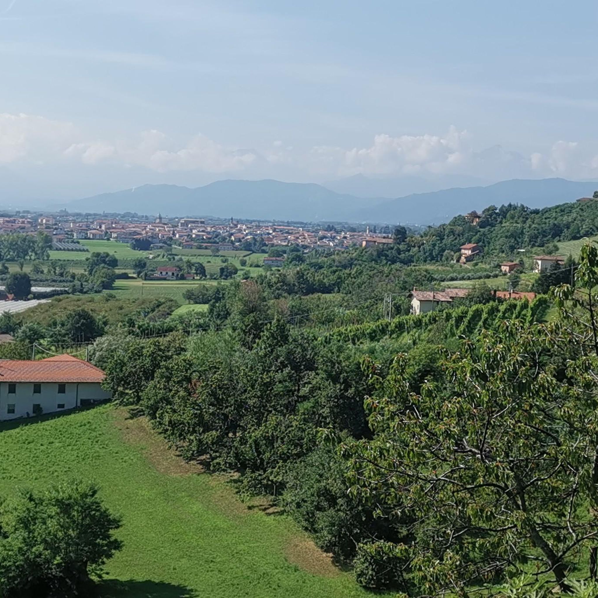
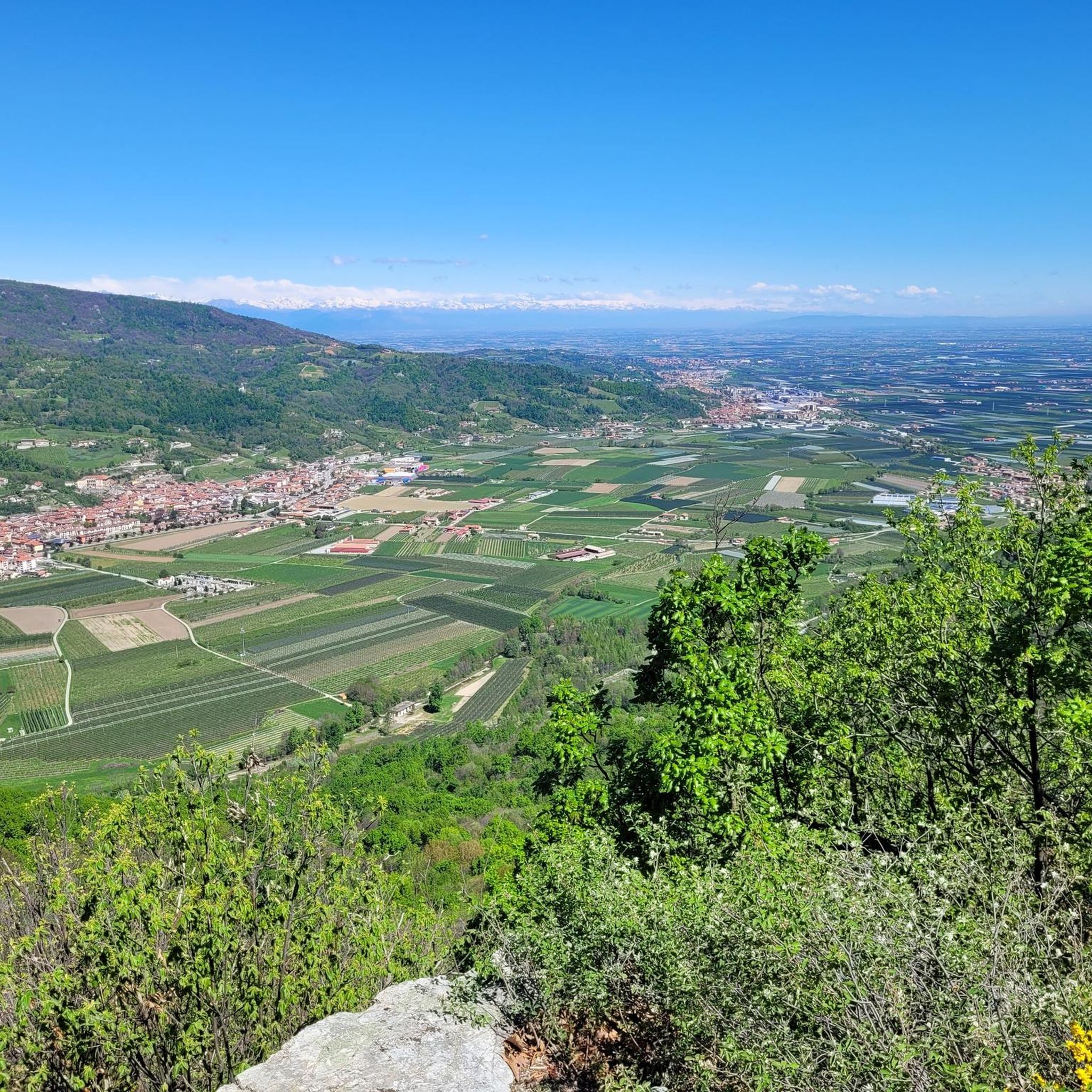
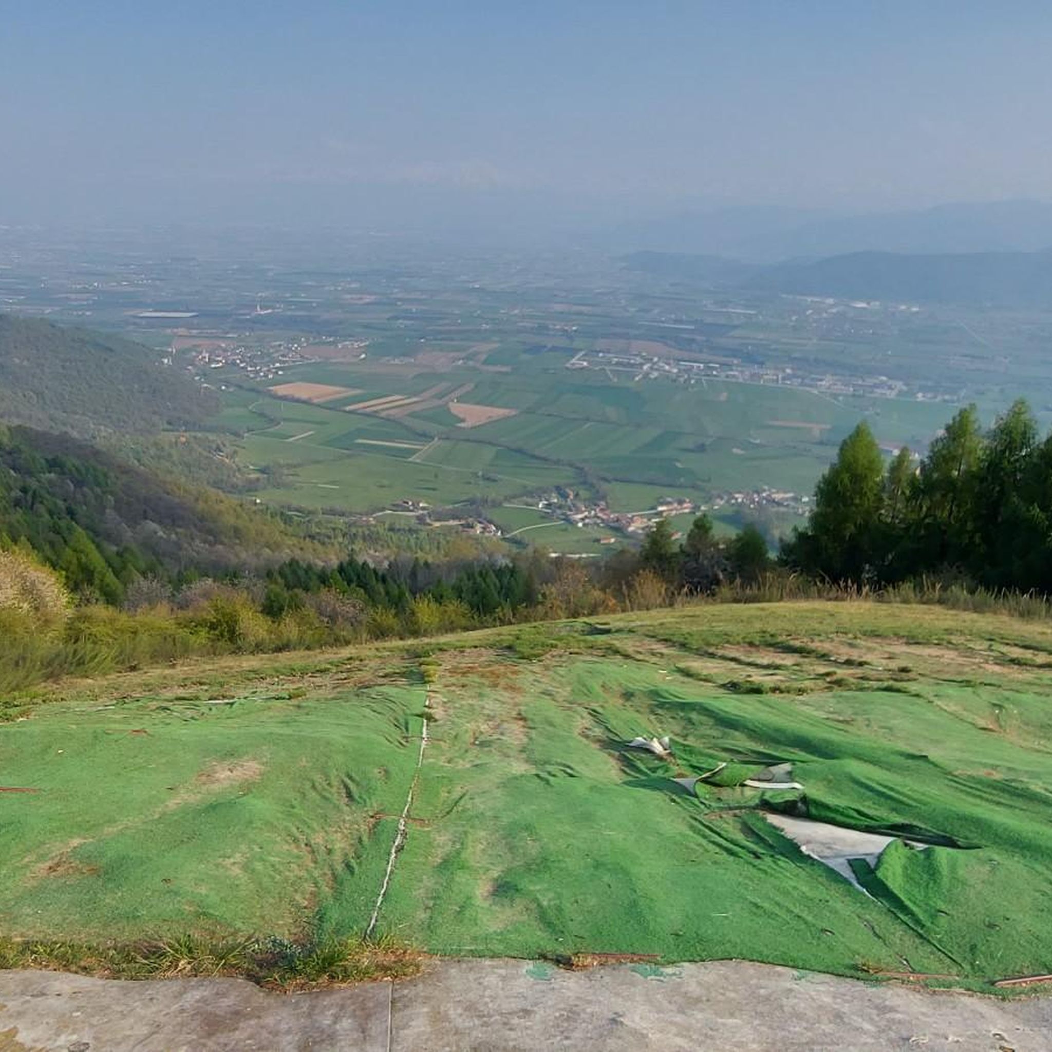

Tips from the Community

Beautiful church between Baroque and Neoclassical, with a facade and sides in exposed brick (I suspect it was originally fully plastered). It is located in a very panoramic position, truly postcard-worthy. Useful are the two nearby picnic areas - one right opposite the church, with barbecue and fountain, but without shade; and one just downstream, with only two tables with benches, but shaded and cool. A nice spot for a break, a beautiful destination for a trip.
0
0
Bella chiesa dalle forme semplicissime, affacciata su un panorama stupendo sulla pianura sottostante. Nei pressi, punto acqua. La frazione di Lemma è una meraviglia, per qualche motivo ispira proprio un senso di armonia e bellezza. Una gita sicuramente consigliata.
0
0
Wonderful little town, both for the fairytale panorama and for the town itself, which has a strange sense of beauty and harmony. For me it was love at first sight. The road that goes up there is wonderful, and the road that goes up from Lemma towards the Sanctuary of Valmala is also beautiful.
0
0
Interesting sanctuary in the middle of greenery, reachable by various roads that are not too busy and very beautiful to ride - including the Strada dei Cannoni, which however in the initial stretch from Colletta di Rossana to Valmala is a bit closed: much better to go up from Lemma, or from Valcurta (the shadiest). At the sanctuary, various bars and restaurants for support, free water point, toilets.
0
0
From the bridge over the Varaita, entering Costigliole from the Saluzzo/Piasco side, you get a beautiful overview of the upper part of the town with its churches and castles (remember that there are as many as three castles in Costigliole Saluzzo).
1
0
Source of fresh drinking water (as the name suggests, "Fontana Fredda" in Italian), next to the provincial road 333, right at the beginning just after leaving Campomolino. Interesting, and useful. For those who don't trust the potability too much, in the village of Campomolino there is a more "modern" fountain - but I suspect it relies on the same source...
0
0
Beautiful road segment connecting Vallera to Valgrana, passing at the foot of the mountain through woods and real green tunnels.
0
0
Stone bridge at the beginning of one of the trails in the splendid trail network of this area of Val Maira. It stands out against the backdrop of the mountain behind, and offers a beautiful view.
0
0
Frequently Asked Questions
What kind of terrain can I expect when road cycling around Costigliole Saluzzo?
The region offers a dynamic and engaging experience for road cyclists, ranging from undulating hills to demanding mountain ascents. As a gateway to the Valle Varaita, you'll find stunning mountain ranges like the Cottian Alps and Monte Viso. Routes feature winding roads through varied landscapes, from lush forests and green fields to more rugged, high-alpine environments, providing opportunities for significant elevation gains.
Are there road cycling routes suitable for beginners or those looking for an easier ride?
Yes, while the area is known for its challenging climbs, there are routes suitable for various skill levels. Out of the 19 road cycling routes available, 16 are rated as moderate, and at least one is considered easy. These routes often feature mostly paved surfaces and less significant elevation gains, allowing for a more relaxed exploration of the scenic countryside.
Where can I find challenging road cycling routes with significant elevation gain?
For experienced cyclists seeking a challenge, Costigliole Saluzzo offers routes with substantial elevation. For example, the Church of San Martino (Busca) – Devil's Bridge in Dronero loop from Costigliole Saluzzo is a difficult 56.7-mile (91.3 km) trail with over 900 meters of elevation gain. The broader region also includes iconic climbs like the Colle dell'Agnello, one of Europe's highest paved mountain passes.
What historical landmarks or cultural attractions can I see along the road cycling routes?
Costigliole Saluzzo is known as the 'country of castles,' and many routes pass by these historic structures. You can cycle past the three prominent castles overlooking the medieval core, or explore nearby sites. Notable attractions include The Castiglia of Saluzzo, Manta Castle, and Castellar Castle. The historic center of Saluzzo also offers rich heritage to explore.
Are there any natural features or scenic viewpoints to enjoy while road cycling?
Absolutely. The routes frequently offer panoramic views of the Piedmontese landscape and the surrounding Alps. You can discover unique rock formations at the Ciciu del Villar Rock Formations. For breathtaking vistas, consider routes that pass by the Monte San Bernardo Summit and Panoramic View, or the chapel of San Bernardo del Vecchio.
What is the best time of year for road cycling in Costigliole Saluzzo?
The mild climate in the hilly areas around Costigliole Saluzzo makes it suitable for cycling for much of the year. Spring and autumn generally offer pleasant temperatures and beautiful scenery. For tackling higher alpine passes in the broader region, summer months are ideal when the passes are clear of snow.
Are there any loop road cycling routes available?
Yes, many of the road cycling routes around Costigliole Saluzzo are designed as loops, allowing you to start and end in the same location. For instance, the Campanile delle Ore of Revello – Historic Center of Saluzzo loop from Costigliole Saluzzo is a popular 44.3-mile (71.2 km) circular route. Another option is the Devil's Bridge of Dronero – Borgata Gardiola loop from Costigliole Saluzzo.
What do other road cyclists say about the routes in Costigliole Saluzzo?
The road cycling routes in Costigliole Saluzzo are highly regarded by the komoot community, holding an average rating of 4.0 stars from over 80 reviews. Cyclists often praise the diverse terrain, the stunning alpine scenery, and the rich historical context provided by the numerous castles and charming villages along the way.
Are there family-friendly road cycling options in the area?
While many routes involve elevation, the presence of moderate and easier options suggests that families with some cycling experience can find suitable paths. The scenic countryside and historic towns offer pleasant stops. For a more relaxed pace, look for routes with less elevation gain, such as the View of the River and Bridge – Poppy Fields loop from Costigliole Saluzzo, which has a more gentle elevation profile.
Can I find places to stop for coffee or refreshments along the routes?
The region is dotted with picturesque towns and villages, many featuring traditional architecture. These offer excellent opportunities to stop for coffee, refreshments, or a meal. Exploring the historic centers of places like Saluzzo or other charming villages along your chosen route will likely provide suitable options for breaks.
What is the typical length and duration of road cycling routes around Costigliole Saluzzo?
The road cycling routes vary in length and duration to suit different preferences. You can find routes ranging from approximately 34 miles (55 km) to over 56 miles (91 km). A moderate route like the Castellar Castle – Historic center of Saluzzo loop from Costigliole Saluzzo, which is 34.4 miles (55.3 km), typically takes around 2 hours and 50 minutes to complete, while longer, more challenging routes can take over 4 hours.
Most popular routes around Costigliole Saluzzo
Most popular attractions around Costigliole Saluzzo

Get inspired with the komoot mobile app


Explore more
Browse the best Road cycling routes in other regions.
