The best running trails around Borgo Val Di Taro
4.1
(15)
720
runners
46
runs
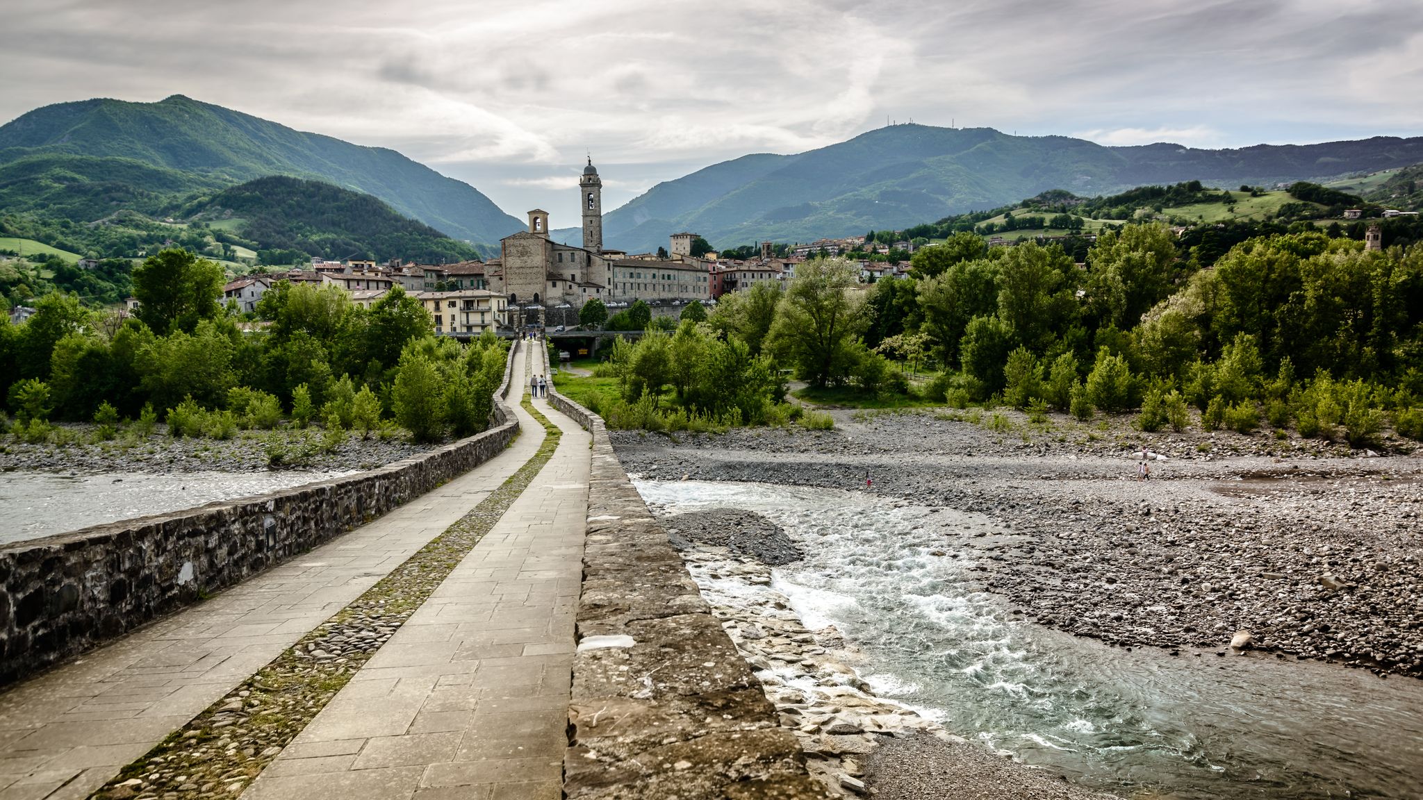
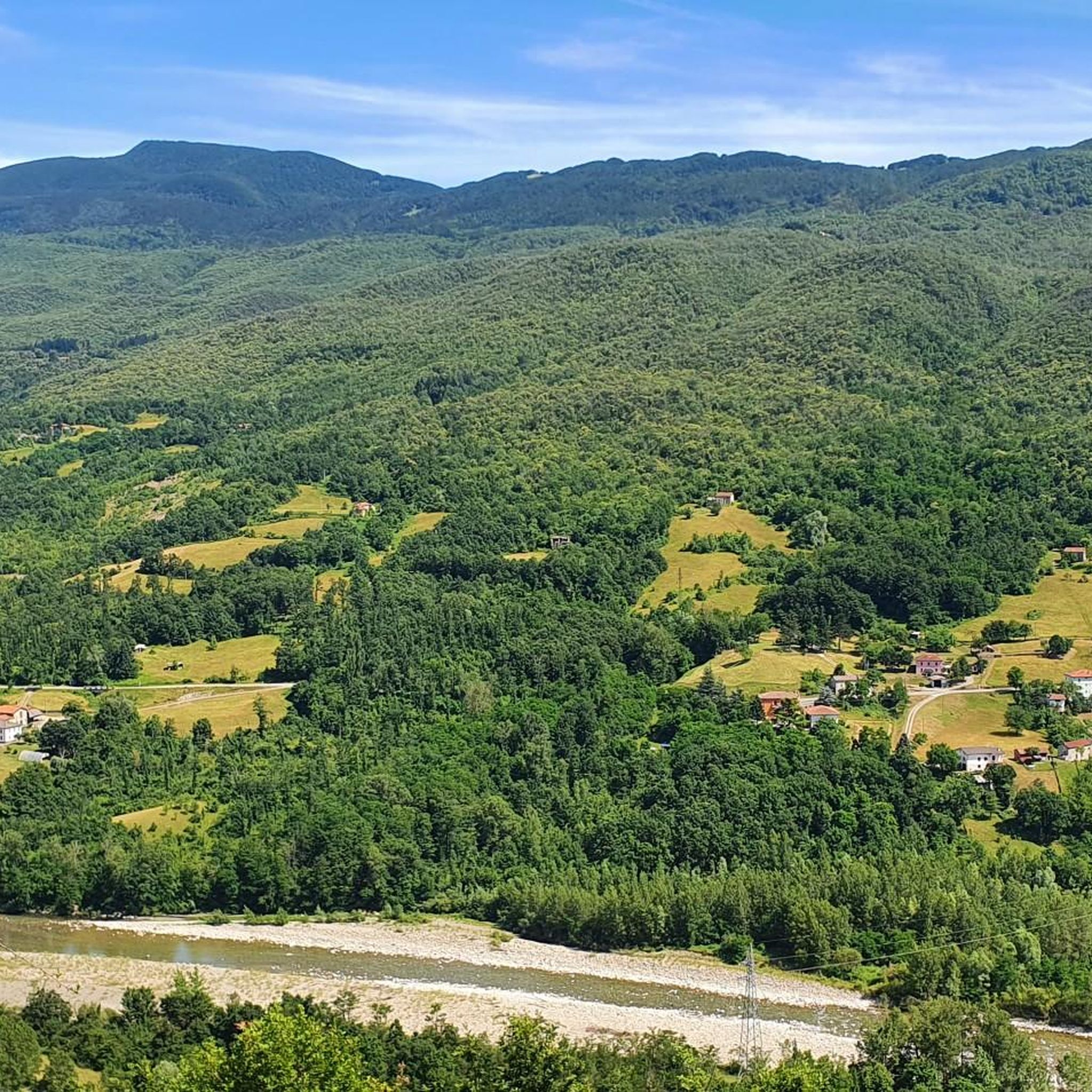
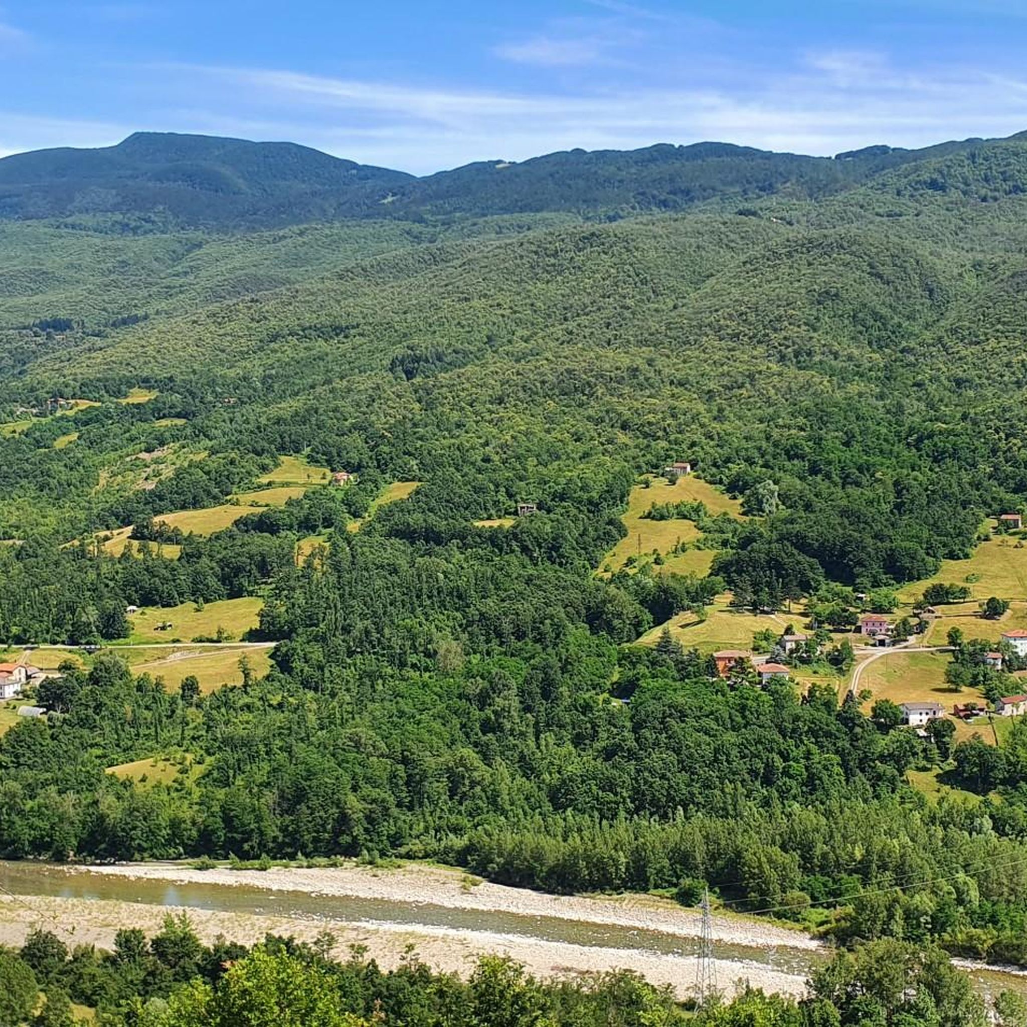
Jogging routes around Borgo Val Di Taro traverse the scenic Apennine Mountains, offering a varied topography from gentle hills to more challenging mountain paths. The region is characterized by the prominent Taro River and its regional park, featuring meadows, wooded areas, and well-maintained paths. Diverse landscapes, including the Oasi dei Ghirardi Regional Nature Reserve, provide a range of natural environments for running.
Best jogging routes around Borgo Val di Taro
- The most popular jogging route is Borgotaro Cycle Path Loop, a 4.5 miles (7.3 km) trail that takes 45 minutes to complete. This moderate route combines natural scenery with historical war memorials, largely on paved surfaces.
- Another top favourite among local runners is Il Poggio – Monte Zuccone loop from Borgo Val di Taro, a difficult 15.6 miles (25.1 km) path. This route offers significant elevation gains through the Apennine terrain, requiring good fitness.
- Local runners also love the Running loop from Cappella, a 4.9 miles (7.9 km) trail leading through gentle hills and the Taro River valley, often completed in about 51 minutes.
- Jogging around Borgo Val Di Taro is defined by the Apennine Mountains, the Taro River, and diverse hills and valleys. The network offers options for various ability levels, from easy riverside paths to demanding mountain trails.
- The routes in Borgo Val Di Taro are highly rated by the komoot community with an average score of 4.0 stars from over 10 reviews. More than 600 runners have used komoot to explore Borgo Val Di Taro's varied terrain.
Last updated: October 10, 2026
3.0
(1)
12
runners
7.29km
00:46
60m
60m
Moderate run. Good fitness required. Mostly paved surfaces. Suitable for all skill levels.
41
runners
40.1km
05:37
1,830m
1,830m
Hard run. Very good fitness required. Sure-footedness, sturdy shoes and alpine experience required.

4.0
(1)
32
runners
10.8km
01:08
100m
100m
Moderate run. Good fitness required. Mostly paved surfaces. Suitable for all skill levels.
28
runners
25.5km
03:27
1,030m
1,030m
Hard run. Very good fitness required. Sure-footedness, sturdy shoes and alpine experience required.
4.3
(3)
59
runners
9.35km
01:00
50m
50m
Moderate run. Good fitness required. Mostly paved surfaces. Suitable for all skill levels.
Get access to more routes and recommendations from other explorers.
Already have an account?
Our route recommendations are based on thousands of hikes, rides, and runs completed by other people on komoot.
Start today with a free account
Your next adventure awaits.
Popular around Borgo Val Di Taro


Tips from the Community

Pass between the provinces of Massa and Parma
0
0

Incredible views over both sides to see, on a clear day, a vast array of forrest as well as towns.
0
0

On the road to the Parma Apennines, at 953 m above sea level, stands the ancient Tomellino inn at the Brattello pass. The Brattello pass, which connects Borgotaro to Pontremoli, is a gateway between the provinces of Parma and Massa Carrara, immersed in the suggestive Brattello forest.
1
0

In the splendid natural setting of the upper Val Taro, follow a wide and panoramic path that leads you to the monument to the partisans of the Valle del Verde. From here it is possible to admire the famous peaks of the Parma ridge: Marmagna, Braiola and Orsaro.
2
0

The road is reserved for pedestrians and bicycles and in a splendid green setting it connects Borgo Val di Taro to Ostia Parmense.
2
0
At the foot of the memorial lie the stones engraved with the names of the fallen (partisans, civilians and deportees) during World War II.
1
0

Memorial to the dead of all Italian wars, including the partisans, victims of reprisals, Allied bombing raids and deportees.
1
0

The old inn of Tomellino on the Brattello pass. Unfortunately no rest stop was open. But we had enough water and glucose with us. A café would have been the crowning glory, however.
1
1
Frequently Asked Questions
How many running routes are available in Borgo Val di Taro?
Borgo Val di Taro offers a wide selection of running routes, with over 40 trails documented on komoot. These range from easy riverside paths to challenging mountain runs through the Apennines.
Are there any easy or beginner-friendly jogging paths in the area?
Yes, for those seeking easier runs, the region provides several options. The Borgotaro Cycle Path Loop is a moderate 7.3 km route largely on paved surfaces, suitable for various fitness levels. Additionally, the Taro River Regional Park features ten well-equipped paths, and the 'Bike Path of Borgotaro' offers an easy, over 20 km route along the river, perfect for gentle jogging amidst greenery.
What kind of terrain can I expect on the running trails around Borgo Val di Taro?
The terrain is quite diverse, reflecting its location in the Apennine Mountains at the crossroads of Emilia-Romagna, Tuscany, and Liguria. You'll find everything from gentle hills and flat riverside paths along the Taro River to more challenging mountain trails with significant elevation gains. The Oasi dei Ghirardi Regional Nature Reserve also offers accessible trails through meadows, woods, and streams.
Are there any long-distance running routes for experienced runners?
Absolutely. For experienced runners looking for a challenge, Borgo Val di Taro has several demanding routes. The Monte Molinatico Summit – Lake Martino loop from Borgo Val di Taro is a difficult 40 km path with substantial elevation, while the Tarodine loop from Ostia Parmense offers an 18.4 km difficult run. These routes provide significant elevation gains and require good fitness.
Can I find circular running routes in Borgo Val di Taro?
Yes, many of the running routes in Borgo Val di Taro are circular, allowing you to start and finish at the same point. Examples include the popular Borgotaro Cycle Path Loop and the Running loop from Cappella, which takes you through gentle hills and the Taro River valley.
What natural attractions or landmarks can I see while running in the region?
While running, you can explore the diverse landscapes of the Apennines, including the prominent Taro River and its regional park with picturesque meadows and wooded areas. You might also encounter historical pathways like sections of the Via Francigena. Notable highlights in the broader area include the Passo della Cisa and the Monte Gottero Summit, offering stunning views.
What do other runners enjoy most about jogging in Borgo Val di Taro?
The running routes in Borgo Val di Taro are highly rated by the komoot community, with an average score of 4.0 stars. Runners often praise the diverse scenery, from the tranquil Taro River valley to the more challenging mountain paths, and the opportunity to experience the natural beauty of the Apennines.
Are there any specific areas known for scenic running trails?
The entire region offers scenic beauty, but the areas around the Taro River and within the Taro River Regional Park are particularly picturesque, featuring willow bushes, shrubs, large meadows, and wooded areas. The Oasi dei Ghirardi Regional Nature Reserve also provides enchanting landscapes with diverse flora and fauna, ideal for trail running.
Are the running trails in Borgo Val di Taro suitable for families?
Yes, many of the easier and moderate routes, particularly those along the Taro River and within the regional park, are suitable for families. These paths often have gentler gradients and offer a pleasant environment for a family run or walk. The 'Bike Path of Borgotaro' is an excellent example of an easy, accessible route.
What is the best time of year for running in Borgo Val di Taro?
Spring and summer are particularly vibrant, with the gentle hills and mountains lush with green, and clear streams offering refreshing routes. The weather is generally pleasant for outdoor activities during these seasons. However, the diverse terrain means that with appropriate gear, running can be enjoyed year-round, with autumn offering beautiful foliage and winter providing a different, often quieter, experience.
Are there any routes that offer a mix of natural scenery and historical interest?
Yes, the Borgotaro Cycle Path Loop is a moderate route that combines natural scenery with historical war memorials. Additionally, the region is traversed by ancient routes like the Via Francigena, which, while primarily hiking paths, can offer culturally rich sections for longer runs or walks.
How accessible are the running routes by public transport or car parking?
While specific public transport details for each trailhead are not provided, Borgo Val di Taro is a town with local amenities. Many routes likely have starting points accessible by car, with parking available in or near the town. For routes further afield, it's advisable to check local transport options or plan for car access.
Most popular routes around Borgo Val Di Taro
Most popular attractions around Borgo Val Di Taro

Get inspired with the komoot mobile app


Explore more
Browse the best Running Trails & Routes in other regions.
