The best running trails around San Damiano Macra
4.7
(46)
1,743
runners
177
runs
Jogging around San Damiano Macra offers diverse routes through the picturesque Valle Maira in Italy's Piedmont region. The area is characterized by mountainous terrain, dense forests, and clear mountain streams, providing varied topography for runners. These natural features create a serene outdoor experience with shaded paths and scenic views. The region's extensive network of trails caters to various fitness levels, from gentle slopes to challenging ascents.
Best jogging routes around San Damiano Macra
- The most popular jogging route is Colle…
Last updated: October 11, 2026
2.0
(1)
11
runners
29.3km
04:23
1,420m
1,420m
Hard run. Very good fitness required. Sure-footedness, sturdy shoes and alpine experience required.
15
runners
Hard run. Very good fitness required. Mostly paved surfaces. Suitable for all skill levels.

6
runners
14.8km
01:39
200m
210m
Moderate run. Good fitness required. Mostly paved surfaces. Suitable for all skill levels.
5
runners
Hard run. Very good fitness required. Mostly paved surfaces. Suitable for all skill levels.
4
runners
Hard run. Very good fitness required. Mostly paved surfaces. Suitable for all skill levels.
Get access to more routes and recommendations from other explorers.
Already have an account?
Our route recommendations are based on thousands of hikes, rides, and runs completed by other people on komoot.
Start today with a free account
Your next adventure awaits.
Popular around San Damiano Macra
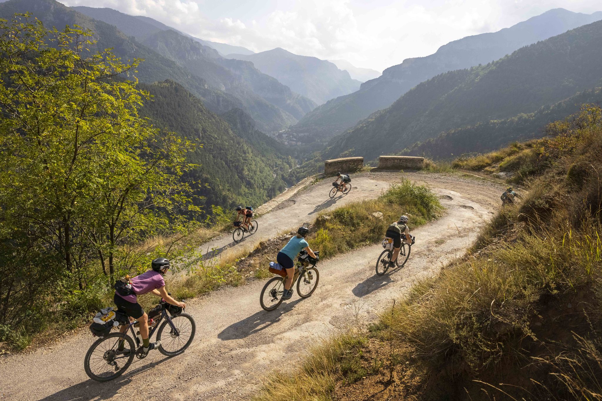
Lael's 2021 Komoot Women's Torino Nice Rally
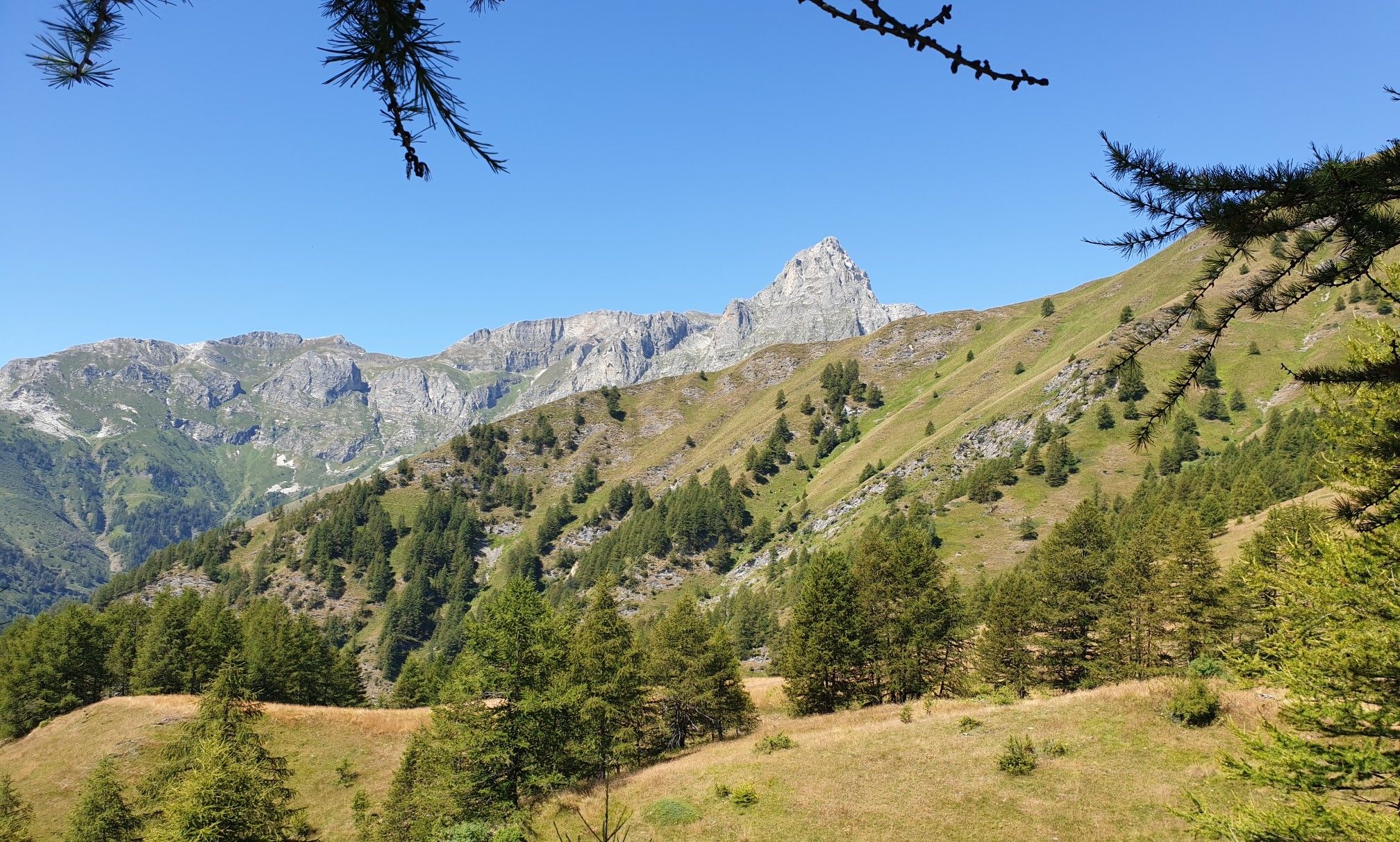
Percorsi Occitani — the path of rebirth of the Maira Valley
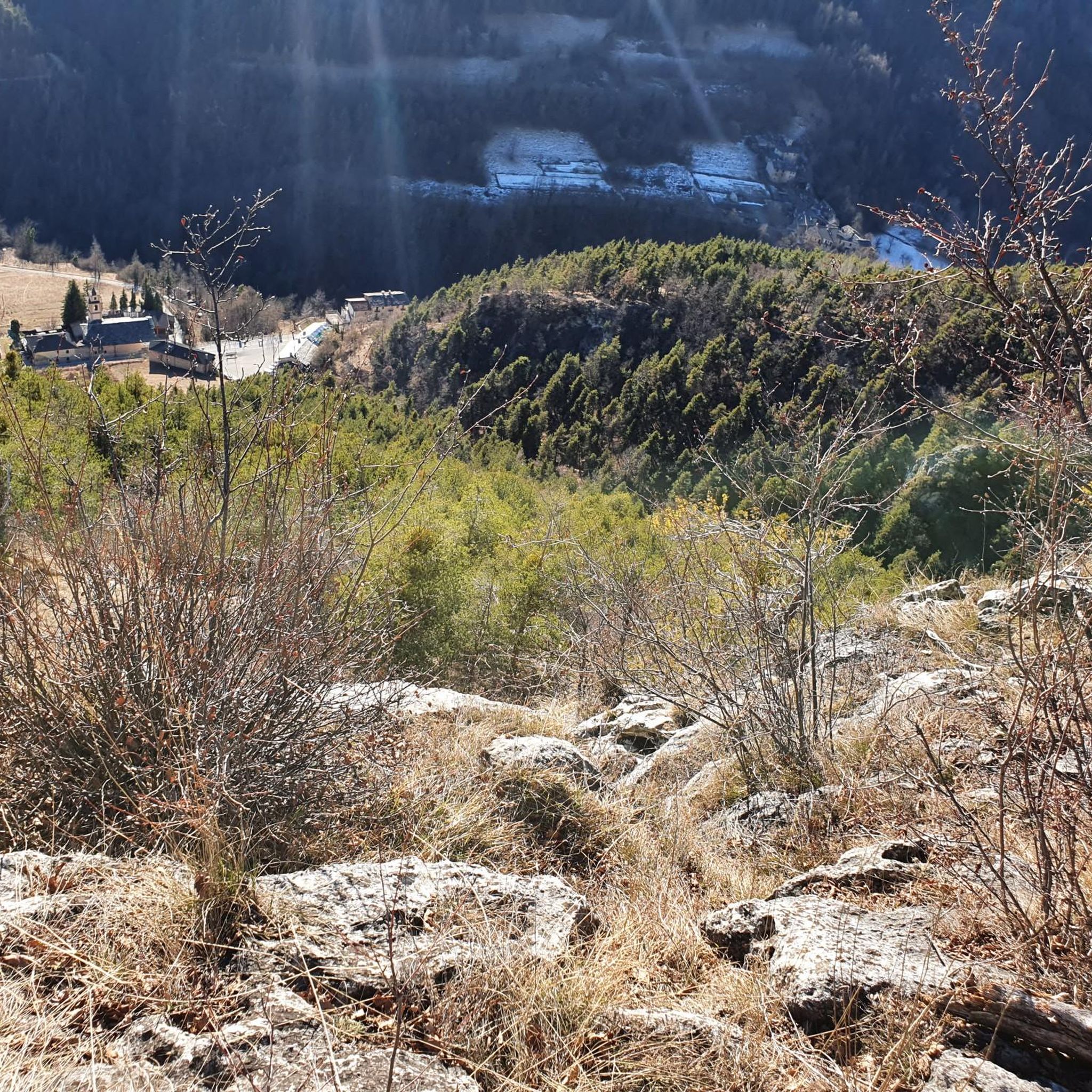
Hiking around San Damiano Macra
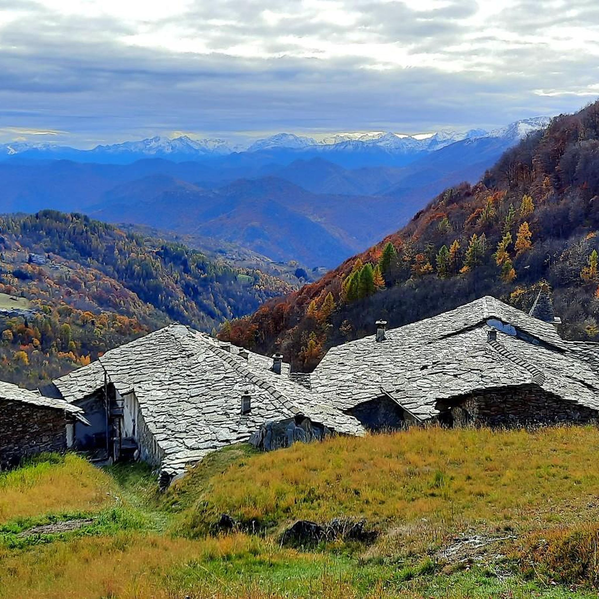
MTB Trails around San Damiano Macra
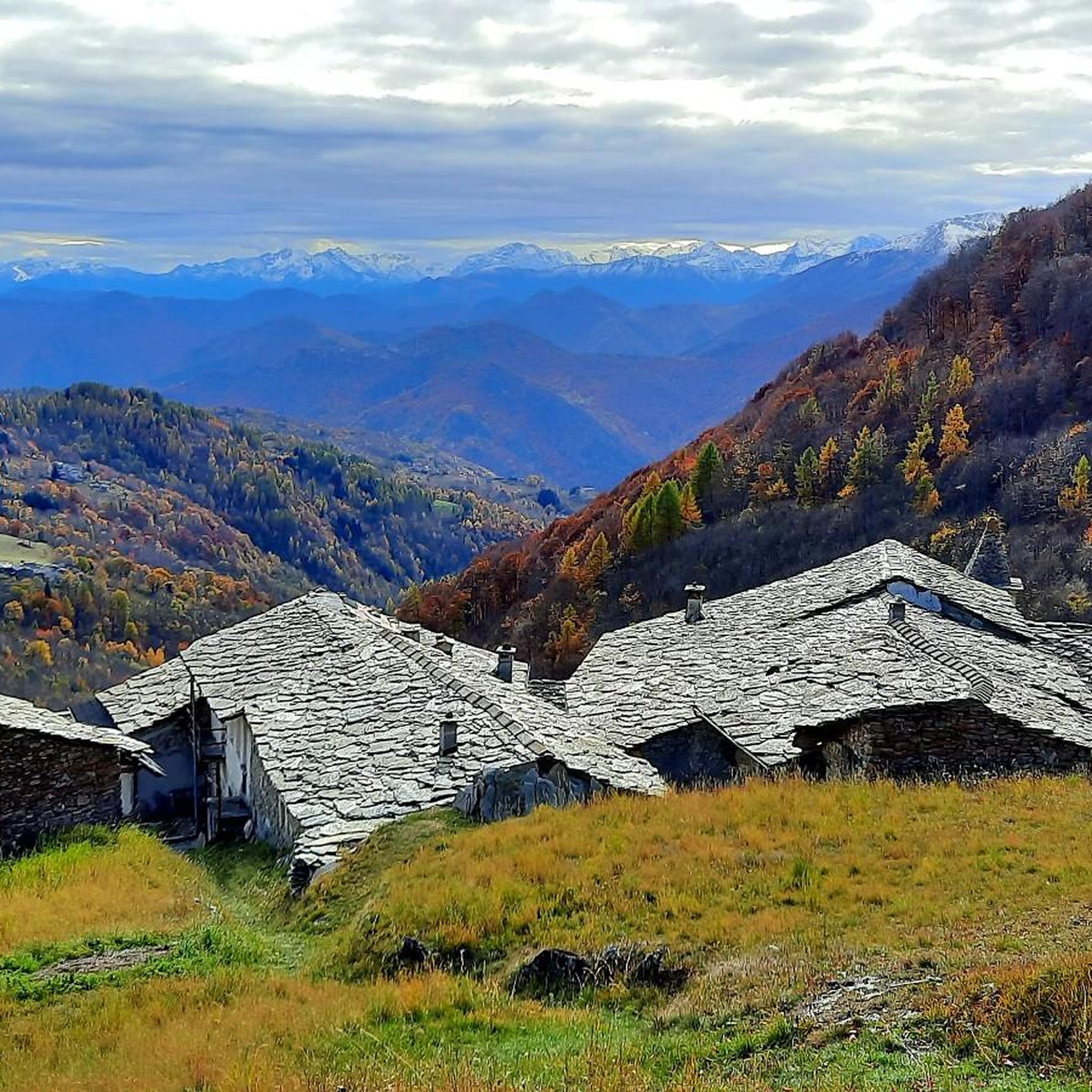
Road Cycling Routes around San Damiano Macra
Gravel biking around San Damiano Macra
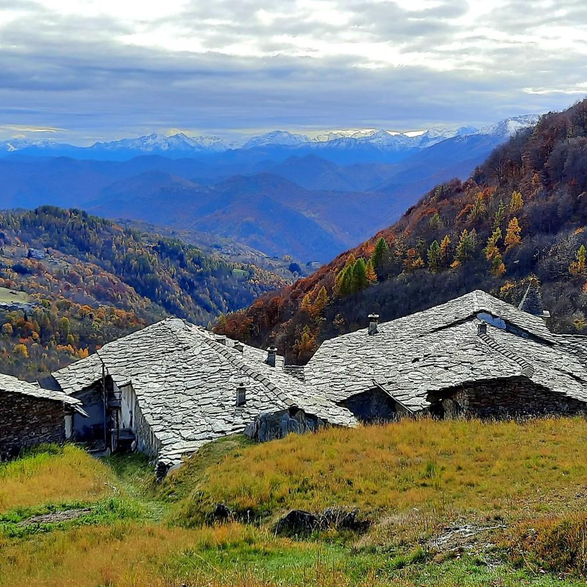
Cycling around San Damiano Macra
Mountain Hikes around San Damiano Macra
Other adventures around San Damiano Macra


Tips from the Community

Main church of the village of San Damiano Macra, clearly visible on the provincial road and opposite the square and the old covered market shed. Impossible to miss.
0
0

Wonderful panoramic point on Mount Birrone
2
0

Final part of the ring that from San Daminano reaches the Via dei Cannoni, not difficult but with loose surfaces.
0
0
Beautiful panoramic hill on the Via dei Cannoni.
1
0

The Santa Margherita hill offers a short panoramic opening among lush vegetation with extraordinary paths for running. Furthermore, there is a small monument in memory of those who fell during the Resistance.
2
0
This panoramic path descends from Mostiola to Molineri di Pagliero and then goes up again. The stretch through the forest, with brief glimpses of the green mountains of Val Maira in the distance, is a true trail running pleasure.
1
0

beautiful village in the lower Maira valley
1
0
Frequently Asked Questions
How many running routes are available around San Damiano Macra?
There are over 140 dedicated running routes around San Damiano Macra. These trails offer a wide range of options, from easy paths to challenging mountain ascents, catering to all fitness levels.
What kind of terrain can I expect on the jogging routes in San Damiano Macra?
The jogging routes in San Damiano Macra feature diverse terrain, including mountainous landscapes, dense forests, and paths alongside clear mountain streams. You'll find everything from gentle slopes to more challenging ascents, providing varied topography for an engaging running experience.
Are there any easy running routes for beginners or casual joggers?
Yes, while many routes are challenging, there are 7 easy running routes available. These provide a gentler introduction to the beautiful landscapes of San Damiano Macra, perfect for beginners or those looking for a more relaxed jog.
What do other runners say about the trails in San Damiano Macra?
The running trails in San Damiano Macra are highly rated by the komoot community, with an average score of 4.7 stars from over 30 reviews. More than 1300 runners have explored the area, often praising the stunning mountain scenery, the quiet forest paths, and the diverse challenges offered by the routes.
Are there any circular running routes in the area?
Yes, many of the routes are circular, allowing you to start and finish in the same location. For example, the difficult Colle di Melle – Monte della Ciabra loop from Sant'Anna is a popular 20.8 km option, or the shorter, challenging Fun trail in the woods loop from San Damiano Macra at 6.8 km.
Can I find any historical sites or landmarks along the running trails?
Yes, the region has historical significance. Beyond natural beauty, you might encounter historical routes like the "Paths of Freedom" used by partisans. Specific landmarks include the Statue of the Virgin Mary at Colle di Sampeyre or the Sanctuary of San Magno, which can be found near some of the trails.
Are there any viewpoints or scenic spots on the running routes?
Absolutely. The mountainous terrain of Valle Maira offers numerous scenic spots. You can find breathtaking views from locations like Liretta Pass or the summit of Mount Tibert, which are accessible via various trails.
What is a good challenging running route for experienced runners?
For experienced runners seeking a challenge, the Colle di Melle loop from San Damiano Macra is a difficult 28.8 km route with significant elevation gain, typically taking over 4 hours to complete. It offers a demanding yet rewarding experience through the mountainous landscape.
Are there any routes that pass through forests?
Many routes in San Damiano Macra lead through dense forests, providing shaded paths and a refreshing natural environment. The Colle Birrone loop from Colle di Ciabra is a difficult 15.4 km route that features varied topography and extensive forest sections, perfect for a shaded run.
What is the best time of year for jogging in San Damiano Macra?
San Damiano Macra is generally excellent for outdoor activities. The region's dense forests and clear mountain streams provide cool air and scenic views, making spring and autumn particularly pleasant for jogging. Summer can also be enjoyable, especially on shaded forest trails, while winter might offer opportunities for snowshoe running on some paths.
Are there any specific trails that offer a mix of mountain and valley views?
Yes, the region's location in the Valle Maira means many routes traverse both mountain slopes and valley floors. The Mount Roccerè – Valmala Pass loop from Sant'Anna is a prime example, offering a challenging 18.8 km run through diverse mountain landscapes with expansive views.
Most popular routes around San Damiano Macra
Most popular attractions around San Damiano Macra

Get inspired with the komoot mobile app


Explore more
Browse the best Running Trails & Routes in other regions.
