The best walks and hikes around Monterosso Grana
4.5
(282)
1,576
hikers
42
hikes
Hiking around Monterosso Grana, nestled in Italy's Alpi Cozie, offers diverse landscapes within the Valle Grana. The region is characterized by mountainous terrain, featuring numerous peaks and extensive chestnut woods. Hikers can explore a network of trails that traverse both high alpine environments and lower valley elevations, including ancient pastures. This area provides varied routes through its natural features.
Best hiking trails around Monterosso Grana
- The most popular hiking route is Mountain trail to Bivacco Rousset (via Route R03),…
Last updated: October 10, 2026
4.8
(8)
44
hikers
9.74km
03:52
590m
590m
Moderate hike. Good fitness required. Mostly accessible paths. Sure-footedness required.
4.7
(3)
14
hikers
14.8km
05:56
970m
980m
Hard hike. Very good fitness required. Mostly accessible paths. Sure-footedness required.

2.0
(2)
4
hikers
Moderate hike. Good fitness required. Easily-accessible paths. Suitable for all skill levels.
4.5
(4)
8
hikers
19.2km
06:15
850m
850m
Hard hike. Very good fitness required. Easily-accessible paths. Suitable for all skill levels.
3
hikers
16.8km
06:03
660m
660m
Hard hike. Very good fitness required. Mostly accessible paths. Sure-footedness required.
Get access to more routes and recommendations from other explorers.
Already have an account?
Our route recommendations are based on thousands of hikes, rides, and runs completed by other people on komoot.
Start today with a free account
Your next adventure awaits.
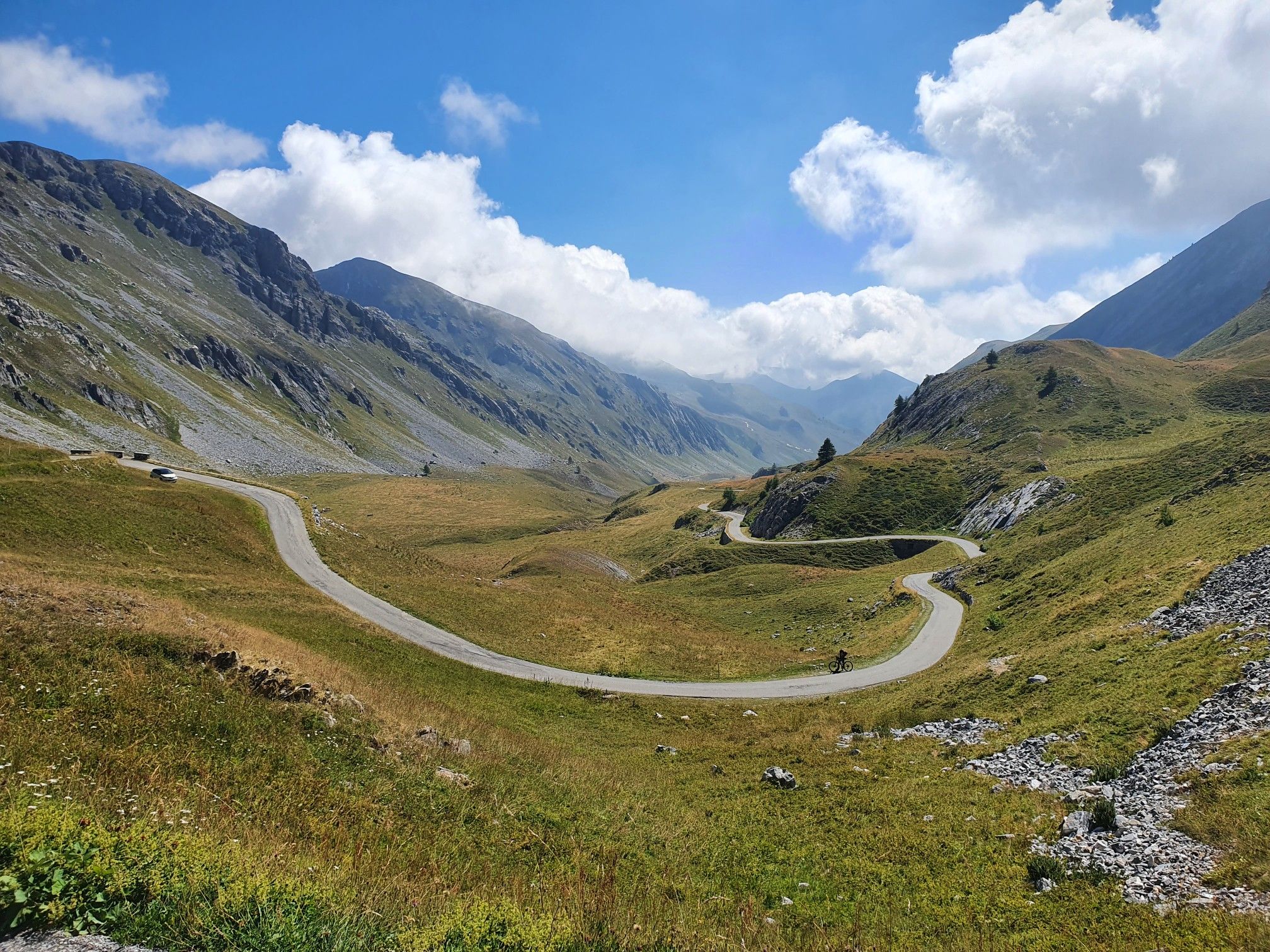
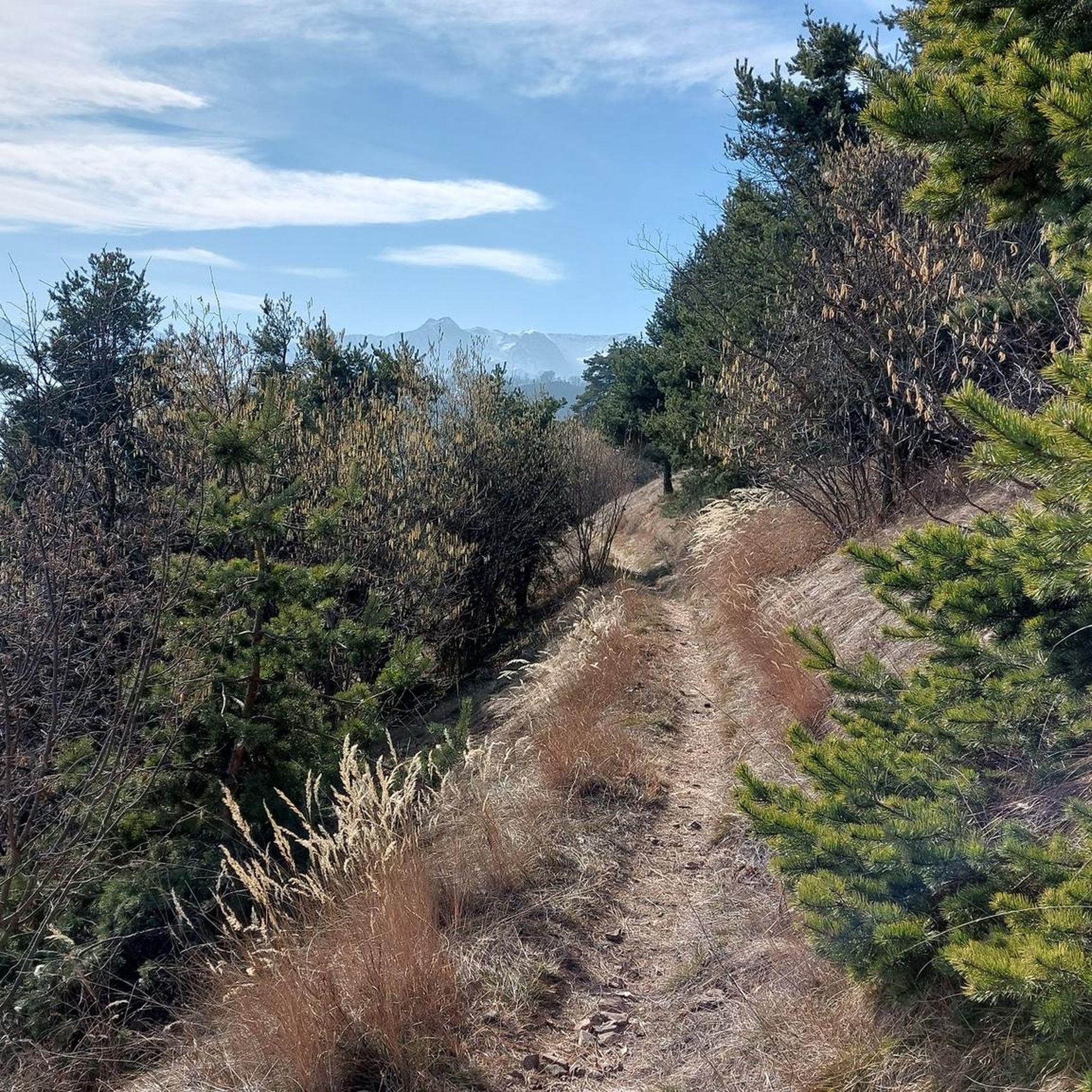
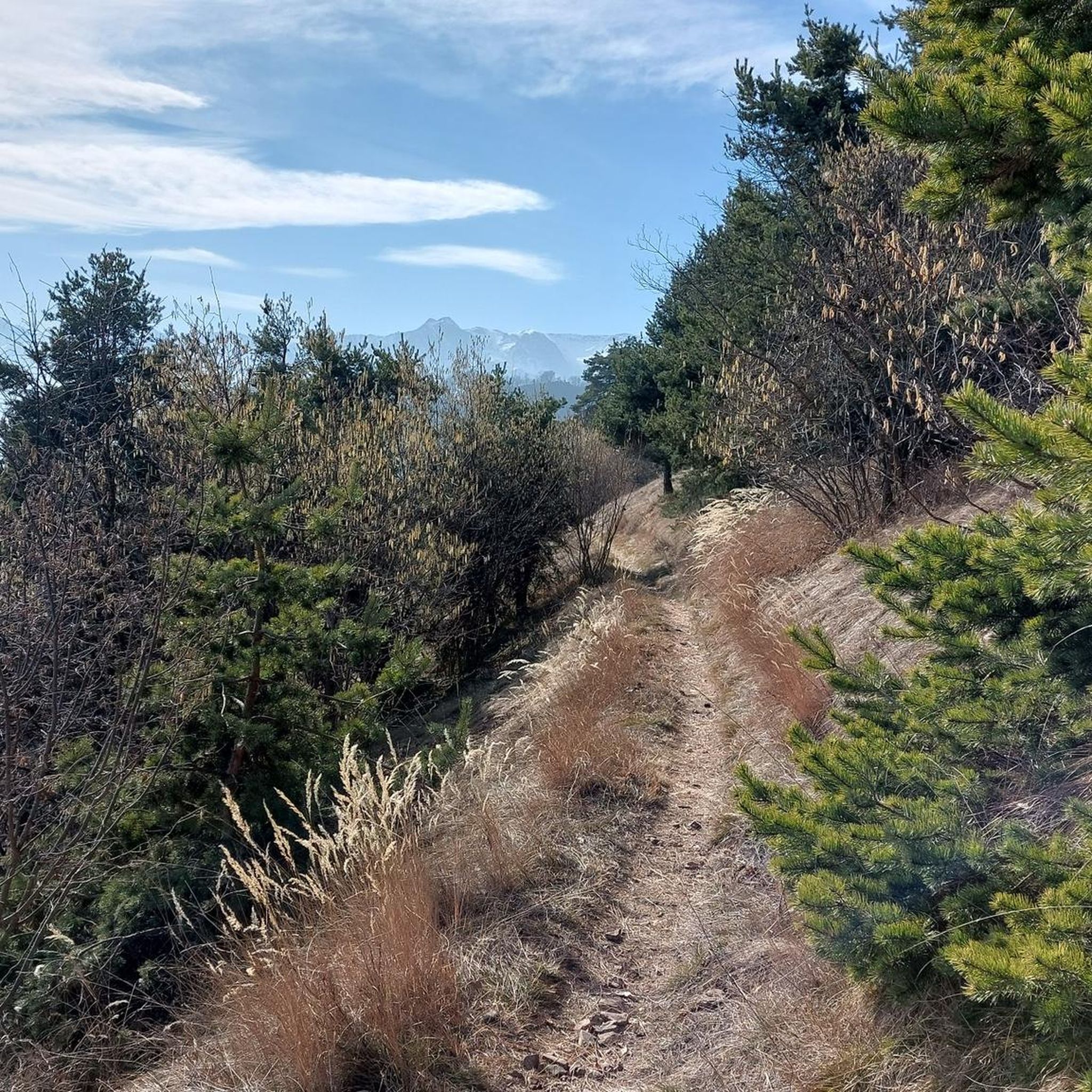
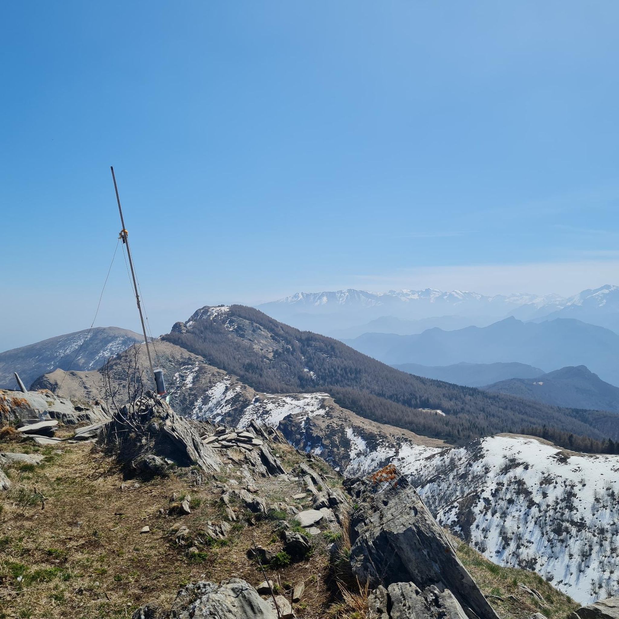
Other adventures around Monterosso Grana

Tips from the Community

Antico castello dei Conti di Monterosso, private (therefore not visitable), but very beautiful even from the outside. In a panoramic position between river and mountain, it creates a beautiful effect. Also interesting is the beautiful stone bridge that connects it to the main nucleus of the village. You have to go there on purpose, leaving the provincial road, but it's a short detour, and absolutely worth it.
0
0

Convenient area to park and set off on various trails
0
0
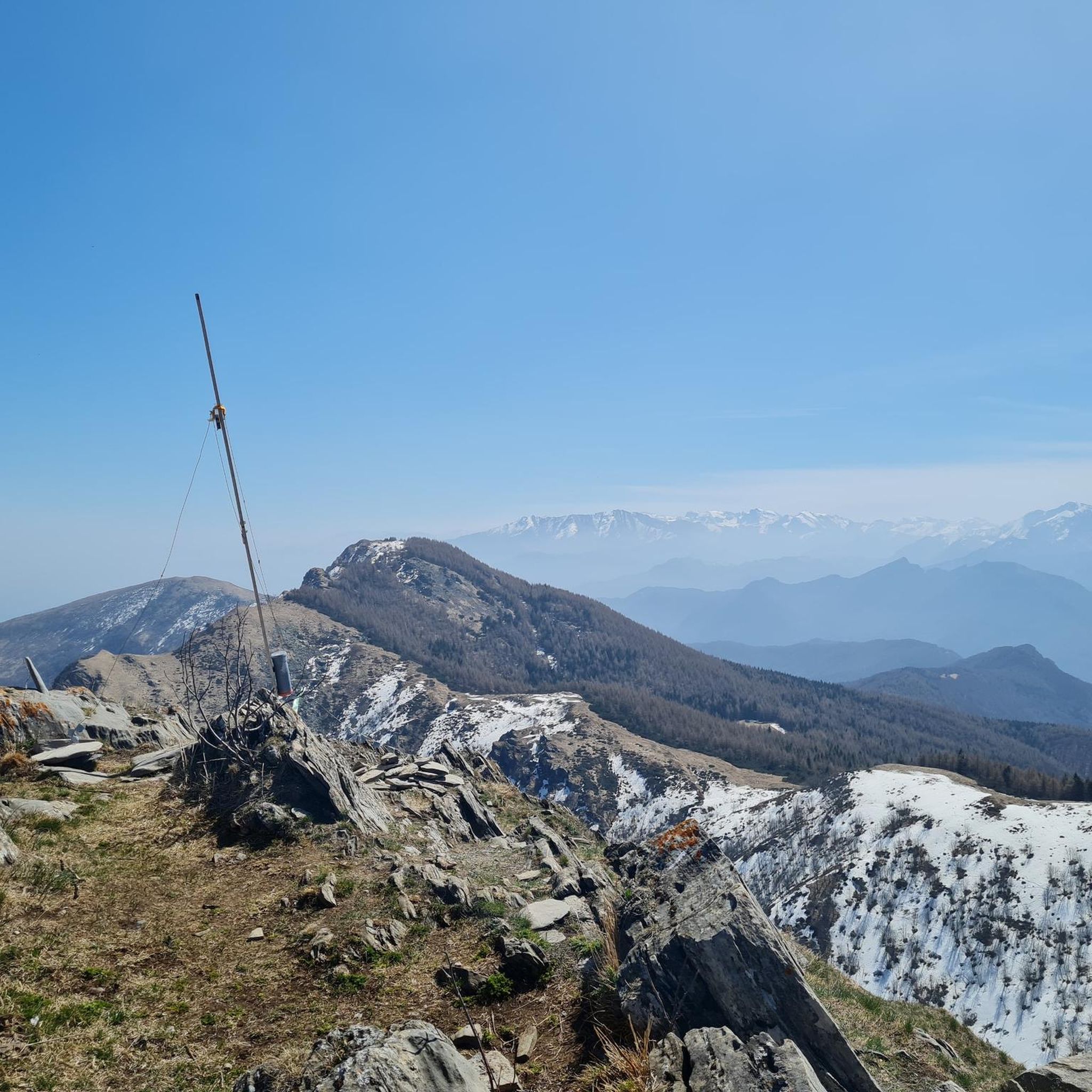
Nice viewpoint with a cross. In the presence of spring snow it is still easy to get here.
1
0

Hill at the confluence between the path that comes from Bernezzo and the dirt road that comes from Chiot Rosa. From here you can easily reach Mount Tamone
1
0

beautiful in all seasons on foot, by bike and on skis.
1
0

Very spacious bivouac. Always open. Dedicated to "Rousset", a gold prospector.
0
0

there is a small fountain, the descent to Monterosso is a mix of stones and roots
0
0
Frequently Asked Questions
How many hiking trails are available around Monterosso Grana?
Monterosso Grana offers a diverse network of over 40 hiking trails, catering to various skill levels. These routes explore the mountainous terrain, ancient chestnut woods, and historic pastures of the Valle Grana.
Are there easy hiking options suitable for beginners or families?
Yes, Monterosso Grana has 9 easy hiking routes perfect for beginners or families. These trails often wind through the valley's charming landscapes and offer a gentle introduction to the area's natural beauty. The Madonna della Neve, San Pietro di Monterosso e le miniere di Quagna – giro ad anello in Valle Grana is a moderate loop that can be enjoyed by those looking for a slightly longer, yet accessible, experience.
What kind of challenging hikes can I find in Monterosso Grana?
For experienced hikers seeking a challenge, Monterosso Grana offers 9 difficult routes. These often involve significant elevation gain and traverse higher alpine environments. An example is the Beccas del Mezzodì and Alpe di Rittana Loop, which leads through mountainous terrain and the scenic Alpe di Rittana.
Are there any circular hiking routes in the area?
Yes, many trails in Monterosso Grana are designed as circular routes, allowing you to start and end at the same point. The Madonna della Neve, San Pietro di Monterosso e le miniere di Quagna – giro ad anello in Valle Grana is a popular moderate loop exploring the Valle Grana.
What are some notable natural features or landmarks to see while hiking?
The region is rich in natural beauty and historical sites. You can explore mountainous peaks like Mount Roccerè, known for its panoramic views and ancient Bronze Age rock carvings. The Alpe di Rittana is another beautiful grassy peak offering extensive vistas. Additionally, the Devil's Bridge of Dronero is a beautiful medieval bridge nearby.
Are there any historical or cultural points of interest along the trails?
Absolutely. The area is steeped in history. You can visit the Sanctuary of San Magno, a 15th-century church at over 1700 meters, offering panoramic views. The Sanctuary of Madonna del Colletto is another significant religious site. The Sentiero del Sarvanot trail also shares local folklore and stories about the area's trees.
What do other hikers enjoy most about hiking in Monterosso Grana?
The hiking experience in Monterosso Grana is highly rated by the komoot community, with an average score of 4.6 stars from over 200 reviews. Hikers often praise the diverse landscapes, from challenging alpine ascents to serene valley walks, and the well-maintained network of trails that connect natural beauty with historical sites.
Is Monterosso Grana suitable for dog-friendly hiking?
Monterosso Grana's varied terrain, including extensive chestnut woods and open pastures, makes it a great destination for hiking with dogs. Many trails offer natural environments for your canine companion to explore, but always ensure your dog is on a leash where required and respect local wildlife and livestock.
What is the best time of year to go hiking in Monterosso Grana?
The best time to hike in Monterosso Grana is generally from late spring through early autumn (May to October). During these months, the weather is milder, and the trails are more accessible. Summer brings lush pastures and vibrant flora, while autumn offers stunning foliage in the chestnut woods. Higher altitude trails are best enjoyed in summer when snow has melted.
Are there any facilities or places to rest along the hiking routes?
While specific cafes directly on every trail might be limited, many routes pass through or near villages where you can find amenities. The region is known for its local produce, especially Castelmagno PDO cheese, so look for opportunities to experience local flavors. The Chiot Rosa Equipped Area is one facility point you might encounter.
How long do hikes typically take in Monterosso Grana?
Hike durations vary significantly based on the trail's length and difficulty. Easy routes might take a couple of hours, while moderate trails like the Mountain trail to Bivacco Rousset can take around 4 hours. More challenging routes, such as the Rocca Pergo Piccola – Valle Grana, can extend to 7 hours or more.
Can I access hiking trails in Monterosso Grana using public transport?
While public transport options might be limited directly to all trailheads, the main villages in Valle Grana, including Monterosso Grana, are typically served by local bus lines. It's advisable to check local bus schedules in advance to plan your access to specific starting points for your hikes.
Most popular routes around Monterosso Grana
Most popular attractions around Monterosso Grana

Get inspired with the komoot mobile app


Explore more
Browse the best Hikes in other regions.
