The best running trails around Roccasparvera
4.5
(267)
7,230
runners
10
runs
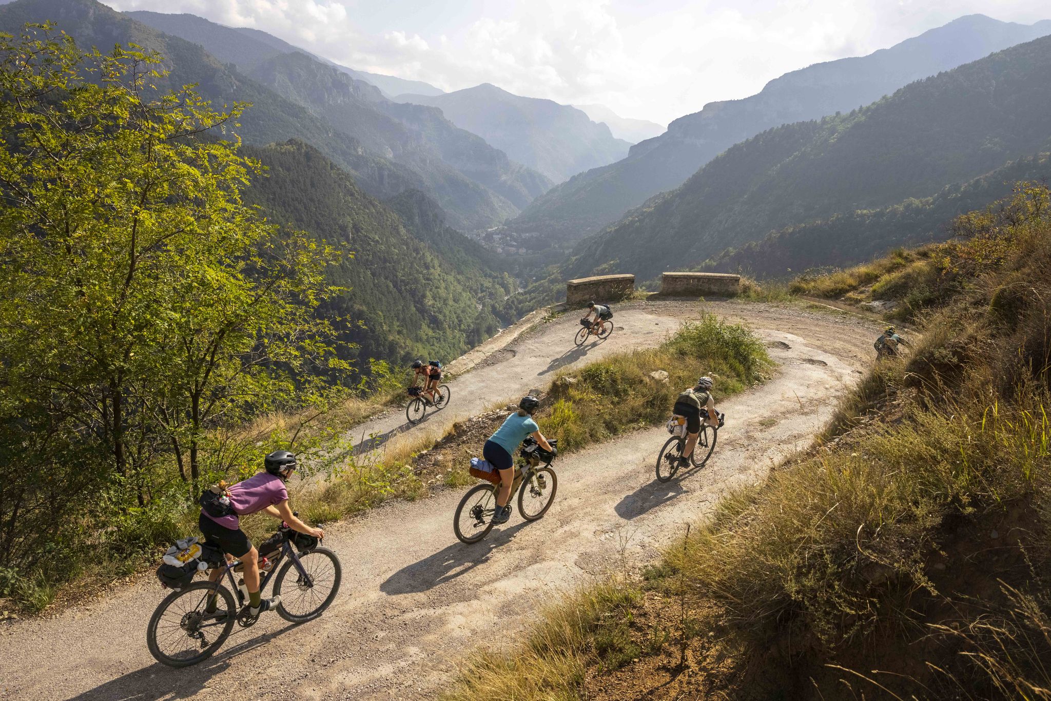
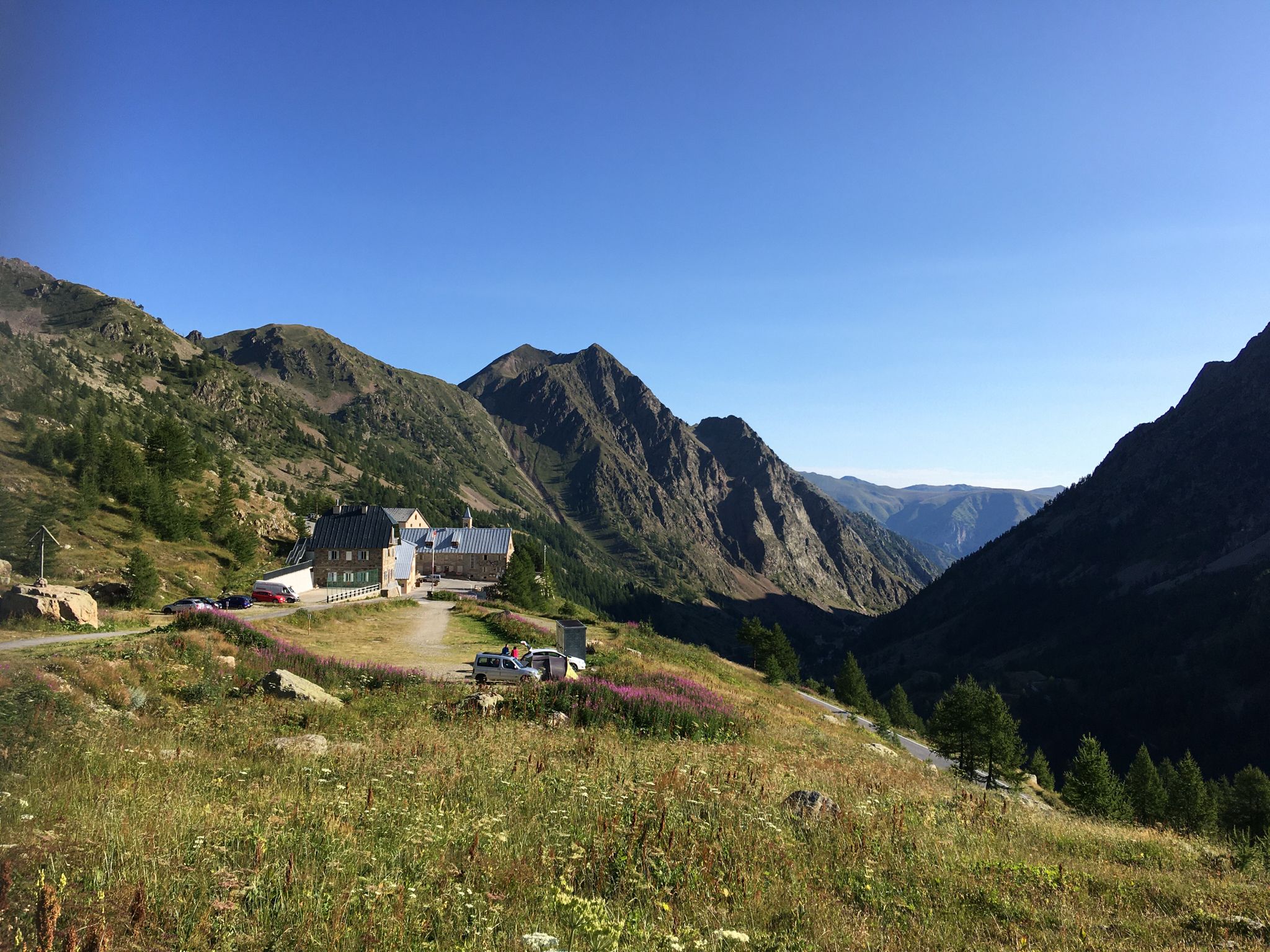
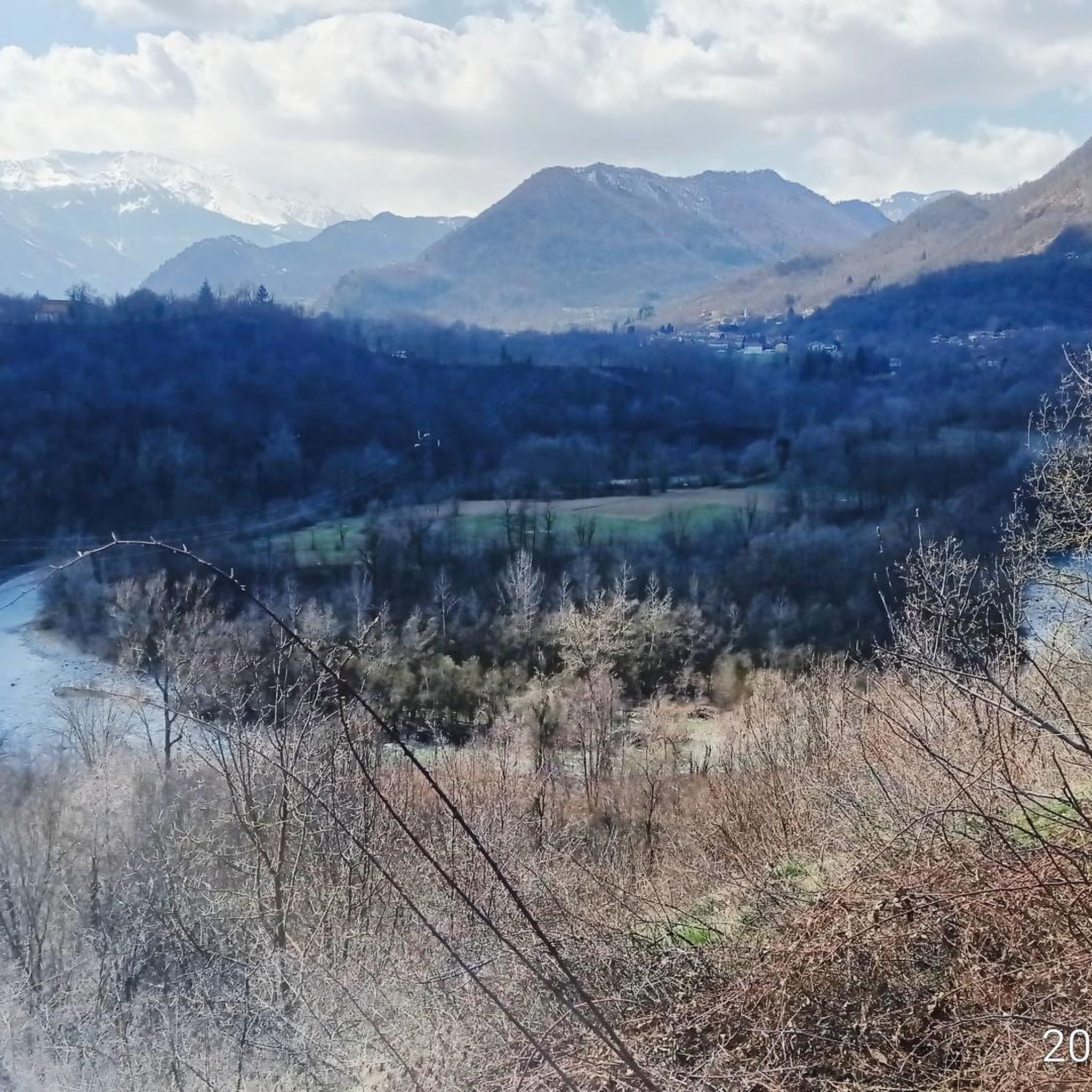
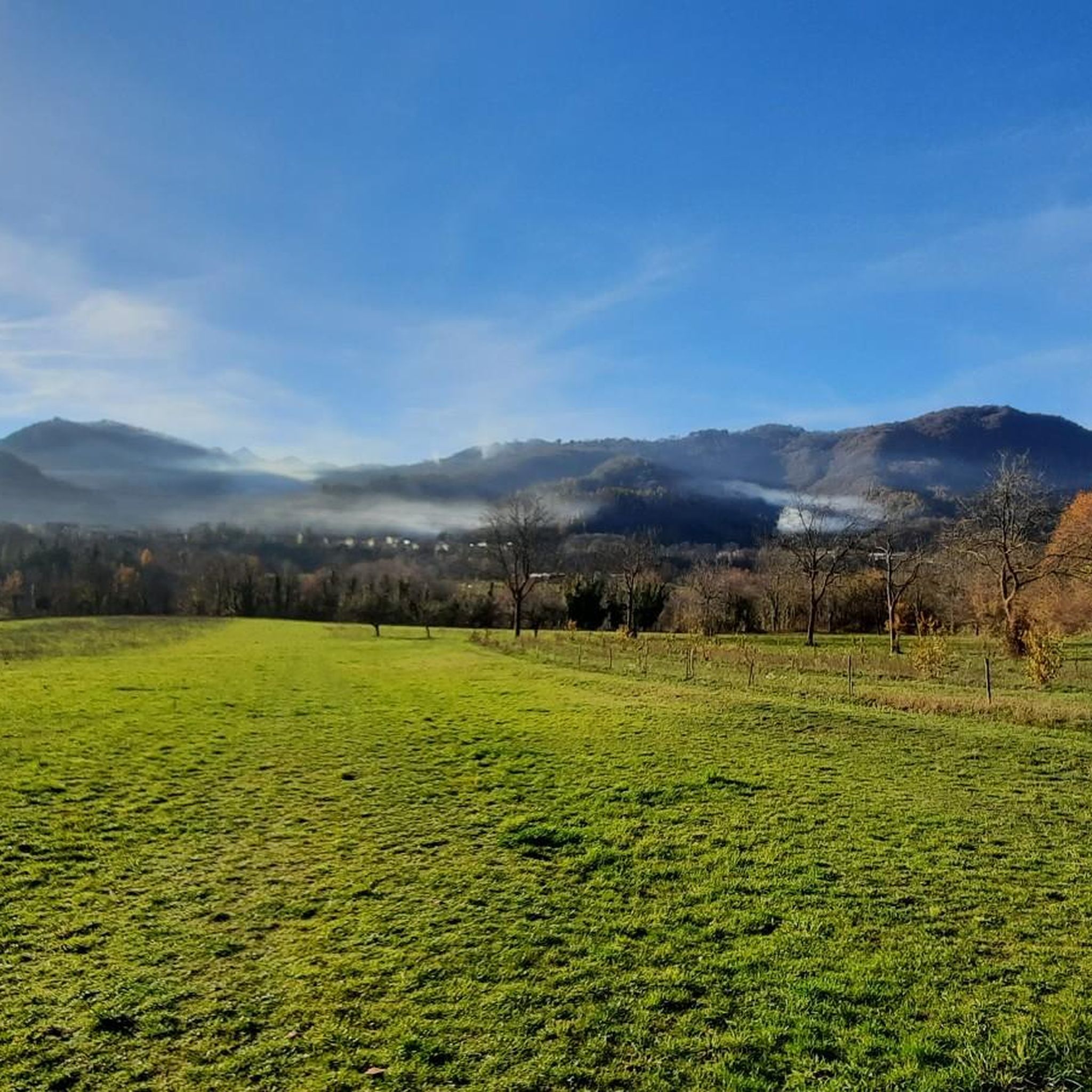
Jogging around Roccasparvera offers diverse terrain within Italy's Stura Valley. The region features a mix of towering mountains, dense forests, and verdant pastures, providing varied running experiences. The Stura River flows through the valley, offering scenic and often flatter routes along its banks. Elevation changes significantly across the area, from approximately 600 meters in lower sections to over 3,000 meters at its peaks, accommodating different fitness levels.
Best jogging routes around Roccasparvera
- The most popular jogging route is Cima Saben…
Last updated: October 2, 2026
20
runners
7.62km
01:07
370m
370m
Hard run. Very good fitness required. Mostly paved surfaces. Suitable for all skill levels.
14
runners
12.4km
01:21
160m
160m
Moderate run. Good fitness required. Mostly paved surfaces. Suitable for all skill levels.

17
runners
7.26km
00:47
120m
120m
Moderate run. Good fitness required. Mostly paved surfaces. Suitable for all skill levels.
9
runners
10.7km
01:37
550m
540m
Hard run. Very good fitness required. Mostly paved surfaces. Suitable for all skill levels.
12
runners
7.75km
01:01
270m
270m
Moderate run. Good fitness required. Mostly paved surfaces. Suitable for all skill levels.
Get access to more routes and recommendations from other explorers.
Already have an account?
Our route recommendations are based on thousands of hikes, rides, and runs completed by other people on komoot.
Start today with a free account
Your next adventure awaits.



Tips from the Community

Cycle-pedestrian road, very pleasant to cycle on as an alternative to the main road. It rightly passes through the woods, which often obstruct the view.
1
0


I recommend an easy tour, especially for children. Also go down into the tunnel, next to it there is a red mushroom, when you press it the lights turn on 👌👍
1
0

Remains of an ancient castle, reachable by paths and positioned above the town of Roccasparvera
1
0

Porta Bolleris, or Boulera, is what remains of the majesty of the medieval village of Roccasparvera. Right under its arch, for centuries, goods and people have passed to and from nearby France. Of the Castle now nothing remains, destroyed by time and by countless border wars.
1
0
Roccasparvera, above it there is what remains of the castle, look for it, there is a beautiful view
1
0
Roccasparvera has been an important lookout at the entrance to the valley for centuries. In medieval times, its village included four fortresses with high walls with watchtowers and a bridge that allowed entry to the town. Traces of these structures remain in the Porta Bolleris or Bourela, an ancient tower built in the 15th century through which goods and men passed to and from France and which was occasionally used as a residence for the Bolleris family, from which the tower takes its name. The gate extends just outside the walls of the town in the direction of the upper valley. Next to the ruins of this ancient fortification, there is a dense network of underground tunnels that opened escape routes and water supplies in the event of a siege or danger. Some paths lead to the ruins where the stone walls have been cleaned, allowing us to reconstruct the plan and imagine what they looked like.
0
0
Towards the summer of July and August, at the end of the descent it is likely to find a chain with a deviation to the right (deviation due to the owner of the house, who sees a rider falling in a rush), so when he goes on holiday he puts the chain and deviation to the right, then in the others periods, the classic exit on the left
1
0
Frequently Asked Questions
How many running routes are available around Roccasparvera?
There are over 380 running routes in the Roccasparvera area, catering to various fitness levels. This includes approximately 30 easy routes, over 200 moderate options, and more than 140 challenging trails for experienced runners.
What kind of terrain can I expect on jogging trails in Roccasparvera?
Jogging in Roccasparvera offers a diverse range of terrains within the Stura Valley. You'll find a mix of towering mountains, dense forests, and verdant pastures. Many routes follow the scenic Stura River, providing flatter sections, while others ascend ridges and through woodlands, offering varied experiences from gentle runs to demanding excursions.
Are there running routes suitable for beginners or those seeking an easier run?
Yes, Roccasparvera offers several accessible running options. For a more accessible run with minimal elevation changes, consider the Running loop from Roccasparvera, which is a moderate 3.7-mile (6.0 km) path ideal for a steady pace. There are approximately 30 easy routes available in the region.
What are the elevation changes like on running trails in the Roccasparvera area?
The elevation across the Stura Valley varies significantly, from approximately 600 meters in the lower areas to over 3,000 meters at its peaks. This means you can find routes with minimal gain, like the Running loop from Roccasparvera (around 59 meters), or more challenging climbs such as the Cima Saben loop from Beguda, which features over 600 meters of elevation gain.
What historical landmarks or points of interest can I see along running routes in Roccasparvera?
Many running routes in Roccasparvera integrate historical sites. For instance, the Ruins of Castello Bolleris loop from Roccasparvera takes you past the remnants of the 11th-century Bolleris Castle and the imposing Porta Bolleris. The Madonna della Losa Chapel – Tetto Giordano loop from Vignolo also offers historical insights. Additionally, the region's history is woven into trails like the Monte Colletto and Madonna degli Alpini Loop, which passes near the Santuario di San Maurizio and Madonna degli Alpini.
Are there any natural attractions or scenic viewpoints along the jogging trails?
Absolutely! The Stura Valley is rich in natural beauty. Jogging alongside the Stura River offers picturesque views, and the Diga di Roccasparvera is a notable spot with beautiful vistas of the river, a bridge, and surrounding rock formations. Trails like the Monte Colletto and Madonna degli Alpini Loop provide panoramic views, especially near the Santuario di San Maurizio. You can also explore natural features like the Riserva Naturale delle Grotte del Bandito or the Dragonera Spring.
What do other runners enjoy the most about jogging in Roccasparvera?
The running routes in Roccasparvera are highly rated by the komoot community, with an average score of 4.5 stars from over 200 reviews. Runners often praise the diverse terrain, from river valleys to forested slopes, and the integration of historical landmarks. The extensive network of trails ensures there's something for every ability level, making it a popular destination for outdoor enthusiasts.
Are there any circular running routes available?
Yes, many of the running routes in Roccasparvera are circular, allowing you to start and end at the same point. Examples include the popular Cima Saben loop from Beguda, the Running loop from Roccasparvera, and the Ruins of Castello Bolleris loop from Roccasparvera. These loops offer convenient ways to explore the region's landscapes and attractions.
Can I find long-distance running trails near Roccasparvera?
For those seeking longer distances, Roccasparvera and the surrounding Stura Valley offer several options. The Cima Saben loop from Tetto Pilone is a challenging 17.2 km (10.7 miles) route with significant elevation gain. The La Routo Trail, though more demanding, covers 21.5 km (13.4 miles) through historical landscapes, providing a substantial challenge for long-distance runners.
What is the best time of year for jogging in Roccasparvera?
The diverse topography of the Stura Valley ensures year-round opportunities for outdoor activities. While summer offers mild mountain temperatures, making it ideal for higher elevation runs, snow-cleared paths can be explored in winter. Spring and autumn provide pleasant conditions with vibrant foliage or blooming flora, making them excellent seasons for jogging across various terrains.
Are there any caves or mountain passes I can explore near the running trails?
Yes, the region around Roccasparvera features interesting natural formations. You can find several caves, such as the Grotte del Bandito and The Dragon's Breath Cave Entrance. For those interested in mountain passes, highlights include Colle Le Funse (1230 m) and the Sanctuary of Madonna del Colletto, which is located near a pass.
Most popular routes around Roccasparvera
Most popular attractions around Roccasparvera

Get inspired with the komoot mobile app


Explore more
Browse the best Running Trails & Routes in other regions.
