The best walks and hikes around Montaldo Di Mondovì
4.5
(1253)
6,741
hikers
337
hikes
Hiking around Montaldo Di Mondovì offers access to the varied terrain of the Piedmont region, characterized by rolling hills, forested slopes, and elevated viewpoints. The landscape includes features such as Monte Alpet and Bric Vernaglio, providing diverse environments for outdoor exploration. Trails often traverse woodlands and open areas, with elevations suitable for various hiking abilities. This area provides a network of paths through natural settings.
Best hiking trails around Montaldo Di Mondovì
- The most popular hiking route is Monte Alpet…
Last updated: October 10, 2026
3.7
(3)
7
hikers
6.00km
02:18
400m
400m
Moderate hike. Good fitness required. Mostly accessible paths. Sure-footedness required.
5.0
(5)
12
hikers
9.85km
03:32
590m
590m
Moderate hike. Good fitness required. Mostly accessible paths. Sure-footedness required.

4.0
(1)
8
hikers
6.23km
01:57
260m
260m
Easy hike. Great for any fitness level. Easily-accessible paths. Suitable for all skill levels.
17.1km
05:09
370m
370m
Hard hike. Very good fitness required. Mostly accessible paths. Sure-footedness required.
4.5
(13)
36
hikers
Moderate hike. Good fitness required. Easily-accessible paths. Suitable for all skill levels.
Get access to more routes and recommendations from other explorers.
Already have an account?
Our route recommendations are based on thousands of hikes, rides, and runs completed by other people on komoot.
Start today with a free account
Your next adventure awaits.
Tips from the Community

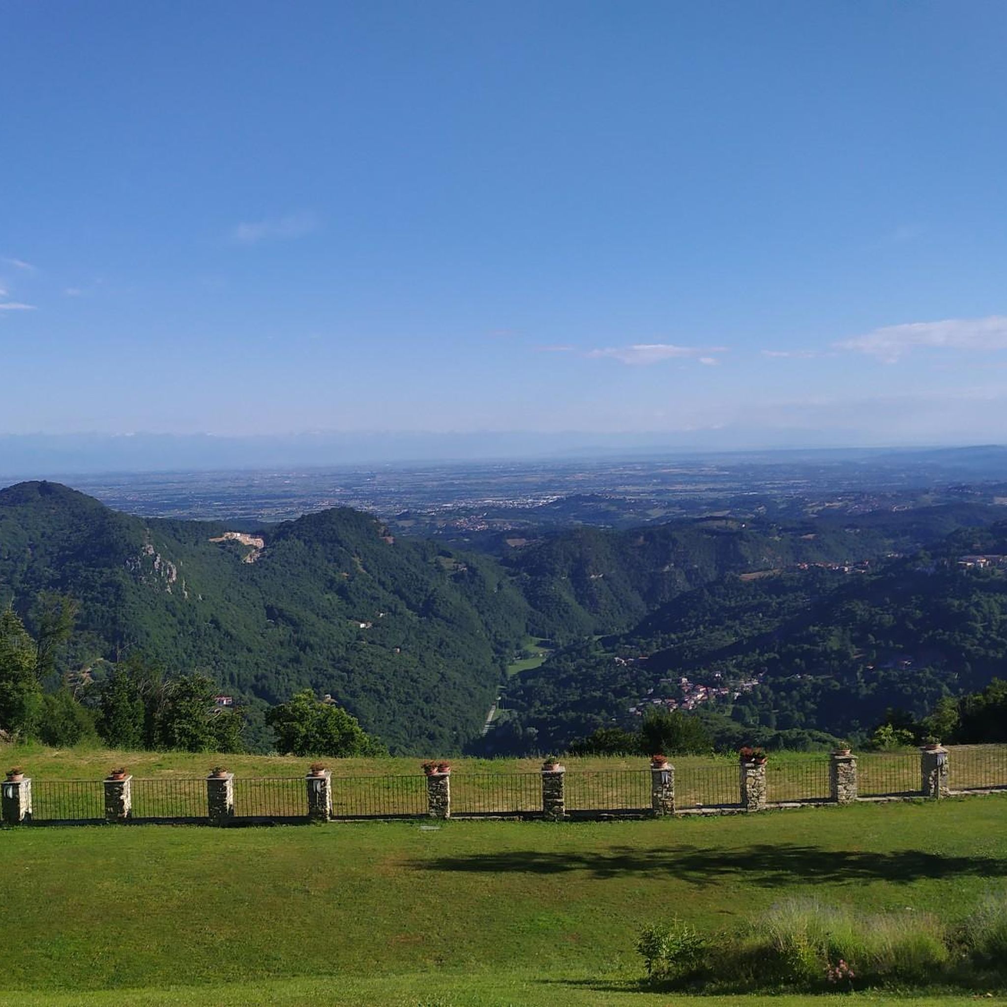
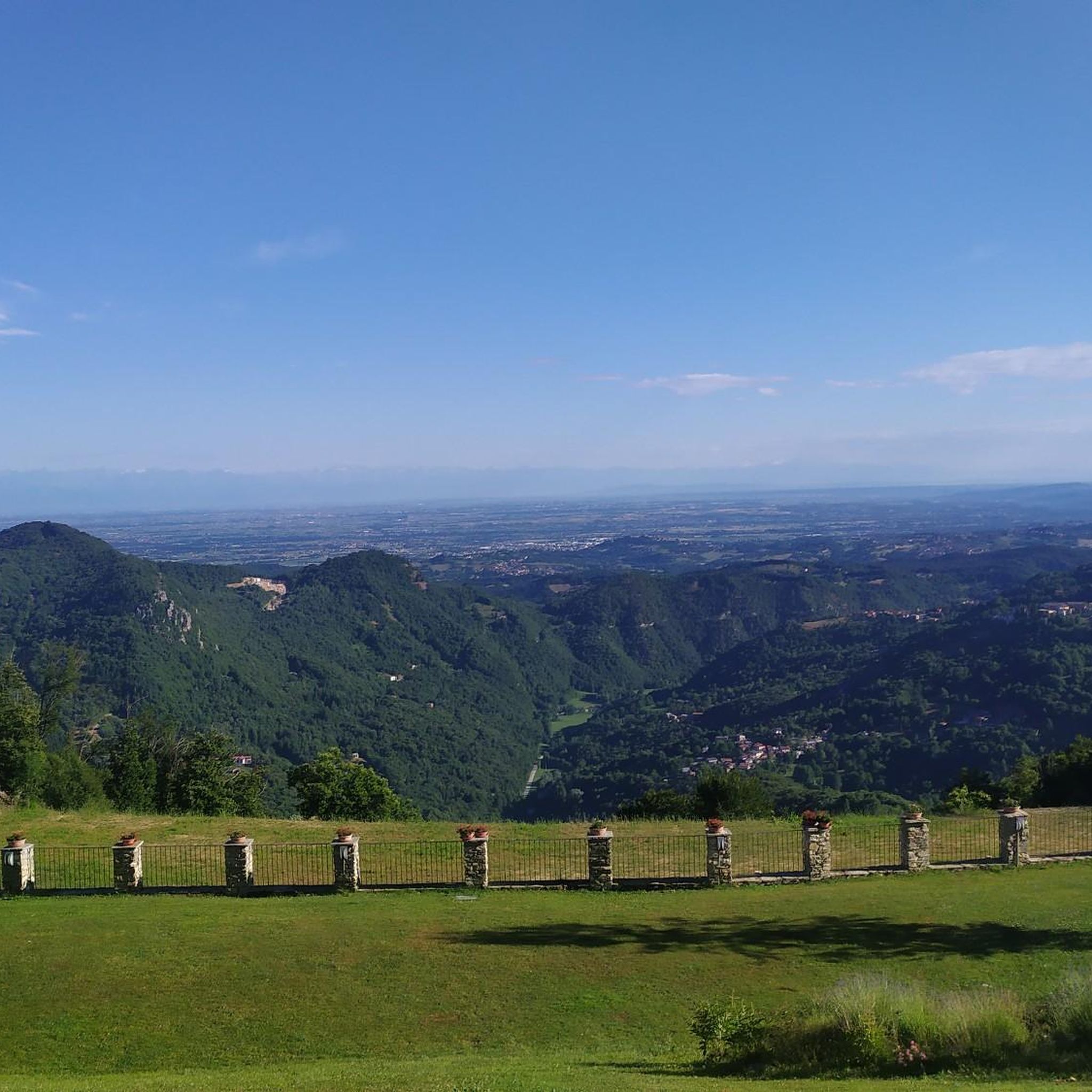
In summer, a beautiful lawn with shaded areas and a dedicated space for barbecues
0
0

Pilone di San Bernardo (1373 m), in addition to a splendid panorama over the entire Alpine range, is a crossroads of various paths. In fact, from here we can reach Vernagli, Prà, Croce Cardini and Monte Alpet with the possibility of connecting the different destinations in circular routes.
0
0

At the point indicated I should have turned right to go down a path traced on the app but not identified on the spot. Going up from Vernagli the road is almost entirely cordoned off, probably by the owners, so we turned back.
0
0
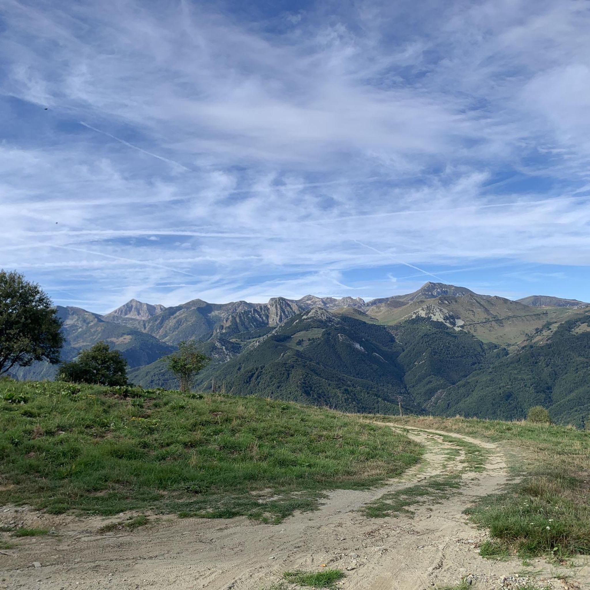
Mount Alpet, at an altitude of 1,611 m, can be reached by various paths in the summer, while in the winter it is a ski resort.
3
0
Viewpoint and crossroads for various routes including access to Mount Alpet. It can be easily reached with a short walk from the Croce dei Cardini via a path suitable for everyone.
0
0

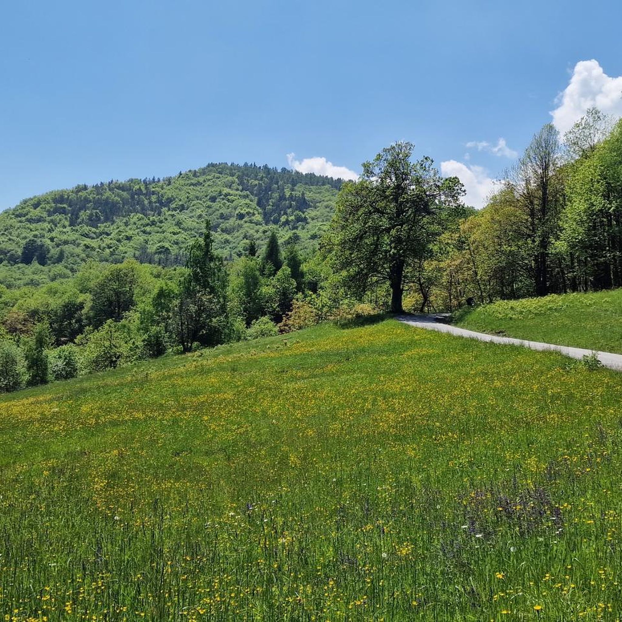
A beautiful path surrounded by beautiful trees that will lead you to the Maddalena Refuge.
2
0

At its foot lies the ski area of San Giacomo di Roburent-Cardini, you can enjoy an excellent view of the Cuneo plain with the Alps behind it.
2
0

Water point with drinking water well
0
0
Frequently Asked Questions
How many hiking trails are available around Montaldo Di Mondovì?
There are over 300 hiking routes in the Montaldo Di Mondovì area, catering to various skill levels. This includes more than 60 easy trails, nearly 190 moderate routes, and close to 60 difficult options for experienced hikers.
Are there any easy hiking trails suitable for beginners or families?
Yes, Montaldo Di Mondovì offers several easy trails. One popular option is the Bric Vernaglio to Pilone di San Bernardo Trail, which is about 6.2 km long and takes less than 2 hours to complete, leading through forested areas and open hillsides.
What kind of views can I expect on hikes in Montaldo Di Mondovì?
The region is known for its varied terrain, offering rolling hills, dense forests, and elevated viewpoints. Many trails provide panoramic vistas of the surrounding Piedmont landscape, especially from peaks like Monte Alpet. You can experience these views on routes such as the Monte Alpet and Via dei Cannoni Loop.
Are there any circular walks in the Montaldo Di Mondovì area?
Yes, several circular walks are available. A notable example is the Monte Alpet and Via dei Cannoni Loop, which offers a complete circuit and panoramic views. Another option is the Monte Alpet Summit Cross – View of Bric Colmé loop from Roburent.
What are some interesting natural attractions or landmarks to see while hiking?
The area boasts several natural highlights. You can explore mountain peaks like Mount Antoroto or visit the serene Lago della Brignola. For a unique experience, consider the Piedmont hike to Grotta di Bossea caves, which leads to impressive cave systems.
What do other hikers enjoy most about hiking in Montaldo Di Mondovì?
The hiking trails in Montaldo Di Mondovì are highly rated by the komoot community, with an average score of 4.5 stars from nearly 1,000 reviews. Hikers often praise the diverse terrain, the well-maintained paths, and the rewarding views from elevated points like Monte Alpet.
Are there any challenging hikes for experienced trekkers?
Yes, for those seeking a challenge, there are nearly 60 difficult routes. The Piedmont hike to Grotta di Bossea caves is a difficult 17.1 km trail that takes over 5 hours to complete, offering a substantial adventure.
Can I find any mountain huts or refuges along the trails?
Yes, the region has several huts and refuges that can serve as resting points or destinations. Notable options include the Balma Hut, Rifugio Maddalena, and Chalet Il Rosso.
What is the typical duration for a moderate hike in this area?
Moderate hikes in Montaldo Di Mondovì vary in duration. For example, the Monte Alpet Summit Trail via D04 from San Giacomo di Roburent is a moderate 9.8 km path that typically takes around 3 hours 30 minutes to complete, ascending to the summit with expansive vistas.
What kind of terrain will I encounter on the trails?
The trails around Montaldo Di Mondovì feature a mix of terrain, including rolling hills, dense woodlands, and open areas. You'll often find paths traversing forested slopes and leading to elevated viewpoints, characteristic of the Piedmont region.
Are there any hikes that lead to prominent peaks or summits?
Absolutely. Many trails in the area lead to significant peaks. For instance, the Monte Alpet Summit Trail via D04 from San Giacomo di Roburent takes you directly to the summit of Monte Alpet, offering extensive views. Other notable peaks in the vicinity include Monte Mondolè and Bric Mindino.
Most popular routes around Montaldo Di Mondovì
Most popular attractions around Montaldo Di Mondovì

Get inspired with the komoot mobile app


Explore more
Browse the best Hikes in other regions.
