The best walks and hikes around Rocchetta Di Vara
4.5
(151)
505
hikers
19
hikes
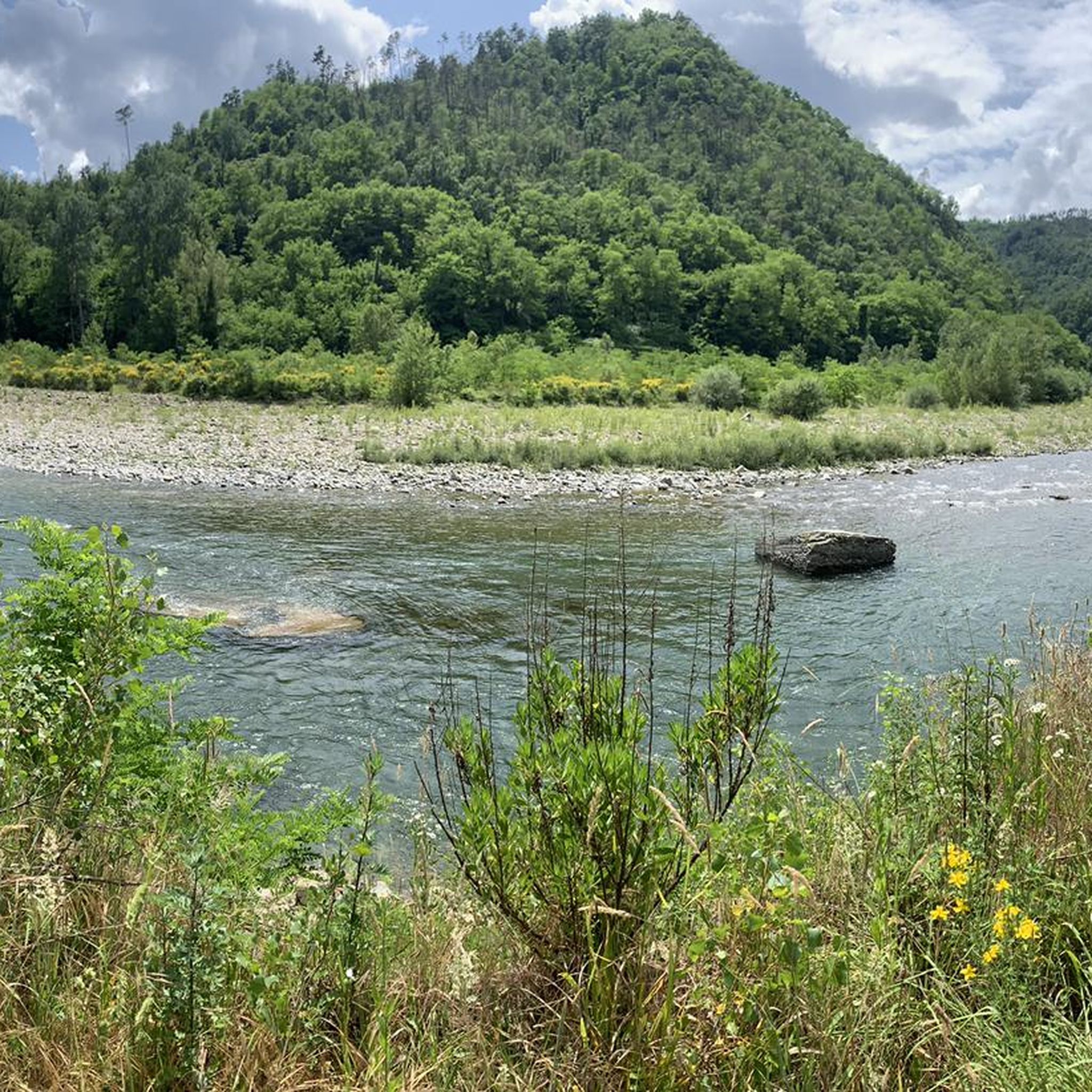
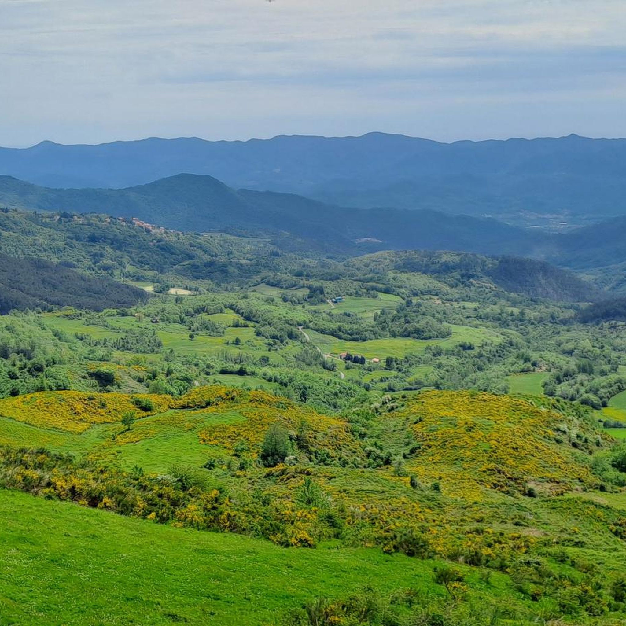
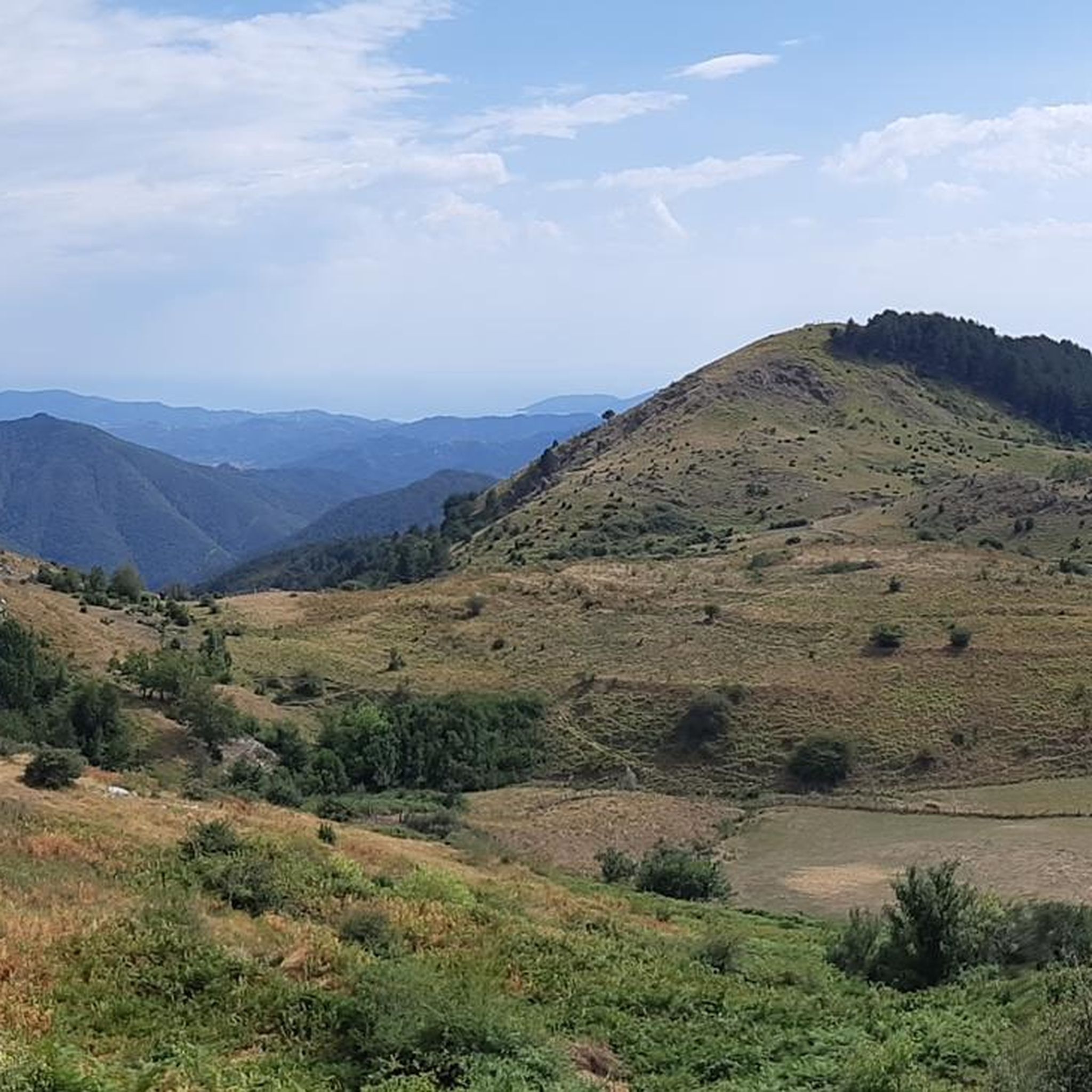
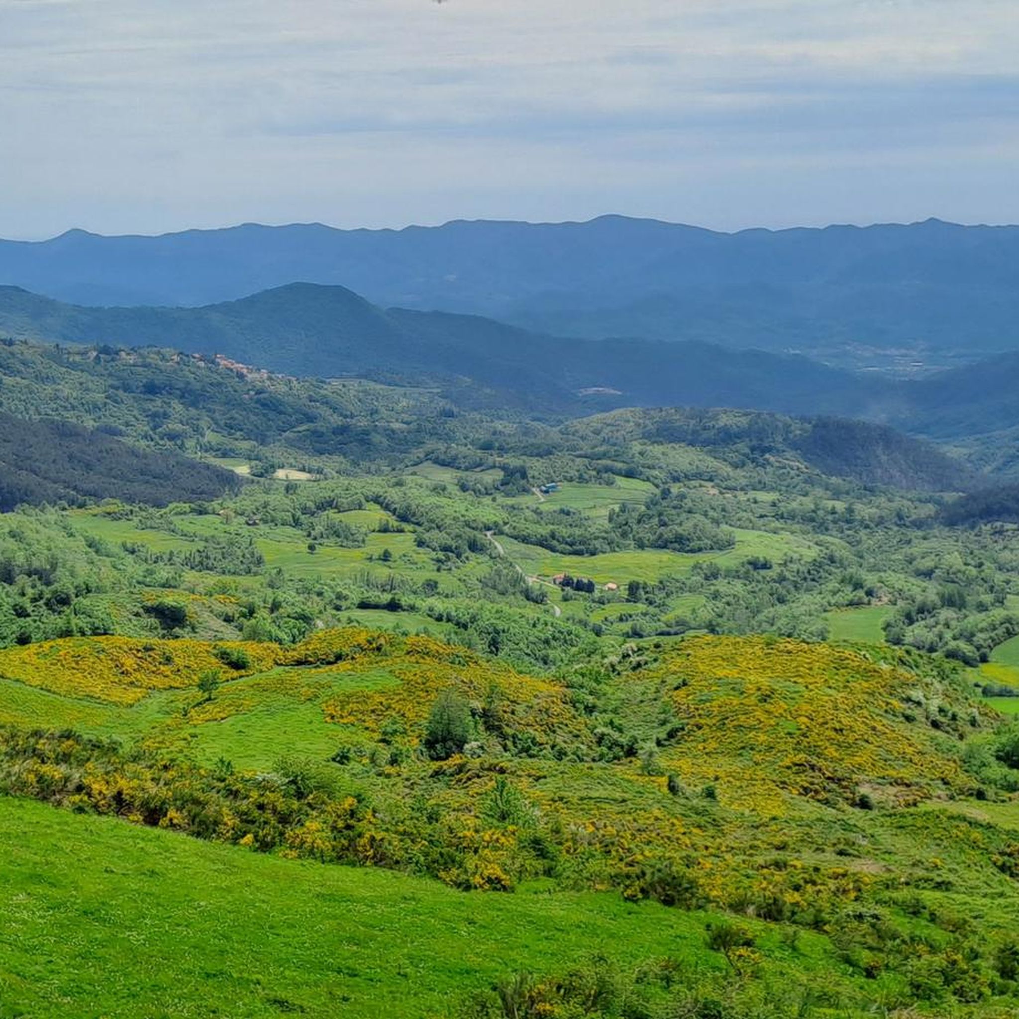
Hiking around Rocchetta Di Vara offers diverse landscapes within the Val di Vara in Liguria, Italy. The region features mountainous terrain with wide ridges, mixed deciduous forests, and grasslands. Trails traverse valleys and ascend towards viewpoints, occasionally offering glimpses of the Apuan Alps. The area is characterized by its natural features and an extensive network of hiking trails.
Best hiking trails around Rocchetta Di Vara
- The most popular hiking route is Alta Via dei Monti Liguri, from Passo del Rastrello…
Last updated: October 10, 2026
4.1
(7)
26
hikers
19.1km
05:28
460m
460m
Hard hike. Very good fitness required. Easily-accessible paths. Suitable for all skill levels.
12
hikers
13.2km
03:46
310m
310m
Moderate hike. Good fitness required. Mostly accessible paths. Sure-footedness required.

5.0
(1)
4
hikers
25.5km
07:20
600m
600m
Hard hike. Very good fitness required. Easily-accessible paths. Suitable for all skill levels.
1
hikers
12.1km
03:43
400m
400m
Moderate hike. Good fitness required. Easily-accessible paths. Suitable for all skill levels.
1
hikers
15.9km
05:13
750m
750m
Hard hike. Very good fitness required. Easily-accessible paths. Suitable for all skill levels.
Get access to more routes and recommendations from other explorers.
Already have an account?
Our route recommendations are based on thousands of hikes, rides, and runs completed by other people on komoot.
Start today with a free account
Your next adventure awaits.

Other adventures around Rocchetta Di Vara

Tips from the Community

The oratory, located at the entrance to the village, dedicated to Santa Maria Annunziata, is today known as the Oratory of San Bernardo. Its current name derives from the Compagnia dei disciplinati, which, already in existence in 1518 and dedicated to "Santa Maria," was dedicated to San Bernardo starting in 1610. It is currently home to the Confraternity of San Bernardo. The oratory likely arose during the abbey era as a place of prayer for wayfarers hosted in the nearby hospice for pilgrims dedicated to Sant'Antonio, formerly located on the top floor of the adjacent house. (c) https://comune.brugnato.sp.it/vivere-il-comune/luoghi/oratorio-di-san-bernardo/
0
0
This column, dedicated to the Immaculate Conception of Mary, is located in Piazza Alcide de Gasperi.
0
0
The street's common name is "Caruggettu," similar to the alleyways that populate Genoa's historic center. (c) https://www.toltedalcassetto.it/images/val_di_vara/Brugnato_Via_dell-Olivo_Caruggettu.html
0
0
The Church of Saints Peter, Lawrence, and Columbanus was rebuilt in Romanesque style after being elevated to a cathedral in 1133. The interior and apse were restored to their 12th-century appearance during restoration work carried out in the 1950s, which preserved the late Baroque façade. (c) https://srvcarto.regione.liguria.it/geoservices/apps/viewer/pages/apps/cultura/?LUOGO=28899
0
0
Central square of Brugnato, named after local partisan leader Vittorio Brosini, who was executed by German troops at the age of 24.
0
0

The spring is hidden, located under a shrine. The water is delicious and fresh.
0
0

Ideal spot for a night bivouac. Near a small spring suitable for washing your face
0
0
Ideal point for a stopover or for a night bivouac
0
0
Frequently Asked Questions
What types of hiking trails can I expect around Rocchetta Di Vara?
Rocchetta Di Vara, nestled in the Val di Vara, offers a diverse network of trails. You'll find everything from comfortable dirt roads and gentle ascents to more challenging mountain paths. The landscape features wide ridges between the Val di Vara and Val Magra, mixed deciduous forests, and open grasslands. Trails vary in difficulty, catering to both beginners and experienced hikers.
Are there any easy hiking routes suitable for beginners in Rocchetta Di Vara?
Yes, Rocchetta Di Vara offers a few easy hiking options. While many routes are moderate or difficult, there are at least 2 easy trails available, perfect for those new to hiking or looking for a relaxed walk. These routes allow you to enjoy the natural beauty of the Val di Vara without significant challenge.
What are some notable natural features or landmarks to look for on hikes in the region?
The region is rich in natural beauty and historical sites. You can discover the tranquil Termine Pass offering scenic views, or explore the Monte Albereto summit. The area is also known for the Cascate dell'Acqua Bianca (White Waterfalls) and magnificent pine forests near Suvero. Keep an eye out for glimpses of the Apuan Alps from higher elevations.
What do other hikers enjoy most about hiking in Rocchetta Di Vara?
The komoot community highly rates the hiking experience in Rocchetta Di Vara, with an average score of 4.5 stars from over 100 reviews. Hikers often praise the diverse landscapes, from mountainous terrain to mixed forests, and the extensive network of trails that cater to various skill levels. Many appreciate the opportunity to explore nature and remote hamlets along routes like the Alta Via dei Monti Liguri.
Are there any long-distance or multi-day hiking opportunities in Rocchetta Di Vara?
Yes, Rocchetta Di Vara is a key part of the Val di Vara hiking network, which includes segments of the renowned Alta Via dei Monti Liguri. This long-distance trail offers kilometers of paths at around 1,000 meters altitude, connecting different Ligurian landscapes. For example, the difficult route Alta Via dei Monti Liguri, from Passo del Rastrello to Passo dei Casoni is nearly 20 km long, and the Via Marchesana to Passo dei Casoni is over 25 km, indicating options for longer treks.
Can I find circular hiking routes in the Rocchetta Di Vara area?
While specific circular routes are not detailed, the extensive network of trails, including segments of the Alta Via dei Monti Liguri, provides ample opportunities to combine paths for circular walks. Many routes traverse varied landscapes, allowing for diverse loop options if planned carefully.
What kind of views can I expect on the hiking trails?
Hikers in Rocchetta Di Vara can expect breathtaking views. Popular routes, such as those leading to Monte Gottero, offer panoramic vistas over the valley below. Other viewpoints, like the ridge of the Vignola hill of Campiglio, provide scenic outlooks over the village and the Panaro valley. As you ascend, you may also catch glimpses of the distant Apuan Alps.
Are there any historical or cultural sites to explore while hiking?
Beyond natural beauty, Rocchetta Di Vara offers a blend of history and culture. You can explore the narrow streets of its historic center, admire ancient architecture, and discover the village's secrets. Nearby Suvero features a castle and the Church of San Giovanni. Ancient ruins, such as towers and turrets above Cassana, also add to the historical intrigue of the area.
What is the best season for hiking in Rocchetta Di Vara?
The Val di Vara region is generally pleasant for hiking across multiple seasons. Spring and autumn offer mild temperatures and vibrant natural colors, making them ideal. Summer can be warm, but higher altitude trails or shaded forest paths provide relief. Winter hiking is possible, but conditions can vary, especially at higher elevations, so checking local weather is advisable.
Are there any trails that pass by water features like waterfalls or rivers?
Yes, the region features notable water elements. The Cascate dell'Acqua Bianca (White Waterfalls) offer a tranquil spot to relax. Additionally, the Magra river plays a significant role in the landscape, with some itineraries winding along its banks, providing views of its natural beauty.
How many hiking trails are available around Rocchetta Di Vara?
There are over 20 hiking trails available around Rocchetta Di Vara, offering a wide range of options for different skill levels and preferences. These include 2 easy routes, 13 moderate routes, and 5 difficult routes, ensuring there's something for everyone.
What are some moderate hiking options in the area?
For those seeking a moderate challenge, routes like Alta Via dei Monti Liguri from Passo dei Casoni to Passo Alpicella offer varied terrain and scenic views over approximately 13.2 km. Another moderate option is the Brugnato to Madonna dell'Olivo Sanctuary trail, covering about 12.1 km.
Most popular routes around Rocchetta Di Vara
Most popular attractions around Rocchetta Di Vara

Get inspired with the komoot mobile app


Explore more
Browse the best Hikes in other regions.
