The best road cycling routes around Minucciano
4.4
(124)
2,364
riders
23
rides
Road cycling routes around Minucciano are characterized by the diverse terrain of Italy's Garfagnana region, set against the backdrop of the Apuan Alps. The area features challenging mountain passes, scenic lakes, and winding roads through hills and medieval villages. Cyclists encounter significant elevation changes, with routes traversing ancient forests and offering views across the landscape. The region's paved roads provide varied surfaces for road cycling.
Best road cycling routes around Minucciano
- The most popular road cycling route is Cerreto and…
Last updated: October 10, 2026
54
riders
107km
06:41
3,040m
3,030m
Hard road ride. Very good fitness required. Mostly well-paved surfaces and easy to ride.
36
riders
67.8km
04:12
1,880m
1,880m
Hard road ride. Very good fitness required. Some segments of this route may be unpaved and difficult to ride.

7
riders
24.5km
01:40
690m
690m
Moderate road ride. Good fitness required. Mostly well-paved surfaces and easy to ride.
4.3
(8)
82
riders
36.6km
02:13
910m
910m
Hard road ride. Very good fitness required. Some segments of this route may be unpaved and difficult to ride.
4.1
(10)
105
riders
49.9km
02:33
840m
840m
Moderate road ride. Good fitness required. Mostly well-paved surfaces and easy to ride.
Get access to more routes and recommendations from other explorers.
Already have an account?
Our route recommendations are based on thousands of hikes, rides, and runs completed by other people on komoot.
Start today with a free account
Your next adventure awaits.
Tips from the Community

It is the crossroads between the regional road 445 of Garfagnana and the provincial road that descends from Careggine and Vagli. An important nodal point of Garfagnana.
0
0

The Passo del Cerreto is an important pass in the Tuscan-Emilian Apennines, located at an altitude of 1,261 meters. It separates Tuscany from Emilia-Romagna, connecting the province of Massa-Carrara (municipality of Fivizzano) with that of Reggio Emilia (municipality of Ventasso). The pass is entirely crossed by the State Road 63 (SS 63).
0
0

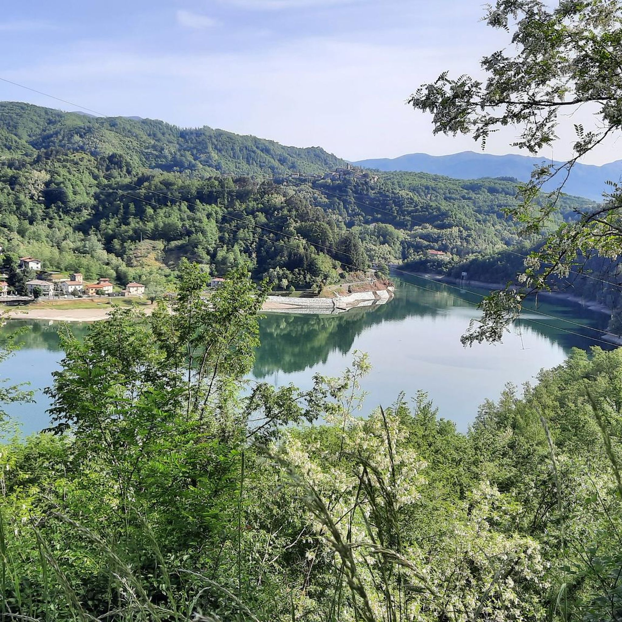
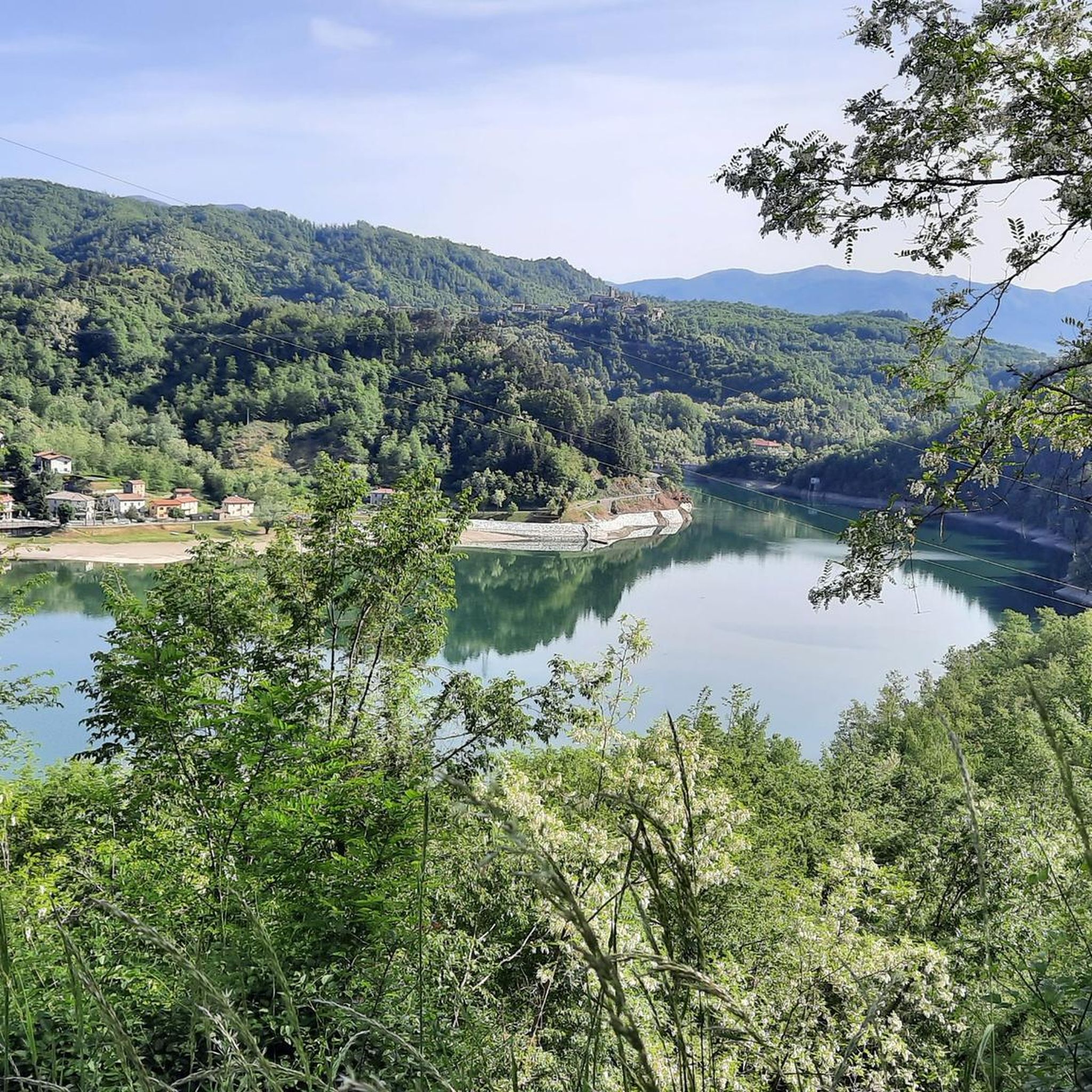
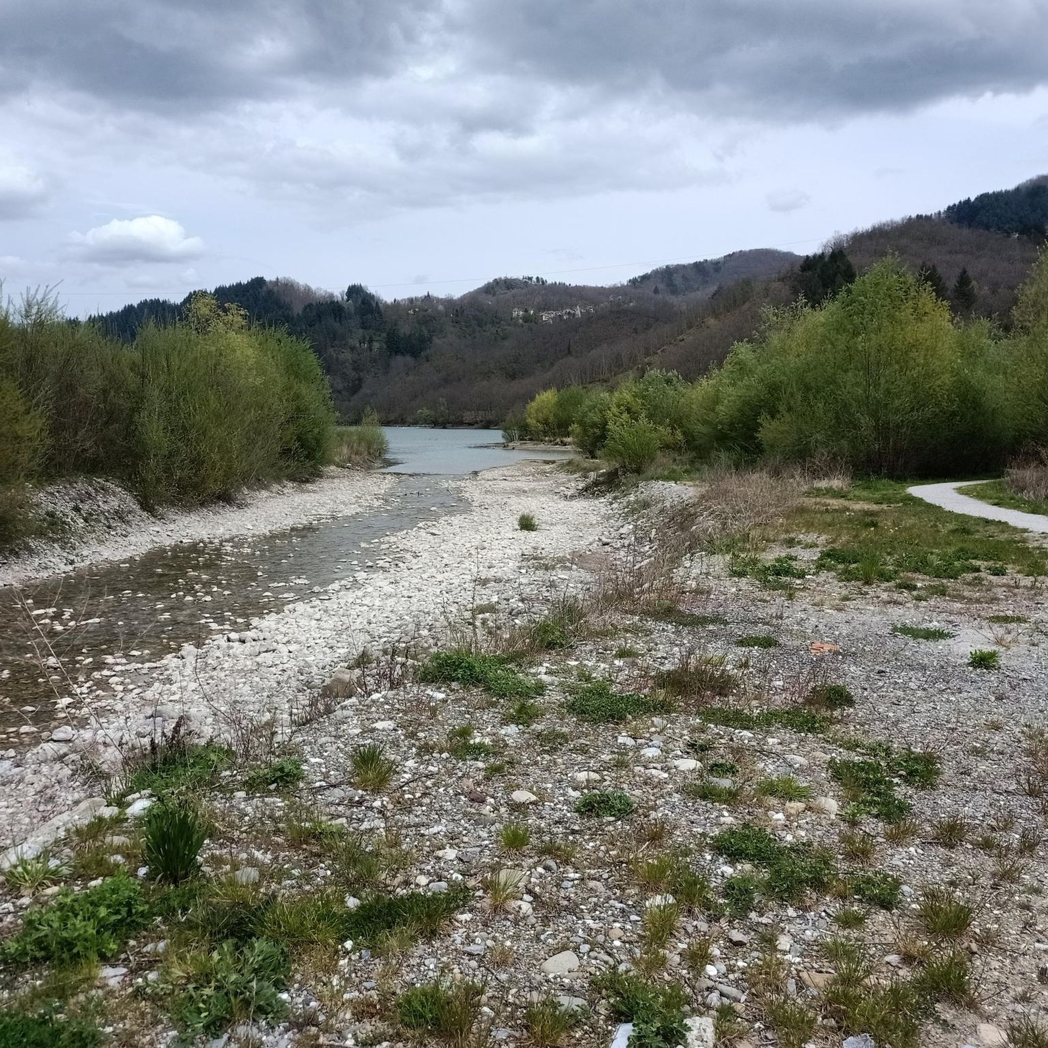
The lake of Gramolazzo is a lake in the Apuan Alps located near the homonymous village in the municipality of Minucciano. Of artificial origin, it was created in the second half of the 1900s, together with the lake of Vagli by SELT Valdarno for the hydroelectric use of the Serchio river and its tributaries. The lake, which has a surface area of one square kilometer and a volume of 3.8 million cubic meters, has both the Serchio di Gramolazzo as its inflow and outflow, one of the two branches that, joining near Piazza al Serchio, form the Tuscan river. Another important stream that flows into the lake is the Acqua Bianca stream, which coming from Mount Pisanino crosses the village of Gorfigliano. A large part of the water, however, is fed through a channel on the left bank, near the dam, which with a maximum flow rate of 20 cubic meters per second discharges the waters captured from the Serchio into the Sillano valley. The waters of the lake of Gramolazzo feed the Fabbriche power plant which in turn discharges them into the lake of Vagli.
0
0
The construction of the hydroelectric dam, designed by Count Eng. Ignazio Prinetti Castelletti, began in 1941, slowed down during wartime, and was completed in 1947 under the supervision of SELT Valdarno (now Enel). In the period 1951-53, the dam was raised by about 30 m, bringing the overall height to about 88-92 m. The ordinary arch and gravity dam, built in concrete, has a crest 150 m long and 5 m wide, while the width at foundation level is about 70 m. The crest is accessible to the public all year round. The lake, artificially formed in 1947 by damming the Edron stream, constitutes the dam's reservoir. Upon filling, the rising lake waters submerged some villages, the main one being Fabbriche di Careggine, a small village of blacksmiths from Brescia, founded in the 13th century, which re-emerges with every emptying of the basin. Since the Vajont disaster, the basin has not been filled beyond 80% of its maximum capacity. The basin holds about 35 million cubic meters of water and is exceptionally emptied in case maintenance intervention is necessary. This has happened four times: in 1958, 1974, 1983, and 1994. In the latter year, almost 1 million tourists from all over the world arrived in Vagli.
0
0

There are no free parking spaces, the only parking lot belongs to the bar and is reserved for customers.
1
0

A fantastic parish church that's worth a visit. The interior, especially, is truly beautiful.
0
0

A strategic crossroads of various mountain bike routes
1
0

The place is cool and quiet during the week. Canoe rentals are available for lake excursions.
0
0
Frequently Asked Questions
How many road cycling routes are available around Minucciano?
Minucciano and the surrounding Garfagnana region offer a diverse network of over 25 road cycling routes. These routes cater to various skill levels, with a focus on moderate to difficult rides that feature significant elevation changes through the Apuan Alps.
What kind of terrain can I expect on road cycling routes in Minucciano?
The terrain around Minucciano is characterized by the dramatic landscape of the Apuan Alps. Cyclists will encounter challenging mountain passes like Tambura Pass and Passo del Vestito, winding roads through hills, ancient forests, and charming medieval villages. While primarily paved, some routes might include short, manageable gravel sections.
Are there any scenic loop routes around lakes in the Minucciano area?
Yes, the region features beautiful loop routes around its pristine lakes. A popular option is the Lake Gramolazzo and Lake Vagli - loop from Gorfigliano, a challenging 42.1-mile (67.8 km) path offering scenic views and varied terrain around these prominent lakes.
What are some notable landmarks or points of interest I can see while cycling in Minucciano?
Road cycling routes in Minucciano often pass by stunning natural and historical sites. You can cycle past beautiful lakes like Lake Gramolazzo and Lake Vagli, or explore charming settlements such as Isola Santa Village. The region is also known for its medieval architecture and the intriguing 'ghost town' of Fabbriche di Careggine, submerged in Lake Vagli.
What is the best time of year for road cycling in Minucciano?
The best time for road cycling in Minucciano is generally from spring through autumn. During these seasons, the weather is more favorable for tackling the mountain passes and enjoying the scenic routes through olive groves, vineyards, and forests. Summer offers warm conditions, while spring and autumn provide milder temperatures and vibrant landscapes.
Are there any family-friendly road cycling routes in Minucciano?
While many routes in Minucciano feature significant climbs and are rated moderate to difficult, there are options that can be adapted for families. Shorter, less strenuous sections around the lakes, such as parts of the Villages of Apuan Lunigiana Loop, might be suitable for families looking for a less challenging ride. Always check the elevation profile and distance before setting out.
Where can I find parking for road cycling routes in Minucciano?
Parking is generally available in and around the main villages like Minucciano and Gorfigliano, which serve as common starting points for many routes. Specific parking information can often be found in the route descriptions on komoot, or by checking local signage upon arrival.
What do other road cyclists say about the routes in Minucciano?
The road cycling routes in Minucciano are highly regarded by the komoot community, with an average score of 4.5 stars from over 20 reviews. Cyclists frequently praise the challenging climbs, the breathtaking panoramic views from mountain passes, and the diverse scenery that includes lakes, forests, and historic villages.
Are there cafes or places to stop for refreshments along the cycling routes?
Yes, as you cycle through the Garfagnana region, you'll find charming medieval villages. Many of these villages, such as Equi Terme Village, offer local cafes, trattorias, or small shops where you can stop for refreshments, coffee, or a meal. It's always a good idea to carry some snacks and water, especially on longer routes.
Can I access Minucciano's cycling routes using public transport?
Access to Minucciano and the surrounding Garfagnana region by public transport is possible, though it might require some planning. Regional buses connect Minucciano to larger towns. For specific routes, it's advisable to check local bus schedules and consider how easily you can transport your bike, as options may be limited.
Are there any particularly challenging road cycling routes for experienced riders?
Experienced riders seeking a significant challenge will find plenty in Minucciano. The Cerreto and Pradarena Passes Loop is a prime example, covering 66.4 miles (106.8 km) with over 3,000 meters of elevation gain across two major mountain passes, offering an exhilarating and demanding ride.
What kind of views can I expect from the mountain passes in Minucciano?
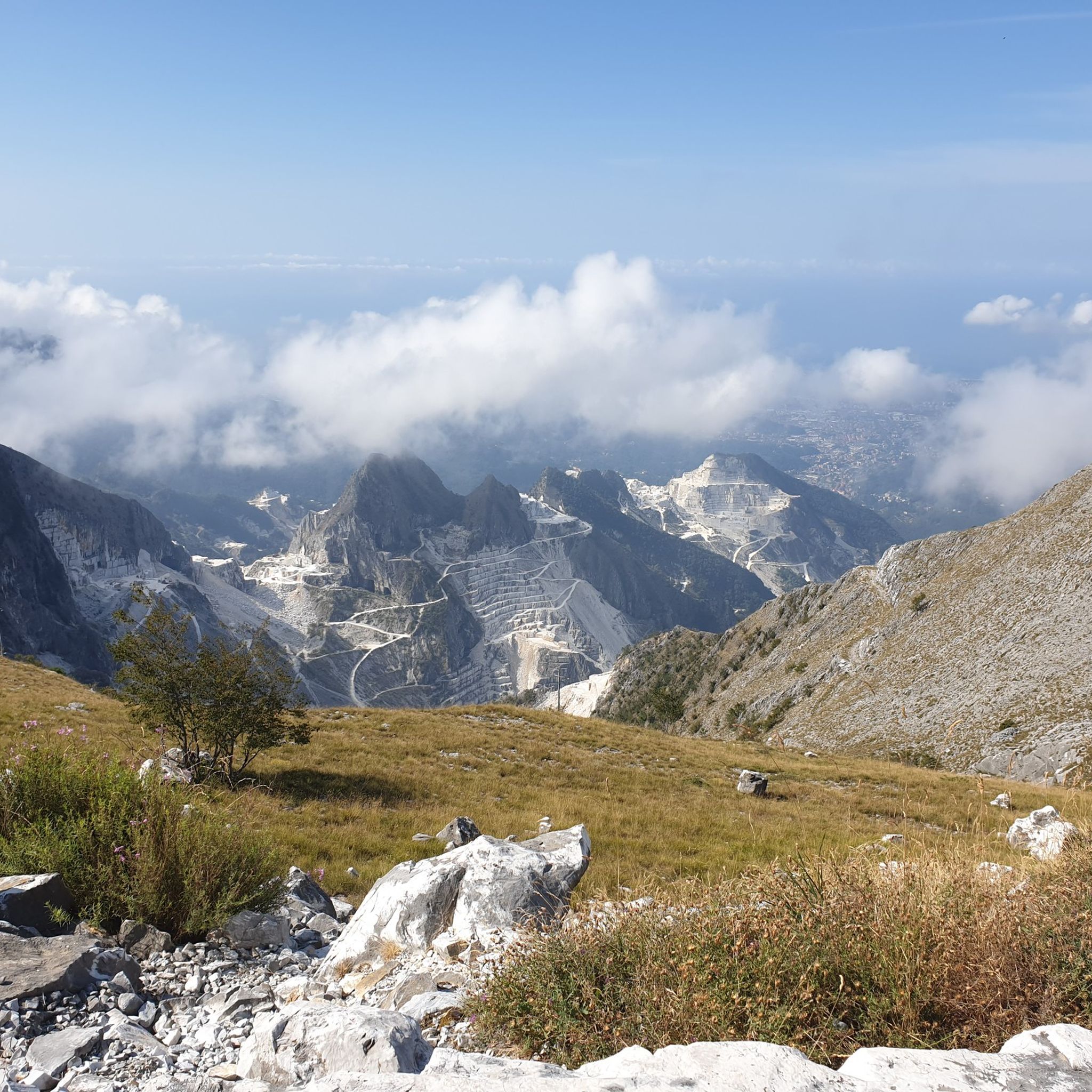
The mountain passes in Minucciano, such as Tambura Pass (1630 meters above sea level) and Passo del Vestito, offer truly spectacular 360-degree panoramic views. From these vantage points, you can often see across the majestic Apuan Alps, down to the valleys, and even catch glimpses of the sea on clear days, making the challenging climbs incredibly rewarding.
Are there any routes that combine lake views with historical villages?
Absolutely. Routes like the Vagli and Campocatino – Lake Gramolazzo loop from Gorfigliano not only offer stunning views of Lake Vagli and Lake Gramolazzo but also pass through or near historical villages, allowing you to experience both the natural beauty and the rich cultural heritage of the region.
Most popular routes around Minucciano
Most popular attractions around Minucciano

Get inspired with the komoot mobile app


Explore more
Browse the best Road cycling routes in other regions.
