The best road cycling routes around Rocca Sinibalda
4.8
(53)
1,645
riders
69
rides
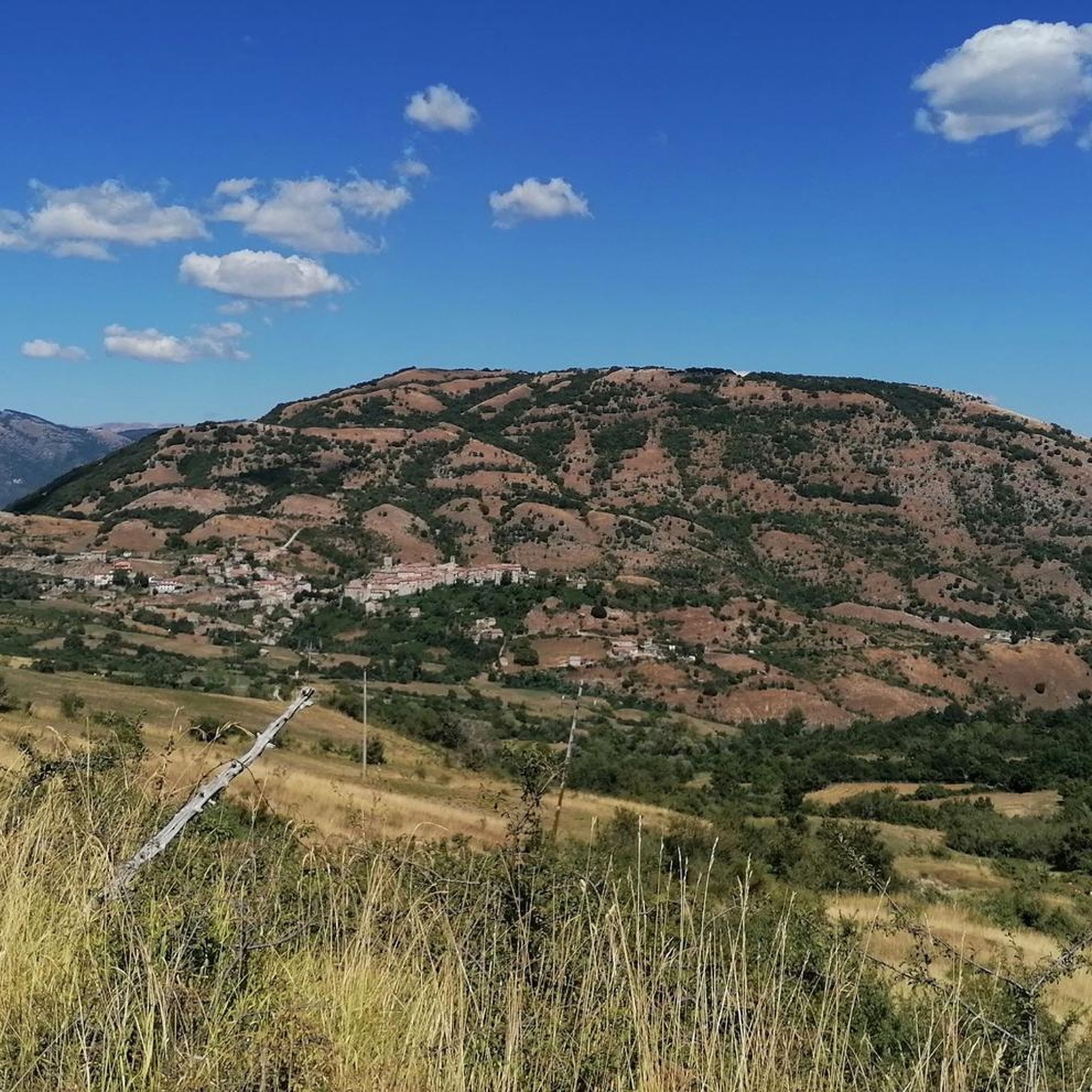
Road cycling around Rocca Sinibalda is characterized by its diverse terrain within the Sabina hills and Turano valley. The region features Apennine landscapes with forests, high-altitude grasslands, and river gorges. Cyclists encounter varied elevation changes, from rolling hills to more challenging climbs, offering panoramic views. The area also includes routes near the artificial lakes of Salto and Turano, providing scenic lakeside sections.
Best road cycling routes around Rocca Sinibalda
- The most popular road cycling route is Rifugio Angelo Sebastiani –…
Last updated: July 5, 2026
51
riders
93.1km
05:10
1,950m
1,950m
Hard road ride. Very good fitness required. Mostly well-paved surfaces and easy to ride.
20
riders
58.3km
03:43
1,250m
1,250m
Hard road ride. Very good fitness required. Some segments of this route may be unpaved and difficult to ride.

Sign up for free
5.0
(1)
30
riders
66.4km
03:23
1,100m
1,100m
Hard road ride. Very good fitness required. Mostly well-paved surfaces and easy to ride.
28
riders
113km
05:28
1,530m
1,530m
Hard road ride. Very good fitness required. Mostly well-paved surfaces and easy to ride.
5.0
(1)
16
riders
53.1km
02:30
690m
690m
Moderate road ride. Good fitness required. Mostly well-paved surfaces and easy to ride.
Get access to more routes and recommendations from other explorers.
Sign up for free
Already have an account?
Our route recommendations are based on thousands of hikes, rides, and runs completed by other people on komoot.
Start today with a free account
Your next adventure awaits.
Login or Signup
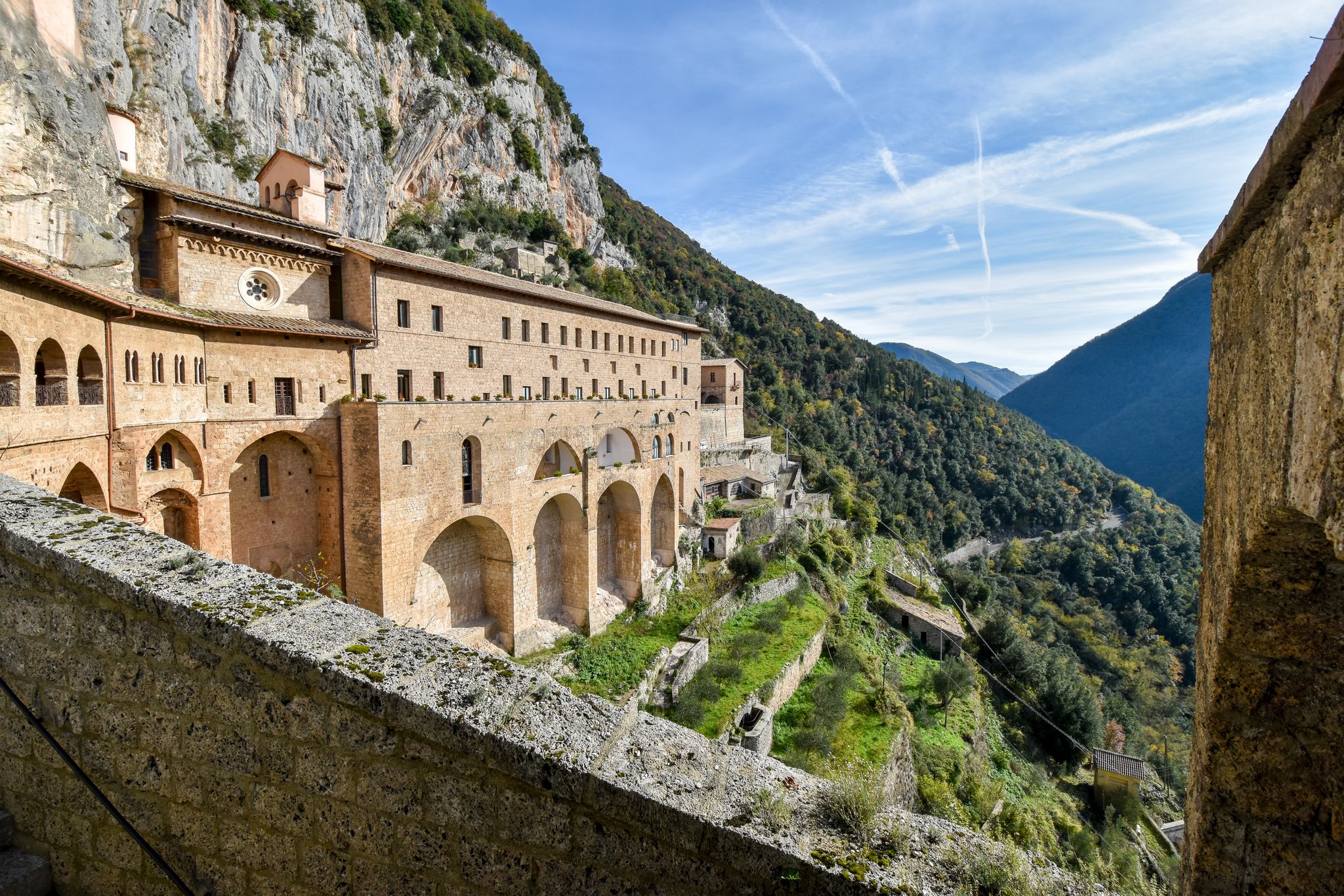
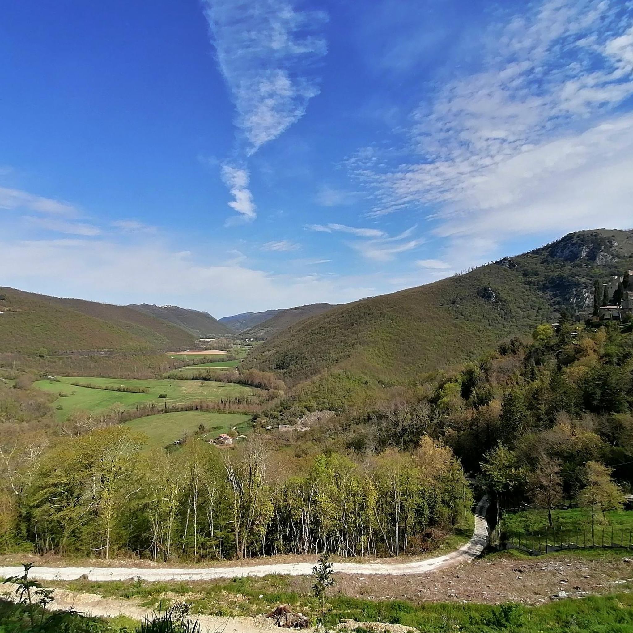
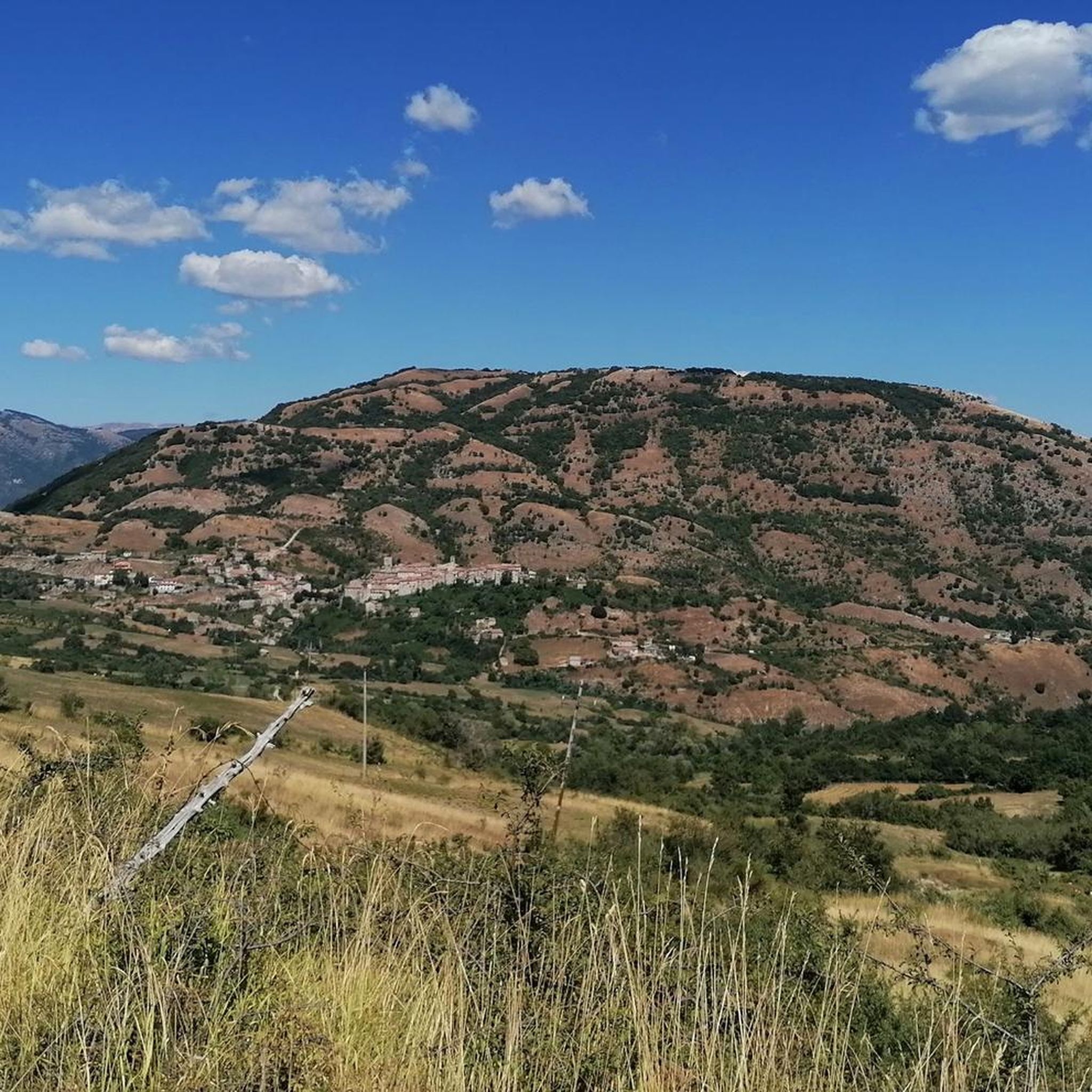
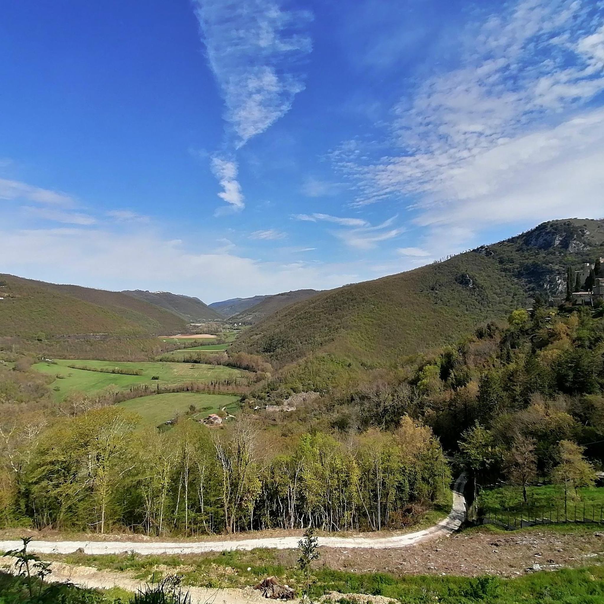

Other adventures around Rocca Sinibalda

Tips from the Community


The bar looks good with the two tarts. Last stop before reaching the top
0
0

Fresh drinking water after the long climb
1
0

The town of Pian de’ Valli, is located in the municipality of Rieti, stands at the foot of Terminillo, at an altitude of 1620 meters, hosts many accommodation and commercial activities, and the departure station of the ski lifts is located a few steps from the center. The famous Terminillo cable car is still in operation today both in the winter and summer seasons and is the historical symbol of Pian de’ Valli.
2
0
Road that connects Rieti to Terminillo. Done downhill it is really fun, also for its length
2
0
The walls surround the entire center, of Roman origin, of which few traces remain; the medieval walls built in the 13th century are still widely visible with their towers and portals, which are considered "among the most imposing and best preserved in Lazio. Very suggestive
2
0

Beautiful road surrounded by greenery from which you can admire charming villages perched on the hills. It is part of the cycling route of the Cammino di San Benedetto.
4
0
Frequently Asked Questions
How many road cycling routes are available around Rocca Sinibalda?
There are over 60 road cycling routes available around Rocca Sinibalda, offering a wide range of options for different skill levels and preferences. These routes explore the diverse terrain of the Sabina hills and Turano valley.
Are there easy road cycling routes suitable for beginners in Rocca Sinibalda?
While many routes in Rocca Sinibalda feature varied elevation, there are 21 moderate routes that can be suitable for beginners looking for a challenge. These routes often traverse rolling hills rather than steep climbs, allowing for a more relaxed pace while still enjoying the scenic landscapes.
What kind of challenges can advanced road cyclists expect in Rocca Sinibalda?
Advanced road cyclists will find plenty of challenging terrain, with 41 difficult routes featuring significant elevation gains. The Apennine landscapes offer demanding climbs and descents, such as the Rifugio Angelo Sebastiani – Pian de' Valli, Terminillo loop from Torricella in Sabina, which includes nearly 2,000 meters of ascent.
Can I find road cycling routes that go past lakes or rivers?
Yes, the region is known for its beautiful lakes. Routes often feature sections along the artificial lakes of Salto and Turano, and the Turano River valley. For example, the Castel di Tora – Lake Turano loop from Torricella in Sabina offers scenic lakeside views. You can also visit the Salto Fjord or the Salto Dam along some routes.
Which road cycling routes offer the best panoramic views?
Many routes provide stunning panoramic views across the Sabina hills, the Turano valley, and the Apennine mountains. The Castel di Tora – Roccacerro, Velino view loop from Colle di Tora offers extensive vistas of the Velino mountain range. For breathtaking perspectives, consider routes that pass near the View of Lake Turano and Lake Salto from Monte Navegna.
Are there circular road cycling routes around Rocca Sinibalda?
Yes, many of the road cycling routes in the area are designed as loops, allowing you to start and finish in the same location. Examples include the Orvinio Historic Center – Castel di Tora loop from Castel di Tora and the Salto Lake Dam – View of Pescorocchiano loop from Varco Sabino.
What historical or cultural attractions can I see along the road cycling routes?
The region is rich in history. You can cycle through charming ancient villages and past significant landmarks. The village of Rocca Sinibalda itself is dominated by its impressive Rocca Sinibalda Castle. Routes like the Orvinio Historic Center – Castel di Tora loop from Castel di Tora lead through historical centers. Other points of interest include the Ancient Baths of Vespasian and the Cave of Saint Michael the Archangel.
What do other road cyclists enjoy most about road cycling in Rocca Sinibalda?
The area is highly rated by the komoot community, with an average score of 4.8 stars from over 30 reviews. Cyclists often praise the diverse terrain, the stunning panoramic views, and the opportunity to combine challenging rides with visits to historical villages and natural attractions like the lakes.
Is Rocca Sinibalda a good destination for road cycling year-round?
The best time for road cycling in Rocca Sinibalda is typically from spring through autumn, when the weather is mild and the landscapes are vibrant. While winter cycling is possible, some higher elevation routes might be affected by colder temperatures or occasional snow, especially towards the Terminillo area. Always check local weather conditions before heading out.
Are there any natural monuments or unique natural features to explore by bike?
Absolutely. The region is home to the Monti Navegna e Cervia Regional Nature Reserve, offering pristine nature. Cyclists can discover natural highlights such as the Vallocchie Waterfall and the Cottorella Spring, which add to the scenic beauty of the routes.
Where can I find information about the Rocca Sinibalda region beyond cycling?
For broader information about Rocca Sinibalda and the surrounding Lazio region, including cultural events and other attractions, you can visit the official tourism website: visitlazio.com.
Most popular attractions around Rocca Sinibalda

Get inspired with the komoot mobile app


Explore more
Browse the best Road cycling routes in other regions.
