The best walks and hikes around Blera
4.3
(885)
3,463
hikers
13
hikes
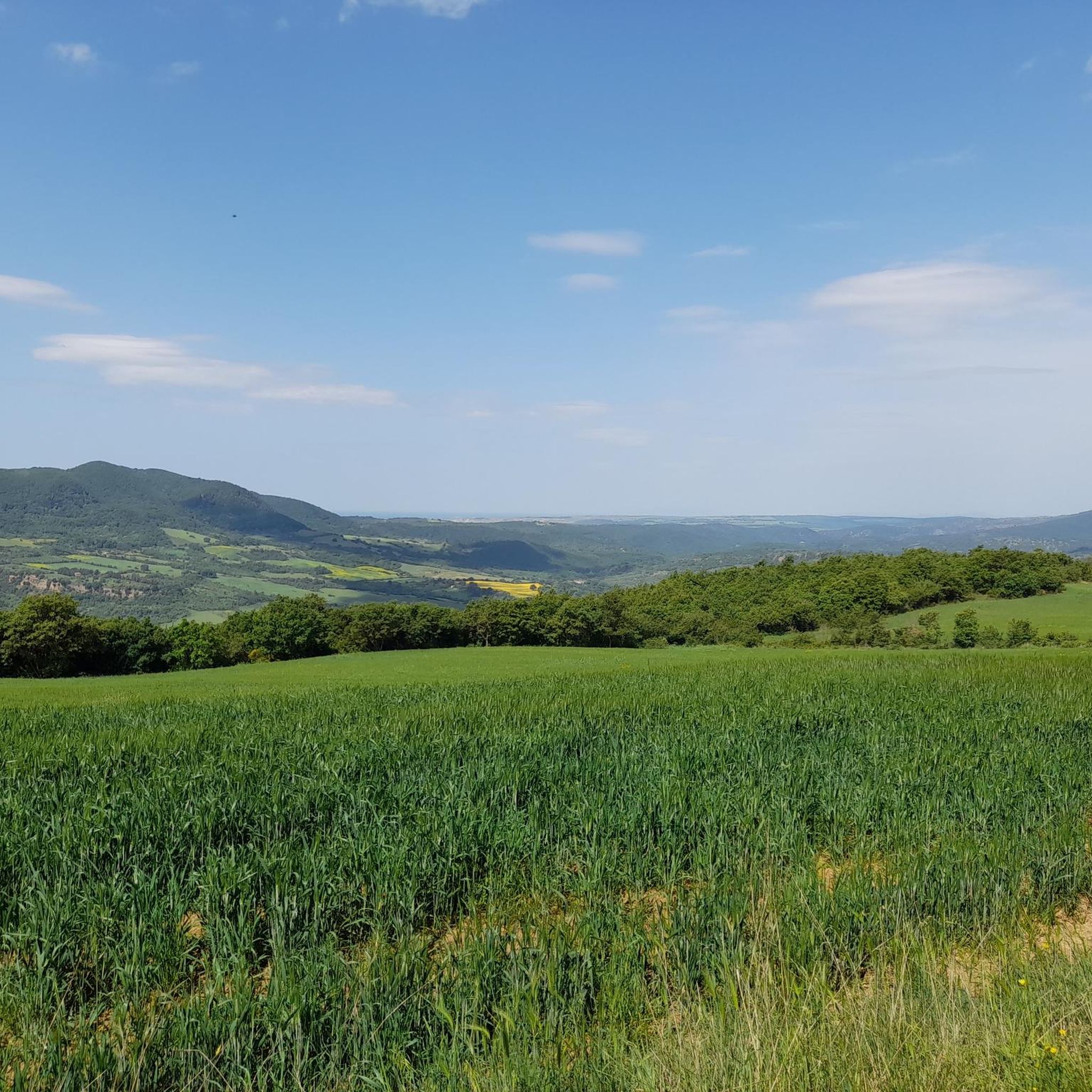
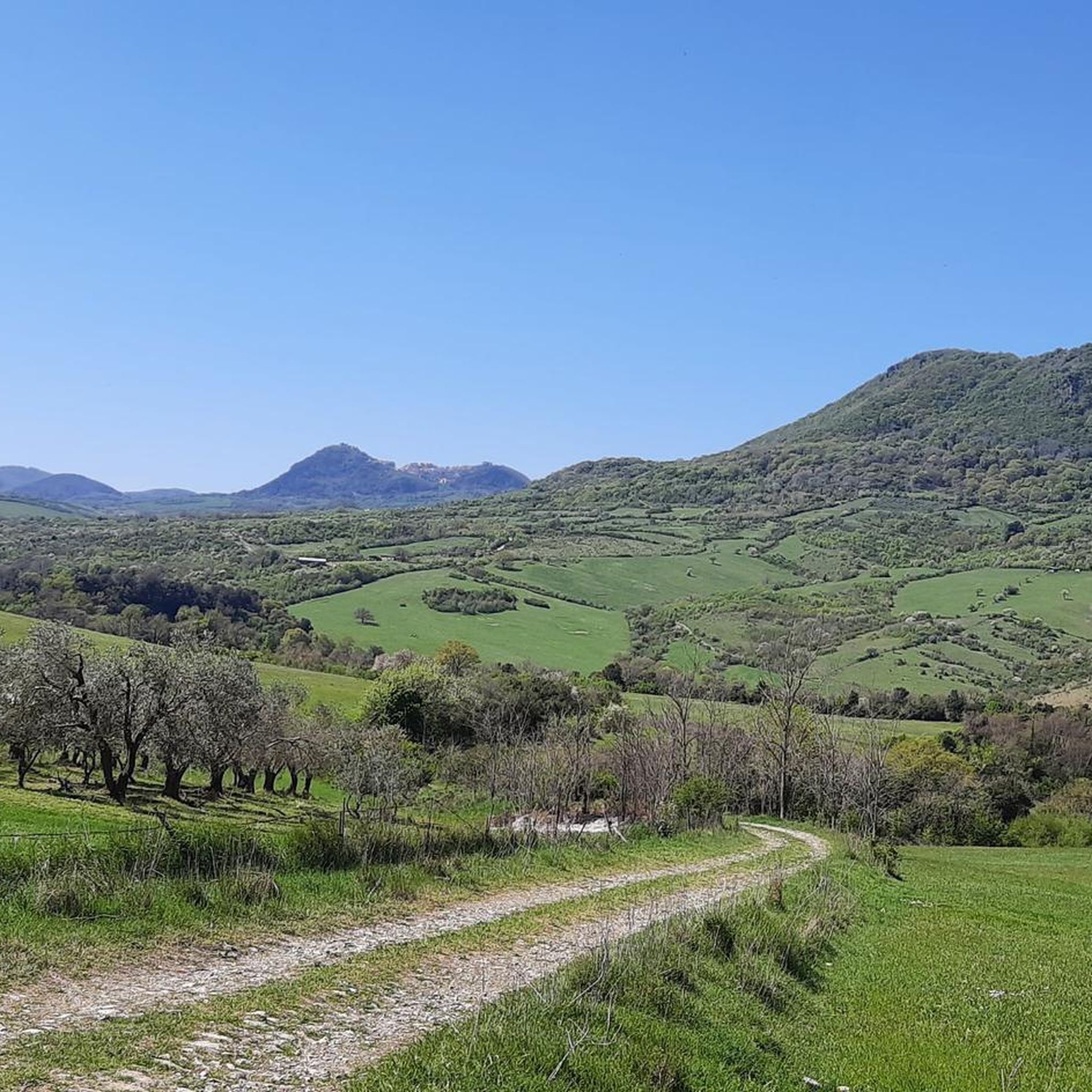
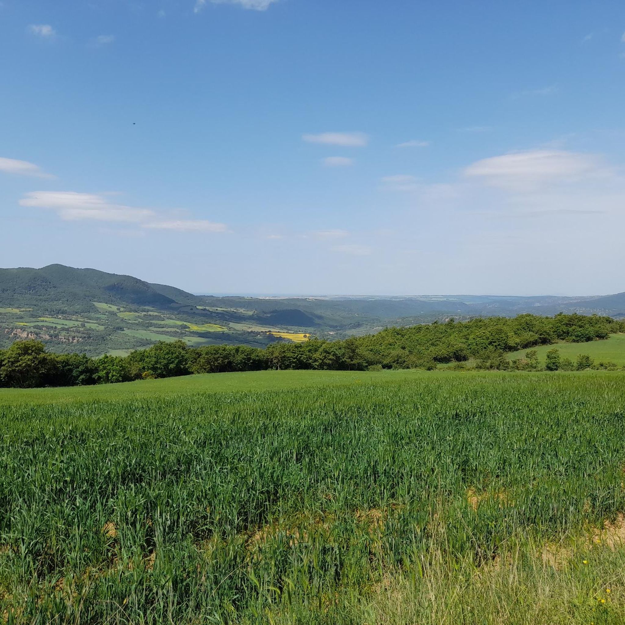
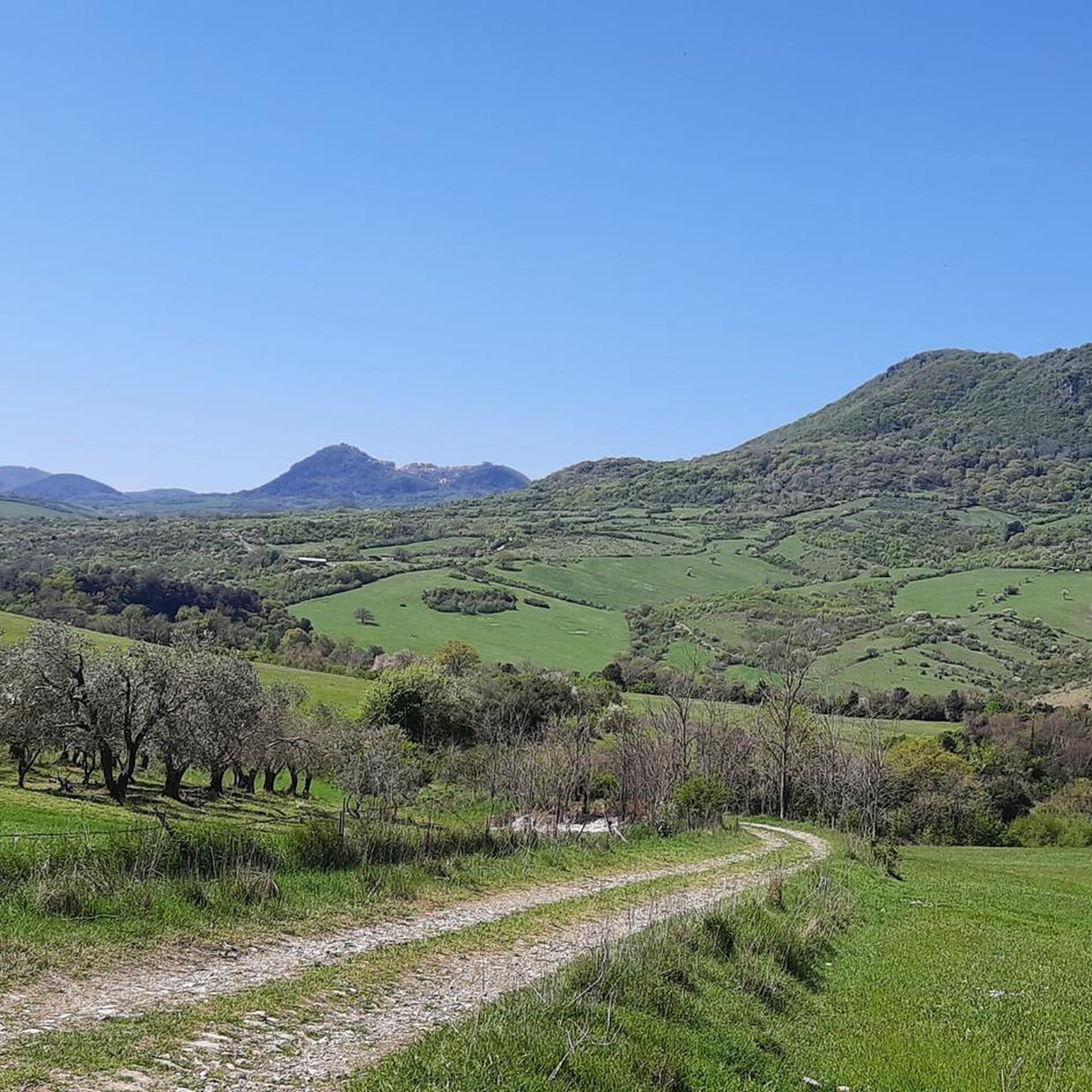
Hiking around Blera offers exploration through a landscape shaped by tufa formations and deep valleys in the Lazio region of Italy. The area features dramatic gorges, cliffs, and ancient roads cut into rock. Verdant vegetation covers the terrain, providing a natural setting for outdoor activities. The Biedano Valley is a notable woody oasis within this environment.
Best hiking trails around Blera
- The most popular hiking route is Biedano River – Via Cava Buia and Colombario loop from Blera, a…
Last updated: August 19, 2026
4.7
(126)
529
hikers
17.8km
05:13
330m
330m
Hard hike. Very good fitness required. Mostly accessible paths. Sure-footedness required.
4.6
(54)
178
hikers
11.1km
03:18
170m
170m
Moderate hike. Good fitness required. Mostly accessible paths. Sure-footedness required.

Sign up for free
4.5
(2)
28
hikers
Hard hike. Good fitness required. Sure-footedness, sturdy shoes and alpine experience required.
4.0
(2)
22
hikers
Hard hike. Good fitness required. Sure-footedness, sturdy shoes and alpine experience required.
5.0
(2)
4
hikers
8.57km
02:25
180m
170m
Moderate hike. Good fitness required. Mostly accessible paths. Sure-footedness required.
Get access to more routes and recommendations from other explorers.
Sign up for free
Already have an account?
Our route recommendations are based on thousands of hikes, rides, and runs completed by other people on komoot.
Start today with a free account
Your next adventure awaits.
Login or Signup

Tips from the Community

A route that presents many points of interest. It keeps the traveler's curiosity alive by combining the beauty and uniqueness of the landscape and the material traces of man.
0
0
A dreamy, almost enchanted path. Sturdy footwear required!
0
0

Staircase to Barbarano Romano
1
0

Ancient Roman bridge on the ancient road Via Clodia
0
0

Bridge over the Mignone where the Old Civitavecchia-Orte railway passes. Splendid panoramic point
0
0

The Path of the Three Cities through the Parco Marturanum is really recommended if you like a bit of adventure. For us it was easy to walk on as long as you actually stayed on the path. A white/red marking shows the way. A constant gentle up and down, where you now and then have to cross the stream over stones. There are several old bridges and buildings to explore.
2
0
One of several fantastic arched bridges along the way that have defied the ravages of time. Wild nature wherever you go, still easy to walk on and marked, paired with historical signposts that cover a period of time that is incomprehensible to us. It's worth taking another look to discover something exciting.
1
0

May 2023 - the path is not really developed but rather a wild path - so go on the adventure with long pants and sturdy shoes. My tip would be to go to the ruins of the third mill. It is an ancient dam with two breakthroughs and therefore two waterfalls. Carefully go over the wall (!) Crashing wouldn't be a good idea...then go right. into the ancient man-made aqueduct. The tunnel is over 2 meters high and was probably a regulated inflow/outflow from the mill. The top highlight of this valley.
1
1
Frequently Asked Questions
What types of hiking trails can I find around Blera?
Hiking around Blera is characterized by deep gorges, tufa cliffs, and ancient Etruscan necropolises. The terrain offers a mix of moderate and difficult routes, often exploring historical sites and natural formations carved into the landscape.
How many hiking routes are available in the Blera area?
There are over 10 hiking routes around Blera, with 10 classified as moderate and 3 as difficult. These trails allow you to explore the region's unique blend of history and nature.
Are there any circular hiking routes near Blera?
Yes, many routes around Blera are circular. For example, the Staircase to Barbarano Romano – Cave loop from Barbarano Romano is a moderate 10 km path featuring historical elements and natural formations. Another option is the Necropolis of Luni sul Mignone loop from Fontanile la Rimessa, a more challenging 13.1 km trail through an ancient necropolis area.
What historical sites or landmarks can I see while hiking in Blera?
Blera is rich in history. Hikers can explore numerous Etruscan necropolises, such as the Necropolis of Pian del Vescovo and the stunning Necropolis of Norchia. You might also encounter ancient Roman roads like the Via Clodia, the Devil's Bridge (Ponte del Diavolo), and ancient water mills in the Biedano Valley. The San Giovenale Necropolis is another significant historical site in the area.
Are there any waterfalls or unique natural features to discover?
Yes, the region features the scenic Mole waterfalls. The Biedano Valley itself is a woody oasis with caves and ancient water mills. The landscape is dominated by tufa formations and deep gorges, offering dramatic natural scenery throughout your hike.
What do other hikers say about the trails in Blera?
The routes in Blera are highly rated by the komoot community, with an average score of 4.5 stars from over 740 reviews. Hikers often praise the unique blend of ancient history and natural beauty, particularly the well-preserved Etruscan sites and the dramatic tufa landscapes.
Are there any challenging hikes for experienced hikers?
Yes, Blera offers several challenging routes. The Necropolis of Luni sul Mignone loop from Fontanile la Rimessa is a difficult 13.1 km trail. Another demanding option is the San Giovenale Necropolis – Mignone Railway Bridge loop from Civitella Cesi, which covers 14.8 km and is also rated difficult.
Can I find ancient Roman roads or paths to hike on?
Absolutely. The ancient Roman road, Via Clodia, passes through the area and offers historical trekking opportunities. You can also explore ancient roads cut directly into the rock, known as *Vie Cave*, such as the famous Cava Buia, which provides an adventurous experience.
What kind of vegetation and natural environment can I expect?
The area around Blera is covered in beautiful, verdant vegetation, creating a lush environment for outdoor activities. The Biedano Valley is particularly noted as a woody oasis, offering a refreshing natural setting for your hikes.
Are there any other attractions nearby that I can combine with a hike?
Beyond the hiking trails, you can explore other nearby attractions. These include historical sites like Orlando Towers and Roman Tombs of Vico Matrino, the ruins of Ancient Monterano, or the Ancient Stone Bridge in Parco Marturanum. For those interested in castles, the Tolfa Castle offers panoramic views.
What is the typical duration for hikes in Blera?
Hikes in Blera vary in duration depending on the route and your pace. Moderate trails like the Biedano River – Via Cava Buia and Colombario loop from Blera typically take around 3 hours and 18 minutes. Longer, more difficult routes can take upwards of 3.5 to 4 hours.
Most popular attractions around Blera

Get inspired with the komoot mobile app


Explore more
Browse the best Hikes in other regions.
