The best running trails around Lettomanoppello
3.6
(11)
391
runners
58
runs
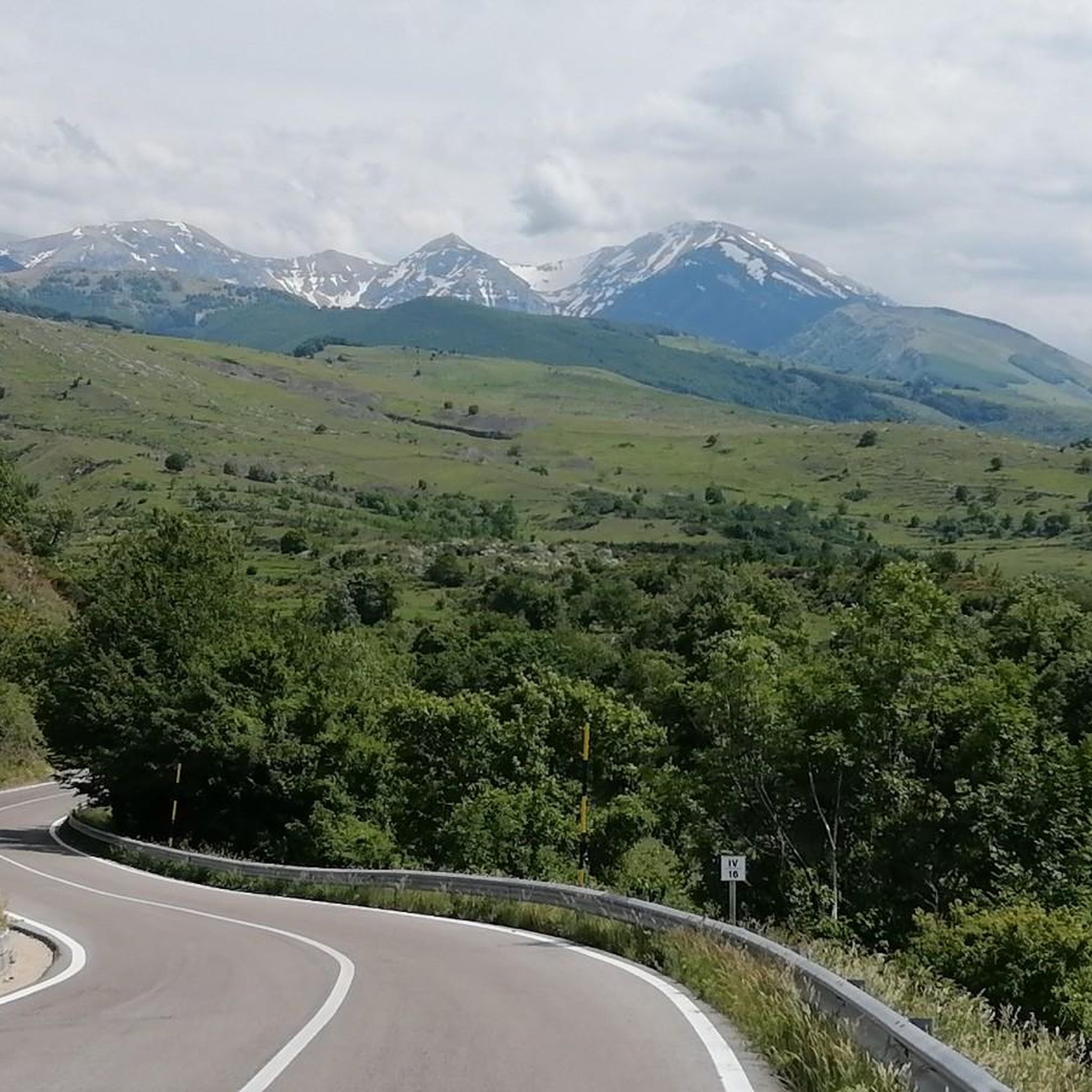
Jogging around Lettomanoppello offers diverse landscapes within Italy's Abruzzo region, situated at the foot of the Majella mountain range and integral to the Majella National Park. The area features varied terrain, including hills, plains, and plateaus, with elevations ranging from approximately 300 to 2,100 meters above sea level. Runners can explore a mix of inclines and flatter sections, often following the course of the Lavino River. This environment provides a range of running experiences suitable for different fitness levels.
Best…
Last updated: July 1, 2026
3.0
(1)
2
runners
8.81km
00:58
180m
180m
Moderate run. Good fitness required. Mostly paved surfaces. Suitable for all skill levels.
8.05km
00:59
260m
260m
Moderate run. Good fitness required. Mostly paved surfaces. Suitable for all skill levels.

Sign up for free
8
runners
15.3km
02:28
820m
820m
Hard run. Very good fitness required. Sure-footedness, sturdy shoes and alpine experience required.
2.8
(5)
8
runners
7.65km
00:48
70m
70m
Moderate run. Good fitness required. Mostly paved surfaces. Suitable for all skill levels.
4.0
(1)
6
runners
9.26km
01:06
310m
320m
Hard run. Very good fitness required. Mostly paved surfaces. Suitable for all skill levels.
Get access to more routes and recommendations from other explorers.
Sign up for free
Already have an account?
Our route recommendations are based on thousands of hikes, rides, and runs completed by other people on komoot.
Start today with a free account
Your next adventure awaits.
Login or Signup
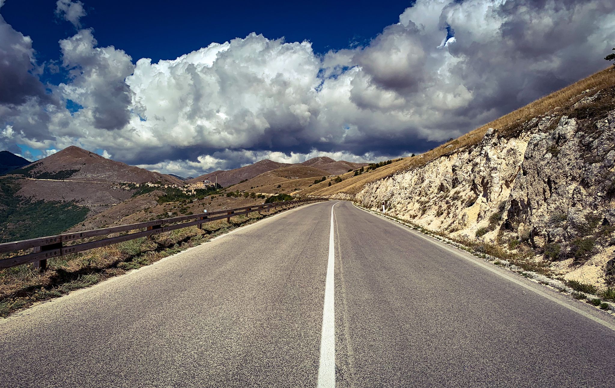
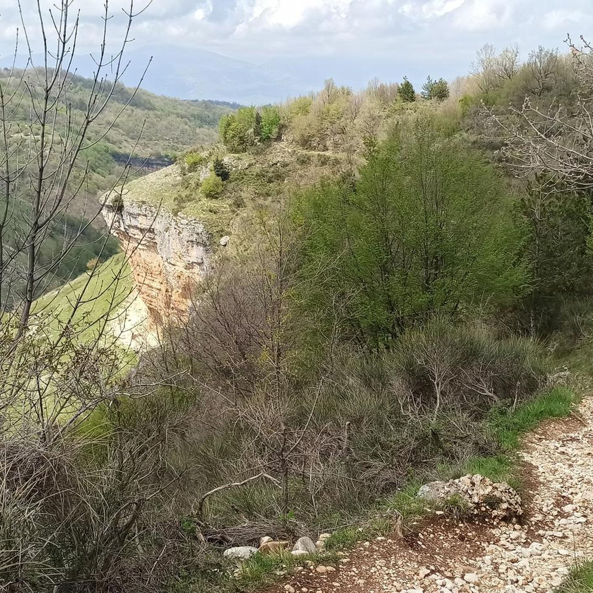
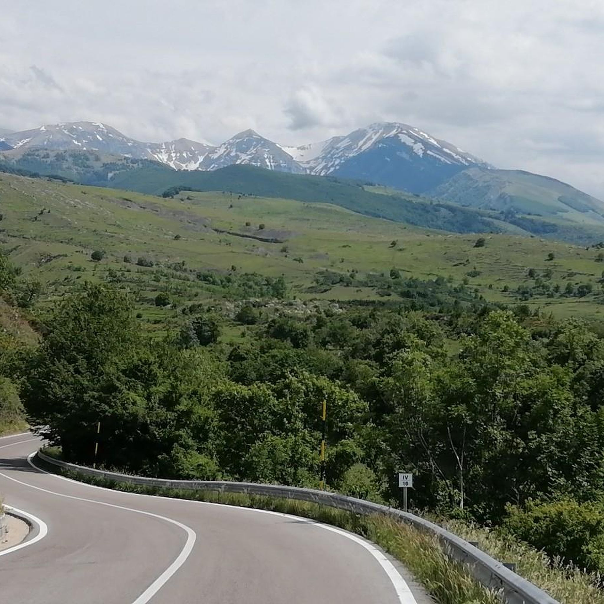
Other adventures around Lettomanoppello

Tips from the Community

The tower overlooks the valley through which the Alento River flows. Half intact (and the other half collapsed), it's certainly a landmark for a beautiful hike and a view that sweeps across these lands.
0
0

the place is magnificent and if you remain silent, you can hear the river flowing through the valley.
0
0

This place is very fascinating. The circular tower, of evident Lombard origin, stands alone overlooking the Alento valley. From here, in fact, you have a spectacular view of the surrounding landscape. It can be reached either from the Abbey of San Liberato, through the Alento gorges (shorter route), or from the state road to Pretoro (longer route).
2
0
The abbey is located in an extremely suggestive place. It is immersed in the greenery of the woods on the slopes of the Majella massif. The structure is impressive and it is worth entering to admire the interior. In addition to being a beautiful example of Romanesque architecture, it is also a perfect starting point for exploring the surrounding woods. In fact, it has a large parking area.
4
0
The path here runs alongside the Alento river. The environment is enchanting: the sound of flowing water mixes with that of the tree branches moving in the wind. It's perfect for finding some cool air on hot summer days. It can be easily reached from the Abbey of San Liberatore.
6
0
Manoppello is a small town in the Abruzzo hinterland. It is located in the hilly area below the most imposing Majella massif. The village, of medieval origins, is well preserved and there is a relaxed air of peace. It is best known for the sanctuary, located about a kilometer from the town.
2
0

Large open space in Abbateggio with a panoramic point.
0
0
Located 520 meters above sea level, Roccamorice is known for its peculiar position on a rock spur that divides the valleys of the Avinello and Lavino rivers, in the Maiella park.
0
0
Frequently Asked Questions
How many running routes can I explore around Lettomanoppello?
There are over 50 running routes available around Lettomanoppello, offering a wide range of options for different preferences and fitness levels. These trails are set within the diverse landscapes of the Majella National Park.
Are there running trails suitable for beginners or those looking for an easy jog?
While the guide primarily features moderate to difficult routes, the Majella National Park area around Lettomanoppello is known for its varied terrain, including easily-accessible paths suitable for all skill levels. These gentler paths are perfect for leisurely jogs or beginners.
What kind of terrain can I expect on the running trails near Lettomanoppello?
The terrain around Lettomanoppello is highly diverse, ranging from hills, reliefs, and plateaus to river valleys. You'll find a mix of inclines and flatter sections, with some paths following the course of the Lavino River. The Majella National Park offers everything from natural rock steps to well-trodden trails.
Are there any circular running routes in the area?
Yes, there are several circular running routes. A popular option is the Path of the Stone Huts Loop, which is a moderate 8.8 km trail. Another challenging circular route is the Running loop from Pretoro, covering about 15.3 km with significant elevation gain.
What are some scenic points or natural attractions I might see while running?
The region is rich in natural beauty. You might encounter the dramatic Orfento Valley, the historic Sant'Angelo Cave, or even the Alento River Waterfalls. The Majella National Park itself offers stunning mountain peaks, canyons, and diverse landscapes.
Are there any longer, more challenging running trails for experienced runners?
Absolutely. For experienced runners seeking a challenge, the La Maielletta – Passo Lanciano loop from Passo Lanciano is a difficult 19.7 km trail through mountainous terrain. Another demanding option is the Alento Valley loop from Serramonacesca, which is a difficult 9.1 km route with notable elevation changes.
What do other runners say about the trails in Lettomanoppello?
The running routes in Lettomanoppello are highly rated by the komoot community, with an average score of 4.2 stars from over 5 reviews. More than 390 runners have used komoot to explore the varied terrain, often praising the diverse landscapes and the natural beauty of the Majella National Park.
Is Lettomanoppello a good place for trail running with dogs?
The Majella National Park, which encompasses Lettomanoppello, generally welcomes dogs on trails, though specific regulations may apply regarding leashes and protected areas. It's always advisable to check local park rules before heading out with your dog.
What is the best time of year for jogging in Lettomanoppello?
The diverse elevations within the Majella National Park mean that running conditions can vary seasonally. Spring and autumn generally offer pleasant temperatures for jogging. Summer can be warm, especially at lower altitudes, while higher elevations might be suitable. Winter running is possible, but some trails may be affected by snow or ice, particularly at higher altitudes.
Are there any historical or unique trails to explore?
Yes, the region offers unique trails with historical significance. The 'Minatori' (Miners') Trail, for example, is a 3.5 km loop that provides insights into local history and geology, featuring natural rock steps and sections along a river, making for an engaging run.
How can I get to the running trails using public transport?
While specific public transport details for individual trailheads are not readily available, Lettomanoppello itself is accessible. For detailed information on public transport options to the region and nearby trail access points, it is recommended to consult local transport authorities or tourist information centers.
Where can I find parking for the running routes?
Parking availability varies by trailhead. For popular spots like the Sant'Angelo Cave or areas near Fonte Pirella and Dimore Montane, there are often designated parking areas. It's advisable to check specific route descriptions or local signage upon arrival for the most accurate parking information.
Most popular routes around Lettomanoppello
Most popular attractions around Lettomanoppello

Get inspired with the komoot mobile app


Explore more
Browse the best Running Trails & Routes in other regions.
