The best walks and hikes around Lettomanoppello
4.5
(1696)
8,074
hikers
165
hikes
Hiking around Lettomanoppello offers diverse terrain within the Majella National Park, characterized by mountainous landscapes and varied elevations. The region features a mix of forested areas, open plateaus, and historical structures like tholos huts. Situated at the foot of the Majella mountain range, the area includes peaks reaching up to 2,100 meters and is traversed by the Lavino River. Trails often explore the local geology and flora, providing a range of paths for different hiking preferences.
Best hiking trails around…
Last updated: June 25, 2026
4.6
(10)
44
hikers
6.86km
02:10
280m
280m
Moderate hike. Good fitness required. Easily-accessible paths. Suitable for all skill levels.
4.5
(4)
19
hikers
17.7km
06:09
810m
810m
Hard hike. Very good fitness required. Mostly accessible paths. Sure-footedness required.

Sign up for free
4.6
(5)
11
hikers
5.81km
01:47
200m
200m
Easy hike. Great for any fitness level. Easily-accessible paths. Suitable for all skill levels.
4.6
(7)
35
hikers
6.27km
02:04
300m
300m
Moderate hike. Good fitness required. Easily-accessible paths. Suitable for all skill levels.
6
hikers
2.55km
00:44
60m
60m
Easy hike. Great for any fitness level. Easily-accessible paths. Suitable for all skill levels.
Get access to more routes and recommendations from other explorers.
Sign up for free
Already have an account?
Our route recommendations are based on thousands of hikes, rides, and runs completed by other people on komoot.
Start today with a free account
Your next adventure awaits.
Login or Signup

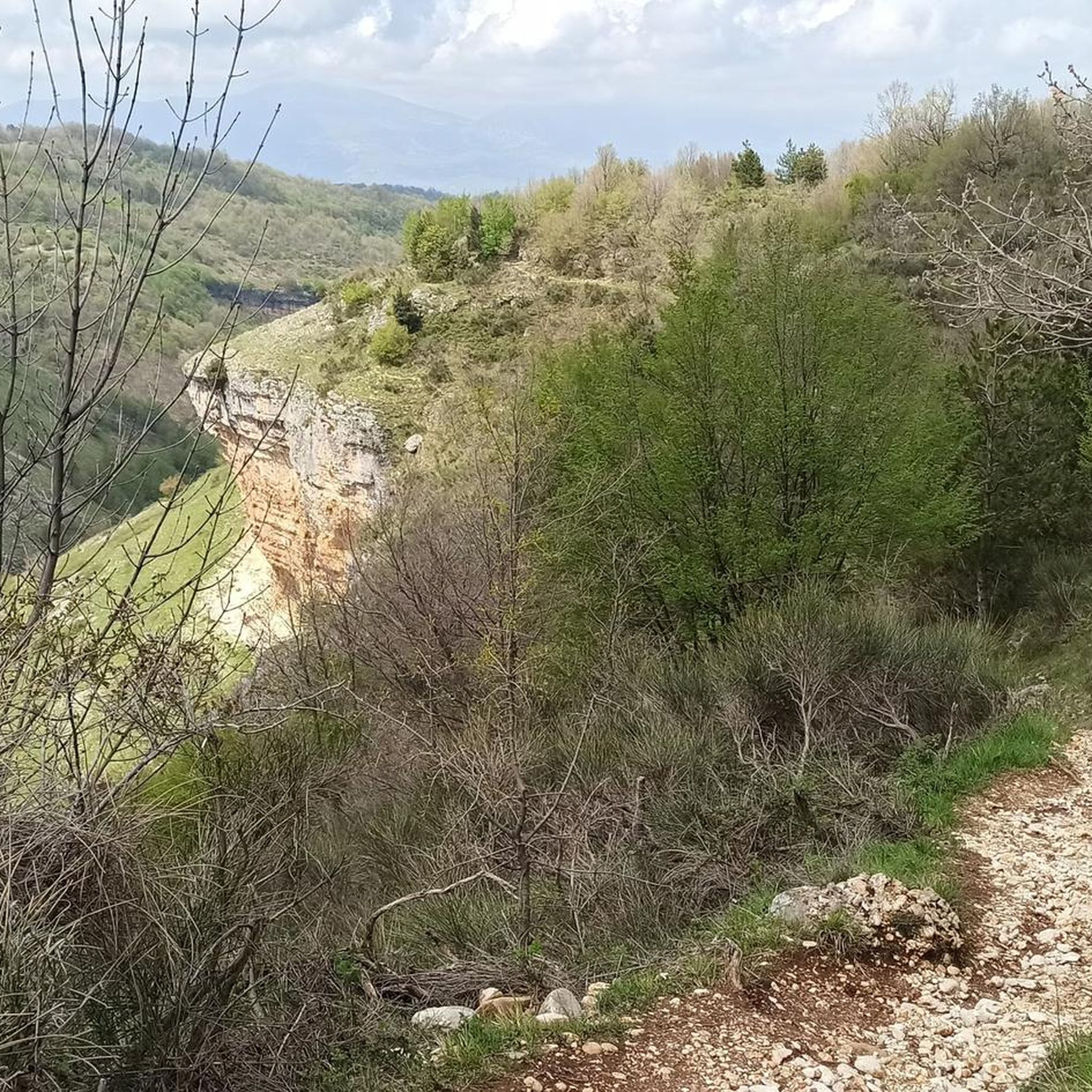
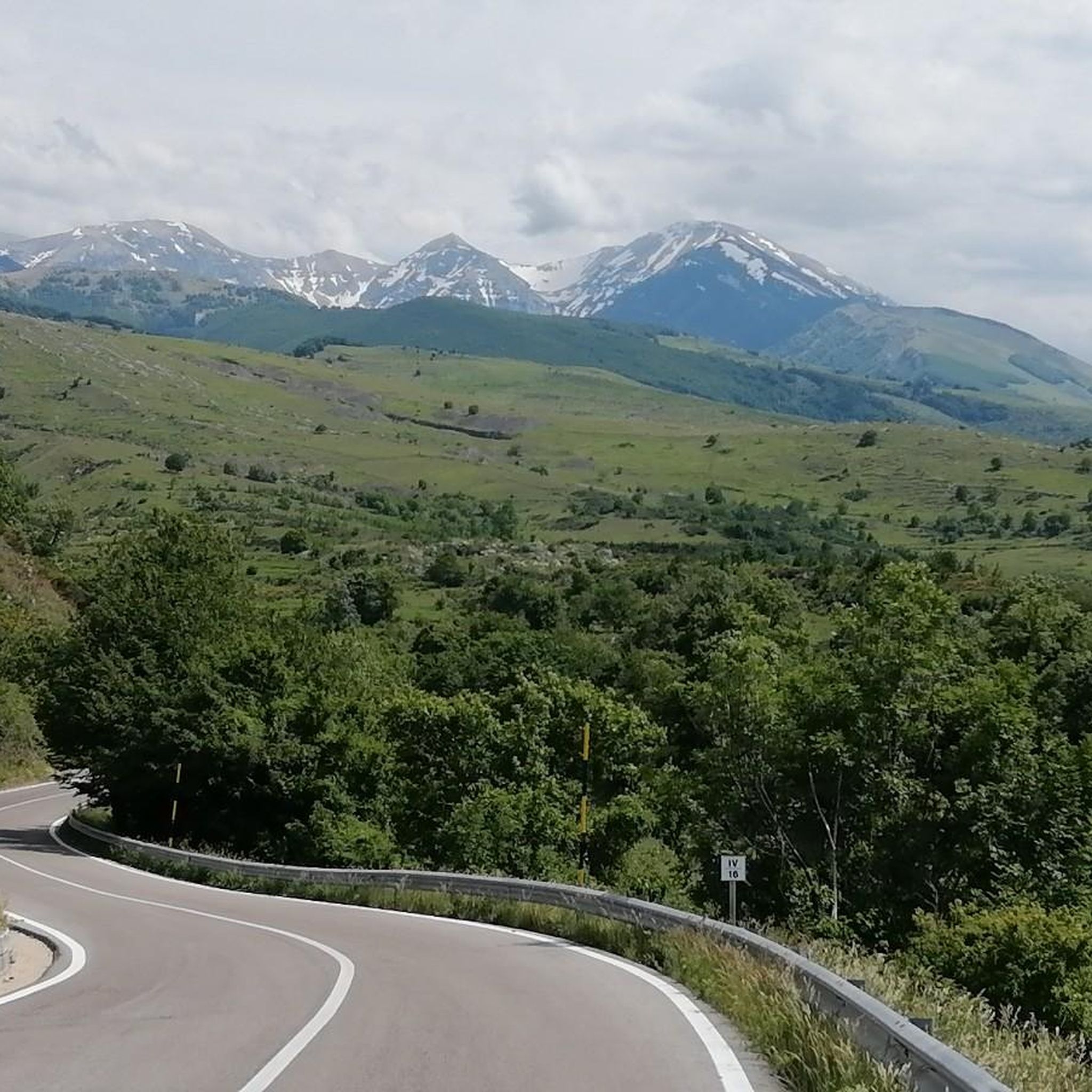
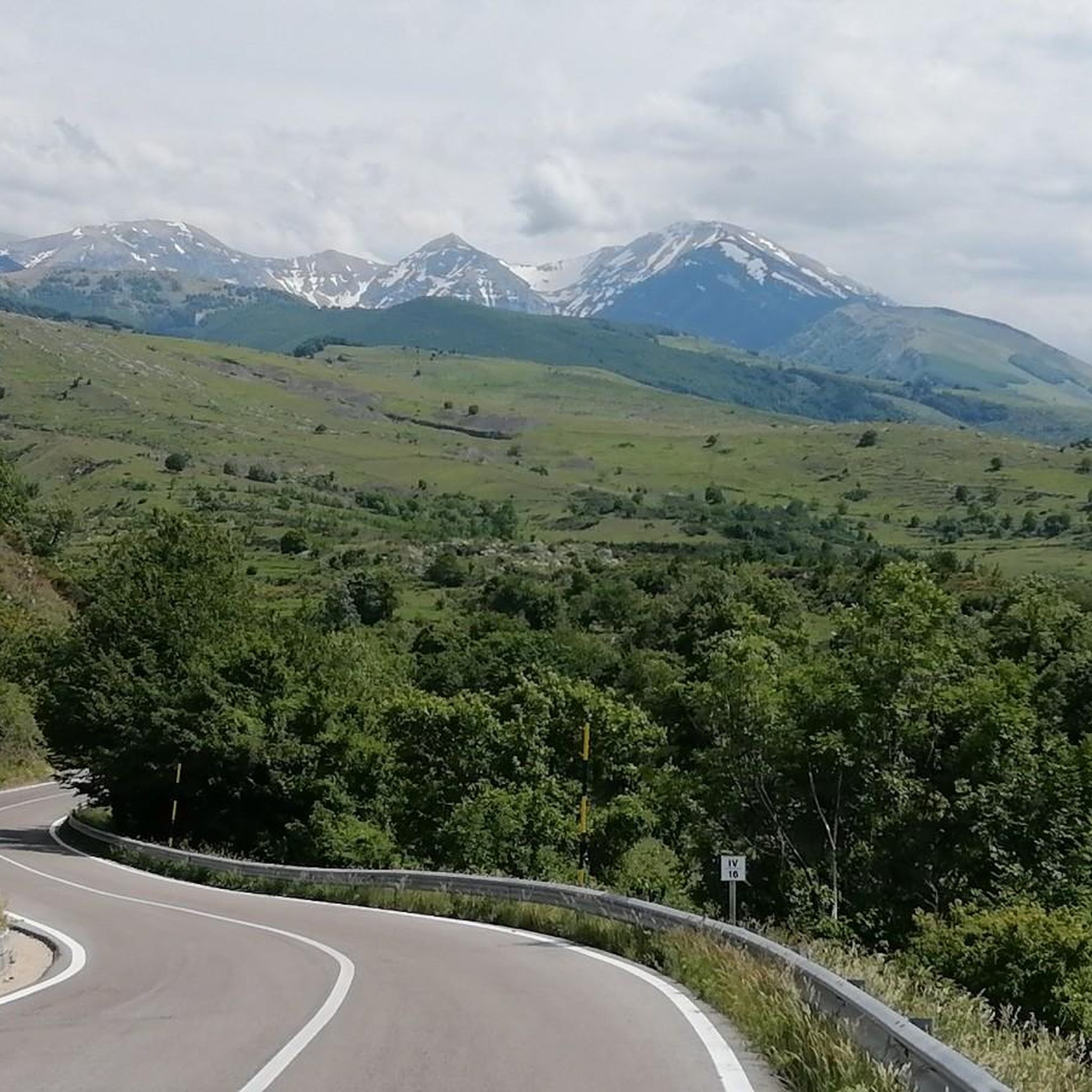
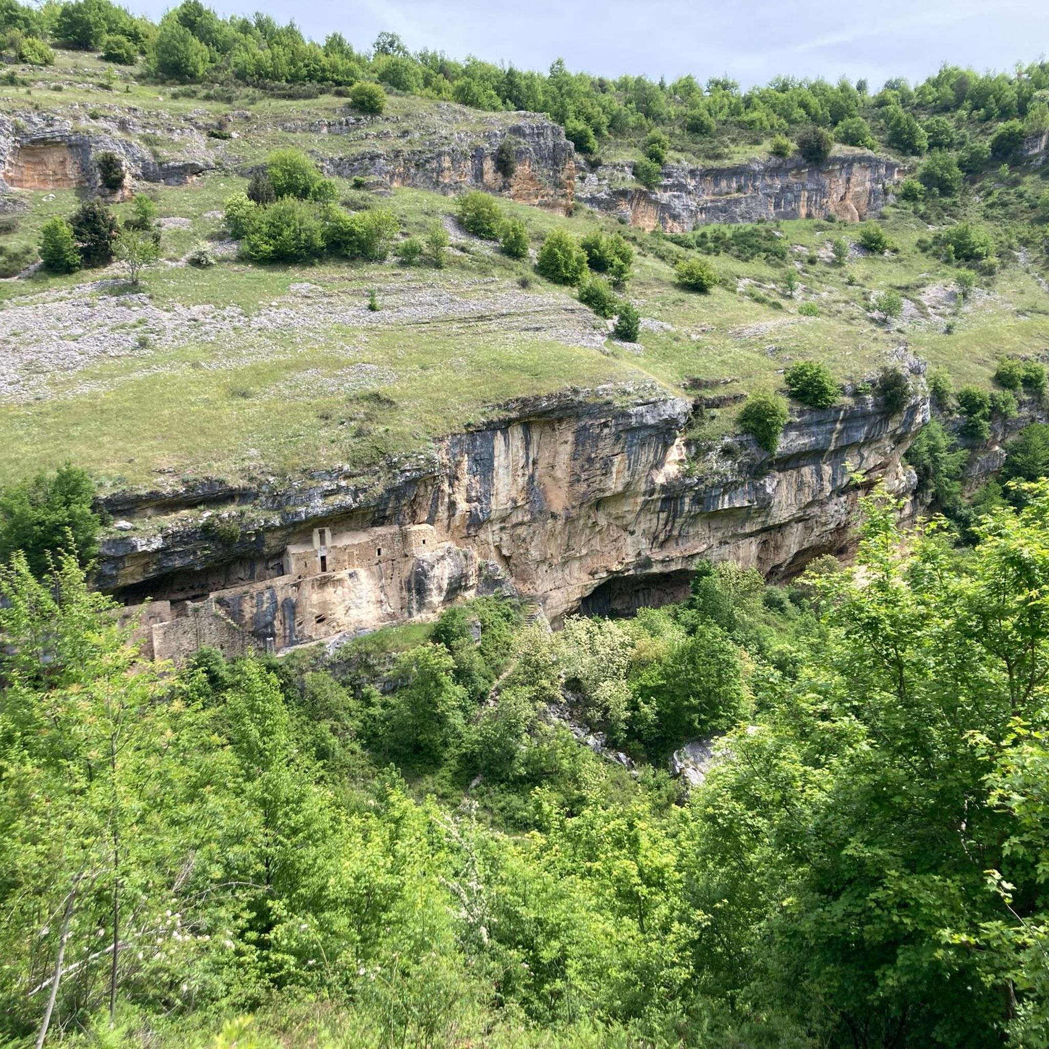
Other adventures around Lettomanoppello

Tips from the Community

The inhabitants of Abruzzo and the neighboring region of Lazio have their own local observation related to this Passo Lanciano. When the sun sets in the spring behind the mighty Majella massif, it quickly gets dark on the Abruzzo side (i.e., where Passo Lanciano is located) and dusk falls, while on the other side of the mountains, in Lazio, it is still bright daylight. Locals joke that at the same moment, one half of Italy goes to sleep, and the other goes for an aperitivo.
0
0


If you go beyond the end of the paved road, after the telecommunications facilities of the blockhouse, you'll find a paved road that ends on another stretch of gravel road, leading to a sort of small terrace, where you can admire a 360° panorama. A short distance away, you can see a small chapel dedicated to Our Lady of the Snows... from there, you'll find trails for hiking or, for a while, for a gravel bike ride.
0
0

end of the blockhaus trail, wonderful view
0
0
wonderful and very popular spot
0
0
it is the start of all trekking routes that start after the blockhaus
0
0
the Pomilio refuge, in addition to being a good restaurant, is also the start of the blockhaus and the path to reach the top of Mount Amaro
0
0
Frequently Asked Questions
How many hiking trails are there around Lettomanoppello?
Lettomanoppello, situated within the Maiella National Park, offers a wide selection of hiking opportunities. There are over 140 hiking routes available, catering to various skill levels and preferences.
Are there easy hiking routes suitable for beginners or families with children?
Yes, Lettomanoppello has several easy trails perfect for beginners or families. For instance, the Cerrone Hut loop from Passo Lanciano is an easy 1.6-mile (2.6 km) path that leads through forested sections. Another accessible option is the Sant'Angelo Cave loop from Fonte Pirella, which is 3.6 miles (5.8 km) long and also rated as easy.
Are there any circular hiking routes in the area?
Many of the trails around Lettomanoppello are designed as circular routes, allowing you to start and end at the same point. A popular example is the Passo Lanciano – Tholos Huts loop from Passo Lanciano, which is 4.3 miles (6.9 km) long and explores historical tholos huts.
What are some challenging day hikes around Lettomanoppello?
For experienced hikers seeking a challenge, the region offers demanding trails with significant elevation changes. The Bruno Pomilio Mountain Hut – La Maielletta loop from Passo Lanciano is a difficult 10.1-mile (16.2 km) trail that takes about 5 hours 40 minutes to complete, leading through rugged mountain terrain.
What kind of attractions or landmarks can I see along the hiking trails?
The trails often lead to or pass by significant natural and historical landmarks. You can explore ancient tholos huts, characteristic of the Maiella region, or encounter impressive mountain features. Highlights include the Blockhaus Peak and the Monte Blockhaus, offering panoramic views. The Sant'Angelo Cave loop from Dimore Montane also provides an opportunity to visit the Sant'Angelo Cave.
Can I hike with my dog in Lettomanoppello?
Many trails within the Maiella National Park are dog-friendly, but it's always recommended to keep your dog on a leash, especially in areas with wildlife or livestock. Check specific trail regulations or local signage for any restrictions before you go.
What is the best time of year to hike in Lettomanoppello?
The best time for hiking in Lettomanoppello is typically from late spring through early autumn (May to October), when the weather is mild and the trails are generally clear of snow. Summer offers warmer temperatures, while spring and autumn provide pleasant conditions and vibrant natural scenery.
Are there options for winter hiking in Lettomanoppello?
Winter hiking is possible, especially on lower elevation trails, but requires appropriate gear such as snowshoes or microspikes, and careful attention to weather conditions. Higher mountain routes may be inaccessible due to heavy snow and ice. Always check local conditions and forecasts before heading out.
Where can I find parking for the trailheads around Lettomanoppello?
Many popular trailheads, especially those starting from Passo Lanciano, offer designated parking areas. It's advisable to check the starting point of your chosen route on komoot for specific parking information, as availability can vary.
What do other hikers enjoy most about the trails in Lettomanoppello?
The hiking trails in Lettomanoppello are highly regarded by the komoot community, with an average rating of 4.5 stars from over 1600 reviews. Hikers frequently praise the diverse terrain, the historical tholos huts, and the stunning views of the Maiella mountain landscape.
Are there less crowded hiking options available?
While some popular routes can see more foot traffic, the extensive network of trails in the Maiella National Park means you can often find quieter paths. Exploring some of the moderate or difficult trails, or hiking during off-peak hours or seasons, can lead to a more secluded experience.
What should I bring for a hike around Lettomanoppello?
For hiking in this mountainous region, it's essential to bring appropriate footwear, layers of clothing suitable for changing weather, sufficient water, snacks, a map or GPS device (like komoot), and sun protection. For longer or more challenging routes, consider a first-aid kit and trekking poles.
Most popular routes around Lettomanoppello
Most popular attractions around Lettomanoppello

Get inspired with the komoot mobile app


Explore more
Browse the best Hikes in other regions.
