The best walks and hikes around Monteleone Sabino
4.5
(480)
2,024
hikers
82
hikes
Hiking around Monteleone Sabino offers a diverse landscape characterized by rolling hills, ancient olive groves, and forested areas. The region features a mix of gentle paths through agricultural land and more challenging trails ascending to viewpoints. Hikers can explore historical sites and natural features, including waterfalls and scenic overlooks.
Best hiking trails around Monteleone Sabino
- The most popular hiking route is Walk from Castel di Tora towards Monte Navegna - Ring tour, a 8.9 miles (14.4 km) trail that…
Last updated: July 5, 2026
1.5
(2)
7
hikers
8.75km
02:30
210m
210m
Moderate hike. Good fitness required. Easily-accessible paths. Suitable for all skill levels.
4.6
(18)
124
hikers
Hard hike. Very good fitness required. Easily-accessible paths. Suitable for all skill levels.

Sign up for free
4.7
(21)
136
hikers
Hard hike. Very good fitness required. Easily-accessible paths. Suitable for all skill levels.
4.2
(5)
17
hikers
12.7km
04:35
750m
750m
Moderate hike. Good fitness required. Easily-accessible paths. Suitable for all skill levels.
5.0
(8)
17
hikers
Hard hike. Very good fitness required. Easily-accessible paths. Suitable for all skill levels.
Get access to more routes and recommendations from other explorers.
Sign up for free
Already have an account?
Our route recommendations are based on thousands of hikes, rides, and runs completed by other people on komoot.
Start today with a free account
Your next adventure awaits.
Login or Signup
Tips from the Community

Poggio S. Lorenzo 'a jewel'. Capafarfa oil mill, oil in Roman times (in the structure there is a tunnel that takes the visitor back to the ROMAN PERIOD, in this case to the AQUEDUCT. But, in the village, we even find a fragment of the WALLS at least 100 m. simply MAJESTIC.
0
0

Drinking water fountain on the "Via di Francesco"
0
0
The Sabine city of Trebula Mutuesca, (or Trebula Mutusca) mentioned by Publius Virgilio Marone in the Aeneid, was located in Lazio, in the province of Rieti, in the territory of the current town of Monteleone Sabino, at 496 meters above sea level , on the southern slopes of the Sabine mountains, about 60 km from Rome. Pliny the Elder mentions two Trebulan peoples: Trebulani qui cognominantur Mutuscaei, et qui Suffenates. The ancient site is located in Monteleone Sabino, a village about 3 km to the right of the Via Salaria, between Osteria Nuova and Poggio San Lorenzo. Here notable ruins of the ancient Roman center emerge, including those of a theatre, baths or spas and parts of the ancient flooring. Several inscriptions have been found, some of which bear the name of its people, Plebs Trebulana, Trebulani Mutuscani and Trebulani Mut., which removes any doubt about the attribution of the site.... continue on the site "https://www. romanoImpero.com/2020/04/trebula-mutuesca-monteleone-lazio.html"
1
0

beautiful, May 14 feast of San Vittoria
0
0

The village of Poggio Moiano stands on a hill at the foot of the mountain of the same name (990 m a.s.l.), at an altitude of 502 m a.s.l. It has very ancient origins: the first evidence dates back to the 11th century.
0
0
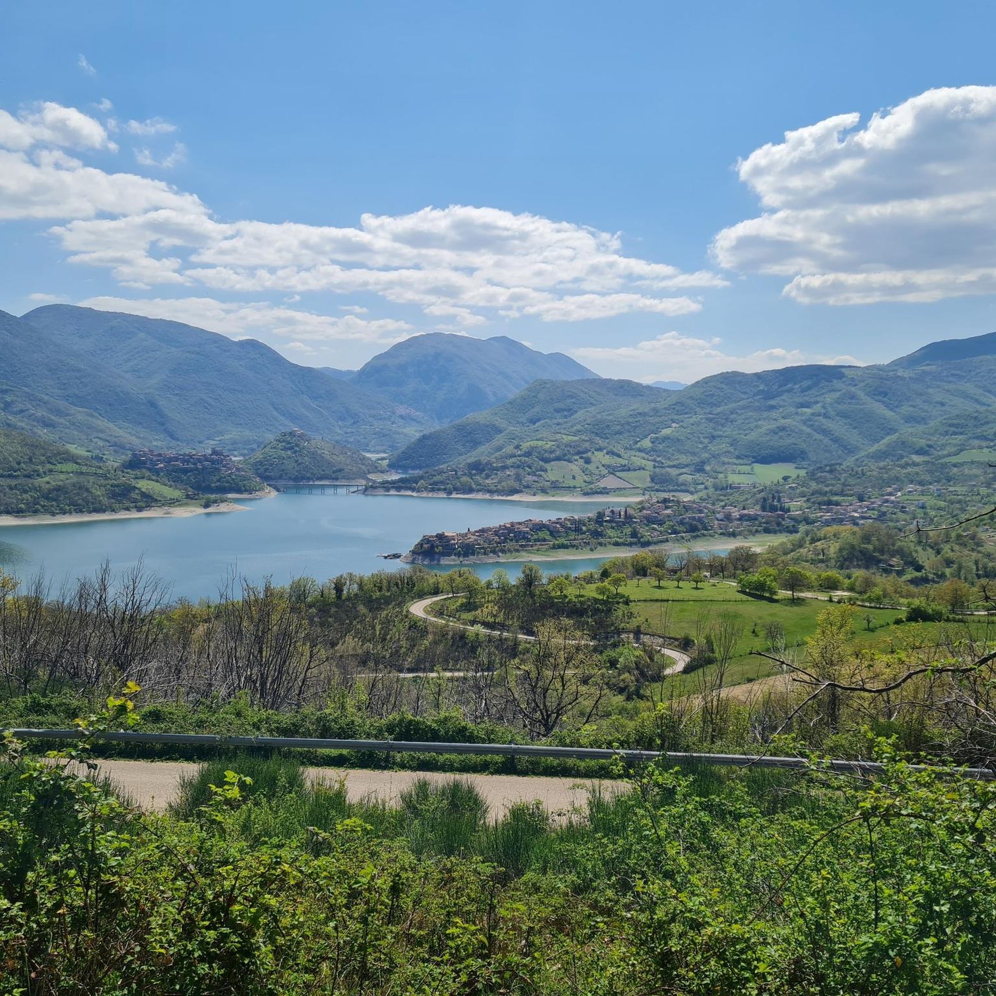
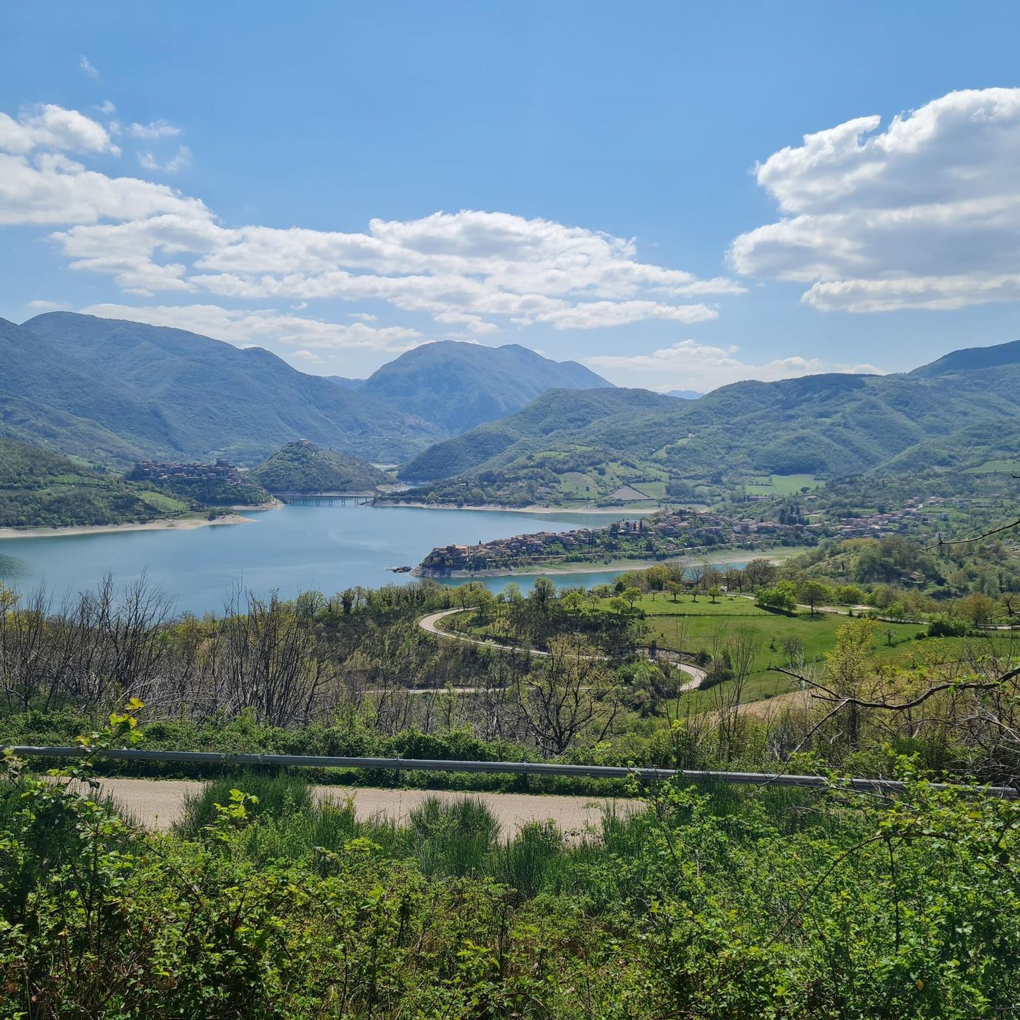
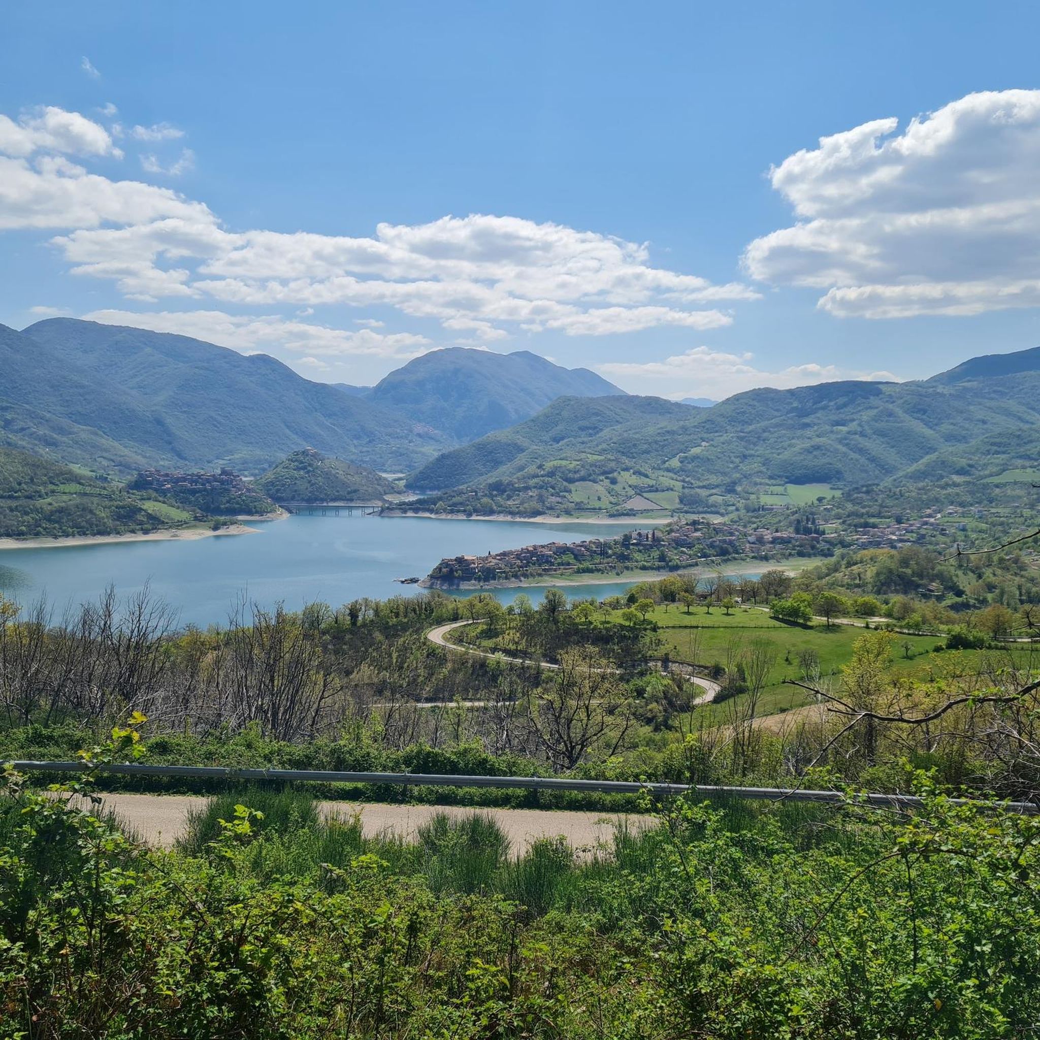
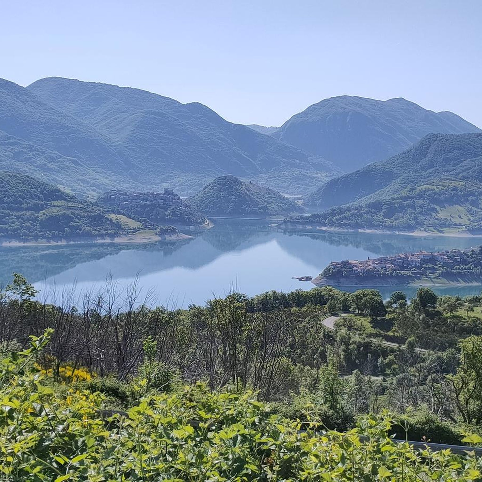
Here the valley opens up and you can admire the village of Monteleone Sabino which stands out on the rock.
0
0
The path of Santa Vittoria winds between Poggio Moiano and Monteleone Sabino also passing by the archaeological site of Trebula, where the Roman amphitheater is located.
0
0
The church of Santa Vittoria, dating back to the third century, is the patronal church in the parish of San Giovanni Evangelista.
0
0
Frequently Asked Questions
How many hiking trails are available around Monteleone Sabino?
There are over 70 hiking trails around Monteleone Sabino, offering a diverse range of experiences from easy strolls to more challenging ascents through rolling hills and forested areas.
Are there easy hikes suitable for beginners or families in Monteleone Sabino?
Yes, Monteleone Sabino features 19 easy hiking routes, many of which are suitable for beginners or families. A good option is the Vallocchie Waterfall – Castel di Tora loop from Castel di Tora, which is 3.0 miles (4.9 km) long and takes about 1 hour 28 minutes to complete, leading to a beautiful waterfall.
Can I find circular walks in the Monteleone Sabino area?
Absolutely. Many routes in Monteleone Sabino are circular, allowing you to start and end at the same point. An example is the From Poggio Moiano to the Roman amphitheater - Circular walk, a moderate 5.4-mile (8.7 km) path that includes historical sites.
Are there any trails that feature waterfalls in Monteleone Sabino?
Yes, the region is known for natural features including waterfalls. The Vallocchie Waterfall – Castel di Tora loop from Castel di Tora is a popular easy trail specifically leading to a waterfall.
What kind of historical sites or landmarks can I see while hiking?
The trails around Monteleone Sabino often pass by historical sites. You can explore the Ruins of San Martino Abbey on Mount Acuziano or visit the Roman amphitheater mentioned in the From Poggio Moiano to the Roman amphitheater - Circular walk.
Are there any hikes with views of lakes?
Yes, several routes offer stunning views of the local lakes. For example, the View of Lake Turano – View of Lake Turano loop from Castel di Tora provides excellent vistas of Lake Turano. You can also find viewpoints like Ascrea Viewpoint overlooking Lake Turano.
What do other hikers enjoy most about the trails in Monteleone Sabino?
The trails in Monteleone Sabino are highly rated by the komoot community, with an average score of 4.5 stars from over 380 reviews. Hikers often praise the diverse landscape, including ancient olive groves, forested valleys, and panoramic views, as well as the mix of historical and natural attractions.
What is the best time of year to go hiking in Monteleone Sabino?
The region's climate makes spring and autumn ideal for hiking, with pleasant temperatures and vibrant natural colors. Summer can be warm, but shaded forest trails offer respite. Winter hiking is possible, but some higher elevation paths might require checking local conditions.
Are there any long-distance or challenging hikes in the area?
Yes, for experienced hikers, there are 16 difficult routes. The Walk from Castel di Tora towards Monte Navegna - Ring tour is a challenging 8.9-mile (14.4 km) trail with significant elevation gain, offering panoramic views.
Where can I find parking for trailheads in Monteleone Sabino?
Parking is generally available near the starting points of many trails, especially in or near villages like Castel di Tora or Poggio Moiano. It's advisable to check specific route details on komoot for designated parking areas.
Are there any trails that lead to mountain peaks or summits?
Yes, the area offers trails leading to various peaks. You can find highlights such as the Monte Navegna Summit Cross and Monte Elci Summit and Book Sculpture, which provide rewarding views after an ascent.
Can I reach hiking trails in Monteleone Sabino using public transport?
While some villages in the region are served by local bus routes, direct public transport access to all trailheads can be limited. It's recommended to check local bus schedules in advance or consider driving to the starting points for more flexibility.
Most popular attractions around Monteleone Sabino

Get inspired with the komoot mobile app


Explore more
Browse the best Hikes in other regions.
