The best walks and hikes around Scandriglia
4.4
(1991)
7,347
hikers
163
hikes
Hiking trails around Scandriglia are primarily found within the Monti Lucretili Natural Park, characterized by rugged mountainous terrain and diverse forests. The region features significant peaks like Monte Serrapopolo and Monte Pellecchia, the highest point in the park at 1368 meters. Slopes are covered in woodlands of downy oak, turkey oak, hornbeam, and beech, transitioning to holm oak at higher elevations. This landscape offers varied elevation profiles and natural features for hikers.
Best hiking trails around Scandriglia
- The most popular…
Last updated: October 12, 2026
4.7
(21)
137
hikers
Hard hike. Very good fitness required. Easily-accessible paths. Suitable for all skill levels.
4.9
(8)
28
hikers
10.2km
03:49
650m
650m
Moderate hike. Good fitness required. Easily-accessible paths. Suitable for all skill levels.

4.0
(4)
7
hikers
Moderate hike. Good fitness required. Easily-accessible paths. Suitable for all skill levels.
4.1
(18)
66
hikers
24.1km
07:10
710m
720m
Hard hike. Very good fitness required. Easily-accessible paths. Suitable for all skill levels.
2
hikers
24.2km
07:10
690m
690m
Hard hike. Very good fitness required. Easily-accessible paths. Suitable for all skill levels.
Get access to more routes and recommendations from other explorers.
Already have an account?
Our route recommendations are based on thousands of hikes, rides, and runs completed by other people on komoot.
Start today with a free account
Your next adventure awaits.
Tips from the Community

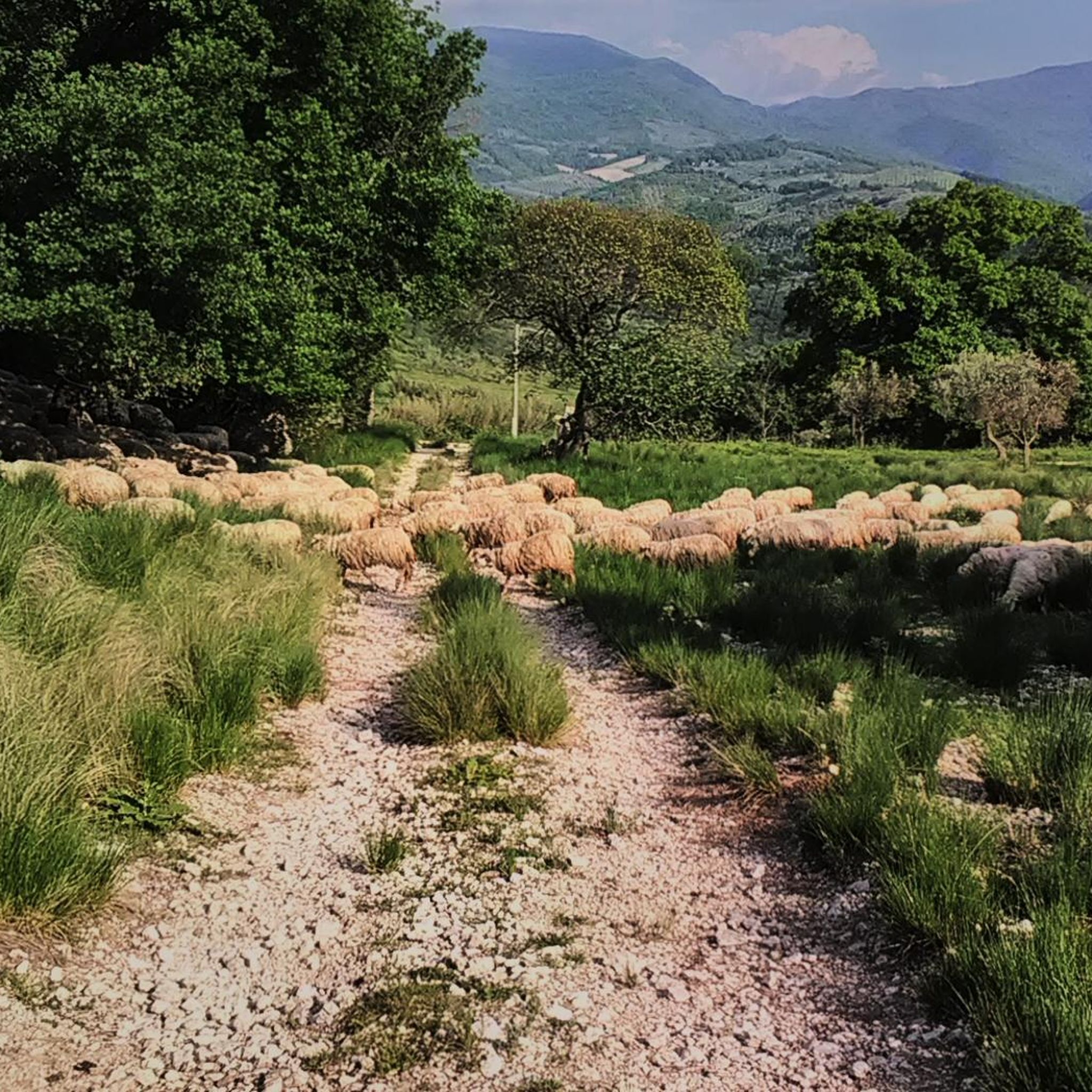
A suggestive and historically significant place in Sabina. A destination to reach by bike in many ways. The only problem from Rome is getting to the area via main roads such as Tiberina and Salaria
0
0

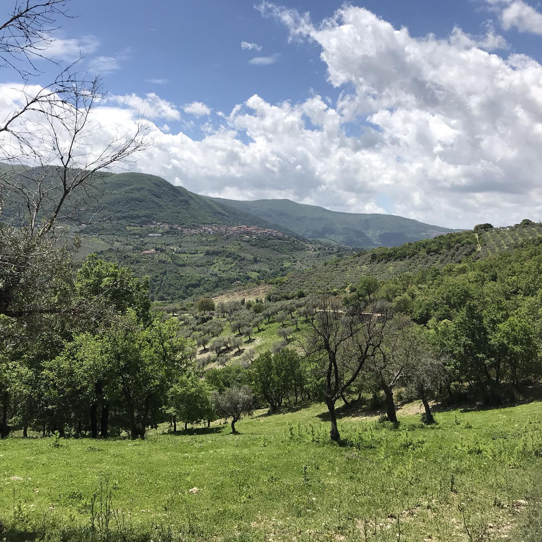
Enchanting views, intense climbs. A little extra attention is needed due to the uneven asphalt and motorcyclists.
0
0

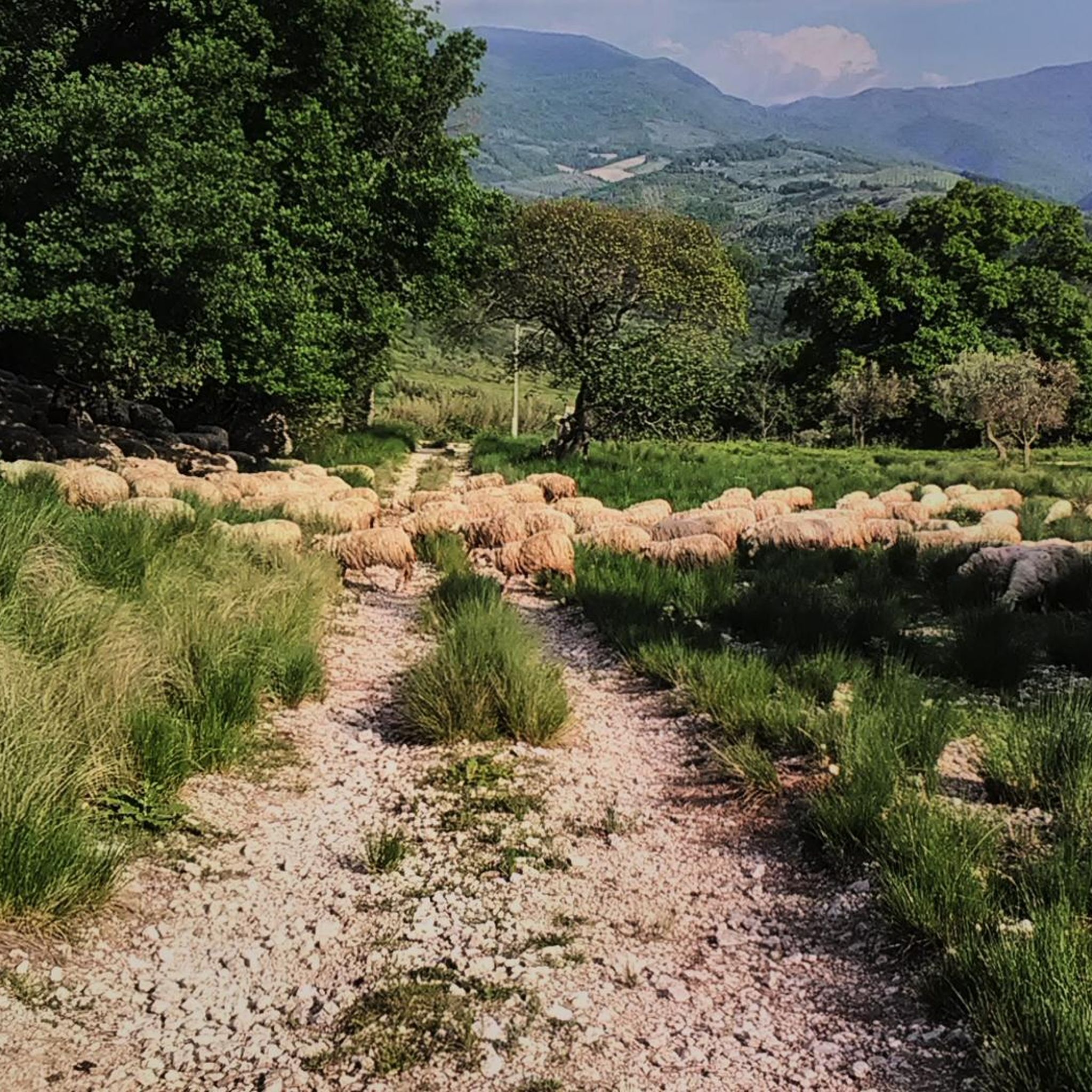
Beautiful village with an abbey that is worth a visit. From Fara Sabina there is a very long singletrack that is very fun to do only by MTB
0
0


Drinking water fountain on the "Via di Francesco"
0
0

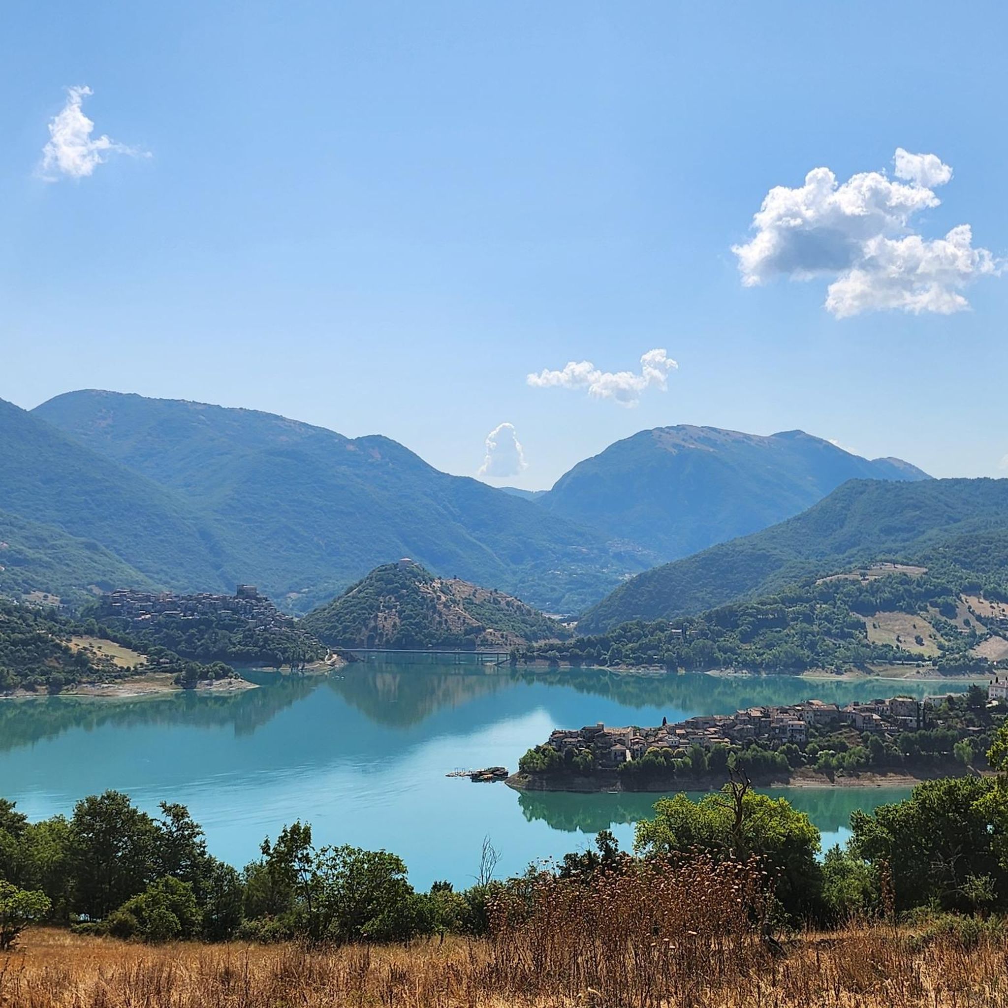
Panoramic place to see the whole country
0
0

beautiful, May 14 feast of San Vittoria
0
0

Frequently Asked Questions
How many hiking trails are available around Scandriglia?
There are over 150 hiking trails in the Scandriglia area, offering a wide range of options for different skill levels and interests within the Monti Lucretili Natural Park.
Are there easy hiking trails suitable for beginners or families in Scandriglia?
Yes, Scandriglia offers several easier routes. There are over 30 easy trails, many of which are suitable for beginners or families. These often traverse gentler slopes or forested paths, allowing for a pleasant outdoor experience without significant elevation gain. For example, some sections of the trails around the lower slopes of Monte Pereatti offer less strenuous options.
Can I find circular hiking routes in the Scandriglia area?
Many of the trails around Scandriglia are designed as loops, allowing you to start and end at the same point. A popular moderate circular route is the Valle Pecorara Fountain – Monte Serrapopolo Summit loop from Scandriglia, which offers rewarding views from Monte Serrapopolo.
What historical or natural landmarks can I see on hikes around Scandriglia?
The region is rich in both natural beauty and historical sites. You can explore the 12th-century Convent of San Nicola on the slopes of Monte Pereatti, or the ruins of the 11th-century San Martino Abbey on Monte Acuziano. For natural features, the area boasts diverse forests and significant peaks like Monte Pellecchia. You can also find historical sites such as the Ruins of Stazzano Vecchio or the Morella Ruins on some routes.
Which trails offer the best panoramic views in Scandriglia?
For expansive views, consider routes that ascend Monte Pellecchia, the highest peak in the Monti Lucretili Natural Park. From its summit, you can enjoy panoramic vistas encompassing the Apennine arc, the Velino-Sirente mountain range, and Lake Turano. The Ara del Pozzo – Summit of Monte Pellecchia loop from Colle la Foresta is a challenging but rewarding option for these views.
Are there any waterfalls to discover while hiking in Scandriglia?
Yes, the Scandriglia area features several beautiful waterfalls. You can find natural highlights like the Rioscuro Stream Waterfalls, the Vallocchie Waterfall, and the Acquaviva Waterfall, which add a refreshing element to your hike.
When is the best time of year to go hiking in Scandriglia?
The spring and autumn months generally offer the most pleasant hiking conditions in Scandriglia, with mild temperatures and vibrant natural colors. Spring brings blooming flora, while autumn showcases rich foliage. Summer can be warm, especially at lower elevations, but higher trails offer cooler air. Winter hiking is possible, particularly on lower routes, but higher elevations may require appropriate gear for snow and ice.
Are dogs allowed on the hiking trails near Scandriglia?
Dogs are generally welcome on trails within the Monti Lucretili Natural Park, but it's always recommended to keep them on a leash, especially in areas with wildlife or near cultivated lands. This helps protect the local fauna, such as porcupines and badgers, and ensures a safe experience for all hikers.
What is the terrain like on Scandriglia's hiking trails?
The terrain around Scandriglia is predominantly mountainous and rugged, characterized by carbonaceous massifs and diverse forests. Trails can range from well-trodden paths through downy oak and beech woodlands to steeper, rockier ascents towards peaks like Monte Serrapopolo and Monte Pellecchia. Expect varied elevation profiles, with some routes involving significant climbs.
Are there any mountain huts or refuges along the trails in Scandriglia?
Yes, for longer or more challenging hikes, particularly those heading towards Monte Pellecchia, the Casa del Pastore Mountain Hut offers a convenient stopping point. It provides a basic refuge for hikers before tackling the more strenuous parts of the ascent.
What do other hikers enjoy most about hiking in Scandriglia?
The area is highly rated by the komoot community, with an average score of 4.4 stars from over 1300 reviews. Hikers often praise the diverse landscapes, the challenging yet rewarding ascents to panoramic viewpoints, and the rich biodiversity of the Monti Lucretili Natural Park. The blend of natural beauty and historical sites also receives positive feedback.
Is there public transport available to reach hiking trailheads in Scandriglia?
While Scandriglia itself is accessible by local bus services, direct public transport to specific remote trailheads within the Monti Lucretili Natural Park can be limited. It's advisable to check local bus schedules in advance or consider driving to reach the starting points of many routes. For general information about the region, you might find resources on the Visit Lazio website.
Most popular attractions around Scandriglia

Get inspired with the komoot mobile app


Explore more
Browse the best Hikes in other regions.
