The best walks and hikes around Oricola
4.4
(301)
1,286
hikers
57
hikes
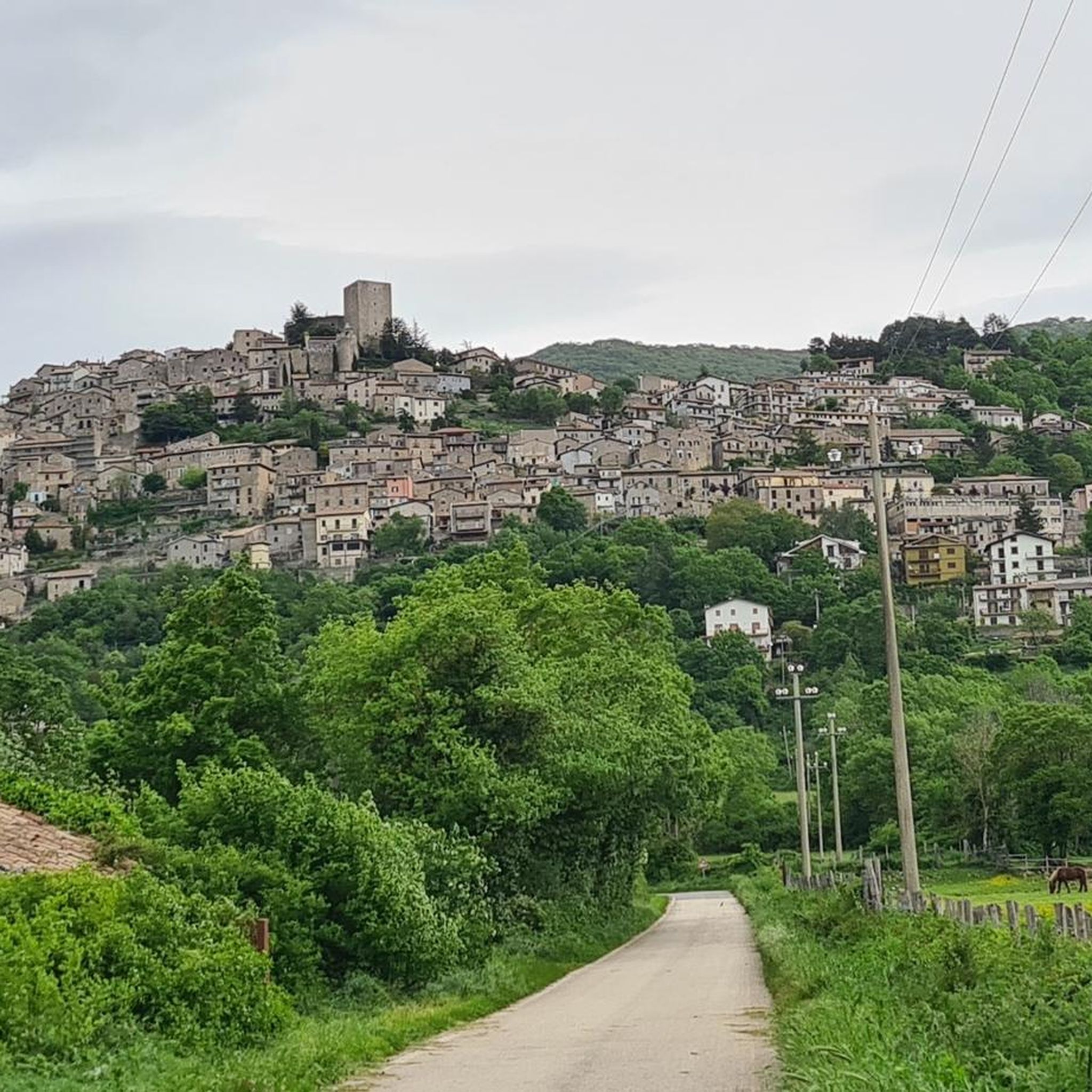
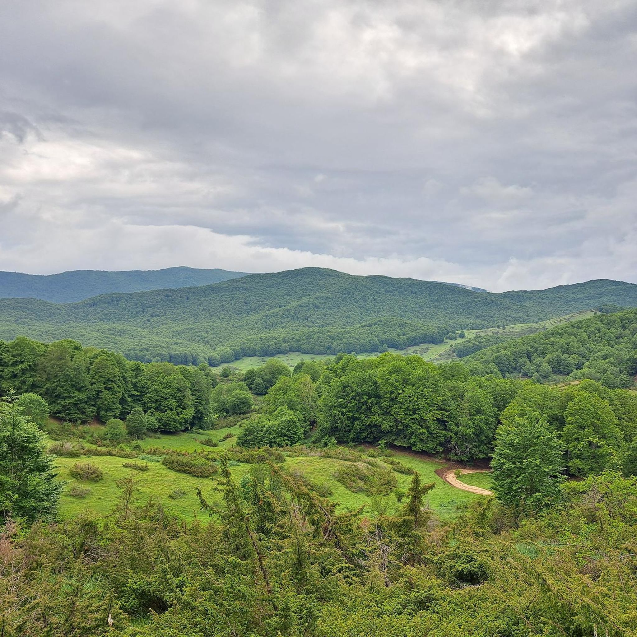
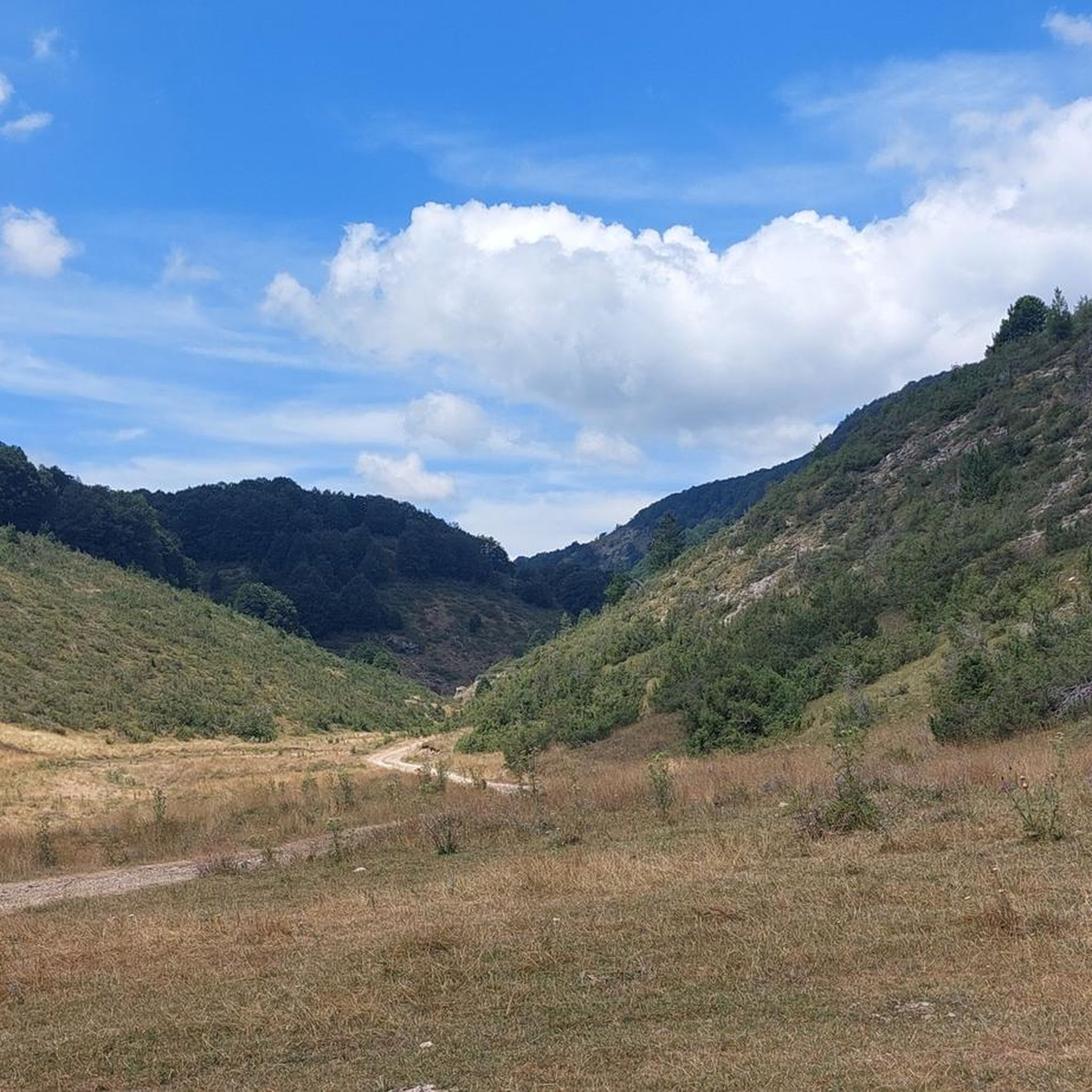
Hiking around Oricola offers diverse terrain in the Abruzzo region, characterized by rolling hills, forested slopes, and open meadows. The landscape features varied elevation changes, from gentle ascents to more challenging climbs, providing panoramic views of the surrounding countryside. Trails often traverse through wooded areas and past historical points, connecting small villages.
Best hiking trails around Oricola
- The most popular hiking route is Old Spring – Cineto Romano loop from Riofreddo, a 6.5 miles (10.4 km) trail that takes…
Last updated: July 5, 2026
4.5
(20)
63
hikers
9.83km
03:14
450m
450m
Moderate hike. Good fitness required. Easily-accessible paths. Suitable for all skill levels.
4.7
(12)
47
hikers
16.4km
05:59
790m
790m
Hard hike. Very good fitness required. Mostly accessible paths. Sure-footedness required.

Sign up for free
3.5
(2)
7
hikers
11.7km
04:29
800m
800m
Moderate hike. Good fitness required. Easily-accessible paths. Suitable for all skill levels.
4.0
(2)
9
hikers
17.4km
05:23
620m
620m
Hard hike. Very good fitness required. Mostly accessible paths. Sure-footedness required.
5.0
(1)
6
hikers
Moderate hike. Good fitness required. Easily-accessible paths. Suitable for all skill levels.
Get access to more routes and recommendations from other explorers.
Sign up for free
Already have an account?
Our route recommendations are based on thousands of hikes, rides, and runs completed by other people on komoot.
Start today with a free account
Your next adventure awaits.
Login or Signup

Tips from the Community

View of Lake Marraone, not reachable because the path is closed due to dangerous banks.
0
0

Cima di Vallevona (1,818 m) is the highest peak in the Carseolani Mountains, a subrange of the Abruzzo Apennines located between Abruzzo and Lazio. The most common route to the summit starts from the Sanctuary of Santa Maria dei Bisognosi, but it can also be reached from Pereto and Camerata Nuova. Less common, but equally fascinating, is the route starting from Marsia, in the municipality of Tagliacozzo.
2
0

Managed mountain refuge, it is possible to stay overnight and eat: call only via WhatsApp which the phone does not receive.
0
0
The observatory was inaugurated on 5 July 2008 and is managed by the astrophile associations ASTRIS and ATA
0
0

wonderful place, the trail is very easy
1
0

Shelter for grazing animals
1
0
The Licenza Valley in medieval times In the early Middle Ages, the Licenza Valley was characterized by the presence of small, scattered settlement units, whose occupants were mainly dedicated to agriculture and pastoralism. The entire valley belonged to the Patrimonium Sancti Petri, divided into two dioceses, that of Sabina and that of Tivoli. Between 960 and 1012 the Crescenzi-Ottaviani family was the protagonist of the process of consolidating the valley, coming into possession of numerous properties, often to the detriment of the Abbey of Farfa, whose decline had begun with the end of the Carolingian empire. With the advent of Otto III of Saxony, the abbey recovered prestige and power, reacquiring a large part of its possessions, including the castrum of Castel del Lago, but it was a relatively short historical interlude. Already in the 12th century, many possessions had once again returned to the possession of the noble aristocracy and, in particular, of the Orsini family, with the exception of the settlements of Petra Demone, which remained in the possession of the abbey, and Castel del Lago, a fiefdom of the Colonna family . The 15th century saw a progressive subdivision of the castra between noble families, the opposite process to that which led to their formation (the castle as the sole center of power); to give an example, the castrum of Castel del Lago was under the influence of three noble families: Colonna, Orsini and Atti of Todi. This is the historical period characterized by a process of abandonment of many settlements, a phenomenon which affected in the Licenza Valley the castras furthest from the Licenza river artery and from the valley bottom roads (Castel del Lago, Macla, Petra Demone, Spogna). In this regard, the French historian Toubert hypothesizes that the strongest castras on a productive and economic level survived and that those initially more powerful due to their strategic position on high ground were progressively depopulated.
0
0
From the Lucretili site: "On the relief overlooking Lake Fraturno, in the Rovine Morella area, the remains of the medieval settlement of Castel del Lago were found. Not much remains of what once must have been an agglomeration of various buildings with a fortification walls: only a wall on the edge of the slope, some minor walls, traces of stone alignments and scattered construction material, all surrounded by vegetation which makes their identification even more problematic. The settlement of Castel del Lago, initially made up of rural houses in no particular order, it was donated to the Abbey of Farfa in the 12th century. Its strategic position, on the watershed between the Aniene and Turano rivers, was at the origin of the aims of the powerful Roman families, who over the centuries alternated as owners of the land.A document from 1116 relating to the Lateran Council testifies how the Abbey of Farfa complained about the usurpation of some assets, including Castel del Lago, which became a fief of the Colonna di Riofreddo family. Granted by Boniface VIII to the Orsini family, it was destroyed in 1492. When the settlement came into the possession of the Borghese family in the 17th century, the area was characterized by the presence of agricultural crops and large spaces now used as pasture".
0
0
Frequently Asked Questions
How many hiking trails are there in Oricola?
Oricola offers a diverse network of nearly 50 hiking trails, catering to various skill levels. You'll find everything from easy strolls to more challenging ascents through forested hills and open meadows.
Are there easy hiking trails suitable for beginners or families in Oricola?
Yes, Oricola has 9 easy hiking routes perfect for beginners or families. An excellent option is the La Locanda dell'Orso – Cervara di Roma loop from Locanda dell'Orso, which is 4.1 miles (6.6 km) long and takes about 2 hours to complete through forested areas.
What kind of terrain can I expect on Oricola's hiking trails?
The terrain around Oricola is quite varied, featuring rolling hills, dense forested slopes, and expansive open meadows. You'll encounter diverse elevation changes, from gentle ascents to more demanding climbs, often leading to panoramic views of the surrounding Abruzzo countryside.
Are there any circular walks available in Oricola?
Many of the trails in Oricola are circular, allowing you to start and end at the same point. For example, the popular Old Spring – Cineto Romano loop from Riofreddo is a moderate 6.5-mile (10.4 km) route that offers varied landscapes in a loop format.
What are some notable landmarks or attractions to see while hiking in Oricola?
While hiking in Oricola, you can discover several interesting landmarks. Consider visiting the serene Lagustelli di Percile, the historic Santa Maria del Piano, or the picturesque Rioscuro Stream Waterfalls. The area also features historical sites like the Morella Ruins and the impressive Massimo Castle of Arsoli.
Is public transport available to reach the hiking trails in Oricola?
Public transport options directly to all trailheads in Oricola can be limited. It is generally recommended to use a car to access the starting points of many routes, especially those in more remote areas, to ensure flexibility and convenience.
What do other hikers enjoy most about hiking in Oricola?
The hiking trails in Oricola are highly regarded by the komoot community, with an average rating of 4.4 stars from over 200 reviews. Hikers frequently praise the diverse landscapes, from forested paths to open meadows, and the opportunity to connect with historical villages along the routes.
Are there any challenging hikes for experienced hikers in Oricola?
Yes, Oricola offers 10 difficult routes for experienced hikers seeking a challenge. A notable difficult trail is the Prato dei frati – Cima la Torretta loop from Pereto, a 10.2-mile (16.5 km) path with significant elevation gain, leading to expansive summit views.
Can I find trails that lead to scenic viewpoints in Oricola?
Absolutely. Many trails in Oricola offer rewarding scenic viewpoints, especially those with higher elevation gains. The Prato dei frati – Cima la Torretta loop from Pereto, for instance, is known for its expansive views from the summit.
What is the best time of year to go hiking in Oricola?
The best time to hike in Oricola is typically during spring (April to June) and autumn (September to October) when the weather is mild and the natural scenery is vibrant. Summers can be warm, while winters in this mountainous region may bring snow, making some trails more challenging or inaccessible.
Are dogs allowed on the hiking trails in Oricola?
Generally, dogs are welcome on most hiking trails in the Oricola area, provided they are kept under control, especially around wildlife and other hikers. It's always a good idea to keep them on a leash and clean up after them to preserve the natural environment.
Are there any long-distance hiking options in Oricola?
While Oricola primarily features day hikes, some routes offer longer distances for those looking for extended walks. For example, the difficult Fontanile of the Monti Lucretili – Lagustelli di Percile loop from Riofreddo covers 11 miles (17.7 km) and takes over 5 hours to complete.
Most popular attractions around Oricola

Get inspired with the komoot mobile app


Explore more
Browse the best Hikes in other regions.
