The best walks and hikes around Marsicovetere
4.5
(75)
453
hikers
36
hikes
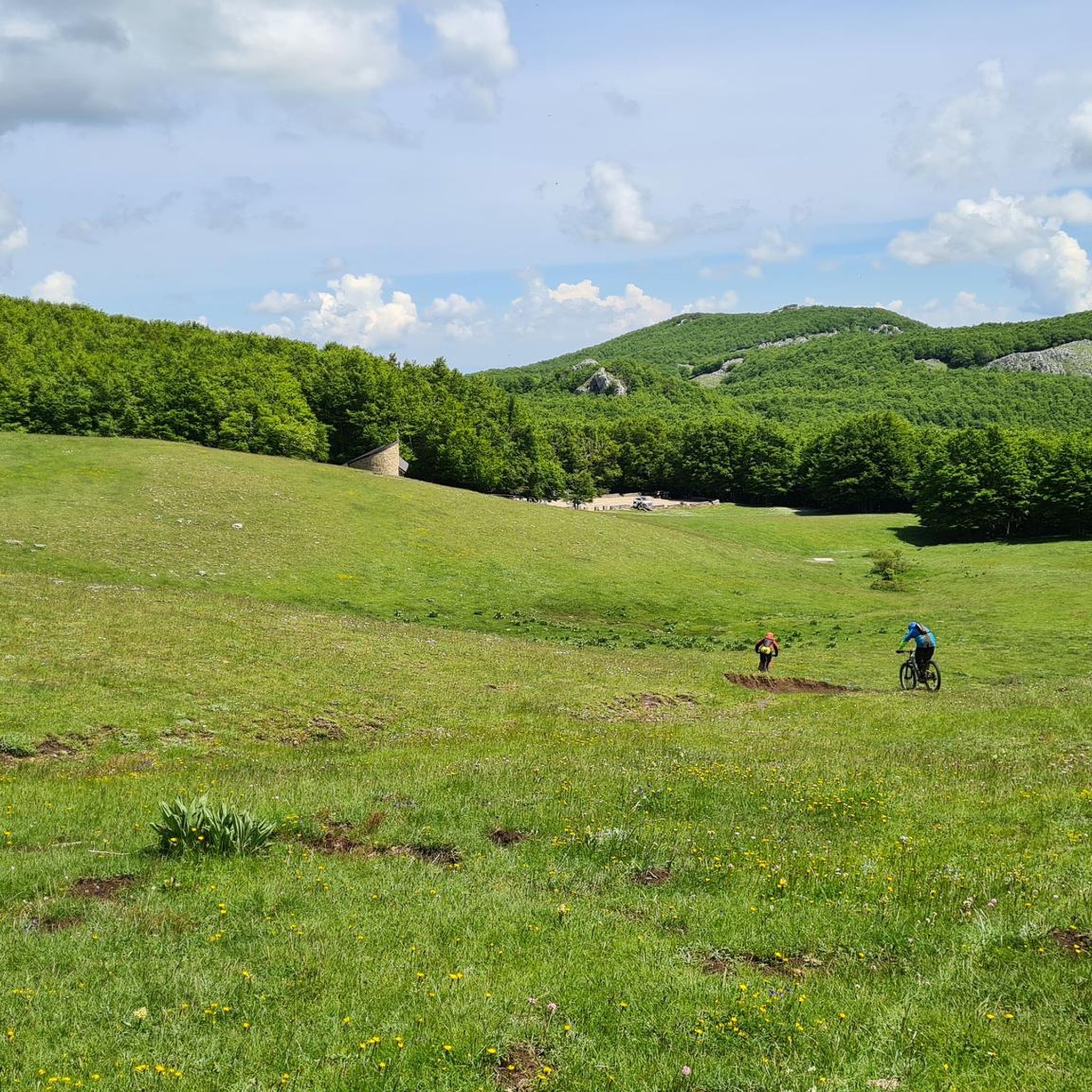
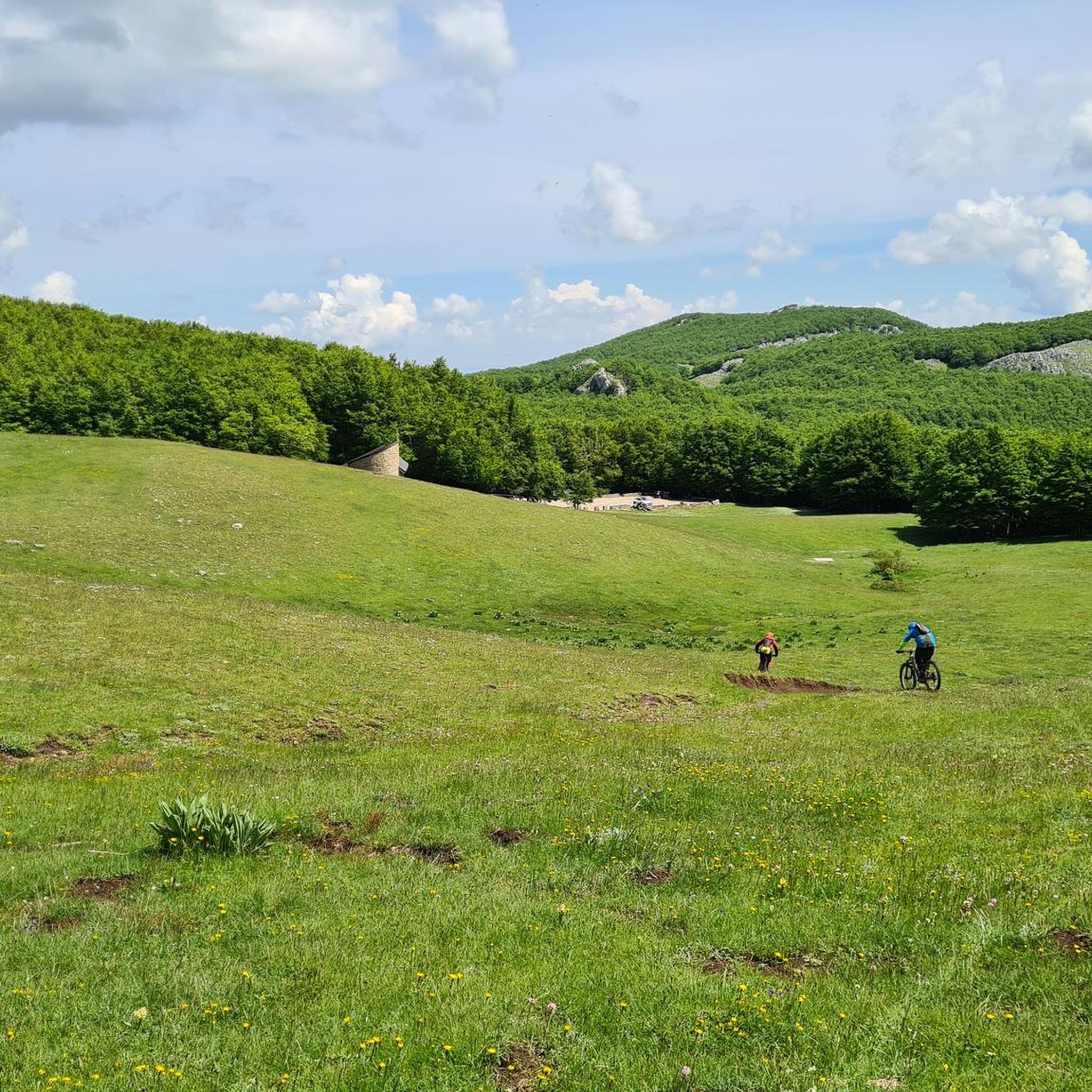
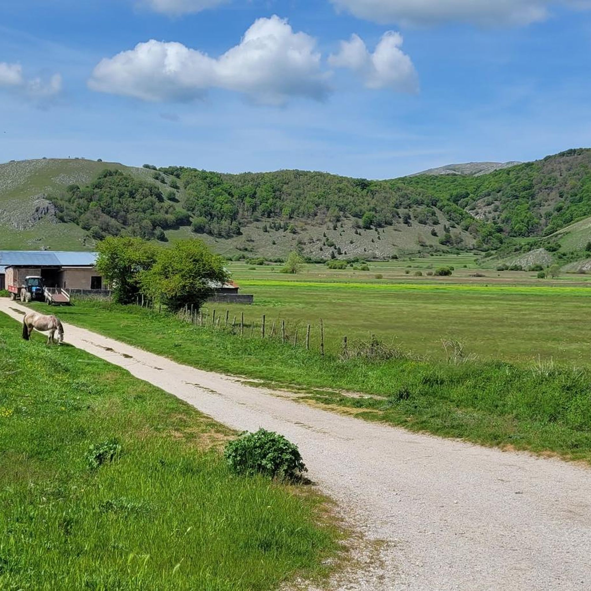
Hiking around Marsicovetere offers diverse landscapes within Italy's Lucano Val d'Agri Lagonegrese Apennine National Park. The region is characterized by green hills, majestic mountains, lush forests, and expansive flower-filled meadows. Situated approximately 800 meters above sea level, the area provides panoramic views of surrounding valleys and mountains, including the Val d'Agri from Monte Vulturino.
Best hiking trails around Marsicovetere
- The most popular hiking route is Trail to Monte Volturino, a 2.2 miles (3.5 km) trail that takes 1 hour…
Last updated: July 7, 2026
5.0
(3)
57
hikers
3.13km
01:07
190m
190m
You will hike through diverse mountainous terrain, enjoying expansive views of the green Val d'Agri valley with its mountain peaks, wooded slopes, and cultivated fields. The path guides you through…
4
hikers
3.52km
01:23
260m
260m
Hike the easy 2.2-mile (3.5 km) Monte Volturino trail in Appennino Lucano National Park for panoramic views and a summit experience.

Sign up for free
4.2
(6)
33
hikers
6.58km
02:40
510m
510m
Moderate hike. Good fitness required. Easily-accessible paths. Suitable for all skill levels.
3.7
(6)
17
hikers
17.3km
06:09
1,000m
1,000m
Hard hike. Very good fitness required. Easily-accessible paths. Suitable for all skill levels.
5.0
(2)
27
hikers
5.96km
02:01
320m
320m
Moderate hike. Good fitness required. Easily-accessible paths. Suitable for all skill levels.
Get access to more routes and recommendations from other explorers.
Sign up for free
Already have an account?
Our route recommendations are based on thousands of hikes, rides, and runs completed by other people on komoot.
Start today with a free account
Your next adventure awaits.
Login or Signup

Tips from the Community

the hike is marked but not enough, but let's say it's very easy to orient yourself just go straight. it's a fairly open path, only a small stretch covered by trees, so when it's hot it's better to bring a hat. bring something to eat because I don't think there were any refreshment points. fantastic place with a peaceful atmosphere. the day I went, which was June, there were a few insects, but they were harmless.
0
0

Hi, can you follow this trail on an ebike to get to the Volturino? Thank you
0
0

It is the Sacro Monte of Viggiano, at 1725 m above sea level, the place where the most important Marian sanctuary in the region stands, the one dedicated to the Black Madonna, queen of Viggiano, officially proclaimed "Protector" of Basilicata in 1991 by Pope John Paul II. Holiday The celebrations in honor of the Black Madonna are divided into two moments of the year: on the first Sunday of May the statue is brought, inside a shrine, from the center of Viggiano to the sanctuary of the mountain. On the first Sunday of September, the statue does the reverse route. This celebration is preceded by a procession (of the pilgrim) held on the previous Saturday.
1
0

This route is also very beautiful, Basilicata offers experiences, a beautiful panorama
0
0

The last stretch of the route that leads to the top (following the no longer functioning ski slopes) is quite challenging, but once you reach the top the spectacle is unparalleled! Also worth visiting is the Belvedere di Piano dell'Imperatore, it's worth it!
0
0

Beautiful little village perched on the mountain slope.
0
0
Monte Volturino is one of the symbolic peaks of the Lucanian Apennine Park. From here it is possible to admire a wonderful view over the whole valley.
1
0
The path to Monte Volturino plunges into a wonderful forest, capable of giving fairy-tale glimpses to anyone who passes by.
0
0
Frequently Asked Questions
How many hiking trails are available in Marsicovetere?
There are over 10 hiking routes around Marsicovetere, offering a range of experiences from easy walks to more challenging mountain loops. You'll find options suitable for various fitness levels.
What kind of terrain can I expect on hikes around Marsicovetere?
Hikes in Marsicovetere traverse diverse landscapes, including green hills, lush forests, and expansive flower-filled meadows. You'll also encounter majestic mountains, offering panoramic views of the Val d'Agri, especially from the slopes of Monte Vulturino.
Are there easy hiking options suitable for beginners or families?
Yes, Marsicovetere offers 3 easy hiking routes. One notable easy trail is the Piani del Mattino Trail, which winds through ancient forests and is ideal for picnics. For a specific route, consider the Trail to Monte Volturino, which is 2.2 miles long and takes about 1 hour 23 minutes.
What are some interesting landmarks or attractions to see while hiking in Marsicovetere?
Beyond the natural beauty, you can explore several points of interest. The historic center of Marsicovetere itself is a medieval village with stone streets and ancient buildings. Nearby, you might encounter the Monte Volturino summit, or the Sanctuary of the Black Madonna of Viggiano. The Monte Arioso is another prominent peak in the vicinity.
Are there any circular hiking routes in the area?
Yes, there are several circular routes. For a moderate experience, the Monte Volturino – Trail to Monte Volturino loop from SIC Monte Volturino is a 3.2-mile path. For experienced hikers seeking a longer challenge, the Monte Volturino – Monte Volturino loop from Marsicovetere spans over 10 miles with significant elevation gains.
What is the best time of year to go hiking in Marsicovetere?
The region's lush forests and flower-filled meadows suggest that spring and early summer offer vibrant scenery. Autumn would also be beautiful with changing foliage. While specific seasonal advice isn't available, the varied terrain makes it suitable for hiking across multiple seasons, though winter might present more challenging conditions at higher elevations like Monte Volturino.
What do other hikers enjoy most about hiking in Marsicovetere?
The hiking routes in Marsicovetere are highly rated by the komoot community, with an average score of 4.5 stars from over 60 reviews. Hikers often praise the diverse terrain, from green hills to mountain ascents, and the panoramic views of the Val d'Agri.
Are there accommodations or places to eat near the hiking trails?
Yes, after a long hike, the Rifugio Monte Volturino offers a place to rest, enjoy local dishes, and even stay overnight. The medieval village of Marsicovetere itself also provides amenities and a chance to explore its historic charm.
Are there any trails that offer particularly scenic views?
Many trails in Marsicovetere offer spectacular views due to its elevation and location on the southern slope of Monte Vulturino. Routes leading towards Monte Volturino consistently provide beautiful panoramic glimpses of the Val d'Agri and unforgettable sunsets.
What is the highest point I can reach on a hike in Marsicovetere?
The region is characterized by majestic mountains, with Monte Volturino being a prominent feature. More strenuous routes, such as the ascent from Sorgente Copone, can lead you to Monte Volturino and even further to Monte Calvelluzzo, offering significant elevation gains and expansive views.
Is there parking available at the trailheads?
While specific parking details for every trailhead are not provided, Marsicovetere is an accessible destination. It is generally advisable to check local information or maps for designated parking areas near popular starting points, especially for trails originating close to the village or specific natural parks.
Most popular attractions around Marsicovetere

Get inspired with the komoot mobile app


Explore more
Browse the best Hikes in other regions.
