The best cycling routes around Pösing
4.5
(2030)
9,492
riders
26
rides
Touring cycling routes around Pösing, Germany, are characterized by the scenic Regen river valley and its surrounding natural features. The region encompasses the Regentalaue nature reserve, featuring wet meadows, flowing waters, and diverse habitats. Routes often traverse forests and varied terrain, including the local Pösinger Bierl hill. The landscape provides a mix of riverine paths, elevated sections, and natural bathing ponds.
Best touring cycling routes around Pösing
- The most popular touring cycling route is View of Reichenbach Monastery – View…
Last updated: July 5, 2026
4.6
(19)
90
riders
89.5km
05:29
580m
580m
Hard bike ride. Very good fitness required. Mostly paved surfaces. Suitable for all skill levels.
4.1
(13)
44
riders
11.9km
00:42
70m
70m
Easy bike ride. Great for any fitness level. Mostly paved surfaces. Suitable for all skill levels.

Sign up for free
5.0
(1)
32
riders
Hard bike ride. Very good fitness required. Mostly paved surfaces. Suitable for all skill levels.
4.7
(10)
17
riders
39.6km
02:31
410m
410m
Moderate bike ride. Good fitness required. Mostly paved surfaces. Suitable for all skill levels.
4.7
(6)
20
riders
24.1km
01:29
220m
220m
Moderate bike ride. Good fitness required. Mostly paved surfaces. Suitable for all skill levels.
Get access to more routes and recommendations from other explorers.
Sign up for free
Already have an account?
Our route recommendations are based on thousands of hikes, rides, and runs completed by other people on komoot.
Start today with a free account
Your next adventure awaits.
Login or Signup

Tips from the Community

the large water wheel is clearly visible from the rain bridge
0
0
beautiful, almost car-free market square. The fountain has something in it. Those who don't know might get wet
0
0

Plague Cross This is a plain cross without any markings; it has a rough, porous surface and a faint suggestion of the Iron Cross shape. It is believed to be a plague cross, marking the extent of the plague's spread during the Middle Ages. It is located near the entrance to the Wetterfeld Castle ruins. Originally, it stood on Federal Highway 85, opposite the Wetterfeld town entrance. The cross had to be moved during road construction. Today, the roundabout above the tunnel occupies the former location. Source: www.kreuzstein.eu
2
0
Plague Cross This is a plain cross without any markings; it has a rough, porous surface and a faint suggestion of the Iron Cross shape. It is believed to be a plague cross, marking the extent of the plague's spread during the Middle Ages. It is located near the entrance to the Wetterfeld Castle ruins. Originally, it stood on Federal Highway 85, opposite the Wetterfeld town entrance. The cross had to be moved during road construction. Today, the roundabout above the tunnel occupies the former location. Source: www.kreuzstein.eu
2
0
Wetterfeld Castle Ruins As early as 1118, Gottfried von Wetterfeld appears as an influential ministerialis (unfree knight) of the Diepoldings, the powerful Margraves of Cham and Vohburg. He seems to have maintained good relations with many monasteries, especially Reichenbach Abbey—no wonder, since Abbot Reginboto was his brother. Numerous donations to various monasteries by Gottfried are documented, a widespread practice among knights to secure their salvation. In a donation from 1155, Heinrich is even mentioned as an imperial ministerialis, which demonstrates the family's rapid political rise. In 1179, Karl and Heinrich "de Weterinfeld" appear, after which the family disappears from the historical record. It is not until 1268 that we hear of a Deinhardus, who is now subject to the Bavarian dukes; perhaps they lost their independence with the inheritance of the Hohenstaufen dynasty. From 1283 onward, the Wittelsbachs sent judges to Wetterfeld. Ducal ministeriales from the surrounding area succeeded in office: Hauzendorfer, Katzdorfer, Zenger, and others. In 1322, it was pledged to the Chamerau family. In 1329, Wetterfeld came under the control of the Palatine line of the Wittelsbachs, who also appointed judges. In 1410, it passed to the sub-principality of Neumarkt-Neunburg, with the Degenberger, Nothaft, and Zenger families, among others, serving as administrators. During the Hussite raids of 1428 and 1433, the castle was destroyed and subsequently rebuilt. A unique feature of Wetterfeld is the four "castle guards"—four legally independent building complexes within the castle, which were granted separately—making the ownership situation quite complex. In 1621, during the Thirty Years' War, the Upper Palatinate, including Wetterfeld, came under the rule of Duke Maximilian of Bavaria. Later in the war, Wetterfeld was destroyed twice by the Swedes and subsequently rebuilt. But the castle and its buildings continued to deteriorate, and the administrators increasingly relocated their offices outside the castle. In 1812, the administrative office was moved to Roding, the castle grounds were subdivided, and private houses were built over. Wetterfeld is a moated castle—a branch of the Regen River bordered the complex to the northeast. The still clearly visible, deep, walled moat could be filled with sluice gates in case of attack. Essentially, only the large gate tower, built of rubble stone with corner quoins, remains. Its upper, habitable floors make it a variation of the late medieval residential tower. Source: www.burgenseite.de
1
0
St. Ulrich's Branch Church The Roman Catholic, listed former castle chapel and current branch church of St. Ulrich stands in Wetterfeld, a district of the town of Roding. The hall church was built in 1518 and enlarged in 1730. It consists of a nave with a three-sided apse at the east end. A bell tower rises from the roof on the east side, its hexagonal upper section, topped with an onion dome, housing the bell frame. The interior is spanned by a cross vault. The church furnishings include a Rococo-style high altar flanked by four columns. It depicts St. Ulrich, Bishop of Augsburg, who played a key role in the victory over the Hungarians at the Battle of Lechfeld (955), and St. Wolfgang, Bishop of Regensburg. St. Ulrich's symbol is a fish, a reference to the legend that a piece of goose transformed into a fish. The relief on the northeast wall, dating from the Late Gothic period, depicts the saint again (only reframed). Besides these political bishops, the saint in the excerpt, Aloysius Gonzaga, has a more educational significance. Depicted with a cross and lily stalk, he is the saint of purity and was recommended as a role model for young people. The Stations of the Cross in the branch church are also noteworthy. Source: www.wikipedia.de / www.pfarrei-roding.de
2
0

Location as already described.
0
0

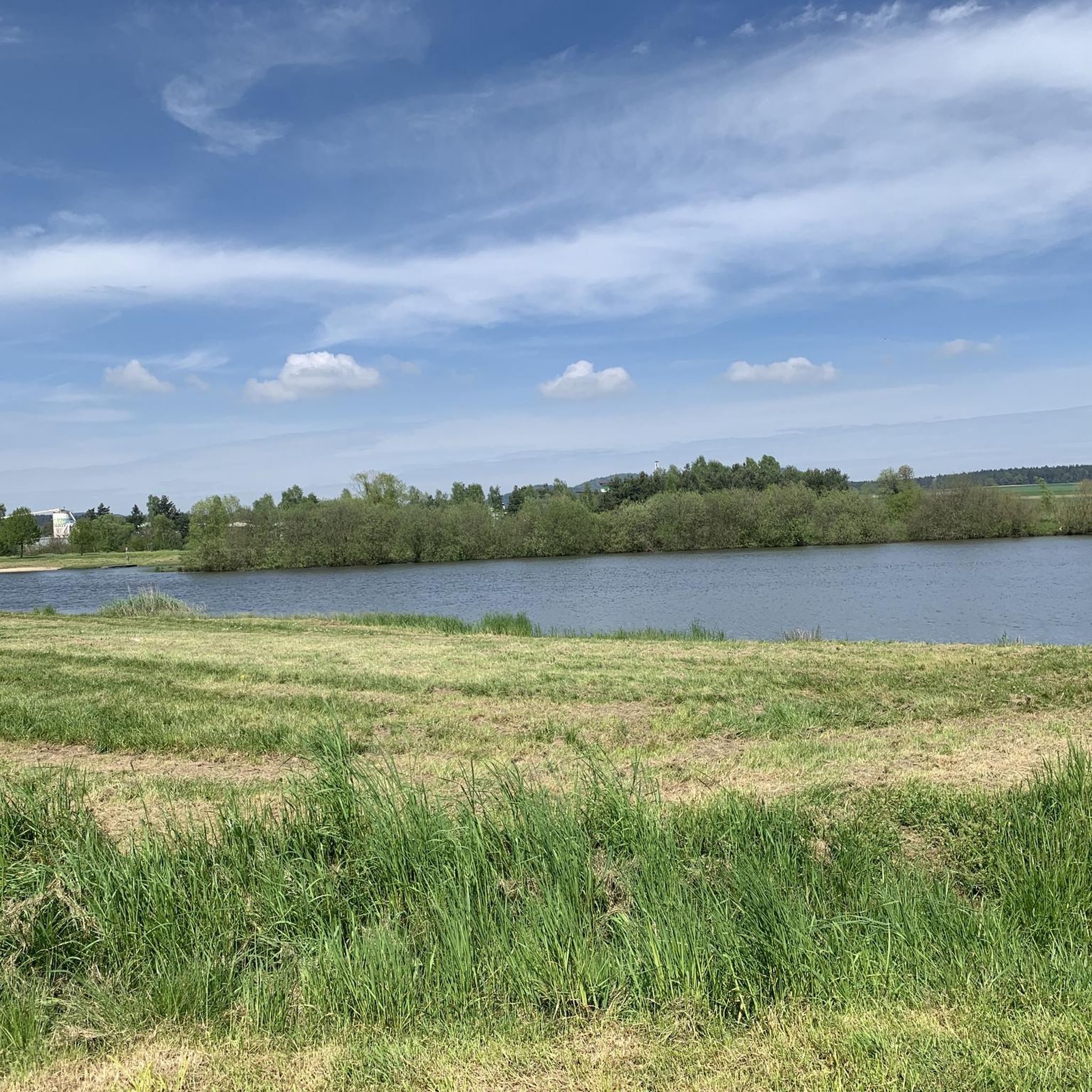
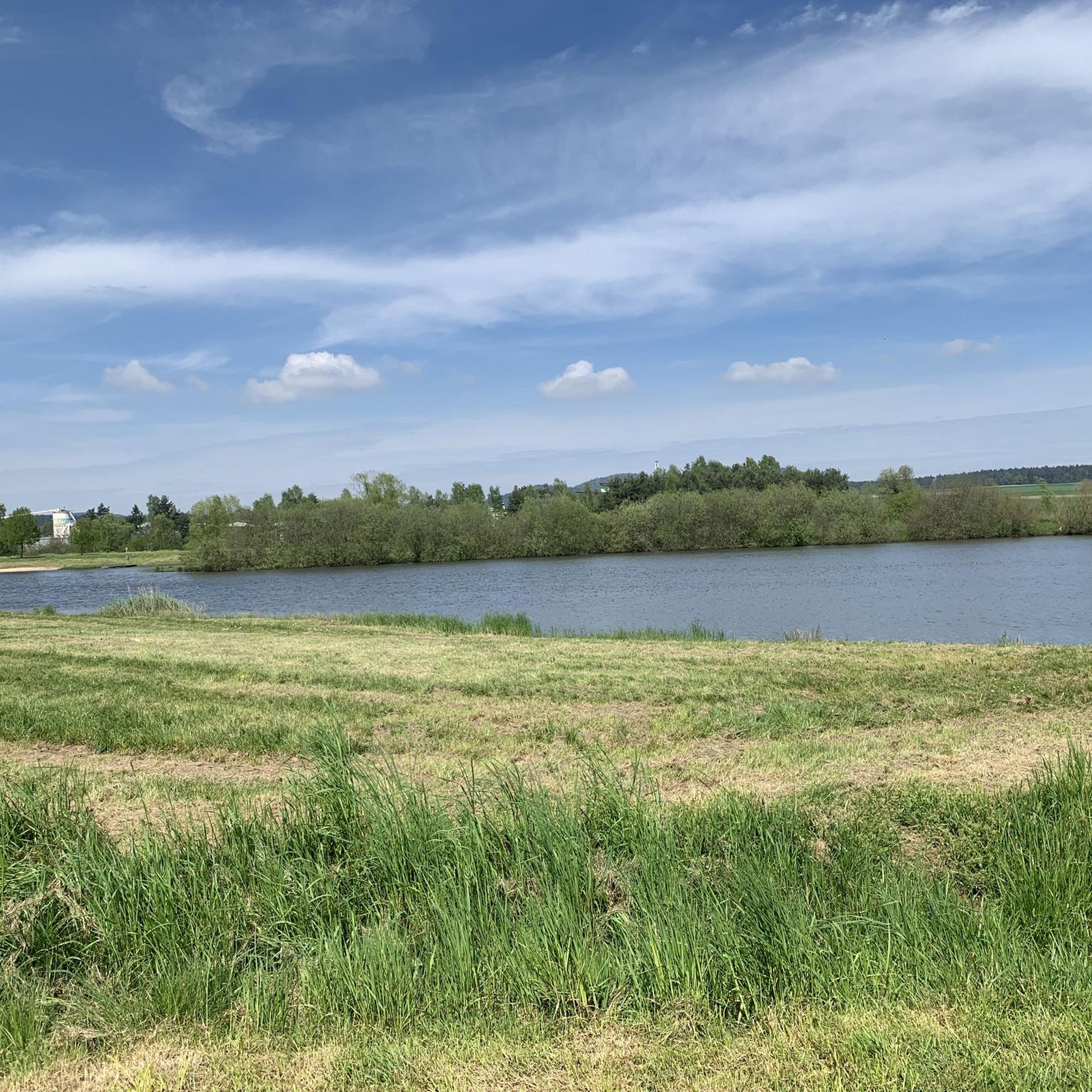
This is a beautiful section of the Schwarzachtal Cycle Route! The trail leads through rocky outcrops and idyllic natural scenery. Along with the section west of the reservoir, this section is arguably one of the most beautiful on the Schwarzachtal Cycle Route! Photo stops are a must here.
2
0
Frequently Asked Questions
How many touring cycling routes are available around Pösing?
There are over 25 touring cycling routes around Pösing, offering a diverse range of options for cyclists. These include easy riverside paths, moderate routes, and more challenging tours with significant elevation gain.
Are there any easy touring cycling routes suitable for beginners or families in Pösing?
Yes, Pösing offers several easy touring cycling routes. A great option is the Regen River Bridge in Roding – Wetterfeld Castle Ruins loop from Pösing, which is 12.0 km long and follows the gentle course of the Regen river, making it ideal for a relaxed ride.
What kind of landscapes can I expect to see while touring cycling in Pösing?
Pösing's touring cycling routes primarily feature the scenic Regen river valley, extensive nature reserves like the Regentalaue, and forested areas. You'll encounter wet meadows, flowing waters, and varied terrain, including the local Pösinger Bierl hill, offering a mix of riverine paths and elevated sections.
Are there any historical sites or castles I can visit along the cycling routes?
Absolutely. Pösing's routes often incorporate historical landmarks. For example, the Kürnburg Castle Ruins – View of the Eixendorfer Reservoir loop from Pösing takes you past the Kürnburg Castle Ruins. Another route, the Regen River Bridge in Roding – Wetterfeld Castle Ruins loop from Pösing, passes by the Wetterfeld Castle Ruins. Other nearby castles include Buchberg Castle Ruins and Stamsried Castle.
Are there any circular touring cycling routes in Pösing?
Many of the touring cycling routes around Pösing are designed as loops, offering convenient circular journeys. An example of a challenging circular route is the View of Reichenbach Monastery – View of the Regen Valley loop from Pösing, which covers 71.1 km with expansive views.
What do other touring cyclists say about the routes in Pösing?
The touring cycling routes in Pösing are highly regarded by the komoot community, with an average rating of 4.6 stars from over 75 reviews. Cyclists often praise the diverse terrain, scenic views of the Regen Valley, and the well-maintained paths that cater to various skill levels.
Are there any routes that include natural bathing spots or lakes?
Yes, you can find routes that pass by refreshing natural bathing spots. The Pösinger bathing pond – Cham Market Square loop from Pösing is a moderate 38.7 km route that includes the Pösinger bathing pond, perfect for a break. Other nearby lakes include Satzdorfer Lake and Pfahlsee.
What is the best time of year to go touring cycling in Pösing?
Pösing is generally enjoyable for touring cycling from spring through autumn. The warmer months offer pleasant weather for exploring the Regen Valley and its natural features. Always check local weather conditions before heading out.
Are there any challenging touring cycling routes for experienced riders?
Experienced touring cyclists will find several challenging routes in Pösing. For instance, the Weißenregen Pilgrimage Church – Lake Blaibach loop from Pösing is a difficult 96.0 km route with significant elevation changes, offering a demanding yet rewarding experience.
Can I find routes that offer viewpoints or panoramic vistas?
Many routes in Pösing provide excellent viewpoints, especially those that traverse elevated sections or the Pösinger Bierl hill. The View of Reichenbach Monastery – View of the Regen Valley loop from Pösing is specifically known for its expansive views across the Regen Valley. You can also visit the Observation Tower at Neubäuer Pond for panoramic sights.
What is the typical duration for a touring cycling route in Pösing?
The duration of touring cycling routes in Pösing varies greatly depending on the distance and difficulty. Easy routes, like the 12.0 km Regen River Bridge in Roding – Wetterfeld Castle Ruins loop from Pösing, can be completed in under an hour. More difficult routes, such as the 71.1 km View of Reichenbach Monastery – View of the Regen Valley loop from Pösing, typically take around 4 hours and 48 minutes.
Most popular attractions around Pösing

Get inspired with the komoot mobile app


Explore more
Browse the best Cycling routes in other regions.
