The best cycling routes around Rogliano
4.4
(97)
687
riders
28
rides
Touring cycling routes around Rogliano traverse a landscape characterized by significant elevation changes, encompassing mountainous terrain and large freshwater lakes. The region features routes that climb through forested areas, offering views of the Sila plateau and its water bodies. Paths often connect natural landmarks with historic towns, providing varied cycling experiences. The terrain is generally challenging, with numerous difficult routes.
Best touring cycling routes around Rogliano
- The most popular touring cycling route is Lorica and Lake Arvo – The Terrace…
Last updated: June 24, 2026
4.5
(21)
102
riders
43.4km
02:55
710m
710m
Hard bike ride. Very good fitness required. Mostly paved surfaces. Suitable for all skill levels.
4.5
(12)
71
riders
125km
08:39
1,990m
1,990m
Hard bike ride. Very good fitness required. You may need to push your bike for some segments of this route.

Sign up for free
5.0
(3)
28
riders
45.5km
02:43
360m
360m
Moderate bike ride. Good fitness required. Mostly paved surfaces. Suitable for all skill levels.
7
riders
58.6km
04:15
1,260m
1,260m
Hard bike ride. Very good fitness required. Mostly paved surfaces. Suitable for all skill levels.
5.0
(1)
7
riders
35.0km
02:26
660m
660m
Hard bike ride. Very good fitness required. Mostly paved surfaces. Suitable for all skill levels.
Get access to more routes and recommendations from other explorers.
Sign up for free
Already have an account?
Our route recommendations are based on thousands of hikes, rides, and runs completed by other people on komoot.
Start today with a free account
Your next adventure awaits.
Login or Signup
Popular around Rogliano
Tips from the Community

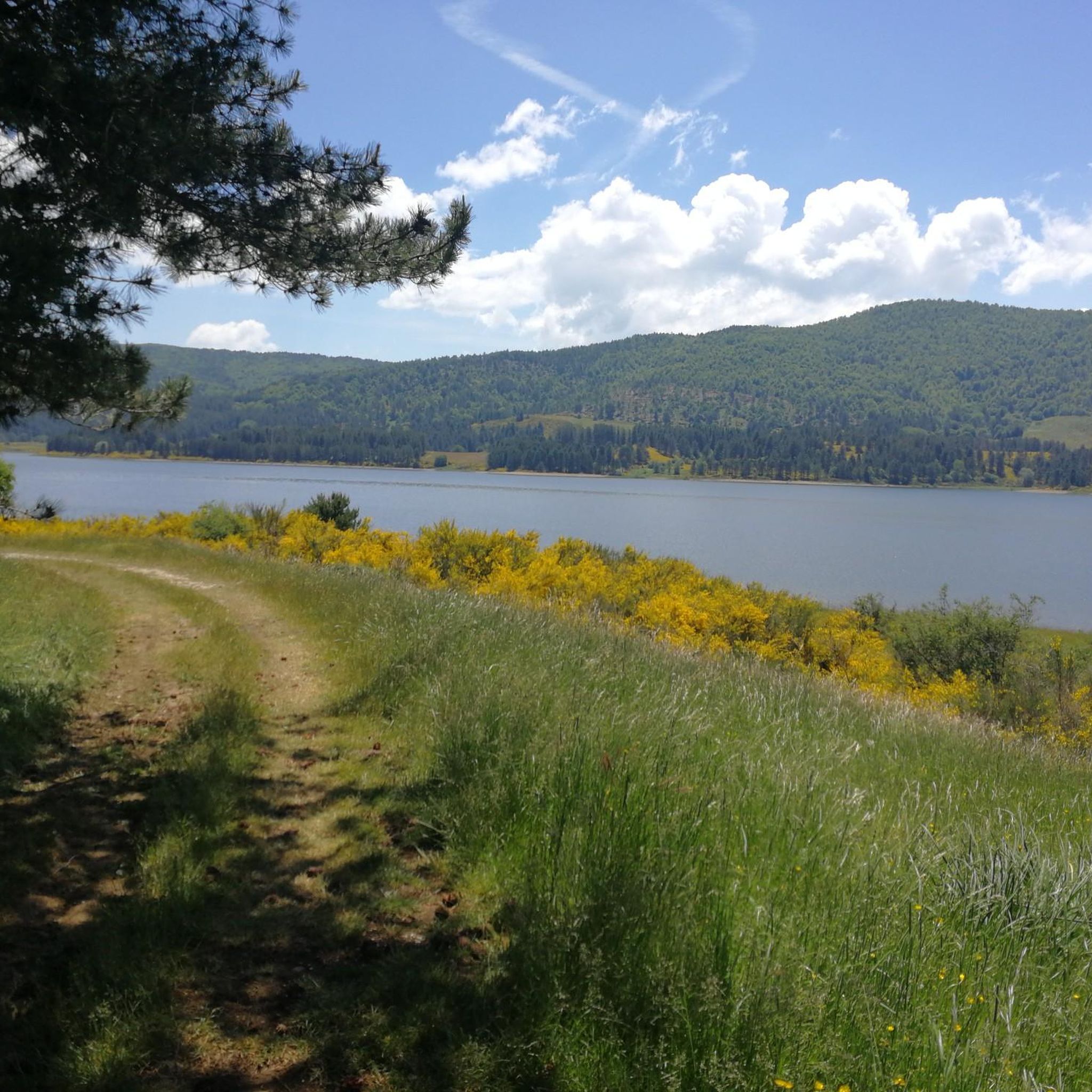
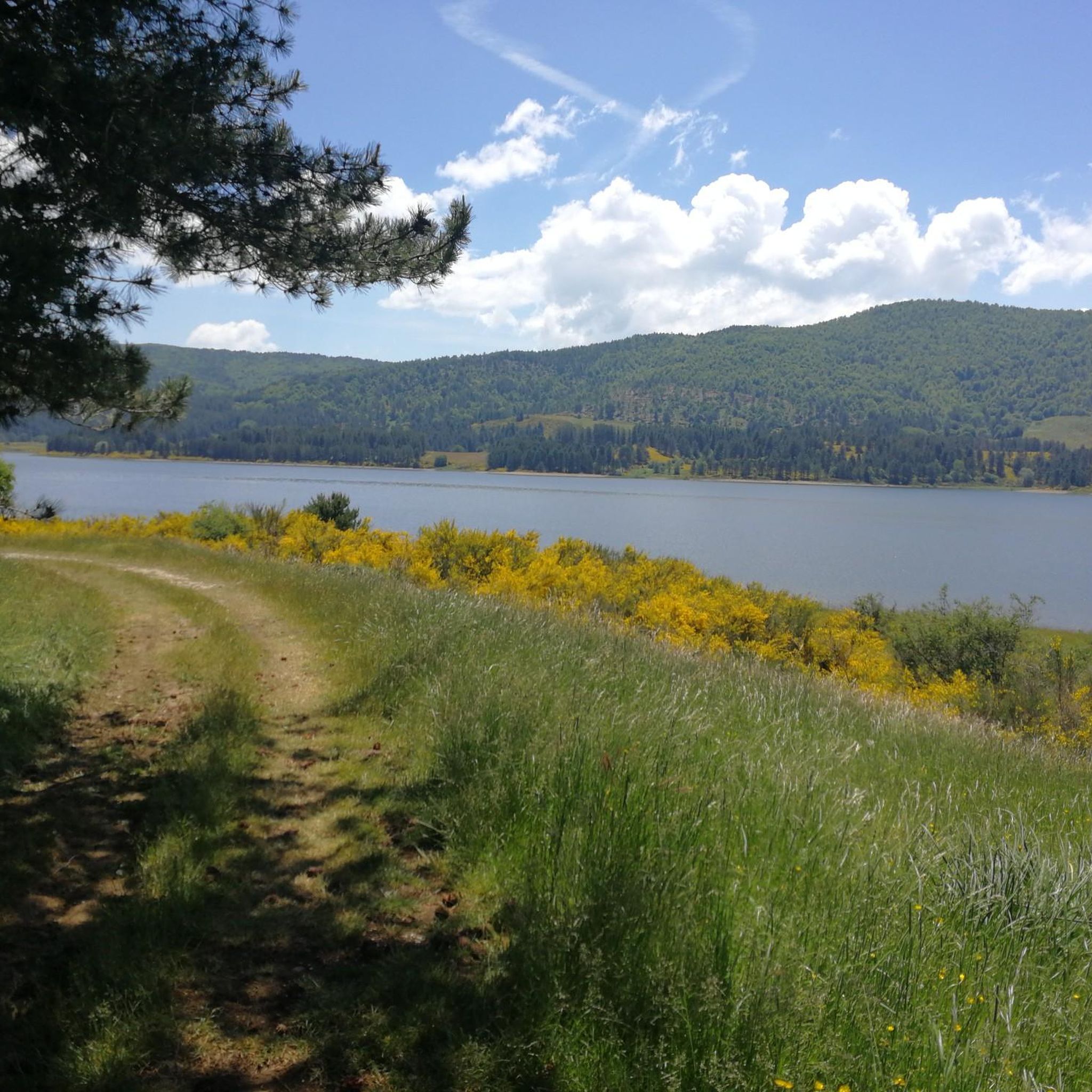
Lorica, in the heart of the Sila National Park, on Lake Arvo
0
0

A tiny village with a charmingly abandoned feel, consisting of a few houses and a church. There's a restaurant and a fountain with a picnic area for refreshments.
0
0

Among the three large Calabrian lakes of the Sila, the Ampollino is certainly the least contaminated and consequently the most authentic to be appreciated by lovers of nature and landscapes.
0
0
A very unique village, typically rural and deeply Sila. You'll find fountains, bars, and a few restaurants. The potato festival, a specialty of this area, is wonderful.
0
0

In summer, you can take advantage of numerous cycling routes that lead through diverse landscapes - from mountain spruce forests to water areas of lakes. In winter, the area is home to the Camigliatello Silano ski resort, which attracts skiing and winter sports enthusiasts with its well-prepared facilities and picturesque location in the Sila massif. This is a place more for local skiing enthusiasts and beginners who want to combine active recreation with a vacation in the warm climate of Calabria. If you are looking for more serious skiing routes, you have to go further north in Italy or to the Alps. In Calabria, on the other hand, you will certainly appreciate nature, peace and a unique mountain climate.
1
0
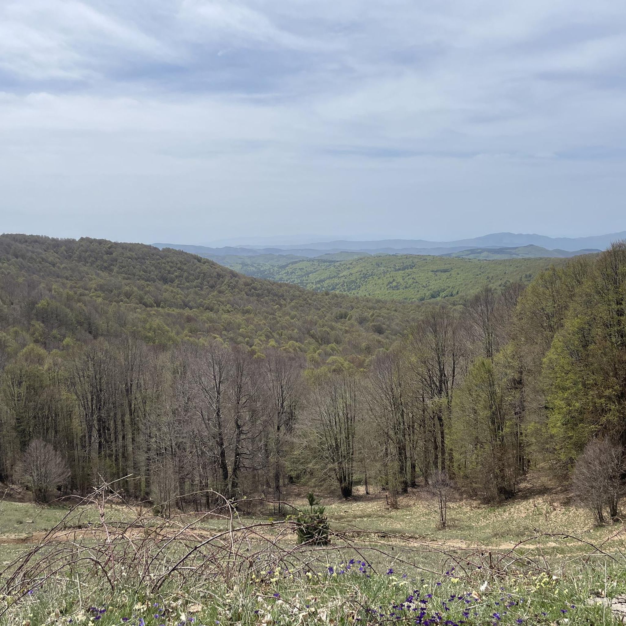
The Ampollino Valley is surrounded by the mountains of the Sila massif, with clearly distinguishable peaks: Scorciavuoi (1627 m above sea level), Gariglione (1623 m above sea level), Zingomarro (1463 m above sea level) and Monte Nero (1747 m above sea level). There are extensive pine, beech and fir forests here, creating a Mediterranean mountain landscape characteristic of the region. The central element of the valley is the artificial reservoir Lago Ampollino, created by a dam (diga) on the Ampollino River. The shores of the lake are overgrown with reed beds and water lilies, and in the area you can see wild animals - deer, wild boars, waterfowl and birds of prey.
1
0
If you’re looking for Calabria off the beaten track, Lorica offers a completely different experience – mountainous, cool and relaxing.
1
0
Temperatures here are up to 10°C lower than on the coast, making Lorica a natural air conditioner. The region offers dozens of kilometres of trails, from family walks to technical single-track mountain biking. It lies within the Parco Nazionale della Sila, a UNESCO biosphere reserve with endemic plants and animals. There are a surprising number of modernist hotels and villas from the 1960s (a legacy of the ambitious plan to make Lorica Calabria’s Alpine resort) and a modern gondola that takes tourists up the Botte Donato ridge (for skiers in winter, for the views in summer). The lack of mass tourism means that even in August you can find peace and quiet.
1
0
Frequently Asked Questions
How challenging are the touring cycling routes around Rogliano?
The touring cycling routes around Rogliano are generally quite challenging due to the mountainous terrain and significant elevation changes. Out of 28 available routes, 21 are classified as difficult, and 6 as moderate. There is only 1 easy route available, making the region more suited for experienced cyclists.
What is the typical length or duration of touring cycling routes in Rogliano?
Routes vary in length and duration. For example, the popular Lorica and Lake Arvo – The Terrace on Lake Arvo loop from Poverella is 27.4 miles (44.2 km) and takes nearly 3 hours. Longer routes like the Natural Spring of Sila loop from Villaggio Palumbo stretch to 44.9 miles (72.4 km) and can take almost 5 hours to complete.
Are there family-friendly touring cycling routes suitable for all ages?
Given the predominantly challenging terrain, with 21 out of 28 routes rated as difficult, Rogliano is not primarily known for easy, family-friendly touring cycling. While there is 1 easy route, most options require a good level of fitness and experience. For families, it's advisable to carefully check the route profiles and difficulty ratings before setting out.
Can I find circular touring cycling routes in Rogliano?
Yes, many of the touring cycling routes in Rogliano are designed as loops, offering a convenient way to start and end your ride at the same point. Examples include the Lago Ampollino Dam – Lake Ampollino loop from Bocca di Piazza and the View of the Sila – Bocca di Piazza loop from Santo Stefano di Rogliano.
What natural attractions or scenic spots can I explore along the routes?
The region is rich in natural beauty, especially around its large freshwater lakes and the Sila plateau. You can cycle past Lorica and Lake Arvo, enjoy a panoramic view from Colle Perilli over Lake Arvo, or visit the Cannavina Waterfalls. Many routes offer views of the Sila region and its forested areas.
What is the best season for touring cycling in Rogliano?
The best seasons for touring cycling in Rogliano are typically spring and autumn when temperatures are milder and the natural scenery is vibrant. Summer can also be pleasant, especially at higher elevations in the Sila region. Winter cycling is possible but may be challenging due to colder temperatures and potential snow in mountainous areas.
Are there any historic towns or cultural sites accessible by touring bike?
Yes, some routes connect natural landscapes with historic areas. For instance, the Historic Center of Cosenza – View of Cosenza loop from Santo Stefano di Rogliano allows you to explore the historic center of nearby Cosenza, offering a cultural dimension to your cycling trip.
What do other touring cyclists say about the routes in Rogliano?
The touring cycling routes in Rogliano are highly regarded by the komoot community, holding an average rating of 4.6 stars from over 70 reviews. Cyclists often praise the stunning views of the lakes and the Sila plateau, as well as the challenging yet rewarding climbs through forested areas.
How many touring cycling routes are available around Rogliano?
There are 28 touring cycling routes available around Rogliano, offering a variety of options for exploring the region's diverse landscapes. These routes cater to different skill levels, though most are considered challenging.
Can I expect to see wildlife while cycling in Rogliano?
Cycling through the forested areas and near the lakes of the Sila region, you have a good chance of encountering local wildlife. The area is part of the Sila National Park, known for its rich biodiversity, including various bird species and mammals, especially in quieter sections of the routes.
Where can I find parking near the touring cycling routes in Rogliano?
While specific parking locations are not detailed for every route, many touring cycling routes around Rogliano start from towns or villages like Poverella, Bocca di Piazza, Villaggio Palumbo, or Santo Stefano di Rogliano. These locations typically offer public parking facilities, often near the starting points of popular trails or in the town centers.
Most popular attractions around Rogliano

Get inspired with the komoot mobile app


Explore more
Browse the best Cycling routes in other regions.
