The best walks and hikes around Rizziconi
4.3
(92)
374
hikers
19
hikes
Hiking around Rizziconi offers diverse landscapes, situated between the Tyrrhenian Sea and the foothills of Aspromonte National Park. The region features a blend of coastal paths, Mediterranean maquis, and mountainous terrain, including hills like Monte Sant'Elia. This geographical position provides varied environments for outdoor activities.
Best hiking trails around Rizziconi
- The most popular hiking route is Monte Sant'Elia – loop tour, a 6.1 miles (9.8 km) trail that takes 3 hours to complete. This route features views of the…
Last updated: July 5, 2026
4.7
(71)
248
hikers
9.83km
03:02
360m
360m
Moderate hike. Good fitness required. Mostly accessible paths. Sure-footedness required.
3.7
(3)
16
hikers
6.92km
01:57
140m
140m
Easy hike. Great for any fitness level. Easily-accessible paths. Suitable for all skill levels.

Sign up for free
5.0
(1)
17
hikers
5.20km
01:20
20m
20m
Easy hike. Great for any fitness level. Easily-accessible paths. Suitable for all skill levels.
5.0
(2)
12
hikers
9.21km
02:30
120m
120m
Moderate hike. Good fitness required. Easily-accessible paths. Suitable for all skill levels.
5.0
(1)
13
hikers
6.42km
01:39
30m
30m
Easy hike. Great for any fitness level. Easily-accessible paths. Suitable for all skill levels.
Get access to more routes and recommendations from other explorers.
Sign up for free
Already have an account?
Our route recommendations are based on thousands of hikes, rides, and runs completed by other people on komoot.
Start today with a free account
Your next adventure awaits.
Login or Signup


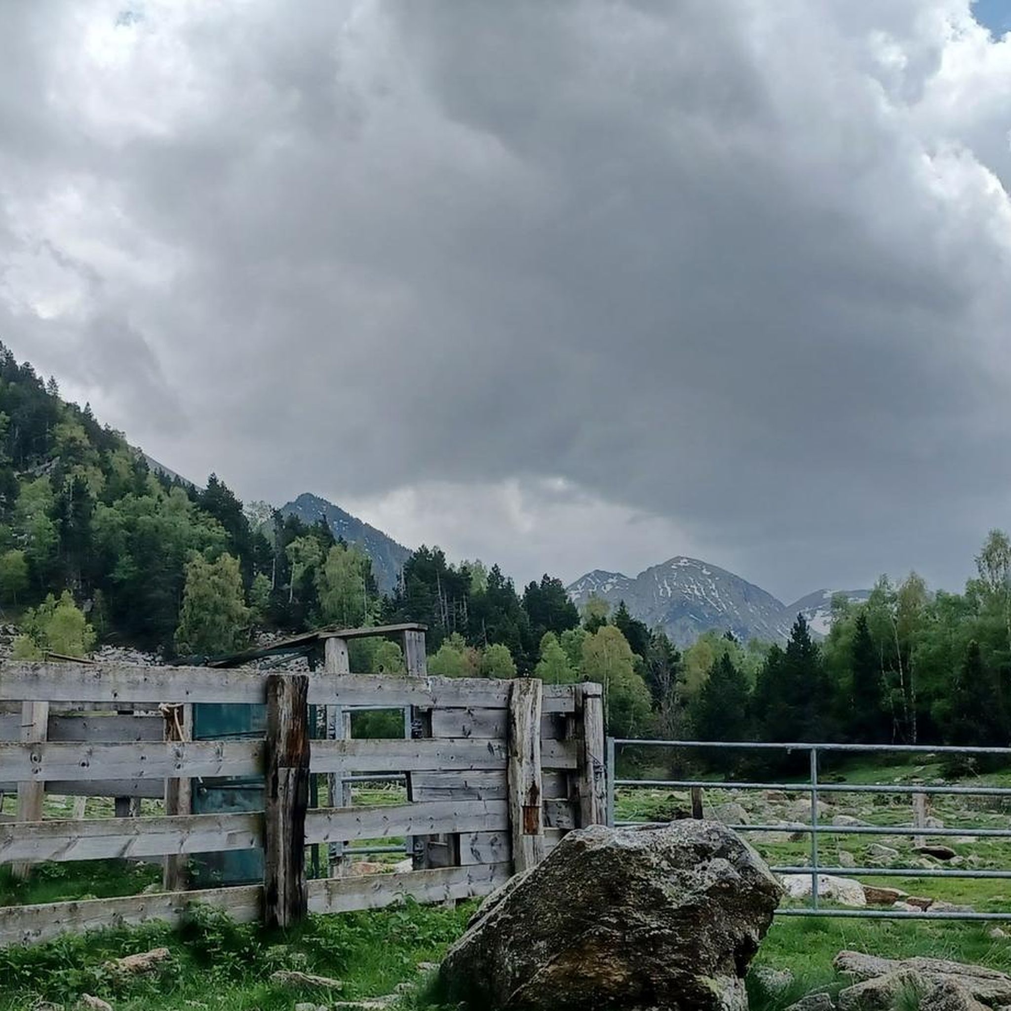
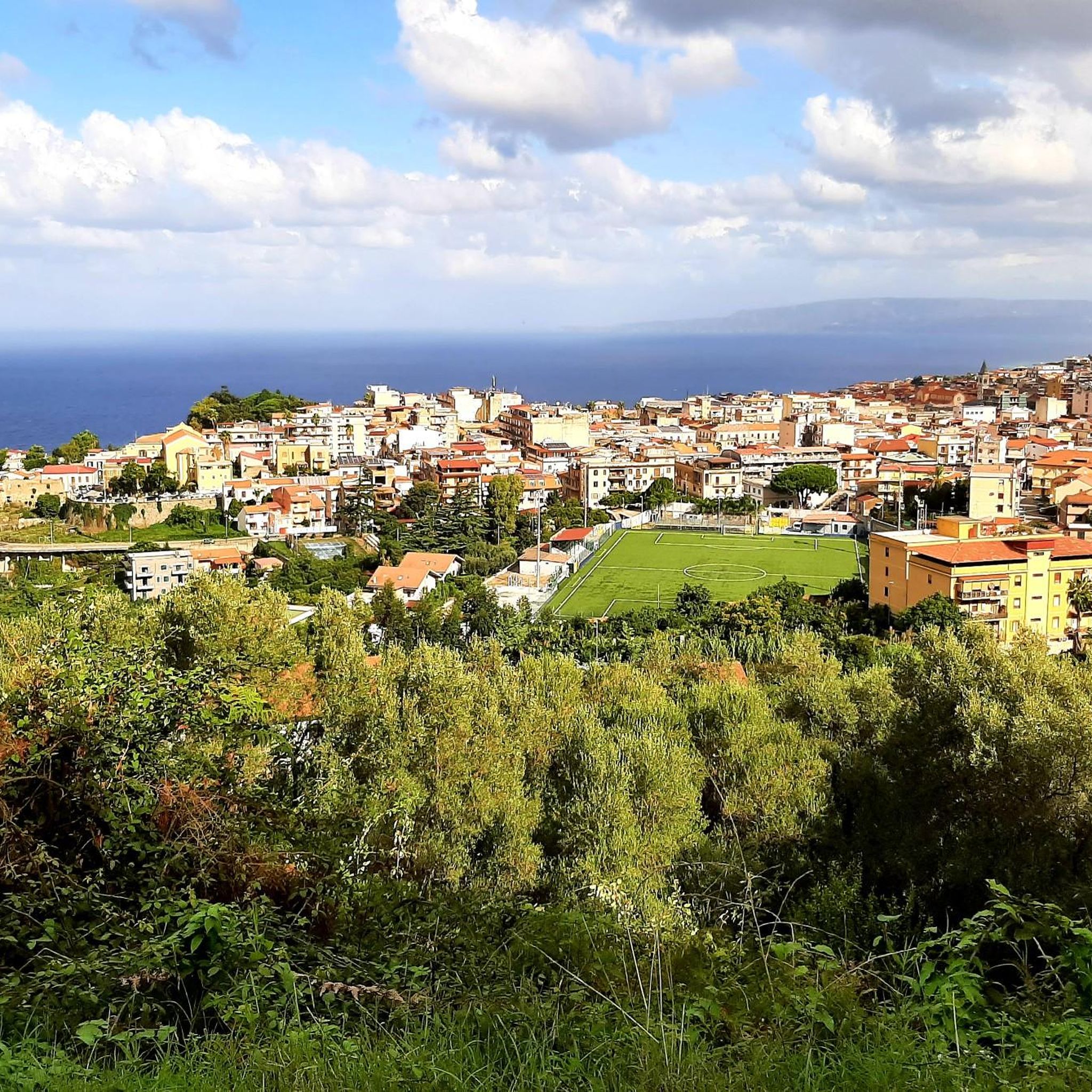
Tips from the Community

I recommend traversing this section of the "Sentiero del Tracciolino" very cautiously, paying close attention to where you place your feet. It winds along the steep Calabrian cliff face that runs from Palmi to Bagnara Calabra and is indeed very narrow in places. Furthermore, if there is any vegetation on the sea side, there is a risk of placing your foot on false flats, "foot-breakers" as they say. The magnificent sea view also contributes to this, as it risks distracting you from the path.
0
0
If the breathtaking route of the Sentiero del Tracciolino, which juts out over that steep stretch of cliff going from Palmi to Bagnara Calabra, with its deep and distant views, were not enough; if all this were not enough, you suddenly find yourself in front of a narrow, stone arch bridge, from which you have to pass to proceed with the route. Very beautiful and evocative, I recommend passing over it, with a bit of caution, instead of choosing the safer "land route" that bypasses the small bridge to its left.
0
0

You can also walk past it on the left for those who are not afraid of heights
0
0


The climb from Palmi to Monte Sant' Elia can be strenuous even in late October, but the view of the coast and the Aeolian Islands in the distance justifies the effort, at least in good weather. On the way back you can choose a slightly longer detour that leads back to Palmi below the mountain. You can commute to the train station by bus (no guarantee :-))
1
0

Unfortunately, the descent from Sant Elia was completely overgrown. So we had to take the detour via the road to Palmi. Overall, however, the path was very easy to walk.
1
0
Frequently Asked Questions
How many hiking trails are available around Rizziconi?
There are over 10 hiking trails around Rizziconi, offering diverse landscapes from coastal paths to mountainous terrain. The komoot community has explored these routes over 300 times.
What is the typical difficulty level for hiking trails in Rizziconi?
The trails around Rizziconi primarily offer easy and moderate options. There are 4 easy routes and 8 moderate routes, making the area accessible for various fitness levels. No difficult trails are listed in this guide.
Are there family-friendly hiking options near Rizziconi?
Yes, Rizziconi offers several easy trails suitable for families. For instance, the View of Marinella di Palmi – Sant'Elia Church, Palmi loop from Palmi is an easy 2.8-mile (4.5 km) path that passes by the historic Sant'Elia Church, offering a pleasant outing.
What kind of landscapes can I expect to see while hiking near Rizziconi?
Hiking near Rizziconi offers a blend of coastal paths, Mediterranean maquis, and mountainous terrain. You'll find views of the Tyrrhenian Sea, the plain of Gioia Tauro, and the foothills of Aspromonte National Park. The region is known for its dramatic coastlines and rugged mountains.
What are the best viewpoints or landmarks to see on a hike around Rizziconi?
Many trails offer stunning vistas. The Monte Sant'Elia – loop tour provides views of the coast and distant Aeolian Islands. The Belvedere delle Tre Croci (Three Crosses Viewpoint) on Monte Sant'Elia is particularly noted for its breathtaking panoramas. You can also visit the historic Sant'Elia Church in Palmi.
Are there any circular hiking routes in the Rizziconi area?
Yes, several routes are designed as loops. A popular option is the Monte Sant'Elia – loop tour, which is 6.1 miles (9.8 km) long. Another is the View of Ulivarella Bay – Rovaglioso Cove and Cliffs loop from Palmi, covering 4.3 miles (6.9 km) through coastal landscapes.
What is the best time of year to go hiking in Rizziconi?
Calabria, where Rizziconi is located, is ideal for mountain excursions year-round due to its mild climate. However, spring and autumn generally offer the most pleasant temperatures for hiking, avoiding the peak heat of summer while still enjoying clear skies and vibrant scenery.
What do other hikers enjoy most about hiking in Rizziconi?
The area is highly rated by the komoot community, with an average score of 4.0 stars from over 70 reviews. Hikers often praise the diverse terrain, from coastal views to mountain paths, and the opportunity to see landmarks like Monte Sant'Elia and the historic Sant'Elia Church.
Are there any unique natural features to explore on trails near Rizziconi?
Absolutely. The Tracciolino Trail is a significant natural feature, offering spectacular panoramas where the Tyrrhenian Sea meets the Aspromonte National Park. This trail features a stone bridge and views of the Aeolian Islands and Mount Etna.
Are there any trails that offer views of the sea and islands?
Many trails in the Rizziconi area provide stunning sea views. The Monte Sant'Elia – loop tour is renowned for its vistas of the coast and the distant Aeolian Islands, including the prominent silhouette of Stromboli. The View of the Tyrrhenian Sea and Sicily from Monte Sant'Elia is a highlight not to be missed.
Are there any easy coastal walks around Rizziconi?
Yes, you can find easy coastal walks. The View of Ulivarella Bay – Rovaglioso Cove and Cliffs loop from Palmi is an easy 4.3-mile (6.9 km) trail that takes you through beautiful coastal landscapes, often completed in under two hours.
Most popular attractions around Rizziconi

Get inspired with the komoot mobile app


Explore more
Browse the best Hikes in other regions.
