The best road cycling routes around Polling in Tirol
4.5
(169)
8,085
riders
49
rides
Road cycling around Polling in Tirol is characterized by its location within the picturesque Inn Valley, offering a diverse range of terrain. The municipal area extends from 615 meters above sea level up to the 2,211-meter-high Flaurlinger Joch saddle, providing varied cycling experiences. Cyclists encounter the Inn River, which often runs alongside routes, and are treated to views of the surrounding Alps. The region features a network of cycle paths, including sections of the Inn Cycle Path, suitable for different…
Last updated: July 10, 2026
4.3
(30)
1,506
riders
43.9km
01:56
260m
260m
Moderate road ride. Great for any fitness level. Some segments of this route may be unpaved and difficult to ride.
166
riders
83.6km
03:51
890m
890m
Moderate road ride. Good fitness required. Mostly well-paved surfaces and easy to ride.

Sign up for free
4.0
(1)
113
riders
31.4km
01:41
540m
540m
Moderate road ride. Good fitness required. Mostly well-paved surfaces and easy to ride.
93
riders
81.2km
03:54
910m
910m
Hard road ride. Very good fitness required. Some segments of this route may be unpaved and difficult to ride.
5.0
(1)
88
riders
21.0km
01:11
80m
80m
Moderate road ride. Great for any fitness level. Some segments of this route may be unpaved and difficult to ride.
Get access to more routes and recommendations from other explorers.
Sign up for free
Already have an account?
Our route recommendations are based on thousands of hikes, rides, and runs completed by other people on komoot.
Start today with a free account
Your next adventure awaits.
Login or Signup

Tips from the Community

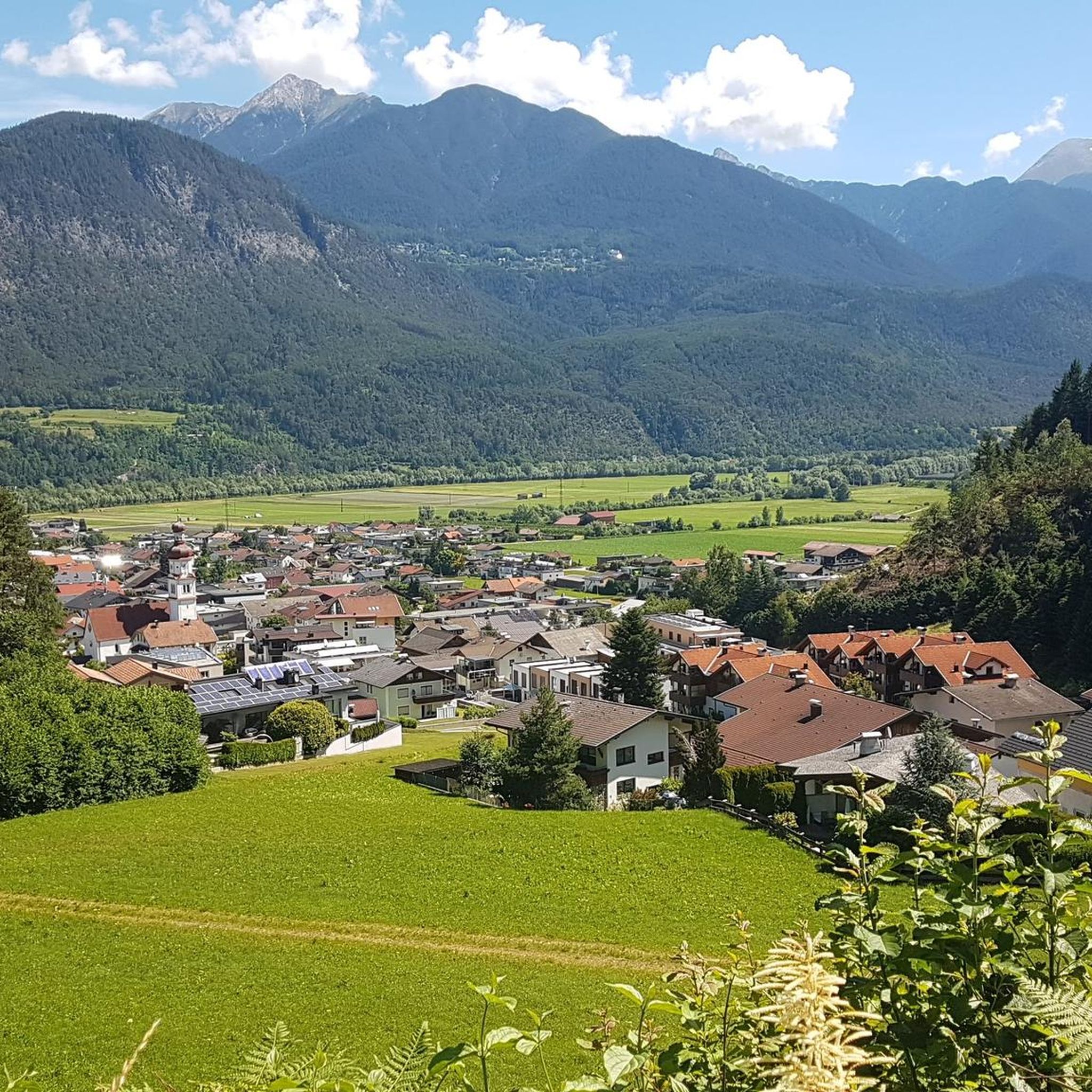
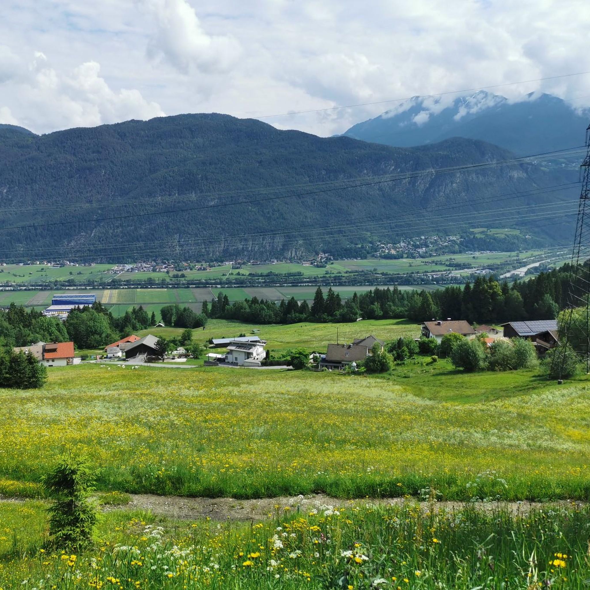
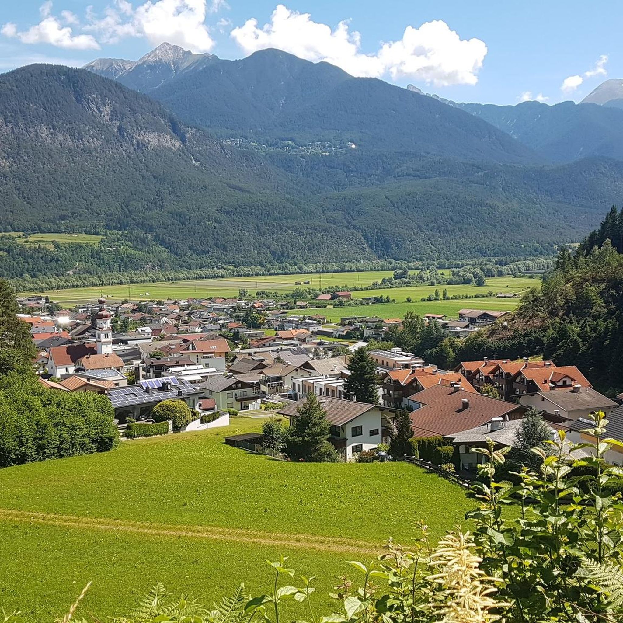
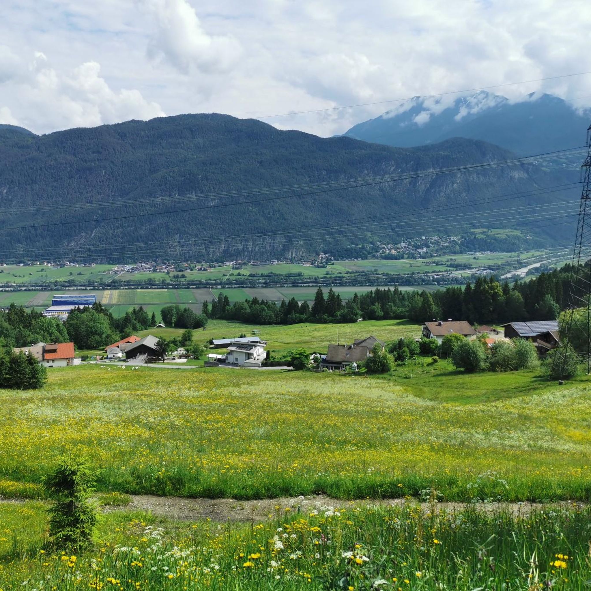
In the morning or evening hours when the sun is low and the mountains cascade with shadows, a dream on the bike. Provided there is little traffic, which is usually the case.
0
0

Cafés invite you to linger
0
0

Perfect if you feel like blasting
0
0


Here you can shop or have a meal
1
0

Nice training round with 900 meters of elevation
0
0
Frequently Asked Questions
How many road cycling routes are available around Polling in Tirol?
There are over 50 road cycling routes around Polling in Tirol, catering to various skill levels. These include routes along the scenic Inn Valley Cycle Path and more challenging ascents into the surrounding Alpine landscape.
What types of terrain and difficulty levels can I expect on road cycling routes in Polling in Tirol?
Polling in Tirol offers a diverse range of terrain. You'll find relatively flat and scenic routes along the Inn River, such as sections of the Inn Cycle Path, which are ideal for leisurely rides. For those seeking a challenge, there are routes with significant elevation gains, extending from 615 meters up to the 2,211-meter-high Flaurlinger Joch saddle. The region features 13 easy, 28 moderate, and 9 difficult routes.
Are there any family-friendly road cycling routes in Polling in Tirol?
Yes, the region offers several family-friendly options, particularly along the Inn Cycle Path. These routes often feature mostly paved surfaces and gentler gradients, making them suitable for cyclists of all ages. The Inn Cycle Path is known for its scenic and relatively flat stages.
What are some challenging road cycling routes for experienced riders in Polling in Tirol?
Experienced riders looking for a challenge can explore routes with significant elevation gain. For instance, the Hasegg Castle – Axamer Plateau loop from Flaurling is a difficult route covering over 82 km with more than 900 meters of ascent. Another demanding option is the View of the Martinswand – Gnadenwald Plateau loop from Flaurling, which includes traversing the Gnadenwald Plateau.
What natural attractions and landmarks can I see while road cycling in Polling in Tirol?
The region offers stunning Alpine scenery and cultural landmarks. You can enjoy magnificent views of peaks like Hohe Munde and the picturesque Inn Valley. Notable attractions include the magnificent Cistercian monastery of Stams Abbey, located directly on the Inn Valley Cycle Path. You can also explore historical sites like Fragenstein Castle Ruins or the Schlossbachklamm Gorge.
What is the best time of year for road cycling in Polling in Tirol?
The best time for road cycling in Polling in Tirol is typically from spring through autumn. During these seasons, the weather is generally mild, and the routes are clear of snow, offering ideal conditions to enjoy the Inn Valley and Alpine scenery. While specific conditions vary, the region's diverse elevation means some higher routes might be accessible later in the season.
Are there any circular road cycling routes around Polling in Tirol?
Yes, many of the road cycling routes in Polling in Tirol are designed as loops, allowing you to start and end at the same point. Examples include the Inn Valley Cycle Path – View of the Martinswand loop from Flaurling and the Road to Ranggen loop from Inzing, providing convenient options for exploring the area.
How can I access the road cycling routes in Polling in Tirol using public transport?
Polling in Tirol is conveniently located about a half-hour drive west of Innsbruck, making it accessible. The region has public transport connections, including train services that run through the Inn Valley. Cyclists can often use regional trains to reach starting points for routes, especially those along the Inn Cycle Path, which connects various towns.
What do other road cyclists enjoy most about road cycling in Polling in Tirol?
The road cycling routes in Polling in Tirol are highly rated by the komoot community, with an average score of 4.5 stars from over 100 reviews. Cyclists often praise the diverse terrain, from gentle valley rides along the Inn River to challenging ascents with magnificent Alpine views. The well-developed network of cycle paths and the region's serene, rural environment are also frequently highlighted.
Are there easy road cycling routes suitable for beginners in Polling in Tirol?
Absolutely. Polling in Tirol offers 13 easy road cycling routes, many of which follow the Inn Cycle Path. These routes are characterized by their relatively flat profiles and well-maintained paved surfaces, making them perfect for beginners or those looking for a relaxed ride through the picturesque Inn Valley.
Can I find cafes or places to stop for refreshments along the road cycling routes?
Yes, the region around Polling in Tirol, especially along the Inn Cycle Path and in the villages, offers opportunities to stop for refreshments. You'll find cafes and restaurants in towns like Polling, Flaurling, and Hatting, as well as in nearby Innsbruck, providing convenient breaks during your ride to enjoy local specialties.
Most popular routes around Polling in Tirol
Most popular attractions around Polling in Tirol

Get inspired with the komoot mobile app


Explore more
Browse the best Road cycling routes in other regions.
