The best walks and hikes in Nature park Kaunergrat
4.6
(19627)
102,202
hikers
173
hikes
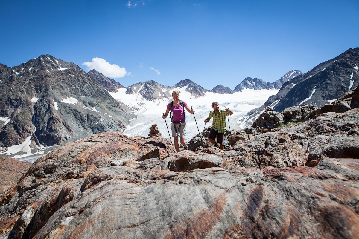
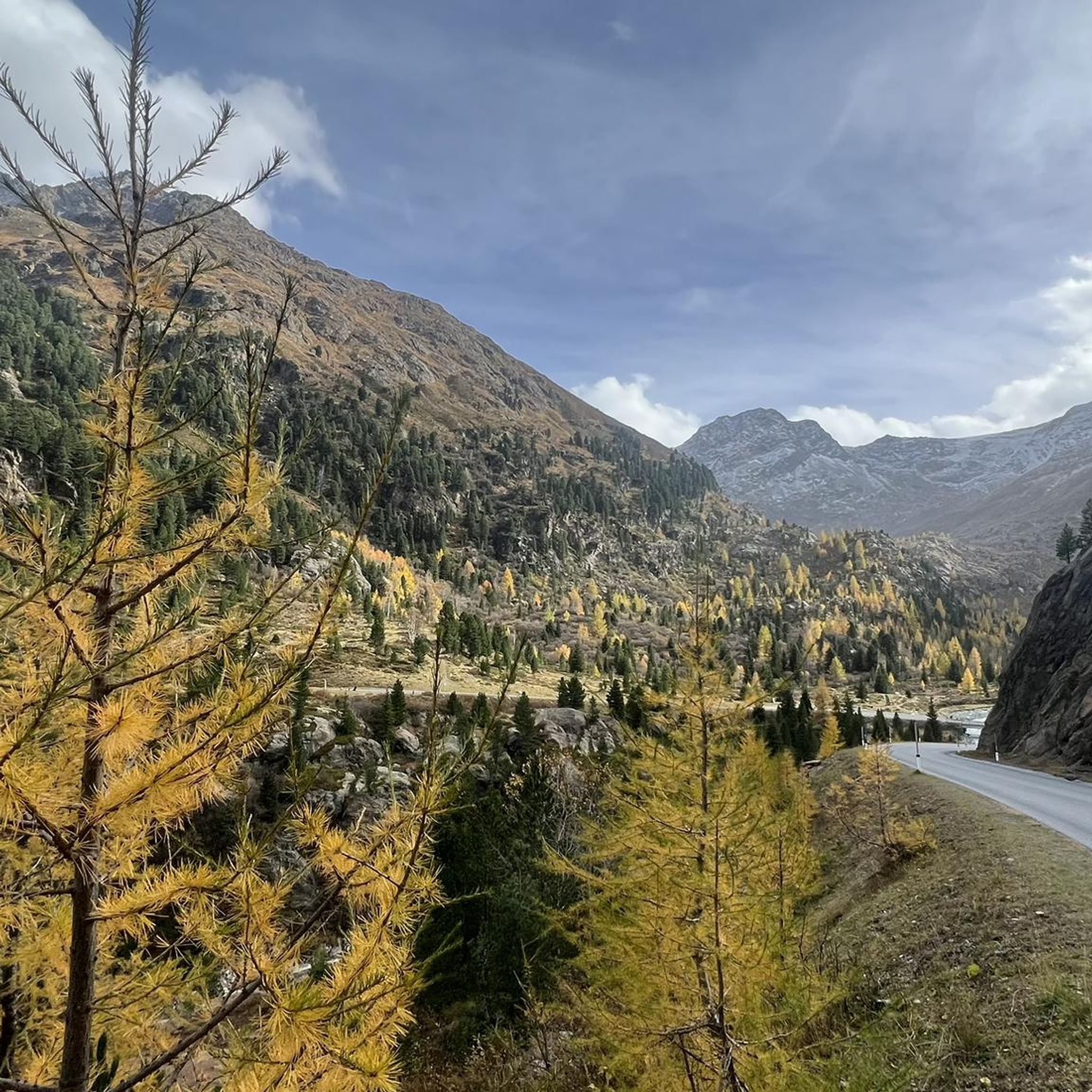
Hiking in Nature park Kaunergrat offers diverse landscapes across all alpine altitude levels within its 590 square kilometers. The region is characterized by impressive alpine peaks, including 84 summits over three thousand meters in the Ötztal Alps and Kaunergrat mountain range, alongside deeply incised valleys and high-altitude moors. Glaciated areas are visible, contributing to varied natural spectacles throughout the year.
Best hiking trails in Nature park Kaunergrat
- The most popular hiking route is Fuldaer Höhenweg to Taschachhaus, a 11.2 miles (18.0 km) trail that takes 6 hours 19 minutes to complete. This difficult route offers high alpine views and leads towards a mountain hut.
- Another top favourite among local hikers is Gallruthalm - Stollenwanderung (gallery hike), a moderate 4.1 miles (6.6 km) path. This trail explores unique natural features and historical elements, taking approximately 2 hours 11 minutes.
- Local hikers also love the From Plangeross to Kaunergrathütte – Kaunergrat Nature Park, a 7.8 miles (12.5 km) trail leading through alpine valleys and towards a mountain hut, often completed in about 6 hours 6 minutes.
- Hiking in Nature park Kaunergrat is defined by alpine peaks, glaciated areas, diverse valleys, and high-altitude moors. The extensive network offers options for easy family-friendly walks to challenging high-alpine summiteering routes.
- The routes in Nature park Kaunergrat are highly rated by the komoot community with an average score of 4.5 stars from over 8,000 reviews. More than 50,000 hikers have used komoot to explore Nature park Kaunergrat's varied terrain.
Last updated: July 7, 2026
4.9
(109)
658
hikers
18.0km
06:19
380m
970m
Hard hike. Very good fitness required. Mostly accessible paths. Sure-footedness required.
4.9
(123)
558
hikers
6.63km
02:11
210m
210m
Moderate hike. Good fitness required. Mostly accessible paths. Sure-footedness required.

Sign up for free
4.9
(44)
407
hikers
12.5km
06:06
1,180m
1,180m
Hard hike. Very good fitness required. Sure-footedness, sturdy shoes and alpine experience required.
4.8
(38)
226
hikers
11.6km
05:28
990m
990m
Hard hike. Very good fitness required. Sure-footedness, sturdy shoes and alpine experience required.
4.8
(12)
69
hikers
8.92km
04:08
930m
930m
Hard hike. Very good fitness required. Easily-accessible paths. Suitable for all skill levels.
Get access to more routes and recommendations from other explorers.
Sign up for free
Already have an account?
Our route recommendations are based on thousands of hikes, rides, and runs completed by other people on komoot.
Start today with a free account
Your next adventure awaits.
Login or Signup
Popular around Nature park Kaunergrat
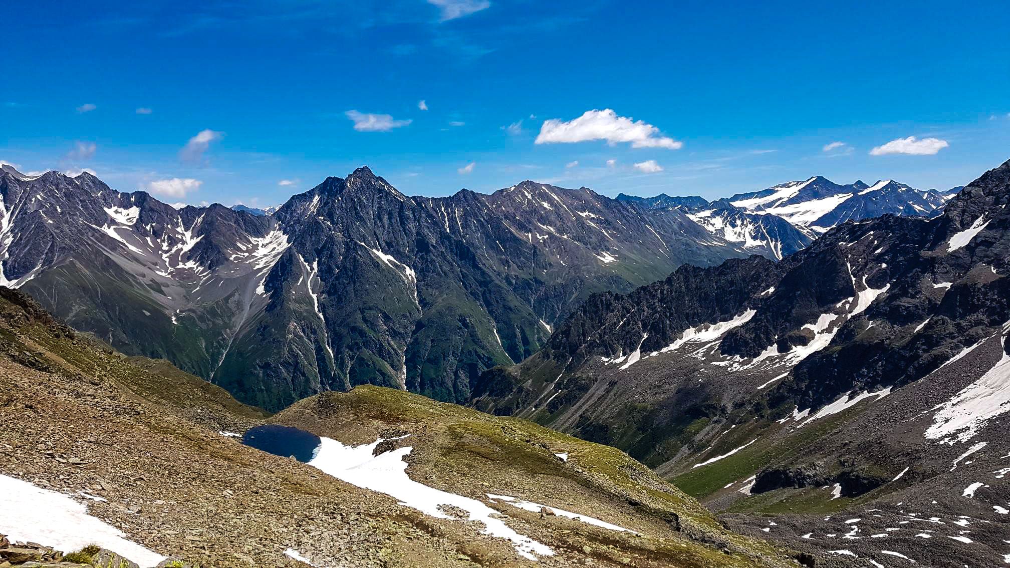
Kaunergrat circular hike in Austria – a dream for experienced mountaineers

E5 – Hiking across the Alps
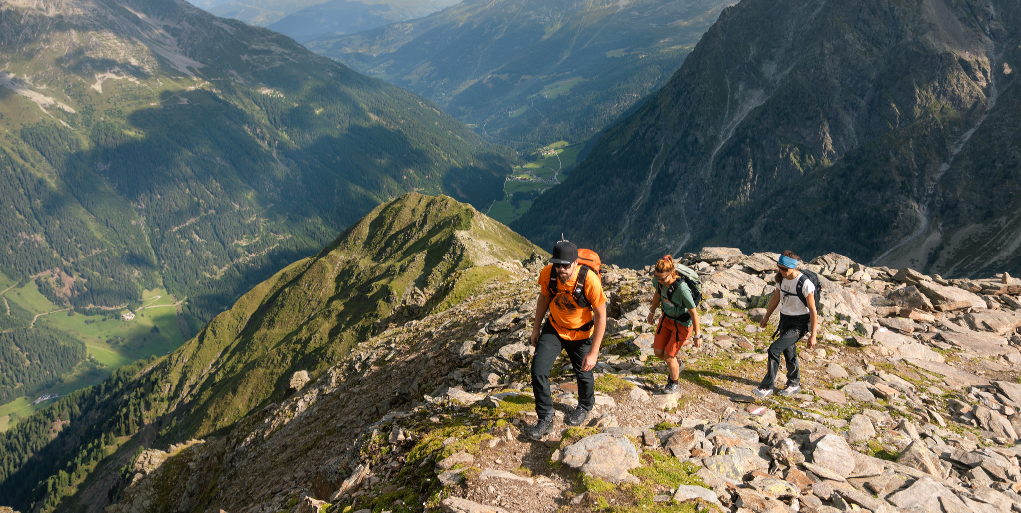
Kaunertal – glaciers, tunnels and stone pine forests
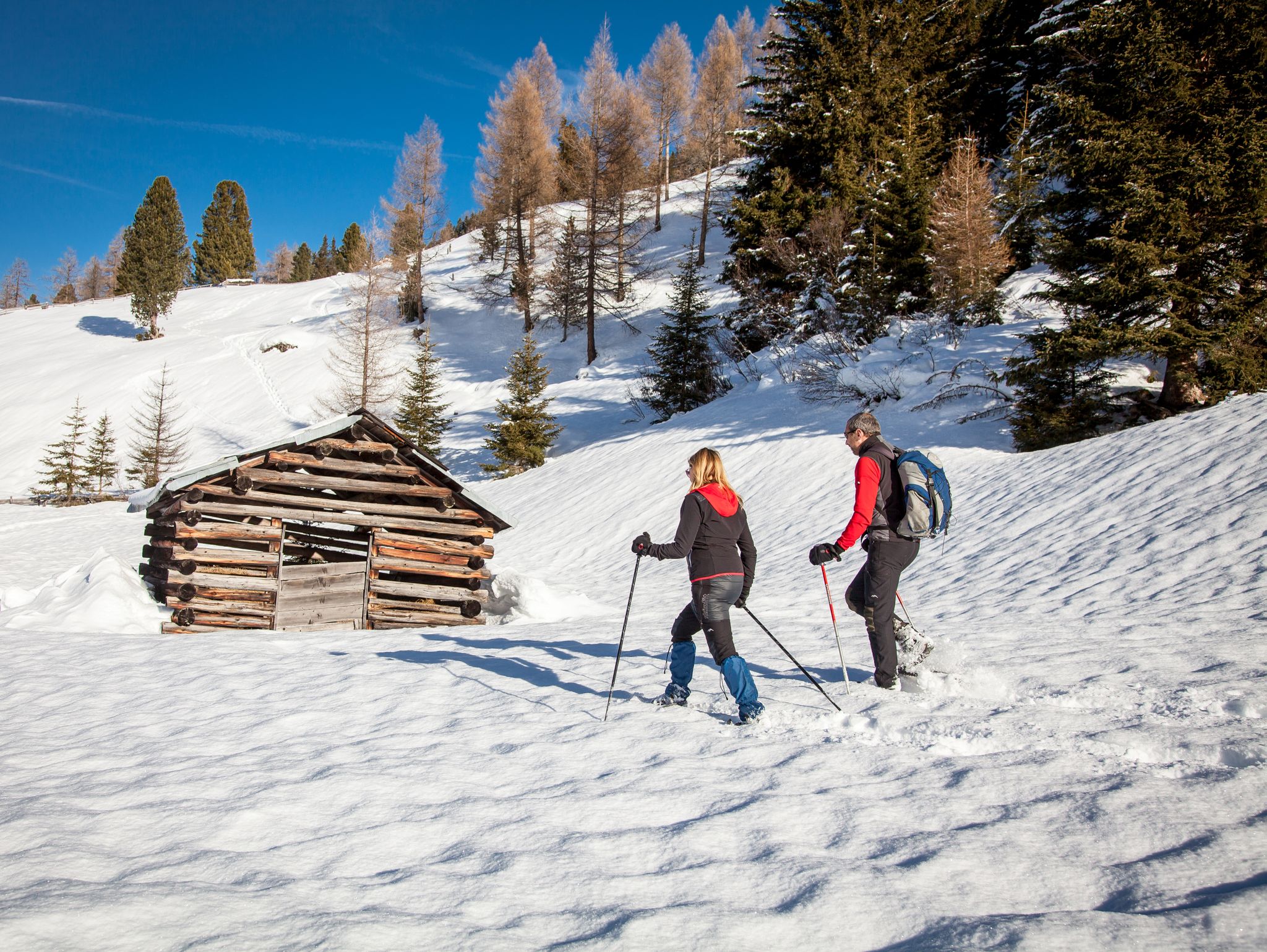
Banish the winter blues – the most beautiful winter routes in the Pitztal valley
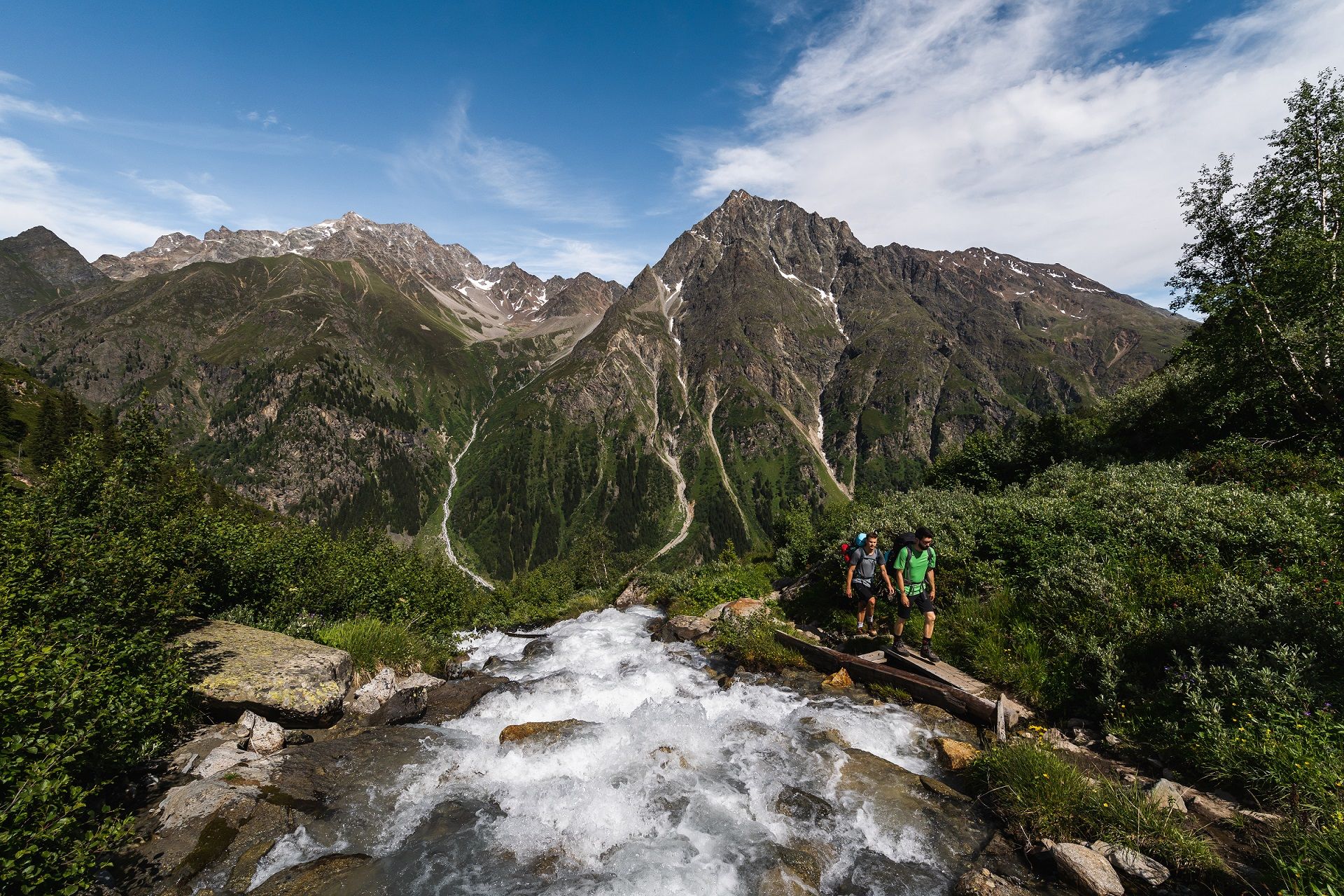
From A for Alm to Z for Zirbe — summer in Austria’s Pitztal valley
Diving into mountain adventure in the Pitztal valley
#Winterlove — 14 tips for your winter adventure in Austria
Running Trails in Nature park Kaunergrat
Road Cycling Routes in Nature park Kaunergrat
Cycling in Nature park Kaunergrat
Other adventures in Nature park Kaunergrat


Tips from the Community

The Verpeil valley around the Verpeil hut is a dream.
0
0

Beautiful lake. Easily accessible from the Kaunergrat Hut via the Steinbockjoch Pass. We then continued to the Verpeiljoch Pass and the Verpeil Hut. There are also many other trails available from there.
0
0

Bicycles can be rented from the valley station of the Taschachhaus cable car. They cost €15 per bike. This makes the 7km return to Mandarfen quick. The route is very steep and easy to cycle. The return journey is along a well-maintained gravel road. It's important to watch out for the cows, as they graze in the pastures and may even stand on the path.
1
0

An absolute highlight of this lake, you can see it from the summit
0
0
The path to the hut leads past it, wonderful view
0
0


First alpine pasture for the tunnel hike
2
0
Frequently Asked Questions
How many hiking trails are available in Nature park Kaunergrat?
Nature park Kaunergrat offers a vast network of over 170 hiking trails. These routes cater to all levels, from leisurely strolls to demanding high-alpine summiteering, ensuring a diverse experience for every hiker.
Are there easy or family-friendly hiking trails in Nature park Kaunergrat?
Yes, the park features over 40 easy routes suitable for families and beginners. A notable option is the Piller Moor nature trail, which is largely barrier-free and perfect for exploring the unique flora and fauna of this upland moor.
What kind of challenging hikes can I find in Nature park Kaunergrat?
For experienced mountaineers, Nature park Kaunergrat provides over 60 difficult routes. A prime example is the demanding Kaunergrat Circular, a multi-day trek across the mountain ridge, offering significant elevation gain and leading through wild mountain landscapes. Another challenging option is Fuldaer Höhenweg to Taschachhaus, known for its high alpine views.
What is the best time of year to go hiking in Nature park Kaunergrat?
The best time for hiking in Nature park Kaunergrat is generally from late spring to early autumn (May to October), when trails are clear of snow and alpine flora is in bloom. The park's diverse altitude levels mean conditions can vary, so always check local weather forecasts before heading out.
Are there any circular hiking routes in Nature park Kaunergrat?
Yes, many trails in Nature park Kaunergrat are designed as circular routes, allowing you to start and end at the same point. For instance, the Rifflbach Waterfall – Riffelsee Circular Trail loop from Brandkogel offers a scenic loop around the Rifflsee, Europe's highest raft trip lake.
Can I bring my dog on the hiking trails in Nature park Kaunergrat?
Dogs are generally welcome on hiking trails in Nature park Kaunergrat, but it's essential to keep them on a leash, especially in nature protection zones and near grazing livestock. Always ensure your dog is well-behaved and that you clean up after them to preserve the natural environment.
Are there waterfalls to see along the hiking routes?
Absolutely! Nature park Kaunergrat is home to several impressive waterfalls. You can visit the powerful Verpeil Waterfall or explore the Rifflbachsteig Trail and Waterfall. The Verpeilschlucht Suspension Bridge and Waterfall also offers a unique experience.
What kind of wildlife can I expect to see while hiking?
Nature park Kaunergrat is renowned for its rich biodiversity. You have a good chance of spotting Austria's largest ibex colony, with approximately 1,200 individuals. Other wildlife includes chamois, marmots, and various bird species like the golden eagle. Keep an eye out for the diverse insect life, including about 1,100 butterfly species.
Are there mountain huts or places to rest along the trails?
Yes, the park boasts 47 mountain pastures and numerous huts where you can rest and enjoy regional culinary delights. Notable huts include the Rifflsee Hut, offering stunning views, and the Taschachhaus. Many routes, like From Plangeross to Kaunergrathütte, lead directly to these welcoming shelters.
What do other hikers enjoy most about Nature park Kaunergrat?
The area is highly rated by the komoot community, with an average score of 4.5 stars from over 8,000 reviews. Hikers frequently praise the park's diverse landscapes, from glaciated peaks to deep valleys, and the well-maintained network of trails that cater to all skill levels. The rich wildlife and authentic alpine hut culture are also often highlighted as favorite aspects.
Are there any unique natural features or landmarks to explore?
Beyond the alpine peaks and glaciers, the park features unique natural monuments like the Piller Moor, an upland moor with extraordinary flora. The Rifflsee, the largest lake in the Ötztal Alps, is another prominent attraction. You can also explore the Gallruthalm - Stollenwanderung (gallery hike), which combines natural beauty with historical elements.
Is there an information center for visitors in the park?
Yes, the Kaunergrat Nature Park House, located at the Gachenblick on Piller Höhe mountain, serves as a central information point. It features an interactive exhibition called '3000 m VERTIKAL,' providing insights into the park's geology, flora, and fauna, along with panoramic views where the Kaunertal, Pitztal, and Inntal valleys meet.
Most popular routes in Nature park Kaunergrat
Most popular attractions in Nature park Kaunergrat

Get inspired with the komoot mobile app


Explore more
Browse the best Hikes in other regions.
