The best mountain hikes in Mürzer Oberland
4.6
(40)
634
hikers
37
hikes
Mountaineering routes in Mürzer Oberland, nestled in the northeastern part of Styria, Austria, offer a diverse and impressive natural landscape. The region is defined by peaks reaching approximately 2,000 meters, including the Rax, Schneealpe, and Veitsch, providing varied terrain for mountain enthusiasts. It features a captivating blend of extensive forests, alpine meadows, deep river valleys, and striking limestone mountains along the upper Mürz valley.
Best mountaineering routes in Mürzer Oberland
- The most popular mountaineering route is Preiner Gscheid Pass –…
Last updated: July 1, 2026
80
hikers
7.84km
03:25
720m
720m
Moderate mountaineering route. Good fitness required. Easily-accessible paths. Suitable for all skill levels.
5.0
(8)
39
hikers
10.7km
05:28
1,020m
1,020m
Hard mountaineering route. Very good fitness required. Sure-footedness, sturdy shoes and alpine experience required.

Sign up for free
5.0
(2)
32
hikers
14.1km
06:31
1,010m
1,010m
Hard mountaineering route. Very good fitness required. Mostly accessible paths. Sure-footedness required.
5.0
(3)
31
hikers
11.5km
06:12
1,000m
1,000m
Hard mountaineering route. Very good fitness required. Sure-footedness, sturdy shoes and alpine experience required.
28
hikers
12.6km
05:22
890m
880m
Hard mountaineering route. Very good fitness required. Sure-footedness, sturdy shoes and alpine experience required.
Get access to more routes and recommendations from other explorers.
Sign up for free
Already have an account?
Our route recommendations are based on thousands of hikes, rides, and runs completed by other people on komoot.
Start today with a free account
Your next adventure awaits.
Login or Signup
Popular around Mürzer Oberland

North Alpine Trail 01 – Hike across Austria in 49 days

Viennese Alpenbogen – Lower Austria's most beautiful peaks
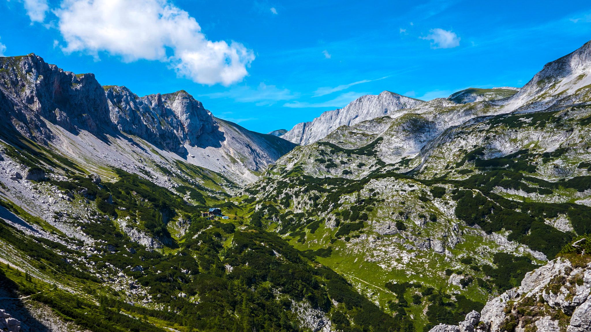
The BergZeitReise – a beautiful long-distance hiking trail across Styria
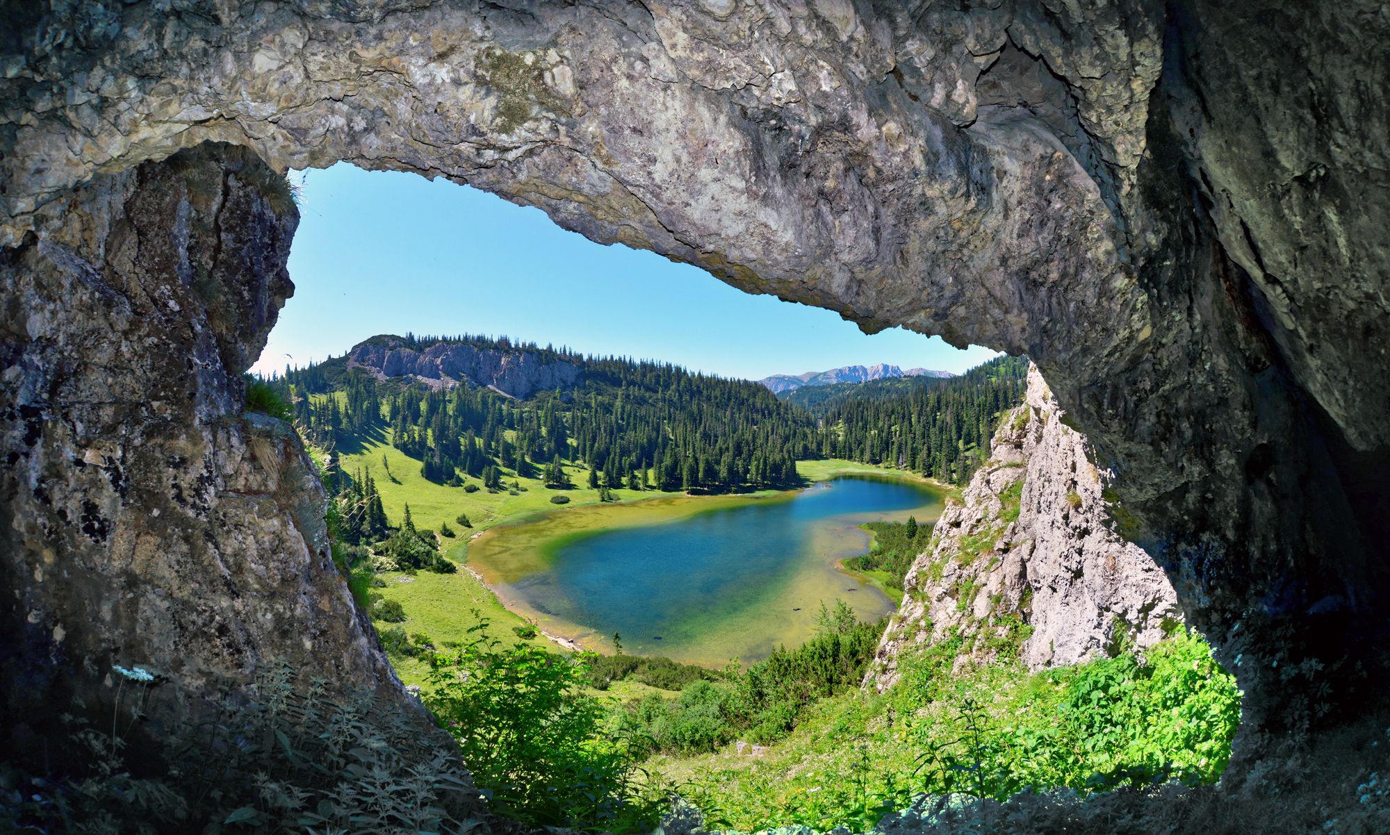
BergZeitReise – from glacier to wine in high Styria
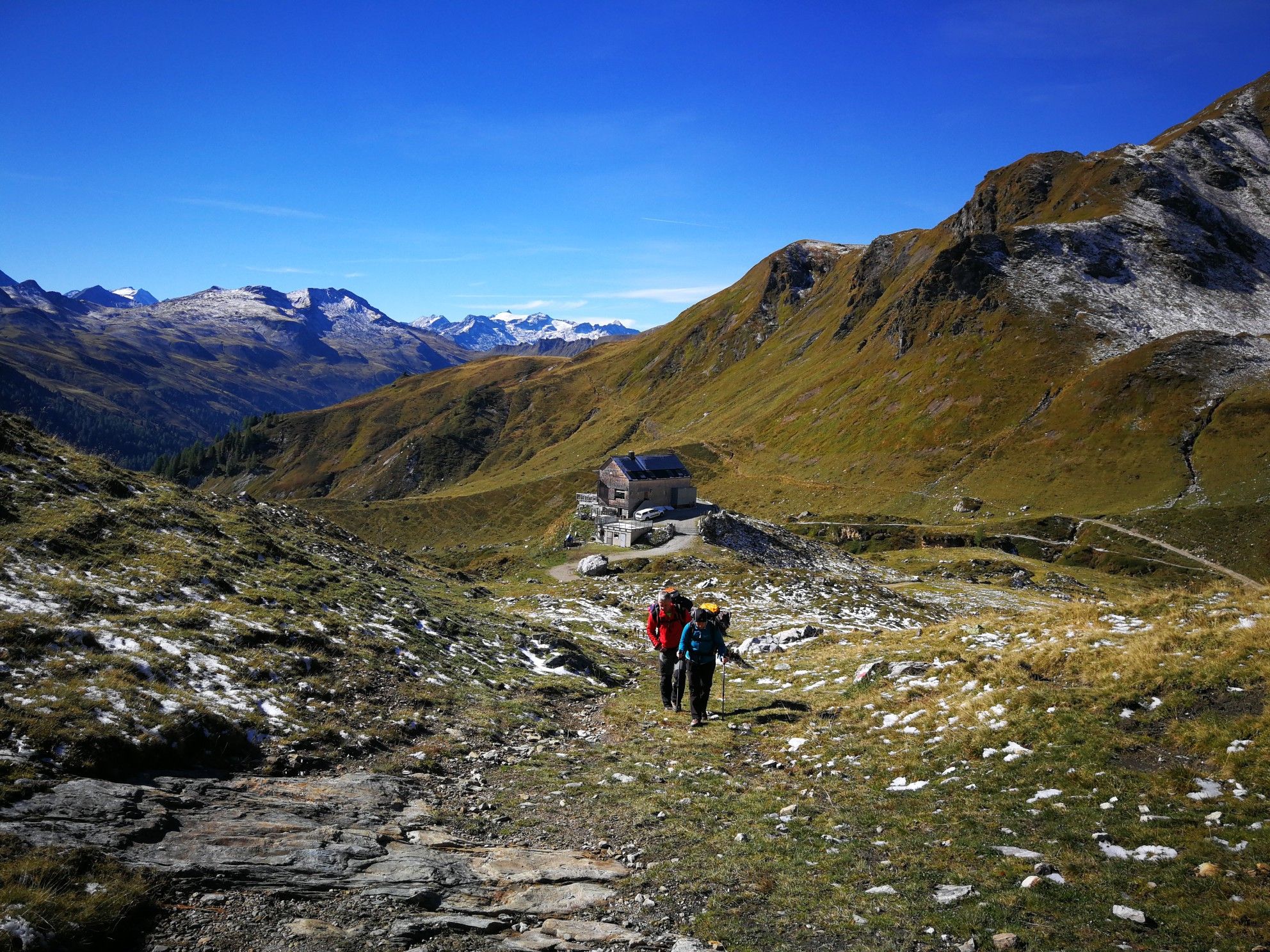
Lower Austria to Carinthia — our favourite huts in Austria
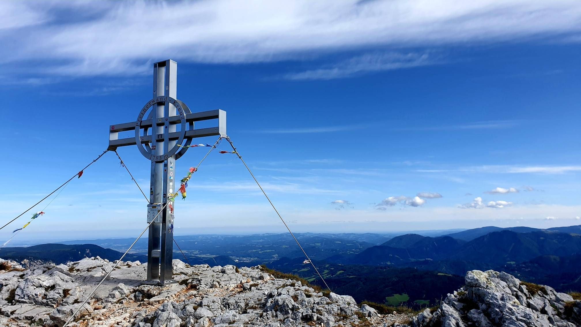
Alpine hiking on Vienna’s doorstep – Rax-Schneeberg Group Mountains

Discover Styria in Austria on foot – ‘From Glacier to Wine’ North Route
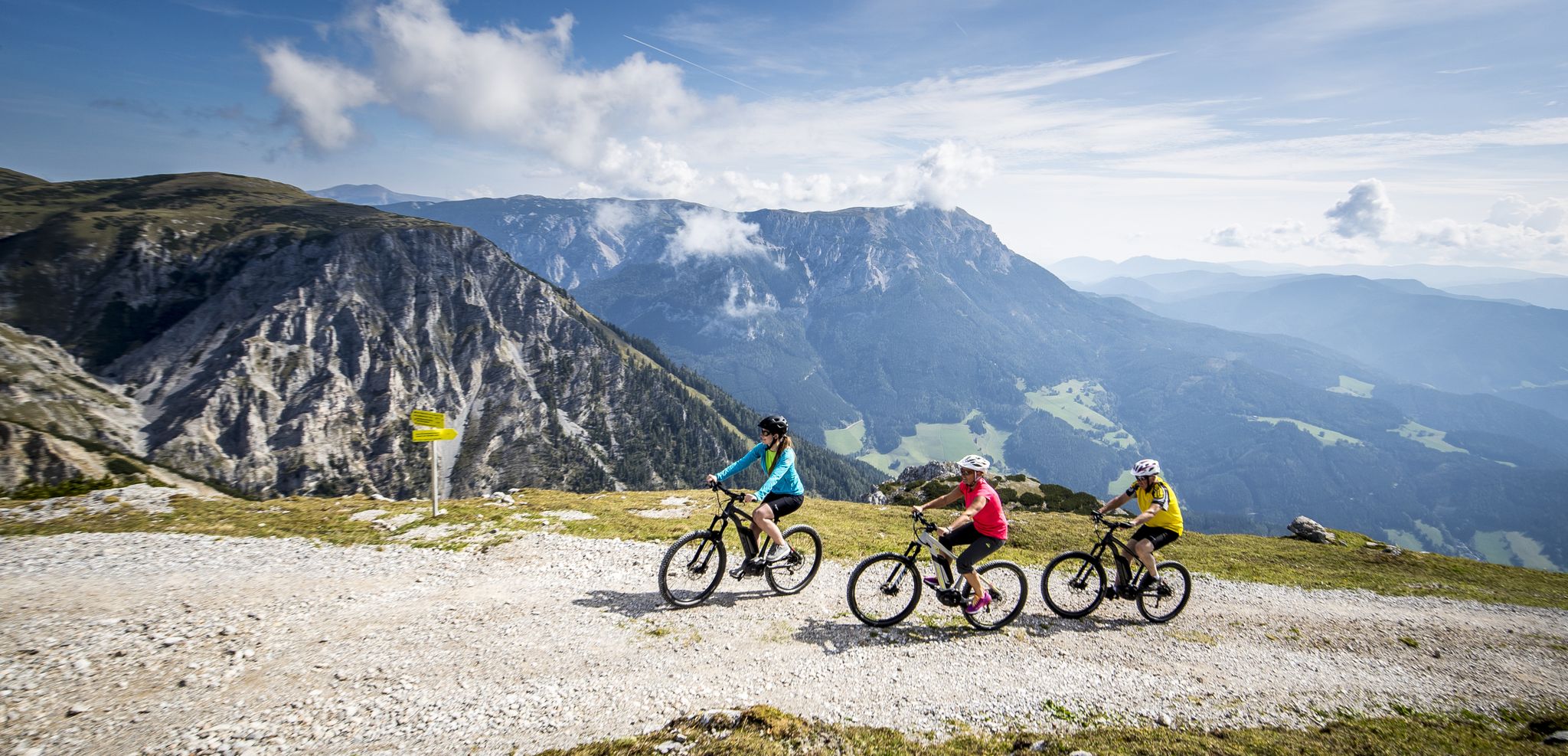
Pleasure mountain biking and adrenaline kicks in Hochsteiermark
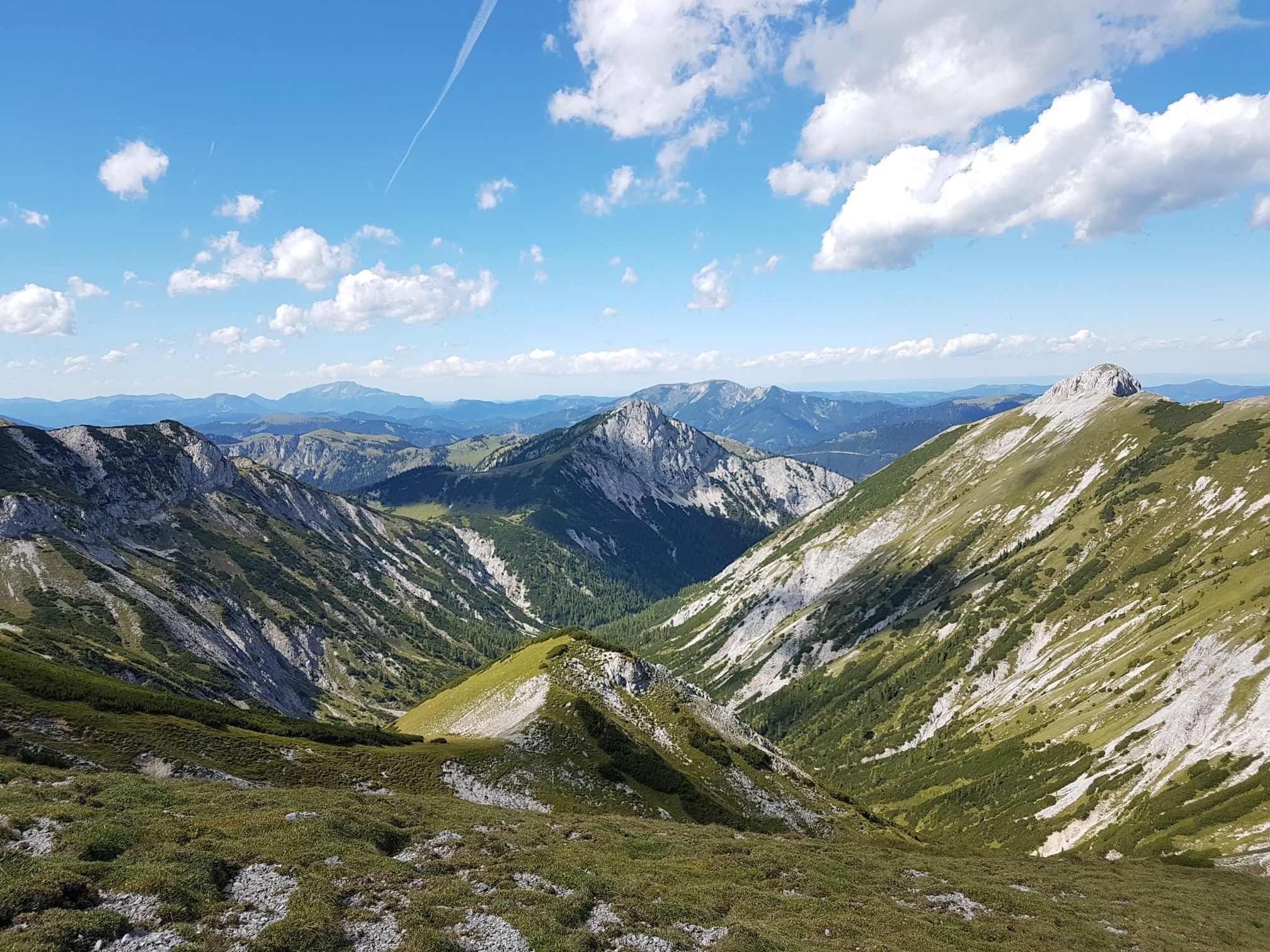
Out of town, up the mountain – Vienna's backyard
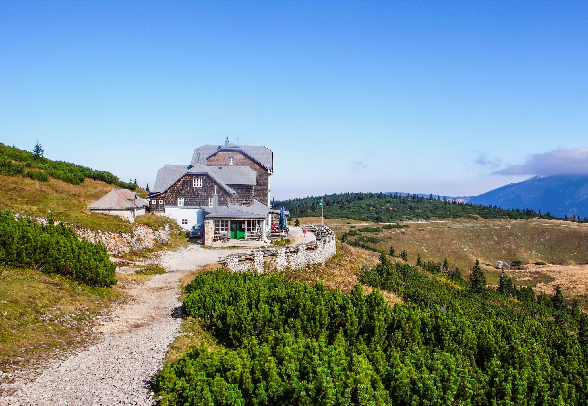
Hut fun in Austria’s Schneebergland
Other adventures in Mürzer Oberland


Tips from the Community

The Gamseck (2,037 m) is one of the most striking and alpine peaks of the Rax and impresses with its steep rock faces and exposed character. The ascent is usually via challenging climbs like the Gamsecksteig and requires sure-footedness, a head for heights, and good fitness. At the summit, a magnificent panoramic view over the Rax massif and the surrounding Vienna Alps awaits – a real highlight for experienced mountaineers.
3
0
The Karl-Ludwig-Haus is located at 1,804 meters on the edge of the Rax plateau and is one of the most traditional huts in the region. Surrounded by wide alpine meadows and striking rock faces, it is a popular base for hikes across the plateau and to the surrounding peaks. A cozy stop with regional cuisine makes it an ideal resting and starting point for tours on the Rax.
5
0
The Raxkirchlein is a small chapel on the Rax plateau and is considered the highest church in Lower Austria. Simple and exposed, it blends harmoniously into the vast alpine landscape and is a special place of tranquility. From here, a beautiful view also opens up over the plateau and the surrounding peaks of the Rax.
5
0
The Heukuppe, at 2,007 meters, is the highest peak in the Rax and marks the easternmost two-thousand-meter peak in the Alps. From the expansive plateau, an unassuming ascent leads to the highest point, rewarding with an impressive panoramic view over the Vienna Alps and far into the Lower Austrian Prealps. Despite the gentle summit shape, you can feel the alpine vastness and the special location on the edge of the Eastern Alps up here.
5
0

Guesthouse open in the background
3
0

Connecting two great mountains. The Nasskamm is the connection between Rax and Schneealpe. However, the ascent to the Rax via the Zahme Gamseck is an easy via ferrata of category A and marked with a black dot. It is not particularly difficult, however, and is secured with a steel cable in the "trickier" passages. Experienced mountaineers usually do it without via ferrata equipment.
0
0
The Schauerkogel rock terrace is located right next to the Schneealpenhaus.
0
0
Directly at the mountain hut, beautiful
3
0
Frequently Asked Questions
How many mountaineering routes are available in Mürzer Oberland?
Mürzer Oberland offers a wide selection of mountaineering routes, with nearly 40 different tours available on komoot. These routes cater to various skill levels, from moderate ascents to technically challenging climbs across the region's prominent mountain ranges.
Are there any easy mountaineering routes suitable for beginners?
While many routes in Mürzer Oberland are challenging, there is at least one easy mountaineering route available. For those looking for a moderate introduction, the Preiner Gscheid Pass – Karl-Ludwig House (Raxalpe) loop from Preiner Gscheid is a great option, offering scenic landscapes on the Raxalpe.
What are the best times of year for mountaineering in Mürzer Oberland?
The Mürzer Oberland is ideal for mountaineering from spring through autumn, when trails are generally clear of snow. During winter, the snowy conditions make the area perfect for ski tours and snowshoe walks, offering a different kind of mountain experience.
Are there any circular mountaineering routes in the Mürzer Oberland?
Yes, many routes in Mürzer Oberland are designed as loops, allowing you to start and end at the same point. An example is the challenging Schneealpenhaus – Windberg Summit loop from Altenberg an der Rax, which provides expansive views across the Schneealpe plateau.
What kind of natural landmarks or attractions can I see along the routes?
Mürzer Oberland is rich in natural beauty. You can encounter prominent peaks like the Windberg Summit (Schneealpe), explore the unique high-alpine experiences of the Schneealmplateau, or discover natural jewels like the Roßlochklamm gorge. The region is defined by the Rax, Schneealpe, and Veitsch mountain ranges, offering diverse landscapes.
Are there any via ferratas (fixed-rope routes) in the Mürzer Oberland?
Yes, the Mürzer Oberland Nature Park features via ferratas, such as the Falkenstein via ferrata, which offers varying difficulty levels. For a challenging mountaineering experience that includes a via ferrata section, consider the Heukuppe – Zahmes Gamseck via ferrata loop from Parkplatz Nasskamm, leading through the Rax mountain range.
What do other mountaineers say about the routes in Mürzer Oberland?
The mountaineering routes in Mürzer Oberland are highly regarded by the komoot community, holding an impressive average rating of 4.7 stars from over 30 reviews. Mountaineers often praise the diverse terrain, from extensive forests and alpine meadows to striking limestone mountains, and the variety of routes available for all levels.
Are there any family-friendly mountaineering options in Mürzer Oberland?
While many mountaineering routes are demanding, Mürzer Oberland does offer options suitable for families. For a more accessible nature experience, the 1.5 km circular path of the Wald der Sinne (Forest of the Senses) provides a gentle way to connect with nature, and some via ferratas, like parts of the Falkenstein, are designed with families in mind.
Can I bring my dog on the mountaineering trails?
Many trails in Mürzer Oberland are dog-friendly, but it's always recommended to check specific trail regulations and local signage, especially within the Nature Park areas. Ensure your dog is well-behaved and kept on a leash where required to protect wildlife and other hikers.
Where can I find parking for mountaineering routes?
Parking is generally available at common trailheads and starting points for mountaineering routes. For example, the Heukuppe – Zahmes Gamseck via ferrata loop starts from Parkplatz Nasskamm, indicating dedicated parking facilities. It's advisable to check the route details for specific parking information before your trip.
Are there any less crowded mountaineering routes for a more solitary experience?
For those seeking solitude, the Schneealpe offers long panoramic routes that provide a more secluded experience. Additionally, experienced mountaineers can find unmarked, wilder ascents on the Rax, such as the Sepplgraben, which are less frequented and offer a true wilderness feel.
What are some of the more challenging mountaineering routes in the region?
Mürzer Oberland is known for its challenging routes. The Gignatzwiese – Hohe Veitsch Summit (1,981 m) loop from Niederalpl is a difficult route leading to the Hohe Veitsch Summit. The Rax also offers
What are some of the more challenging mountaineering routes in the region?
Mürzer Oberland is known for its challenging routes. The Gignatzwiese – Hohe Veitsch Summit (1,981 m) loop from Niederalpl is a difficult route leading to the Hohe Veitsch Summit. The Rax also offers
What are some of the more challenging mountaineering routes in the region?
Mürzer Oberland is known for its challenging routes. The Gignatzwiese – Hohe Veitsch Summit (1,981 m) loop from Niederalpl is a difficult route leading to the Hohe Veitsch Summit. The Rax also offers wild, steep, and off-trail ascents with easy climbing in moderately exposed terrain for experienced mountaineers.
Can I access mountaineering trailheads using public transport?
Public transport access to trailheads in Mürzer Oberland is possible, though it may require some planning. Key areas like Preiner Gscheid and Altenberg an der Rax, which serve as starting points for popular routes, can often be reached by local bus services. It's recommended to check local transport schedules in advance.
Most popular routes in Mürzer Oberland
Most popular attractions in Mürzer Oberland

Get inspired with the komoot mobile app


Explore more
Browse the best Mountain Hikes & Routes in other regions.
