The best hikes from bus stations in Mürzer Oberland
4.7
(1643)
11,928
hikers
96
hikes
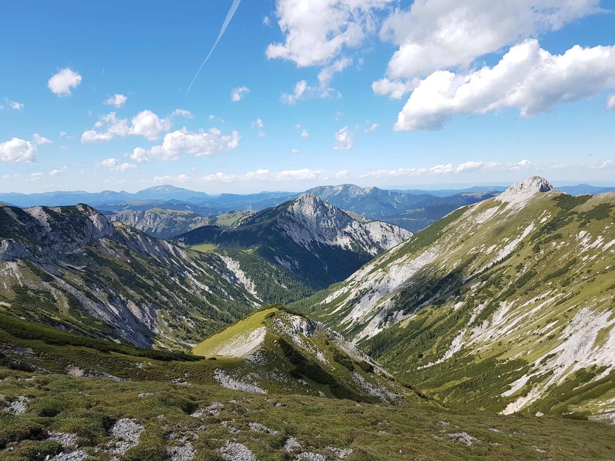
Bus station hiking trails in Mürzer Oberland traverse a landscape characterized by dramatic mountain scenery, including the peaks of Rax, Schneealm, and Hohe Veitsch, which reach nearly 2,000 meters. The region features extensive forests, alpine pastures, and deep river valleys, such as the upper Mürz valley. Limestone mountains contribute to the geological diversity of this forest and water-rich cultural landscape, offering varied terrain for hikers.
Best bus station hiking trails in Mürzer Oberland
- The most popular bus station hiking route…
Last updated: June 29, 2026
4.7
(20)
216
hikers
3.74km
01:27
270m
270m
Moderate hike. Great for any fitness level. Mostly accessible paths. Sure-footedness required.
4.9
(117)
932
hikers
11.2km
04:47
930m
930m
Hard hike. Very good fitness required. Mostly accessible paths. Sure-footedness required.

Sign up for free
4.9
(71)
519
hikers
9.37km
04:21
830m
830m
Moderate hike. Good fitness required. Mostly accessible paths. Sure-footedness required.
4.8
(82)
734
hikers
Moderate hike. Good fitness required. Easily-accessible paths. Suitable for all skill levels.
4.8
(41)
293
hikers
15.2km
06:39
1,040m
1,040m
Hard hike. Very good fitness required. Mostly accessible paths. Sure-footedness required.
Get access to more routes and recommendations from other explorers.
Sign up for free
Already have an account?
Our route recommendations are based on thousands of hikes, rides, and runs completed by other people on komoot.
Start today with a free account
Your next adventure awaits.
Login or Signup
Popular around Mürzer Oberland

North Alpine Trail 01 – Hike across Austria in 49 days

Viennese Alpenbogen – Lower Austria's most beautiful peaks
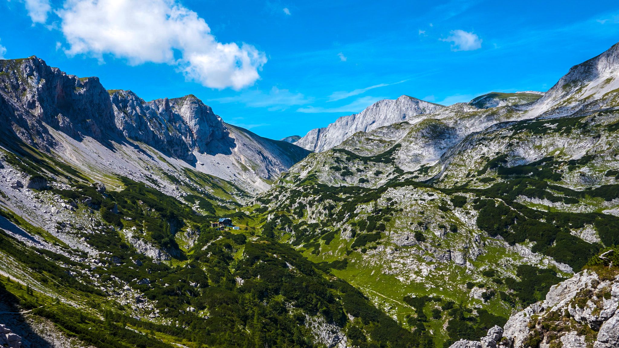
The BergZeitReise – a beautiful long-distance hiking trail across Styria
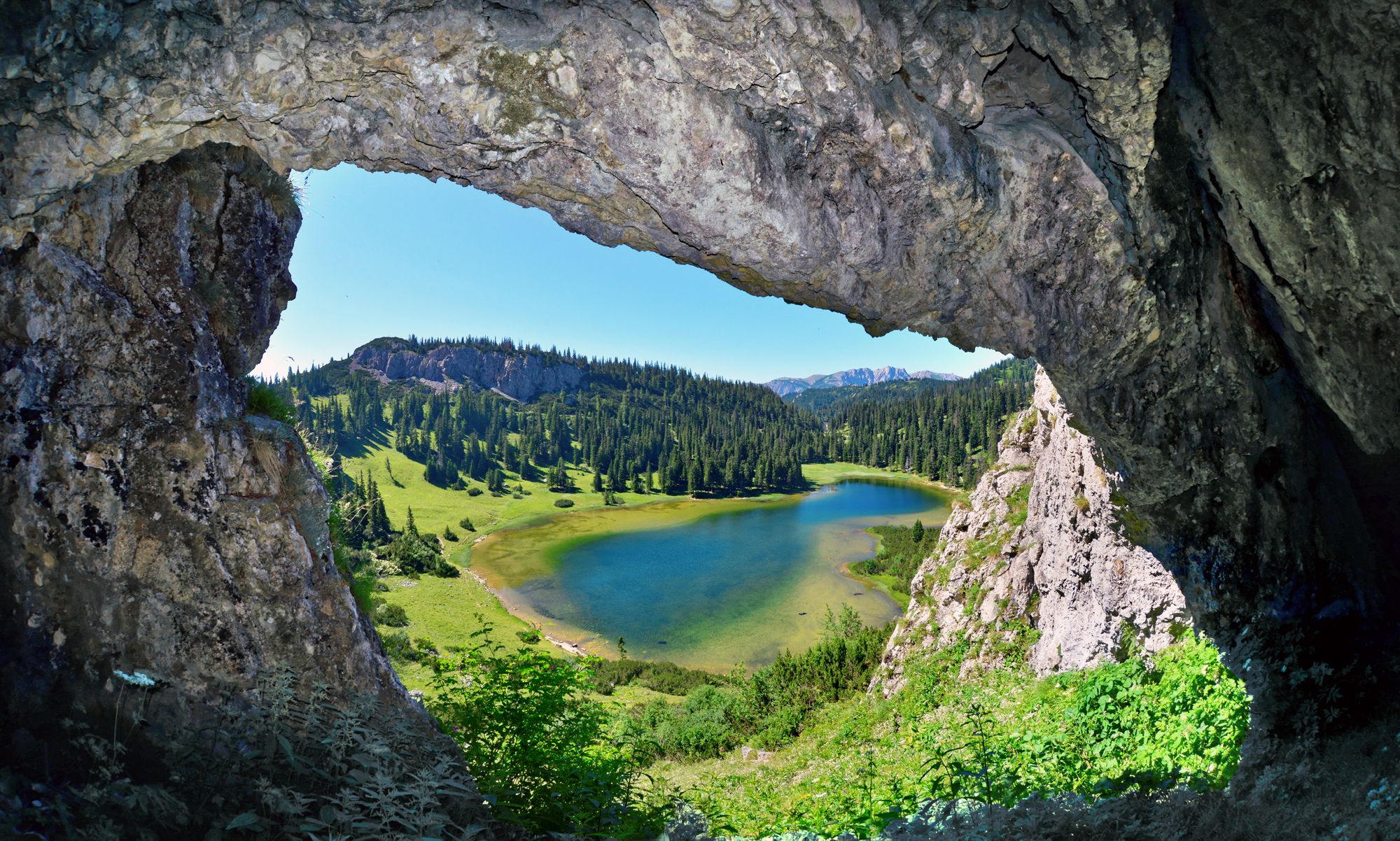
BergZeitReise – from glacier to wine in high Styria
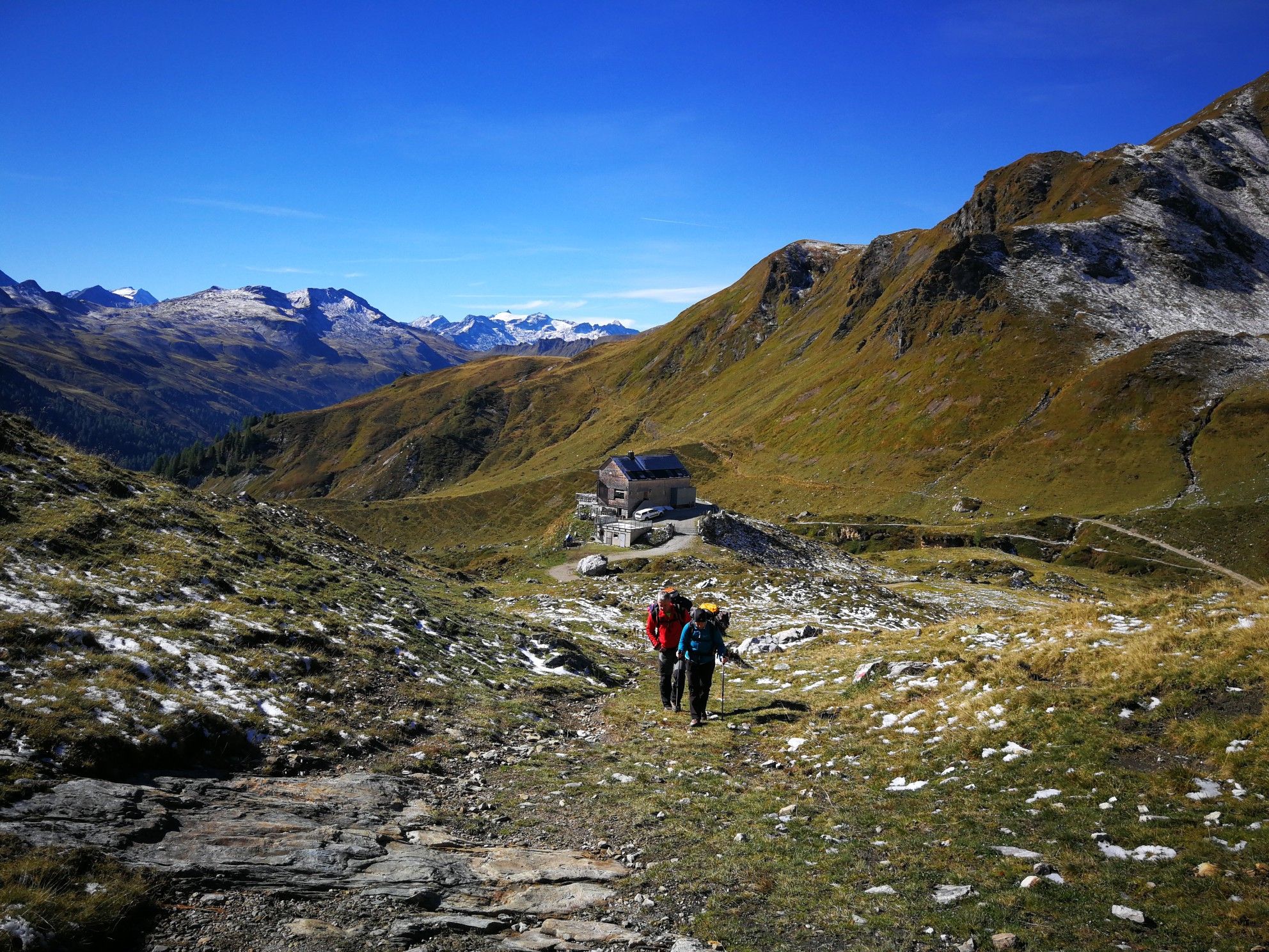
Lower Austria to Carinthia — our favourite huts in Austria
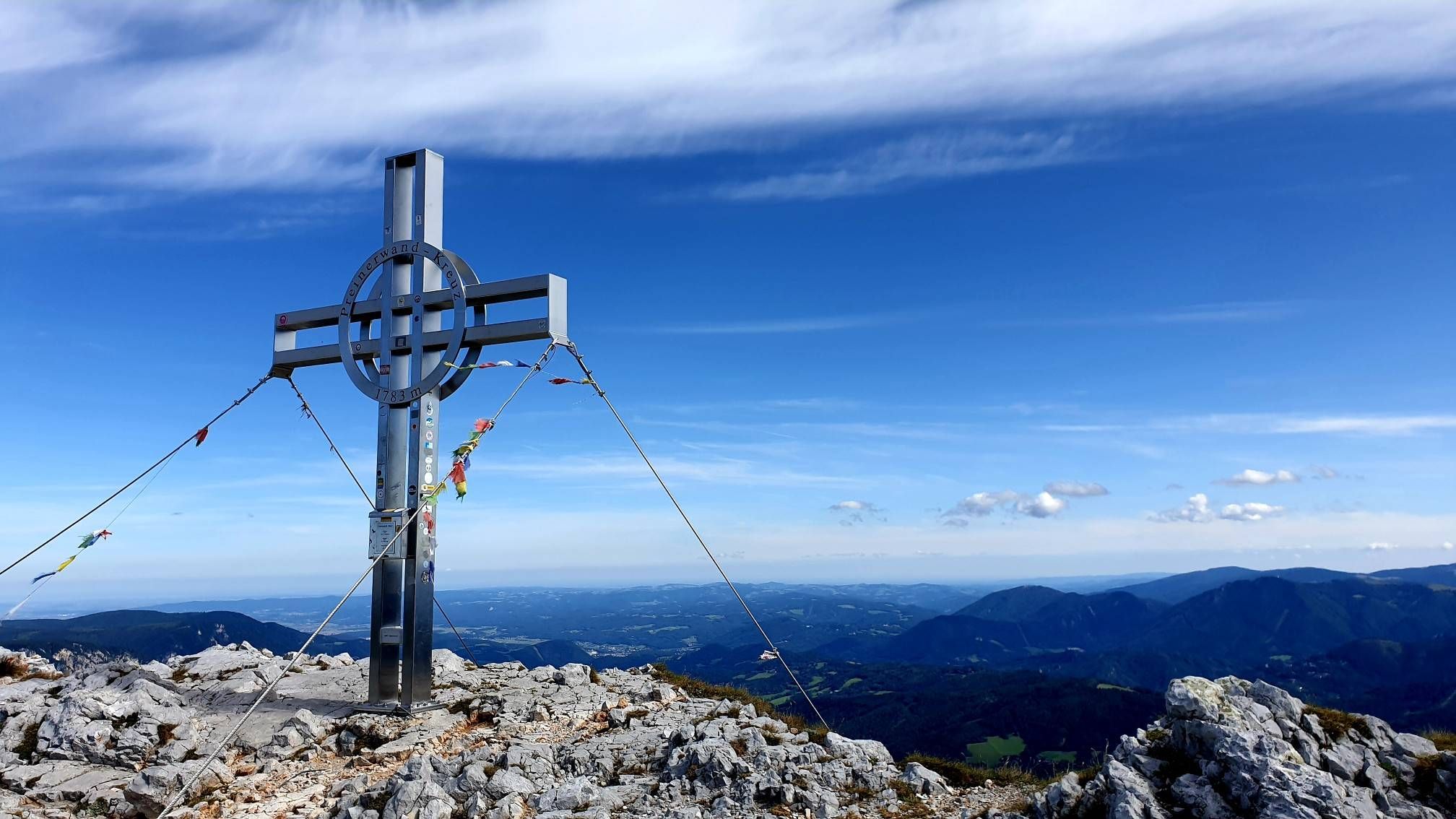
Alpine hiking on Vienna’s doorstep – Rax-Schneeberg Group Mountains

Discover Styria in Austria on foot – ‘From Glacier to Wine’ North Route
Out of town, up the mountain – Vienna's backyard
Hut fun in Austria’s Schneebergland
Family adventures in Vienna's local mountains
Other adventures in Mürzer Oberland


Tips from the Community

The Predigtstuhl (1,902 m) is a distinctive viewpoint on the edge of the Rax plateau with impressive rock faces and a wide panorama. The ascent is via alpine trails and requires sure-footedness and some stamina. At the top, a magnificent view opens up over the Rax high plateaus and the surrounding Vienna Alps – a rewarding destination for experienced mountain hikers.
4
0
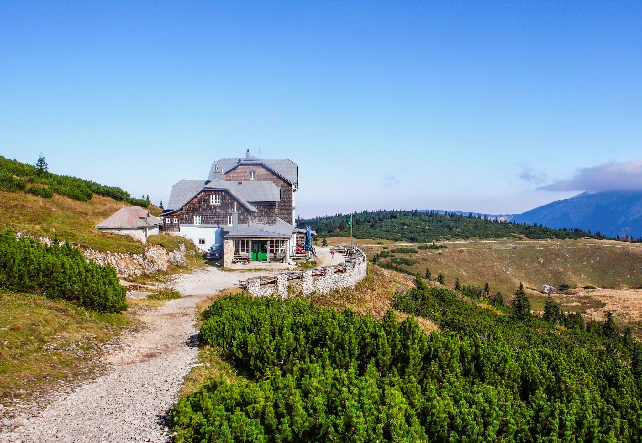
The Karl-Ludwig-Haus is located at 1,804 meters on the edge of the Rax plateau and is one of the most traditional huts in the region. Surrounded by wide alpine meadows and striking rock faces, it is a popular base for hikes across the plateau and to the surrounding peaks. A cozy stop with regional cuisine makes it an ideal resting and starting point for tours on the Rax.
5
0
The Raxkirchlein is a small chapel on the Rax plateau and is considered the highest church in Lower Austria. Simple and exposed, it blends harmoniously into the vast alpine landscape and is a special place of tranquility. From here, a beautiful view also opens up over the plateau and the surrounding peaks of the Rax.
5
0
The Heukuppe, at 2,007 meters, is the highest peak in the Rax and marks the easternmost two-thousand-meter peak in the Alps. From the expansive plateau, an unassuming ascent leads to the highest point, rewarding with an impressive panoramic view over the Vienna Alps and far into the Lower Austrian Prealps. Despite the gentle summit shape, you can feel the alpine vastness and the special location on the edge of the Eastern Alps up here.
5
0

The Panoramaweg connects Lurgbauer with the Schneealpenhaus, or you can also branch off from the Panoramaweg to Windberg or descend via the Almgraben to Altenberg/Rax. The Panoramaweg is quite flat and very suitable for families.
0
0
The Schauerkogel rock terrace is located right next to the Schneealpenhaus.
0
0

Directly at the mountain hut, beautiful
3
0
Beautiful view of the Windberg, in front of it the Halterhütten and the Michlbauerhütte
3
0
Frequently Asked Questions
How many bus station hiking trails are available in Mürzer Oberland?
There are nearly 100 hiking trails in Mürzer Oberland that are accessible from bus stations, offering a wide range of options for all skill levels. You'll find everything from easy walks to challenging mountaineering routes.
Are there easy hiking trails accessible by bus in Mürzer Oberland?
Yes, Mürzer Oberland offers several easy hikes accessible from bus stops. These trails are generally shorter and have less elevation gain, making them suitable for beginners or those looking for a relaxed outing. For example, the route To Waxriegelhaus – Rax and Schneeberggruppe is a moderate option that can be a good starting point.
What kind of terrain can I expect on bus-accessible hikes in Mürzer Oberland?
The Mürzer Oberland region features diverse terrain, from extensive forests and lush alpine pastures to dramatic mountain scenery with peaks like Rax, Schneealm, and Hohe Veitsch. While many trails traverse alpine terrain, requiring appropriate preparation, you can also find gentler paths along river valleys and through the Nature Park Mürzer Oberland.
Are there any circular hiking routes starting from bus stations?
Yes, Mürzer Oberland offers several circular routes that are convenient for bus travelers. These loops allow you to start and end your hike at the same bus stop. An example of a challenging circular route is the Hay dome – Waxriegelhaus (1,361 m) loop from Preiner Gscheid.
What natural landmarks or viewpoints can I see on these trails?
Many bus-accessible trails lead to stunning natural landmarks and viewpoints. You can discover impressive peaks like Windberg Summit (Schneealpe) or Wildalpe Summit, offering magnificent panoramic views of the Styrian alpine landscapes. The region is also known for its natural monuments and potential waterfalls.
Are there mountain huts or refreshment stops along bus-accessible routes?
Absolutely. Many trails in Mürzer Oberland, including those accessible by bus, pass by or lead to traditional mountain huts. These provide excellent opportunities for rest and refreshment. Notable huts include Waxriegelhaus (1,361 m) and Schneealpenhaus, which are often destinations or waypoints on various routes.
What do other hikers enjoy most about the bus-accessible trails in Mürzer Oberland?
The komoot community highly rates the hiking experience in Mürzer Oberland, with an average score of 4.7 out of 5 stars from over 1,500 ratings. Hikers often praise the diverse landscapes, the well-maintained trails, and the accessibility of stunning alpine scenery directly from public transport stops.
Are there family-friendly hiking options from bus stations?
Yes, Mürzer Oberland offers family-friendly options. The region's Nature Park provides exciting nature adventures, such as Austria's first climate change adventure trail in Altenberg an der Rax. While specific easy routes are available, always check the difficulty and length to ensure it suits your family's needs.
Can I bring my dog on these bus-accessible hiking trails?
Generally, dogs are welcome on hiking trails in Mürzer Oberland. However, it's always advisable to keep your dog on a leash, especially in alpine pastures where livestock may be present, and to be mindful of local regulations within the Nature Park. Ensure your dog is fit for the chosen trail's difficulty and length.
What is the best time of year to hike from bus stations in Mürzer Oberland?
The best time for hiking in Mürzer Oberland is typically from late spring to early autumn (May to October), when the weather is most favorable and trails are clear of snow. During snowy winters, the region transforms into a destination for winter sports, but some trails may still be accessible for snowshoeing or ski touring, requiring appropriate gear and experience.
Are there challenging routes accessible by bus for experienced hikers?
Yes, Mürzer Oberland caters to experienced hikers with challenging routes accessible by bus. These often lead to higher elevations and require good physical condition and alpine experience. An example is the Ascent to Schneealpe – Schneealpenhaus loop from Altenberg an der Rax, which involves significant elevation gain.
Most popular routes in Mürzer Oberland
Most popular attractions in Mürzer Oberland

Get inspired with the komoot mobile app


Explore more
Browse the best Hikes in other regions.
