The best walks and hikes in Sierra De Huetor
4.5
(2237)
14,575
hikers
95
hikes
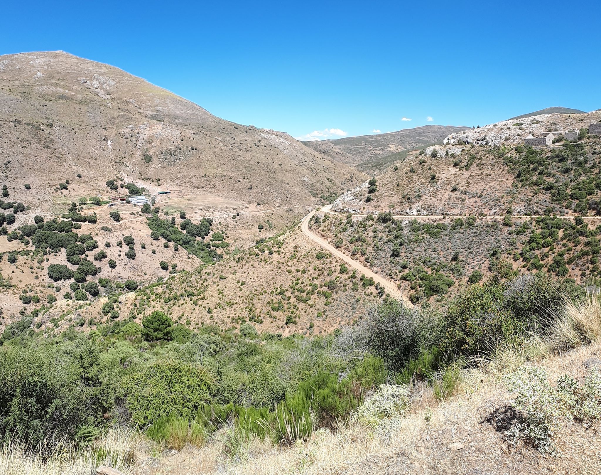
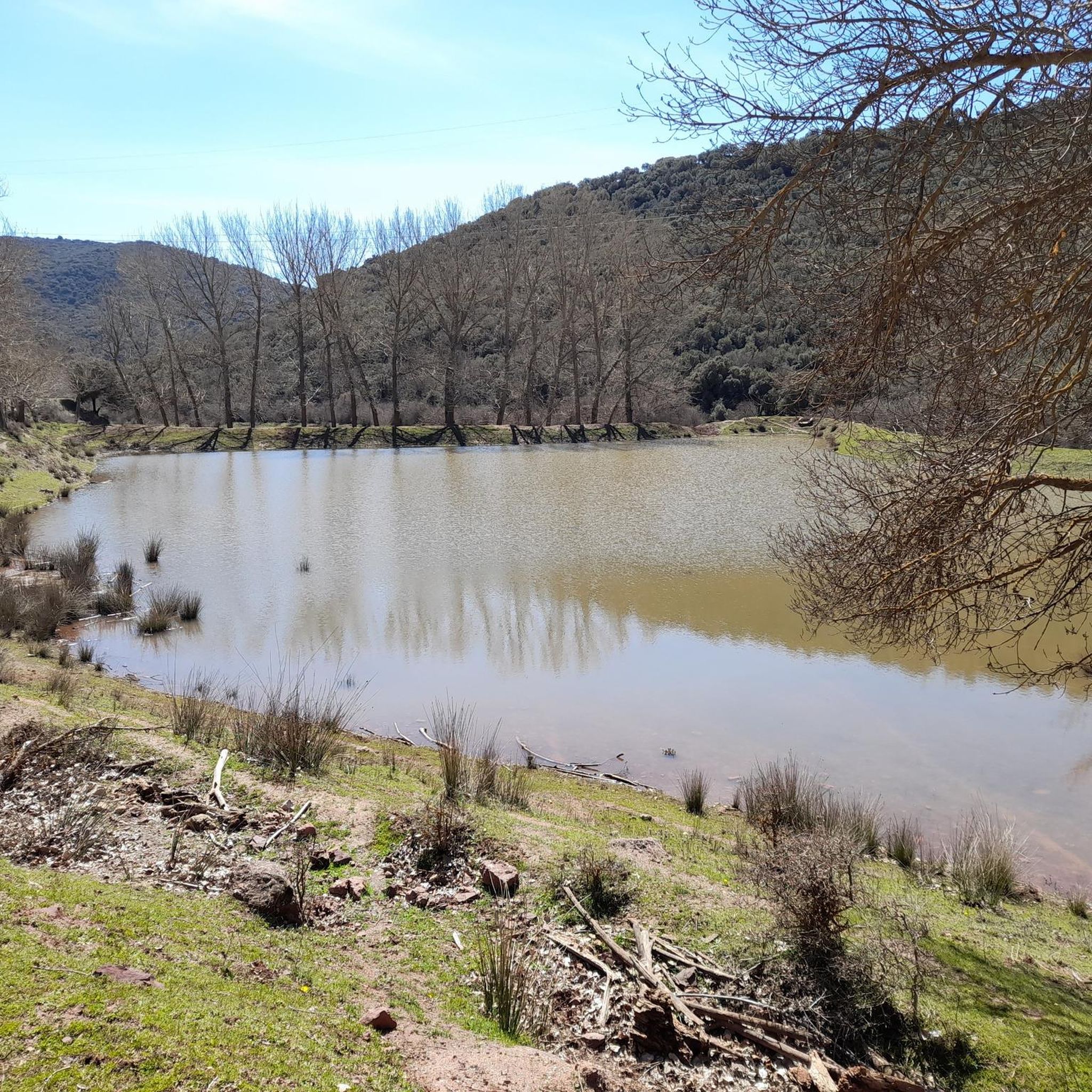
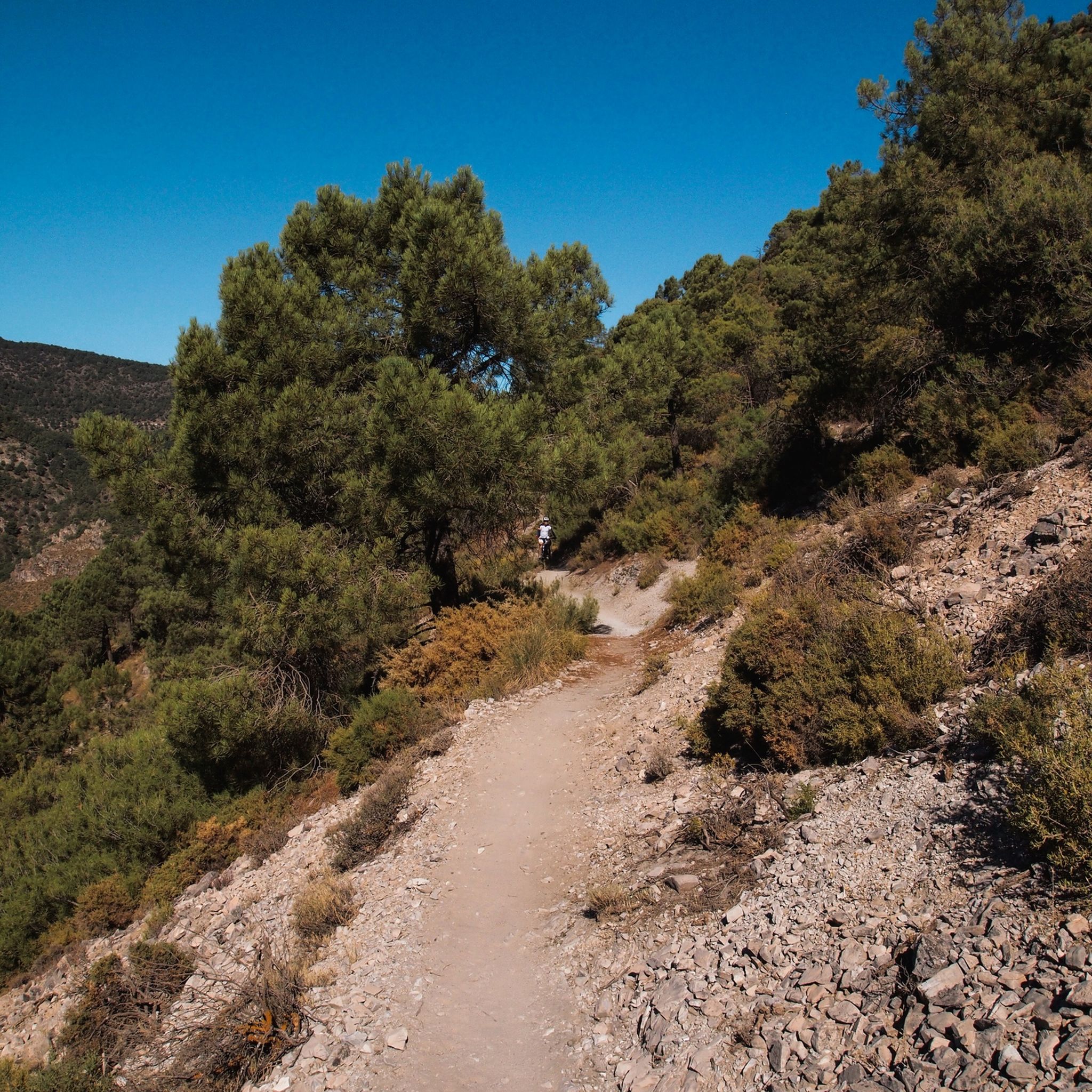
Hiking trails in Sierra De Huetor traverse a diverse landscape northeast of Granada, Spain, characterized by elevations ranging from 900 to nearly 2,000 meters. The region features extensive pine and holm oak forests, limestone formations, and numerous springs that feed rivers like the Darro and Fardes. Hikers can experience varied terrain, from rocky outcrops and meadows to dramatic geological features, often with panoramic views of the Sierra Nevada mountains.
Best hiking trails in Sierra De Huetor
- The most popular hiking…
Last updated: October 10, 2026
4.8
(41)
147
hikers
15.2km
04:52
480m
490m
Hike the moderate 9.5-mile Cañada del Sereno Trail in Sierra de Huétor Natural Park, enjoying pine forests and views of the Sierra Nevada.
4.6
(22)
122
hikers
6.98km
02:25
340m
340m
Hike the difficult 4.3-mile Cruz de Víznar Trail in Sierra de Huétor for panoramic views of Sierra Nevada and Granada.

4.9
(15)
107
hikers
4.84km
01:30
180m
180m
Hike the easy 3.0-mile Sendero de las Trincheras del Maúllo loop in Sierra de Huétor, exploring historical trenches and enjoying panoramic v
4.5
(17)
46
hikers
6.39km
01:50
130m
120m
Hike the 4.0-mile Fuente del Fraile-Sanatorio Trail in Sierra de Huétor, exploring historical trenches and sanatorium ruins.
4.8
(4)
29
hikers
8.14km
03:27
510m
510m
Hike the difficult 5.1-mile Caves and Crosses of the Sierra de la Alfaguara Trail, exploring natural caves and historic crosses with panoram
Get access to more routes and recommendations from other explorers.
Already have an account?
Our route recommendations are based on thousands of hikes, rides, and runs completed by other people on komoot.
Start today with a free account
Your next adventure awaits.
Popular around Sierra De Huetor



Tips from the Community

It's not a cemetery, it's a forest house.
0
0

A place that concentrates all types of legends and that has been the subject of all types of programs about paranormal phenomena.
1
0

From the magnificent hill dominated by the white cross of Alfacar, you can see an extensive landscape in which Sierra Elvira, Sierra Nevada and the Cubillas reservoir stand out, among others.
2
0

Very simple route with little slope. Ideal to do with children so that they know part of our history.
0
0

In the Sierra de Alfaguara there is an old tuberculosis hospital that is currently in ruins. A German woman, Berta Wihelmi, built this building altruistically in order to treat this disease that had taken the life of her brother. It is easy to get there by bicycle through a circular road that surrounds the hill where it is located.
0
0

This cave is one of the most outstanding in the Sierra de Huétor Natural Park, you can easily access its main caverns closest to the outside and contemplate the imposing columns that support it.
2
0
Casa Hogar de FAISEM “Los Peñoncillos”, open since 2021. The place was previously a forest house. It has twenty places for stays between one and three months. FAISEM is the Andalusian Public Foundation for the Social Integration of People with Mental Illness.
2
0
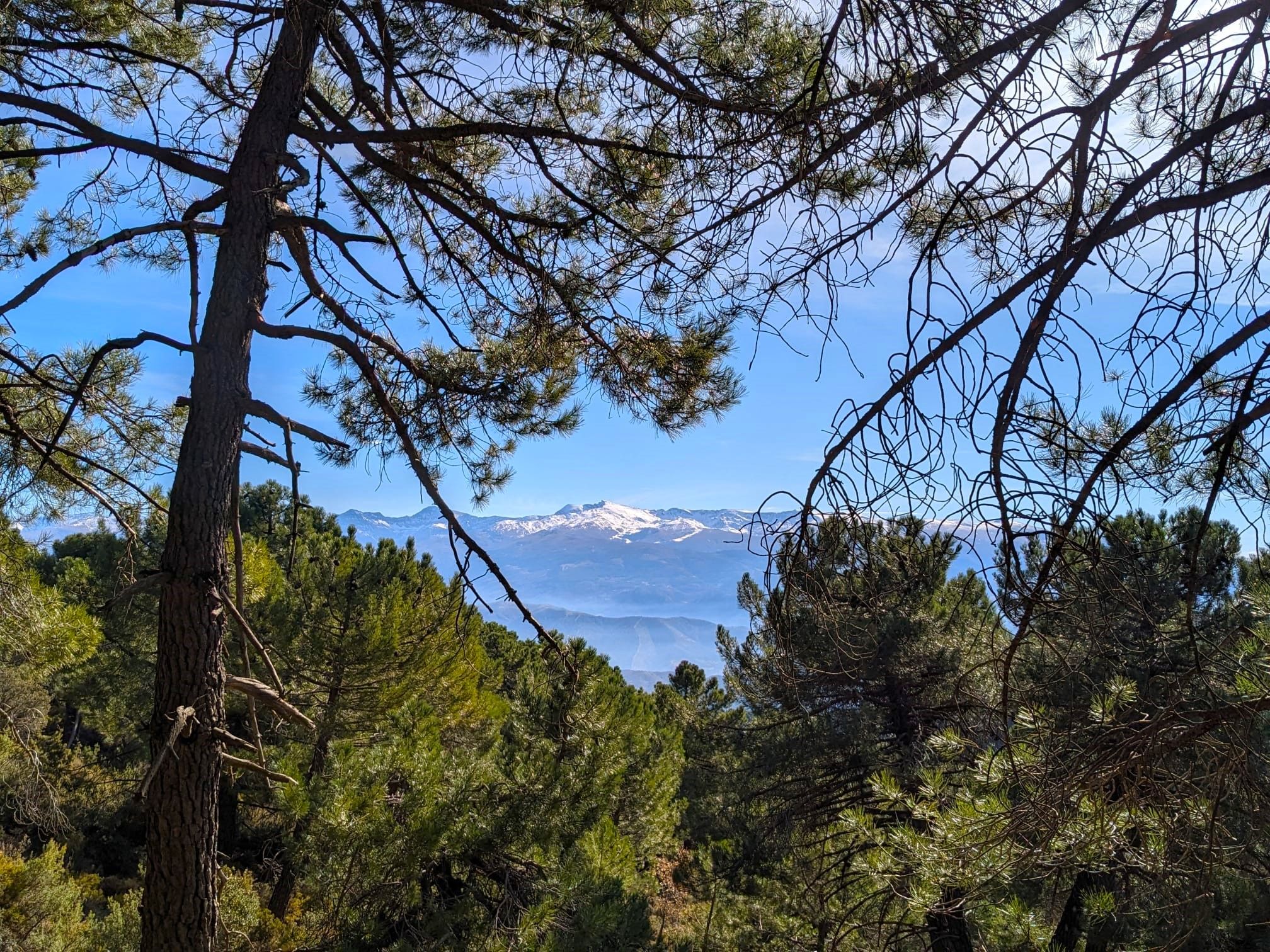
Impressive views of the Sierra de Huétor Natural Park at your feet and in the distance the highest peaks of Sierra Nevada, with snow for many months of the year.
1
1
Frequently Asked Questions
How many hiking trails are available in Sierra De Huetor?
Sierra De Huetor offers a wide network of over 80 marked hiking trails, catering to various fitness levels. These include 11 easy routes, 50 moderate excursions, and 25 more challenging ascents.
What kind of terrain can I expect on hikes in Sierra De Huetor?
The park features incredibly diverse terrain, from extensive pine and holm oak forests to dramatic limestone formations, rocky outcrops, and rolling meadows. You'll encounter varied landscapes, including cliffs, caves, and narrow ravines, often providing breathtaking panoramic views of the Sierra Nevada mountains.
Are there any family-friendly hiking options in Sierra De Huetor?
Yes, Sierra De Huetor has several easy routes suitable for families. For example, The Trenches Itinerary is an easy 4.8 km trail that can be completed in under two hours, offering a gentle introduction to the park's natural beauty and historical elements.
Can I bring my dog on the hiking trails in Sierra De Huetor?
Generally, dogs are welcome on trails in Sierra De Huetor, but it's always recommended to keep them on a leash, especially in areas with wildlife or near livestock. Be mindful of local regulations and ensure your dog is well-behaved to protect the park's natural environment.
Are there any circular walks in Sierra De Huetor?
Many trails in Sierra De Huetor are designed as circular routes, allowing you to start and end at the same point. While specific circular routes aren't detailed here, the park's extensive network makes it easy to plan loops, often starting from popular access points like the Puerto de Lobo visitor center.
What natural features or landmarks can I see while hiking?
Hikers can discover numerous natural features and historical landmarks. The park is known for its limestone caves, such as the Cave of the Marbles, and various springs like La Teja Spring. You might also encounter historical remnants like the well-preserved trenches from the Spanish Civil War, particularly along routes like the Fuente del Fraile-Sanatorio Trail.
Where can I find the best viewpoints in Sierra De Huetor?
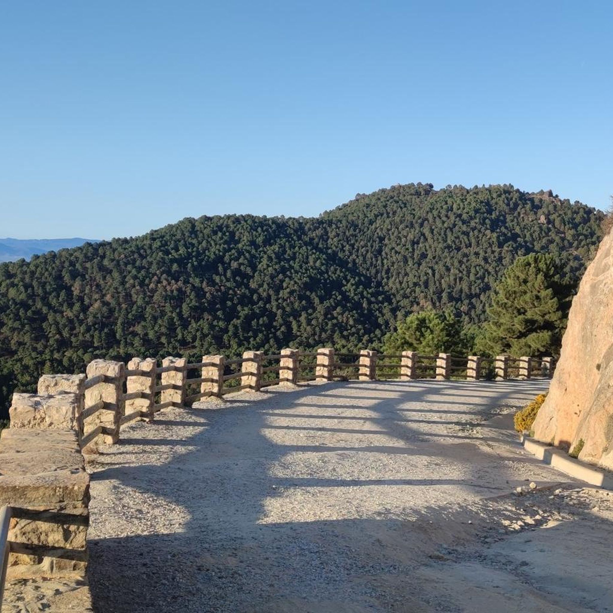
For stunning panoramic views, particularly of the snow-capped Sierra Nevada mountains, consider trails that lead to higher elevations. Peaks like Cerro del Corza and Peñón de la Cruz offer exceptional vistas. The Los Pozos Viewpoint is also a popular spot for expansive scenery.
What is the best time of year to go hiking in Sierra De Huetor?
The best time to hike in Sierra De Huetor is typically during spring (April-June) and autumn (September-November) when temperatures are mild and the landscape is vibrant. Summer can be hot, especially at lower elevations, while winter offers a different experience, with higher areas potentially covered in snow.
Is there parking available at the trailheads?
Yes, parking is generally available at popular trailheads and access points throughout Sierra De Huetor. The Puerto de Lobo visitor center near Víznar is a convenient starting point with parking facilities, and various picnic areas like Fuente de los Potros and La Alfaguara also offer parking.
What kind of wildlife might I encounter on the trails?
Sierra De Huetor's diverse habitats support a rich array of wildlife. You might spot foxes, rabbits, wild boar, and mountain goats. The park is also a Special Protection Area for birds, so keep an eye out for species like golden eagles and booted eagles. The blue lysandra bellargus ssp alfacariensis butterfly is endemic to the region.
What do other hikers enjoy most about hiking in Sierra De Huetor?
The area is highly rated by the komoot community, with an average score of 4.6 stars from over 700 reviews. Hikers often praise the diverse landscapes, the extensive network of well-maintained trails, and the stunning panoramic views, especially of the Sierra Nevada mountains. The blend of natural beauty and historical significance is also frequently highlighted.
Are there any challenging hikes for experienced trekkers?
Yes, Sierra De Huetor offers several challenging routes for experienced hikers. The park has 25 difficult trails, including the Cruz de Víznar Trail, a 7.0 km path with significant elevation gain, and the Caves and Crosses of the Sierra de la Alfaguara Trail, which covers over 8 km with substantial ascents.
Most popular routes in Sierra De Huetor
Most popular attractions in Sierra De Huetor

Get inspired with the komoot mobile app


Explore more
Browse the best Hikes in other regions.
