The best hikes from bus stations in Sierra De Huetor
4.5
(1937)
10,933
hikers
215
hikes
Bus station hiking trails in Sierra De Huetor traverse a diverse landscape northeast of Granada, Spain. The region features varied terrain, ranging from 900 to nearly 2,000 meters in altitude, characterized by extensive woodlands of pine, holm oak, and maple. Limestone geology has sculpted narrow ravines and steep cliffs, while rivers like the Darro and Fardes flow through the park. Numerous viewpoints offer vistas of the surrounding countryside and the Sierra Nevada National Park.
Best bus station hiking trails in…
Last updated: June 29, 2026
4.9
(19)
66
hikers
Moderate hike. Good fitness required. Easily-accessible paths. Suitable for all skill levels.
4.8
(8)
43
hikers
8.91km
02:55
400m
400m
Moderate hike. Good fitness required. Easily-accessible paths. Suitable for all skill levels.

Sign up for free
5.0
(5)
22
hikers
7.59km
03:09
470m
470m
Hard hike. Good fitness required. Sure-footedness, sturdy shoes and alpine experience required.
4.3
(3)
15
hikers
16.4km
04:59
560m
560m
Moderate hike. Good fitness required. Easily-accessible paths. Suitable for all skill levels.
4.3
(4)
16
hikers
9.57km
02:47
250m
250m
Moderate hike. Good fitness required. Easily-accessible paths. Suitable for all skill levels.
Get access to more routes and recommendations from other explorers.
Sign up for free
Already have an account?
Our route recommendations are based on thousands of hikes, rides, and runs completed by other people on komoot.
Start today with a free account
Your next adventure awaits.
Login or Signup
Popular around Sierra De Huetor


Tips from the Community

It's not a cemetery, it's a forest house.
0
0
Very easy route, house without any interest, there is a place to sit and rest or eat something.
0
0

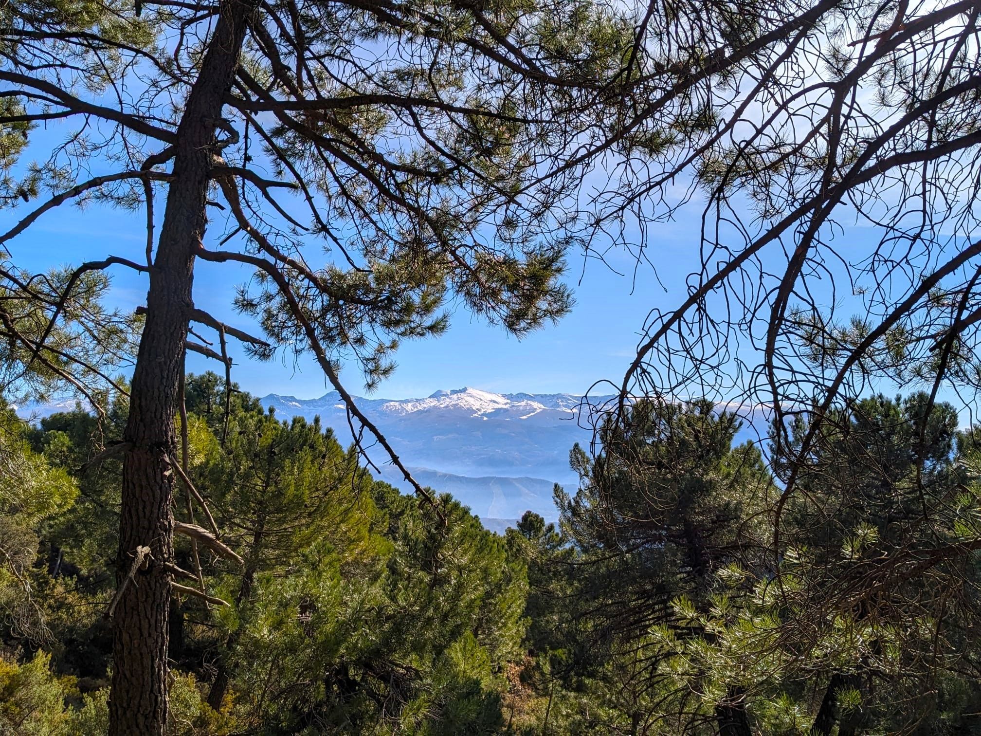
Very nice views from Cerro de la Cruz
0
0

You can linger and enjoy the view at almost every point.
0
0

Good section at the beginning or end of your hike to stop for photos
0
0

There was a time when this town dedicated much of its agricultural activity to the cultivation of mulberry trees to feed silkworms.
2
0
Casa Hogar de FAISEM “Los Peñoncillos”, open since 2021. The place was previously a forest house. It has twenty places for stays between one and three months. FAISEM is the Andalusian Public Foundation for the Social Integration of People with Mental Illness.
2
0

I call this rock on the road "the gorilla"
1
0
Frequently Asked Questions
How many bus-accessible hiking trails are available in Sierra de Huetor?
Sierra de Huetor offers a wide selection of hiking routes accessible by bus, with over 200 trails available. This includes 84 easy, 90 moderate, and 32 difficult routes, ensuring options for various fitness levels and preferences.
What kind of terrain can I expect on bus-accessible hikes in Sierra de Huetor?
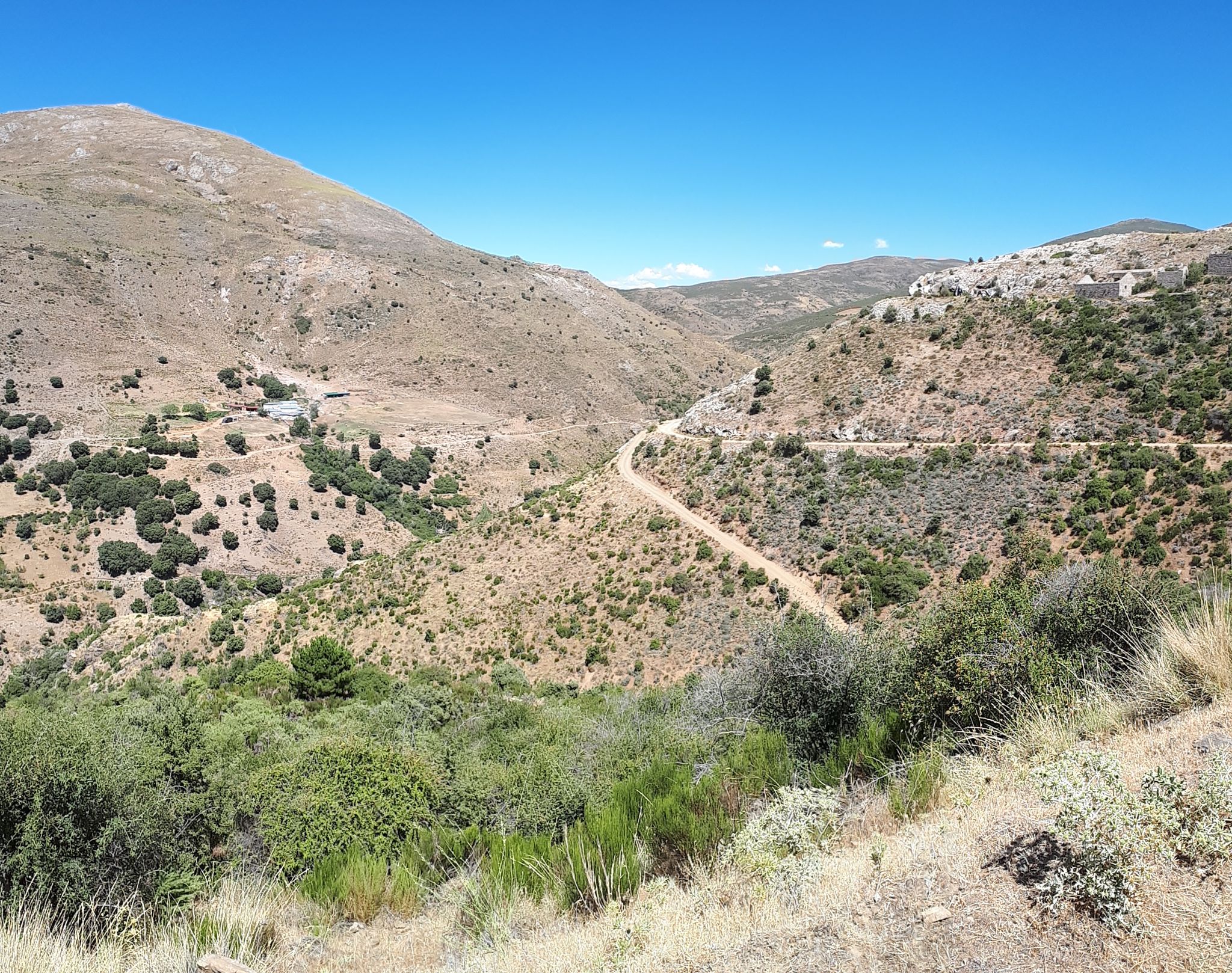
The terrain in Sierra de Huetor is quite diverse, ranging from 900 to nearly 2,000 meters in altitude. You'll encounter extensive woodlands of pine, holm oak, and maple, as well as limestone geology with dramatic ravines and cliffs. Many paths are shaded, making them pleasant even during warmer periods.
Are there options for different difficulty levels among the bus-accessible trails?
Yes, the trails accessible by bus cater to all levels. You can find 84 easy routes for a relaxed stroll, 90 moderate trails for a more engaging experience, and 32 difficult routes for seasoned hikers seeking a challenge. For example, the View of Huétor de Santillán – Casa Forestal de Bolones loop from Huétor de Santillán is a moderate option.
What natural features or landmarks can I see on these trails?
Many bus-accessible trails lead to fascinating natural features. You can explore the diverse forests of Sierra de Huétor, discover captivating cave systems like the Cave of the Marbles, or visit springs such as La Teja Spring. The region's limestone geology also creates impressive ravines like Barranco de Polvorite.
Are there any historical sites along the bus-accessible hiking routes?
Yes, some trails offer a glimpse into the region's history. You might pass by ruins of fortifications and trenches from the Spanish Civil War, such as the Maúllo Trench. Another notable historical point is the Sanatorio Antituberculoso de la Alfaguara.
Where can I find panoramic views on bus-accessible hikes?
Sierra de Huetor offers superb viewpoints (miradores) accessible from various bus stops. For breathtaking panoramic vistas of the surrounding countryside and the majestic Sierra Nevada, including Pico Veleta, consider routes near Víznar and Huétor-Santillán. The Los Pozos Viewpoint is a great spot to enjoy the scenery.
Are there circular routes available from bus stations?
Yes, many of the bus-accessible trails are circular, allowing you to start and end your hike at the same point, often conveniently near a bus stop. Examples include the Amphibian Pond loop from Víznar or the Lorca Memorial Site loop from Alfacar.
Can I bring my dog on these bus-accessible trails?
Generally, dogs are welcome on trails in Sierra de Huetor, but it's always best to check specific park regulations or individual trail rules, especially concerning protected areas or wildlife. Keep your dog on a leash and ensure you clean up after them to preserve the natural environment.
What is the best time of year to hike in Sierra de Huetor from a bus station?
The diverse forests provide shaded paths, making hiking enjoyable even during warmer periods. However, spring and autumn offer particularly pleasant temperatures and vibrant landscapes. Winter hiking is also possible, but higher elevations may experience snow, requiring appropriate gear.
Do I need any permits to hike in Sierra de Huetor from a bus station?
For general hiking on marked trails within Sierra de Huetor Natural Park, permits are typically not required. However, if you plan to engage in specific activities like caving or accessing certain restricted areas, it's advisable to check with the Puerto Lobo visitor center for any necessary permissions.
What do other hikers say about the bus-accessible trails in Sierra de Huetor?
The bus-accessible trails in Sierra de Huetor are highly regarded by the komoot community, with an average rating of 4.5 stars. Hikers often praise the well-maintained paths, the stunning panoramic views of the Sierra Nevada, and the rich biodiversity encountered along the routes.
Most popular routes in Sierra De Huetor
Most popular attractions in Sierra De Huetor

Get inspired with the komoot mobile app


Explore more
Browse the best Hikes in other regions.
