The best MTB trails in Ancares - Courel
4.9
(34)
415
riders
39
rides
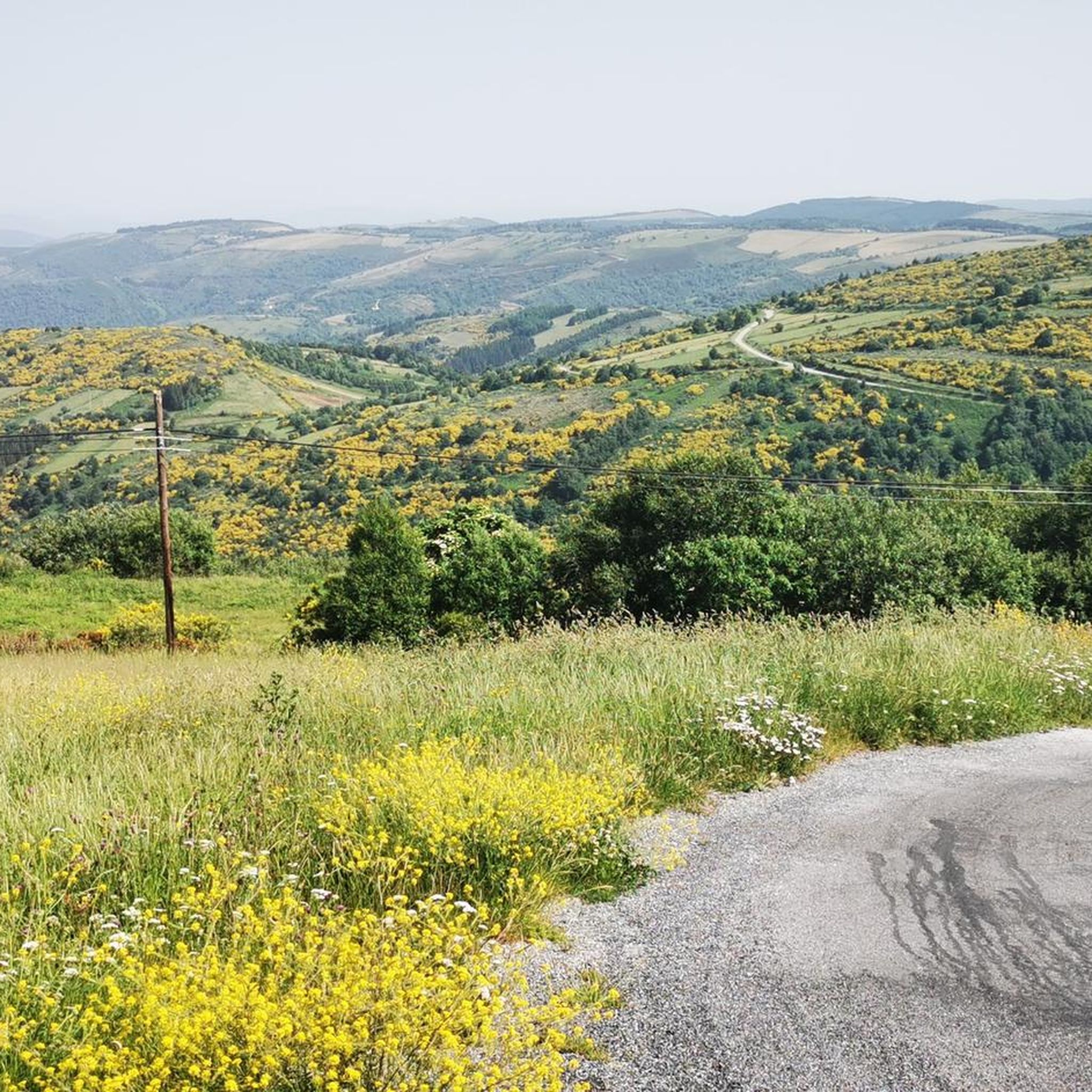
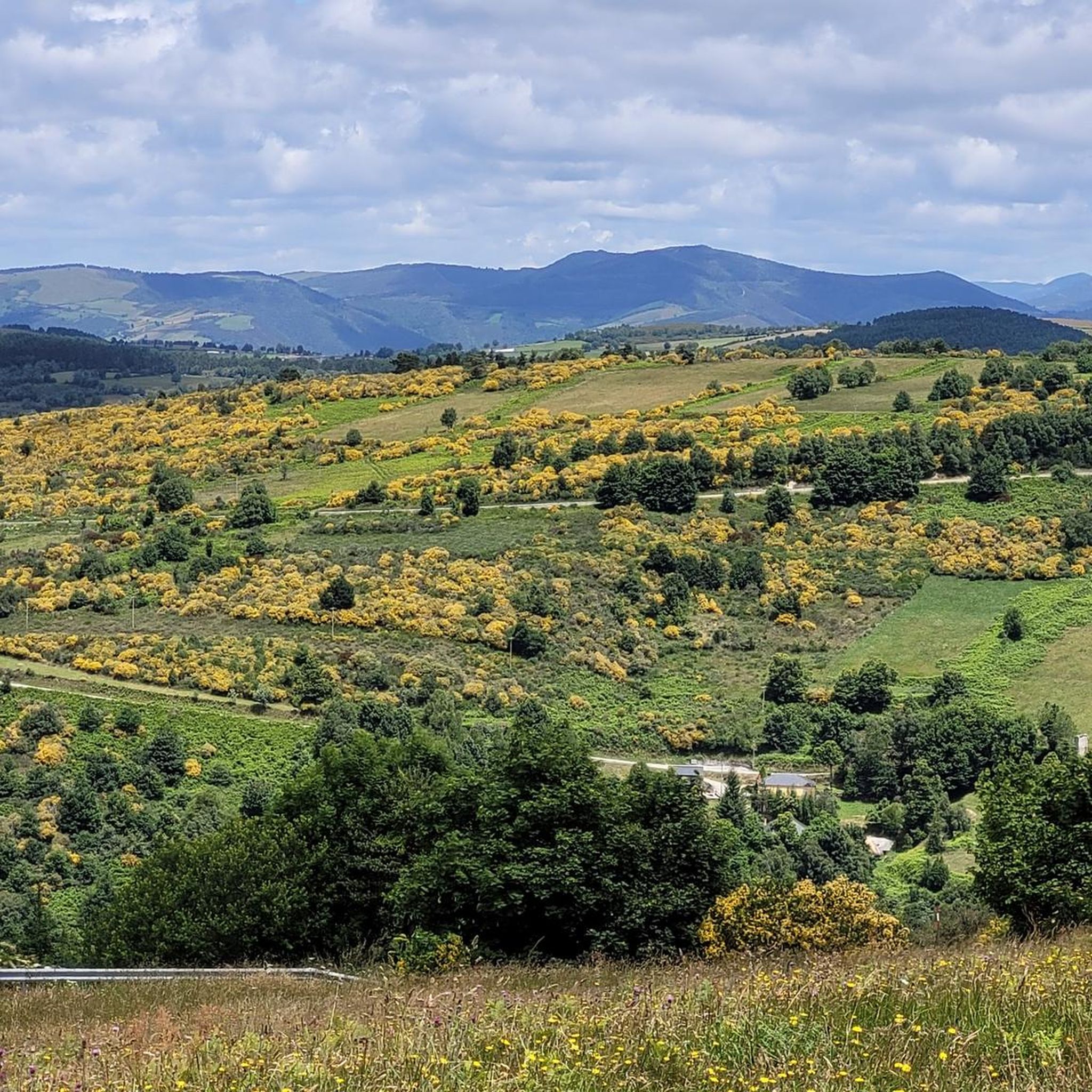
Mountain biking in Ancares - Courel offers a diverse landscape of rugged mountains, deep river valleys, and extensive ancient woodlands in northwestern Spain. This Biosphere Reserve features challenging terrain with significant elevation changes, traversing both remote passes and traditional villages. Riders can explore high-altitude grasslands, moorlands, and areas of unique geological interest, including limestone outcrops and ancient folds. The region's pristine condition and rich ecosystems provide a natural setting for varied mountain bike routes.
Best mountain bike trails in Ancares - Courel
- The most popular mountain bike trail is Paradela y Penamil desde A Pobra — circular del río Navia, a 19.3 miles (31.1 km) trail that takes 3 hours 10 minutes to complete. This difficult route follows the Navia River, offering varied terrain and scenic views.
- Another top favourite among local mountain bikers is As Nogais desde Piedrafita — circular por la Zona Especial de Conservación Los Ancares-Courel, a difficult 32.7 miles (52.6 km) path. This route explores the protected Ancares-Courel area, featuring significant climbs and expansive natural scenery.
- Local mountain bikers also love the Pico dos Tres Bispos Loop Trail, a 21.9 miles (35.3 km) trail leading through mountainous terrain, often completed in about 3 hours 18 minutes. This difficult loop offers panoramic views from high elevations.
- Mountain biking in Ancares - Courel is defined by dramatic highland landscapes, deep river valleys, and ancient woodlands. The network offers options for both moderate and difficult routes, catering to various skill levels.
- The routes in Ancares - Courel are highly rated by the komoot community with an average score of 5.0 stars from more than 20 reviews. More than 200 mountain bikers have used komoot to explore Ancares - Courel's varied terrain.
Last updated: June 24, 2026
31.1km
03:10
1,120m
1,120m
Hard mountain bike ride. Very good fitness required. Advanced riding skills necessary.
Hard mountain bike ride. Very good fitness required. Suitable for all skill levels.

Sign up for free
1
riders
35.3km
03:18
1,100m
1,100m
Hard mountain bike ride. Very good fitness required. Suitable for all skill levels.
63.7km
06:39
2,230m
2,240m
Hard mountain bike ride. Very good fitness required. Suitable for all skill levels.
4.8
(8)
160
riders
114km
09:11
2,610m
2,610m
Hard mountain bike ride. Very good fitness required. Suitable for all skill levels.
Get access to more routes and recommendations from other explorers.
Sign up for free
Already have an account?
Our route recommendations are based on thousands of hikes, rides, and runs completed by other people on komoot.
Start today with a free account
Your next adventure awaits.
Login or Signup
Popular around Ancares - Courel



Tips from the Community

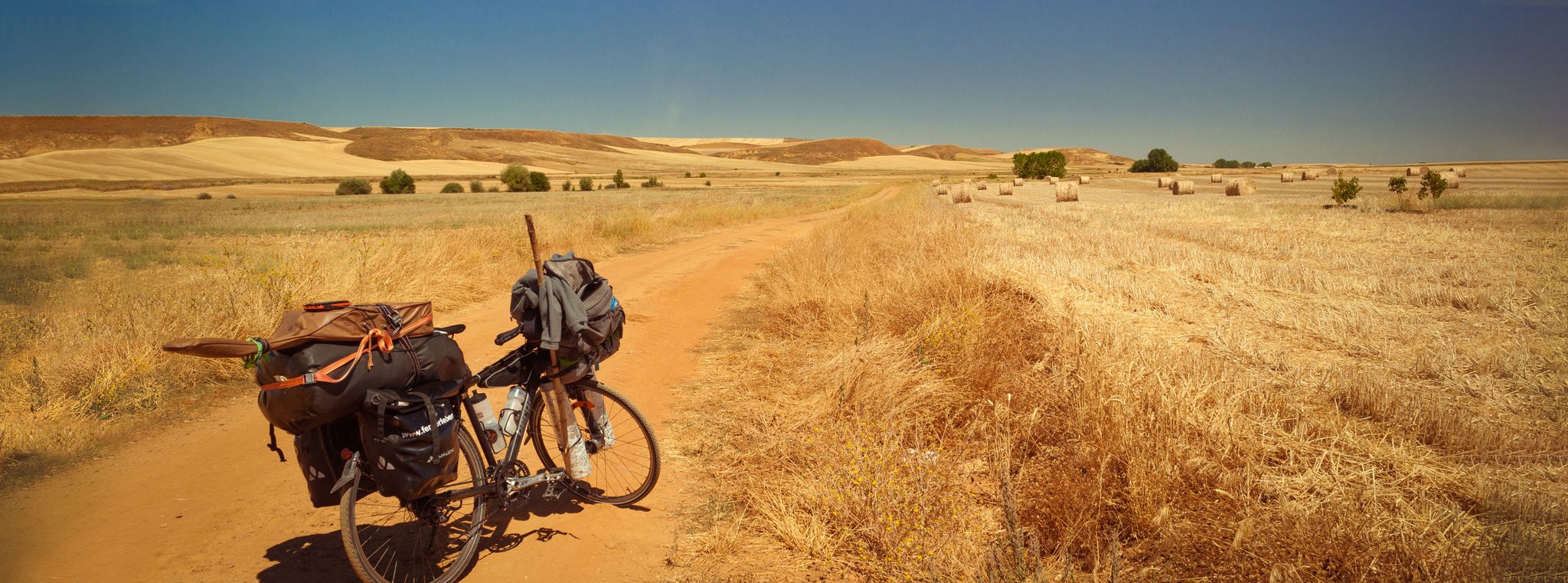
Located at the entrance to Triacastela, this wooden sculpture depicts a classic pilgrim with a staff, cloak, and hat. It's one of the most photographed spots on the Camino as it passes through this town. A work of local craftsmanship, it pays homage to the thousands of pilgrims who have passed through this historic Galician village, which was one of the first documented stops on the Camino de Santiago route. A good excuse to stop, stretch your legs, and take a symbolic photo before entering the town. From here, decide whether to continue along the San Xil route (shorter and more mountainous) or the Samos route (longer and with a monastery). Both routes are beautiful, but very different.
0
0
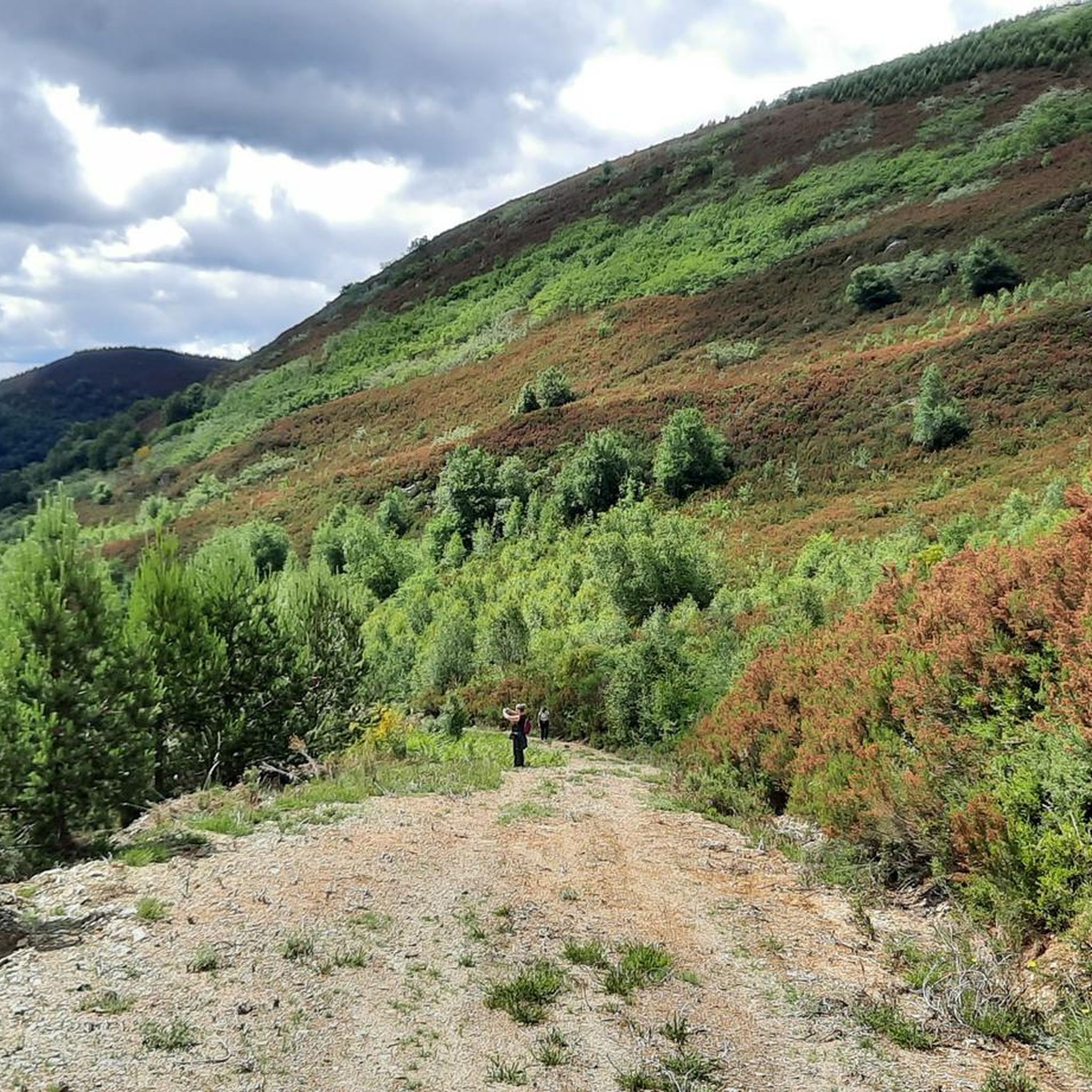
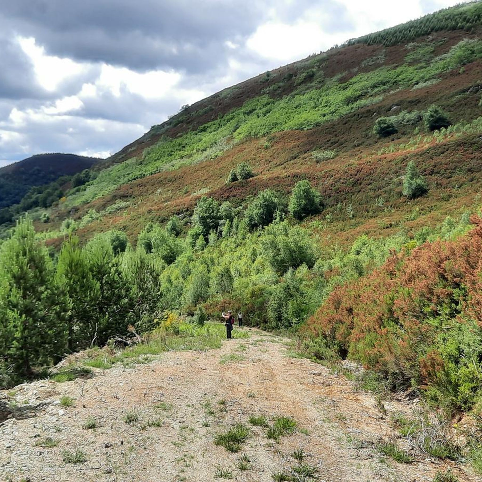
One of the highest points on the French Way of the Camino de Santiago, located between Triacastela and Fonfría, already in the province of Lugo. At 1,335 meters above sea level, this peak offers a natural viewpoint overlooking the Galician mountains. The area is often exposed to wind and changeable weather, even in summer, but the views and the feeling of having reached a milestone more than compensate. There's a hostel/bar right at the summit, useful as a stopping point for pilgrims and cyclists. Dress warmly before reaching the top: the temperature here can drop suddenly, even on sunny days. If you're on a mountain bike or e-bike, make sure you have good traction on descents and that your brakes are checked: the descent towards Fonfría is fast and winding. It's a good place to rest and refill your water or coffee before continuing.
1
0
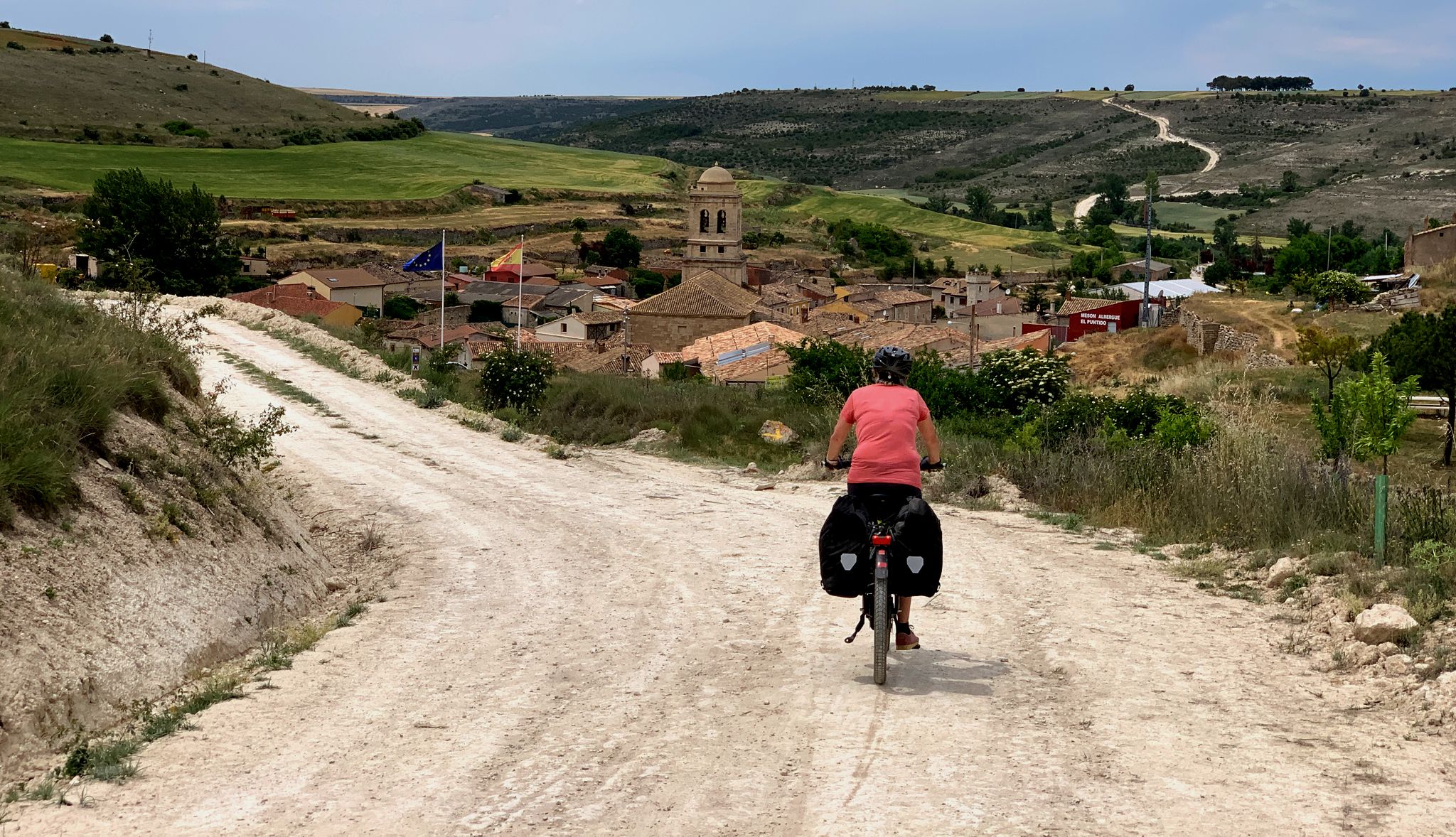
This 12th-century Romanesque church is located in Ruitelán, a small village in the El Bierzo region of León, on the French Way of the Camino de Santiago. It's a simple yet characterful stone church with a north portal facing the pilgrims' route. This point marks the true beginning of the climb to O Cebreiro, one of the most demanding sections of the route for both hikers and cyclists. If you're on a mountain bike or e-bike, this is a good opportunity to take a short break before starting the ascent. The village offers shade, tranquility, and some basic amenities. From here, the incline becomes noticeable. If you're riding an e-bike, check the battery level before continuing. From Ruitelán to the summit, it's about 7 km with consistent inclines. The terrain alternates between asphalt and dirt tracks, so it's advisable to have tires with good grip, especially if it has rained. On clear days, the view from the village towards the valley is magnificent.
0
0
One of the oldest monasteries in the West, dating back to the 6th century and the heart of the Ribeira Sacra region of Lugo. Its large cloister is the largest in Spain, and the complex is impressive both for its size and its history linked to the Camino de Santiago. Arriving via the detour from the French Way is a gift: a peaceful stretch, with a river and picture-perfect vegetation. However, once you leave, you have to climb back… and your legs remember.
1
0
Pedrafita do Cebreiro: a legendary gateway to Galicia on the Camino de Santiago. Between pallozas, fog, and over 1,300 meters of altitude, the pass has been a test for pilgrims and cyclists for centuries. Cyclist's tip: climbing it is tough, but the reward is feeling like you're pedaling with one foot in history.
0
0
Remains of a 14th-century fortress that once stood watch over the Neira Valley. Although in ruins, it still retains the legendary air of the old Galician lineages. Cyclist's tip: the climb is demanding, but arriving and finding this solitary tower makes the journey seem twice as worthwhile.
0
0
Small and peaceful, it's famous for its cold springs, which have given the area its name and provided relief to pilgrims for centuries. Stone and slate houses and Galician tranquility. Cyclist tip: the climb is noticeable, but drinking from the spring here is heavenly.
0
0

Frequently Asked Questions
What kind of terrain can I expect on mountain bike trails in Ancares-Courel?
The Ancares-Courel region offers a diverse and rugged landscape. You'll encounter deep river valleys, dramatic highland areas, and extensive ancient woodlands. Trails often feature significant elevation changes, traversing remote mountain passes, high-altitude grasslands, and moorlands. The geological diversity, including limestone outcrops and ancient folds, also contributes to varied riding surfaces.
Are there mountain bike routes suitable for beginners in Ancares-Courel?
While Ancares-Courel is known for its challenging terrain, there are 13 moderate mountain bike routes available. These routes offer a good introduction to the region's landscapes without the extreme demands of the more difficult trails. For specific recommendations, you can explore the full list of routes on komoot.
What are some challenging mountain bike trails for experienced riders in Ancares-Courel?
For experienced riders seeking a challenge, Ancares-Courel boasts 26 difficult mountain bike routes. One notable option is Puerta de Ancares Loop, a demanding 63.7 km trail with over 2,200 meters of elevation gain. Another is La Faba – Pereje village loop from Rubiais, which is nearly 97 km long and features significant climbs.
What natural features and landmarks can I see along the mountain bike trails?
Ancares-Courel is rich in natural beauty. You can ride through pristine forests of ancient oak, chestnut, and beech, such as the Ancares Chestnut Forests. Keep an eye out for dramatic highland landscapes and deep river valleys. Notable highlights include the Deer Spring Waterfall and the Lor River. The region also features significant geological formations like the Dobramento de Campodola-Leixazós.
Are there any mountain bike routes that pass by traditional villages or cultural sites?
Yes, many trails in Ancares-Courel traverse charming rural settlements and ancient paths. You can explore traditional villages and stone-built hamlets like Piornedo and O Cebreiro, which preserve rich ethnographic heritage, including 'pallozas' (oval thatched houses). These offer cultural points of interest and opportunities for rest stops during your ride.
Are there any circular mountain bike routes in Ancares-Courel?
Yes, many of the mountain bike routes in Ancares-Courel are circular, allowing you to start and end in the same location. For example, the popular Paradela y Penamil desde A Pobra — circular del río Navia is a 31.1 km loop, and the As Nogais desde Piedrafita — circular por la Zona Especial de Conservación Los Ancares-Courel is a 52.6 km circular path.
What is the best season for mountain biking in Ancares-Courel?
The best season for mountain biking in Ancares-Courel is generally from spring through autumn. During these months, the weather is more stable, and the trails are typically clear of snow, especially at higher elevations. Summer offers warmer temperatures, while spring and autumn provide pleasant riding conditions with vibrant foliage. Winter riding can be challenging due to snow and colder temperatures, particularly in the highlands.
What do other mountain bikers enjoy most about mountain biking in Ancares-Courel?
The mountain bike trails in Ancares-Courel are highly rated by the komoot community, with an average score of 5.0 stars from more than 20 reviews. Riders often praise the dramatic highland landscapes, the deep river valleys, and the extensive ancient woodlands. The region's pristine condition and rich ecosystems provide a natural and tranquil setting for varied mountain bike routes, making it a favorite among those seeking immersive outdoor experiences.
Can I bring my dog on the mountain bike trails in Ancares-Courel?
Ancares-Courel is a Biosphere Reserve and home to diverse wildlife, including brown bears and wild wolves. While many natural areas in Spain are dog-friendly, it's crucial to keep dogs under strict control, preferably on a leash, to protect local wildlife and ensure their safety. Always check specific trail regulations or local signage for any restrictions regarding dogs.
Are there any high peaks accessible by mountain bike or offering panoramic views?
Yes, the region features several high peaks that offer expansive views. While not all may be fully accessible by bike to the very summit, routes often lead to high elevations with panoramic vistas. Pico dos Tres Bispos Loop Trail, for instance, offers panoramic views from high elevations. Other notable peaks in the Ancares range include Pico Cuiña, Miravalles, and Mustallar, which provide stunning backdrops and challenging climbs.
Is public transport available to access mountain bike trails in Ancares-Courel?
Ancares-Courel is an isolated and less populated area, which contributes to its tranquil nature. Public transport options are generally limited, especially for reaching specific trailheads with bikes. It is advisable to plan your trip with private transport to ensure flexible access to the various mountain bike routes across the region.
Are there any cafes or places to eat near the mountain bike trails?
Scattered throughout the mountain range are traditional villages and hamlets. While not every trailhead will have a cafe directly adjacent, these villages, such as Piornedo and O Cebreiro, often offer small local establishments where you can find refreshments and traditional Galician food. It's a good idea to research specific villages along your chosen route for available amenities.
Most popular routes in Ancares - Courel
Most popular attractions in Ancares - Courel

Get inspired with the komoot mobile app


Explore more
Browse the best MTB trails in other regions.
