The best cycling routes in Sierra De Camarolos
4.7
(57)
1,566
riders
125
rides
Touring cycling in Sierra De Camarolos offers routes through a landscape defined by dramatic limestone mountains and karstic crests. The region features an irregular mountainous terrain with both gentle slopes and challenging ascents, catering to various fitness levels. Pine forests and meadows add to the varied natural settings, while Chamizo, the highest peak at 1641 meters, provides expansive panoramic views. The area's diverse geological features and varied terrain make it suitable for exploring on two wheels.
Best touring cycling routes…
Last updated: July 4, 2026
22
riders
55.3km
03:50
1,030m
1,020m
Hard bike ride. Very good fitness required. Mostly paved surfaces. Suitable for all skill levels.
21
riders
Hard bike ride. Very good fitness required. Mostly paved surfaces. Suitable for all skill levels.

Sign up for free
10
riders
96.0km
06:52
1,960m
1,960m
Hard bike ride. Very good fitness required. Mostly paved surfaces. Suitable for all skill levels.
2
riders
31.7km
02:22
590m
590m
Hard bike ride. Very good fitness required. Mostly paved surfaces. Suitable for all skill levels.
12
riders
Hard bike ride. Very good fitness required. Mostly paved surfaces. Suitable for all skill levels.
Get access to more routes and recommendations from other explorers.
Sign up for free
Already have an account?
Our route recommendations are based on thousands of hikes, rides, and runs completed by other people on komoot.
Start today with a free account
Your next adventure awaits.
Login or Signup
Popular around Sierra De Camarolos

Andalusia without limits – Tarifa to La Puebla de Don Fabrique on the GR 7

Hike between sea and mountains — Gran Senda de Málaga (GR 249)
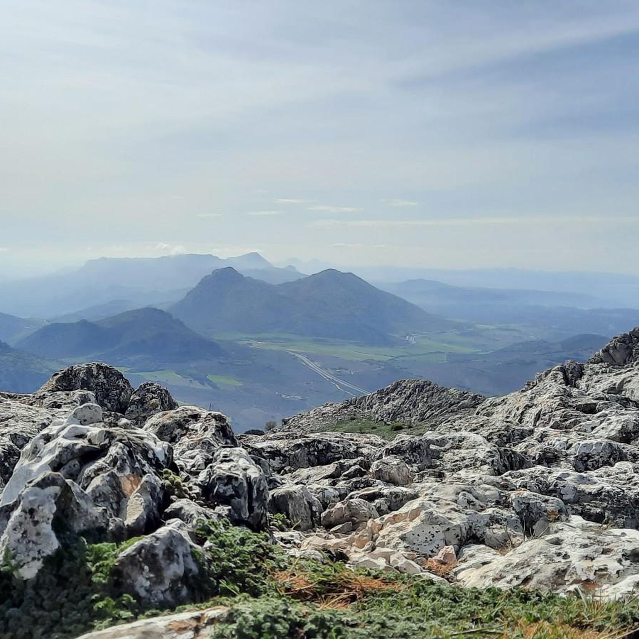
Hiking in Sierra De Camarolos
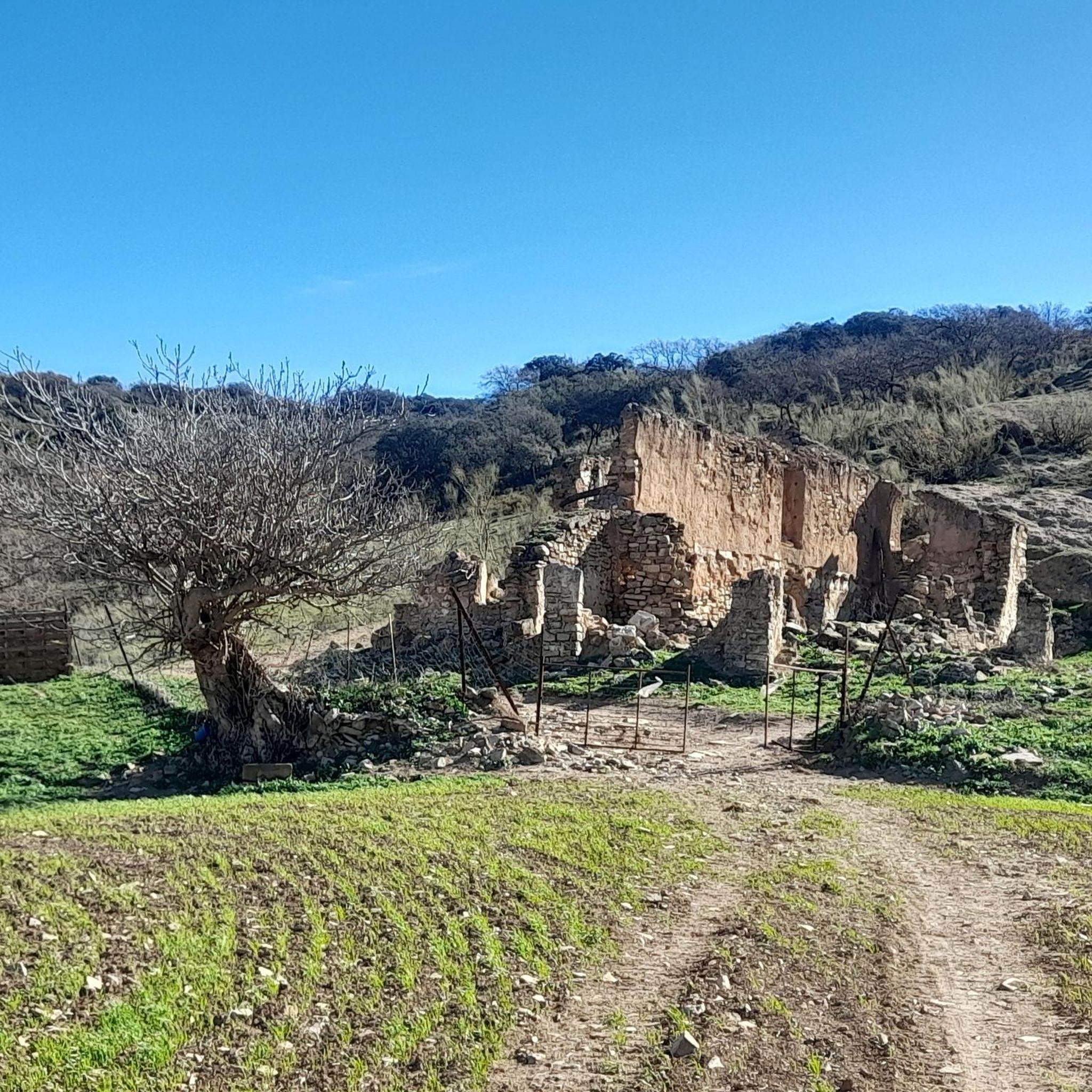
Road Cycling Routes in Sierra De Camarolos
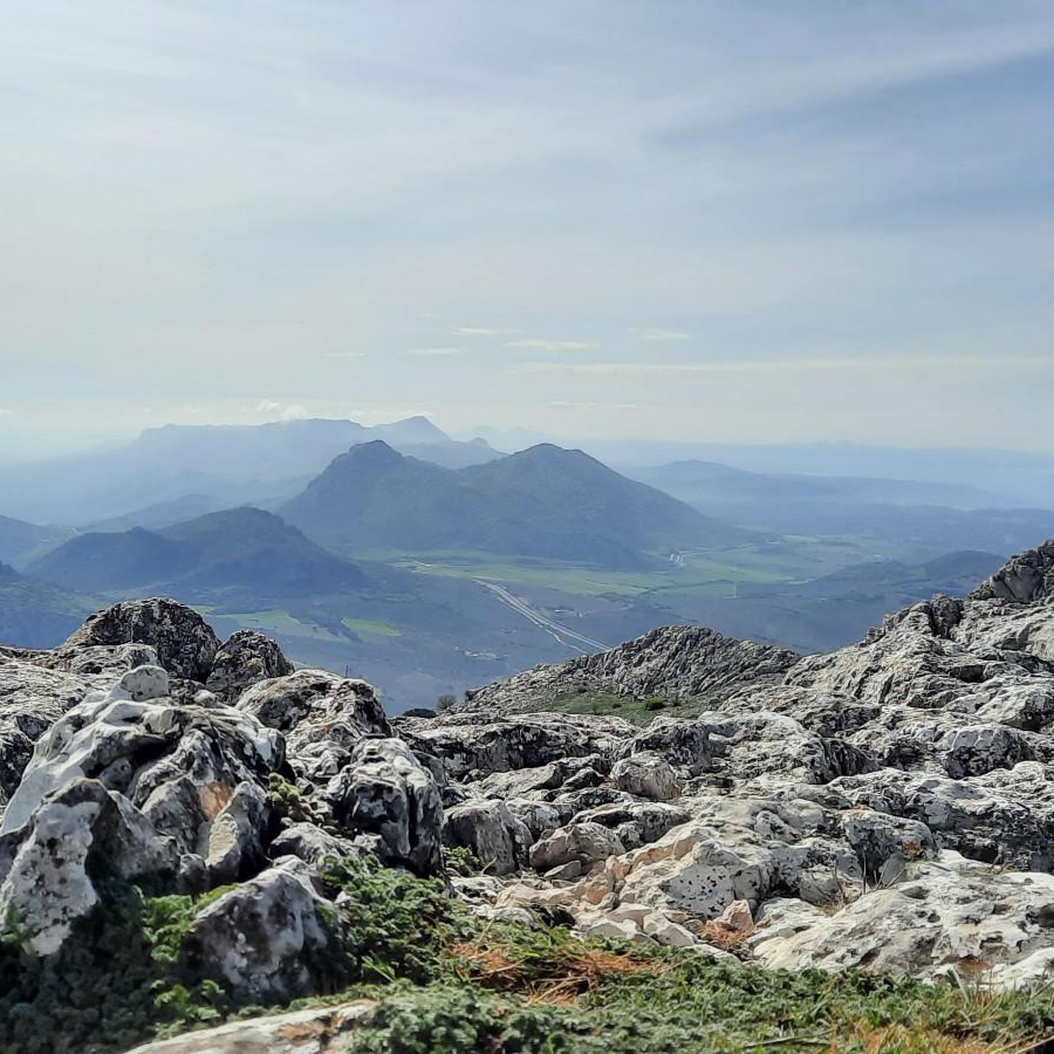
Running Trails in Sierra De Camarolos
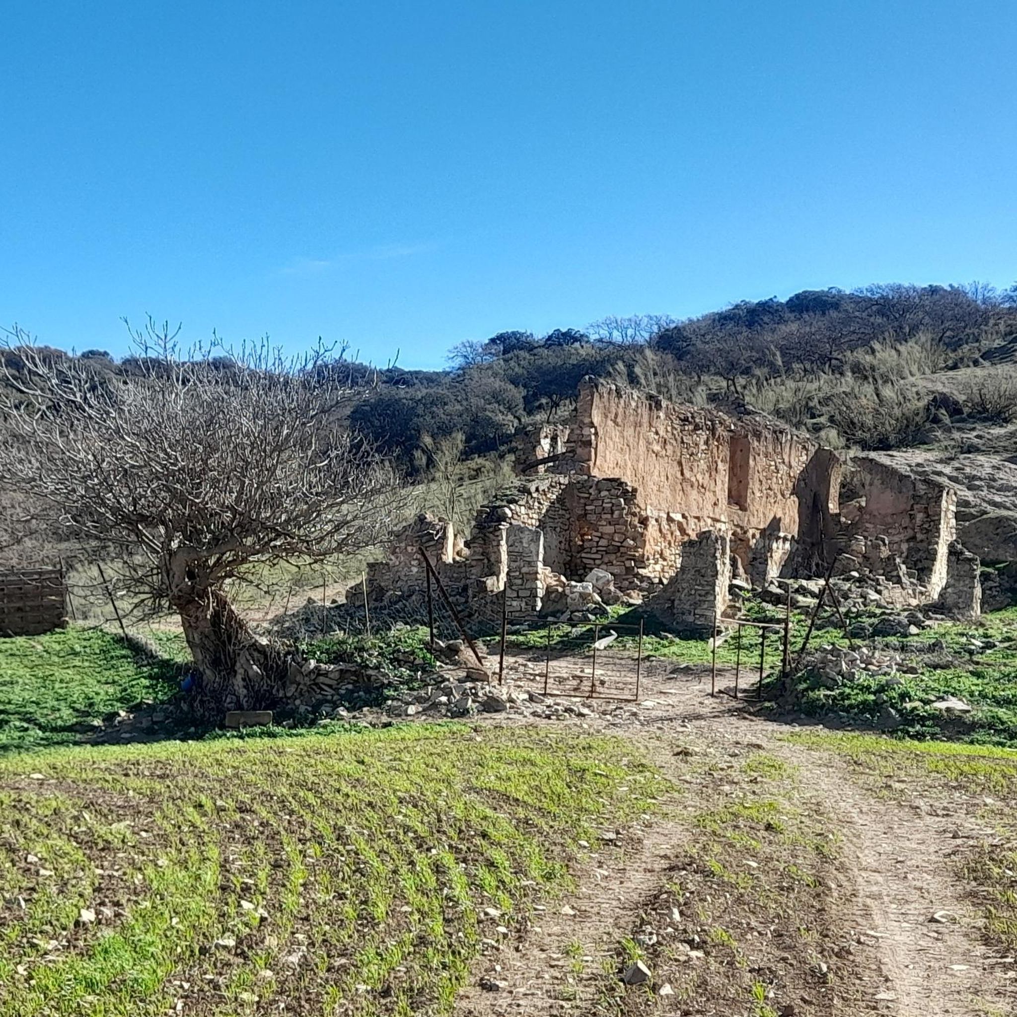
MTB Trails in Sierra De Camarolos

Gravel biking in Sierra De Camarolos

Tips from the Community

The Colmenar Town Hall (Ayuntamiento de Colmenar) is located in the town's historic center, on the Plaza de España, and forms the architectural and administrative heart of the municipality. Dating from the 19th century, the building has been restored several times to serve its function as a modern administrative center. It presents itself in typical Andalusian style with a light-colored plastered facade, symmetrical layout, and traditional wrought-iron balconies. A clock and the municipal coat of arms are located at the top, while the main entrance is emphasized by round arches and stone frames. Together with the church and several historic houses, the Town Hall frames Colmenar's central square, which serves as both a meeting place and venue for local festivals. Thus, the building embodies both the civic history and the architectural identity of this mountain village in the Axarquía region.
5
0
The Museo de la Miel (Honey Museum) in Colmenar is dedicated to beekeeping and honey production. It showcases honey making from antiquity to the present day, explains how beehives work, and the role of bees in nature. The museum is organized thematically, displaying the life of bees, different types of beehives, honey production, and beekeeping tools. Interactive screens supplement the exhibition with information on pollination, beekeeping practices, and products from the hive. In addition, the museum regularly hosts events such as workshops, tastings, and culinary tours that highlight regional products like honey and cheese. Visitors can purchase various types of honey, beeswax candles, and other handcrafted items in the museum shop. Thus, the Museo de la Miel offers a comprehensive insight into the world of bees and the tradition of honey production.
5
0
The Plaza de España in Colmenar is the vibrant heart of the village, reflecting the typical character of an Andalusian town center. Surrounded by white houses with wrought-iron balconies, small cafes, and orange trees, it forms the social and cultural hub of the community. At its center stands an elegant, multi-tiered stone fountain, a defining feature of the square. The water flows in gentle arcs from one basin to the next, creating a tranquil and inviting atmosphere. Particularly striking are the bees that gather around the upper part of the fountain with its intricately carved jugs—a natural phenomenon closely linked to Colmenar's history and identity. The town's name derives from the Spanish word "colmena," meaning "beehive," and the fountain seems to embody this symbolism in a truly remarkable way. Today, the Plaza de España serves as a meeting place for locals and visitors alike, a venue for celebrations, conversations, and the everyday life of the village. With its harmonious interplay of stone, water, and nature, it conveys an authentic image of the tranquil, welcoming atmosphere that characterizes Colmenar. The square thus represents not only the geographical center of the town but also the heart of its community.
0
0
The Iglesia de Nuestra Señora del Socorro in Casabermeja dates back to the 16th century and was expanded in the Baroque style in the 18th century. The church has a Latin cross plan with three naves, a dome over the transept, and a striking, tall bell tower that dominates the townscape. Inside, it houses several chapels, including one dedicated to the Sacred Heart of Jesus, richly decorated in the Baroque style. The rooms are decorated with Marian symbolism and sacramental depictions, often through elaborate plaster statues, making the church a central cultural and religious landmark of Casabermeja.
0
0
The Fuente Los Praillos near Casabermeja depicts a shepherd with his flock of sheep on ceramic tiles – a symbol of the region's traditional livestock farming. The scene evokes the simple rural life that has shaped everyday life here for centuries. The fountain invites you to take a short break.
1
0
Casabermeja is a typical Andalusian mountain village, located at the entrance to the Montes de Málaga Natural Park, and offers an impressive combination of history, traditional architecture, and scenic beauty. The whitewashed houses cling to the hillside in terraces, and from the higher points, there are sweeping views across the surrounding valleys and olive groves. Casabermeja is particularly famous for its San Sebastián Cemetery, which, due to its unusual design and architecture, has been declared a site of national cultural interest. The small, whitewashed burial chapels resemble miniature houses and lend the place a unique character. At the heart of the village stands the parish church of Nuestra Señora del Socorro, a fine example of 16th-century Andalusian religious architecture with a striking red brick tower. Casabermeja and its surroundings are ideal for exploring by bicycle. The gently rolling landscape offers a variety of routes – from leisurely rides through the fields to more challenging tours in the Montes de Málaga mountains. Along the way, you'll discover traditional farmhouses, scenic viewpoints, and quiet country lanes that reflect the authentic character of rural Andalusia. Casabermeja is therefore an ideal starting point for excursions and for enjoying regional cuisine, especially the typical goat dishes and olive oils of the area.
3
0

Sounds like a very interesting and worthwhile initiative! Thanks for the information! https://circoescuelafantasia.es
0
0

This very small village is situated on a fertile piece of land on top of a mountain ridge as you drive further into the mountains from Velez Malaga towards Alhama de Granada. The Neanderthals were already settled here, as evidenced by human remains found in the natural caves nearby. This region was and still is very fertile and therefore very worthwhile to settle. The Phoenicians, Romans and later from the 8th century the Moors also knew this. If you visit there you will not see much, much is "new". This is because in 1884 this was the epicentre of an earthquake and considerable damage was caused. The area is beautiful, mountainous, green and with a lot of agriculture. It is certainly worth taking the road from here to the nearby Alhama de Granada, which is certainly worth it. The village itself is small and quiet, with a traditional Andalusian appearance. The white houses, narrow streets and friendly community make it an ideal place to relax and enjoy the natural beauty of the area.
7
0
Frequently Asked Questions
How many touring cycling routes are available in Sierra De Camarolos?
Sierra De Camarolos offers a wide selection of touring cycling routes, with over 130 options available. These routes traverse diverse landscapes, from dramatic limestone mountains to pine forests, catering to various preferences.
What are the difficulty levels of touring cycling routes in Sierra De Camarolos?
The routes in Sierra De Camarolos cater to a range of abilities. While the majority, around 89 routes, are classified as difficult, there are also 37 moderate routes and 4 easy routes available. This variety ensures options for both experienced cyclists seeking a challenge and those looking for a more relaxed ride.
Are there any family-friendly touring cycling routes in Sierra De Camarolos?
While many routes in Sierra De Camarolos feature significant elevation changes, there are a few easier options that might be suitable for families or beginners. These routes typically offer less challenging terrain, allowing for a more relaxed experience. For a general idea, look for routes marked as 'easy' in the route descriptions.
Are there any circular touring cycling routes in Sierra De Camarolos?
Yes, many touring cycling routes in Sierra De Camarolos are designed as loops, allowing you to start and finish at the same point. Examples include the challenging Puerto de Sábar – Puerto del Sol (1085 m) loop from Alfarnatejo, which covers 55.3 km, or the Los Praillos Fountain – Casabermeja loop from Cementerio de Villanueva de Cauche, a 31.7 km route through varied landscapes.
What unique geological features can I expect to see along the touring cycling routes?
Sierra De Camarolos is renowned for its dramatic karst scenery and limestone mountains. As you cycle, you'll encounter impressive formations like large karstic crestons, eroded rocks, and even sinkholes. The highest peaks, such as Chamizo (1641 meters), offer expansive views over these unique geological landscapes.
What kind of wildlife might I encounter while cycling in Sierra De Camarolos?
The diverse ecosystems of Sierra De Camarolos support a variety of wildlife. Cyclists may spot animals such as Iberian ibex, foxes, and wild boars. The region is also home to numerous birds of prey, including golden eagles, Bonelli's eagles, peregrine falcons, and griffon vultures, making for interesting observations during your ride.
What are some scenic viewpoints or attractions along the touring cycling routes?
Several routes offer access to stunning viewpoints and natural attractions. You can visit the Hundred‑Spout Fountain, a significant natural monument, or enjoy panoramic vistas from the Alto del Hondonero Viewpoint. Some routes also pass by historical sites like the Pilas de La Alhajuela Roman Water Troughs and Ruins.
Are there any particularly challenging touring cycling routes for experienced riders?
Yes, Sierra De Camarolos is well-suited for experienced cyclists seeking a challenge. Routes like the Puerto del Sol (1085 m) – Top of the Climb loop from Alfarnatejo, spanning 95.9 km with nearly 2000 meters of elevation gain, provide significant ascents and rewarding descents. Another demanding option is the Upper Guadalhorce River Valley – Viewpoint, Guadalhorce River loop from Peñón de los Becerros, a 64.4 km route with over 1300 meters of climbing.
What do other touring cyclists enjoy most about cycling in Sierra De Camarolos?
The touring cycling routes in Sierra De Camarolos are highly rated by the komoot community, with an average score of 4.7 stars from over 50 reviews. Cyclists often praise the region's varied terrain, from dramatic limestone mountains to managed pine forests, and the challenging ascents that lead to expansive panoramic views.
What is the best time of year to go touring cycling in Sierra De Camarolos?
The region's climate makes it suitable for cycling for much of the year. Spring and autumn generally offer the most pleasant temperatures for touring cycling, avoiding the intense heat of summer and the cooler, potentially wetter conditions of winter. These seasons also showcase the diverse vegetation at its best.
Are there places to eat or get refreshments near the cycling routes?
Yes, the region has villages and towns that offer amenities. For example, the Venta de Alfarnate & Museum is a notable spot that can be found along some routes, providing a place to stop for food and a glimpse into local history. Smaller villages throughout the Sierra will also have local cafes and restaurants.
Most popular routes in Sierra De Camarolos
Most popular attractions in Sierra De Camarolos

Get inspired with the komoot mobile app


Explore more
Browse the best Cycling routes in other regions.
