The best road cycling routes in Sierra De Camarolos
4.7
(58)
4,329
riders
109
rides
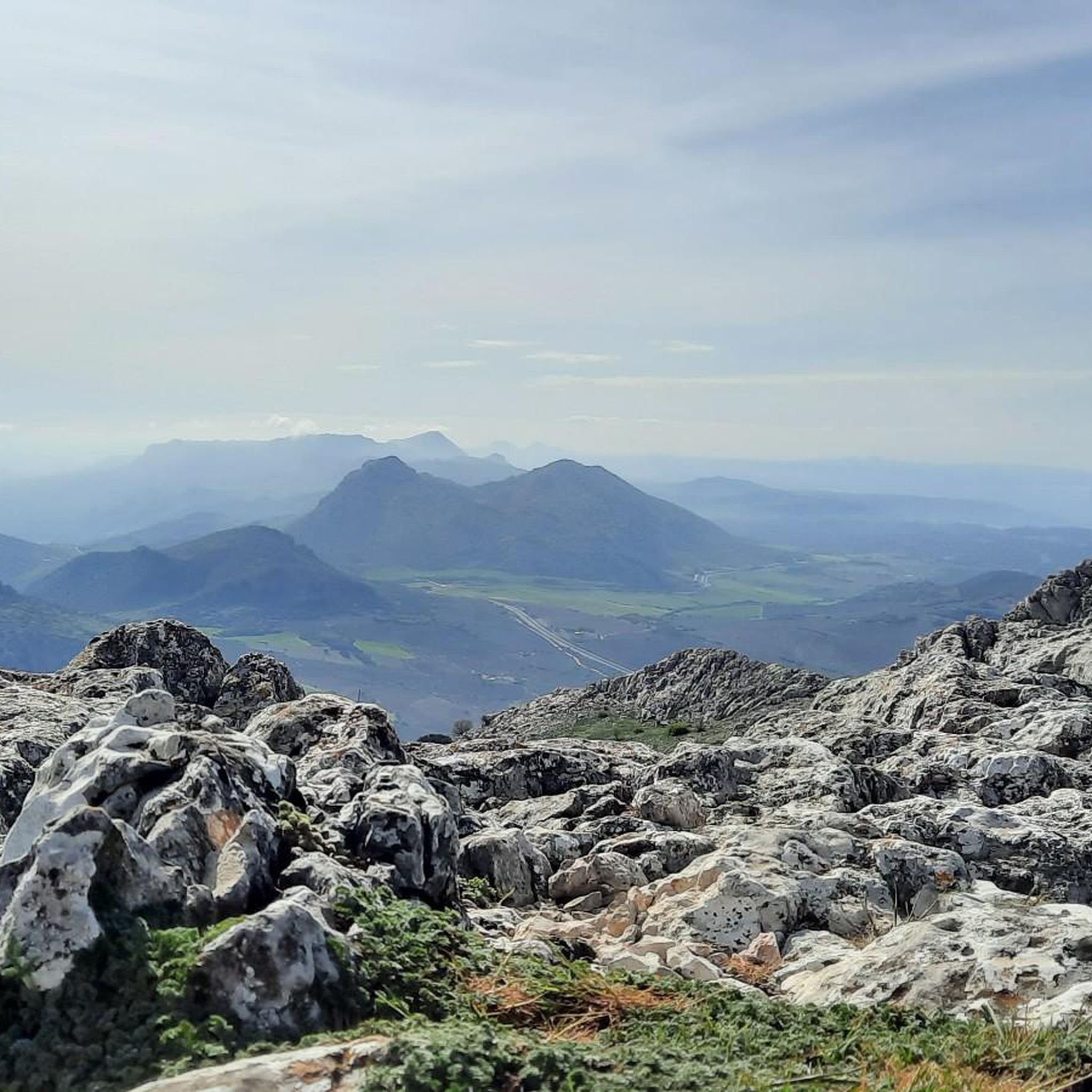
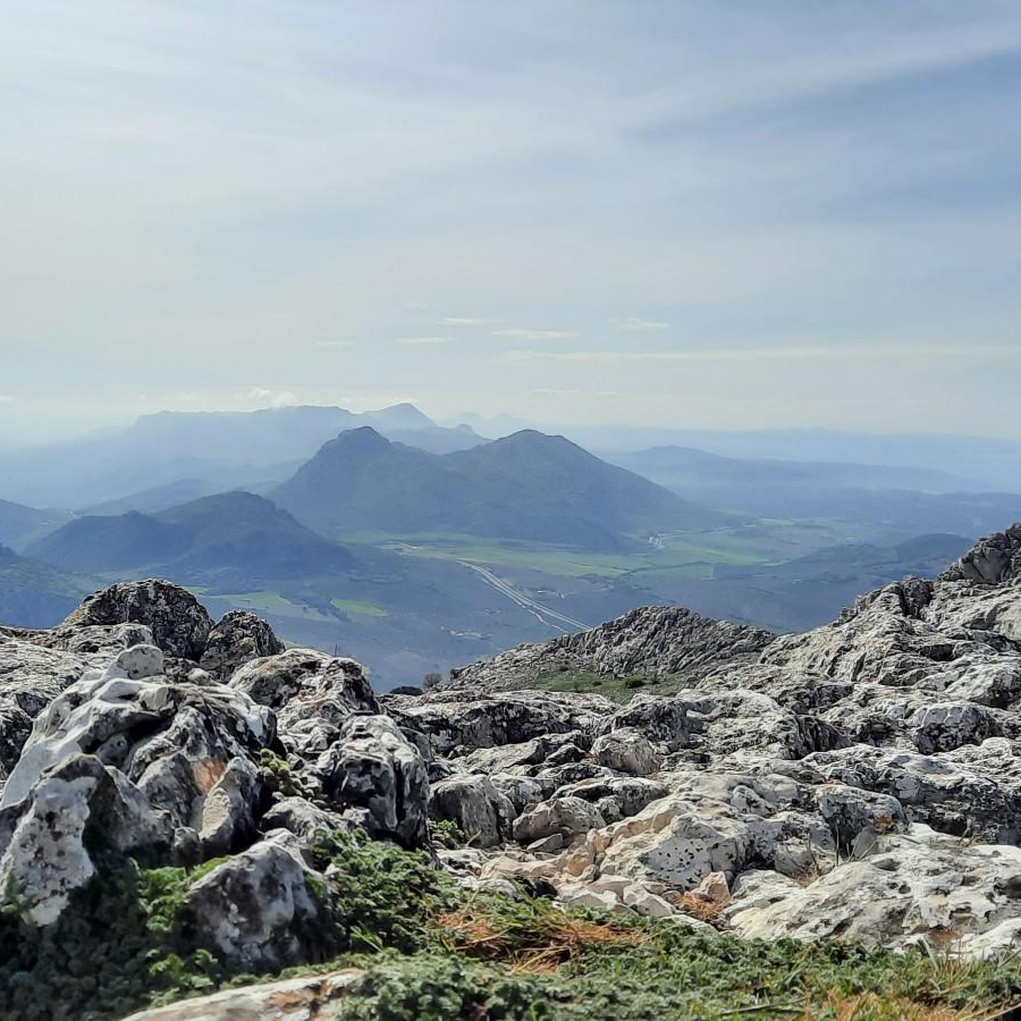
Road cycling in Sierra De Camarolos offers diverse landscapes characterized by dramatic limestone mountains and karstic formations. The region features a large karstic crest with challenging, irregular terrain, including escarpments and dolines. Pine forests and meadows provide varied backdrops for routes, which often include significant elevation changes. These geological features create demanding climbs and exhilarating descents for road cyclists.
Best road cycling routes in Sierra De Camarolos
- The most popular road cycling route is Drinking Water Fountain – Mirador de…
Last updated: October 21, 2026
64
riders
84.8km
04:46
1,860m
1,860m
Hard road ride. Very good fitness required. Mostly well-paved surfaces and easy to ride.
4.3
(3)
43
riders
36.4km
01:57
710m
710m
Moderate road ride. Good fitness required. Mostly well-paved surfaces and easy to ride.

5.0
(1)
25
riders
62.2km
02:59
880m
880m
Moderate road ride. Good fitness required. Mostly well-paved surfaces and easy to ride.
13
riders
68.0km
03:11
840m
840m
Moderate road ride. Good fitness required. Mostly well-paved surfaces and easy to ride.
12
riders
Hard road ride. Very good fitness required. Some segments of this route may be unpaved and difficult to ride.
Get access to more routes and recommendations from other explorers.
Already have an account?
Our route recommendations are based on thousands of hikes, rides, and runs completed by other people on komoot.
Start today with a free account
Your next adventure awaits.
Popular around Sierra De Camarolos

Andalusia without limits – Tarifa to La Puebla de Don Fabrique on the GR 7

Hike between sea and mountains — Gran Senda de Málaga (GR 249)
Hiking in Sierra De Camarolos
Running Trails in Sierra De Camarolos
MTB Trails in Sierra De Camarolos
Cycling in Sierra De Camarolos

Gravel biking in Sierra De Camarolos

Tips from the Community

Very good water... You have to drive a few meters uphill from the main road.
0
0

Comares is a picturesque, traditional Andalusian village in the province of Málaga, Spain, known as the "Balcony of the Axarquía" for the breathtaking views from its hilltop location, some 700 meters above sea level. The village is characterized by its Moorish past, evident in the narrow, winding streets and the remains of the Arab fortress on Musmullar Hill. Places of interest include the Church of Our Lady of the Incarnation and the opportunity to enjoy the panoramic views, stroll, and discover local crafts, such as traditional clothing.
9
0

A point, a crossroads, with good views.
0
0
A crossroads with good views, a landmark
0
0

It's worth it... best from east to west!
0
0

The Zafarraya polje is a closed depression with a flat bottom, surrounded by limestone mountains that are strongly karstified. The waters of the polje are absorbed by several ponors (sinkholes), and during heavy rainfall the polje can be temporarily flooded. This makes it an interesting example of karst landscape and geological processes.
8
3

A tour to Comares, one of the most beautiful white villages in Andalusia, is a challenging but worthwhile undertaking. Comares is located on a mountain peak in the Axarquía region, about 700 meters above sea level and offers spectacular views of the surrounding area. This tour is ideal for ambitious cyclists who want to enjoy steep climbs and a mix of nature and culture. A road bike or a mountain bike with good gears for the steep climbs is recommended. The route is suitable for experienced cyclists.
1
0

through kilometres of olive orchards and beautiful views steadily climbing towards Malaga
0
0
Frequently Asked Questions
How many road cycling routes are available in Sierra De Camarolos?
There are over 90 road cycling routes available in Sierra De Camarolos. These routes cater to various skill levels, with 5 easy, 39 moderate, and 46 difficult options.
What kind of terrain can I expect when road cycling in Sierra De Camarolos?
You can expect diverse and challenging terrain. The region is characterized by dramatic limestone mountains and extensive karst formations, featuring irregular landscapes with cliffs and dolines. Routes often include significant elevation changes, offering demanding climbs and exhilarating descents through pine forests and meadows.
Are there any easy road cycling routes for beginners in Sierra De Camarolos?
While many routes are moderate to difficult, there are 5 easy road cycling routes available in Sierra De Camarolos. These routes are suitable for those new to road cycling or looking for a less strenuous ride.
What are some challenging road cycling routes in Sierra De Camarolos?
For experienced cyclists seeking a challenge, routes like the Upper Guadalhorce River Valley – Plaza Ochavada of Archidona loop from Alfarnatejo offer difficult climbs and panoramic vistas over 67.6 km. Another demanding option is the Viewpoint Axarquia – Comares Village loop from Villanueva de Cauche, which spans 107.1 km with significant elevation gain.
Are there any circular road cycling routes in the area?
Yes, many of the road cycling routes in Sierra De Camarolos are circular. For example, the popular Drinking Water Fountain – Mirador de Sylvania loop from Alfarnatejo is a moderate 62.6 km loop, and the Colmenar – Colmenar loop from Alfarnatejo is a difficult 86.1 km option.
What can I see along the road cycling routes in Sierra De Camarolos?
Along the routes, you can discover various natural and historical points of interest. Notable attractions include the Hundred‑Spout Fountain, the historic Venta de Alfarnate & Museum, and the ancient Pilas de La Alhajuela Roman Water Troughs and Ruins. The region's karst landscapes also offer impressive geological formations.
Where can I find scenic viewpoints while cycling?
The Sierra de Camarolos is known for its expansive views. The highest peak, Chamizo (1641 meters), offers breathtaking panoramic vistas stretching from the Sierra de las Nieves to Tejeda, and even the Mediterranean Sea. Specific routes like the View of the Casasola Reservoir – Almogía Cycling Viewpoint loop from Villanueva de Cauche are designed to showcase these scenic spots, including the Alto del Hondonero Viewpoint.
What is the best time of year for road cycling in Sierra De Camarolos?
The region's climate makes it suitable for road cycling for much of the year. Spring and autumn generally offer the most pleasant temperatures for tackling the significant elevation changes. Summers can be hot, especially at lower altitudes, while winters are milder but can bring cooler temperatures to the higher mountain passes.
Is there parking available near the road cycling routes?
Yes, towns like Alfarnatejo and Villanueva de Cauche, which serve as starting points for many routes, typically offer parking facilities. It's advisable to check specific town information for designated parking areas before your ride.
What do other cyclists enjoy most about road cycling in Sierra De Camarolos?
The area is highly rated by the komoot community, with an average score of 4.7 stars from over 50 reviews. Cyclists often praise the challenging, irregular terrain, the dramatic limestone mountains, and the varied backdrops of pine forests and meadows that make for a rewarding and scenic experience.
Are there other outdoor activities available in Sierra De Camarolos besides road cycling?
Absolutely. Beyond road cycling, the Sierra de Camarolos is excellent for hiking and running, with trails ranging from easy to hard. The region is also known for caving, with several caves like Cueva de Chirivias and Cueva de las Hechiceras. Additionally, a multi-activity park for 'tree climbing' is located near Villanueva del Trabuco.
Most popular routes in Sierra De Camarolos
Most popular attractions in Sierra De Camarolos

Get inspired with the komoot mobile app


Explore more
Browse the best Road cycling routes in other regions.
