The best mountain hikes in Parc National De Garajonay
4.8
(27)
133
hikers
25
hikes
Mountaineering in Parc National De Garajonay offers routes through ancient laurel forests, volcanic landscapes, and deep ravines. The park, a UNESCO World Heritage site, is characterized by its unique cloud forest ecosystem and varied elevations. These routes provide opportunities to explore the island's distinct geological features and lush, subtropical vegetation.
Best mountaineering routes in Parc National De Garajonay
- The most popular mountaineering route is Roque Argando loop from La Gomera, a 5.5 miles (8.8 km) trail that takes 3 hours 50 minutes to complete. This route features steady climbs and panoramic views of the surrounding volcanic terrain.
- Another top favourite among local mountaineers is Laguna Grande Recreation Area – Alto de Garajonay loop from Garajonay National Park, a moderate 6.3 miles (10.1 km) path. This path winds through dense laurel forests and offers views towards the Alto de Garajonay.
- Local mountaineers also love the Santa Clara Hermitage – Enchanted Forest Trail loop from El Bailadero, an 8.5 miles (13.6 km) trail leading through ancient cloud forests, often completed in about 4 hours 9 minutes.
- Mountaineering in Parc National De Garajonay is defined by ancient laurel forests, volcanic landscapes, and deep ravines. The network offers options for easy, moderate, and difficult routes, catering to various ability levels.
- The routes in Parc National De Garajonay are highly rated by the komoot community with an average score of 4.7 stars from over 40 reviews. More than 200 mountaineers have used komoot to explore Parc National De Garajonay's varied terrain.
Last updated: July 1, 2026
4.7
(3)
7
hikers
Moderate mountaineering route. Good fitness required. Easily-accessible paths. Suitable for all skill levels.
6
hikers
14.5km
04:23
440m
450m
Hard mountaineering route. Good fitness required. Sure-footedness, sturdy shoes and alpine experience required.

Sign up for free
4.5
(2)
5
hikers
Easy mountaineering route. Great for any fitness level. Easily-accessible paths. Suitable for all skill levels.
3
hikers
12.2km
05:00
770m
760m
Hard mountaineering route. Very good fitness required. Mostly accessible paths. Sure-footedness required.
5.0
(2)
9
hikers
9.26km
03:46
630m
630m
Moderate mountaineering route. Good fitness required. Mostly accessible paths. Sure-footedness required.
Get access to more routes and recommendations from other explorers.
Sign up for free
Already have an account?
Our route recommendations are based on thousands of hikes, rides, and runs completed by other people on komoot.
Start today with a free account
Your next adventure awaits.
Login or Signup
Popular around Parc National De Garajonay

La Palma, El Hierro y La Gomera – explore the Canaries’ Green Islands on foot
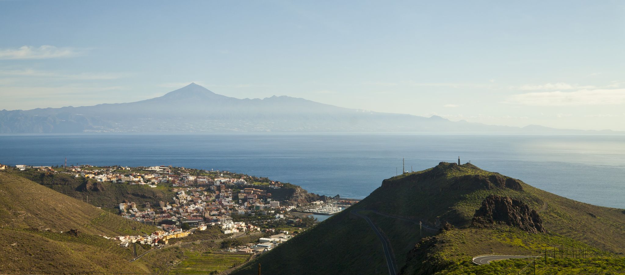
My favourite hikes on Tenerife and La Gomera
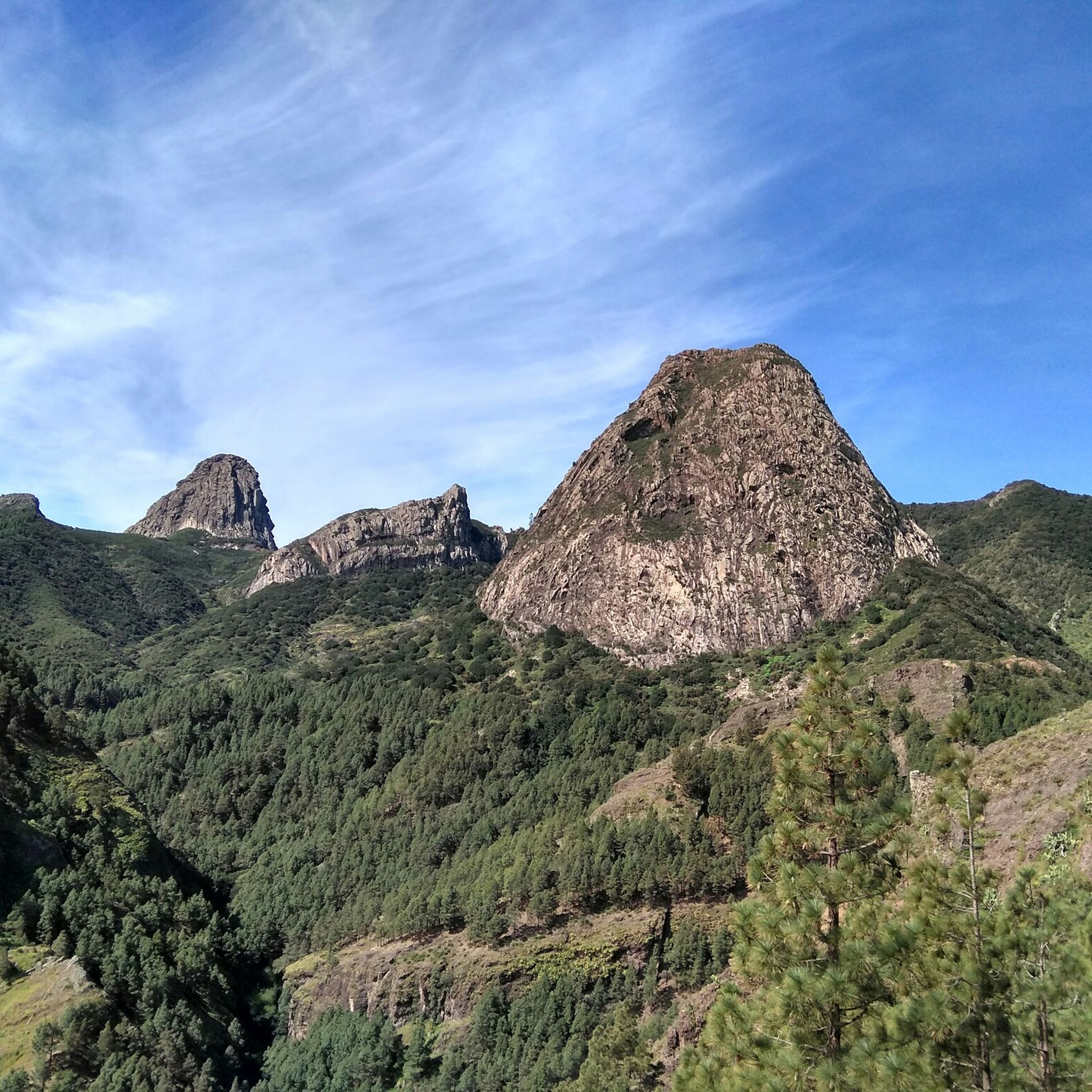
Hiking in Parc National De Garajonay
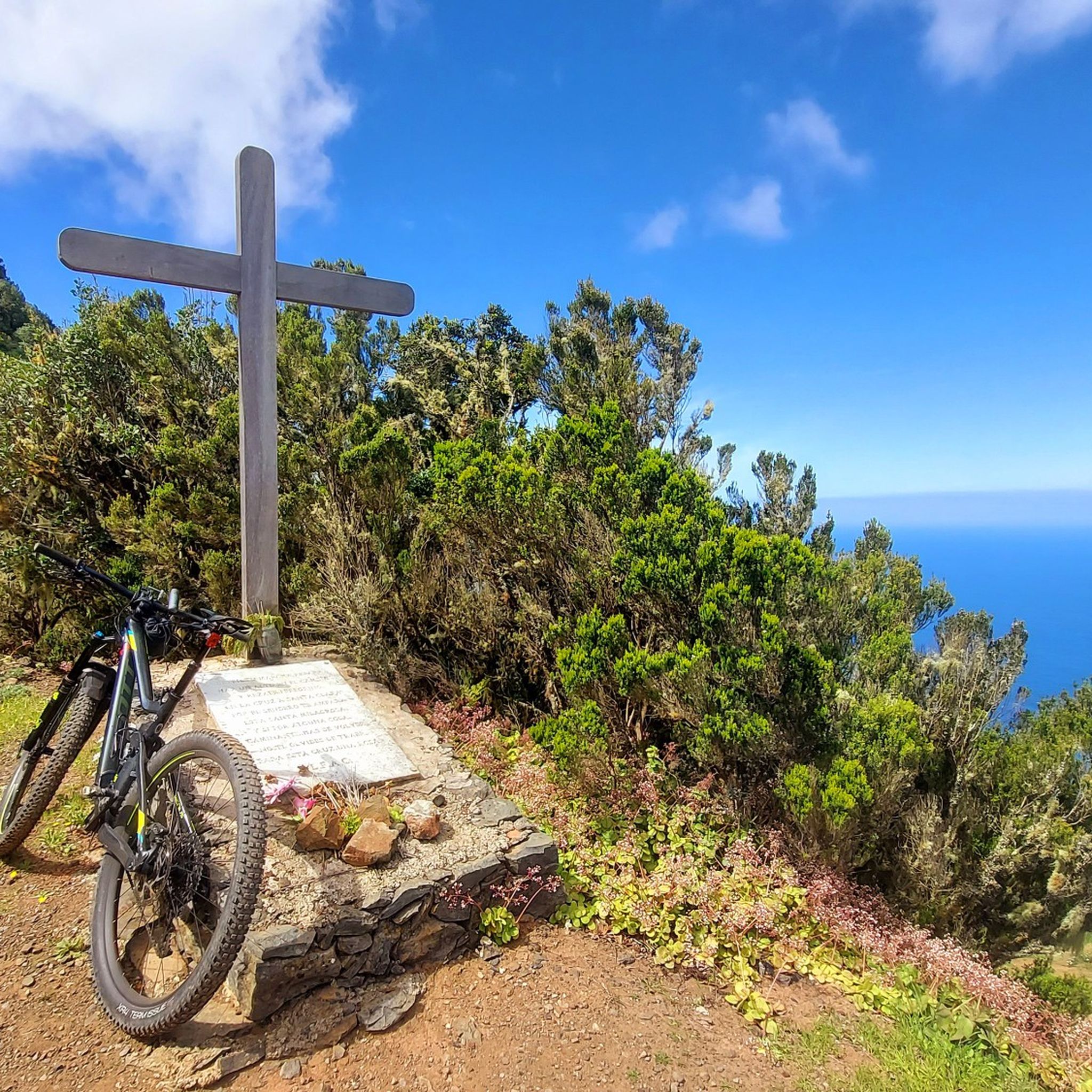
MTB Trails in Parc National De Garajonay
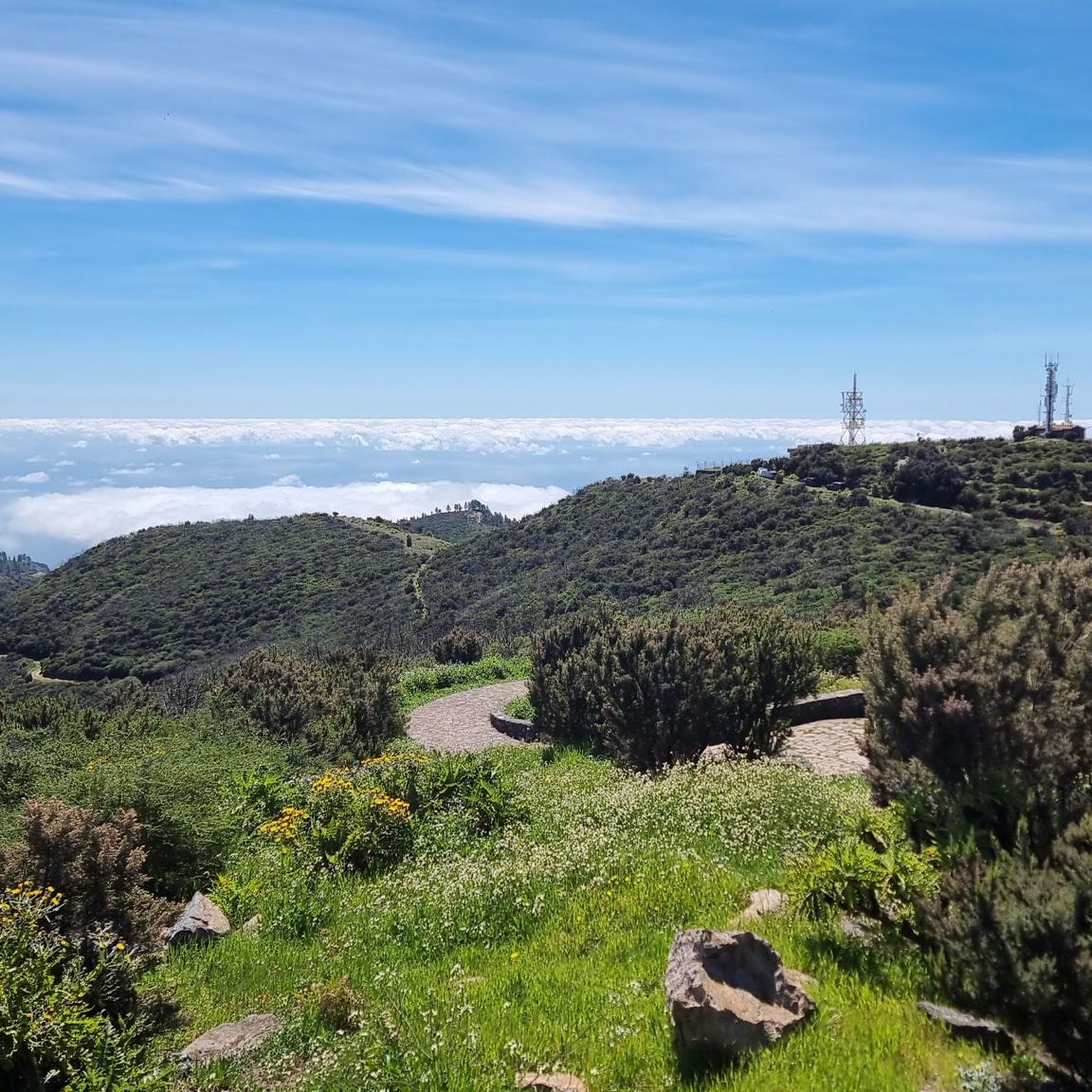
Road Cycling Routes in Parc National De Garajonay
Cycling in Parc National De Garajonay
Running Trails in Parc National De Garajonay
Other adventures in Parc National De Garajonay


Tips from the Community

Small rural hermitage located in one of the high and quiet areas of La Gomera, surrounded by mountains, terraces, and narrow roads frequented by cyclists. Although simple, it has something very authentic: it seems more like a resting point lost on the island than a tourist spot. San Isidro is the patron saint of farmers, and that fits perfectly with the environment: damp earth, cultivated terraces, and a life tied to the Gomera countryside for generations. The curious thing about these hermitages in La Gomera is that many function almost as route references. For years they were meeting points, rest stops, and orientation points for people crossing the island on foot or with animals long before modern roads existed. Cycling through here has that air of the "old Gomera" that still survives in the highlands.
0
0
El Roque de Agando is probably the most iconic and photographed rock formation on La Gomera. It is a huge volcanic plug formed by very resistant rock that was exposed after millions of years of erosion. While the rest of the volcanic terrain gradually disappeared, this gigantic needle remained standing, dominating the entire landscape in the center of the island. It rises to an altitude of about 1,250 meters and is part of a group of volcanic rocks visible from much of Garajonay. Its vertical and isolated silhouette, especially when it appears shrouded in mist or illuminated by the low sun, gives it an almost unreal appearance. The road that passes by the roque is considered one of the most spectacular on La Gomera and is a classic spot to stop and contemplate the landscape. For the ancient inhabitants of La Gomera, it also had symbolic and territorial importance, and even today it remains one of the island's great natural emblems. The contrast between the dark rock, the green ravines, and the low clouds creates one of the most recognizable images of the Canary Islands.
2
0
Laguna Grande is probably one of the best starting points on all of La Gomera to explore the upper part of the island by bike. Many people arrive here by van or car precisely to start their routes from this point and avoid some of the toughest climbs from the coast. From the recreational area, you can easily link up with routes towards San Sebastián, Valle Gran Rey, Alajeró, or the entire central ridge across the humid forest. The advantage is enormous: you start already at over 1,200 meters altitude, within the laurisilva, surrounded by practically traffic-free tracks and roads. This allows you to enjoy the long, scenic descents and high mountain routes much more without draining all the battery or your legs on endless ascents from sea level. Of course, the climate here changes radically compared to the coast. Fog is very common almost all year round and humidity is constantly present, even when it's sunny down below. It is essential to bring a good rain jacket, a serious windbreaker, and some light thermal clothing, because the feeling of cold increases considerably when you enter the more humid areas of the forest. It is also advisable to bring lights or reflective elements if you are going to ride for many hours in fog and shade. For e-bike tours, Laguna Grande is simply a spectacular base.
0
0
The Laguna Grande Recreational Area is one of the most important and visited points in the interior of La Gomera. It is located in the high zone of the island, within the Garajonay National Park, at an altitude of over 1,200 meters and surrounded by the famous laurisilva forest, considered a UNESCO World Heritage site. More than just a picnic area, Laguna Grande functions as a meeting point for hikers, cyclists, and visitors exploring the island's humid heart. Several well-known routes begin here, and it is also one of the best places to stop to rest, eat, or simply contemplate the forest amidst the fog. The climatic difference compared to the coast is enormous: while it can be hot and sunny below, here it is common to find humidity, cold, fine rain, and fog even in summer. The place also has a significant symbolic and popular charge in La Gomera. There are ancient legends related to witches and nocturnal gatherings in the central clearing of the forest, stories that are still part of the local imagination and fit perfectly with the mysterious atmosphere of the place when the fog rolls in among the trees. Today, it is one of the great nerve centers of Garajonay and a practically essential stop to understand the landscape, climate, and the more humid and green personality of La Gomera.
0
0
In the heart of the Garajonay National Park, this recreational area is one of the most magical corners of La Gomera. Surrounded by laurel forest, mist, and moss-covered trees, it feels like a scene frozen in time. Ideal for taking a break on the route, having a snack, or simply listening to the silence of the forest as the light shifts through the mist. A classic for cyclists and hikers seeking the island's most humid, green, and mysterious side.
1
0

anyone looking for quite comfortable and joint-friendly paths - amidst all the steep trails of La Gomera - will find them here - and "incidentally" there is also the island's "roof"... an area for relaxation...
0
0

Frequently Asked Questions
What types of mountaineering routes can I find in Parc National De Garajonay?
Parc National De Garajonay offers a diverse range of mountaineering routes, from easy strolls through ancient forests to more challenging ascents with significant elevation gain. The park features 32 distinct routes, with options for various skill levels, including 1 easy, 19 moderate, and 12 difficult trails.
Are there any easy mountaineering routes suitable for beginners or families in Parc National De Garajonay?
Yes, there is at least one easy mountaineering route perfect for beginners or families. Consider the Garajonay National Park – Laguna Grande Recreation Area loop from Garajonay National Park. This route is approximately 4.3 km long and involves minimal elevation change, making it a pleasant and accessible option.
What are some challenging mountaineering routes for experienced hikers in Parc National De Garajonay?
For experienced mountaineers seeking a challenge, Parc National De Garajonay offers several difficult routes. One notable option is the Santa Clara Hermitage – Enchanted Forest Trail loop from El Bailadero, which spans 13.6 km and features substantial elevation changes through ancient cloud forests.
Are there circular mountaineering routes available in Parc National De Garajonay?
Many of the mountaineering routes in Parc National De Garajonay are designed as loops, allowing you to start and end at the same point. Examples include the Roque Argando loop from La Gomera and the Laguna Grande Recreation Area – Alto de Garajonay loop from Garajonay National Park, providing convenient options for exploration.
What kind of natural landmarks or attractions can I see along the mountaineering routes?
Mountaineering routes in Parc National De Garajonay often lead to or pass by significant natural landmarks. You can encounter the iconic Alto de Garajonay, the highest point on La Gomera, or the striking Roque de Agando. Many trails also wind through the mystical Raso de la Bruma (Misty Forest) and the ancient Laurisilva (laurel) Forest.
What do other mountaineers enjoy most about the routes in Parc National De Garajonay?
The routes in Parc National De Garajonay are highly rated by the komoot community, with an average score of 4.7 stars from over 40 reviews. Reviewers often praise the unique cloud forest ecosystem, the varied volcanic landscapes, and the sense of immersion in ancient, subtropical vegetation. Many appreciate the well-maintained paths and the panoramic views from higher elevations.
Are there any specific routes that offer panoramic views of the island?
Yes, several routes provide stunning panoramic views. The Roque Argando loop from La Gomera is known for its steady climbs that open up to expansive vistas of the surrounding volcanic terrain. Similarly, routes leading towards the Alto de Garajonay offer commanding views across the island.
What is the best time of year for mountaineering in Parc National De Garajonay?
Parc National De Garajonay enjoys a mild climate year-round, making it suitable for mountaineering in all seasons. However, the laurel forests can be misty and damp, especially in autumn and winter. Spring and early summer generally offer pleasant temperatures and clearer skies, while still benefiting from the lush greenery. Always check local weather forecasts before heading out.
Do I need any special permits to go mountaineering in Parc National De Garajonay?
Generally, no special permits are required for day mountaineering on the marked trails within Parc National De Garajonay. However, it's always advisable to check the official website of the National Park for any updated regulations or specific requirements, especially if planning off-trail activities or overnight stays.
Are there any routes that explore the deeper ravines mentioned in the guide?
While specific routes through deep ravines are not explicitly detailed, the park's topography is characterized by these features. Many routes, such as the Montaña de Juan Romo – Roque de la Zarcita loop from La Gomera, navigate the varied terrain, offering glimpses into the dramatic geological formations and deep valleys that define the region.
What should I wear or bring for mountaineering in Parc National De Garajonay?
Given the varied terrain and microclimates, it's best to dress in layers. Sturdy hiking boots with good grip are essential, especially on potentially damp or uneven paths. Bring rain gear, as the cloud forest can experience sudden mists or light rain. Plenty of water, snacks, sun protection, and a map or GPS device are also highly recommended.
Are there facilities like cafes or restrooms near the trailheads?
While the park is a natural area, some popular trailheads and recreation areas, such as Laguna Grande, offer facilities like restrooms and picnic areas. There might also be small cafes or restaurants in nearby villages just outside the park boundaries. It's wise to carry your own provisions and check for specific facility availability at your chosen starting point.
Most popular routes in Parc National De Garajonay
Most popular attractions in Parc National De Garajonay

Get inspired with the komoot mobile app


Explore more
Browse the best Mountain Hikes & Routes in other regions.
