The best cycling routes around Parco regionale dell'Adamello
4.5
(465)
11,591
riders
218
rides
Touring cycling around Parco regionale dell'Adamello offers routes through a mountainous landscape characterized by alpine valleys, forests, and significant elevation changes. The region, part of the Southern Rhaetian Alps, features diverse terrain suitable for experienced cyclists seeking challenging ascents and descents. Roads often wind through natural park areas, providing varied scenery.
Best touring cycling routes around Parco regionale dell'Adamello
- The most popular touring cycling route is Rifugio Colombè loop from Paspardo, a 8.7 miles (14.0 km) trail that takes…
Last updated: July 6, 2026
5.0
(1)
8
riders
11.5km
01:17
560m
560m
Hard bike ride. Very good fitness required. Mostly paved surfaces. Suitable for all skill levels.
8
riders
14.1km
01:33
770m
770m
Hard bike ride. Very good fitness required. Mostly paved surfaces. Suitable for all skill levels.

Sign up for free
5.0
(1)
6
riders
25.7km
02:14
750m
750m
Hard bike ride. Very good fitness required. Mostly paved surfaces. Suitable for all skill levels.
8
riders
8.74km
00:35
120m
120m
Easy bike ride. Great for any fitness level. Mostly paved surfaces. Suitable for all skill levels.
5.0
(2)
54
riders
61.1km
05:01
1,760m
1,770m
Hard bike ride. Very good fitness required. Mostly paved surfaces. Suitable for all skill levels.
Get access to more routes and recommendations from other explorers.
Sign up for free
Already have an account?
Our route recommendations are based on thousands of hikes, rides, and runs completed by other people on komoot.
Start today with a free account
Your next adventure awaits.
Login or Signup
Popular around Parco regionale dell'Adamello

L1 from Garmisch to Brescia – Far from the classic Alpine crossings
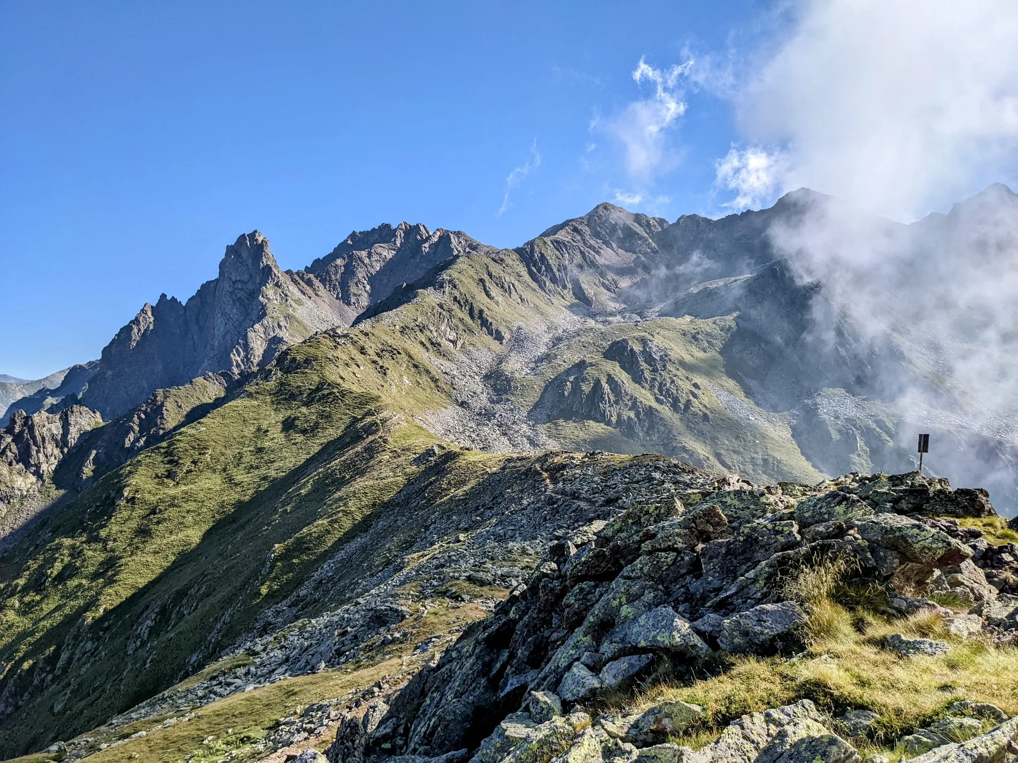
Between history and nature in Val Camonica – Adamello Ultra Trail
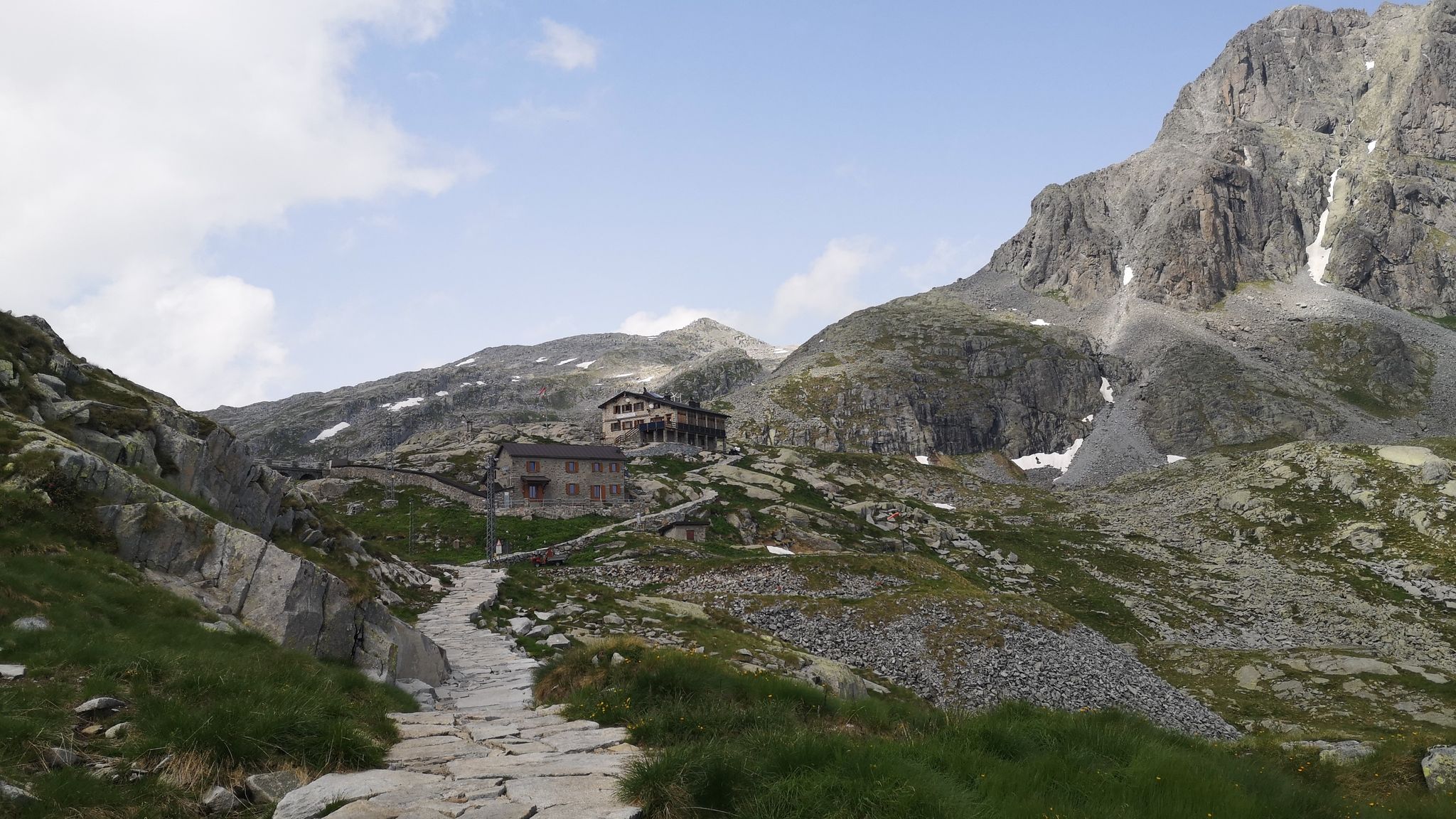
Along Path no. 1 – Alta Via dell'Adamello

Peaks, rock carvings and mountain huts – hike Italy’s Val Camonica
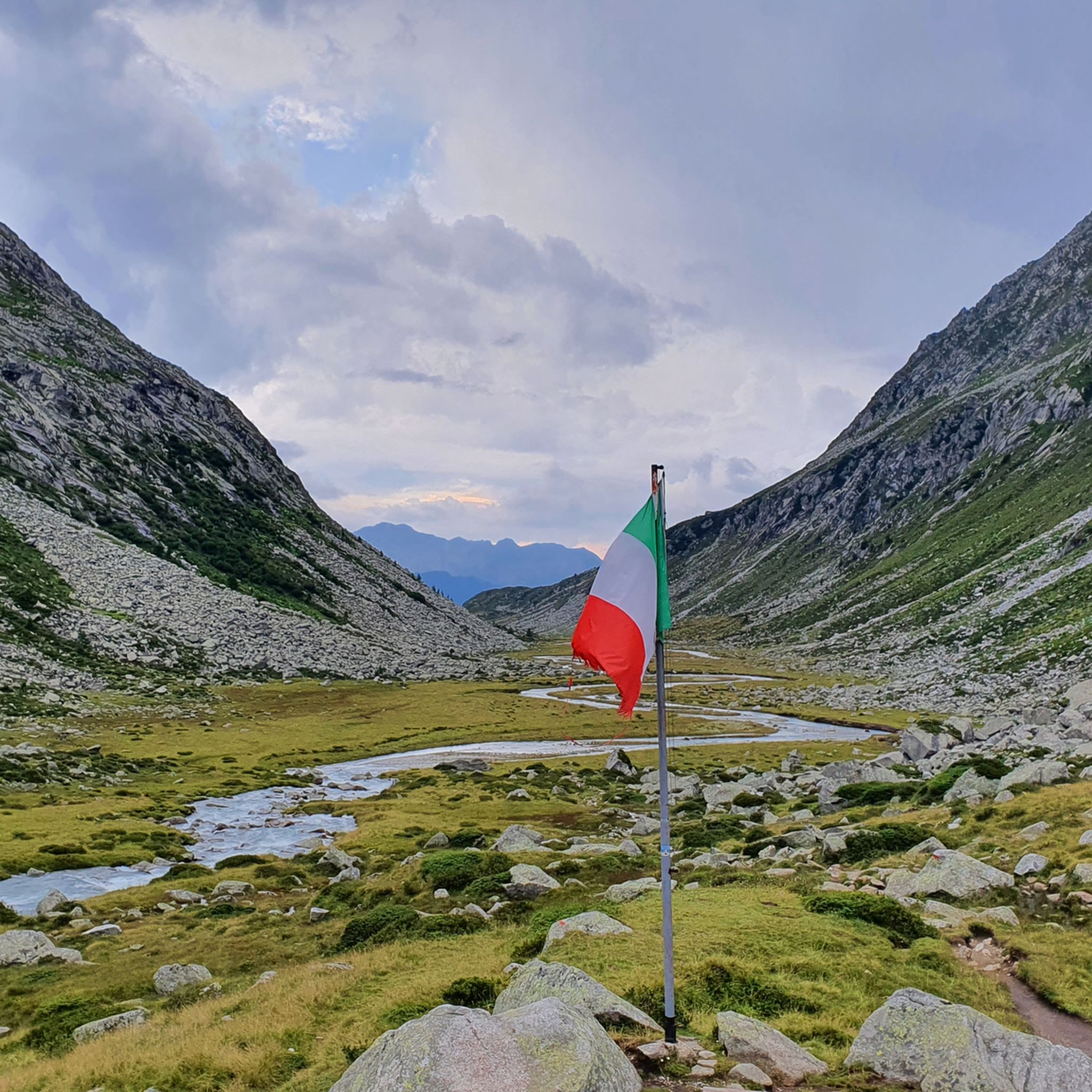
Hiking around Parco regionale dell'Adamello
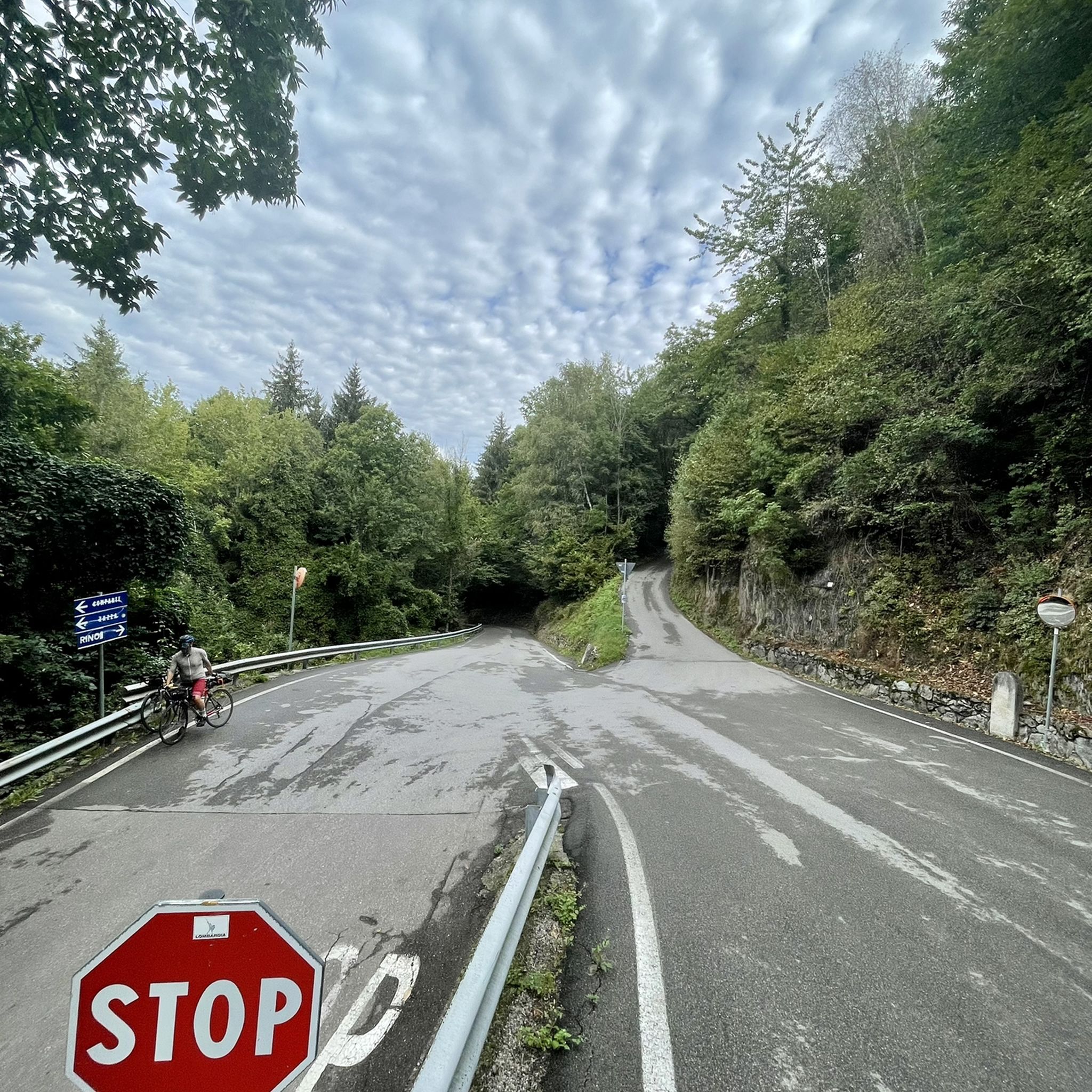
Road Cycling Routes around Parco regionale dell'Adamello
MTB Trails around Parco regionale dell'Adamello
Running Trails around Parco regionale dell'Adamello

Gravel biking around Parco regionale dell'Adamello

Mountain Hikes around Parco regionale dell'Adamello
Other adventures around Parco regionale dell'Adamello


Tips from the Community

The Rifugio Colombé is a highly appreciated mountain hut above Paspardo (Valcamonica), easily accessible and perfect for a scenic hike. It is located at an altitude of 1710 m and offers access to numerous itineraries towards Monte Colombé, Passo della Porta, Lago d’Arno, and the rock art area. 📍 Location - Location: Monte Colombé, Paspardo (BS) - Coordinates: 46.04454 N, 10.38432 E - Useful address: Via Zumella, Paspardo (most common starting point) 🥾 How to get there From Paspardo – CAI Trail 117 / 127 - Departure: Via Zumella – Centro Faunistico del Parco dell’Adamello (1100 m) - Arrival: Rifugio Colombé (1710–1850 m, depending on sources) - Elevation gain: ~750 m - Time: 1h40 – 2h30 - Difficulty: E (Hiking) The path is well-marked, starts in the woods, and then opens up to panoramic clearings with views of Valcamonica. From Cimbergo - Time: ~3h - Elevation gain: ~850 m 🏔️ What to see and do in the surroundings - Monte Colombé - Cima Barbignaga (2367 m) - Passo della Porta (connection towards Lago d’Arno) - Corno delle Pile (2899 m) - Pizzo Badile Camuno (2435 m) - Rock art sites of the Adamello Park 🛖 The hut - Manager: Massimo Alessandria - Phone: 366 503 3070 - Email: info@rifugiocolombe.it / massimo@rifugiocolombe.it - Beds: 35–37 - Lunch seats: ~90 indoors + 50 outdoors - Opening: often on request (always check) - Half board: €55–60 The hut is known for: - home-style cooking - warm welcome - splendid panoramic terrace overlooking Valcamonica
0
0

Rifugio Colombè, at 1,720 m, is located in Valcamonica and offers typical local cuisine and hospitality in a family atmosphere. Overnight stays are also possible with 37 beds. Starting point for excursions to Monte Colombè and Concarena, with a view of the Adamello group and Pizzo Badile Camuno. To check opening times, visit the refuge page: https://www.facebook.com/p/Rifugio-Colombé-100088546332468/
1
0


In this place you can still see the remains of the “Third Line”, a system of bunkers and trenches that represented the last fortified defense of the Camonica Valley during the First World War. Built to block the Austrian advance towards Brescia, it was constructed between 1916 and 1918 with kilometers of trenches, roads and military mule tracks, as well as impressive works of war engineering, much of which are still visible today.
0
0

Near Ponte di Legno, Parco Sozzine is a great place to get closer to mountain life with the whole family. The Oglio Narcanello stream flows here, which – merging with the Frigidolfo – forms the actual Oglio. There is also a children's playground made entirely of wood.
0
0

Beautiful refuge immersed in nature. Impossible not to stop after the hard climb pedaled😉
1
0

Leckeres Essen. Auch für eine Übernachtung geeignet wenn das Gemeinschaftsbad nicht stört.
1
0

Frequently Asked Questions
How many touring cycling routes are available in Parco regionale dell'Adamello?
Parco regionale dell'Adamello offers a wide selection of touring cycling routes, with over 190 options available on komoot. This includes a diverse range of trails, from easier paths to challenging mountain ascents.
What is the general difficulty level of touring cycling routes in Parco regionale dell'Adamello?
The region is known for its mountainous terrain, and this is reflected in the cycling routes. While there are 10 easy and 47 moderate routes, the majority (140) are classified as difficult, featuring significant elevation changes and demanding sections suitable for experienced touring cyclists.
Are there any easy touring cycling routes suitable for beginners in Parco regionale dell'Adamello?
Yes, there are a few easier options, though the region is predominantly challenging. For beginners, it's advisable to look for routes with minimal elevation gain and shorter distances, often found in the valley bottoms or along specific river paths. Always check the route profile on komoot before setting out.
What kind of challenges can I expect on advanced touring cycling routes in Parco regionale dell'Adamello?
Advanced routes in Parco regionale dell'Adamello typically involve substantial elevation gain, long distances, and often traverse alpine passes or high mountain roads. For example, the Vivione Pass – Descent from Passo del Vivione loop from Sonico covers over 61 km with more than 1,700 meters of ascent, demanding good physical condition and cycling experience.
Are there circular touring cycling routes in Parco regionale dell'Adamello?
Yes, many touring cycling routes in the park are designed as loops, allowing you to start and end at the same point. Examples include the popular Rifugio Colombè loop from Paspardo and the longer Viride Bike Rental Station – Panoramic Road loop from Sonico.
What is the best time of year for touring cycling in Parco regionale dell'Adamello?
The best time for touring cycling in Parco regionale dell'Adamello is generally from late spring to early autumn (June to September). During these months, mountain passes are typically clear of snow, and the weather is more stable, offering pleasant temperatures for cycling. Always check local weather forecasts, especially for higher elevations.
What can I see along the touring cycling routes in Parco regionale dell'Adamello?
The routes offer stunning alpine scenery, including views of prominent peaks like Monte Adamello. You can also discover beautiful natural monuments such as Lake Aviolo and Lake Avio, as well as mountain passes like Passo di Campo. Many routes pass by traditional mountain huts like Malga Stain Hut.
Are there places to stop for refreshments or food along the touring cycling routes?
Given the mountainous and sometimes remote nature of the park, refreshment stops can be sparse on certain routes. However, you will find mountain huts (rifugi) and small villages along some paths, especially on more frequented routes. It's always recommended to carry sufficient water and snacks, particularly for longer or more challenging tours.
Is public transport available to access touring cycling routes in Parco regionale dell'Adamello?
Public transport options to access specific trailheads within Parco regionale dell'Adamello can be limited, especially for more remote starting points. Some valley towns may have bus services, but it's advisable to check local schedules and bike transport policies in advance. Many cyclists opt to drive and park near their chosen starting point.
Where can I find parking near touring cycling routes in Parco regionale dell'Adamello?
Parking is generally available in the main towns and villages surrounding the park, such as Paspardo, Valle di Saviore, and Sonico. For specific trailheads, designated parking areas may exist, but these can fill up quickly during peak season. Always ensure you park legally and respectfully, especially in natural park areas.
What do other touring cyclists enjoy the most about touring cycling in Parco regionale dell'Adamello?
The touring cycling routes in Parco regionale dell'Adamello are highly rated by the komoot community, with an average score of 4.5 stars from over 450 reviews. Cyclists frequently praise the challenging ascents, the breathtaking alpine scenery, and the sense of accomplishment from tackling the region's diverse and demanding terrain.
Are there any particularly scenic touring cycling routes that offer great viewpoints?
Many routes in the park offer spectacular viewpoints due to the significant elevation changes. The Ponte, Saviore dell'Adamello – Isola Power Plant loop from Valle di Saviore, for instance, traverses valleys and provides expansive views of the regional landscape. Routes that climb towards passes or high-altitude huts often reward cyclists with panoramic vistas of the Adamello-Presanella Alps.
Most popular routes around Parco regionale dell'Adamello
Most popular attractions around Parco regionale dell'Adamello

Get inspired with the komoot mobile app


Explore more
Browse the best Cycling routes in other regions.
