The best traffic-free bike rides around Parco regionale dell'Adamello
4.5
(273)
11,532
riders
4
rides
No traffic road cycling routes around Parco regionale dell'Adamello traverse a landscape characterized by the Adamello-Presanella Alps, featuring dramatic peaks, extensive glaciers, and numerous valleys. The region includes diverse terrain, from valley floors along rivers like the Oglio to challenging mountain passes. Cyclists encounter varied ecosystems, including dense forests of spruce and larch at lower elevations, transitioning to alpine vegetation higher up.
Best no traffic road cycling routes around Parco regionale dell'Adamello
- The most popular no traffic road cycling route…
Last updated: October 16, 2026
4.0
(4)
387
riders
85.6km
05:02
2,100m
2,100m
Hard road ride. Very good fitness required. Mostly well-paved surfaces and easy to ride.
6
riders
16.1km
00:47
220m
220m
Moderate road ride. Great for any fitness level. Some segments of this route may be unpaved and difficult to ride.

5.0
(1)
26
riders
23.9km
01:52
980m
980m
Hard road ride. Very good fitness required. Mostly well-paved surfaces and easy to ride.
21
riders
Moderate road ride. Good fitness required. Mostly well-paved surfaces and easy to ride.
11
riders
Moderate road ride. Good fitness required. Mostly well-paved surfaces and easy to ride.
Our route recommendations are based on thousands of hikes, rides, and runs completed by other people on komoot.
Start today with a free account
Your next adventure awaits.
Popular around Parco regionale dell'Adamello

L1 from Garmisch to Brescia – Far from the classic Alpine crossings
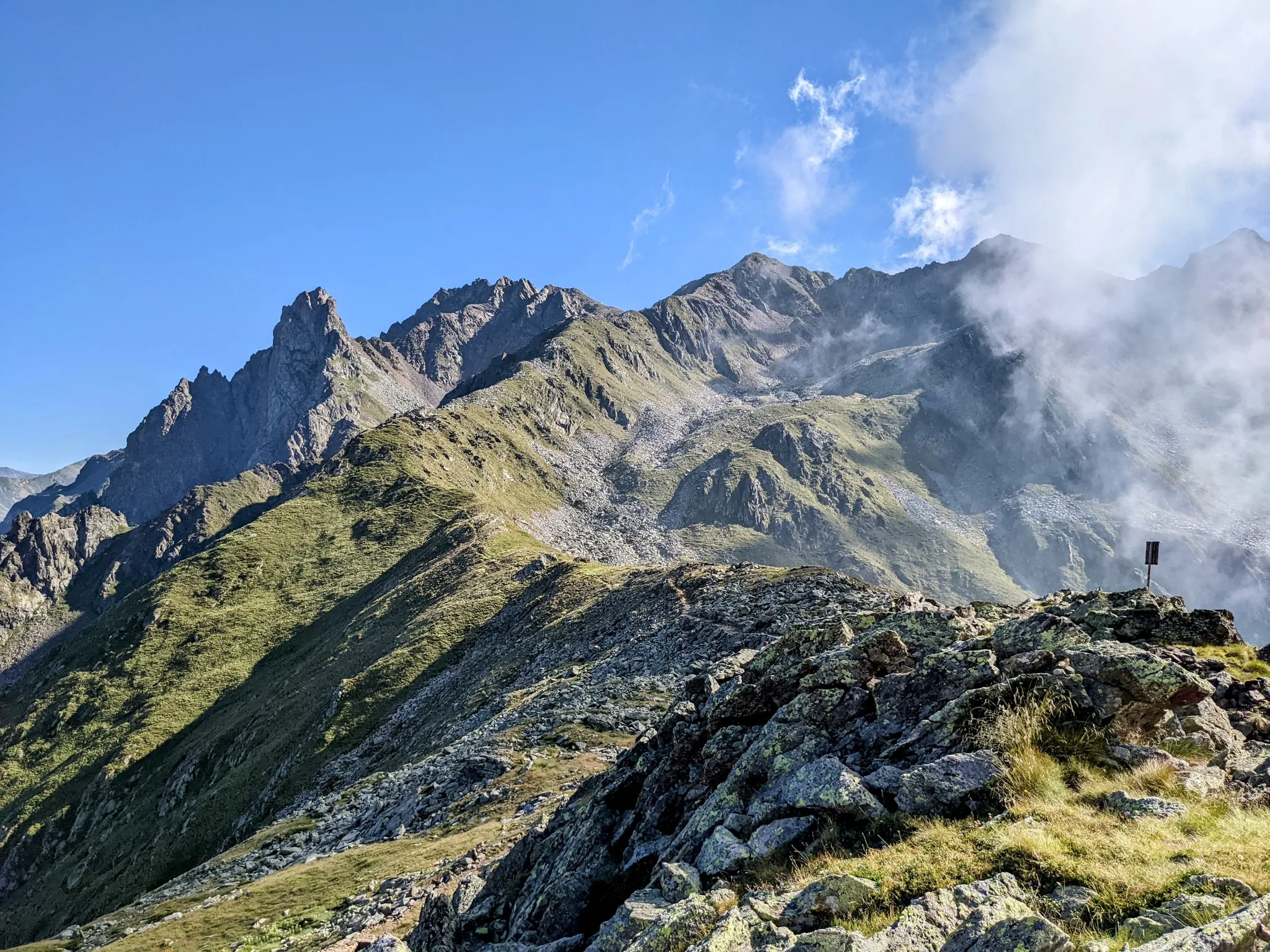
Between history and nature in Val Camonica – Adamello Ultra Trail
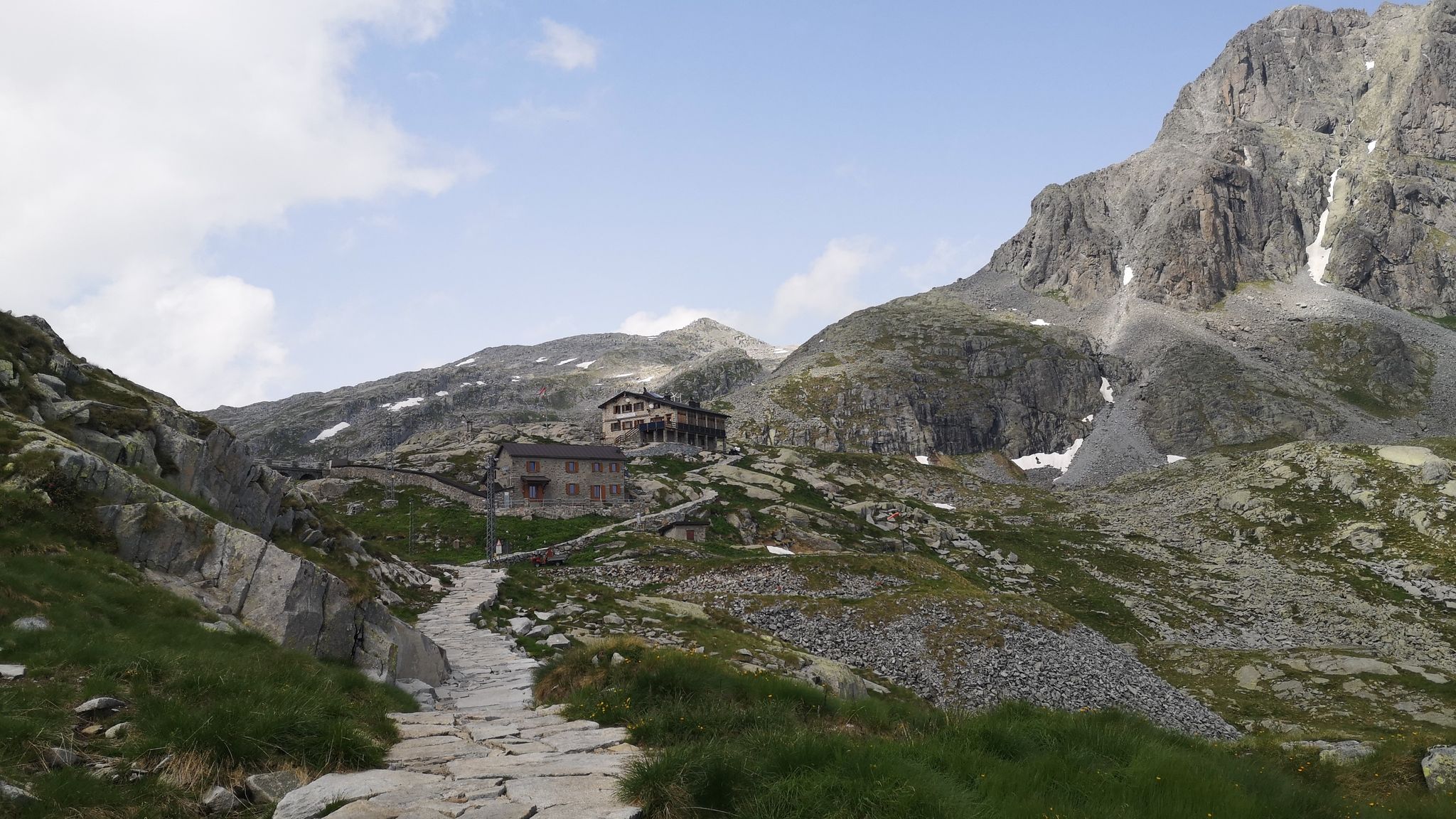
Along Path no. 1 – Alta Via dell'Adamello

Peaks, rock carvings and mountain huts – hike Italy’s Val Camonica
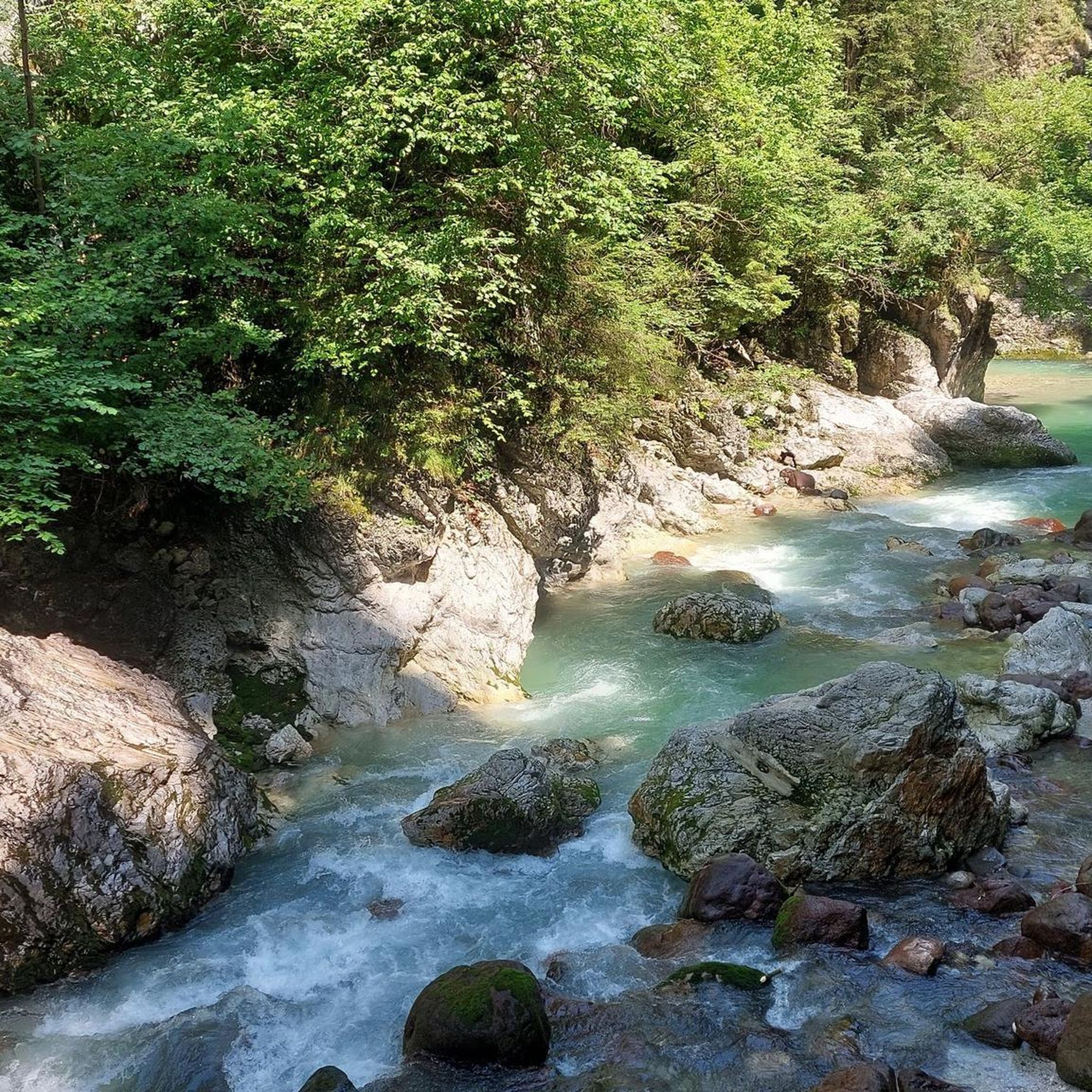
Traffic-free bike rides around Parco regionale dell'Adamello

Traffic-free bike rides around Parco regionale dell'Adamello
Other adventures around Parco regionale dell'Adamello


Tips from the Community

Post reachable from several directions
0
0

The view at 1900 masl over Valtellina. Incredible!
0
0

Dreamlike very pleasant climb to ride, in a beautiful landscape!👍
0
0

A village in the upper Camonica Valley at the confluence of the Oglio and Ogliolo rivers. Tonale and Val di Sole to the east, Aprica and Valtellina to the west, and Mortirolo to the north.
0
0

Brenta Dolomites
0
0

The Mortirolo is a legendary climb of the Giro d'Italia. The most famous is the climb from Mazzo di Valtellina – twisty, steep, and long, with an average gradient of around 10–11%, reaching 18–19% in some sections. Many cyclists consider it one of the most challenging climbs in the Alps, alongside the Stelvio and Gavia. The Mortirolo Pass is where such luminaries as Marco Pantani have won or lost stages of the Giro.
1
0
The pass is located at an altitude of 1,852 meters above sea level. It connects the Valtellina Valley (Bormio) with the Camonica Valley (Monno). The pass lies in the heart of the Retiche Mountains, in an area full of mountain lakes and steep Alpine landscapes.
1
0
Passo del Mortirolo (also known as Passo della Foppa) is one of the most demanding Alpine passes in Italy, especially famous in the world of cycling.
1
0
Frequently Asked Questions
How many no-traffic road cycling routes are available in Parco regionale dell'Adamello?
There are 8 dedicated no-traffic road cycling routes listed in this guide for Parco regionale dell'Adamello. These routes offer a range of distances and elevations, ensuring a suitable option for various skill levels.
What is the overall difficulty level of no-traffic road cycling in Parco regionale dell'Adamello?
The no-traffic road cycling routes in Parco regionale dell'Adamello tend towards moderate to difficult. Out of the 8 routes, 3 are rated as moderate and 5 are considered difficult, often featuring significant elevation gains through the alpine terrain.
What do other cyclists say about the no-traffic road cycling routes in Parco regionale dell'Adamello?
The no-traffic road cycling routes in Parco regionale dell'Adamello are highly regarded by the komoot community, with an average rating of 4.56 stars from 189 reviews. Cyclists often praise the stunning alpine scenery, the challenge of the climbs, and the peaceful, car-free environment.
Are there any circular no-traffic road cycling routes in Parco regionale dell'Adamello?
Yes, many of the no-traffic road cycling routes in Parco regionale dell'Adamello are designed as loops, allowing you to start and end in the same location. For example, the Mural on Roadside Building loop from Sonico and the Incudine – Monno Village loop from Incudine are excellent circular options.
What kind of terrain can I expect on the no-traffic road cycling routes?
The terrain on these routes is predominantly mountainous, featuring paved roads that wind through picturesque valleys and ascend towards higher elevations. You can expect varied surfaces, from smooth asphalt to some sections that might be older or less maintained, typical of alpine roads. The region's topography, shaped by glaciers, ensures dramatic climbs and descents.
Are there any easy no-traffic road cycling routes suitable for beginners or families?
While many routes feature significant climbs, there are moderate options that might be suitable for families or beginners looking for a challenge. The Edolo Town Center – Edolo loop from Edolo is a moderate route with a more manageable elevation gain, offering a good starting point to experience the region's beauty without heavy traffic.
Where can I park my car to access these no-traffic road cycling routes?
Parking is generally available in the towns and villages that serve as starting points for these routes, such as Sonico, Vezza d'Oglio, Incudine, and Edolo. Look for designated parking areas within these communities. It's always a good idea to arrive early, especially during peak season, to secure a spot.
What natural features and landmarks can I see along the no-traffic road cycling routes?
The routes offer breathtaking views of the Adamello-Presanella Alps, including majestic mountains like Monte Adamello. You'll also encounter stunning high-altitude lakes such as Lake Aviolo and Lake Avio, as well as charming mountain huts like Malga Stain Hut. The glacial formations and diverse ecosystems provide a constantly changing and beautiful backdrop.
What is the best time of year for no-traffic road cycling in Parco regionale dell'Adamello?
The best time for road cycling in Parco regionale dell'Adamello is typically from late spring (May/June) through early autumn (September/October). During these months, the weather is generally more stable, mountain passes are clear of snow, and the natural scenery is at its most vibrant. Always check local weather forecasts and road conditions before heading out.
Are there any cafes or places to stop for refreshments along the no-traffic road cycling routes?
Yes, many of the routes pass through or near small villages and towns where you can find cafes, restaurants, and small shops to refuel. Additionally, the region is dotted with mountain huts (rifugios) like Rifugio Franco Tonolini, which often offer refreshments and meals, providing excellent stopping points with stunning views.
Can I reach the starting points of these routes using public transport?
Public transport options, primarily buses, connect many of the towns and villages within and around Parco regionale dell'Adamello. While some routes might require a short ride or transfer, it is often possible to reach starting points like Edolo or Vezza d'Oglio via public transport. Check local bus schedules for the Val Camonica area to plan your journey.
Are there any specific permits required for cycling in Parco regionale dell'Adamello?
Generally, no specific permits are required for road cycling on public roads within Parco regionale dell'Adamello. However, always respect park regulations, stay on marked paths, and be mindful of wildlife. If you plan to venture off-road or into very remote areas, it's advisable to check with the park authority for any specific guidelines.
Most popular routes around Parco regionale dell'Adamello
Most popular attractions around Parco regionale dell'Adamello

Get inspired with the komoot mobile app


Explore more
Browse the best Road cycling routes in other regions.
