The best cycling routes around Obermaßfeld-Grimmenthal
4.7
(117)
652
riders
17
rides
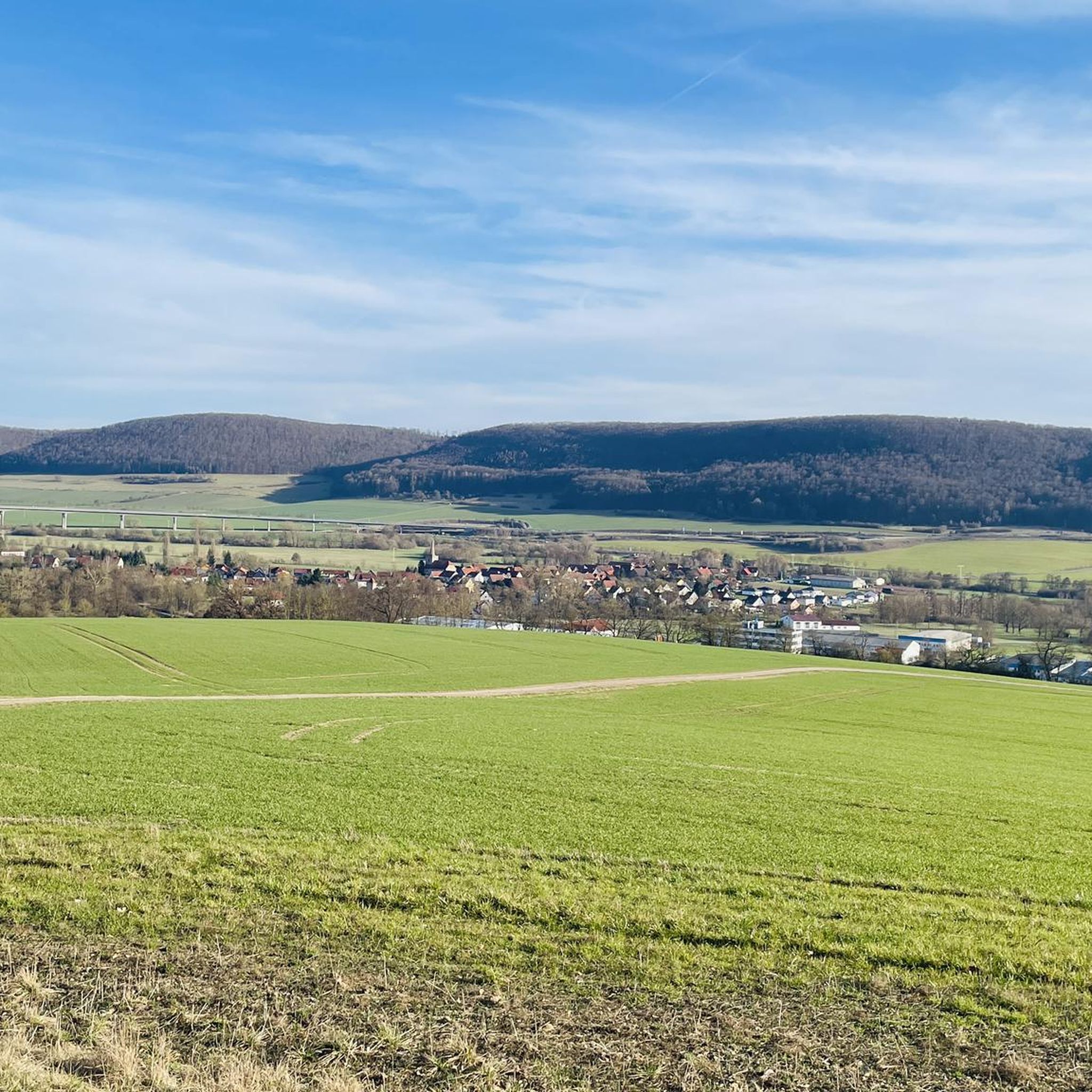
Touring cycling around Obermaßfeld-Grimmenthal offers routes through the heart of Germany, within the Schmalkalden-Meiningen district of Thuringia. The region features the Werra River valley, providing gentle terrain ideal for cycling, and is bordered by the Thuringian Forest and Rennsteig mountains. Cyclists can explore picturesque forests and idyllic villages, with varied terrain that includes both flat river paths and sections with moderate inclines. This area is characterized by its natural landscapes and well-developed cycling infrastructure.
Best touring cycling routes around Obermaßfeld-Grimmenthal
…Last updated: July 5, 2026
4.8
(20)
211
riders
Easy bike ride. Great for any fitness level. Mostly paved surfaces. Suitable for all skill levels.
4.6
(42)
141
riders
Moderate bike ride. Good fitness required. Mostly paved surfaces. Suitable for all skill levels.

Sign up for free
4.8
(8)
48
riders
34.5km
02:22
280m
280m
Moderate bike ride. Good fitness required. Mostly paved surfaces. Suitable for all skill levels.
4.9
(10)
47
riders
19.0km
01:05
50m
50m
Easy bike ride. Great for any fitness level. Mostly paved surfaces. Suitable for all skill levels.
4.5
(10)
37
riders
Moderate bike ride. Good fitness required. Mostly paved surfaces. Suitable for all skill levels.
Get access to more routes and recommendations from other explorers.
Sign up for free
Already have an account?
Our route recommendations are based on thousands of hikes, rides, and runs completed by other people on komoot.
Start today with a free account
Your next adventure awaits.
Login or Signup
Popular around Obermaßfeld-Grimmenthal
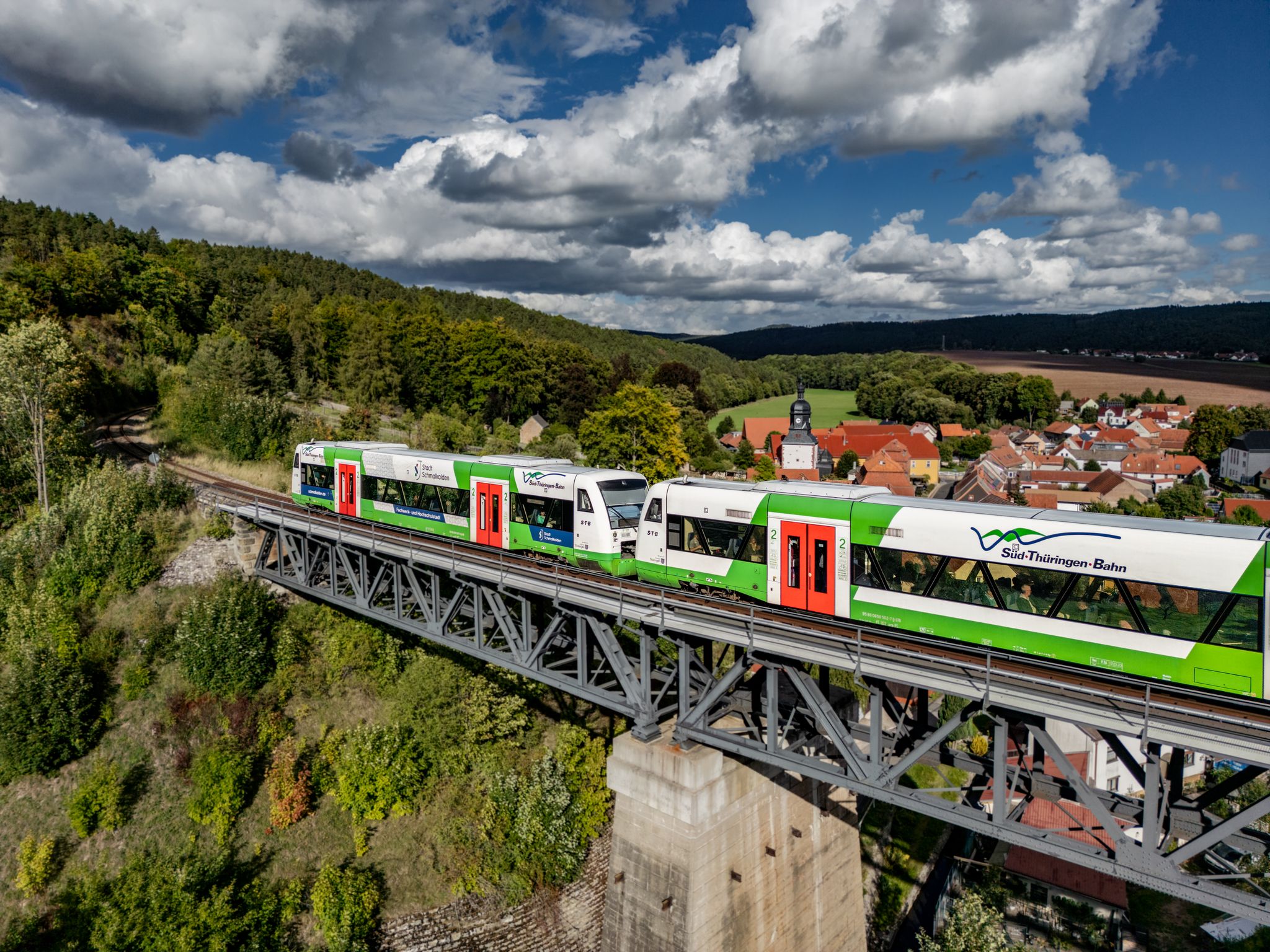
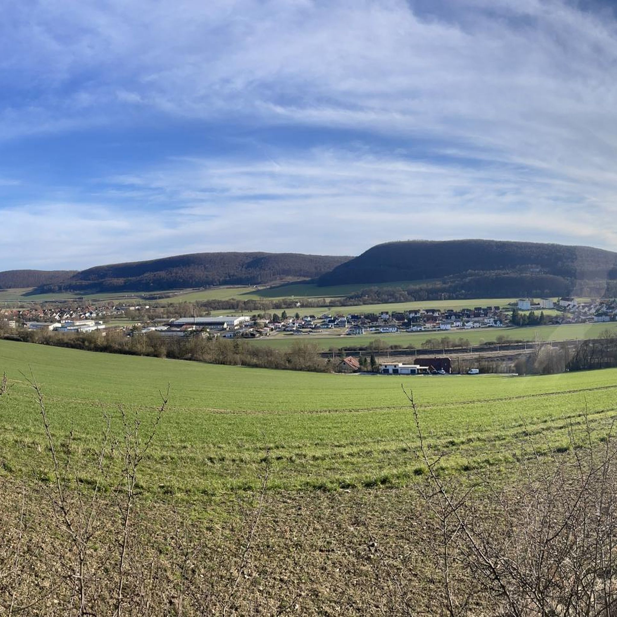
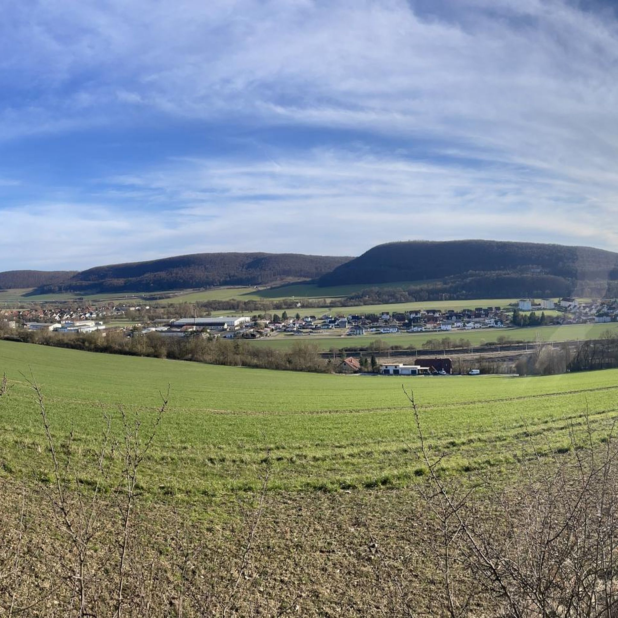
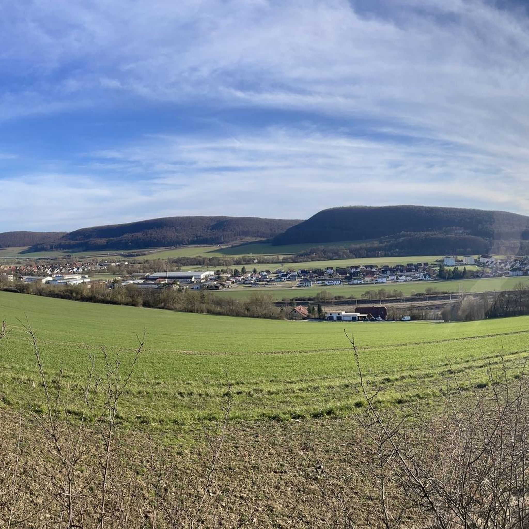
Other adventures around Obermaßfeld-Grimmenthal

Tips from the Community

Picnic area with a view
0
0

The route from/to Meiningen is very scenic, but a bit narrow when there is oncoming traffic.
0
0
A very scenic bike path with all kinds of terrain. There are some moderate climbs at times. Unfortunately, the path isn't well-signposted (with shops and refreshment stops), so always pack some snacks.
0
0

The Evangelical Lutheran Church of St. Mary Margaret is located in the Rentwertshausen district of the Grabfeld municipality in the Schmalkalden-Meiningen district of Thuringia. It belongs to the Bibra parish in the Meiningen church district of the Evangelical Church in Central Germany. There is no date of construction for this strikingly small village church, with its half-timbered upper story in the church tower. Nothing is known about a previous building. However, the year 1604 in the pulpit inscription is linked to the construction period. The organ was purchased around 1800, and the baptismal font, dating from 1844, is neo-Gothic. In 1983, the church received modern wooden decorations, including an altar cross, antependium, ambo, and pulpit, by the Greiz artist Elly-Viola Nahmmacher. Source: https://de.m.wikipedia.org/wiki/St._Maria_Margaretha_(Rentwertshausen)
17
0
The museum, newly established in 1997, displays a variety of interesting exhibits. Visitors gain detailed insights into the history of Jüchsen. Some finds are the result of years of archaeological research into the prehistoric settlement of Widderstatt (dating back to 8000 BC). The well-written text and the selection of exhibits make the visit a unique experience for all history buffs. The museum is located on the Celtic Experience Trail, which leads past interesting prehistoric settlements, hill forts, and more. Source: https://www.thueringen.info/museum-juechsen.html
16
0
Now somewhat dated, cracks have been filled with tar. However, this doesn't detract from the route's appeal.
9
0

always up and down but great to ride
0
0

Frequently Asked Questions
How many touring cycling routes are available in Obermaßfeld-Grimmenthal?
Obermaßfeld-Grimmenthal offers a comprehensive network of 74 cycling routes. These include 9 easy, 7 moderate, and 3 difficult routes, catering to various skill levels.
What kind of terrain can I expect on touring cycling routes in Obermaßfeld-Grimmenthal?
The region features diverse terrain. You'll find gentle paths along the Werra River valley, ideal for relaxed cycling, as well as sections with moderate inclines, especially closer to the Thuringian Forest and Rennsteig mountains. The landscape combines picturesque forests, idyllic villages, and riverine scenery.
What is the best time of year for touring cycling in Obermaßfeld-Grimmenthal?
The most popular months for touring cycling in Obermaßfeld-Grimmenthal are June and August, when the weather is generally pleasant for outdoor activities. However, the region offers beautiful scenery throughout the warmer months.
Are there easy touring cycling routes suitable for beginners or families?
Yes, there are several easy routes perfect for beginners and families. For instance, the Werra River Cycle Path – Untermaßfeld Fish Ponds loop from Obermaßfeld-Grimmenthal is an easy 7.8-mile (12.6 km) trail that follows the scenic Werra River and passes tranquil fish ponds, offering a relaxing experience.
Are there circular touring cycling routes available in Obermaßfeld-Grimmenthal?
Many of the touring cycling routes in Obermaßfeld-Grimmenthal are designed as loops, allowing you to start and end your journey in the same location. Examples include the Old Vachdorf Station – Werratal Cycle Path loop from Grimmenthal and the Haseltal Cycle Path Near Rohr – Hasel Crossing loop from Grimmenthal.
What natural features can I see along the touring cycling routes?
The routes often follow the picturesque Werra River, known for its scenic beauty and weirs. You can also explore the tranquil Untermaßfeld Fish Ponds, and enjoy views of the surrounding Thuringian Forest and Rennsteig mountains. Keep an eye out for wildlife like goosanders near Wasungen.
Are there any historical landmarks or points of interest to explore on a touring cycling trip?
Absolutely. You might encounter the beautiful historic stone bridge near Einhausen, a village with Celtic settlement history and a church fortress. The region is also dotted with idyllic villages and charming half-timbered towns like Meiningen. For those interested in history, highlights such as the Habichtsburg Ruins or Henneburg Castle Ruins are also nearby.
What do other touring cyclists enjoy the most about touring cycling in Obermaßfeld-Grimmenthal?
The area is highly rated by the komoot community, with an average score of 4.5 stars from over 100 reviews. Cyclists often praise the well-developed cycling infrastructure, the stunning natural landscapes along the Werra River, and the blend of nature and culture found in the charming villages and historical sites.
Are there any longer-distance touring cycling routes that connect to other towns?
Yes, the region is part of an extensive network. The Werratal Cycle Path, one of Germany's most popular routes, passes through the area, offering opportunities for longer tours connecting to towns like Meiningen and other charming half-timbered towns in the wider region.
Are there any routes that offer a mix of cultural exploration and natural beauty?
Certainly. The Half-timbered house in Jüchsen – St. Michael's Church, Jüchsen loop from Grimmenthal is a moderate 25.9-mile (41.7 km) path that allows you to explore charming local villages, including a historic half-timbered house and St. Michael's Church, while enjoying the surrounding landscapes.
Can I find viewpoints along the cycling routes in Obermaßfeld-Grimmenthal?
While specific viewpoints are not always marked, the varied terrain and proximity to the Thuringian Forest and Rennsteig offer numerous scenic vistas. The Sternplatz and the Adolfstein Memorial is a notable viewpoint in the wider area that can be incorporated into longer rides.
Most popular routes around Obermaßfeld-Grimmenthal
Most popular attractions around Obermaßfeld-Grimmenthal

Get inspired with the komoot mobile app


Explore more
Browse the best Cycling routes in other regions.
