The best road cycling routes around Obermaßfeld-Grimmenthal
4.4
(198)
2,401
riders
129
rides
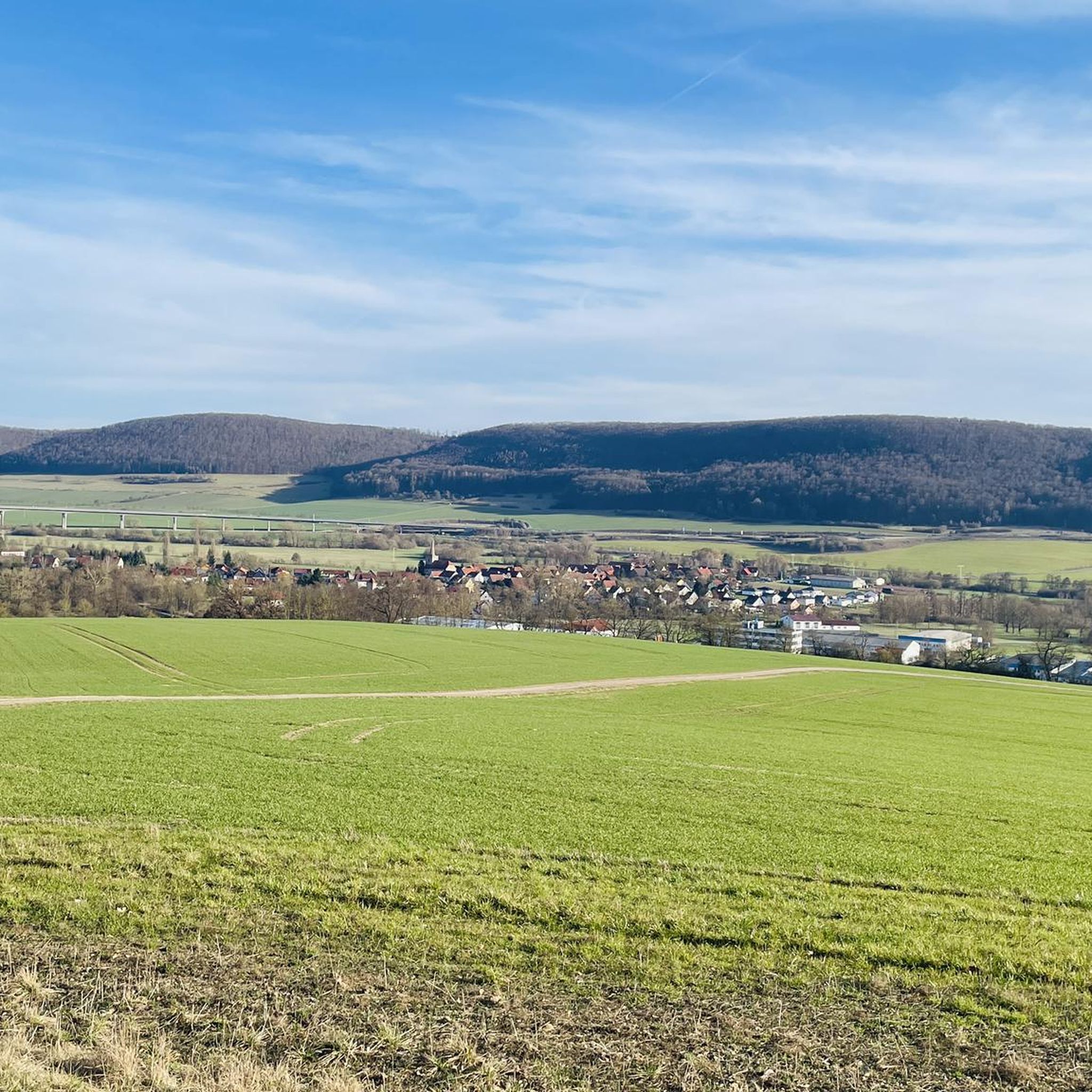
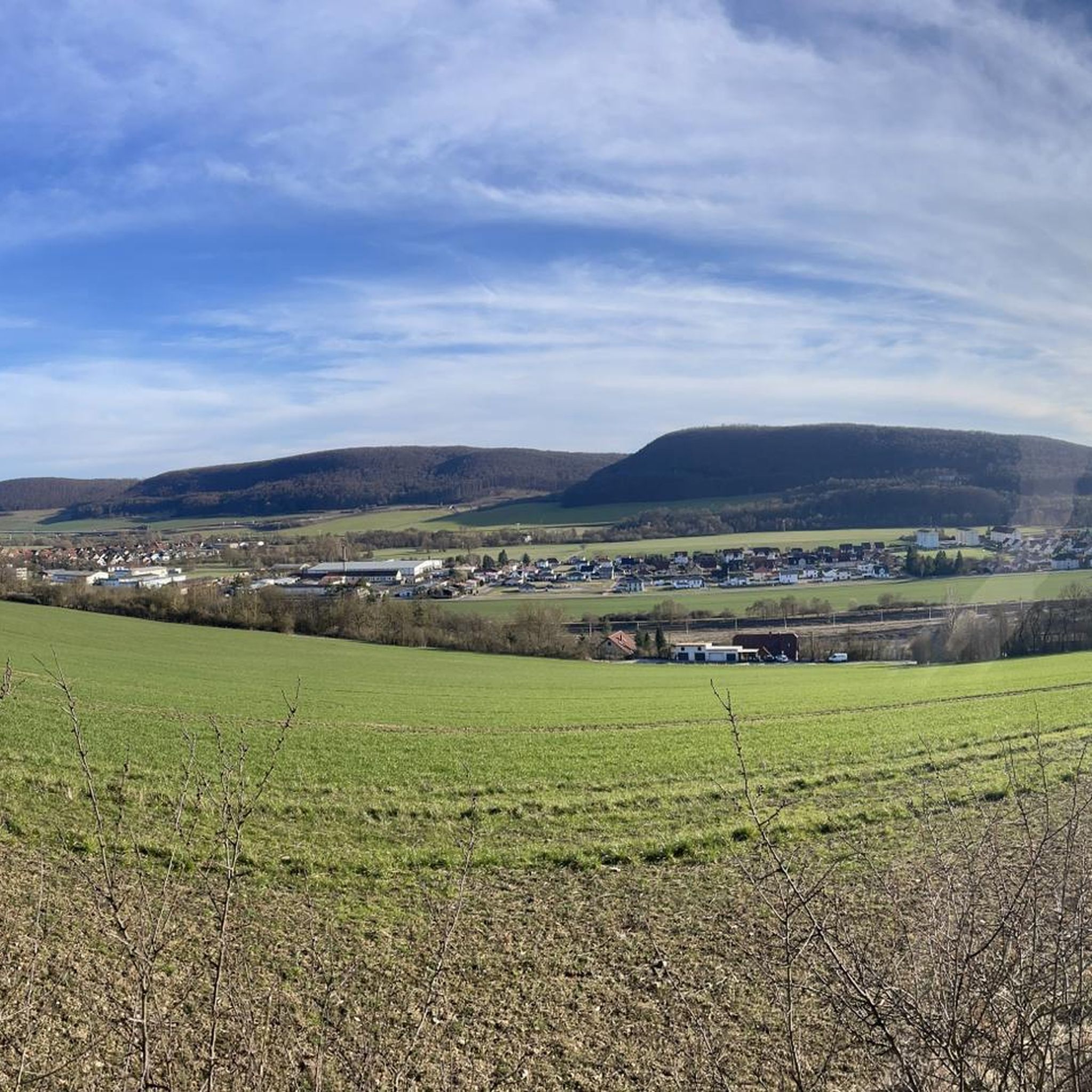
Road cycling around Obermaßfeld-Grimmenthal offers diverse terrain within the picturesque Werra Valley, situated in southern Thuringia. The region features rolling hills, dense forests, and expansive fields, providing varied backdrops for road cycling routes. It lies at the edge of the Thuringian Forest and is within reach of the Rhön low mountain range, presenting opportunities for both valley rides and ascents. The Werra River is a central natural feature, with well-developed cycling infrastructure along its banks.
Best road cycling routes around…
Last updated: July 1, 2026
4.6
(9)
111
riders
45.9km
01:49
220m
220m
Easy road ride. Great for any fitness level. Mostly well-paved surfaces and easy to ride.
5.0
(1)
25
riders
Moderate road ride. Great for any fitness level. Some segments of this route may be unpaved and difficult to ride.

Sign up for free
5.0
(1)
14
riders
71.8km
03:08
600m
600m
Moderate road ride. Good fitness required. Mostly well-paved surfaces and easy to ride.
9
riders
63.6km
02:37
370m
370m
Moderate road ride. Good fitness required. Mostly well-paved surfaces and easy to ride.
4.0
(2)
18
riders
Moderate road ride. Great for any fitness level. Some segments of this route may be unpaved and difficult to ride.
Get access to more routes and recommendations from other explorers.
Sign up for free
Already have an account?
Our route recommendations are based on thousands of hikes, rides, and runs completed by other people on komoot.
Start today with a free account
Your next adventure awaits.
Login or Signup
Popular around Obermaßfeld-Grimmenthal
Other adventures around Obermaßfeld-Grimmenthal

Tips from the Community

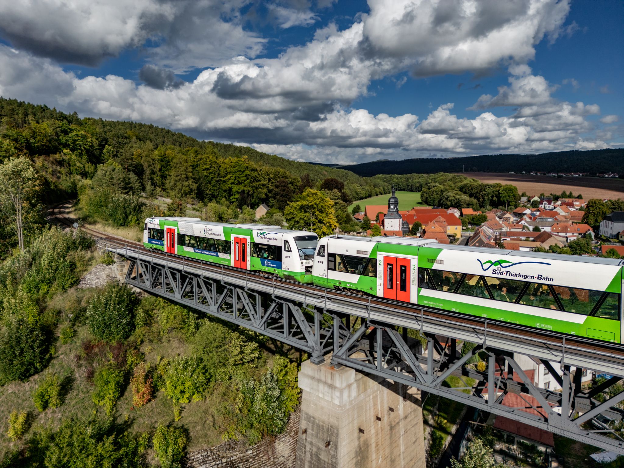
Simply a bridge over the Werra
0
0

Beautiful building, unfortunately it is no longer used and is increasingly falling into disrepair.
1
0

There are always beautiful stone bridges over the Werra. Often, there are brief information about the bridge along the side.
1
0

The Evangelical Lutheran Church of St. Mary Margaret is located in the Rentwertshausen district of the Grabfeld municipality in the Schmalkalden-Meiningen district of Thuringia. It belongs to the Bibra parish in the Meiningen church district of the Evangelical Church in Central Germany. There is no date of construction for this strikingly small village church, with its half-timbered upper story in the church tower. Nothing is known about a previous building. However, the year 1604 in the pulpit inscription is linked to the construction period. The organ was purchased around 1800, and the baptismal font, dating from 1844, is neo-Gothic. In 1983, the church received modern wooden decorations, including an altar cross, antependium, ambo, and pulpit, by the Greiz artist Elly-Viola Nahmmacher. Source: https://de.m.wikipedia.org/wiki/St._Maria_Margaretha_(Rentwertshausen)
17
0

A beautiful historic market square, well-preserved and restored half-timbered houses, a few cafes and ice cream parlors invite you to sit outside in the summer.
2
0
Frequently Asked Questions
What kind of terrain can I expect on road cycling routes around Obermaßfeld-Grimmenthal?
The region offers a diverse landscape for road cycling, characterized by rolling hills, dense forests, and expansive fields. Situated at the edge of the Thuringian Forest and near the Rhön low mountain range, you'll find opportunities for both leisurely rides through valleys, often alongside the Werra River, and more challenging ascents.
How many road cycling routes are available in the Obermaßfeld-Grimmenthal area?
There are over 130 road cycling routes available around Obermaßmaßfeld-Grimmenthal. These routes cater to various preferences, including easy, moderate, and difficult ability levels, ensuring options for all cyclists.
Are there any easy road cycling routes suitable for beginners or relaxed rides?
Yes, there are easy routes available. For a relaxed ride, consider the Along the Hasel – New bridge over the Hasel loop from Grimmenthal, which is an easy 46 km trail following the Hasel river with minimal elevation gain.
What are the best months for road cycling in Obermaßfeld-Grimmenthal?
The best months for road cycling in Obermaßfeld-Grimmenthal are typically June and August. During these months, the weather is generally favorable for enjoying the scenic routes through the Werra Valley and surrounding areas.
What do other road cyclists enjoy most about the routes in Obermaßfeld-Grimmenthal?
The road cycling routes in Obermaßfeld-Grimmenthal are highly rated by the komoot community, with an average score of 4.5 stars from over 180 reviews. Cyclists often praise the varied terrain, the picturesque Werra Valley, and the well-developed cycling infrastructure.
Are there any historical landmarks or attractions to see along the road cycling routes?
Yes, the region is rich in historical attractions. You can encounter beautiful stone bridges, such as the Historic Bridge Near Einhausen, which offers picturesque photo opportunities. Additionally, routes may pass by various castles and ruins. For example, the Bibra Castle – Römhild Market Square loop from Ritschenhausen offers views of Bibra Castle.
Can I find routes that pass through towns or offer opportunities to explore local culture?
Absolutely. The Meiningen Old Town – Meininger State Theatre loop from Untermaßfeld is a great option, leading through the historic town of Meiningen, allowing you to experience its charm and perhaps visit the Meininger State Theatre.
Are there any routes that follow the Werra River?
Yes, the Werra River is a central natural feature, and many routes utilize the well-developed Werratal Cycle Path. A good example is the Werra Riverside at Vachdorf – Werra Weir in Henfstädt loop from Grimmenthal, which provides scenic views along the river.
Are there any viewpoints or natural features to look out for on the routes?
Beyond the Werra River itself, which offers tranquil stretches and opportunities for wildlife observation, you can find specific viewpoints. For instance, the View from the Diezhäuschen is a notable highlight in the area, offering scenic vistas.
Are there places to stop for refreshments or a meal along the cycling routes?
Yes, you'll find options for refreshments. The Henneberger Haus, a richly decorated restaurant, is located directly on the Bleichgraben and offers a pleasant stop for cyclists. Many towns along the routes will also have cafes and pubs.
What is the elevation profile like on the road cycling routes?
The elevation profile varies significantly. While some routes, particularly those along the Werra Valley, feature minimal elevation, others venture into the rolling hills and offer more challenging ascents. For example, the Meiningen Old Town – Meininger State Theatre loop from Untermaßfeld includes nearly 600 meters of elevation gain.
Are there any routes that offer a good balance of distance and moderate challenge?
Many routes fall into the moderate category. The Werra in Obermaßfeld – A71 Bridge Crossing loop from Untermaßfeld is a moderate 22.2 km route with manageable elevation, offering a good balance for those looking for a solid ride without extreme difficulty.
Most popular routes around Obermaßfeld-Grimmenthal
Most popular attractions around Obermaßfeld-Grimmenthal

Get inspired with the komoot mobile app


Explore more
Browse the best Road cycling routes in other regions.
