The best road cycling routes around Obergerlafingen
4.6
(443)
9,367
riders
329
rides
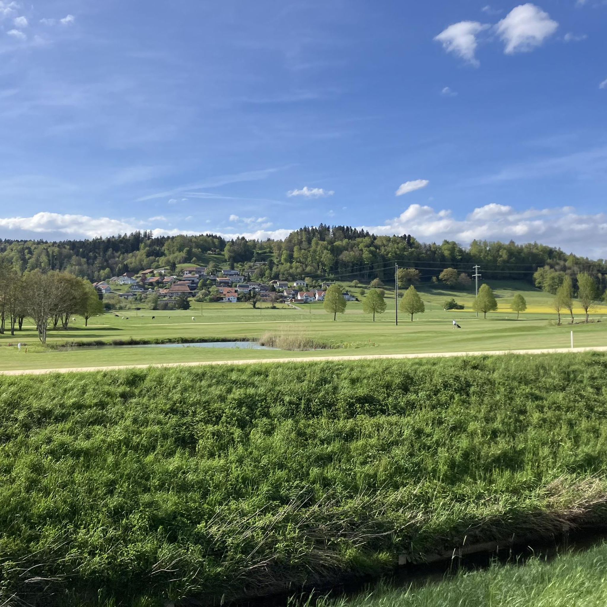
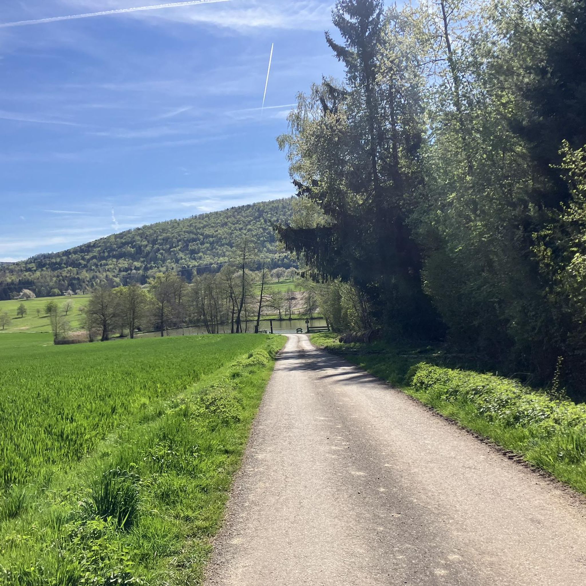
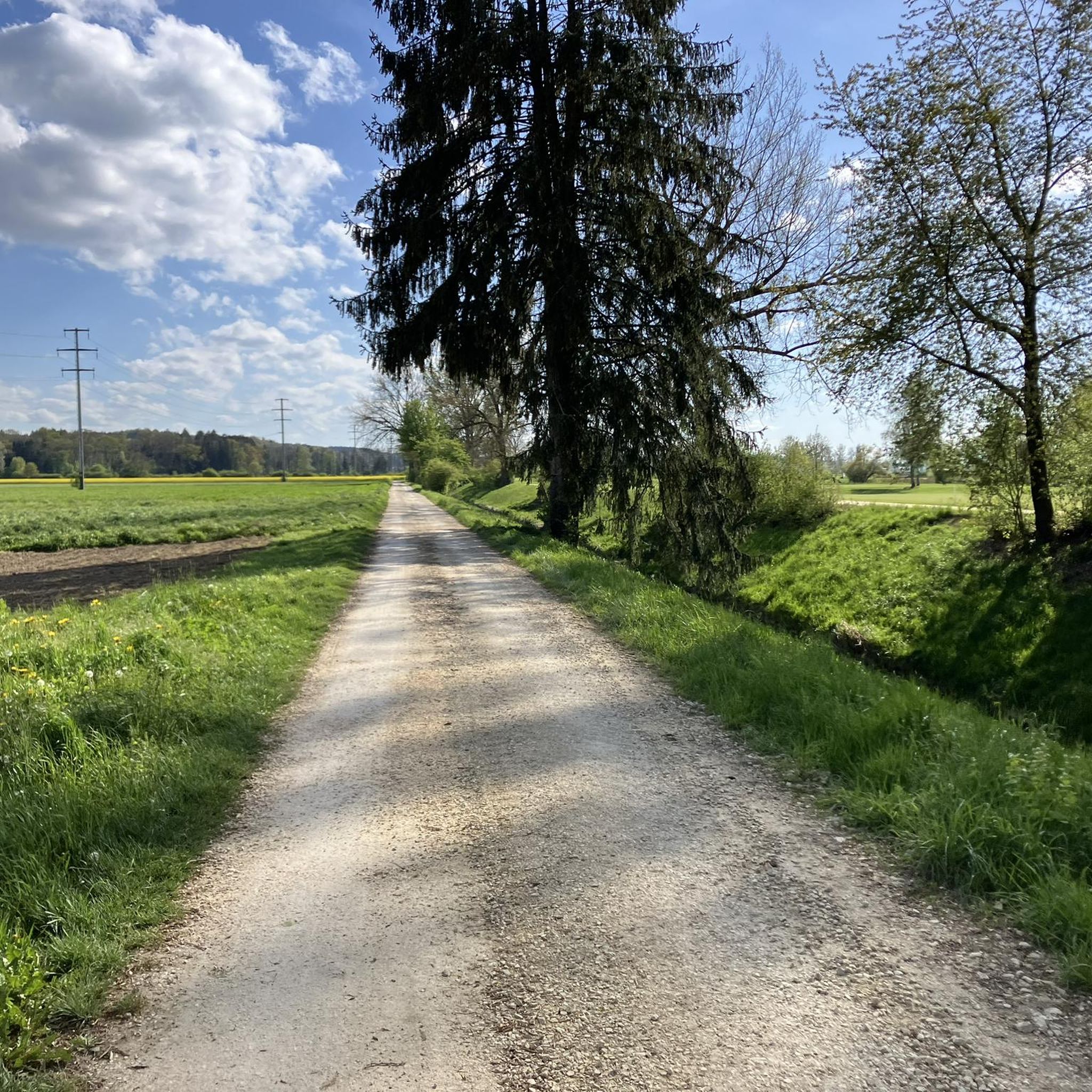
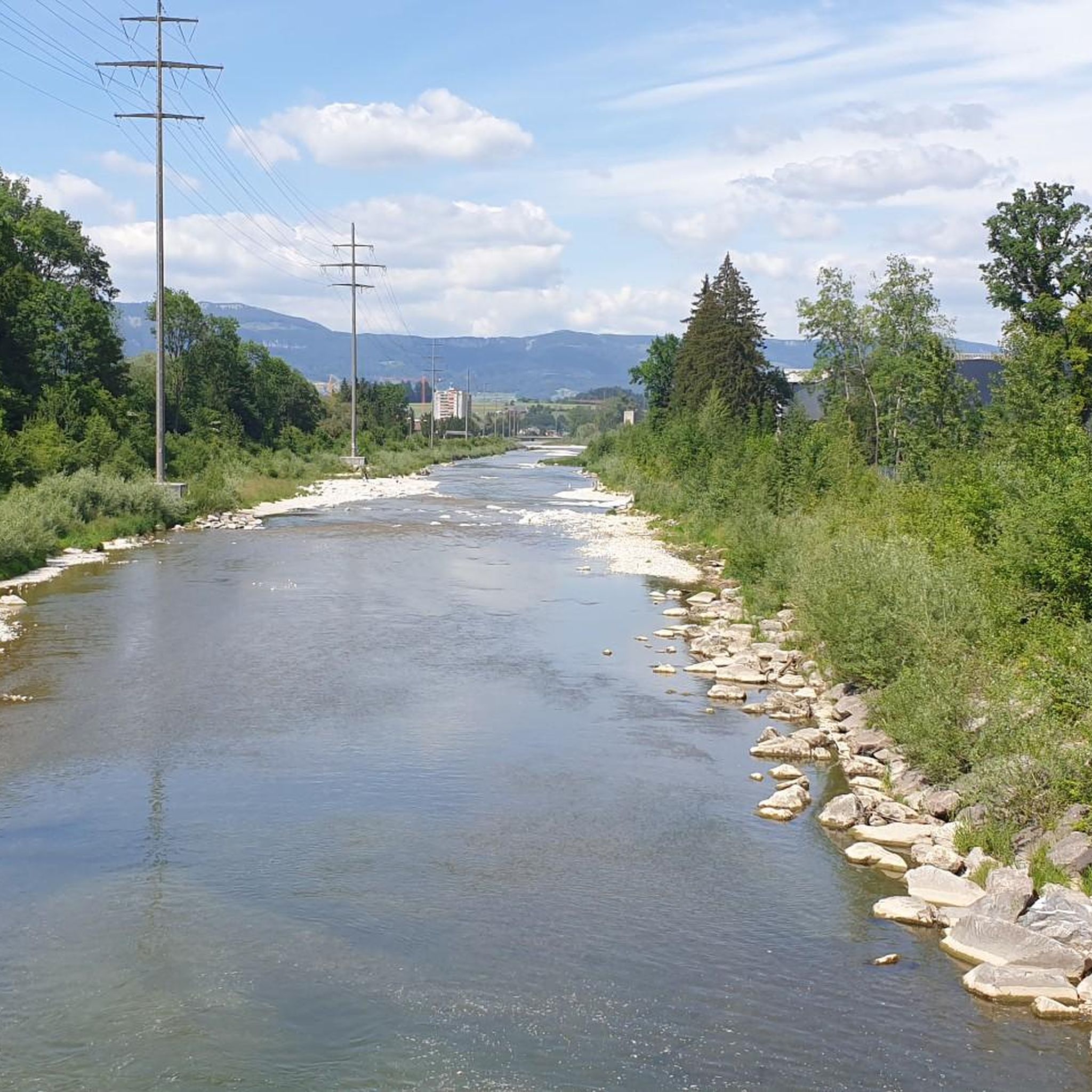
Road cycling routes around Obergerlafingen are set within Switzerland's Wasseramt district, characterized by a varied geography that includes significant agricultural land, forested areas, and settled regions. The municipality is situated between the Emme and Oesch rivers, offering flat, scenic stretches along waterways. Cyclists can experience diverse terrain, from open farmlands with expansive views to cooler, shaded pathways through wooded sections. The region's proximity to the Jura mountains also provides access to routes with more challenging climbs and elevation gains.
Best…
Last updated: July 10, 2026
4.4
(5)
135
riders
54.1km
02:34
550m
550m
Moderate road ride. Good fitness required. Some segments of this route may be unpaved and difficult to ride.
5.0
(4)
112
riders
52.7km
02:12
190m
190m
Moderate road ride. Good fitness required. Some segments of this route may be unpaved and difficult to ride.

Sign up for free
4.0
(1)
75
riders
Moderate road ride. Good fitness required. Mostly well-paved surfaces and easy to ride.
5.0
(2)
47
riders
37.8km
02:03
690m
690m
Moderate road ride. Good fitness required. Mostly well-paved surfaces and easy to ride.
27
riders
79.3km
03:45
710m
710m
Moderate road ride. Good fitness required. Some segments of this route may be unpaved and difficult to ride.
Get access to more routes and recommendations from other explorers.
Sign up for free
Already have an account?
Our route recommendations are based on thousands of hikes, rides, and runs completed by other people on komoot.
Start today with a free account
Your next adventure awaits.
Login or Signup

Tips from the Community

pretty here, mega super pretty
0
0

it always goes 'up' to the Lueg, sometimes nicer and sometimes uglier...
0
0
Great place to enjoy a fine Burgdorf beer after a bike ride!
0
0

There are parking spaces directly at the pass
0
0

On Sundays, the restaurant closes at 4:00 PM. Don't they need it?
1
0

You should definitely stop by the Burgdorfer Schützenhaus if you like beer. Burgdorfer 1999 beer was first brewed in the brewery. Today, the facility is still in operation, producing specialty beers. You can also enjoy a good meal and recharge your batteries at the inn. More information: https://burgdorferschuetzenhaus.ch/.
0
0

Even better than the show dairy is the Meier bakery right next door! Ideal for a refreshing snack in the form of a cream cake or a Nide cake.
1
0

Frequently Asked Questions
What kind of terrain can I expect on road cycling routes around Obergerlafingen?
Obergerlafingen offers a diverse landscape for road cyclists. You'll find routes traversing significant agricultural land with expansive views, cooler shaded pathways through forested areas, and scenic stretches along the Emme and Oesch rivers. The region's proximity to the Jura mountains also provides access to routes with more challenging climbs and elevation gains for those seeking a tougher ride.
How many road cycling routes are available in the Obergerlafingen area?
There are over 340 road cycling routes available around Obergerlafingen. This includes a wide range of options, with 64 easy routes, 236 moderate routes, and 44 difficult routes, catering to various skill levels and preferences.
Are there any family-friendly road cycling routes in Obergerlafingen?
Yes, Obergerlafingen offers routes suitable for families. The riverine paths along the Emme and Oesch rivers typically provide flatter terrain, ideal for relaxed rides. These routes allow families to enjoy tranquil natural surroundings and are generally well-paved, ensuring a smooth experience.
What are some notable landmarks or attractions I can see while road cycling near Obergerlafingen?
Many routes in the broader Solothurn area, accessible from Obergerlafingen, incorporate cultural and historical points of interest. You might pass by the Aare River Promenade in Solothurn, the Wangen an der Aare Covered Wooden Bridge, or the unique Verenaschlucht and Hermitage. For those seeking views, routes towards the Jura mountains can offer panoramic vistas from points like the Balmfluechöpfli Summit.
Are there challenging road cycling routes with significant elevation gains?
Absolutely. While Obergerlafingen itself features flatter riverine paths, its location provides access to more challenging routes in the Jura mountain range. Cyclists can find tours with significant climbs, such as those towards Weissenstein or Balmberg, which offer demanding physical challenges and rewarding panoramic views.
What is the best time of year for road cycling in Obergerlafingen?
The region is generally pleasant for cycling through much of the year. Spring and autumn offer comfortable temperatures and beautiful scenery, while summer provides longer daylight hours. The diverse terrain, with both open fields and shaded forests, allows for enjoyable rides even on warmer days.
Can I find circular road cycling routes around Obergerlafingen?
Yes, many of the road cycling routes in the Obergerlafingen area are designed as loops. For example, the Moossee loop from Gerlafingen is a popular moderate route that circles the tranquil Moossee, providing a scenic ride through the countryside. Another option is the Burgdorf Castle – Lueg Viewpoint loop from Gerlafingen, which includes moderate climbs and panoramic views.
What do other road cyclists say about the routes in Obergerlafingen?
The road cycling routes around Obergerlafingen are highly regarded by the komoot community, with an average score of 4.6 stars from over 400 reviews. More than 9,000 road cyclists have used komoot to explore the varied terrain, often praising the well-maintained paths and the blend of riverine scenery, agricultural fields, and forested sections.
Are there options for longer distance road cycling routes?
Yes, you can find longer routes in the area. For instance, the Ey Bridge over the Emme River – Moosegg Viewpoint loop from Gerlafingen covers nearly 80 kilometers (50 miles) and includes significant elevation gain, making it suitable for longer, more enduring rides.
How accessible are the road cycling routes by public transport or car parking?
Obergerlafingen is well-integrated into a network of routes, and the broader Solothurn region is known for its cycling infrastructure. Many routes are accessible from towns like Gerlafingen, which likely offers public transport connections and parking facilities, making it convenient to start your ride. Specific starting points are often detailed within individual route descriptions on komoot.
Can I find routes that are specifically easy or beginner-friendly?
Yes, there are 64 easy road cycling routes around Obergerlafingen. These typically follow the flatter riverine landscapes, such as those along the Emme and Oesch rivers, providing a gentle introduction to road cycling in the region without significant climbs.
Are there any routes that pass by rivers or offer water views?
Absolutely. Obergerlafingen is situated between the Emme and Oesch rivers, and many routes capitalize on this. The 'Wasseramt-Route' specifically highlights the region's aquatic features, allowing cyclists to follow rivers and experience nature conservation areas. The Countryside Road Near Leuzigen – The Aare River near Grenchen loop from Gerlafingen is another example that leads alongside the Aare River.
Most popular routes around Obergerlafingen
Most popular attractions around Obergerlafingen

Get inspired with the komoot mobile app


Explore more
Browse the best Road cycling routes in other regions.
