The best walks and hikes around Naila
4.6
(11932)
41,228
hikers
216
hikes
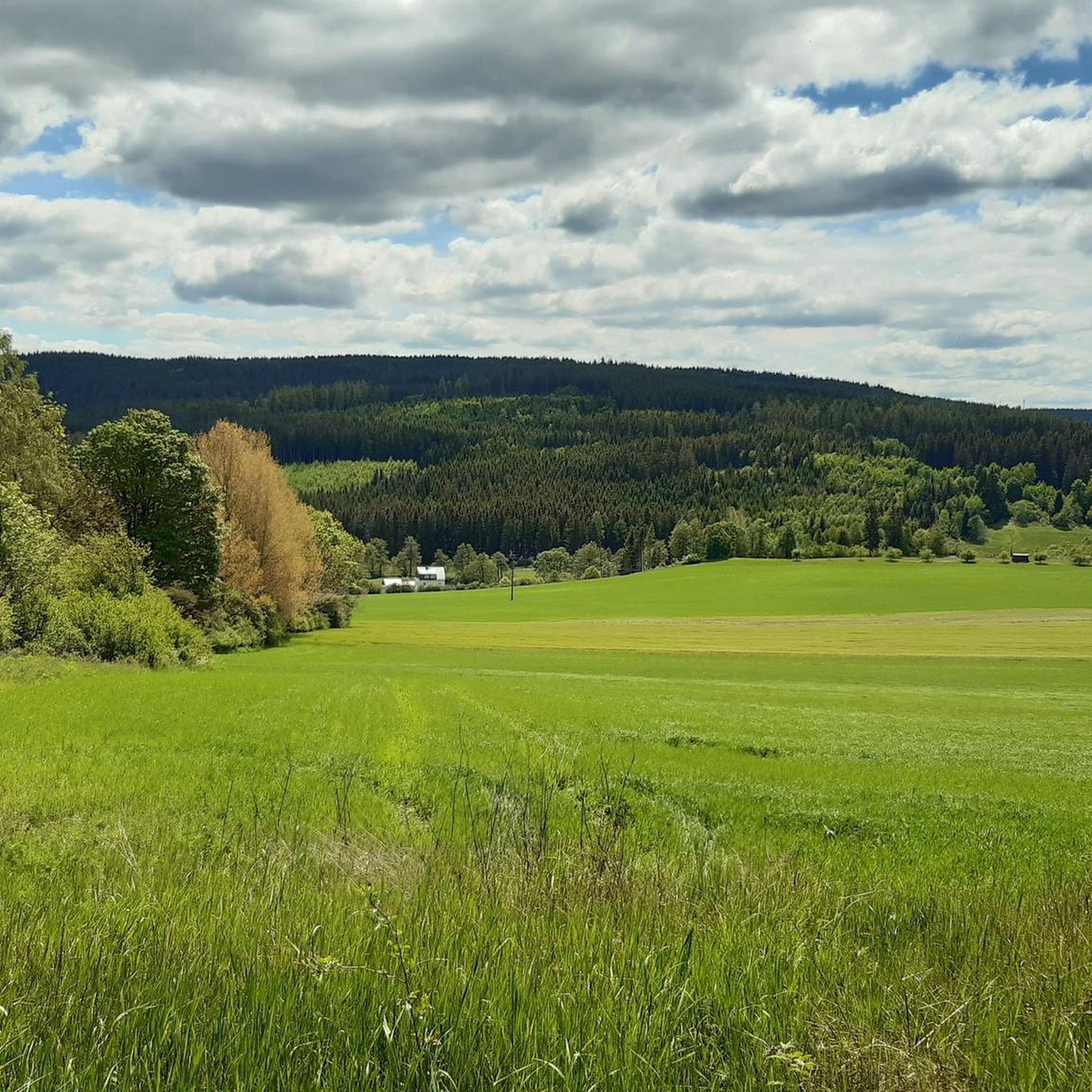
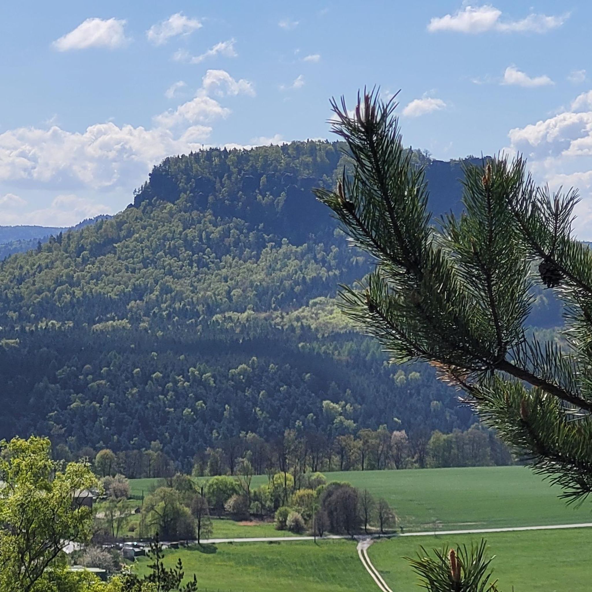
Hiking around Naila, situated within the Franconian Forest, features diverse landscapes characterized by dense spruce and beech forests, rolling hills, and idyllic river valleys. The region includes sections of the historic Green Belt, offering trails through unspoiled nature. Terrain varies from gently rolling paths to routes with significant elevation gain, providing options for different hiking preferences.
Best hiking trails around Naila
- The most popular hiking route is VGN Nature Park hike – mining and the devil in the Höllental,…
Last updated: October 12, 2026
4.8
(53)
126
hikers
18.1km
05:25
500m
430m
Hard hike. Very good fitness required. Mostly accessible paths. Sure-footedness required.
4.8
(232)
694
hikers
Moderate hike. Great for any fitness level. Mostly accessible paths. Sure-footedness required.

4.5
(72)
210
hikers
9.59km
02:40
170m
170m
Moderate hike. Good fitness required. Easily-accessible paths. Suitable for all skill levels.
4.6
(31)
194
hikers
11.1km
03:05
210m
210m
Moderate hike. Good fitness required. Easily-accessible paths. Suitable for all skill levels.
4.7
(38)
95
hikers
7.36km
02:11
160m
160m
Moderate hike. Good fitness required. Mostly accessible paths. Sure-footedness required.
Get access to more routes and recommendations from other explorers.
Already have an account?
Our route recommendations are based on thousands of hikes, rides, and runs completed by other people on komoot.
Start today with a free account
Your next adventure awaits.




Tips from the Community

Beautiful resting place on the Frankenwaldsteigla "Der Wilde Mann", newly laid out in 2025 by the Franconian Forest Association / Naila local group. This beautiful resting place was also created with the new hiking trail. From here you have a wonderful view over Naila (until the young trees have grown tall). The covered seating area invites you to rest and picnic.
0
0

New rest area with a beautiful view of Naila.
1
0

The Schäferstein near Rodesgrün is a striking, approximately 170x60 cm large boulder that marked the historical border between Froschgrün and Rodesgrün and bears inscriptions such as the year 1711.
1
0

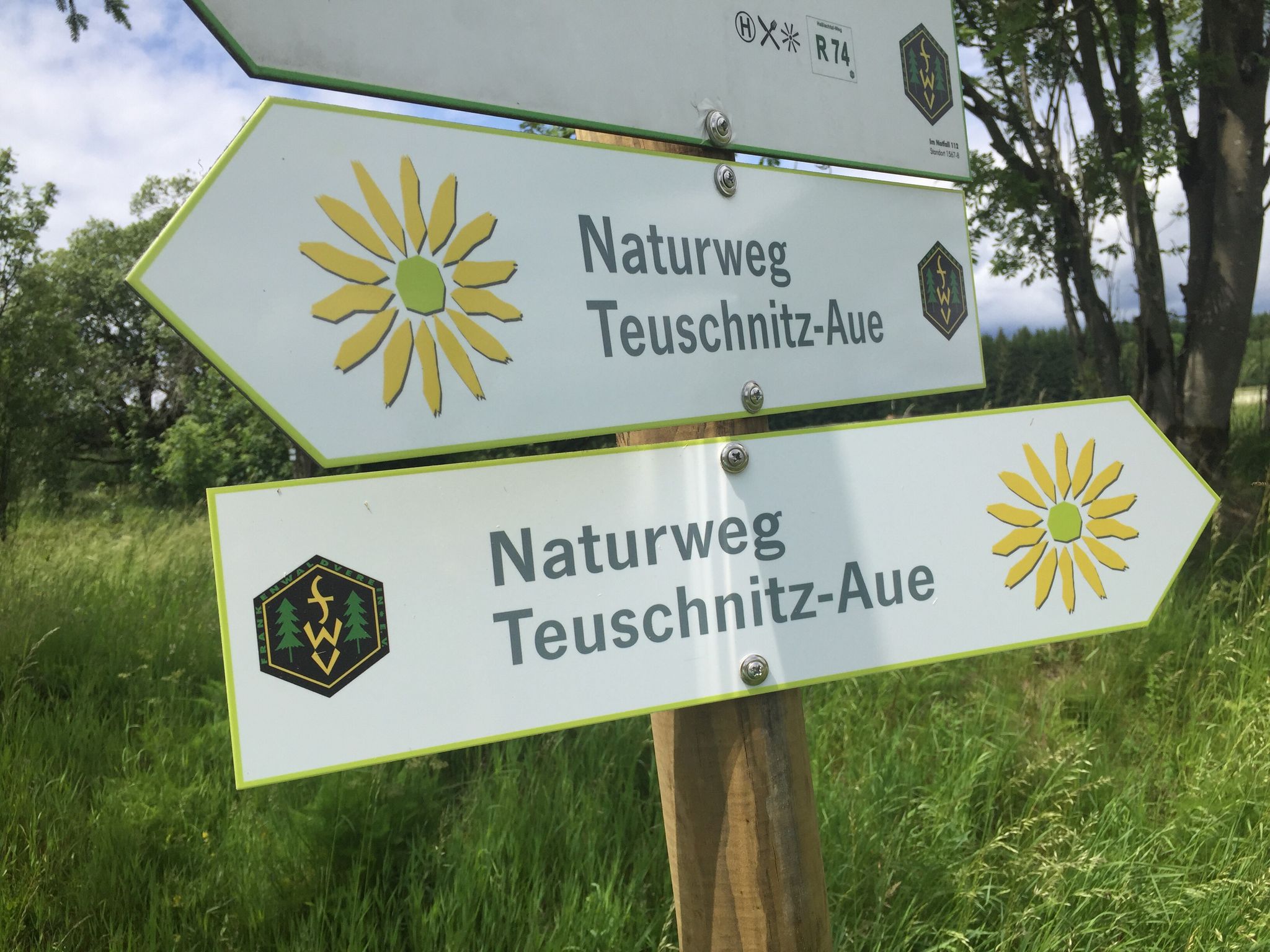
Wilder Mann is the starting point for the Frankenwaldsteig trail. Parking is still free here.
4
0
Next to the memorial stone is an information board. Dr. Köhl founded the FWV in 1989 from a section of the DAV. Thus, the FWV has a similar background to the neighboring FGV. He also founded a medical unit in Naila. A doctor and organizer with a penchant for volunteer work.
2
1

A very quaint river; it's hard to believe that a railway line once ran here.
1
0
At the end of the path is a water tower connected to a pipe. You basically walk around on it. Here's the information board.
0
0
you walk along the rocky path: great wild hiking trail over hill and dale, lots of views, lots of rock
0
0
Frequently Asked Questions
How many hiking trails are available around Naila?
There are over 200 hiking trails around Naila, offering a wide range of options for different skill levels and preferences. You'll find everything from easy strolls to more challenging routes through the Franconian Forest.
What kind of terrain can I expect on hikes near Naila?
The terrain around Naila is diverse, characterized by dense spruce and beech forests, rolling hills, and idyllic river valleys. You can expect paths that range from gently rolling sections to routes with more significant elevation gain, balancing accessibility with enough challenge. Trails often pass through thick forests and open meadows.
Are there any family-friendly hiking options in the Naila region?
Yes, Naila offers several family-friendly hiking options. Many trails feature gently rolling terrain and shorter distances suitable for all ages. The region's diverse landscapes, including forests and meadows, provide an engaging environment for families to explore together.
Can I bring my dog on the hiking trails around Naila?
Yes, many hiking trails around Naila are dog-friendly. The natural environment of the Franconian Forest, with its forests and open spaces, is generally welcoming for dogs. However, it's always recommended to keep your dog on a leash, especially in nature reserves or areas with wildlife, and to respect local regulations.
What are some notable natural features or landmarks to see while hiking near Naila?
Hikers can discover several interesting natural features and landmarks. The Döbraberg offers panoramic views, and the Prinz-Luitpold Tower on its summit provides breathtaking vistas. The Höllental Valley itself is a scenic highlight, featuring the Selbitz River and unique bridges like the Jungfernsteg and Teufelssteg. You can also find a mineral spring in the village of Hölle, offering natural mineral water.
Are there any circular hiking routes available?
Yes, Naila offers numerous circular hiking routes. For example, the Rock Path Höllental – Teufelssteg — Across the Selbitz loop from Lichtenberg is a popular moderate circular path that allows you to experience the scenic river valley. Another option is the Eulenburg Hill (678 m) – View of Döbra loop from Lippertsgrün, which leads through forested hills.
What is the best time of year to go hiking in Naila?
The best time for hiking in Naila is generally from spring to autumn. During these seasons, temperatures are pleasant, and nature is in full bloom or displaying vibrant autumn colors, making for a very enjoyable hiking experience. While winter hikes are possible, some trails might be challenging due to snow or ice.
How challenging are the hiking trails around Naila?
The hiking trails around Naila cater to various difficulty levels. You'll find easy walks suitable for beginners or families, moderate routes that offer a good workout, and some more difficult trails with significant elevation gain, such as the VGN Nature Park hike – mining and the devil in the Höllental. The region's diverse landscape ensures there's a suitable challenge for most hikers.
What do other hikers enjoy most about the trails in Naila?
The hiking routes in Naila are highly rated by the komoot community, with an average score of 4.6 stars from over 800 reviews. Hikers often praise the region's diverse natural beauty, from dense forests and rolling hills to idyllic river valleys like the Höllental, and the well-maintained paths that offer varied experiences.
Are there any historical routes or areas to explore near Naila?
Yes, a significant route in the Naila area leads along the Green Belt (Grünes Band). This former border strip between Bavaria and Thuringia allows hikers to experience unspoiled nature while walking through a historically significant area, offering a unique blend of natural beauty and historical context.
Are there any places to eat or stay near the hiking trails in Naila?
Naila and its surrounding villages offer various options for refreshments and accommodation. You can find cafes, pubs, and restaurants to refuel after a hike. For overnight stays, there are guesthouses and hotels available. Additionally, some trails might have huts or rest areas, such as the Mountain Rescue Hut and Rest Area below Döbraberg, for a quick break.
Is public transport available to reach hiking trailheads in Naila?
While specific public transport connections to every trailhead can vary, Naila itself is accessible by public transport. From the town, local bus services might connect to some of the more popular starting points for hikes. It's advisable to check local bus schedules for the most up-to-date information on reaching specific trailheads.
Most popular routes around Naila
Most popular attractions around Naila

Get inspired with the komoot mobile app


Explore more
Browse the best Hikes in other regions.
