The best walks and hikes around Münichreith-Laimbach
4.6
(591)
3,373
hikers
36
hikes
Hiking around Münichreith-Laimbach offers diverse terrain at the foot of the Ostrong Massif, within Austria's Melk district. The region features a mix of lush forests, rolling hills, and prominent peaks like the Großer Peilstein and Kleiner Peilstein. Trails often include forest paths, gravel roads, and some asphalted sections, providing varied scenery. Natural features such as the Laimbach Waterfall and the Kollnitzberg observation tower add to the hiking experience.
Best hiking trails around Münichreith-Laimbach
- The most popular hiking route is Großer…
Last updated: July 2, 2026
4.7
(56)
249
hikers
Moderate hike. Good fitness required. Easily-accessible paths. Suitable for all skill levels.
4.7
(43)
216
hikers
16.3km
05:37
830m
830m
Hard hike. Very good fitness required. Easily-accessible paths. Suitable for all skill levels.

Sign up for free
4.7
(22)
143
hikers
Moderate hike. Good fitness required. Easily-accessible paths. Suitable for all skill levels.
4.9
(9)
65
hikers
Moderate hike. Good fitness required. Easily-accessible paths. Suitable for all skill levels.
5.0
(2)
12
hikers
Hard hike. Very good fitness required. Easily-accessible paths. Suitable for all skill levels.
Get access to more routes and recommendations from other explorers.
Sign up for free
Already have an account?
Our route recommendations are based on thousands of hikes, rides, and runs completed by other people on komoot.
Start today with a free account
Your next adventure awaits.
Login or Signup
Popular around Münichreith-Laimbach
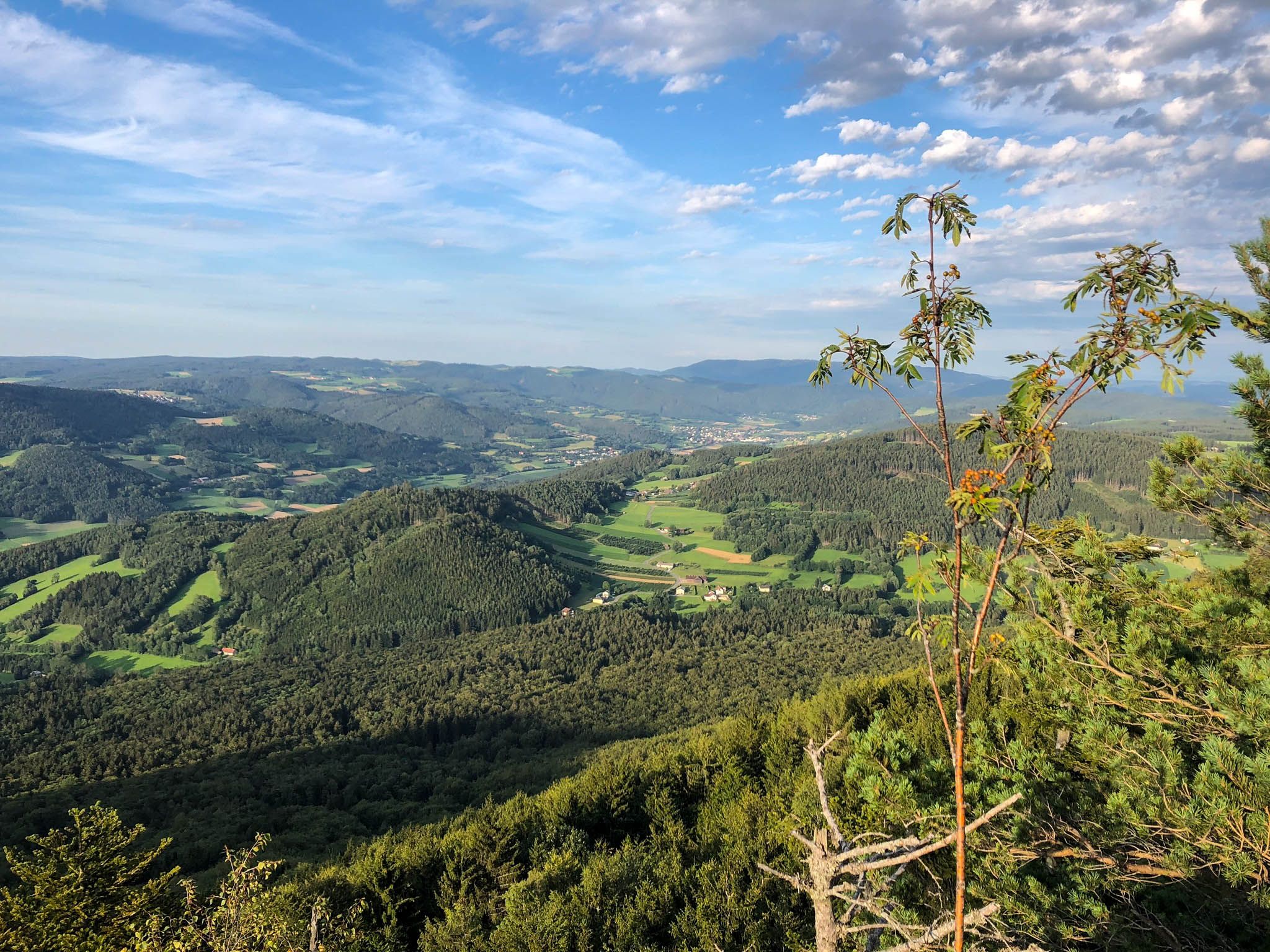
Ysper-Weitental circular hiking trail – Unwind in Austria
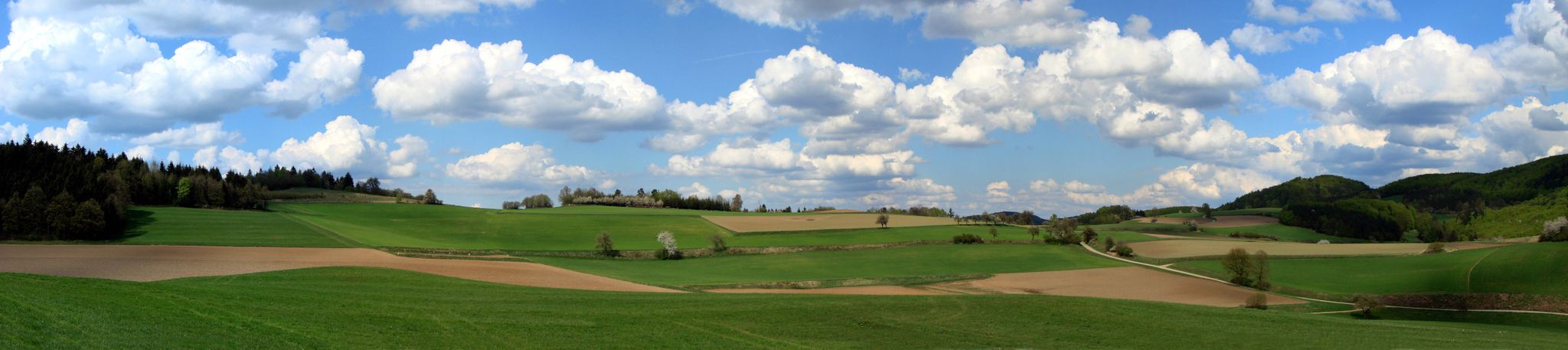
The Path of Life — A (spiritual) hike through northeastern Austria

Eisenwurzen Trail – Hiking through Austria from north to south
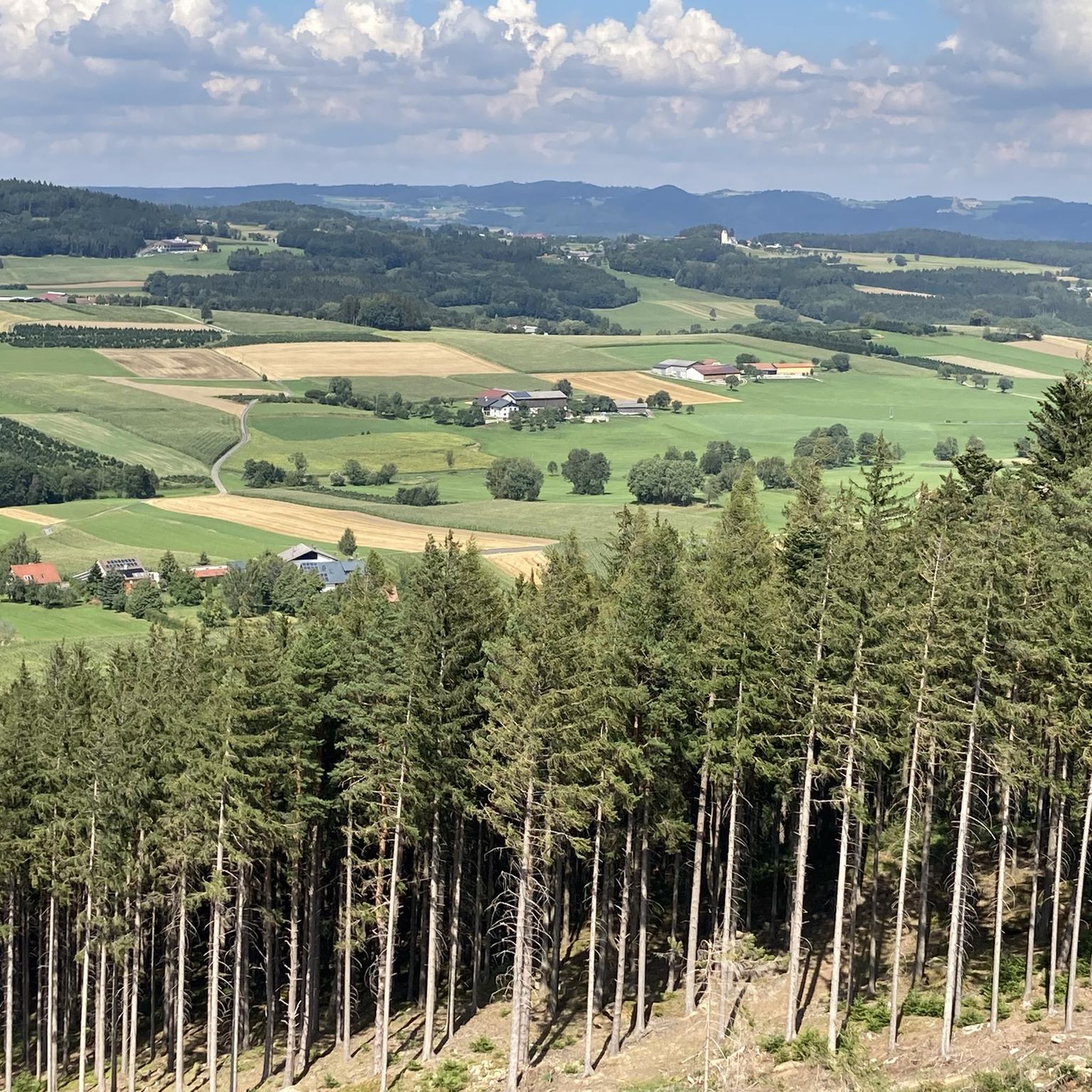
Cycling around Münichreith-Laimbach
Road Cycling Routes around Münichreith-Laimbach
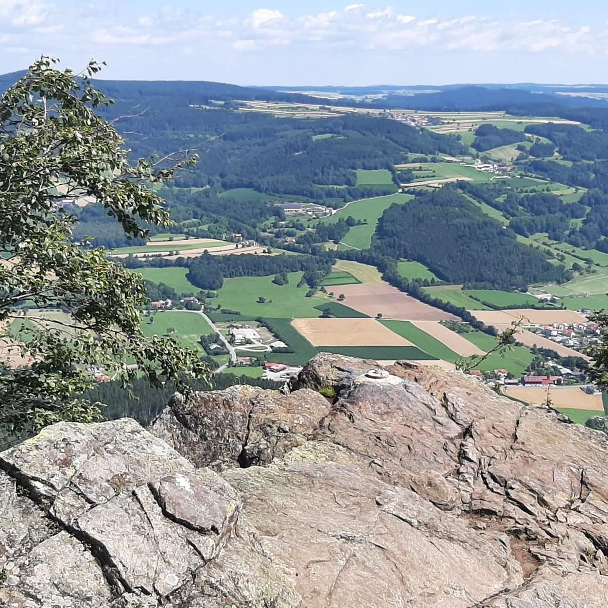
Running Trails around Münichreith-Laimbach
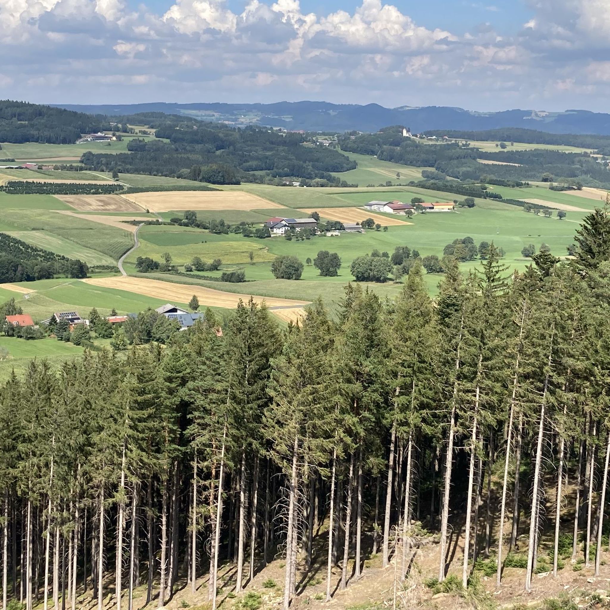
MTB Trails around Münichreith-Laimbach
Other adventures around Münichreith-Laimbach


Tips from the Community

just before the Kaiserstei, looks rather mystical...
0
0

An interesting place that appears to be the starting point for future apocalyptic changes in the region. Be sure to read the legend of the fish in the Ostrong.
0
0

Why would anyone recommend a mountain bike ride when cycling is prohibited throughout the forest is beyond me.
2
1

The small Peilstein is also a big highlight!
0
1
What can you find here? You can only discover this while hiking!
0
0
The entire Ostrong is a hiking dream with many big and small highlights!
2
0
A steep but fine path in beautiful nature and a great view at the top!
2
0
Such a beautiful area, highly recommended to all hikers and those who want to become hikers!
1
0
Frequently Asked Questions
How many hiking trails are available in Münichreith-Laimbach?
Münichreith-Laimbach offers a diverse network of over 35 hiking trails. These range from easy strolls through forests to challenging mountain ascents, catering to various fitness levels.
What kind of terrain can I expect on hikes around Münichreith-Laimbach?
The region boasts varied terrain, including lush forest paths, gravel roads, and some asphalted sections. You'll encounter a rich tapestry of woodland and open fields, with trails often leading through rolling hills and up to prominent peaks within the Ostrong Massif.
Are there easy hiking trails suitable for beginners or families in Münichreith-Laimbach?
Yes, there are 7 easy hiking routes in the area, perfect for beginners or families. These trails often feature well-marked paths and offer a relaxed way to experience the natural beauty of Münichreith-Laimbach. For example, the path leading to the Laimbach Waterfall is known to be family-friendly.
Are there challenging hikes for experienced hikers in Münichreith-Laimbach?
Absolutely. For experienced hikers, there are 5 difficult routes available. These often involve significant elevation gain and lead to summits like the Großer Peilstein. A challenging option is the Großer Peilstein Summit – Nathaus Peilstein loop from Laimbach am Ostrong, which covers over 16 km with substantial ascent.
What natural landmarks or viewpoints can I discover along the trails?
Hikers can explore several notable natural landmarks and enjoy stunning viewpoints. Highlights include the impressive Großer Peilstein Summit, the scenic Katzenstein Summit, and the Kollnitzberg, which features an observation tower offering panoramic views stretching to the Voralpen, Rax, and Schneeberg mountains. The Laimbach Waterfall is another captivating natural attraction.
Are there any circular hiking routes in Münichreith-Laimbach?
Yes, many trails in Münichreith-Laimbach are circular, offering convenient starting and ending points. The Kleiner Peilstein Summit Cross – Nathaus Peilstein loop from Laimbach am Ostrong is a popular circular route through forested areas. The Kogelberg Circular Trail is also known for its beautiful panoramic views and historical sites.
What is the best time of year for hiking in Münichreith-Laimbach?
Spring and autumn are considered the ideal times for hiking in Münichreith-Laimbach. During these seasons, the weather is mild, and nature showcases its full splendor; spring brings flowering meadows, while autumn transforms the landscape with colorful foliage, creating picturesque scenery.
Are there any hikes that feature waterfalls?
Yes, the Laimbach Waterfall is a prominent natural attraction in the region. There are well-marked and family-friendly paths that lead directly to this impressive waterfall, offering a captivating backdrop for a leisurely walk.
What do other hikers enjoy most about the trails in Münichreith-Laimbach?
The trails in Münichreith-Laimbach are highly rated by the komoot community, with an average score of 4.6 stars from over 500 reviews. Hikers often praise the diverse terrain, the lush woodlands, and the rewarding views from summits like the Großer Peilstein. The well-maintained and signposted paths are also frequently highlighted.
Can I find routes that offer an alpine experience?
Yes, the Kleiner Peilstein is noted for offering an alpine experience, particularly with easy climbing on its summit rock. While not high alpine, it provides a taste of more rugged terrain and rewarding views for those seeking a slightly more adventurous hike.
Are there any routes that pass by historical sites?
Yes, the Kogelberg Circular Trail, for instance, not only offers beautiful panoramic views but also passes by historical sites, such as a 17th-century chapel, adding a cultural dimension to your hike.
What is the highest point I can reach on a hike in the region?
You can ascend to the summit of the Großer Peilstein, which is the highest point in the Melk district at an altitude of 1061m. This offers excellent views of the Ysper and Weitenbach valleys.
Most popular routes around Münichreith-Laimbach
Most popular attractions around Münichreith-Laimbach

Get inspired with the komoot mobile app


Explore more
Browse the best Hikes in other regions.
