The best hikes from bus stations around Münichreith-Laimbach
4.6
(591)
3,369
hikers
25
hikes
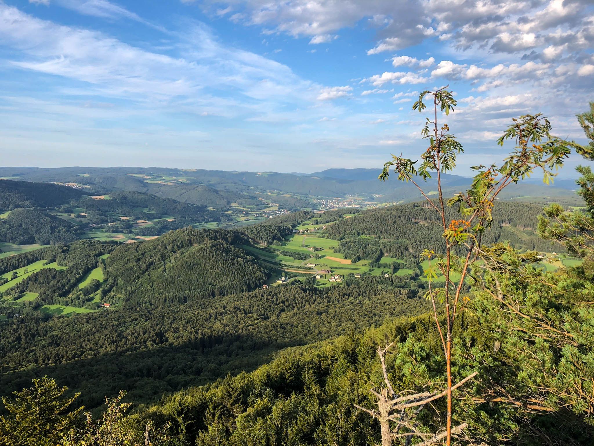
Bus station hiking trails around Münichreith-Laimbach offer access to a diverse landscape at the foot of the Ostrong Massif. The region features dense woodlands, rolling hills, and prominent peaks such as Großer Peilstein and Kleiner Peilstein. Hikers can explore varied terrain, including forest paths, gravel roads, and some asphalted sections. This area provides a range of experiences for different hiking levels.
Best bus station hiking trails around Münichreith-Laimbach
- The most popular bus station hiking route is Großer Peilstein Summit –…
Last updated: July 10, 2026
4.7
(43)
216
hikers
16.3km
05:37
830m
830m
Hard hike. Very good fitness required. Easily-accessible paths. Suitable for all skill levels.
4.7
(22)
143
hikers
Moderate hike. Good fitness required. Easily-accessible paths. Suitable for all skill levels.

Sign up for free
5.0
(2)
12
hikers
Hard hike. Very good fitness required. Easily-accessible paths. Suitable for all skill levels.
5.0
(2)
10
hikers
Moderate hike. Good fitness required. Easily-accessible paths. Suitable for all skill levels.
4.3
(6)
8
hikers
Moderate hike. Good fitness required. Easily-accessible paths. Suitable for all skill levels.
Get access to more routes and recommendations from other explorers.
Sign up for free
Already have an account?
Our route recommendations are based on thousands of hikes, rides, and runs completed by other people on komoot.
Start today with a free account
Your next adventure awaits.
Login or Signup

Other adventures around Münichreith-Laimbach


Tips from the Community

The cannon roundabout of Pöggstall Castle was built around 1530 as an outlying defensive structure and served to defend the castle. The round fortress tower, with its mighty walls and loopholes, was part of the former moated castle complex. Today, the roundabout is considered one of the most impressive late medieval defensive structures in Lower Austria.
0
0
Fish ponds around the castle. A walk is worthwhile.
0
0
The parish church of St. Anna in Pöggstall is a late Gothic hall church, built around 1480 as a castle and burial church for the Lords of Rogendorf. Its interior features a two-aisled net-ribbed vault, a magnificent winged altarpiece with a Crucifixion group, and Gothic frescoes. The neo-Gothic tower was added in the 19th century; today, the church is one of the most important religious buildings in the southern Waldviertel region.
0
0
A fascinating castle with an exhibition included in the Lower Austria Card. Food and drinks are available.
0
0

just before the Kaiserstei, looks rather mystical...
0
0

An interesting place that appears to be the starting point for future apocalyptic changes in the region. Be sure to read the legend of the fish in the Ostrong.
0
0

Why would anyone recommend a mountain bike ride when cycling is prohibited throughout the forest is beyond me.
2
1

Rest in a pub or visit an exhibition!
0
0
Frequently Asked Questions
How many bus-accessible hiking trails are available in Münichreith-Laimbach?
Münichreith-Laimbach offers a wide selection of bus-accessible hiking trails, with over 25 routes available. These range from easy strolls to more challenging mountain ascents, ensuring there's something for every hiker.
What is the best time of year to go hiking from bus stations in Münichreith-Laimbach?
The best seasons for hiking in Münichreith-Laimbach are spring and autumn. During these times, the weather is mild, and nature is particularly vibrant, with blooming meadows in spring and colorful foliage in autumn. The trails are generally well-maintained and offer pleasant conditions for exploration.
Are there easy bus-accessible hiking trails suitable for beginners or families?
Yes, Münichreith-Laimbach has several easy bus-accessible trails perfect for beginners and families. For example, the Kaiserstein (935 m) – Wooden Forest Fountain Wasserbründl loop from Münichreith is a moderate option that is not overly strenuous. The region also features the Kollnitzberg circular hiking trail, which is an easy route to the observation tower, suitable for families.
Can I find challenging bus-accessible hikes in Münichreith-Laimbach?
Absolutely. For experienced hikers seeking a challenge, routes like the Großer Peilstein Summit – Nathaus Peilstein loop from Laimbach am Ostrong offer significant elevation gain and a longer distance. Another demanding option is the Kleiner Peilstein Summit Cross – Großer Peilstein Summit loop from Laimbach am Ostrong, which combines two prominent peaks.
Are there any bus-accessible circular hiking routes in the region?
Yes, many of the bus-accessible trails in Münichreith-Laimbach are circular, allowing you to start and end at the same point, often near a bus stop. The Kleiner Peilstein Summit Cross – Nathaus Peilstein loop from Laimbach am Ostrong is a great example of a circular route that takes you through forested areas.
What natural features or viewpoints can I expect to see on bus-accessible hikes?
The region is rich in natural beauty and offers several impressive viewpoints. You can hike to the Kollnitzberg observation tower for magnificent panoramic views stretching from the foothills of the Alps to the Rax and Schneeberg mountains. The Großer Peilstein Summit also provides extensive views of the Ysper and Weitenbach valleys. The Katzenstein Summit is another rewarding spot for scenic vistas.
Are there any waterfalls accessible from bus stops in Münichreith-Laimbach?
Yes, the impressive Laimbach Waterfall is a notable natural feature in the region. While not directly on a bus route, it's often incorporated into local hiking paths, providing a picturesque backdrop for a relaxing walk. You can find trails that lead to or near this beautiful spot.
What do other hikers say about the bus-accessible trails in Münichreith-Laimbach?
The bus-accessible hiking trails in Münichreith-Laimbach are highly rated by the komoot community, with an average score of 4.59 stars. Reviewers often praise the diverse terrain, the well-maintained paths, and the stunning views from peaks like the Peilstein summits. Many appreciate the convenience of accessing these natural wonders via public transport.
Are there any historical landmarks or attractions along the bus-accessible routes?
Yes, some routes pass by interesting historical sites. For instance, the Parish Church of Laimbach – Pöggstall Castle loop from Laimbach am Ostrong takes you past the historic Parish Church and towards Pöggstall Castle. Additionally, a circular trail around the "Kogelberg" offers beautiful views and passes an old 17th-century chapel.
What kind of terrain can I expect on bus-accessible hikes in Münichreith-Laimbach?
The terrain on bus-accessible hikes in Münichreith-Laimbach is quite varied. You can expect a blend of lush forests, rolling hills, and prominent peaks. Trails often incorporate forest paths, gravel roads, and some asphalted sections, providing diverse scenery and walking surfaces. The Ostrong Massif defines much of the hiking landscape, featuring dense woodlands and undulating hills.
Most popular routes around Münichreith-Laimbach
Most popular attractions around Münichreith-Laimbach

Get inspired with the komoot mobile app


Explore more
Browse the best Hikes in other regions.
