The best hikes from bus stations in Sierra Espuña
4.5
(1191)
4,707
hikers
5
hikes
Hiking in Sierra Espuña features diverse natural landscapes, including reforested pine forests, mountainous terrain, and distinctive badlands. The regional park's topography ranges from an average altitude of 800 meters to peaks reaching up to 1,583 meters. This varied relief, shaped by natural erosion, creates imposing landscapes with features like the Barrancos de Gebas and the Paredes de Leyva. The area offers a network of well-maintained trails that showcase its natural beauty and historical elements.
Best bus station hiking trails in Sierra Espuña
- The most popular bus station hiking route is The viewpoint of the Algeciras Reservoir — Circular from Alhama de Murcia, a 9.2 miles (14.8 km) trail that takes 4 hours 23 minutes to complete. This moderate route offers views of the Algeciras Reservoir and surrounding hills.
- Another top favourite among local hikers is Castle of Alhama de Murcia – Scenic area near Gebas loop from Alhama de Murcia, a moderate 9.6 miles (15.4 km) path. This trail explores historical sites and the unique badlands terrain.
- Local hikers also love the Mirador del Rallerico loop from Totana, a 7.8 miles (12.5 km) trail leading through mountainous terrain, often completed in about 3 hours 28 minutes.
- Hiking in Sierra Espuña is defined by reforested pine forests, mountainous terrain, and distinctive badlands. The network offers options for different ability levels, from moderate paths to more difficult ascents.
- The routes in Sierra Espuña are highly rated by the komoot community with an average score of 4.5 stars from more than 1,100 reviews. More than 4,700 hikers have used komoot to explore Sierra Espuña's varied terrain.
Last updated: August 30, 2026
4.4
(5)
25
hikers
14.8km
04:23
430m
430m
Moderate hike. Good fitness required. Easily-accessible paths. Suitable for all skill levels.
4
hikers
Moderate hike. Good fitness required. Easily-accessible paths. Suitable for all skill levels.

Sign up for free
4
hikers
12.5km
03:29
230m
230m
Moderate hike. Good fitness required. Easily-accessible paths. Suitable for all skill levels.
5
hikers
20.2km
05:44
440m
440m
Hard hike. Very good fitness required. Easily-accessible paths. Suitable for all skill levels.
2
hikers
14.8km
03:59
180m
180m
Moderate hike. Good fitness required. Easily-accessible paths. Suitable for all skill levels.
Our route recommendations are based on thousands of hikes, rides, and runs completed by other people on komoot.
Start today with a free account
Your next adventure awaits.
Login or Signup


Tips from the Community

Impressive!
1
1

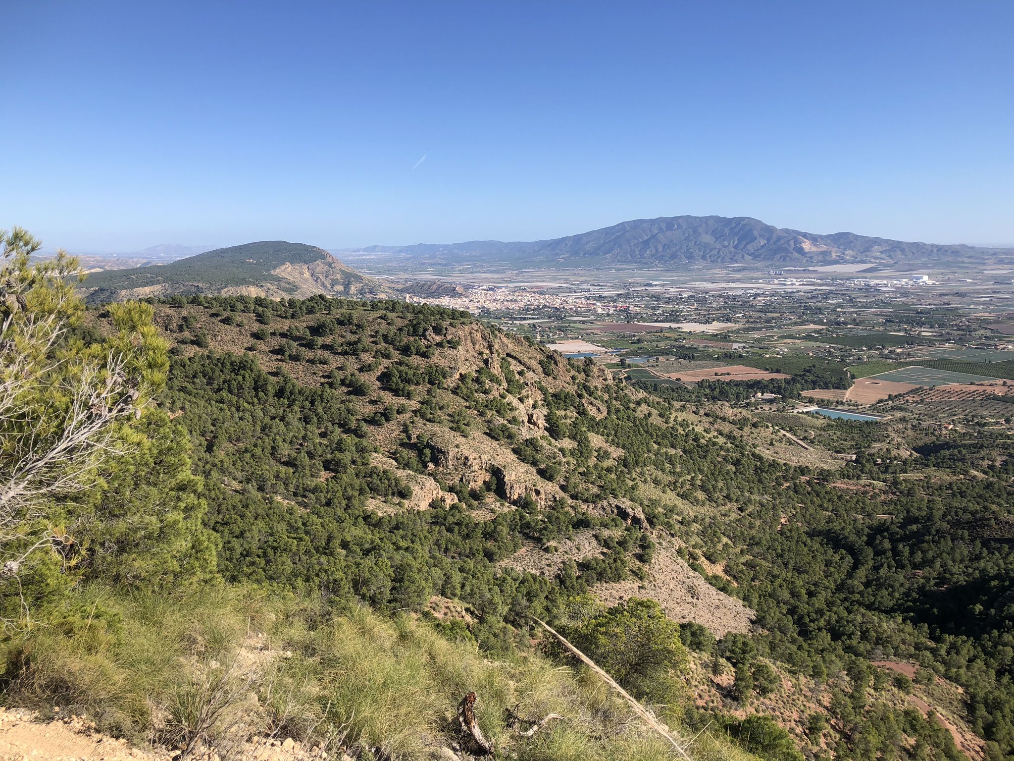
So beautiful: The Rambla de Algeciras reservoir is a crucial water reservoir in the Region of Murcia, Spain. It was built for flood control (of the Segura River), water storage, and irrigation regulation. The area offers many hiking and cycling opportunities and offers views of the nearby Barrancos de Gebas.
5
1


along the canal, paved path. Several hikes are possible around the area.
1
1

The Monument to the Heart of Jesus located at the top of the Mirador
0
1

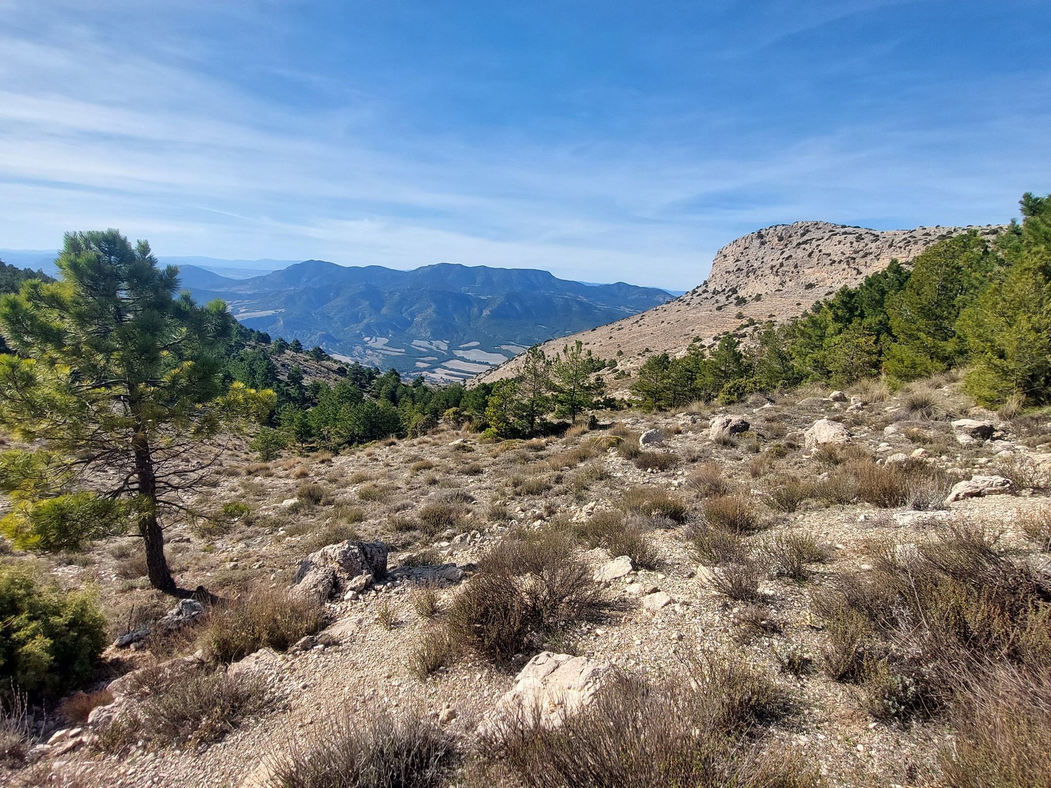
The Mirador del Embalse de la Rambla de Algeciras is an observation point that offers stunning panoramic views of the reservoir and its surroundings. From this viewing point, visitors can enjoy the natural beauty of the region, including the waters of the reservoir and the mountainous landscape that surrounds it. It is an ideal place for nature and photography lovers, as it provides an excellent opportunity to capture the serenity and majesty of the surroundings. In addition, it is a good starting point for hiking and exploring the area.
7
0
A very beautiful and entertaining path that you will not forget, but it has a section with a climb so it is not suitable for everyone, this must be taken into account.
0
1
Frequently Asked Questions
How many bus-accessible hiking trails are featured in this guide for Sierra Espuña?
This guide highlights 5 hiking routes in Sierra Espuña that are conveniently accessible by bus, offering a variety of experiences for different skill levels.
What kind of terrain can I expect on bus-accessible hikes in Sierra Espuña?
The bus-accessible trails in Sierra Espuña traverse a diverse landscape, from reforested pine forests to mountainous terrain and unique badlands. You can expect varied paths, including some with significant elevation changes, offering a true taste of the region's natural beauty.
Are there any easy or beginner-friendly routes accessible by bus in Sierra Espuña?
While this guide features mostly moderate routes, the region offers trails with varying difficulty. For example, the Plaza de la Balsa Vieja loop from Totana is a moderate hike with a relatively lower elevation gain compared to others, making it a good option for those looking for a less strenuous experience after a bus journey.
Can I find circular hiking routes starting directly from a bus station in Sierra Espuña?
Yes, several routes in this guide are circular and start from towns with bus access. For instance, the The viewpoint of the Algeciras Reservoir — Circular from Alhama de Murcia and the Mirador del Rallerico loop from Totana are excellent circular options that begin and end in bus-accessible locations.
What are some notable natural features or landmarks I might encounter on these bus-accessible trails?
Many trails offer stunning views and access to unique natural features. You might see the dramatic landscapes of the Barrancos de Gebas, impressive cliff faces like Paredes de Leyva, or the historic Pozos de Nieve (snow pits). Specific highlights include Collado Bermejo and various gorges such as Barranco de los Ballesteros.
Are the bus-accessible trails in Sierra Espuña suitable for families with children?
The trails in this guide are generally rated moderate to difficult, which might be challenging for very young children. However, families with older, experienced children who are used to hiking could enjoy routes like the Mirador del Rallerico loop from Totana, which offers rewarding views without extreme difficulty.
Can I bring my dog on the hiking trails accessible by bus in Sierra Espuña?
Sierra Espuña is generally dog-friendly, but it's always recommended to keep dogs on a leash to protect wildlife and ensure their safety, especially in a regional park. Always check local regulations for specific trails or protected areas within the park before you go.
What is the best time of year to hike these bus-accessible trails in Sierra Espuña?
Spring (March to May) and autumn (September to November) are ideal for hiking in Sierra Espuña. The temperatures are milder, and the natural scenery is vibrant. Summer can be very hot, especially at lower altitudes, while winter can bring colder temperatures and occasional snow at higher elevations.
What do other hikers say about the bus-accessible trails in Sierra Espuña?
The trails in Sierra Espuña are highly rated by the komoot community, with an average score of 4.5 stars. Reviewers often praise the diverse landscapes, well-maintained paths, and the stunning panoramic views, especially from viewpoints like Mountain Views.
Are there any cafes or places to eat near the bus stations where these hikes begin?
The routes in this guide start from towns like Alhama de Murcia and Totana, which are well-equipped with amenities. You'll find various cafes, restaurants, and shops in these towns where you can grab a meal or supplies before or after your hike.
Are there any challenging bus-accessible hikes for experienced hikers?
Yes, for experienced hikers seeking a challenge, the Plaza de la Balsa Vieja – Hermitage of Santa Eulalia loop from Totana is rated as difficult. This route covers over 20 km and features significant elevation gain, providing a demanding and rewarding experience.
What are the elevation gains like on these bus-accessible routes?
The elevation gains on these routes vary, ranging from approximately 178 meters on the Plaza de la Balsa Vieja loop from Totana to over 450 meters on routes like the Castle of Alhama de Murcia – Scenic area near Gebas loop from Alhama de Murcia. This variety allows hikers to choose a route that matches their desired physical challenge.
Most popular routes in Sierra Espuña
Most popular attractions in Sierra Espuña

Get inspired with the komoot mobile app


Explore more
Browse the best Hikes in other regions.
