The best city hikes and walks around Parco Nazionale dello Stelvio
4.6
(39351)
219,826
hikers
6
hikes
Urban hiking trails around Parco Nazionale dello Stelvio offer a blend of natural beauty and local town exploration within the broader context of one of Italy's largest national parks. The region features diverse landscapes, from lower valleys with forests to high mountain areas, with the Adige River flowing through some of the surrounding towns. These urban routes provide accessible paths through local settlements and their immediate natural surroundings. The park's varied terrain includes glacial formations, mountain streams, and rich ecosystems, even in areas adjacent to towns.
Best urban hiking trails around Parco Nazionale dello Stelvio
- The most popular urban hiking route is Schlanders train station – Hotel Golden Rose Schlanders loop from Schlanders - Silandro, a 1.4 miles (2.3 km) trail that takes 36 minutes to complete. This easy route explores the town of Schlanders, connecting key local points.
- Another top favourite among local hikers is Bridge over the Adige River – The Adige at Goldrain loop from Goldrain - Coldrano, an easy 1.7 miles (2.8 km) path. This trail offers views of the Adige River and the surrounding landscape near Goldrain.
- Local hikers also love the Schlanders Fountain – Vogelsang Campsite loop from Schlanders - Silandro, a 1.0 mile (1.6 km) trail leading through urban and semi-urban areas, often completed in about 25 minutes.
- Hiking around Parco Nazionale dello Stelvio is defined by its valleys, forests, and mountain streams, even in areas close to towns. The network offers options for different ability levels, with many easy urban trails available.
- The routes in Parco Nazionale dello Stelvio are highly rated by the komoot community with an average score of 4.6 stars from over 38,000 reviews. More than 214,000 hikers have used komoot to explore Parco Nazionale dello Stelvio's varied terrain.
Last updated: July 15, 2026
5.0
(1)
11
hikers
Easy hike. Great for any fitness level. Easily-accessible paths. Suitable for all skill levels.
5.0
(1)
10
hikers
Easy hike. Great for any fitness level. Easily-accessible paths. Suitable for all skill levels.

Sign up for free
5
hikers
Easy hike. Great for any fitness level. Easily-accessible paths. Suitable for all skill levels.
2
hikers
Easy hike. Great for any fitness level. Easily-accessible paths. Suitable for all skill levels.
3
hikers
Easy hike. Great for any fitness level. Easily-accessible paths. Suitable for all skill levels.
Our route recommendations are based on thousands of hikes, rides, and runs completed by other people on komoot.
Start today with a free account
Your next adventure awaits.
Login or Signup
Popular around Parco Nazionale dello Stelvio

L1 from Garmisch to Brescia – Far from the classic Alpine crossings
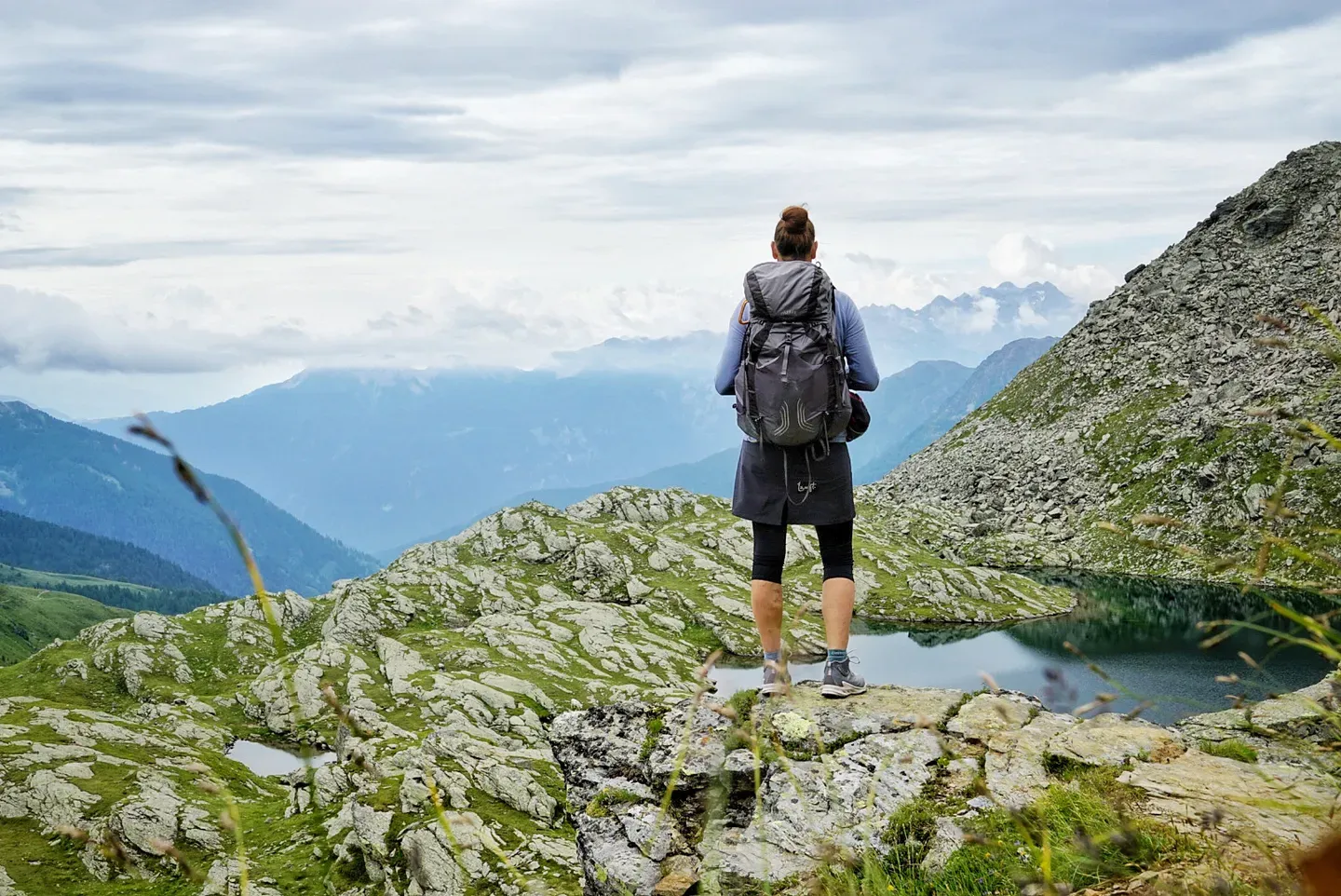
Hut trekking through Stelvio National Park – four days in Val di Sole
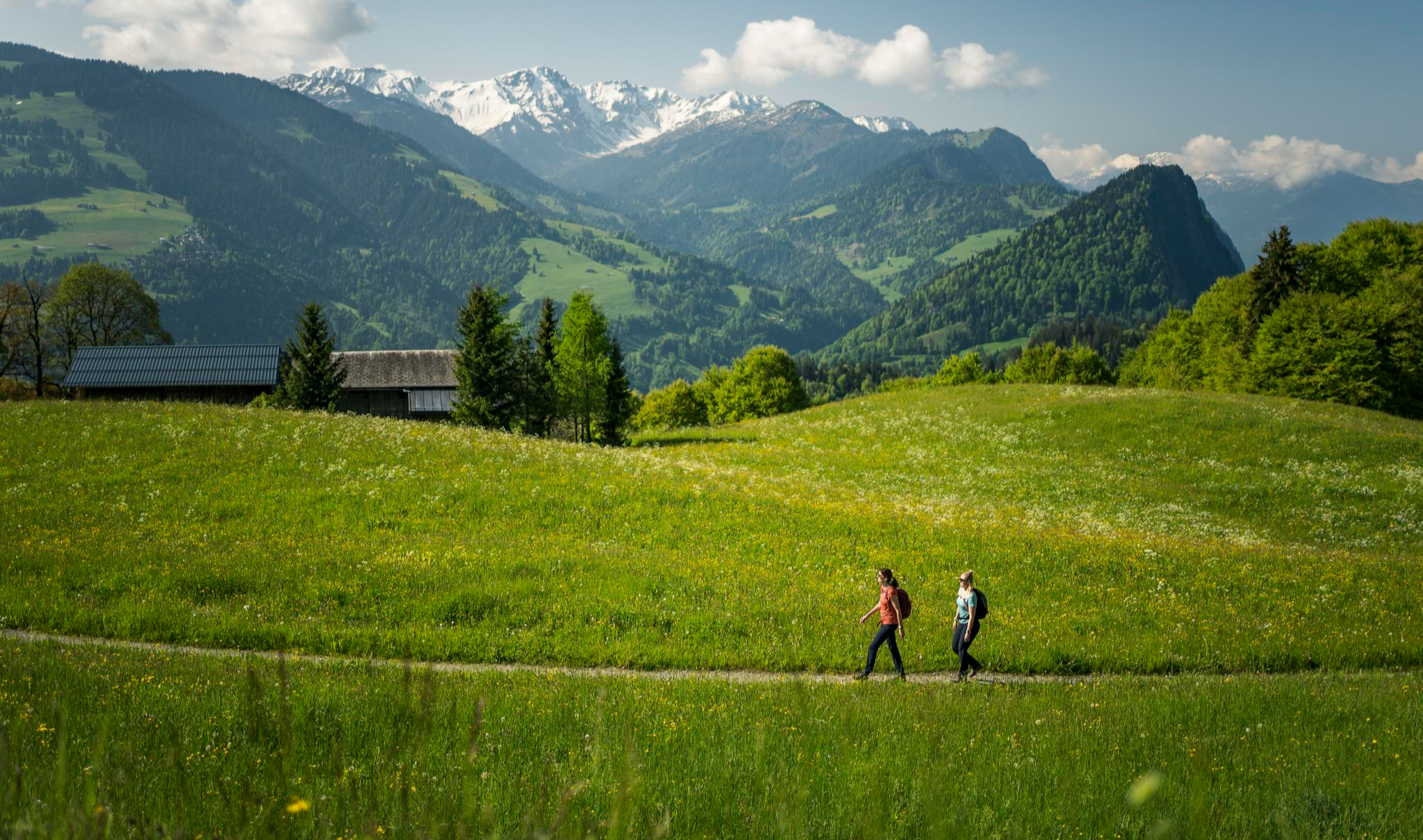
Hiking with respect and tolerance – it just makes sense!
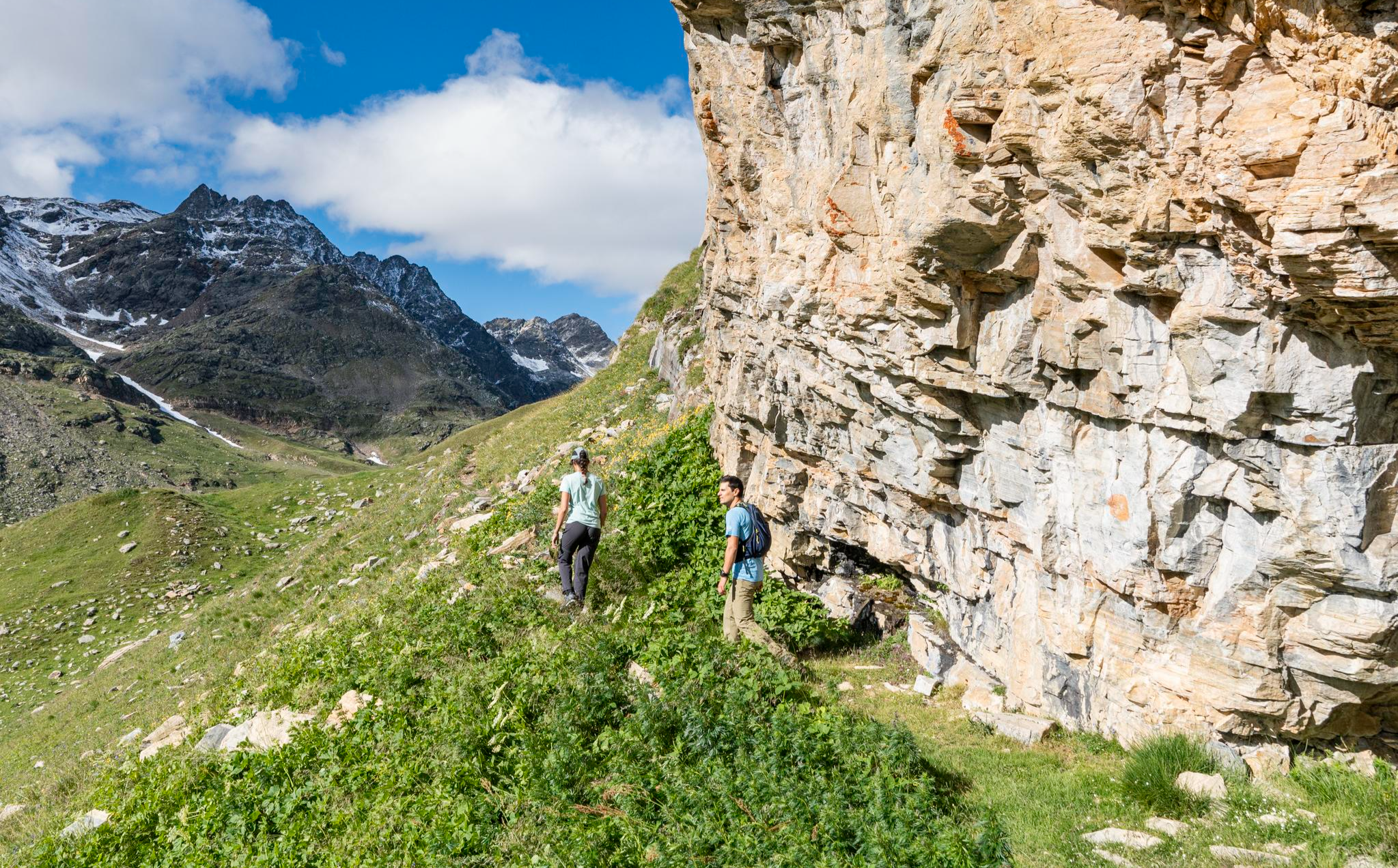
Stelvio Historical Trek – on the trail of the Great War in Bormio
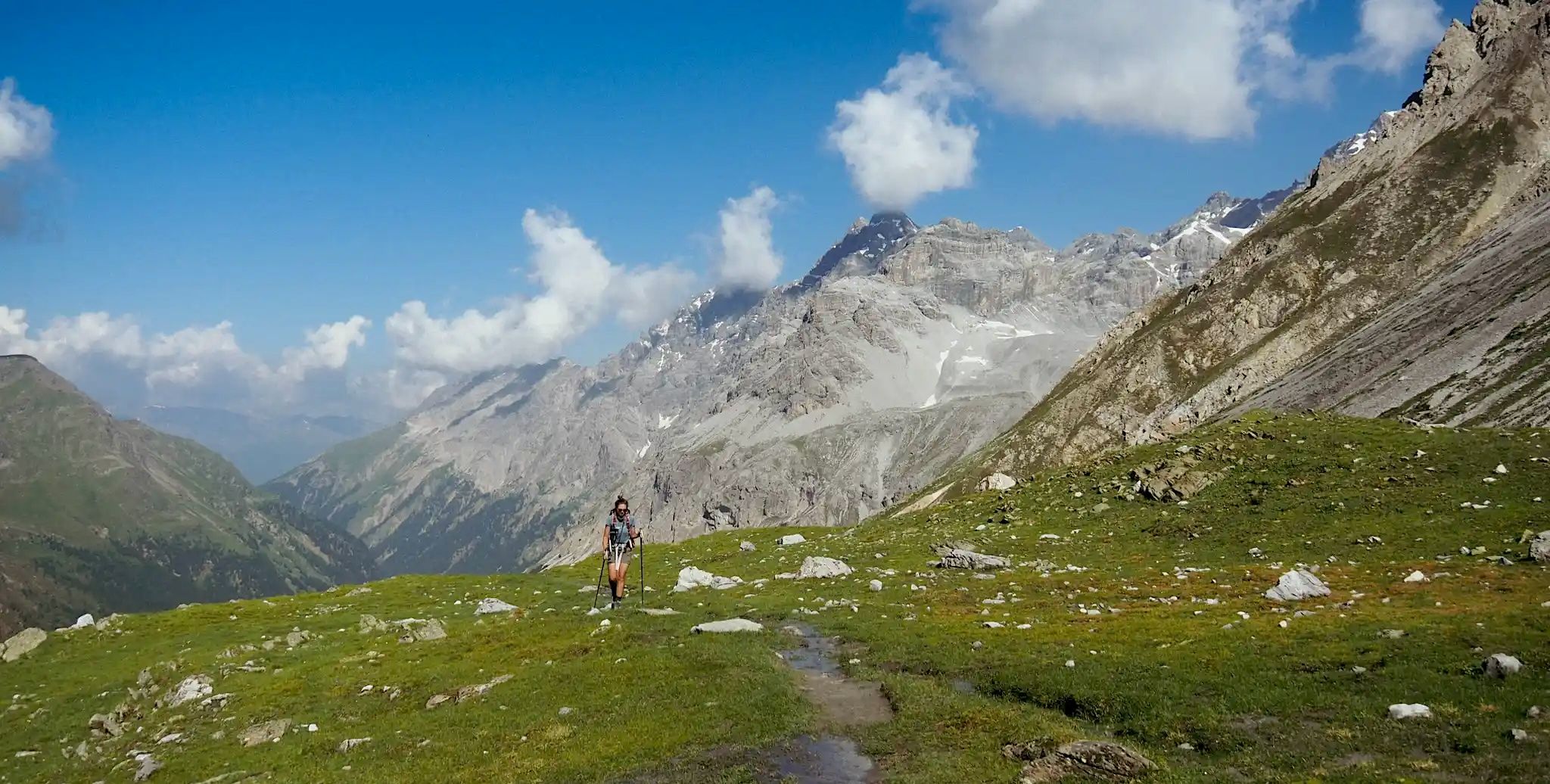
Glaciers, ibex and welcoming mountain huts – Giro del Confinale
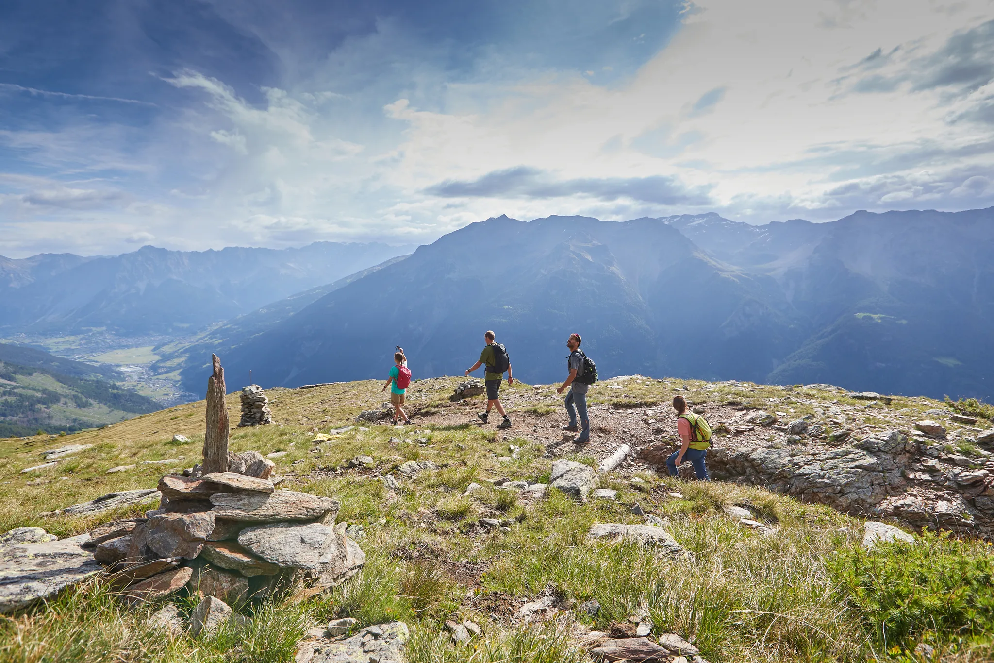
Bormio 360 Adventure Trail – trekking in the beautiful Alta Valtellina
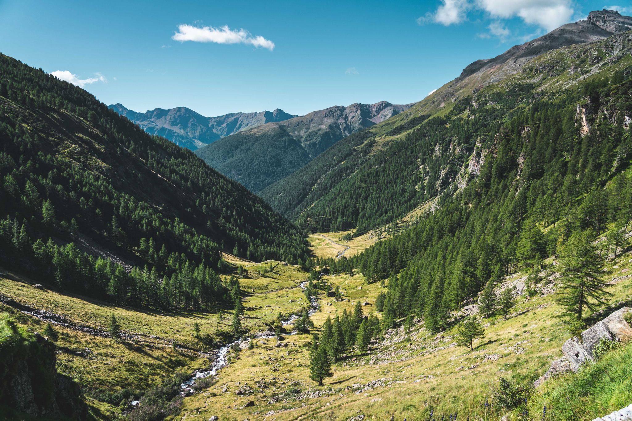
Trekking in Val di Sole – 7 day hikes at high altitude
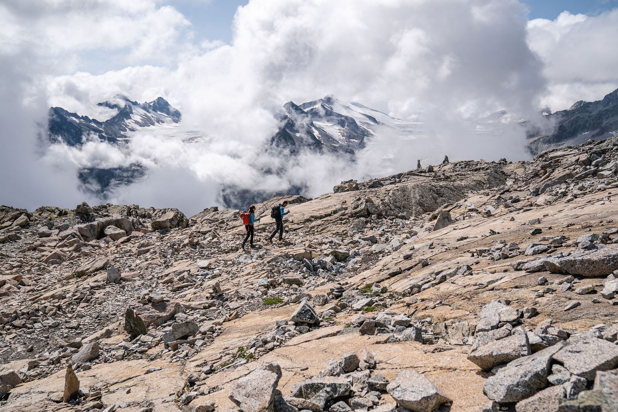
Epic adventures in Val di Sole – between glaciers and rock cathedrals
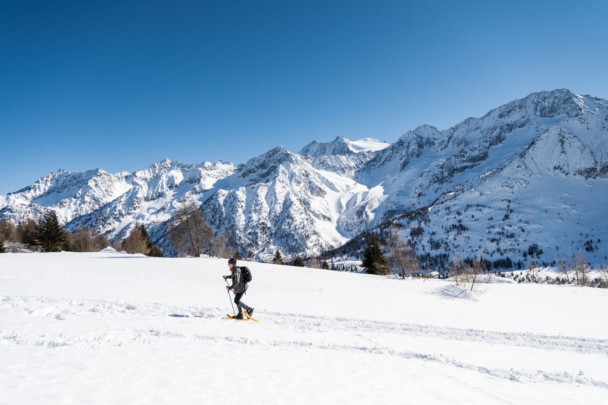
Ten snowshoe hikes in Italy’s Val di Sole

Peaks, rock carvings and mountain huts – hike Italy’s Val Camonica
Other adventures around Parco Nazionale dello Stelvio


Tips from the Community

Very nice place in Vinschgau. Small pedestrian zone with nice, owner-run shops, small cafés, good restaurants and cozy hotels.
0
0

In Goldrain, the Adige (Etsch) flows straight ahead.
0
0
Currently (05.06.2026), the train only runs hourly, with the rail replacement bus running every half hour between Meran and Laas. Between Laas and Mals, only rail replacement buses are running.
0
0
Schlanders is pretty with its many old houses and narrow alleys. I even like some of the many new houses.
0
0

Schlanders (Italian Silandro) is the main town of the Vinschgau in South Tyrol, Italy. The market town is located at around 700 meters above sea level, has a distinct small-town charm, and combines a vibrant culture with a picturesque natural landscape.
0
0

Good opportunity for refreshments
0
0
Frequently Asked Questions
How many urban hiking trails are available around Parco Nazionale dello Stelvio?
There are 5 easy urban hiking trails featured in this guide, all suitable for a leisurely stroll. These routes are primarily located in and around the towns of Schlanders (Silandro) and Goldrain (Coldrano), offering a different perspective of the region compared to the high-alpine trails within the national park itself.
What kind of urban hiking experiences can I expect in this region?
The urban hikes around Parco Nazionale dello Stelvio offer pleasant, easy walks through towns and along rivers, providing a glimpse into local life and culture. You can enjoy routes like the Schlanders train station – Hotel Golden Rose Schlanders loop or the Bridge over the Adige River – The Adige at Goldrain loop, which are perfect for relaxing walks without significant elevation changes.
Are these urban trails suitable for families with children?
Yes, all the urban trails in this guide are rated as easy and are very suitable for families. Their short distances and minimal elevation gain make them ideal for walks with children. For example, the Schlanders Fountain – Vogelsang Campsite loop is a short and accessible option.
Can I bring my dog on these urban hikes?
Generally, dogs are welcome on urban trails, especially when kept on a leash. These routes often pass through populated areas and along public paths. Always ensure your dog is under control and be mindful of local regulations regarding pets in towns and public spaces. The Schlanders (Silandro) – Schlanders Fountain loop is a good example of a town-based walk suitable for dogs.
What is the best time of year for urban hiking around Parco Nazionale dello Stelvio?
Urban hikes are enjoyable year-round. Unlike high-alpine trails, they are less affected by snow and ice, making them accessible even in shoulder seasons or mild winters. Spring and autumn offer pleasant temperatures and beautiful scenery, while summer provides warm, sunny days. Even in winter, these lower-altitude walks can be a great way to experience the region.
Are there any circular urban walking routes?
Yes, all the urban hiking trails featured in this guide are circular routes, designed for convenience. You can start and end your walk at the same point, making them easy to navigate. Examples include the Vogelsang Campsite – Schlanders train station loop and the Bridge over the Adige River – The Adige at Goldrain loop.
What kind of landmarks or attractions can I see on these urban walks?
While these are urban walks, you'll still encounter interesting sights. The routes often pass through charming town centers, along rivers like the Adige, and near local amenities. For historical insights, you might consider exploring nearby castles such as Tschenglsburg Castle or the Lichtenberg Castle ruins, though these may require a short detour from the immediate urban paths.
What do other hikers enjoy most about urban hiking in this area?
The komoot community highly rates the experiences in this region, with an average score of 4.59 stars. Hikers often praise the accessibility and ease of these urban walks, appreciating the opportunity to explore local towns and riverbanks without the strenuous effort of mountain trails. They offer a relaxing way to enjoy the beautiful surroundings of Parco Nazionale dello Stelvio.
Are there cafes or places to eat along these urban trails?
Yes, as these routes are situated in and around towns like Schlanders (Silandro) and Goldrain (Coldrano), you'll find various cafes, restaurants, and shops where you can stop for refreshments or a meal. This makes them perfect for combining a leisurely walk with a culinary experience.
What are the typical lengths and durations of these urban hikes?
The urban hikes in this guide are relatively short and easy. They range from approximately 1.1 km to 3 km in distance, with durations typically between 20 minutes to 50 minutes of active walking. This makes them ideal for quick strolls or for those looking for a less demanding outdoor activity.
Is parking available for these urban hiking trails?
Yes, as these routes are located in towns, you will generally find public parking options available. For routes starting near train stations or town centers, there are often designated parking areas. It's advisable to check local signage for parking regulations and fees.
Can I reach the starting points of these urban walks by public transport?
Many of the urban trails, particularly those in Schlanders (Silandro), are easily accessible by public transport, including the local train service. For example, the Schlanders train station – Hotel Golden Rose Schlanders loop starts directly from the train station, making it convenient for those using public transport.
Most popular routes around Parco Nazionale dello Stelvio
Most popular attractions around Parco Nazionale dello Stelvio

Get inspired with the komoot mobile app


Explore more
Browse the best Hikes in other regions.
