The best city hikes and walks around The Municipal District of Ashbourne
4.7
(97)
1,161
hikers
21
hikes
Urban hiking trails around The Municipal District of Ashbourne offer a variety of experiences within a landscape characterized by rolling hills and verdant dales. The region features the River Dove, ancient woodlands, and former railway lines like the Tissington Trail, which provide accessible paths. These routes often incorporate historical elements and natural features, making them suitable for exploring the area's diverse terrain.
Best urban hiking trails around The Municipal District of Ashbourne
- The most popular urban hiking route is Trim…
Last updated: July 10, 2026
5.0
(3)
40
hikers
4.41km
01:07
10m
10m
Explore medieval history on the easy 2.7-mile Trim Historic Trail, featuring Trim Castle and the River Boyne in Ireland.
7
hikers
2.45km
00:38
10m
10m
Easy hike. Great for any fitness level. Easily-accessible paths. Suitable for all skill levels.

Sign up for free
1.01km
00:16
10m
0m
Easy hike. Great for any fitness level. Easily-accessible paths. Suitable for all skill levels.
3.0
(2)
32
hikers
7.95km
02:02
20m
20m
Moderate hike. Good fitness required. Easily-accessible paths. Suitable for all skill levels.
4.5
(2)
26
hikers
7.70km
01:59
40m
40m
Easy hike. Great for any fitness level. Easily-accessible paths. Suitable for all skill levels.
Get access to more routes and recommendations from other explorers.
Sign up for free
Already have an account?
Our route recommendations are based on thousands of hikes, rides, and runs completed by other people on komoot.
Start today with a free account
Your next adventure awaits.
Login or Signup
Popular around The Municipal District of Ashbourne

Other adventures around The Municipal District of Ashbourne

Tips from the Community

Along the Rathmullan Road, St. Dominic’s Park is a 16-acre urban oasis that serves as a beautiful, tranquil escape right in the heart of Drogheda. Gateway to the Boyne Greenway: It serves as the perfect starting point for the 4.5km riverside walk/cycle to the Battle of the Boyne Visitor Centre at Oldbridge, complete with stunning views of the Mary McAleese Cable Bridge.
1
0

Saint Dominic's Park is a popular area on the south bank of the River Boyne in Drogheda. There are children's play facilities, grass areas, trees and some planted flower beds. There is also a nice figure-of-eight shape path and access to the river trail.
0
0
The riverside path is a multi-user, surfaced trail which runs from Saint Dominic's Park to the Battle of the Boyne Visitor Centre in Oldbridge. It's only 4.5 km (3 miles) but it's a great trail to escape the city.
0
0

The imposing castle ruins are located on the south bank of the River Boyne in the town of Trim (County Meath).
3
0
Of the former St. Mary's Abbey, only a few remains are preserved, such as the Yellow Steeple. The Yellow Steeple is the ruin of the bell tower.
3
0
The native tree trail is a short loop of this section of the park which passes 15 different native trees. If you visit the Dublin City Council website you can download a guide.
0
0
Poppintree Park has a range of sports facilities and play equipment. There is also a tree trail, wetlands, wildflowers and a pond. For runners, the park hosts a Saturday Parkrun and there is an orienteering course.
0
0

Frequently Asked Questions
How many urban hiking trails are available in The Municipal District of Ashbourne?
There are over 20 urban hiking trails documented on komoot for The Municipal District of Ashbourne, catering to various preferences. Most of these, 16 to be exact, are rated as easy, making them accessible for many hikers.
Are there any easy urban hikes suitable for beginners or families?
Yes, The Municipal District of Ashbourne offers many easy urban hikes. A great option for a relaxed stroll is the Poppintree Park loop, which is just under 2.5 km long and features minimal elevation gain. Another accessible choice is the Trim Historic Trail, offering a pleasant 4.4 km walk.
What kind of landmarks or historical sites can I explore on these urban trails?
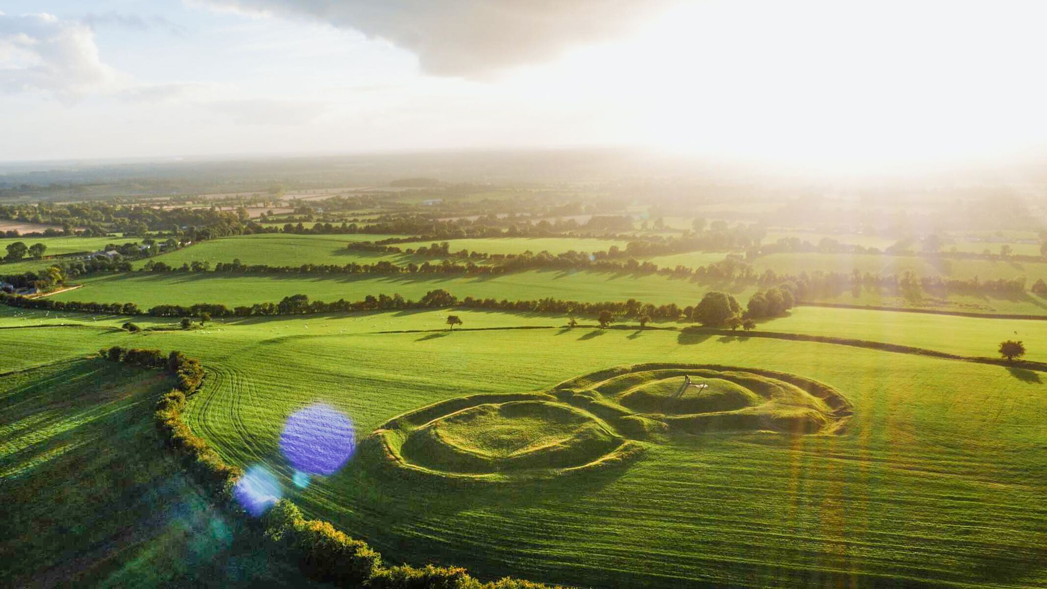
Many urban trails in the area offer glimpses into local history and notable sites. For example, routes like the Trim Castle – Yellow Steeple loop from Trim Castle Keep allow you to explore significant historical structures. You can also find highlights such as the ancient Hill of Tara and the intriguing Stone of Destiny nearby.
Are there any circular urban walking routes?
Yes, many of the urban trails in The Municipal District of Ashbourne are designed as circular routes, offering convenient starting and ending points. The Poppintree Park loop is a great example of a circular route, perfect for a complete experience without retracing your steps.
What do other hikers say about the urban trails in The Municipal District of Ashbourne?
The urban trails in The Municipal District of Ashbourne are highly regarded by the komoot community, with an average rating of 4.7 stars. Hikers often praise the accessibility of the routes and the opportunity to combine nature with historical exploration.
Are there any urban hikes that pass by cafes or places to eat?
Yes, some urban routes are conveniently located near amenities. For instance, the Insomnia Coffee Company loop from Santry is designed to pass by a coffee shop, perfect for a break. Additionally, the Maguire's Café at Hill of Tara is a popular spot near some historical sites.
What is the best time of year to go urban hiking in The Municipal District of Ashbourne?
The Municipal District of Ashbourne offers pleasant urban hiking experiences throughout much of the year. Spring and autumn provide comfortable temperatures and beautiful scenery, while summer is ideal for longer daylight hours. Even winter can be enjoyable for urban walks, provided you dress appropriately for the weather.
Are the urban trails suitable for dogs?
Many urban trails in The Municipal District of Ashbourne are dog-friendly, allowing you to enjoy a walk with your canine companion. However, it's always recommended to check specific route details and local regulations regarding dogs, especially in parks or protected areas, and to keep them on a leash.
What should I wear for urban hiking in this region?
For urban hiking in The Municipal District of Ashbourne, comfortable walking shoes are essential. Layers are advisable, as the weather can change. Depending on the season, a waterproof jacket might be useful. For longer walks, consider bringing water and snacks.
Are there any urban routes that offer views of rivers or natural waterways?
While the focus is urban, some routes may offer glimpses of natural features. The Delvin River estuary is a notable natural highlight in the broader area, and while not directly on an urban trail listed, it signifies the presence of waterways in the region that might be accessible on other local walks.
Can I find urban hikes that are a bit more challenging than easy strolls?
Yes, while most urban trails are easy, there are moderate options for those seeking a bit more challenge. The Insomnia Coffee Company loop from Santry, for example, is rated as moderate, offering a longer distance and slightly more varied terrain compared to the easiest routes.
Most popular routes around The Municipal District of Ashbourne
Most popular attractions around The Municipal District of Ashbourne

Get inspired with the komoot mobile app


Explore more
Browse the best Hikes in other regions.
