The best traffic-free bike rides around Tullow
4.5
(4)
94
riders
7
rides
No traffic touring cycling routes around Tullow are set within County Carlow, Ireland, characterized by the fertile River Slaney Valley and the dramatic backdrop of the Blackstairs Mountains. The region offers a diverse landscape, ranging from the lowlands of the Slaney Valley to the inclines of Mount Leinster, a prominent summit. This varied terrain provides a mix of scenic routes and challenging climbs for touring cyclists.
Best no traffic touring cycling routes around Tullow
- The most popular no traffic touring…
Last updated: July 10, 2026
1
riders
40.7km
03:59
100m
100m
Cycle the 25.3-mile Barrow Way: Carlow to Athy Loop, a difficult touring route with riverside views and historic mills.
5.0
(1)
9
riders
42.9km
03:50
160m
160m
Moderate bike ride. Good fitness required. Mostly paved surfaces. Suitable for all skill levels.

Sign up for free
4
riders
38.8km
02:49
830m
830m
Hard bike ride. Very good fitness required. Mostly paved surfaces. Suitable for all skill levels.
3
riders
40.0km
02:37
510m
510m
Hard bike ride. Very good fitness required. Mostly paved surfaces. Suitable for all skill levels.
4.0
(1)
3
riders
15.9km
00:56
90m
90m
Easy bike ride. Great for any fitness level. Mostly paved surfaces. Suitable for all skill levels.
Get access to more routes and recommendations from other explorers.
Sign up for free
Already have an account?
Our route recommendations are based on thousands of hikes, rides, and runs completed by other people on komoot.
Start today with a free account
Your next adventure awaits.
Login or Signup

Other adventures around Tullow

Tips from the Community

The Barrow Way is a 117 km (73 mile) long distance multi-user trail which follows the River Barrow from close to its source in the Slieve Bloom Mountains to the Celtic Sea at Waterford Harbour. This section of the trail (and river) follows a well-made and relatively flat trail between Goresbridge and Ballyteigelea.
0
0

Just off the Military Road above Glenmalure, you'll find this nice little cascade on the Ballyboy Brook. From here, it's just a short walk to the Glenmalure Lodge for accommodation and refreshments. A short way further north are the more impressive Coolalingo Waterfalls.
0
0

There are plenty of places to get refreshments: next to the old stone bridge, or in the nearby town itself. A perfect stop when walking the Barrow Way.
0
0

As you pass over this small bridge, take a moment to appreciate the brown hues of the brook, a natural staining from surrounding peat bogs.
1
0

End of route, perfect location to finish the hike, eat or drink something before to leave.
0
0
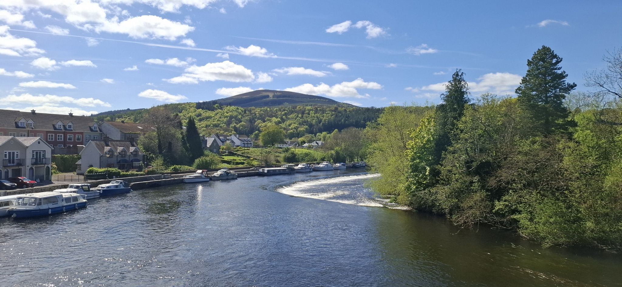
This is a scenic bridge across the beautiful River Barrow, a fine sight on both the Barrow Way and South Leinster Way long-distance trails. The river here marks the border between Counties Kilkenny and Carlow.
0
0

The Glenmalure Lodge is one of the few restaurants/pubs directly on the Wicklow Way. Good food, good beer of course.
1
0
Frequently Asked Questions
How many no-traffic touring cycling routes are available around Tullow?
There are 7 dedicated no-traffic touring cycling routes around Tullow, offering a range of experiences from easy spins to more challenging rides. You'll find 1 easy route, 2 moderate routes, and 4 difficult routes to explore.
What kind of terrain can I expect on no-traffic touring cycling routes near Tullow?
The terrain around Tullow is quite varied. You can expect routes that follow the serene River Slaney Valley with fertile agricultural land, as well as more challenging ascents towards Mount Leinster and the Blackstairs Mountains. Some routes may include unpaved segments, offering a more rugged cycling experience.
Are there any easy, family-friendly no-traffic cycling routes in the area?
Yes, for an easier, family-friendly option, consider the Bike loop from Brownshill Dolmen. This route is approximately 16 km long with minimal elevation gain, making it suitable for a relaxed outing. The region's varied landscape also offers many quiet roads perfect for family cycling.
What are some notable landmarks or attractions I can see along these routes?
Many routes offer glimpses of the region's rich history and natural beauty. You might pass by historical sites like the Haroldstown Dolmen or enjoy views of prominent natural features such as Mount Leinster and Kilbrannish Forest. Huntington Castle is also a significant nearby attraction.
Are there any circular no-traffic touring routes around Tullow?
Yes, several routes are designed as loops. For example, the Ballytiglea Bridge – Ballykeenan Lock loop from Muine Bheag offers a moderate 43 km circular ride. Another option is the Barrow Way: Carlow to Athy Loop, a more challenging 40 km route.
What do other touring cyclists say about the no-traffic routes in Tullow?
The komoot community rates the touring cycling experience around Tullow highly, with an average score of 4.3 stars. Reviewers often praise the quiet roads, the scenic beauty of the River Slaney Valley, and the rewarding views from higher elevations like those near Mount Leinster.
Can I find long-distance no-traffic cycling options near Tullow?
Yes, several routes offer substantial distances. The Ballytiglea Bridge – Ballykeenan Lock loop from Muine Bheag is approximately 43 km, and the Barrow Way: Carlow to Athy Loop covers about 40 km, providing good options for longer rides away from traffic.
Are there routes with significant elevation gain for advanced cyclists seeking a challenge?
Absolutely. For advanced cyclists looking for elevation, routes like the Drumgoff Bridge – Glenmalure Inn loop from Ballinguile ED feature over 800 meters of ascent over 39 km. The Donard – Glen of Imaal loop from Baltinglass also offers over 500 meters of climbing, providing a good workout.
What is the best time of year to cycle the no-traffic routes around Tullow?
Tullow offers enjoyable cycling throughout much of the year. Spring and autumn provide pleasant temperatures and beautiful scenery, with vibrant foliage or blooming flowers. Summer is also popular, though it can be warmer. Always check local weather forecasts, especially if planning to cycle in higher elevations or during winter months.
Are there places to stop for refreshments or food near the no-traffic cycling routes?
While specific cafes directly on every no-traffic route may vary, Tullow itself is a market town with various amenities. Many routes pass through or near villages and towns where you can find pubs and cafes. Planning your route with potential stops in mind is recommended.
Where can I find more information about Tullow and its attractions for my trip?
For additional information about Tullow and its broader attractions, including local events and services, you can visit the official Carlow Tourism website: carlowtourism.com.
Most popular attractions around Tullow

Get inspired with the komoot mobile app


Explore more
Browse the best Cycling routes in other regions.
