The best volcano hikes and walks in Deschutes County
4.8
(357)
8,182
hikers
16
hikes
Volcano hiking trails in Deschutes County, Oregon, traverse a landscape shaped by significant volcanic activity, high-desert terrain, and extensive national forests. The region features prominent volcanic formations like Lava Butte and the Three Sisters, alongside the Deschutes River and its waterfalls. Hikers can explore diverse ecosystems ranging from ponderosa pine forests to ancient juniper trees and unique volcanic rock formations. This varied geography provides a wide array of outdoor experiences for all levels.
Best volcano hiking trails in Deschutes County
…Last updated: October 10, 2026
5.0
(1)
24
hikers
9.44km
04:36
1,460m
0m
Hard hike. Very good fitness required. Sure-footedness, sturdy shoes and alpine experience required.
5.0
(1)
5
hikers
3.59km
01:04
150m
20m
Easy hike. Great for any fitness level. Easily-accessible paths. Suitable for all skill levels.

11.4km
03:05
230m
10m
Moderate hike. Good fitness required. Easily-accessible paths. Suitable for all skill levels.
5.0
(6)
62
hikers
6.40km
01:50
150m
150m
Easy hike. Great for any fitness level. Easily-accessible paths. Suitable for all skill levels.
5.0
(2)
25
hikers
5.14km
01:35
180m
180m
Easy hike. Great for any fitness level. Easily-accessible paths. Suitable for all skill levels.
Get access to more routes and recommendations from other explorers.
Already have an account?
Our route recommendations are based on thousands of hikes, rides, and runs completed by other people on komoot.
Start today with a free account
Your next adventure awaits.
Popular around Deschutes County
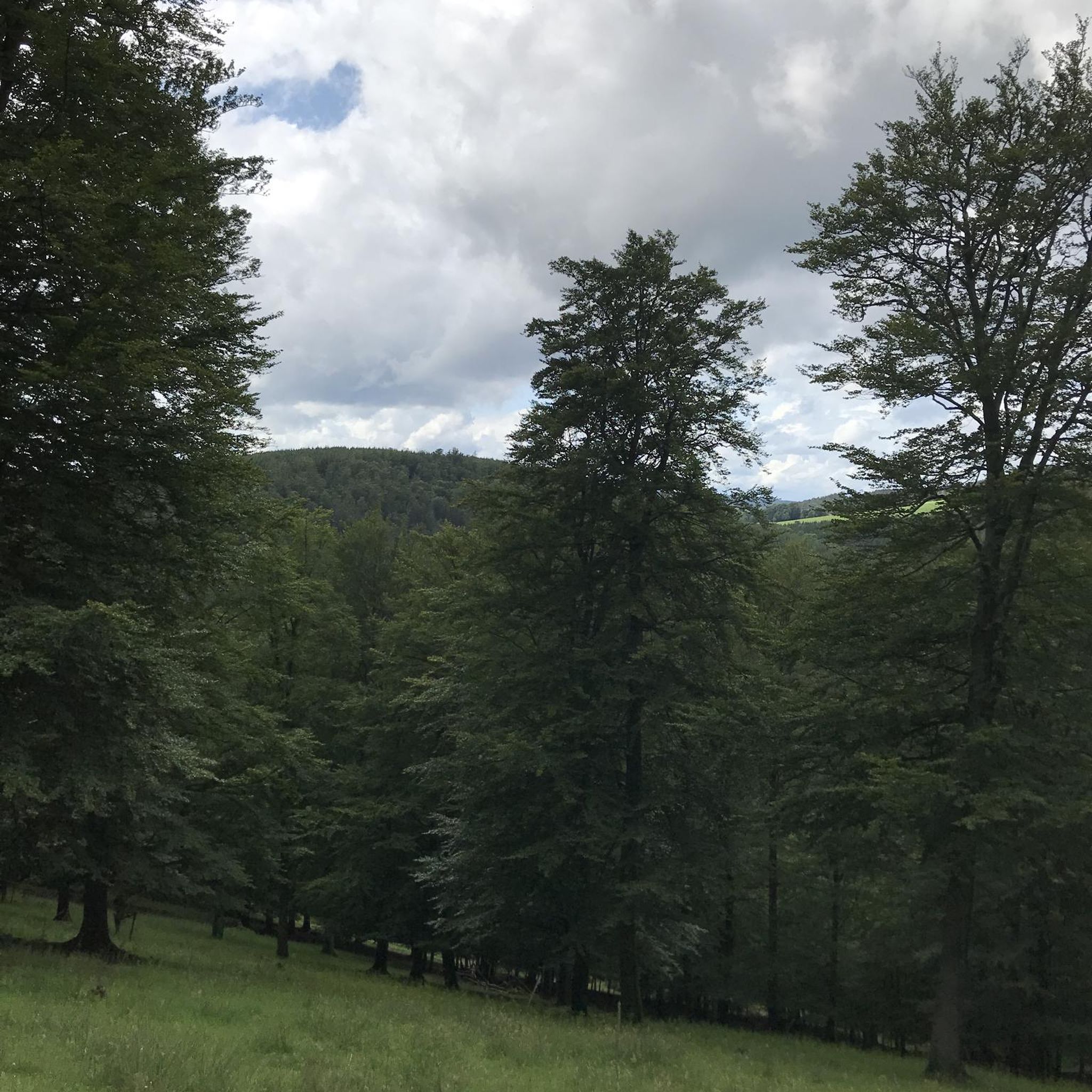
Volcano hikes in Deschutes National Forest
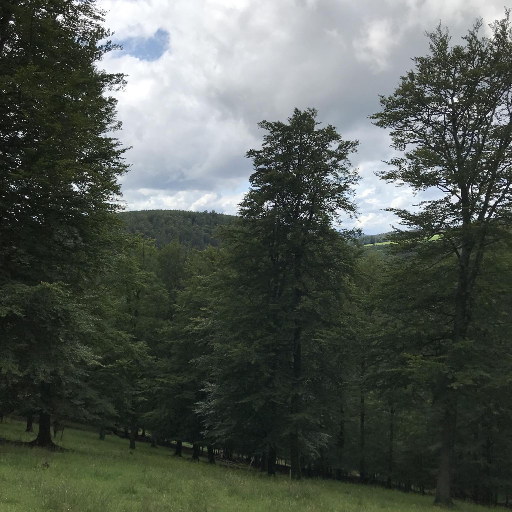
Volcano hikes around Bend
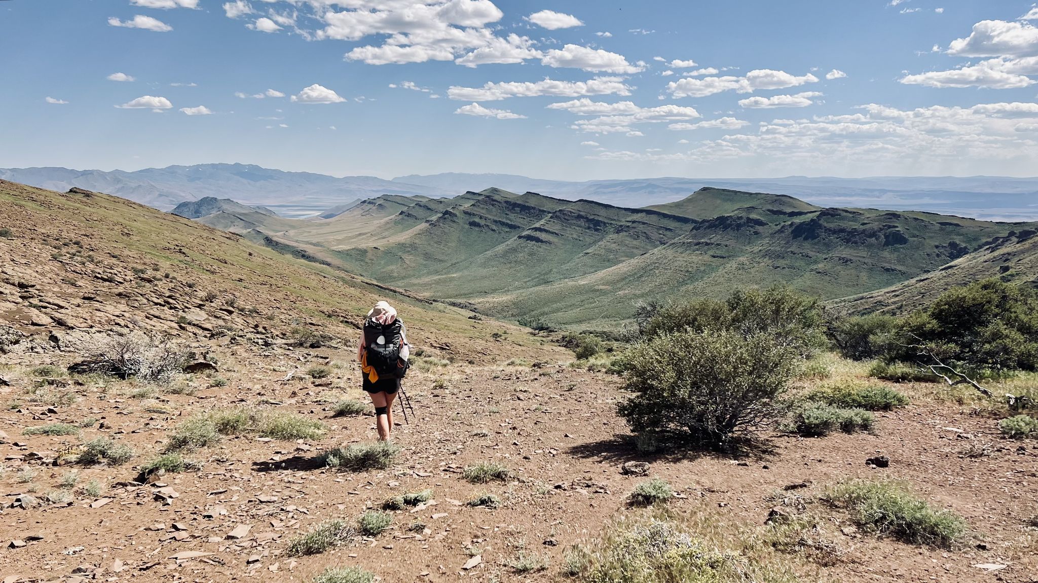
Oregon Desert Trail – Roughly the Right Direction

Pacific Crest Trail from Mexico to Canada – 4,200 kilometres of wilderness
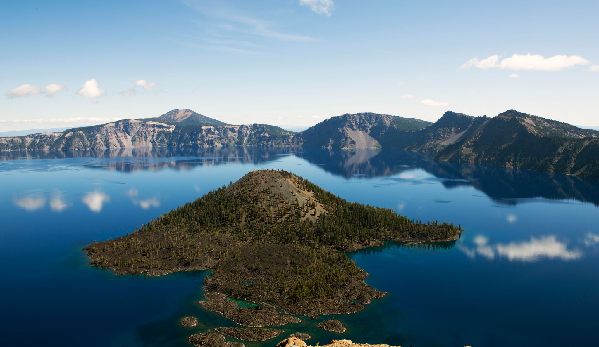
Volcanic peaks and glistening shores – discover Oregon and Washington

Oregon Trail Gravel Grinder — circling the Cascade Range
Other adventures in Deschutes County


Tips from the Community

As you approach the Lewis Tarn, you may be fooled by the false summit, as you cannot see the true summit on the approach. Many people turn around at this glacial lake rather than hiking the last .8 of a mile to the top as the trail gets quite steep after this point.
0
0
The views to the north of the South Sister summit are worth the .4 of a mile hike to the far side. We were able to see all the way to Mt Rainier. When you reach the summit circle trail, go to the right for the easiest access.
0
0
Trails in this area require a Central Cascades Wilderness permit, available from recreation.gov. Permits are issued in a rolling 10 day and 2 day out window, so check for permits 10 or 2 days prior to the day you wish to use the trail. These permits to both day and overnight use; it is important to obtain one before heading out.
0
0
The geologic history of Oregon on display as you walk this trail is incredible. Interpretative signs explain many facets of the unique landscape - from the eruption history to the flora and fauna that live there. The volcanic history of Central Oregon is told here, and it is worth a stop!
1
0
One of the best views in Bend, and an excellent spot to do hill repeats with either a paved or trail surface. A Century Club promotes friendly competition and repeats of this climb; kiosk is located at the trailhead.
0
0

This is the boundary of the Three Sisters Wilderness along the South Sister Climbers Trail. Before you enter the wilderness, you need to obtain a permit at recreation.gov. And yes, there are rangers checking your permit along the trail.
0
0

If you don't have time to climb or drive on the butte, you should still do this very easy hike. There are great views and boards that explain a lot of things well.
0
0

This well-maintained trail forms a loop around the mountain, guiding you towards the summit of Pilot Butte. Among the two routes leading to the summit, this one is the dirt trail, while the other is paved. If you opt for the paved trail on your descent, remain attentive to approaching traffic.
0
1
Frequently Asked Questions
How many volcano hiking trails are available in Deschutes County?
Deschutes County offers a diverse range of volcano hiking experiences, with 17 trails listed in this guide. These routes vary in difficulty, ensuring there's something for every hiker, from easy strolls to challenging ascents.
Are there any easy volcano hikes suitable for beginners or families?
Yes, Deschutes County has several easy volcano hikes perfect for beginners and families. The Lava Butte Rim Trail offers a relatively short and accessible path around a prominent cinder cone, providing great views of the surrounding volcanic landscape. Another excellent option is the Pilot Butte Nature Trail, which leads to panoramic views from a volcanic cinder cone right in Bend.
What are some of the more challenging volcano hikes in the region?
For experienced hikers seeking a challenge, the South Sister Climber Trail is a demanding ascent to the summit of Oregon's third-highest peak. This difficult route offers incredible views of the Three Sisters Wilderness and other Cascade peaks, but requires significant elevation gain and stamina.
What unique volcanic features can I expect to see on these trails?
Deschutes County's volcanic trails showcase a variety of dramatic features. You can explore lava flows, cinder cones, and even lava caves. The Newberry National Volcanic Monument is a prime example, featuring the impressive Big Obsidian Flow and the mile-long Lava River Cave. Many trails also offer views of ancient lava fields and the distinct shapes of volcanic peaks like the Three Sisters and Broken Top.
Are there any loop trails among the volcano hikes?
Yes, several volcano hikes in Deschutes County offer loop configurations. The Lava Butte Trail Loop is a great example, providing a circular route around the cinder cone with interpretive signs about the area's geology. Loop trails are excellent for experiencing diverse scenery without retracing your steps.
What is the best time of year to hike volcano trails in Deschutes County?
The best time to hike volcano trails in Deschutes County is generally from late spring through early fall (May to October). During these months, trails are typically free of snow, and the weather is mild and sunny. Higher elevation trails, like those in the Three Sisters Wilderness, are usually accessible from July to September. Always check current conditions before heading out, especially in shoulder seasons.
Are dogs allowed on volcano hiking trails in Deschutes County?
Many trails in Deschutes County, especially those within the Deschutes National Forest, are dog-friendly, but regulations can vary by specific area and wilderness designation. It's always best to check the specific trail's rules before you go. Generally, dogs should be kept on a leash to protect wildlife and ensure a pleasant experience for all hikers.
Are permits required for hiking volcano trails in Deschutes County?
Permit requirements vary depending on the specific trail and time of year. Some popular wilderness areas, particularly within the Three Sisters Wilderness, may require permits for day use or overnight stays, especially during peak season. It's crucial to check with the U.S. Forest Service or relevant land management agency for the most up-to-date permit information for your chosen route.
What other natural attractions can I explore near the volcano hiking trails?
Beyond the volcanic features, Deschutes County offers a wealth of natural attractions. You can visit Upper Paulina Falls, a beautiful waterfall within the Newberry Volcanic Monument. The Crooked River and its dramatic canyon at Smith Rock State Park also offer stunning scenery and additional hiking opportunities. Many trails provide views of the Deschutes River and its cascades like Dillon Falls and Benham Falls.
What do other hikers say about the volcano trails in Deschutes County?
The volcano hiking trails in Deschutes County are highly regarded by the komoot community, with an average rating of 4.8 stars. Hikers frequently praise the stunning panoramic views from volcanic summits, the unique geological formations like lava flows and cinder cones, and the well-maintained paths that make exploring these dramatic landscapes enjoyable.
Are there any trails that combine volcanic scenery with water features?
Yes, several trails offer a blend of volcanic landscapes and water features. While not exclusively volcano trails, routes along the Deschutes River often wind through areas shaped by ancient volcanic activity, providing views of basalt rimrock formations alongside the river. Within the Newberry National Volcanic Monument, you'll find Paulina Lake and East Lake nestled within a caldera, offering beautiful lakeside hikes amidst volcanic terrain.
What should I wear for volcano hiking in Deschutes County?
Given the varied terrain and potential for exposed areas, it's recommended to wear sturdy hiking boots, layers of clothing to adapt to changing weather, and sun protection (hat, sunglasses, sunscreen). The volcanic rock can be sharp and uneven, so good footwear is essential. Always carry plenty of water, as many trails can be dry and exposed.
Most popular routes in Deschutes County
Most popular attractions in Deschutes County

Get inspired with the komoot mobile app


Didn’t find what you were looking for?
Check out more Hikes throughout Deschutes County below and find the perfect route in your destination.
Explore more
Browse the best Hikes in other regions.
