The best road cycling routes around Mescherin
4.8
(82)
1,009
riders
66
rides
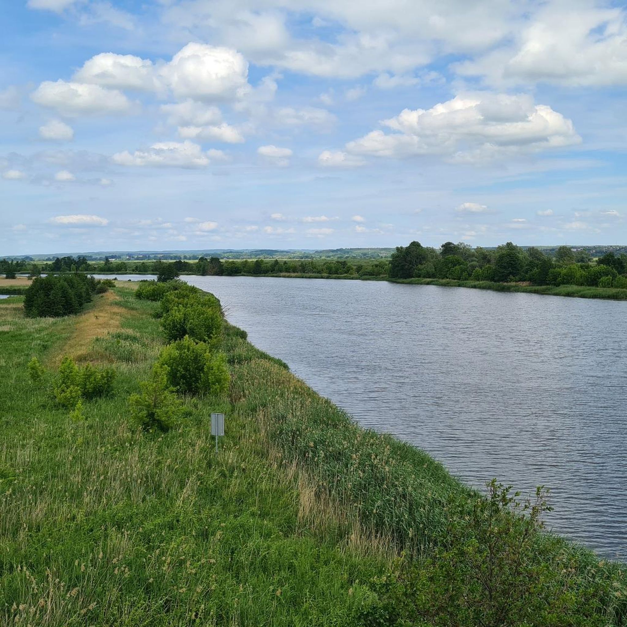
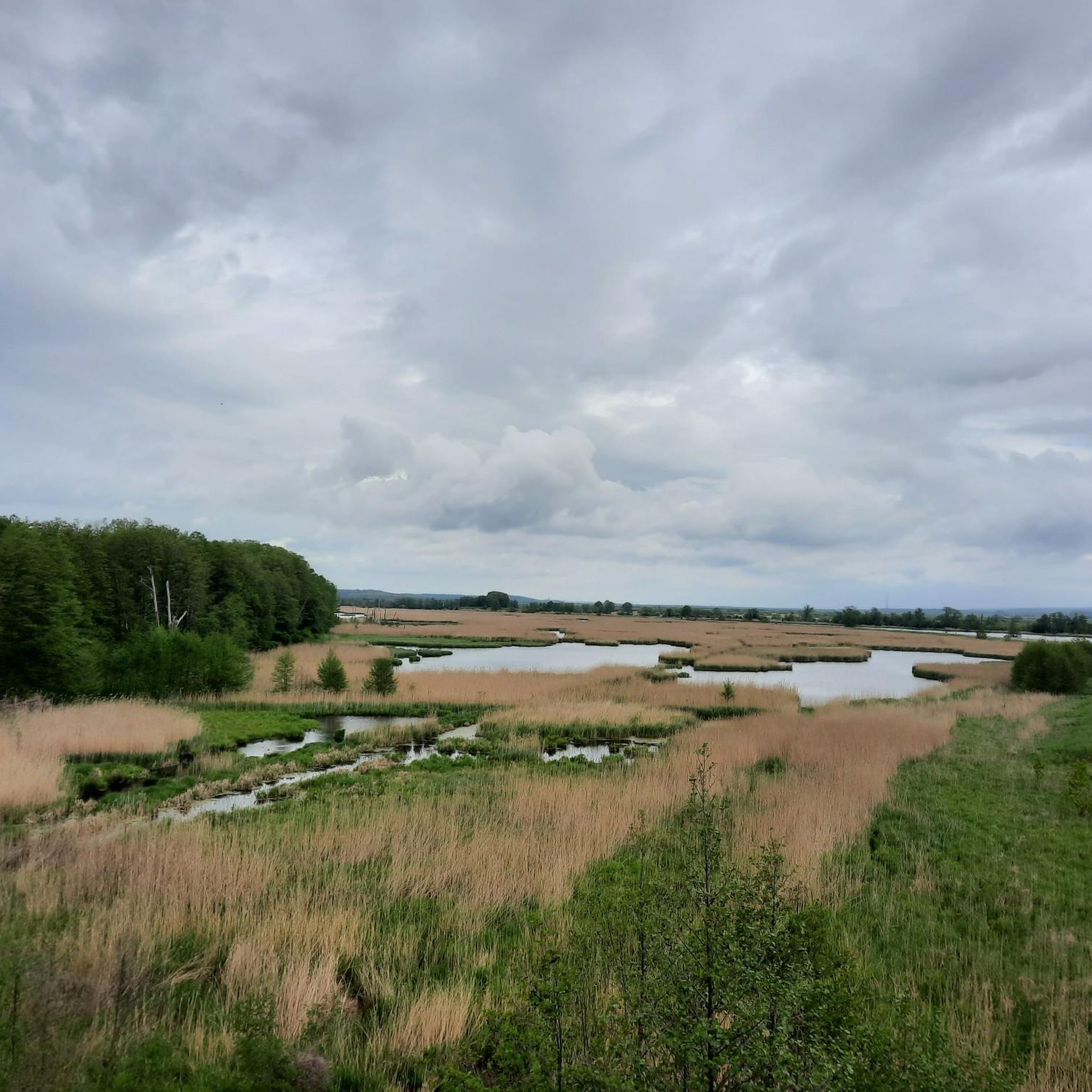
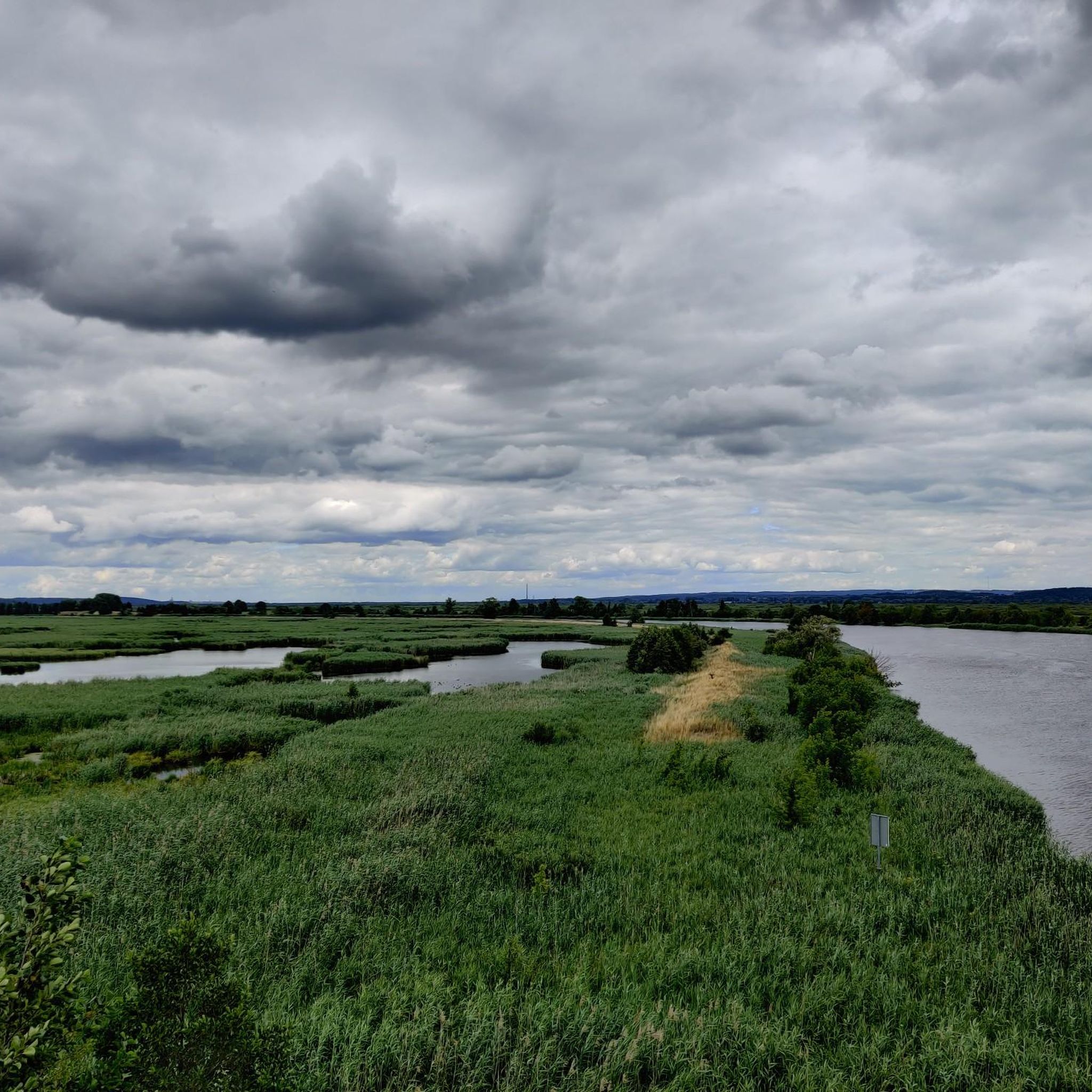
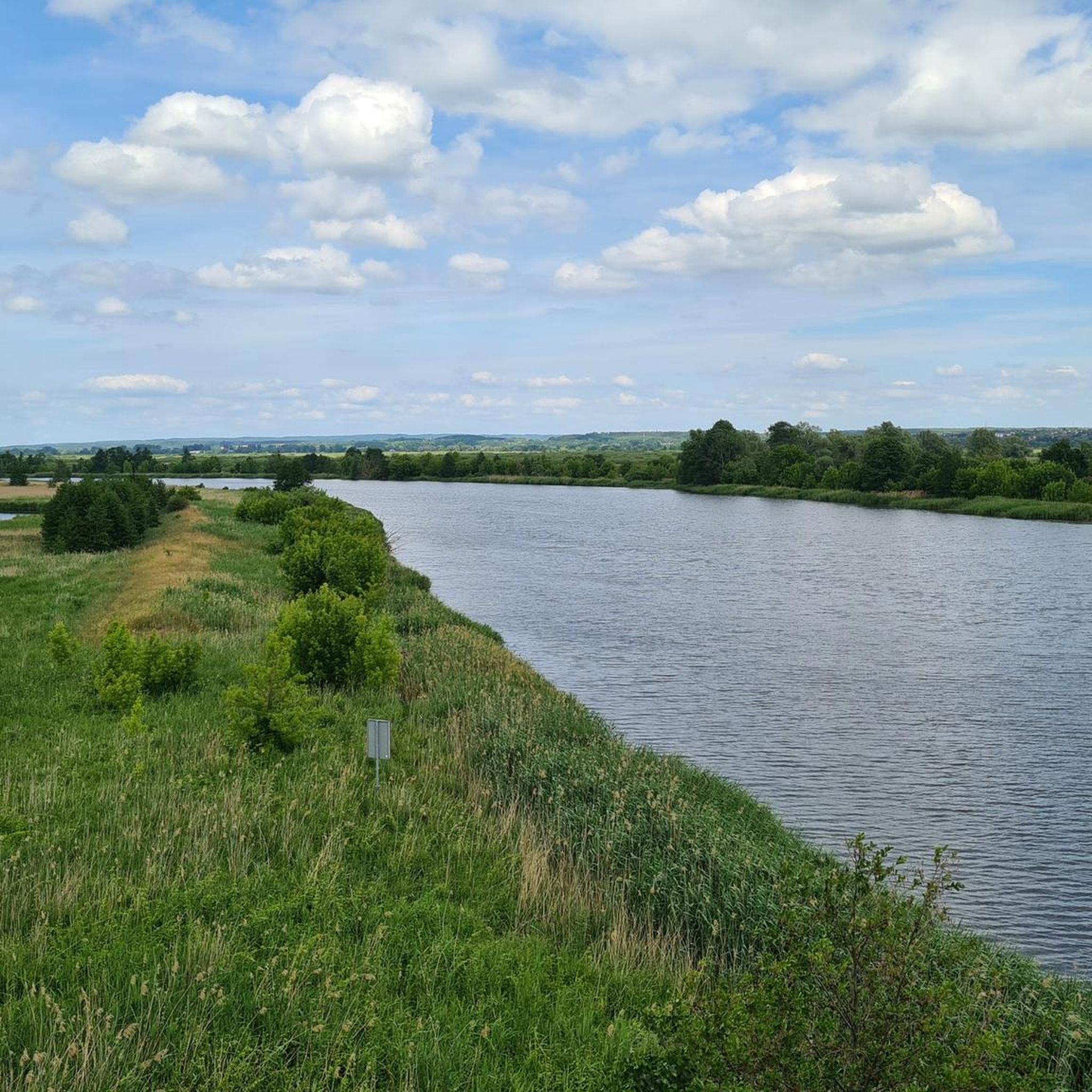
Road cycling around Mescherin is characterized by its location within the Lower Oder Valley National Park, Germany's only floodplain national park. The terrain features extensive riverside meadows, wet polders, and the prominent Oder River, with many routes running along dykes. The region offers a network of mostly paved paths, including tree-lined roads, providing varied cycling experiences. Elevation gains are generally low, making it suitable for diverse skill levels.
Best road cycling routes around Mescherin
- The most popular road cycling route…
Last updated: June 29, 2026
5.0
(1)
76
riders
Moderate road ride. Good fitness required. Mostly well-paved surfaces and easy to ride.
5.0
(4)
48
riders
48.8km
01:56
170m
170m
Easy road ride. Great for any fitness level. Mostly well-paved surfaces and easy to ride.

Sign up for free
14
riders
32.3km
01:21
140m
140m
Easy road ride. Great for any fitness level. Mostly well-paved surfaces and easy to ride.
16
riders
29.2km
01:09
110m
110m
Easy road ride. Great for any fitness level. Mostly well-paved surfaces and easy to ride.
16
riders
59.7km
02:27
300m
300m
Moderate road ride. Good fitness required. Mostly well-paved surfaces and easy to ride.
Get access to more routes and recommendations from other explorers.
Sign up for free
Already have an account?
Our route recommendations are based on thousands of hikes, rides, and runs completed by other people on komoot.
Start today with a free account
Your next adventure awaits.
Login or Signup
Tips from the Community

Asphalt cycle path to Kamieniec.
0
0
The current shape of the church is the result of a thorough reconstruction of the building carried out in 1826. During World War II, the church was used as a warehouse. A wooden tower with clock faces is incorporated into the nave.
0
0
Intersection with a STOP sign for bicycles.
0
0
The facility was built between 1911 and 1913 as an extension of the present-day Piastów Street. The bridge, approximately 250 meters long and 10 meters wide, was opened in January 1913. The longest, central span intended for navigation was additionally equipped with a rotating bridge. The design and construction were carried out by engineers Narten, Braun, Stuwert, Ostmann, and Herbst.
0
0
an asphalt bike path winding picturesquely through the hills of Wał Stobniański. Numerous elevation changes. Part of Blue Velo R3 – Oder Bicycle Trail.
1
0
Asphalt bike path to Kamieniec. Pleasant to ride.
1
0

water tap at the back of the gas station
0
1

The gate to Pargowo was locked yesterday (wire and cable ties) and a sign read "Crossing the state border prohibited"!
0
0
Frequently Asked Questions
How many road cycling routes are available around Mescherin?
Mescherin offers a wide selection of road cycling routes, with over 50 distinct tours available. These routes cater to various skill levels, including 16 easy, 37 moderate, and 2 more challenging options.
What kind of terrain can I expect on road cycling routes in Mescherin?
The terrain around Mescherin is primarily characterized by its location within the Lower Oder Valley National Park. You'll find extensive riverside meadows and many routes running along dykes, offering elevated views. The network consists mostly of paved paths, including quiet, tree-lined roads, making it ideal for road cycling. Elevation gains are generally low.
What are the best times of year for road cycling in Mescherin?
The most popular months for cycling in Mescherin are July and August due to favorable weather. However, spring and autumn also offer unique experiences, especially for birdwatching, as the Lower Oder Valley National Park is a significant stop for thousands of migratory birds.
Are there any family-friendly road cycling routes in Mescherin?
Yes, Mescherin offers several easy road cycling routes suitable for families. These routes often feature low elevation gains and well-paved paths, allowing for a relaxed cycling experience through the scenic floodplain landscape. An example of an easy route is the Gryfino Bridge – Blue Velo R3 Through Staffelde loop from Kamieniec, which follows the Oder River.
What natural features can I explore along the cycling routes?
Cycling in Mescherin immerses you in the unique floodplain landscape of the Lower Oder Valley National Park. You can experience vast riverside meadows, wet polders (accessible in summer), and areas rich in birdlife, including birds of prey and storks. The Oder River is a central element, with many paths running along its course, offering expansive views. The Uckermark region near Mescherin also showcases diverse flora and fauna.
What landmarks or attractions can I see while cycling in Mescherin?
Along the routes, you can discover several points of interest. Consider stopping at Shipwreck in Mescheriner See or enjoying the Picnic Area and Swimming Spot at Meschriner See. Further afield, you might encounter the unique Crooked Forest or the scenic Mountain of Love viewpoint. The National Park Center Criewen also provides information and exhibitions on the floodplain landscape.
Are there circular road cycling routes available?
Yes, many of the road cycling routes around Mescherin are designed as loops, allowing you to start and end in the same location. For example, the popular Blue Velo R3 Through Staffelde – Karwowo–Przecław Bike Path loop from Gryfino offers expansive views of the floodplain landscape.
What do other road cyclists say about the routes in Mescherin?
The road cycling routes around Mescherin are highly regarded by the komoot community, with an average rating of 4.8 out of 5 stars from over 60 reviews. Cyclists often praise the well-maintained paths, the serene environment of the Lower Oder Valley National Park, and the beautiful riverside views.
Is it possible to reach Mescherin and its cycling routes by public transport?
While specific public transport options directly to all trailheads might vary, the region is generally accessible. For detailed information on public transport connections to Mescherin, especially concerning bike transport, it's advisable to check local transport schedules or the official website of the Lower Oder Valley National Park for visitor information.
Are there cafes or restaurants near the cycling routes in Mescherin?
Yes, Mescherin and the surrounding villages offer various options for refreshments. You can find cafes and restaurants in the towns along the routes, providing opportunities to refuel and relax during your ride. It's a good idea to check opening hours, especially in smaller communities.
Are there any challenging road cycling routes for experienced riders?
While many routes in Mescherin are easy to moderate, there are a couple of more challenging options for experienced road cyclists. These routes might feature longer distances or slightly more varied terrain, though significant elevation gains are uncommon in this floodplain region. The Wirówek Manor – Chwarstnickie Lake loop from Gryfino is an example of a moderate route that offers a good workout.
Where can I find parking for road cycling in Mescherin?
Parking facilities are typically available in Mescherin and at various starting points for the cycling routes within the Lower Oder Valley National Park. Look for designated parking areas in towns or near popular trail access points. Specific information on parking locations can often be found on local tourism websites or at the National Park Center Criewen.
Most popular routes around Mescherin
Most popular attractions around Mescherin

Get inspired with the komoot mobile app


Explore more
Browse the best Road cycling routes in other regions.
