The best family-friendly hikes and walks in Cochise County
4.7
(75)
686
hikers
25
hikes
Family friendly hiking trails in Cochise County traverse a diverse landscape characterized by "Sky Island" mountain ranges rising dramatically from the desert floor. These ranges, including the Chiricahua, Dragoon, and Huachuca Mountains, create varied ecosystems from desert grasslands to oak-juniper woodlands and pine forests at higher elevations. Hikers can explore areas featuring unique volcanic rock formations, granite boulders, and vital riparian corridors along the San Pedro River. The region offers a blend of plant life from four biomes, providing a…
Last updated: July 8, 2026
5.0
(5)
24
hikers
9.70km
02:45
210m
230m
Embark on the moderate Brown Canyon Trail for a diverse hiking experience covering 6.0 miles (9.7 km) with an elevation gain of 689 feet (210 metres), typically taking around 2…
5.0
(5)
24
hikers
9.70km
02:45
210m
230m
Embark on the Brown Canyon Trail for a moderate hiking experience through a diverse high desert landscape. You will traverse areas dotted with oak, juniper, and manzanita, offering excellent views…

Sign up for free
5.0
(1)
20
hikers
12.9km
04:01
490m
470m
The Heart of Rocks from Echo Canyon Trailhead offers an unparalleled journey into Chiricahua National Monument's most iconic geological formations. You'll descend into Echo Canyon, winding through towering rock spires…
5.0
(1)
4
hikers
32.8km
10:30
1,310m
1,380m
Embark on a challenging hike through Arizona Trail: Passage 1 - Huachuca Mountains, a difficult 20.4-mile (32.8 km) route that takes around 10 hours and 30 minutes to complete. You…
8
hikers
6.58km
01:41
20m
20m
Embark on the Fairbank Loop via San Pedro Trail, an easy hike that guides you through a captivating blend of riparian forests, mesquite woodlands, and ancient river washes. This 4.1…
Get access to more routes and recommendations from other explorers.
Sign up for free
Already have an account?
Our route recommendations are based on thousands of hikes, rides, and runs completed by other people on komoot.
Start today with a free account
Your next adventure awaits.
Login or Signup
Popular around Cochise County

Family-friendly hikes in Coronado National Forest

Family-friendly hikes in Miller Peak Wilderness
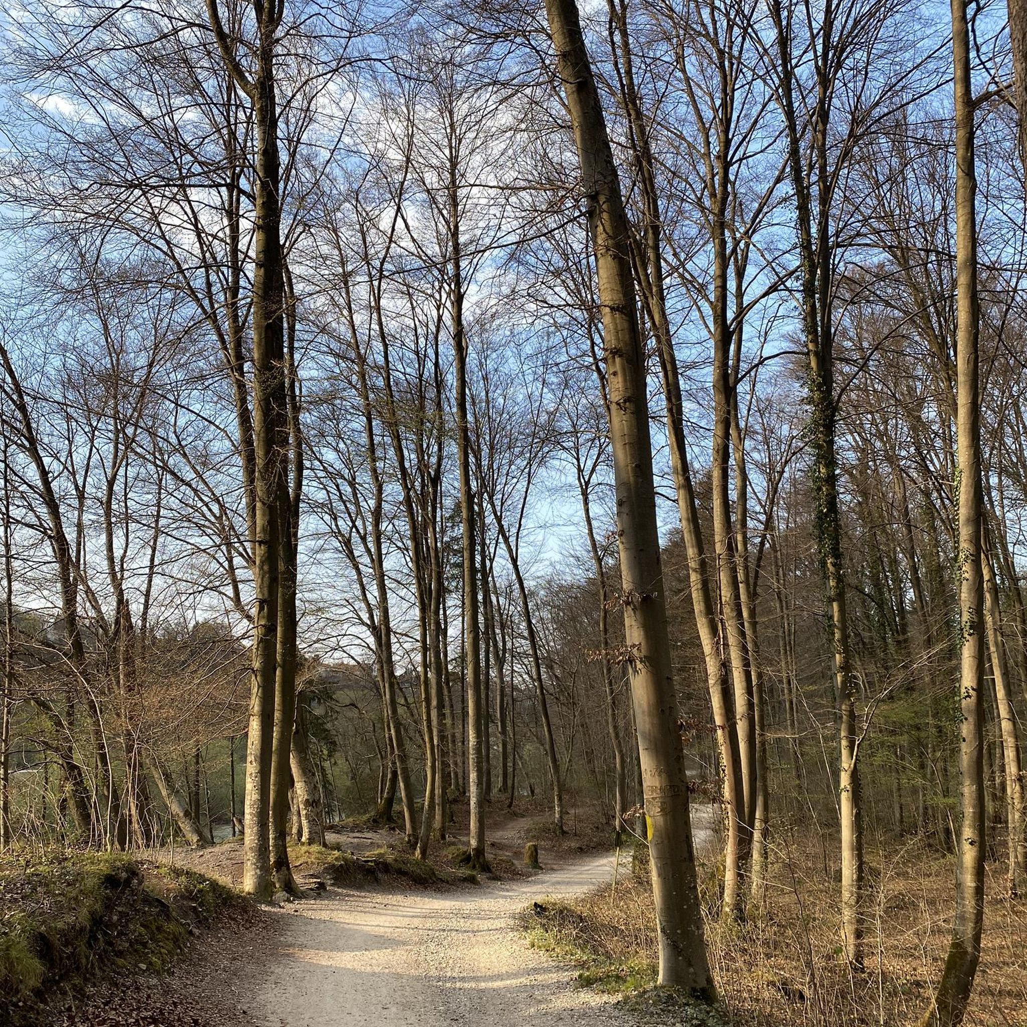
Family-friendly hikes in Chiricahua Wilderness
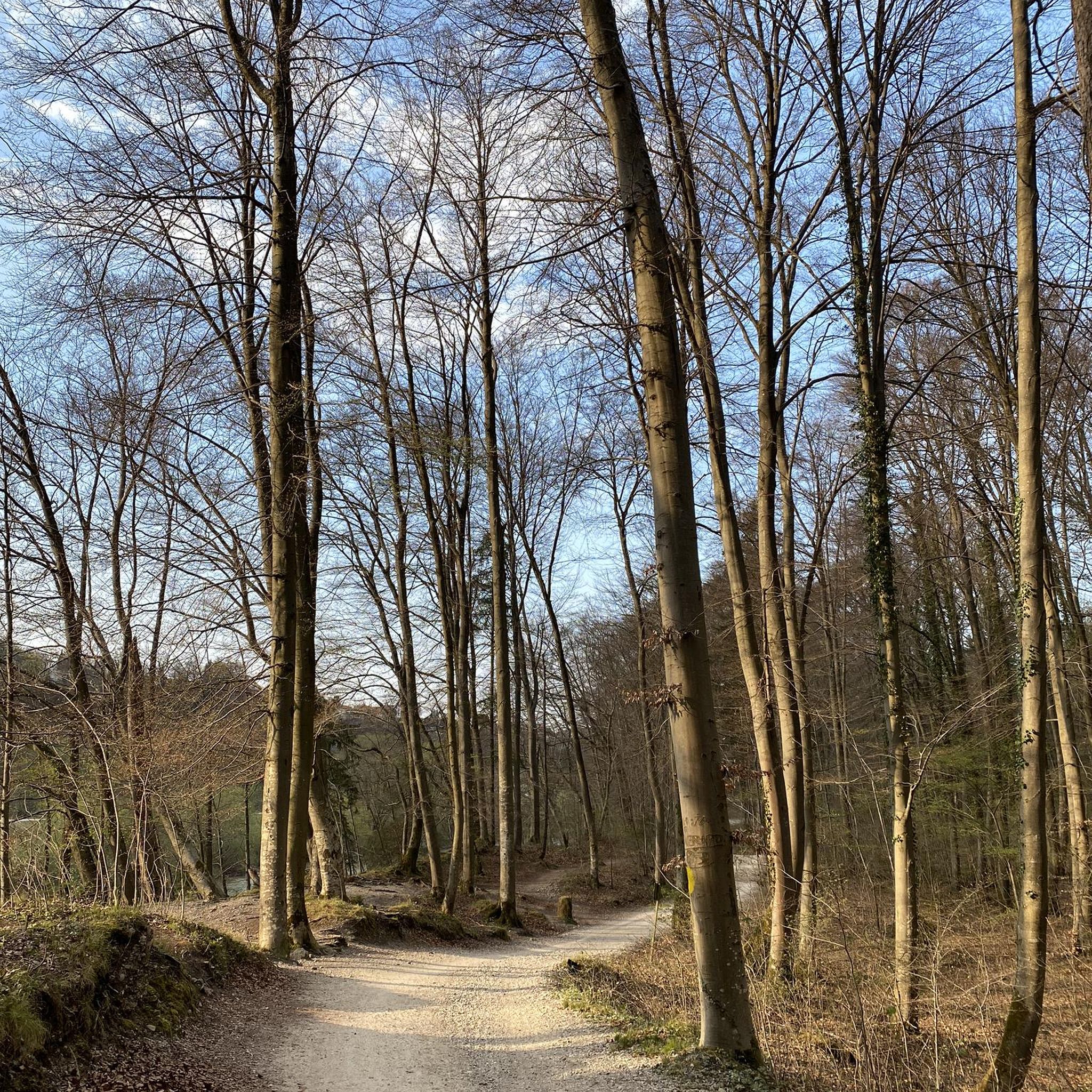
Family-friendly hikes in Chiricahua National Monument Wilderness
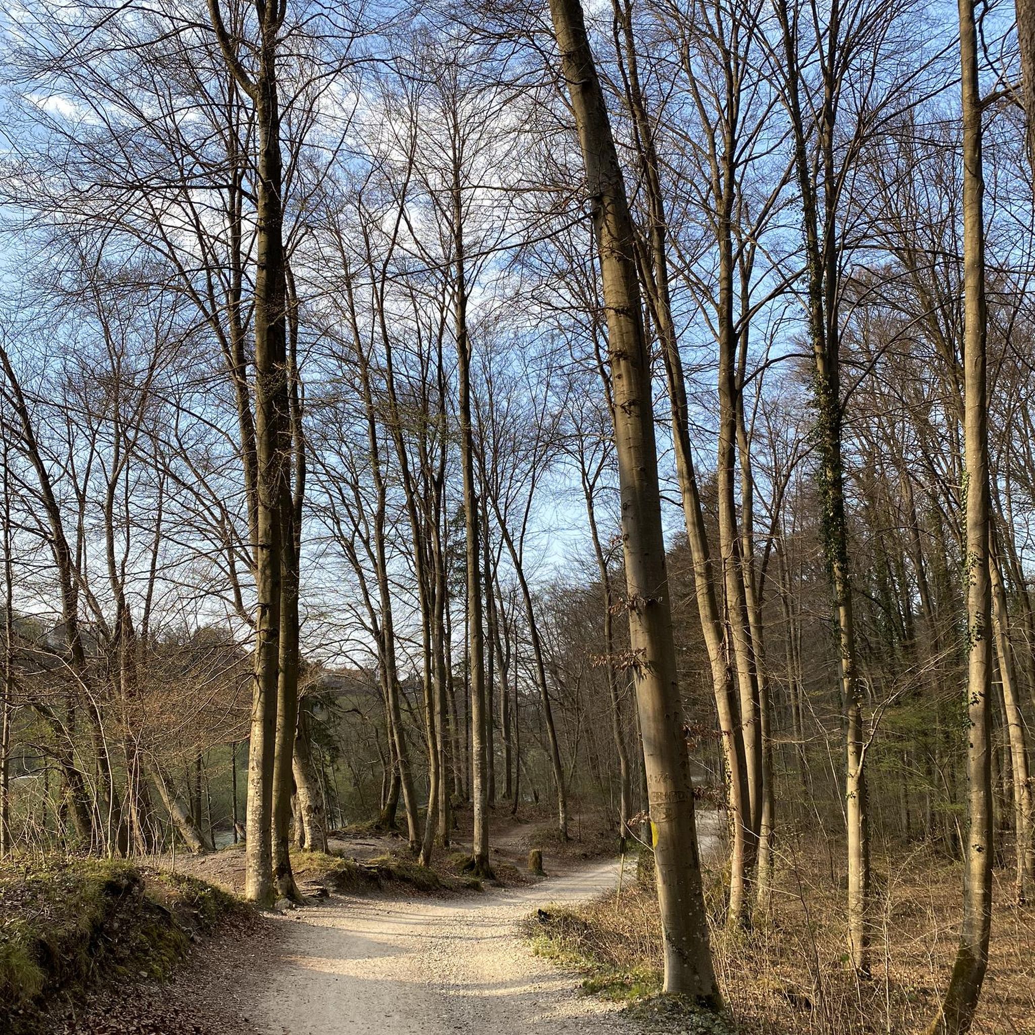
Family-friendly hikes around Chiricahura Peak

Family-friendly hikes around Sierra Vista Southeast

The Arizona Trail — From Mexico to Utah in 43 days

Arizona Trail — A beautiful 800-mile struggle


Tips from the Community

On the way to Tombstone, there's a small ghost town with houses dating back to the settlement of the area around 1875. Unfortunately, the houses are currently closed to the public. Still, it's worth a quick stop.
1
0

Highest point accessible by paved road in the park at this dead-end of Bonita Canyon Drive. The overlook has panoramic views to all sides, including the iconic rock gardens in Echo Park below, and the Chochise Mountain on the opposite side, that supposedly can look like the head of an Indian. The nature trail and the trails around the summit and the exhibits are bikeable; the trails into Echo Park are just for hiking.
0
0

Here, along the Mexico—US border is where an 800 mile long adventure begins. The Arizona Trail winds its way through deserts, canyons, and across mountain passes and traverses a wide array of ecosystems. And it all starts, or ends, right here.
0
0

the reward at the end of the road : www.cyclepass.com/t_paz_Massai_Point.html
0
0
From the pass there is a .4mile walk to Coronado Peak that shows all the views in this area even better than the pass itself: www.cyclepass.com/t_paz_Montezuma_Pass.html
0
0

Superb view, and possible departure from this point to do the small or large loop allowing you to discover the entire park and its magnificent landscapes. The parking lot is not very big so arrive early. There are dry toilets.
0
0

The Grand Central Mill was built in 1880 and processed silver ore. The mill was in service for 9 years and is now only ruins.
0
0

Brown Canyon Ranch House offers a unique look into history. The decor and home haven't changed for decades and you can tour both the house and surrounding trail. There are also some nice picnic spots here. From here you start the MTB Loop in Brown Canyon.
1
0
Frequently Asked Questions
How many family-friendly hiking trails can we explore in Cochise County?
Cochise County offers a great selection of family-friendly hiking trails, with nearly 30 routes available. You'll find a good mix of difficulties, including 14 easy trails perfect for younger children or leisurely strolls, and 13 moderate options for families looking for a bit more adventure.
What is the best time of year for family hikes in Cochise County?
Cochise County generally offers pleasant hiking conditions year-round. However, the spring (March-May) and fall (September-November) are particularly ideal, with mild temperatures perfect for families. Summer can be hot, especially at lower elevations, so early morning hikes are recommended. Winter offers cool, crisp air, and trails are often less crowded.
Are there any notable landmarks or viewpoints along the family-friendly trails?
Yes, Cochise County is rich with dramatic landscapes and unique features. Many trails offer access to stunning viewpoints like Massai Point in Chiricahua National Monument, known for its 'Wonderland of Rocks.' You can also find impressive peaks such as Miller Peak and Carr Peak, or explore historic passes like Montezuma Pass.
What do other hikers enjoy most about family-friendly hiking in Cochise County?
The komoot community highly rates the family-friendly trails in Cochise County, with an average score of 4.7 stars. Hikers often praise the diverse scenery, from desert grasslands to 'Sky Island' mountain forests, and the unique rock formations found in areas like Chiricahua National Monument. The well-maintained paths and opportunities for wildlife spotting are also frequently mentioned.
Are there any easy, short loop trails suitable for families with young children?
Absolutely! For an easy and relatively short loop, consider the Fairbank Loop via San Pedro Trail. This easy route covers about 6.6 km (4.1 miles) with minimal elevation gain, making it perfect for a leisurely family outing. It's a great way to experience the riparian ecosystem along the San Pedro River.
Are dogs allowed on the family-friendly hiking trails in Cochise County?
Many trails in Cochise County are dog-friendly, but regulations can vary by specific park or wilderness area. It's always best to check the local rules for the trail you plan to hike. Generally, dogs are welcome on leash in most parts of the Coronado National Forest, but areas like Chiricahua National Monument have stricter rules regarding pets on trails.
Are there any trails with waterfalls or significant water features?
While Cochise County is primarily a desert region, the 'Sky Islands' and riparian areas do offer some seasonal water features. The San Pedro Riparian National Conservation Area, for example, features the San Pedro River, a rare desert oasis. During monsoon season or after significant rainfall, some canyons in the mountain ranges might have temporary waterfalls, but these are not typically permanent features.
What kind of wildlife might we see on family hikes?
Cochise County is a biodiversity hotspot! Depending on the trail and season, your family might spot a variety of birds, including hummingbirds in places like Ramsey Canyon Preserve, and raptors soaring overhead. Desert wildlife like javelina, deer, and various reptiles are also common. Remember to observe from a distance and never feed wild animals.
What should we wear and bring for hiking with kids in Cochise County?
Layered clothing is always a good idea due to temperature fluctuations. Sturdy, comfortable shoes are essential. Don't forget hats, sunscreen, and plenty of water for everyone, especially in warmer months. Snacks, a first-aid kit, and a map or GPS device are also highly recommended. Binoculars can enhance wildlife viewing for kids!
Are there any longer, more challenging family-friendly hikes for older children?
For families with older children looking for a more substantial adventure, the Heart of Rocks from Echo Canyon Trailhead is a fantastic moderate option. This 12.9 km (8-mile) loop in Chiricahua National Monument offers stunning rock formations and a good workout, with an elevation gain of nearly 500 meters (1,640 feet).
Is parking readily available at trailheads?
Most trailheads in Cochise County, especially those within state parks, national monuments, or national forests, offer designated parking areas. Some popular spots, particularly on weekends, might fill up, so arriving early is advisable. Always check specific park websites for any parking fees or permit requirements before your visit.
Can we find places to eat or stay near the hiking trails?
Yes, Cochise County has several charming towns like Bisbee, Tombstone, and Sierra Vista that offer a range of dining options from casual eateries to local restaurants. You'll also find various accommodations, including hotels, motels, and campgrounds, providing convenient bases for exploring the hiking trails. It's a good idea to check options in the town closest to your chosen hiking area.
Most popular attractions in Cochise County

Get inspired with the komoot mobile app


Didn’t find what you were looking for?
Check out more Hikes throughout Cochise County below and find the perfect route in your destination.
Explore more
Browse the best Hikes in other regions.
