The best road cycling routes in Cochise County
5.0
(2)
133
riders
11
rides
Road cycling in Cochise County offers diverse terrain, characterized by "Sky Island" mountain ranges rising from desert lowlands, extensive grasslands, and riparian areas. Routes feature dramatic elevation changes, from flat paved paths in Sierra Vista to challenging climbs over passes like Mule Pass. The region's landscape includes historic towns such as Bisbee and Tombstone, vineyards, and unique geological formations, providing varied backdrops for rides. This combination of features makes Cochise County a destination for road cyclists seeking varied experiences.
Best road cycling routes in Cochise County
- The most popular road cycling route is Sacramento Hill – Quality Hill loop from Sierra Vista, a 61.9 miles (99.6 km) trail that takes 4 hours 26 minutes to complete. This difficult route showcases scenic grasslands and historical sites.
- Another top favourite among local road cyclists is Roadbike loop from The Mall at Sierra Vista, a moderate 53.3 miles (85.8 km) path. This route offers varied terrain around Sierra Vista, suitable for different fitness levels.
- Local road cyclists also love the Roadbike loop from Garden Canyon Linear Park, a 16.1 miles (25.9 km) trail leading through the Sierra Vista area, often completed in about 1 hour 19 minutes.
- Road cycling in Cochise County is defined by "Sky Island" mountains, vast grasslands, and historic towns. The network offers options for different ability levels, from easy paved paths to challenging climbs.
- The routes in Cochise County are highly rated by the komoot community with an average score of 5.0 stars from over 2 reviews. More than 121 road cyclists have used komoot to explore Cochise County's varied terrain.
Last updated: August 21, 2026
51
riders
99.6km
04:27
940m
940m
Hard road ride. Very good fitness required. Mostly well-paved surfaces and easy to ride.
17
riders
97.2km
04:25
980m
980m
Hard road ride. Very good fitness required. Mostly well-paved surfaces and easy to ride.

Sign up for free
13
riders
85.6km
03:58
560m
560m
Moderate road ride. Good fitness required. Mostly well-paved surfaces and easy to ride.
10
riders
31.8km
01:38
340m
330m
Moderate road ride. Good fitness required. Mostly well-paved surfaces and easy to ride.
5.0
(1)
8
riders
60.5km
02:39
330m
330m
Moderate road ride. Good fitness required. Mostly well-paved surfaces and easy to ride.
4
riders
61.0km
02:33
460m
460m
Moderate road ride. Good fitness required. Mostly well-paved surfaces and easy to ride.
7
riders
35.3km
01:33
180m
180m
Easy road ride. Great for any fitness level. Mostly well-paved surfaces and easy to ride.
9
riders
25.9km
01:20
120m
120m
Easy road ride. Great for any fitness level. Mostly well-paved surfaces and easy to ride.
5.0
(1)
6
riders
Moderate road ride. Good fitness required. Mostly well-paved surfaces and easy to ride.
Get access to more routes and recommendations from other explorers.
Sign up for free
Already have an account?
Our route recommendations are based on thousands of hikes, rides, and runs completed by other people on komoot.
Start today with a free account
Your next adventure awaits.
Login or Signup
Popular around Cochise County
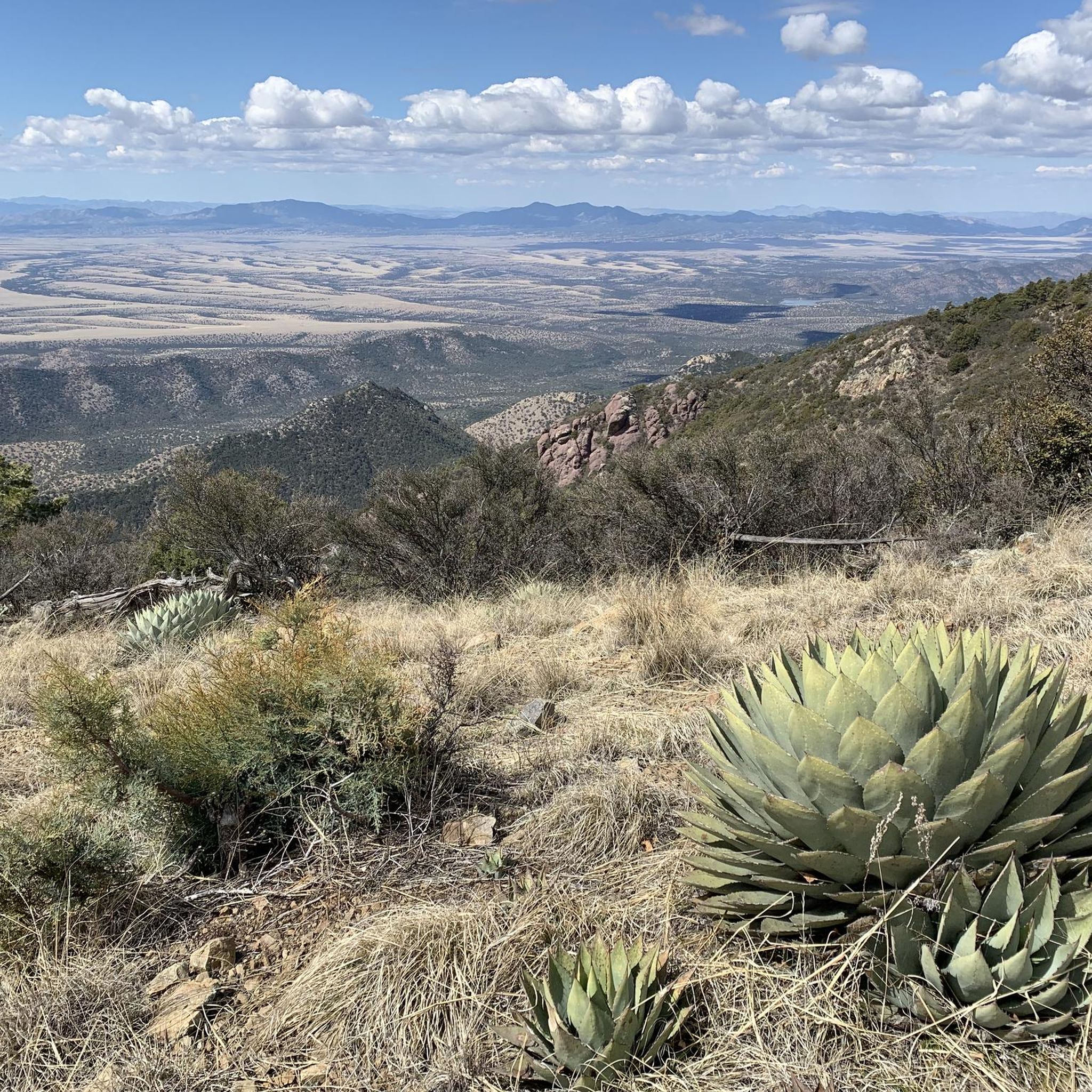
Road Cycling Routes in Coronado National Forest
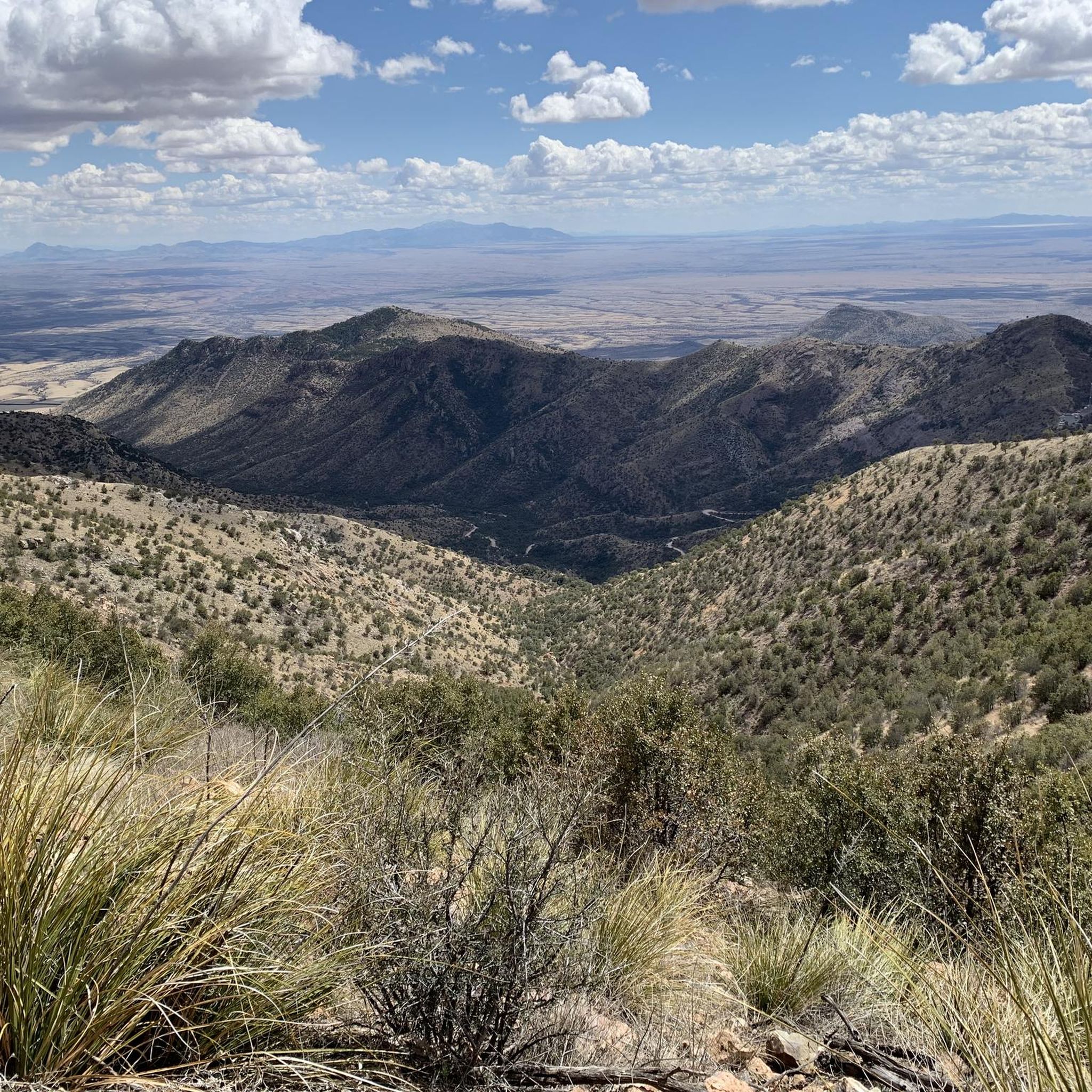
Road Cycling Routes around Sierra Vista
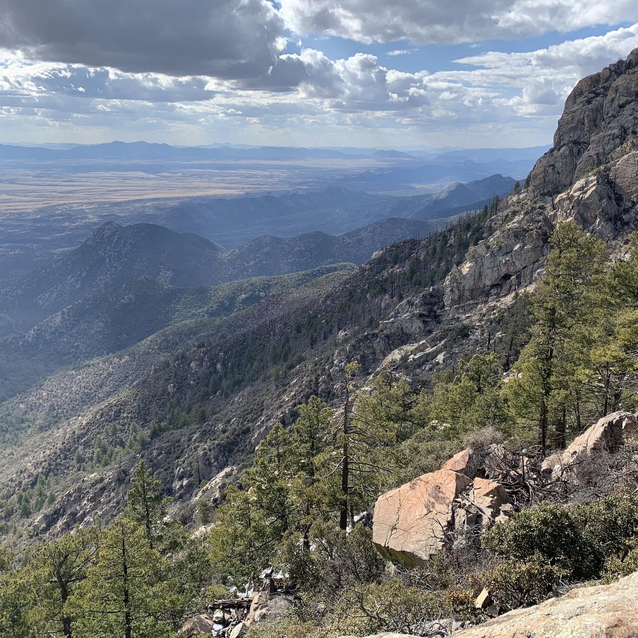
Road Cycling Routes around Sierra Vista Southeast

Arizona Trail — A beautiful 800-mile struggle

The Arizona Trail — From Mexico to Utah in 43 days
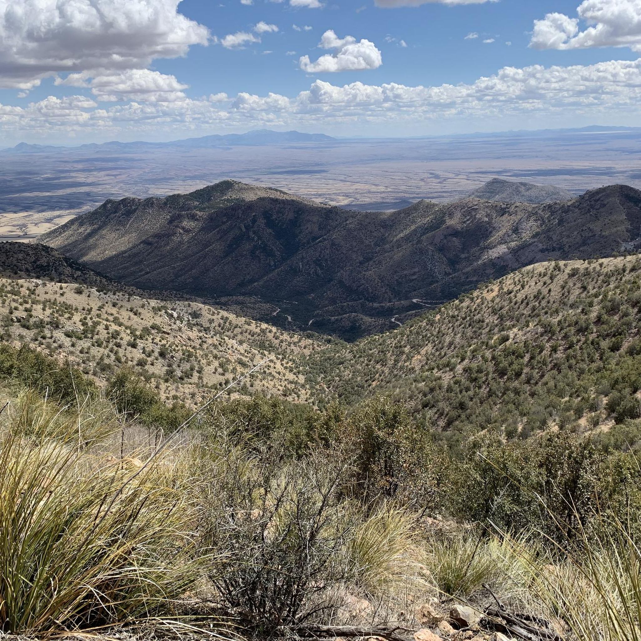
Hiking in Cochise County
MTB Trails in Cochise County
Running Trails in Cochise County
Cycling in Cochise County


Tips from the Community

Spectacular views from the small ring road around the summit hut and the terrace. Trails go down into the rocky canyon. There are more exhibits a few yards to the north.
0
0
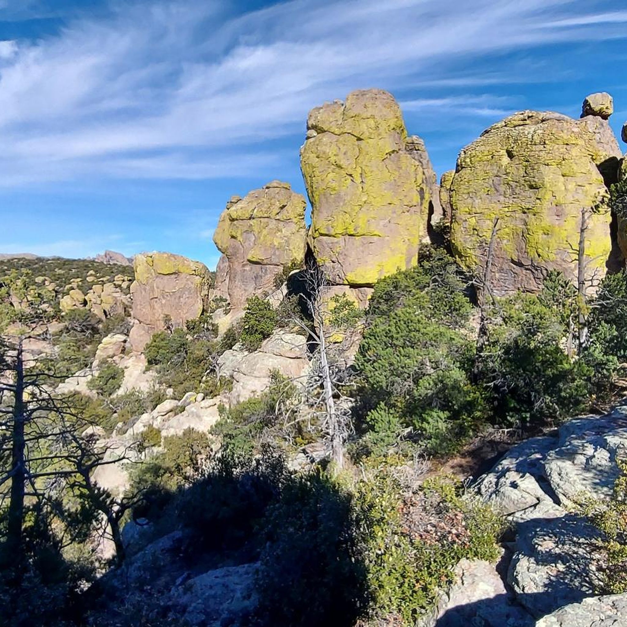
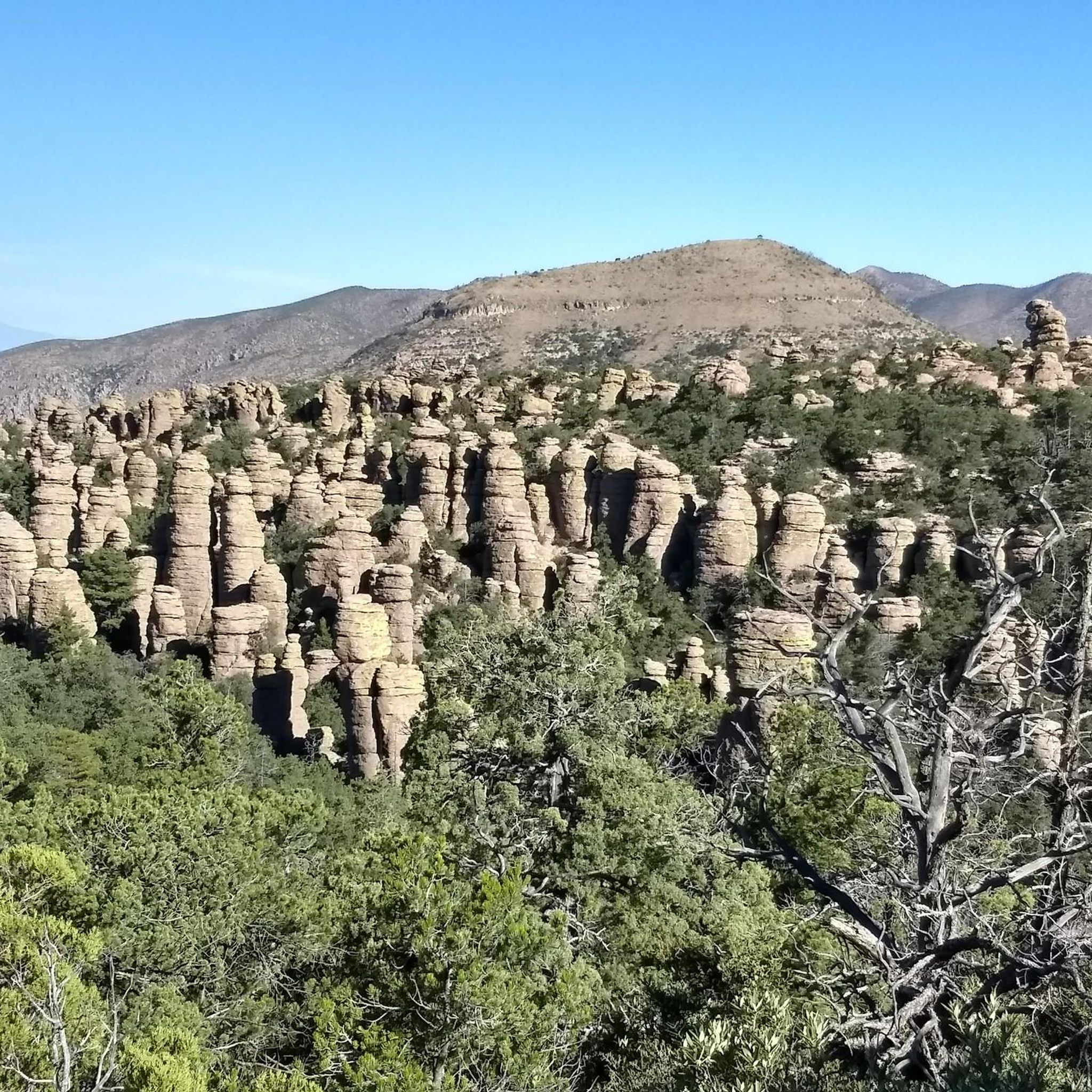
Tall rock columns rise along the canyon walls. The mostly smooth section makes it easier to take in the scenery.
0
0
Cool formation of tall rock columns on the canyon wall, just off the road
0
0
The visitor center, on the right 3.5 miles on Bonita Canyon Dr after the West entrance, is open from 8:30 am to 4:30 pm. It has an information desk, museum, park film, and gift shop. It provides free maps, junior ranger booklets, and information. The museum area includes geology, biodiversity, and human history exhibits. Its architecture showcases Civilian Conservation Corps rock work and "Mission 66" architecture. The park store offers shirts, books, stickers, magnets and other collectibles to remember your visit.
0
0
Trailhead off Bonita Canyon Drive for the singletrack trail that winds around to the north, then west, to reach Natural Bridge. It's technically a hiking trail, you can leave bikes a bit away from the road.
0
0

the reward at the end of the road : www.cyclepass.com/t_paz_Massai_Point.html
0
0

Here, visitors may learn about the preserve and its wild residents, the Upper San Pedro River Program, and the Conservancy by viewing interpretive exhibits, shopping in the bookstore, or simply enjoying the beauty of the lower canyon. Please note, in consideration of canyon wildlife, pets are prohibited in the preserve. Additionally, parking is limited to 27 spaces and is available on a first-come, first-served basis. There is no parking along the road below the preserve.
1
0
Frequently Asked Questions
How many road cycling routes are available in Cochise County?
Cochise County offers a diverse selection of 11 road cycling routes, catering to various skill levels. These include 2 easy, 6 moderate, and 3 difficult routes, ensuring options for every cyclist.
What is the best time of year for road cycling in Cochise County?
Cochise County boasts year-round pleasant weather, making it suitable for road cycling in all seasons. Cyclists can enjoy the varied terrain and scenic views throughout the year.
Are there road cycling routes suitable for beginners or families in Cochise County?
Yes, Cochise County has several options ideal for beginners and families. The Roadbike loop from Garden Canyon Linear Park is an easy 16.1-mile route, and the Roadbike loop from Sierra Vista Estates is another easy 21.9-mile option. The Mall Loop in Sierra Vista is also known as a family-friendly, mostly flat 5-mile paved path.
What kind of challenges can advanced road cyclists expect in Cochise County?
Advanced cyclists will find challenging routes with significant elevation gains. The Sacramento Hill – Quality Hill loop from Sierra Vista is a difficult 61.9-mile route with over 3,000 feet of elevation gain. Similarly, the Canelo loop covers 50.3 miles with over 3,200 feet of climbing, offering a demanding experience.
Are there any long-distance road cycling routes in the area?
For those seeking longer rides, Cochise County offers several extensive routes. The Sacramento Hill – Quality Hill loop from Sierra Vista is 61.9 miles, and the Sacramento Hill – School Hill loop from Bisbee is 61.1 miles. These routes showcase scenic grasslands and historical sites, providing a full day's adventure.
What are some notable landmarks or attractions I can see along road cycling routes in Cochise County?
Cochise County's routes pass by numerous points of interest. You can cycle near historic towns like Bisbee and Tombstone, or explore natural wonders. For instance, the Ramsey Canyon Preserve loop from Sierra Vista leads to Ramsey Canyon, famous for its diverse wildlife. Other attractions in the region include Massai Point and Big Balanced Rock Trail, offering stunning views and unique geological formations.
Are there any loop road cycling routes in Cochise County?
Many of the road cycling routes in Cochise County are designed as loops, providing a convenient way to explore the region without retracing your path. Examples include the Roadbike loop from The Mall at Sierra Vista, the Roadbike loop from San Pedro House, and the Roadbike loop from AmeriGas Propane.
What kind of terrain can I expect while road cycling in Cochise County?
Cochise County offers incredibly diverse terrain, characterized by 'Sky Island' mountain ranges rising from desert lowlands, extensive grasslands, and riparian areas. You'll encounter dramatic elevation changes, from flat paved paths in Sierra Vista to challenging climbs over passes like Mule Pass, and scenic routes through vineyards.
Where can I find parking for road cycling routes in Cochise County?
Many routes originate from towns like Sierra Vista and Bisbee, where parking is generally available. For example, the Roadbike loop from Garden Canyon Linear Park starts from a park, which typically offers parking facilities. Routes originating from 'The Mall at Sierra Vista' or 'Sierra Vista Estates' also imply accessible starting points with parking.
What do other road cyclists enjoy the most about road cycling in Cochise County?
The area is highly rated by the komoot community, with an average score of 5.0 stars. Reviewers often praise the diverse terrain, from challenging mountain climbs to scenic routes through grasslands and historic towns, as well as the minimal traffic and supportive cycling culture.
Are there any routes that pass through historic towns?
Yes, several routes offer a chance to experience the region's rich history. The Bisbee Loop is a popular route that takes cyclists directly through the historic town of Bisbee. The Tombstone Loop also includes a visit to the famous Old West town of Tombstone, allowing for stops and exploration.
Can I combine a road cycling trip with other outdoor activities in Cochise County?
Absolutely. Cochise County is rich in outdoor attractions. Many cycling routes are near areas known for hiking, birdwatching (like Ramsey Canyon Preserve), or exploring unique geological formations such as Kartchner Caverns State Park or Chiricahua National Monument. You can easily plan a multi-activity trip.
Most popular attractions in Cochise County

Get inspired with the komoot mobile app


Didn’t find what you were looking for?
Check out more Road cycling routes throughout Cochise County below and find the perfect route in your destination.
Explore more
Browse the best Road cycling routes in other regions.
