The best hikes from bus stations around Gran Canaria
4.3
(35240)
159,126
hikers
1,314
hikes
Hiking around Gran Canaria offers a diverse landscape, often referred to as a "Miniature Continent," characterized by its volcanic origins. The island features rugged mountains, extensive pine forests, deep ravines, and dramatic coastal cliffs. These varied terrains provide a wide range of bus station hiking trails, from challenging mountain paths to scenic coastal walks.
Best bus station hiking trails around Gran Canaria
- The most popular bus station hiking route is Doramas Rural Park - Azuaje Ravine loop, a 3.3 miles (5.3 km) trail that takes 1 hour 53 minutes to complete, leading through a rural park and a notable ravine.
- Another top favourite among local hikers is La Isleta Peninsula and Las Canteras Beach Trail, a moderate 9.1 miles (14.7 km) path. This route explores the peninsula and follows the scenic Las Canteras Beach.
- Local hikers also love the View of Pico de Bandama – Bandama Ridge Trail loop from Pico de Bandama, a 3.6 miles (5.8 km) trail leading through volcanic terrain around Pico de Bandama, often completed in about 2 hours 0 minutes.
- Hiking around Gran Canaria is defined by volcanic formations, pine forests, and deep ravines. The island's network of routes offers options for different ability levels, from leisurely walks to more strenuous treks.
- The routes in Gran Canaria are highly rated by the komoot community with an average score of 4.3 stars from more than 32,000 reviews. More than 147,000 hikers have used komoot to explore Gran Canaria's varied terrain.
Last updated: June 23, 2026
4.7
(222)
584
hikers
5.31km
01:53
240m
240m
Hard hike. Great for any fitness level. Sure-footedness, sturdy shoes and alpine experience required.
4.7
(97)
425
hikers
14.7km
03:54
150m
150m
Moderate hike. Good fitness required. Easily-accessible paths. Suitable for all skill levels.

Sign up for free
4.7
(905)
3,691
hikers
5.74km
02:00
210m
210m
Moderate hike. Great for any fitness level. Mostly accessible paths. Sure-footedness required.
4.7
(1047)
4,194
hikers
5.75km
02:04
250m
250m
Moderate hike. Good fitness required. Mostly accessible paths. Sure-footedness required.
4.5
(541)
1,780
hikers
10.4km
03:04
300m
300m
Moderate hike. Good fitness required. Easily-accessible paths. Suitable for all skill levels.
Get access to more routes and recommendations from other explorers.
Sign up for free
Already have an account?
Our route recommendations are based on thousands of hikes, rides, and runs completed by other people on komoot.
Start today with a free account
Your next adventure awaits.
Login or Signup
Popular around Gran Canaria

Hikes from bus stations in Tamadaba

Hikes from bus stations in Pilancones
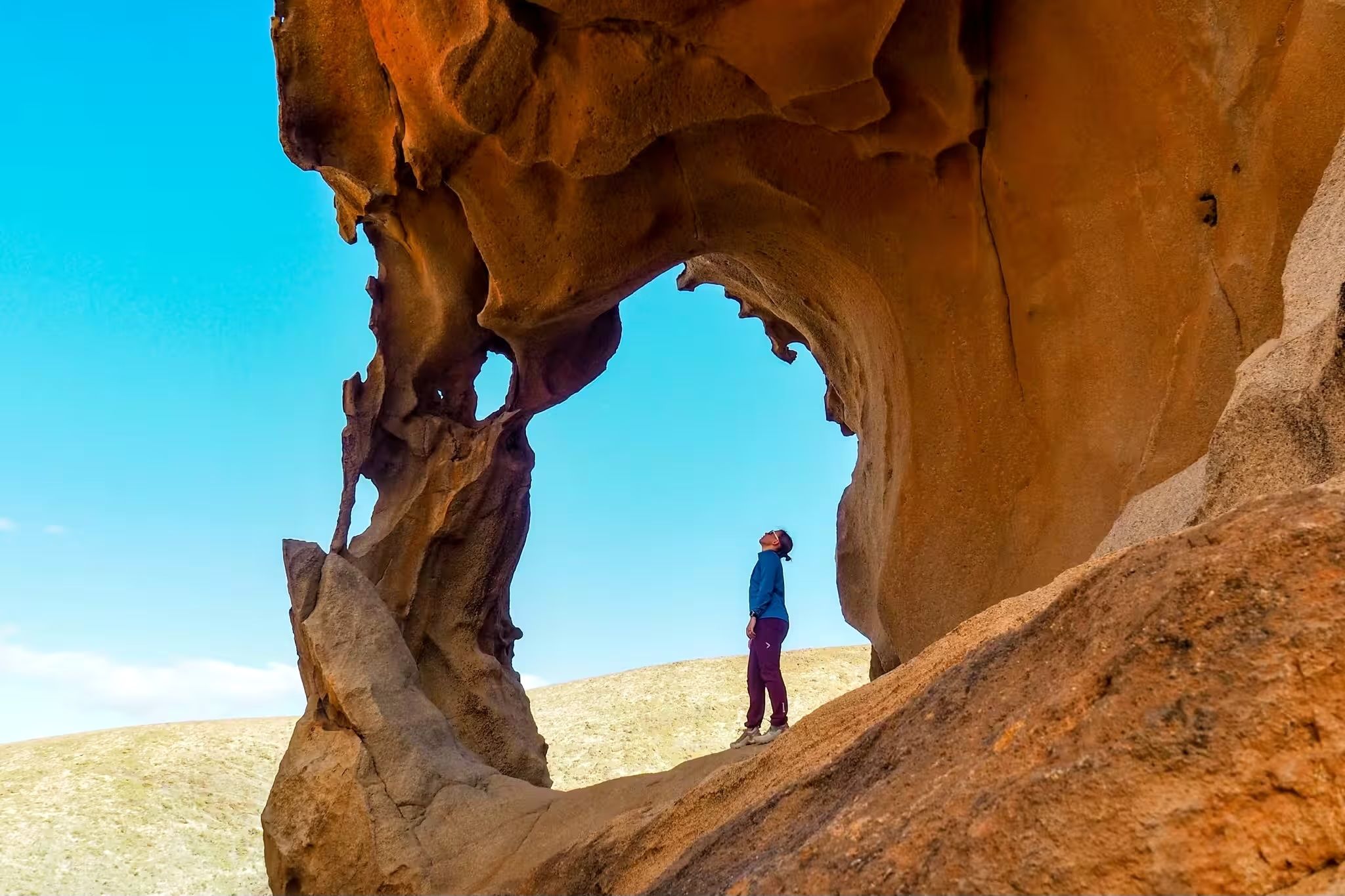
Canary Islands at a slow pace – six hikes immersed in nature
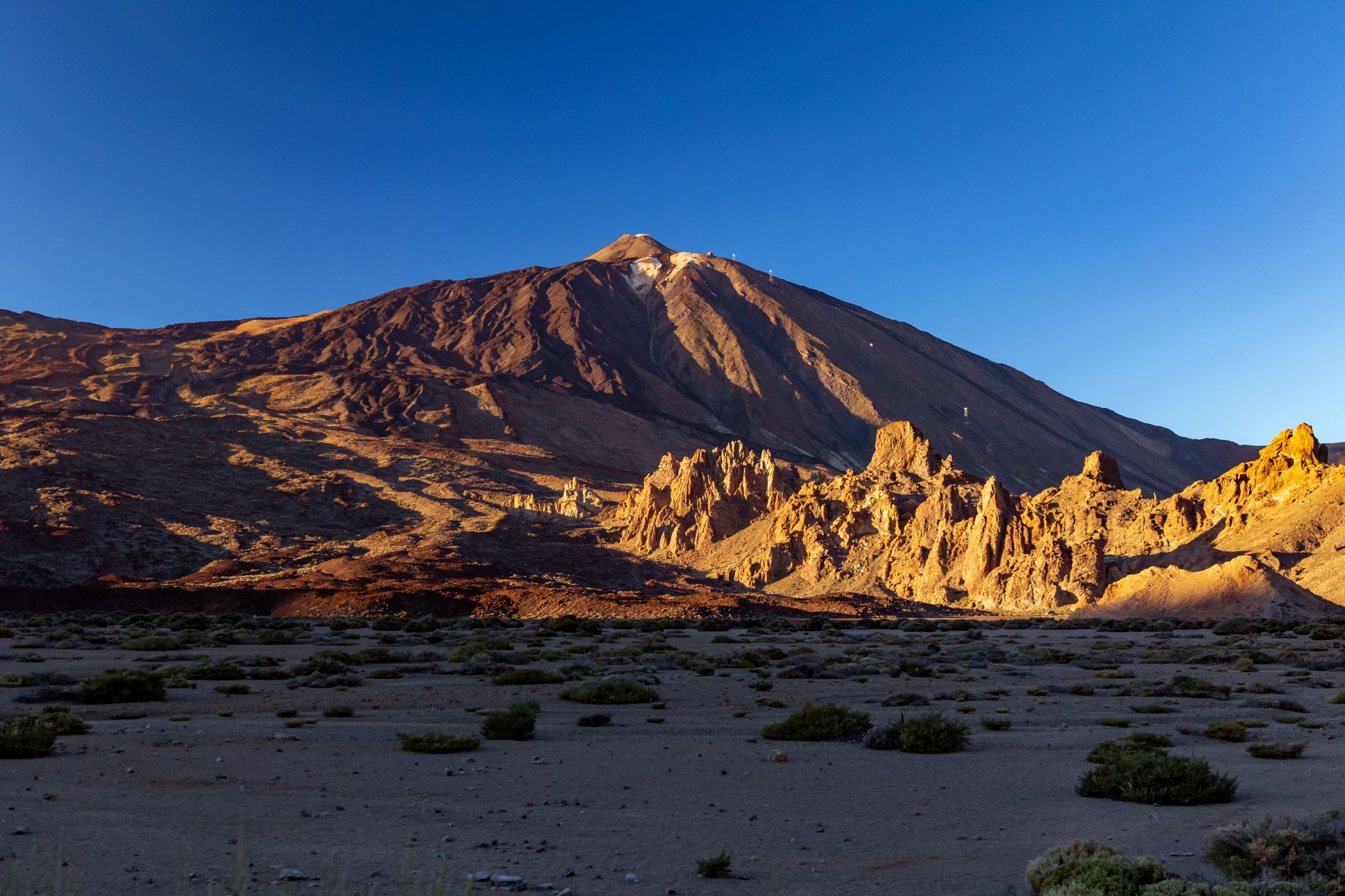
Six fascinating ways to discover the Canary Islands on foot
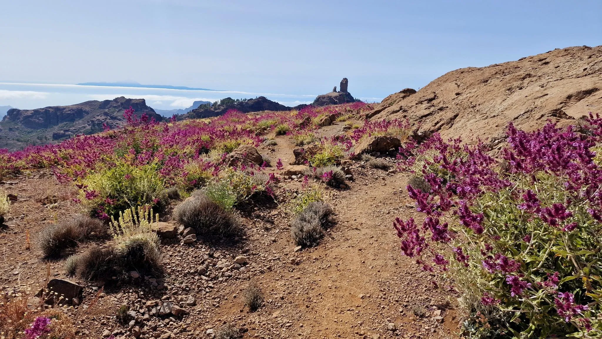
An island of contrasts – crossing Gran Canaria
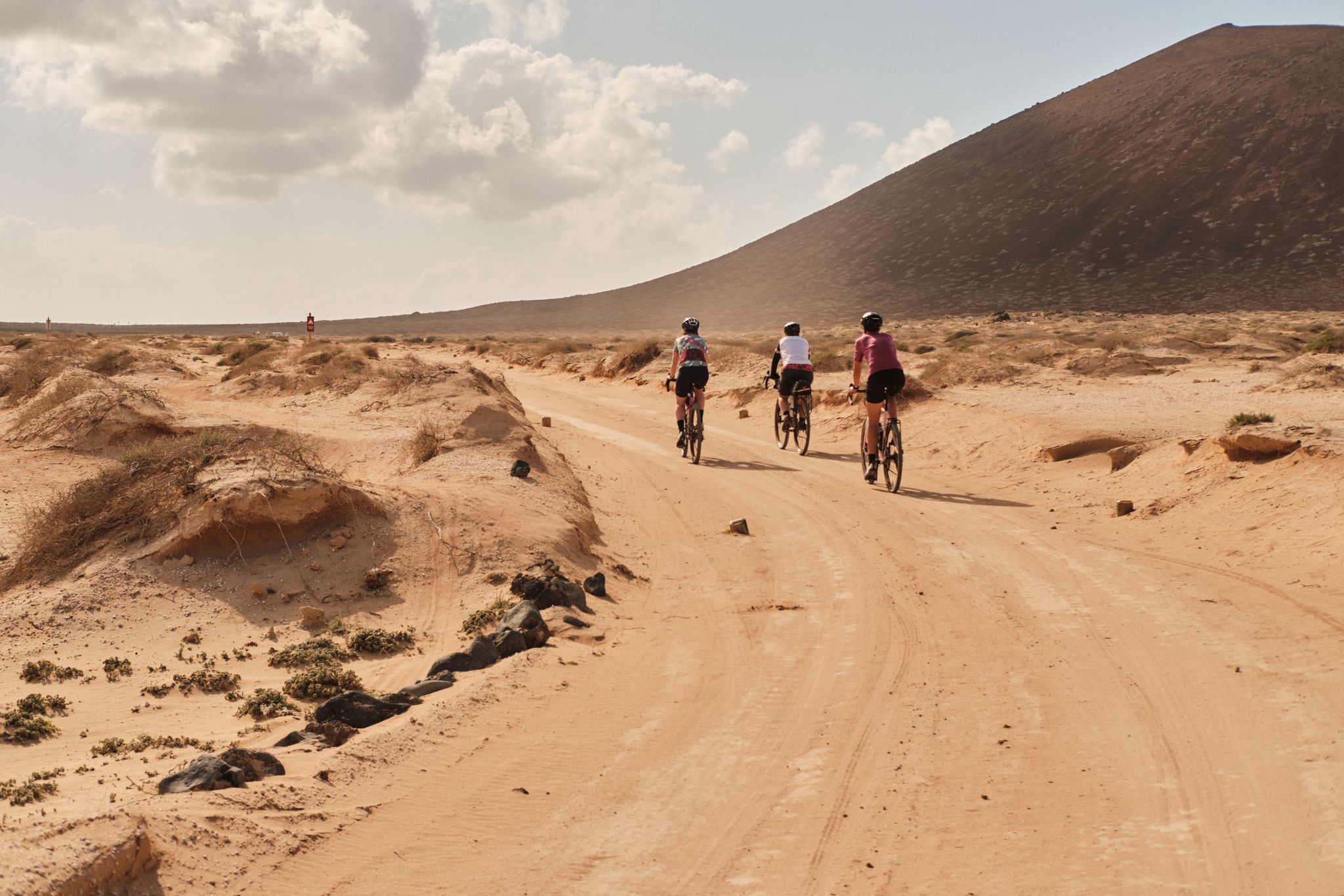
GranGuanche gravel – Komoot women's rally 2023
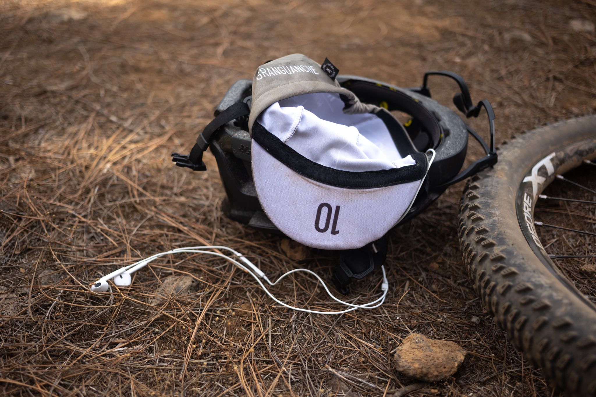
GranGuanche Audax Trail – my first ultra race on the Canary Islands
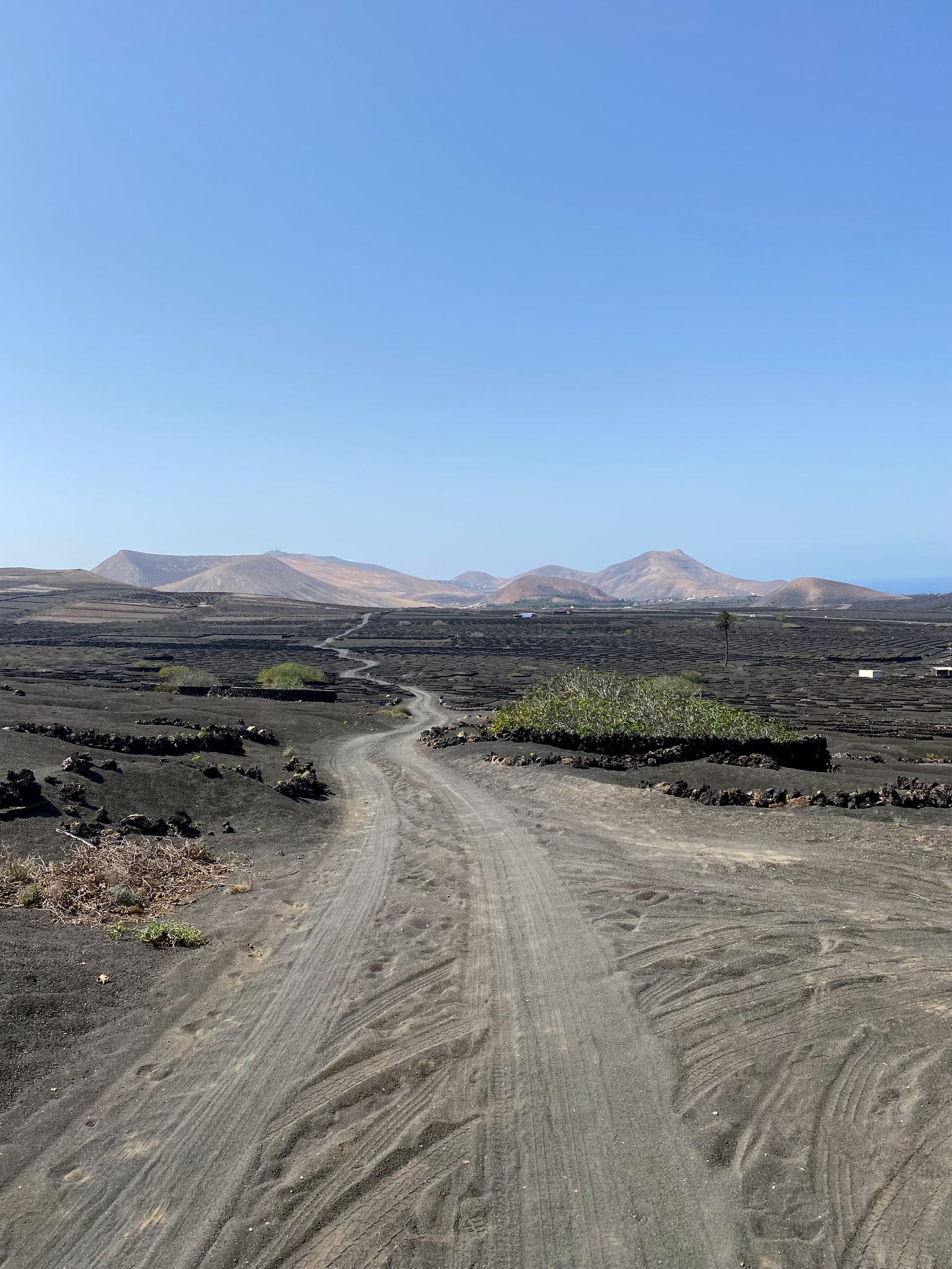
Bikepack in the Canary Islands – surprising adventures in the sun
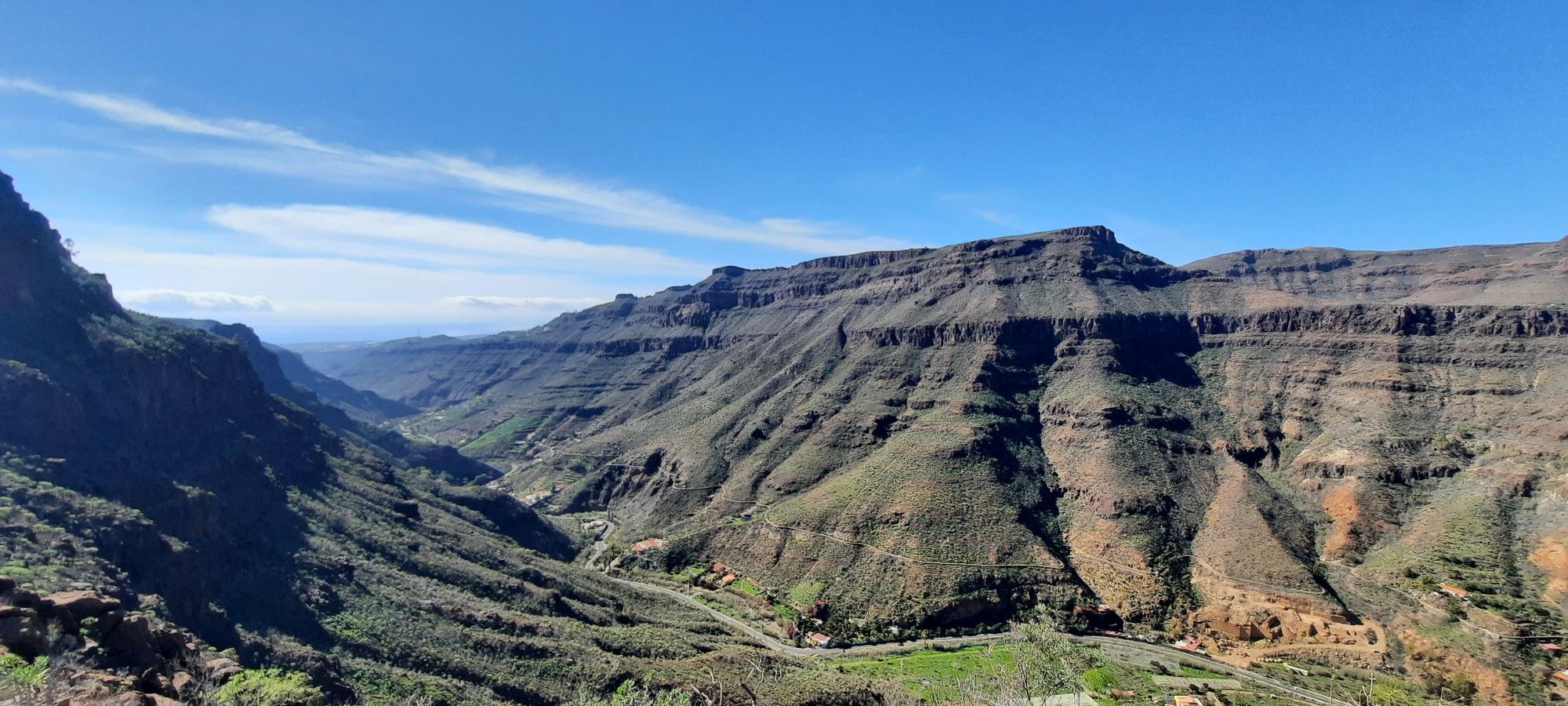
The challenge of the year — Transgrancanaria Classic
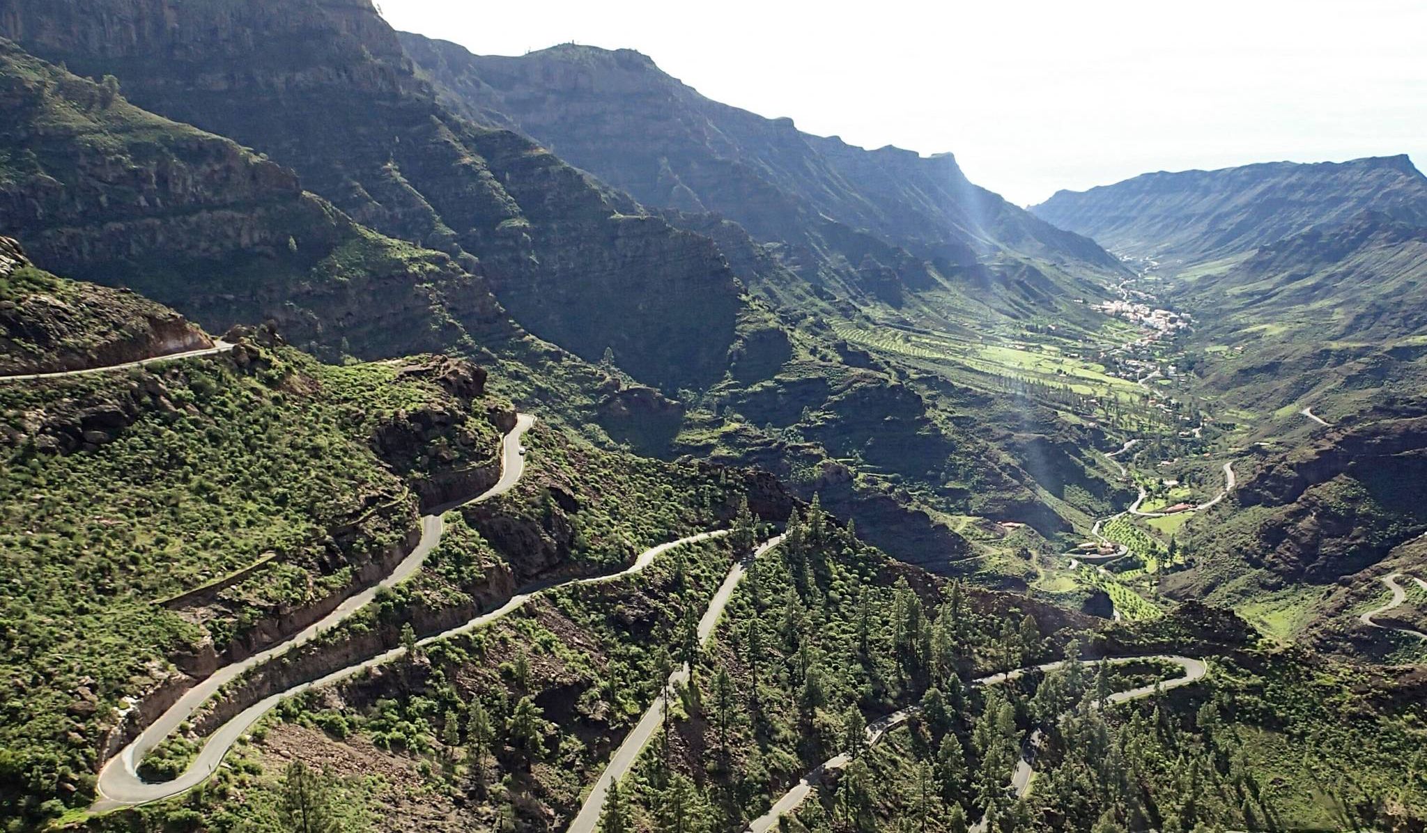
Escape to the south — road cycling in Gran Canaria
Other adventures around Gran Canaria


Tips from the Community

From here you have a beautiful view into the volcanic crater.
0
0
With well-profiled shoes, the ridge path presents no problems whatsoever.
1
0
The photos make it look worse than it is in reality. The ridge path is sufficiently wide and easy to walk for everyone with solid, well-profiled shoes.
0
0
Easy to walk with well-profiled shoes.
0
0

From here you have a great view of the mountains.
1
0
Rocky hiking trail to the Fortaleza. Sturdy footwear definitely makes sense here.
0
0
From here you have a beautiful view of the Presa de Tirajana
0
0
From here we have a beautiful view of the surrounding fields and the mountains in the background.
1
0
Frequently Asked Questions
How many bus-accessible hiking trails are available in Gran Canaria?
Gran Canaria offers a vast network of hiking trails accessible by bus, with over 1200 routes available. This includes more than 500 easy trails and nearly 600 moderate options, ensuring there's a suitable path for almost every hiker.
Are there easy or beginner-friendly hiking trails accessible by bus in Gran Canaria?
Yes, Gran Canaria has over 500 easy hiking trails that are accessible via public transport. These routes are perfect for beginners or those looking for a more relaxed walk. Many of these trails offer gentle inclines and well-maintained paths, allowing you to enjoy the island's diverse landscapes without strenuous effort.
Can I find family-friendly hiking routes from bus stations in Gran Canaria?
Absolutely. Many of the easier trails are suitable for families. Look for routes with shorter distances and minimal elevation gain. The island's varied terrain means you can find pleasant walks through pine forests or along coastal paths that are enjoyable for all ages. Always check the route details for specific difficulty and duration.
Are bus-accessible hiking trails in Gran Canaria suitable for dogs?
While many trails in Gran Canaria are dog-friendly, it's always best to check local regulations for specific areas, especially within natural parks or protected zones. Generally, dogs should be kept on a leash, and you should carry water for them, especially on warmer days. Always clean up after your pet to preserve the natural environment.
Are there circular hiking routes that start and end at bus stations in Gran Canaria?
Yes, there are several excellent circular routes that can be accessed by bus. For example, the Doramas Rural Park - Azuaje Ravine loop offers a beautiful experience through lush landscapes. Another great option is the View of Pico de Bandama – Bandama Ridge Trail loop from Pico de Bandama, which provides stunning views of the volcanic caldera.
Which bus-accessible trails feature waterfalls or unique natural landscapes?
Gran Canaria's diverse geology means you can find trails with unique features. While specific bus routes to Barranco de los Cernícalos (known for waterfalls) might require a short walk from a bus stop, the island's volcanic origins are evident in many areas. For instance, trails around the Caldera de Bandama offer a chance to explore a large volcanic crater, providing a glimpse into the island's dramatic geological past.
What iconic landmarks or viewpoints can I reach via bus-accessible hikes?
Many of Gran Canaria's most iconic landmarks are accessible through hiking routes, often with bus connections nearby. While Roque Nublo and Pico de las Nieves are central, the Caldera de Bandama is a prominent volcanic crater with trails around its rim offering panoramic views. The La Isleta Peninsula and Las Canteras Beach Trail also provides coastal views and urban exploration.
What is the best time of year to hike Gran Canaria's bus-accessible trails?
Gran Canaria is known as a 'Miniature Continent' due to its diverse microclimates, making it suitable for hiking year-round. However, the cooler months from **October to May** are generally considered ideal, especially for inland and mountain trails, as temperatures are milder. During summer, coastal walks are more pleasant, but always start early to avoid the midday heat.
What should I wear and bring for hiking Gran Canaria's bus-accessible trails?
Given the varied terrain and microclimates, it's wise to dress in layers. Sturdy hiking shoes are essential, especially for rocky or uneven paths. Always carry sufficient water, sun protection (hat, sunscreen), and snacks. A waterproof jacket can be useful, particularly in the northern parts or at higher altitudes, as weather can change quickly.
Are there any coastal hiking trails accessible by bus in Gran Canaria?
Yes, Gran Canaria offers beautiful coastal hikes that are reachable by bus. The La Isleta Peninsula and Las Canteras Beach Trail is a great example, allowing you to explore the coastline and enjoy sea views. These trails often provide a different experience from the island's mountainous interior, with refreshing sea breezes and unique coastal flora.
What do other hikers enjoy the most about hiking in Gran Canaria?
The area is highly rated by the komoot community, with an average score of 4.3 stars. Reviewers often praise the incredible diversity of landscapes, from volcanic craters and pine forests to deep ravines and coastal paths. The well-maintained trails and the accessibility via public transport are also frequently highlighted, making it easy to explore the island's natural beauty.
Most popular routes around Gran Canaria

Get inspired with the komoot mobile app


Didn’t find what you were looking for?
Check out more Hikes throughout Gran Canaria below and find the perfect route in your destination.
Explore more
Browse the best Hikes in other regions.
