The best walks and hikes around Meißenheim
4.5
(397)
1,420
hikers
49
hikes
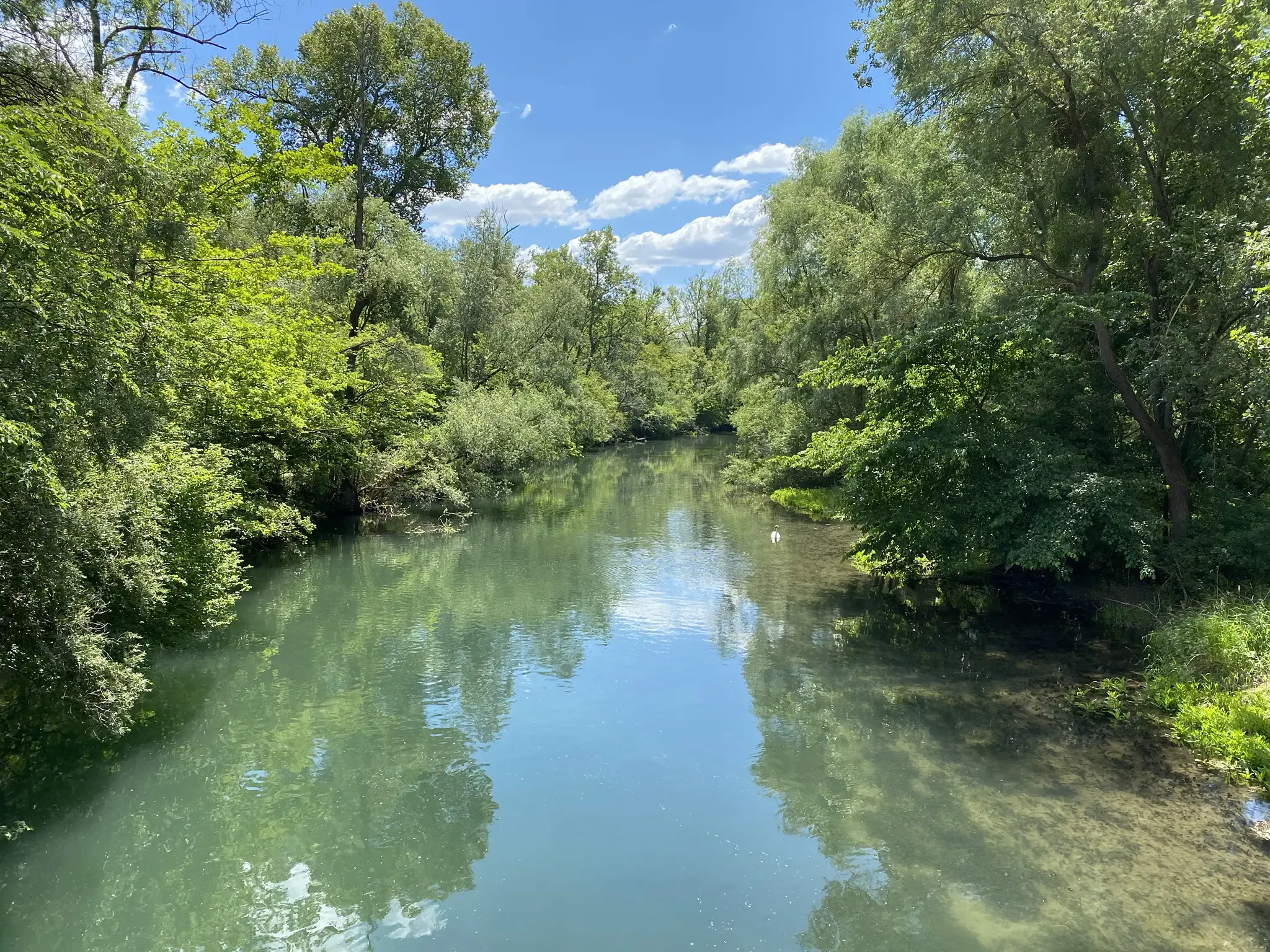
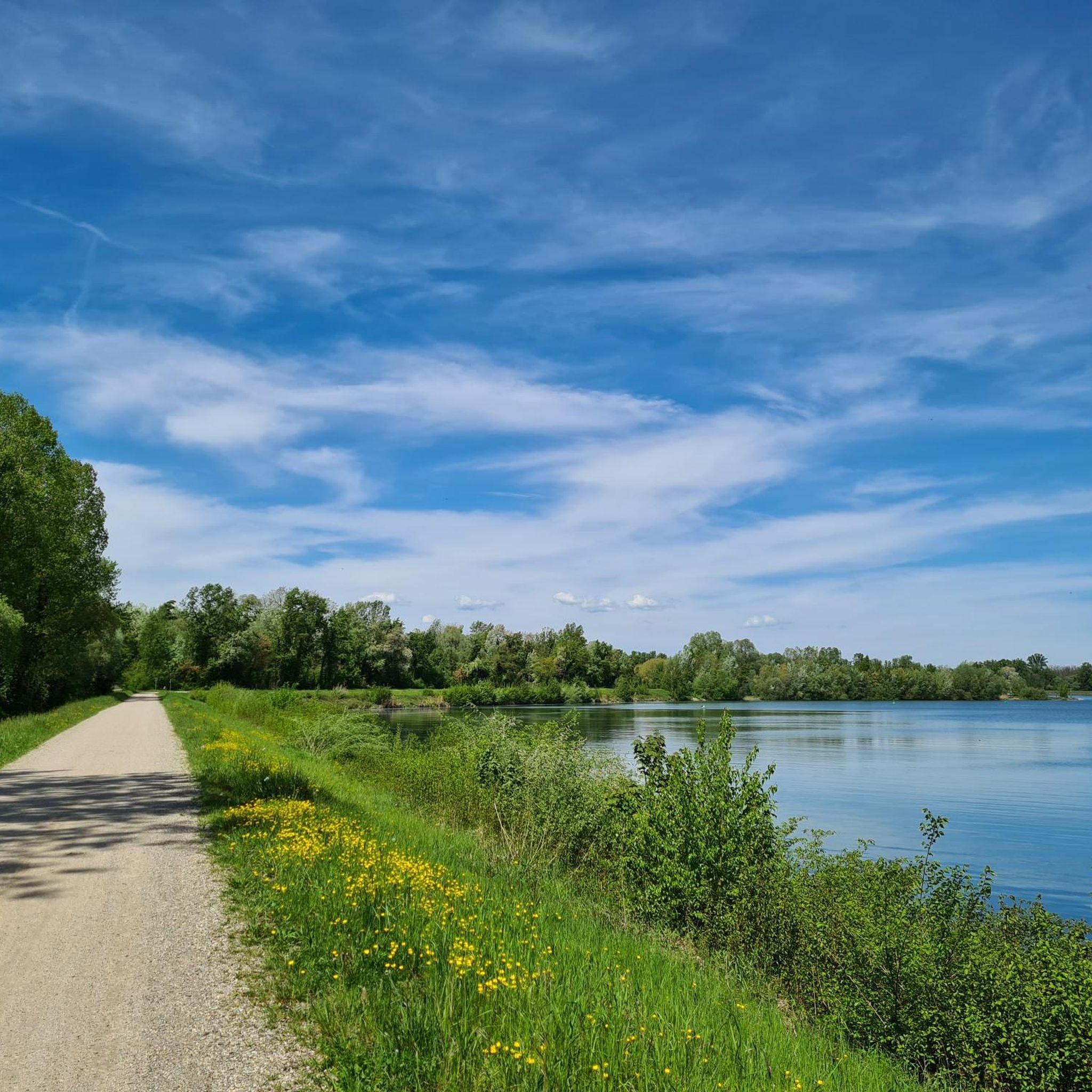
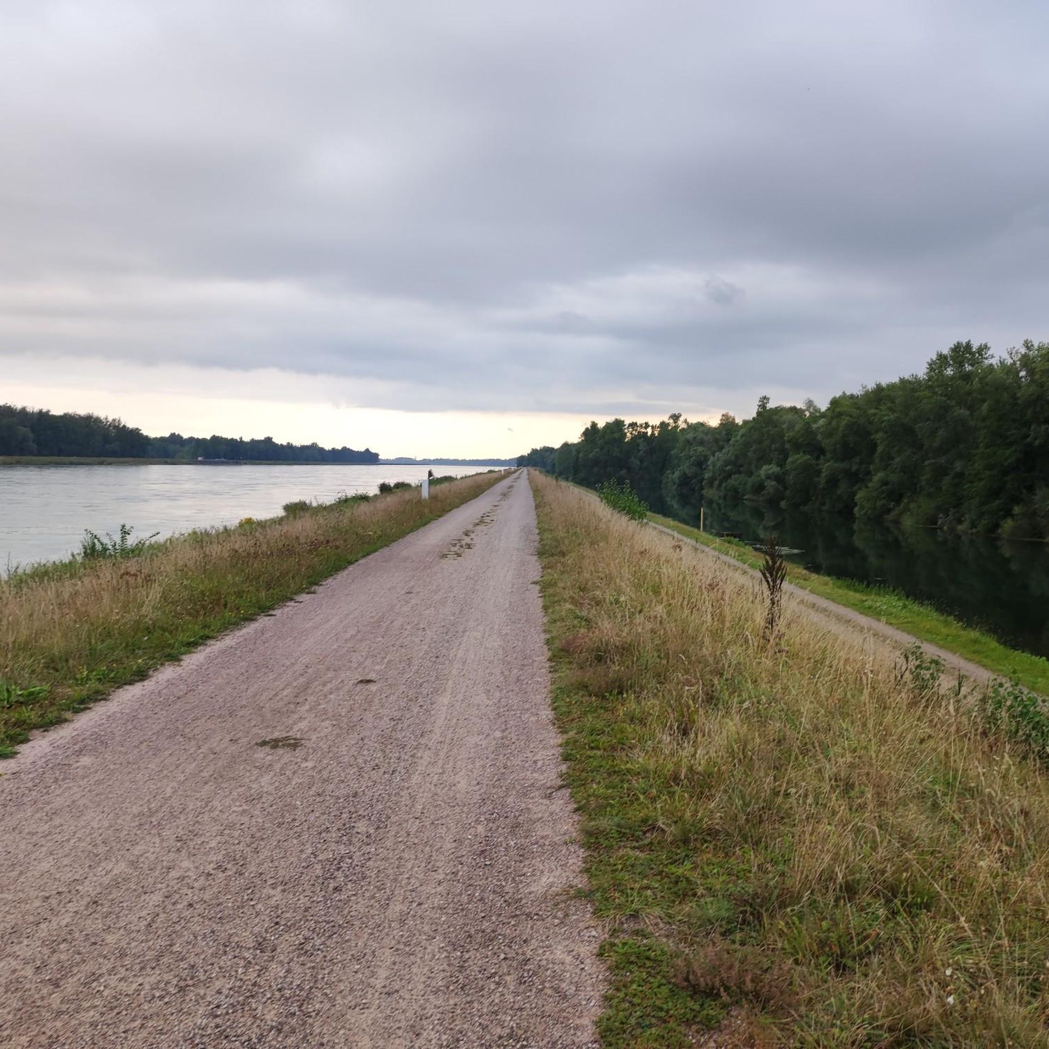
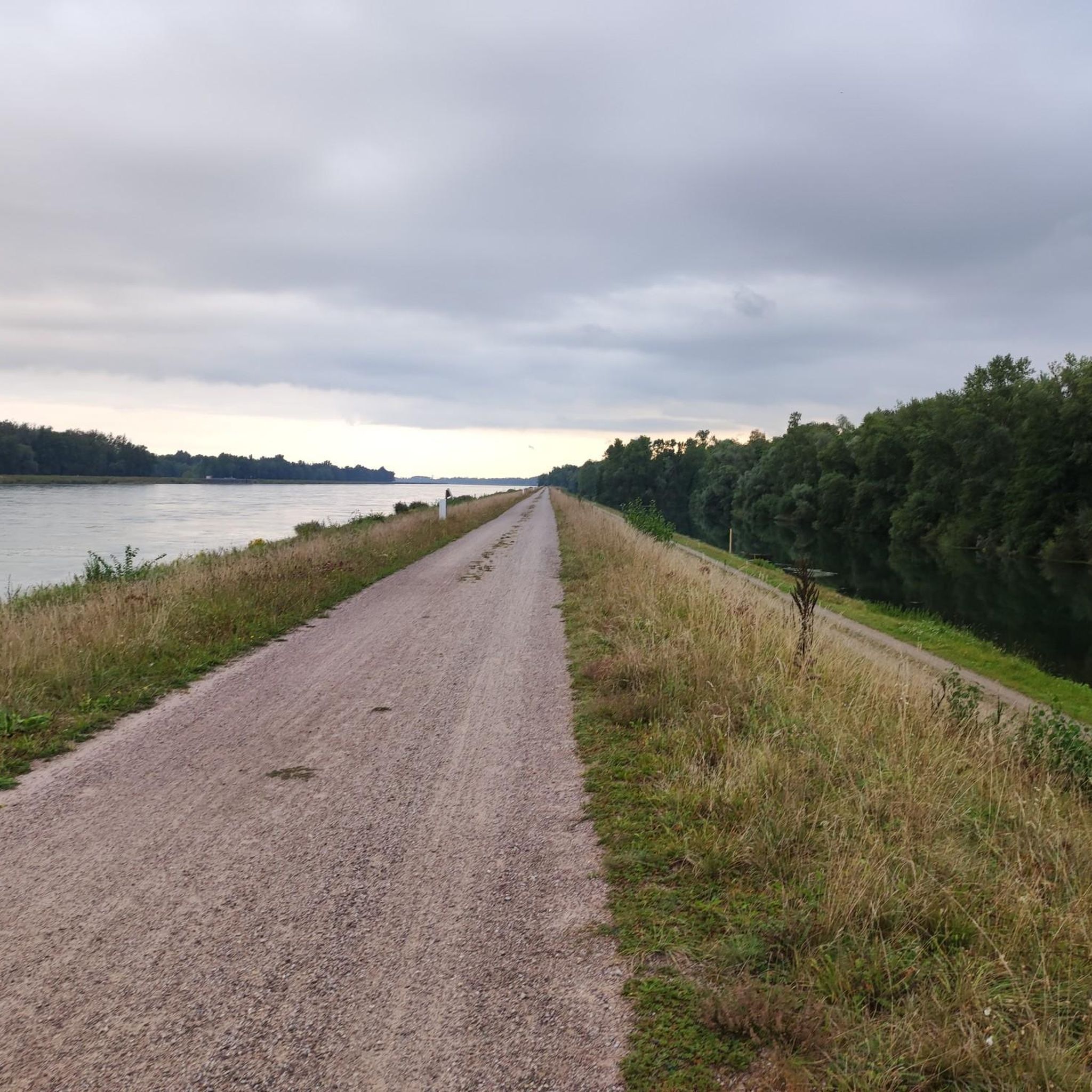
Hiking around Meißenheim offers diverse landscapes within the Rhine plain, characterized by flat Ried landscapes and the historic Old Rhine Arm. The region features extensive Rheinwald (Rhine Forest) and Auenwald (floodplain forest) areas, providing tranquil scenery. Trails often follow the Old Rhine, showcasing various still waters and minimal elevation changes.
Best hiking trails around Meißenheim
- The most popular hiking route is Old Rhine Arm – At the ford loop from Meißenheim, a 3.1 miles (5.0 km) trail that takes…
Last updated: July 1, 2026
4.8
(32)
104
hikers
4.90km
01:15
10m
10m
Easy hike. Great for any fitness level. Easily-accessible paths. Suitable for all skill levels.
4.7
(26)
102
hikers
6.41km
01:37
10m
10m
Easy hike. Great for any fitness level. Easily-accessible paths. Suitable for all skill levels.

Sign up for free
4.8
(16)
46
hikers
10.4km
02:38
30m
30m
Moderate hike. Good fitness required. Easily-accessible paths. Suitable for all skill levels.
4.8
(10)
25
hikers
9.72km
02:28
20m
20m
Moderate hike. Good fitness required. Easily-accessible paths. Suitable for all skill levels.
4.6
(7)
30
hikers
Moderate hike. Good fitness required. Easily-accessible paths. Suitable for all skill levels.
Get access to more routes and recommendations from other explorers.
Sign up for free
Already have an account?
Our route recommendations are based on thousands of hikes, rides, and runs completed by other people on komoot.
Start today with a free account
Your next adventure awaits.
Login or Signup

Other adventures around Meißenheim

Tips from the Community

Local history at the Anwendergraben near Kürzell :-))
0
0

Church of Meißenheim
6
0

If the weather is sunny but it has rained before, there are a lot of mosquitoes around here….bites are therefore inevitable
3
0

The tower looks very fairytale-like, in the middle of the bushes and obviously difficult to reach, very overgrown.
1
0

Good opportunity for a break, the hut is ideal for relaxing
3
0
The tours on the Schnakenpfad are easy hikes for all age groups
2
0
Very nice to linger and enjoy the untouched nature
2
0
It's a lot of fun, but crossing is only possible if not flooded by water
1
0
Frequently Asked Questions
How many hiking trails are there in Meißenheim?
Meißenheim offers a wide selection of hiking opportunities, with over 50 routes available for exploration. These trails cater to various preferences, from easy strolls along the Old Rhine to more challenging loops through the Rheinwald.
What is the best time of year to go hiking in Meißenheim?
The most pleasant seasons for hiking in Meißenheim are typically spring, when the floodplain forests are in full bloom, and autumn, which offers a vibrant, colorful backdrop. These seasons provide comfortable temperatures and beautiful scenery.
Are there any easy hiking trails suitable for beginners or families in Meißenheim?
Yes, Meißenheim has many easy trails. The region's flat Ried landscapes and Old Rhine Arm make for gentle walks. An excellent option is the Old Rhine Arm – At the ford loop from Meißenheim, which is 5 km long and takes about 1 hour 15 minutes. Another easy choice is the Schollenhütte – Old Rhine Arm loop from Meißenheim, exploring the floodplain forest and riverside.
Can I find circular hiking routes in Meißenheim?
Yes, Meißenheim features several circular hiking routes. Many trails are designed as loops, allowing you to start and end at the same point. Popular examples include the Old Rhine Arm – At the ford loop from Meißenheim and the Schollenhütte – Rapunzel Tower loop from Meißenheim.
What kind of terrain can I expect on hiking trails in Meißenheim?
Hiking trails in Meißenheim primarily traverse flat 'Ried landscapes' within the Rhine plain, characterized by minimal elevation changes. You'll encounter paths through extensive Rheinwald (Rhine Forest) and Auenwald (floodplain forest), often alongside the Old Rhine Arm. Some trails, like the Schnakenpfad, feature narrow footpaths, wooden bridges, and even small 'fords'.
Are there any specific natural features or landmarks to look out for while hiking?
Absolutely. The region is defined by the Old Rhine Arm and its surrounding floodplain forests. You might also encounter the unique 'Rollwässerle' and 'Grenzerpfad' sections on trails like the Schnakenpfad. For specific points of interest, consider visiting the Elzwehr near Wittenweier or the Bildsteine Rock Formation. The area also boasts several serene lakes, such as Lake Stegmatten and Gifiz Lake.
Is Meißenheim a good place for wildlife spotting?
Yes, the diverse 'Ried landscapes,' floodplain forests, and the Old Rhine Arm create rich habitats for wildlife. Hikers often have opportunities to observe various bird species and other local fauna, especially in the quieter sections of the Rheinwald and along the water bodies.
What do other hikers enjoy most about hiking in Meißenheim?
The komoot community highly rates hiking in Meißenheim, with an average score of 4.5 stars from over 300 reviews. Hikers frequently praise the tranquil scenery, the well-maintained trails through the floodplain forests, and the calming presence of the Old Rhine Arm. The accessibility of easy routes is also a common highlight.
Are there any moderate hiking trails for those seeking a bit more challenge?
For hikers looking for a moderate challenge, the Schollenhütte – Rapunzel Tower loop from Meißenheim is a great option. This 10.4 km trail leads through the Rheinwald and past the Rapunzel Tower, typically taking about 2 hours 38 minutes to complete. Another moderate route is the At the ford – Old Rhine Arm loop from Meißenheim.
Are there any specific trails that are not suitable for strollers or wheelchairs?
While many trails are easy, some, like sections of the Schnakenpfad, feature narrow footpaths and wooden bridges, making them less suitable for strollers or wheelchairs. It's always advisable to check specific route details if accessibility is a concern.
Where can I find parking near the hiking trails in Meißenheim?
Many popular hiking routes in Meißenheim, such as those starting near the Schollenhütte, offer convenient parking facilities. The starting point of the Schnakenpfad at Schollenhütte, for instance, provides amenities including a barbecue area and seating, indicating accessible parking nearby.
Can I access hiking trails in Meißenheim using public transport?
While specific public transport connections to every trailhead may vary, Meißenheim is part of the Ortenau district, which generally has public transport options. For detailed information on bus routes and schedules to Meißenheim, it's recommended to check local transport provider websites or the regional tourism site for Baden-Württemberg: schwarzwald-tourismus.info.
Most popular routes around Meißenheim
Most popular attractions around Meißenheim

Get inspired with the komoot mobile app


Explore more
Browse the best Hikes in other regions.
