The best road cycling routes around Mauna Kea
5.0
(2)
149
riders
11
rides
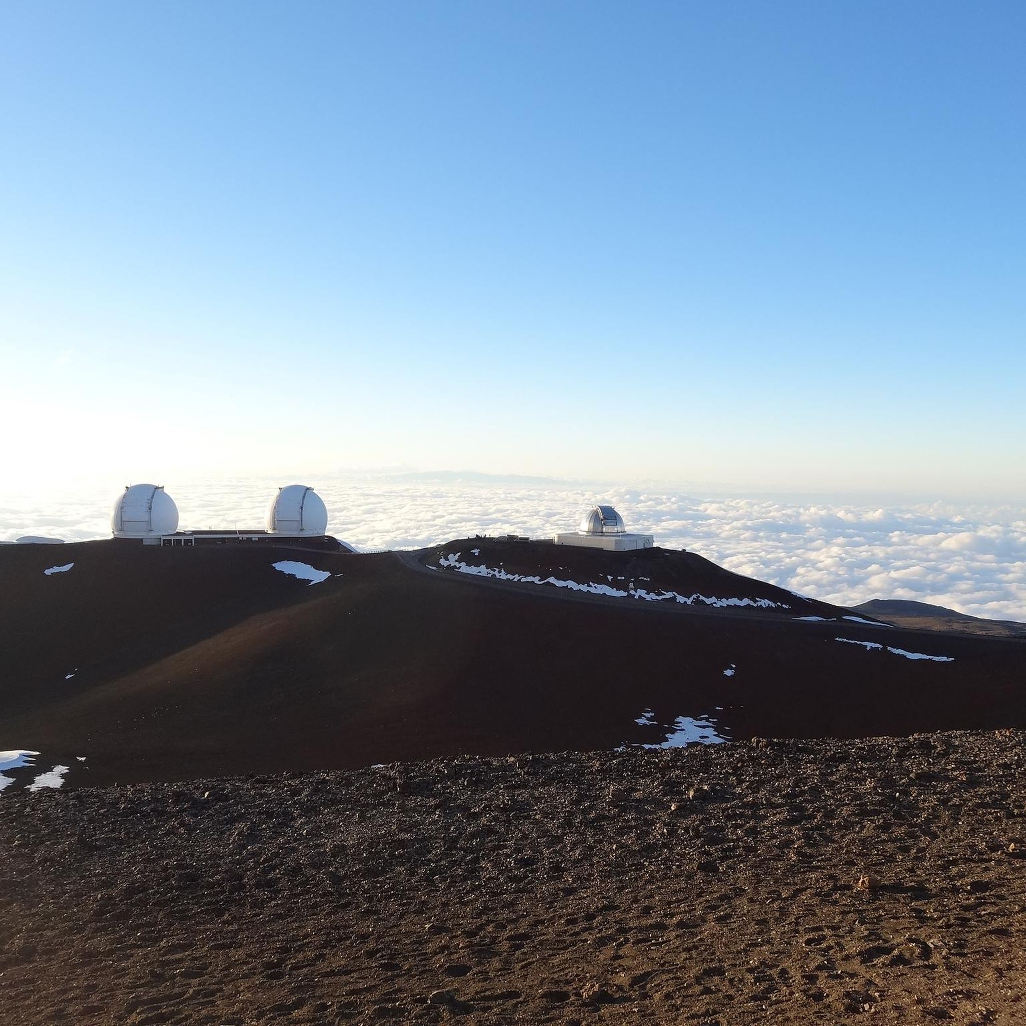
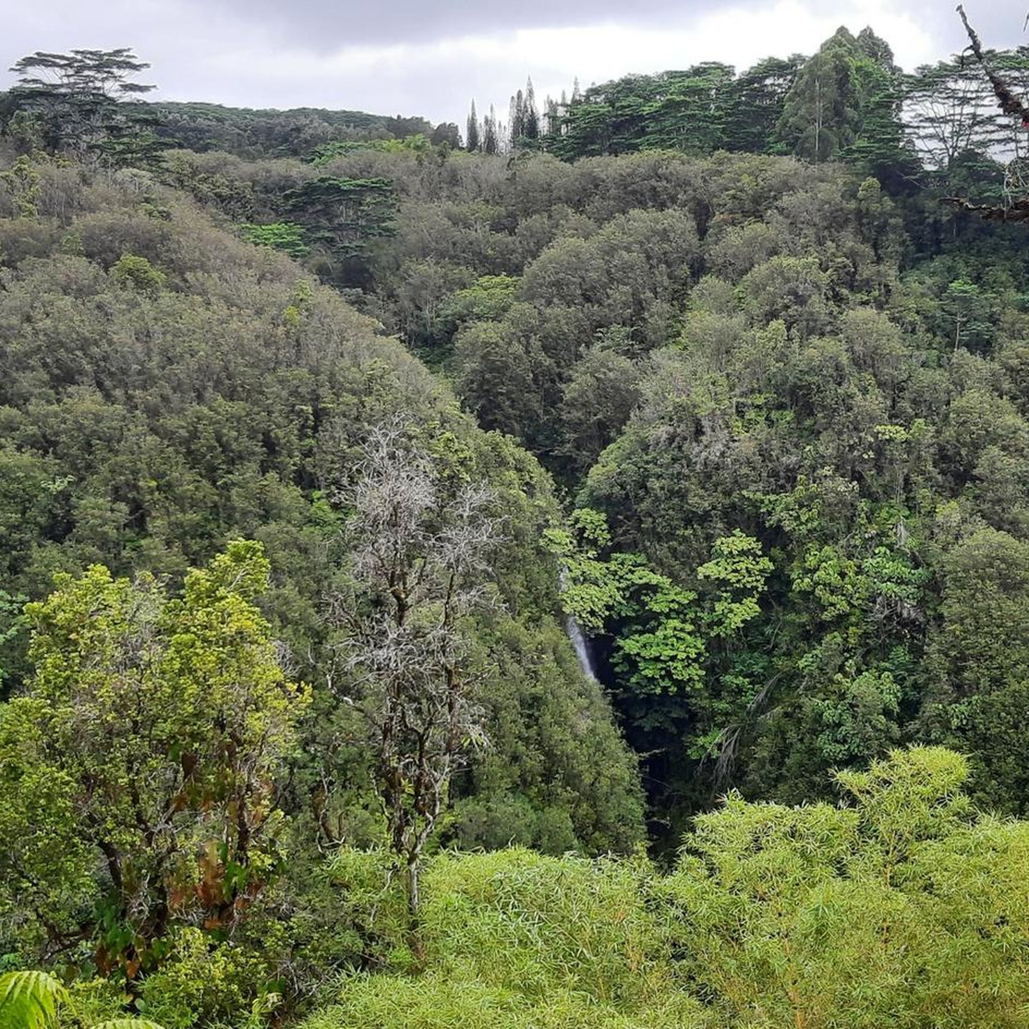
Road cycling routes around Mauna Kea traverse a unique volcanic landscape characterized by dramatic elevation changes. The terrain transitions from lush rainforests at lower altitudes to wide-open lava fields and eventually a stark, lunar-like environment. Routes often feature significant altitude gain, with surfaces ranging from paved roads to challenging gravel sections. The region includes cinder cones, glacial moraines, and diverse geological formations.
Best road cycling routes around Mauna Kea
- The most popular road cycling route is Paʻauilo to Waipio Valley…
Last updated: August 30, 2026
5
riders
50.9km
02:27
530m
530m
Moderate road ride. Good fitness required. Mostly well-paved surfaces and easy to ride.
1
riders
83.3km
04:35
1,480m
1,490m
Hard road ride. Very good fitness required. Mostly well-paved surfaces and easy to ride.

Sign up for free
1
riders
20.7km
01:33
810m
810m
Moderate road ride. Good fitness required. Mostly well-paved surfaces and easy to ride.
1
riders
50.4km
02:39
770m
770m
Moderate road ride. Good fitness required. Mostly well-paved surfaces and easy to ride.
62.7km
03:43
1,170m
1,170m
Hard road ride. Very good fitness required. Mostly well-paved surfaces and easy to ride.
61
riders
Moderate road ride. Good fitness required. Mostly well-paved surfaces and easy to ride.
5.0
(1)
23
riders
63.0km
03:24
880m
880m
Moderate road ride. Good fitness required. Mostly well-paved surfaces and easy to ride.
13
riders
38.4km
02:23
660m
660m
Moderate road ride. Good fitness required. Mostly well-paved surfaces and easy to ride.
6
riders
27.4km
01:16
280m
280m
Easy road ride. Great for any fitness level. Mostly well-paved surfaces and easy to ride.
Get access to more routes and recommendations from other explorers.
Sign up for free
Already have an account?
Our route recommendations are based on thousands of hikes, rides, and runs completed by other people on komoot.
Start today with a free account
Your next adventure awaits.
Login or Signup
Popular around Mauna Kea
Tips from the Community

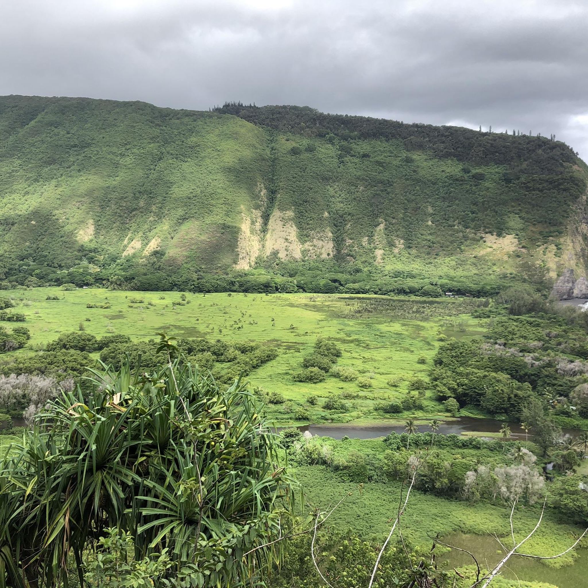
The steep, short road down to Waipio valley itself is (February 2024) only open to Hawaiʻi residents with ID and driving 4WD. No hikers or cyclists permitted.
0
0

Lower Cane Haul Road parallels Mamalahoa Highway, also known as the 19 Highway. This area is dryer than the Hilo area, and sometimes the road can get a bit overgrown, but it is paved, so proceed to the route with caution.
0
0
Riding north, this pull out offers the first view of the Laupāhoehoe area. Laupāhoehoe Harbor is managed by the U.S. Army Corps of Engineers Honolulu District and by the County of Hawaii Department of Parks & Recreation. It is open to the public and can be reached just off the main road.
0
0
Laupāhoehoe Beach Park is on the Hamakua coastline, with Laupahoehoe Point as the main attraction. The name translates to “leaf of lava" and was formed by ancient pāhoehoe, or smooth lava, where the small town of Laupahoehoe was built. This park has ocean views, breaking surf, lava rocks, and lush plant life. On April 1st, 1946, there was an earthquake in Alaska that caused a tsunami with three tidal waves that hut here, wrecked a lot of Hilo, and killed 159 people, including 21 schoolchildren and three teachers in Laupahoehoe. Here it is. a memory for them.
0
0
Kolekole Beach Park is a nice area where the Kolekole Stream meets the ocean. There is a small waterfall, a nice beach, and a large grassy area, which makes it easy for families to gather, which makes it very popular during the weekdays and holidays. The park is currently temporarily closed due to some soil contaminants. Because of the closure, the park is not currently well maintained and has become overgrown. The ocean conditions here are a little too dangerous for swimming, but visitors can swim in the Kolekole Stream. There is no lifeguard here, so visitors should always visit and swim with caution.
0
0

Laupāhoehoe Beach Park was destroyed by a tsunami in 1946, so there are a few memorials here. 20 students and 4 teachers were lost during the natural disaster. This Beach Park has amazing ocean panoramas, rocky surf, and lava rocks surrounded by lush vegetation.
0
0
Humuʻula Sheep Station is a sheep-raising area that was economically important from 1850–1900. The Waimea Grazing and Agricultural Company had this station for sheep at Humuʻula in the 1860s, and a few years later, in 1873, a house and wool barn had been built. This area was later bought by Parker Ranch. This area is now marked with an information sign and a few unused buildings.
0
0
Here in this area is the end of the pavement on Mauna Kea Access Rd. In this area, cyclists can find the Onizuka Center for International Astronomy's Mid-Level Facility, Maunakea Visitor Information Station, Mauna Kea Humu'ula Trailhead, and Halepohaku. Visitors should be careful while visiting due to the chances of getting altitude sickness due to this point being at 9,200 feet above sea level, and often visitors are coming from sea level. From here the road continues on but it is unpaved. The road is dirt and 4x4 cars are recommended. If cyclists are choosing to ride to the Mauna Kea summit, they should have a bike with the proper tires. Otherwise this is a great turn around spot, with great views!
0
0
Frequently Asked Questions
What types of road cycling routes can I find around Mauna Kea?
Mauna Kea offers a diverse range of road cycling experiences, from routes traversing lush rainforests at lower elevations to those climbing through wide-open lava fields and stark, lunar-like volcanic environments. You'll find options with significant altitude gain and varied surfaces, including paved roads and challenging gravel sections. The region features unique geological formations like cinder cones and glacial moraines.
How many road cycling routes are available in the Mauna Kea area?
There are over 9 road cycling routes documented on komoot for the Mauna Kea area. These routes cater to various skill levels, with 6 moderate and 3 difficult options available.
What are some of the natural features and landmarks I might encounter while cycling around Mauna Kea?
As you cycle around Mauna Kea, you'll experience a transition through five distinct climate zones. Highlights include lush rainforests, vast volcanic landscapes, and an alpine desert near the summit. Notable natural features include the Lake Waiʻau, one of the highest alpine lakes in the US, and the unique geological formations within the Mauna Kea Ice Age Reserve. You might also pass by the Maunakea Visitor Information Station.
Are there any challenging climbs for experienced road cyclists?
Yes, Mauna Kea is famous for having one of the world's hardest bike climbs. The full ascent from sea level to the summit involves a continuous climb of nearly 70 kilometers with over 4,200 meters of altitude gain. Routes like Honokaʻa to Spencer Beach Park and Laupāhoehoe Beach Park to Honokaʻa are rated as difficult, offering significant elevation challenges. Be aware that the Mauna Kea Access Road includes a challenging 4.7-mile gravel section past the visitor center.
What is the terrain like on Mauna Kea road cycling routes?
The terrain varies significantly. Lower elevations feature well-paved roads through lush rainforests. As you ascend, the landscape transitions to volcanic and lunar-like environments. The Mauna Kea Access Road, in particular, includes a challenging 4.7-mile (7 km) section of gravel and sand past the visitor center, with gradients up to 20%. For this unpaved segment, a mountain bike or gravel bike with appropriate tires is often recommended.
What do other road cyclists say about the routes around Mauna Kea?
The road cycling routes around Mauna Kea are highly rated by the komoot community, with an average score of 5.0 stars from over 2 reviews. Cyclists often praise the dramatic scenery, the unique transition through different climate zones, and the challenging yet rewarding climbs.
Are there any viewpoints along the road cycling routes?
Yes, many routes offer spectacular views. The journey up Mauna Kea provides panoramic vistas as you ascend through different climate zones. The Pu‘ukalepeamoa Lookout is a specific viewpoint you might encounter. The summit itself, home to the Mauna Kea Observatories, is renowned for breathtaking sunsets and sunrises.
Are there any family-friendly road cycling options around Mauna Kea?
While many routes around Mauna Kea involve significant elevation gain and challenging terrain, some sections or shorter loops might be suitable for families depending on their experience level. It's best to review individual route profiles for details on distance, elevation, and surface conditions to find the most appropriate option for your family.
What is the best time of year to go road cycling in Mauna Kea?
Mauna Kea's diverse climate means conditions can vary greatly. The lower elevations are generally warmer, while the summit can be cold, dry, and windy, especially above 9,000 feet. It's crucial to check weather forecasts for all elevations you plan to cover. Generally, drier months might offer more stable conditions, but be prepared for rapid weather changes and significant temperature drops at higher altitudes.
Are there any waterfalls visible from or near the road cycling routes?
Yes, in the lush lower elevations, particularly on the Hilo side, you can find stunning waterfalls. Akaka Falls and Akaka Falls State Park are notable attractions in the vicinity, offering a beautiful contrast to the volcanic landscapes higher up.
Where can I find facilities or a place to acclimatize before attempting higher elevations?
The Maunakea Visitor Information Station is an important stop for those ascending to the summit. Located at a lower elevation, it provides educational exhibits, presentations, and serves as a crucial acclimatization point before continuing to higher altitudes.
Most popular attractions around Mauna Kea

Get inspired with the komoot mobile app


Explore more
Browse the best Road cycling routes in other regions.
