The best hikes from bus stations around Ajaccio
4.4
(18685)
129,989
hikers
139
hikes
Bus station hiking trails around Ajaccio offer a diverse landscape for outdoor activities, blending coastal beauty with mountainous terrain. The region features magnificent coastlines with sandy beaches and coves, alongside dramatic mountains and volcanic ridges. Hikers can explore trails through fragrant maquis, characterized by dense shrubland and unique aromatic plants. Geological formations, including red porphyry rock and tafoni, are also present across the varied terrain.
Best bus station hiking trails around Ajaccio
- The most popular bus station hiking route is…
Last updated: August 26, 2026
4.6
(59)
278
hikers
7.81km
02:25
300m
300m
Moderate hike. Good fitness required. Easily-accessible paths. Suitable for all skill levels.
4.6
(19)
93
hikers
9.28km
02:53
330m
390m
Moderate hike. Good fitness required. Easily-accessible paths. Suitable for all skill levels.

Sign up for free
4.7
(173)
1,191
hikers
9.68km
03:16
500m
500m
Hard hike. Good fitness required. Sure-footedness, sturdy shoes and alpine experience required.
4.9
(92)
656
hikers
Moderate hike. Good fitness required. Easily-accessible paths. Suitable for all skill levels.
4.7
(85)
554
hikers
12.5km
04:00
520m
520m
Moderate hike. Good fitness required. Easily-accessible paths. Suitable for all skill levels.
Get access to more routes and recommendations from other explorers.
Sign up for free
Already have an account?
Our route recommendations are based on thousands of hikes, rides, and runs completed by other people on komoot.
Start today with a free account
Your next adventure awaits.
Login or Signup
Popular around Ajaccio
Hikes from bus stations in Golfe De Porto
Hikes from bus stations in Forêt De Scoddu Biancu
Hikes from bus stations in Cupabia

Hikes from bus stations in Forêt De Capu Neru

Hikes from bus stations in Forêt De Chiavari
Hikes from bus stations around Réserve naturelle de Scandola
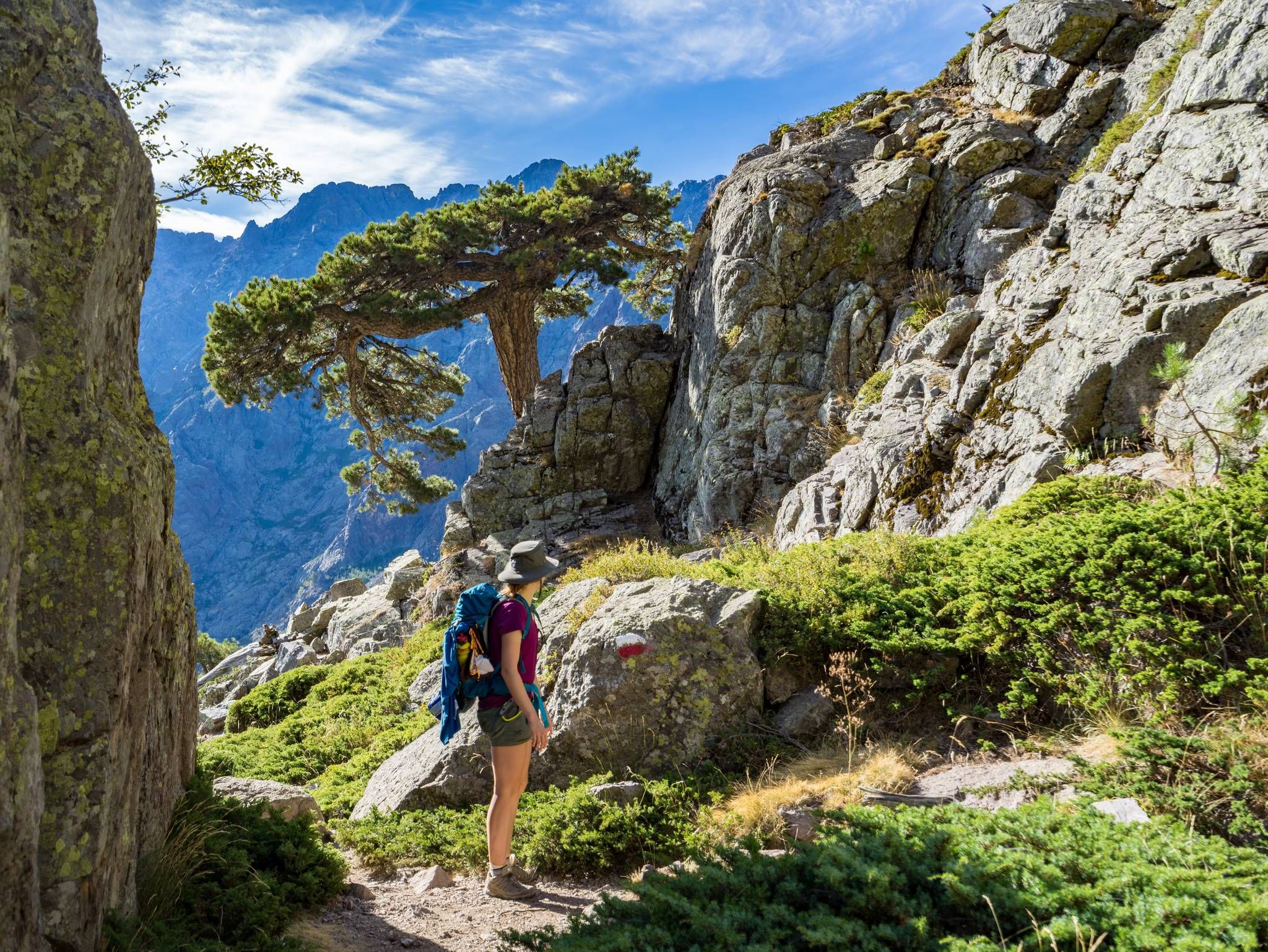
GR20 – Europe's toughest long-distance hiking trail through Corsica
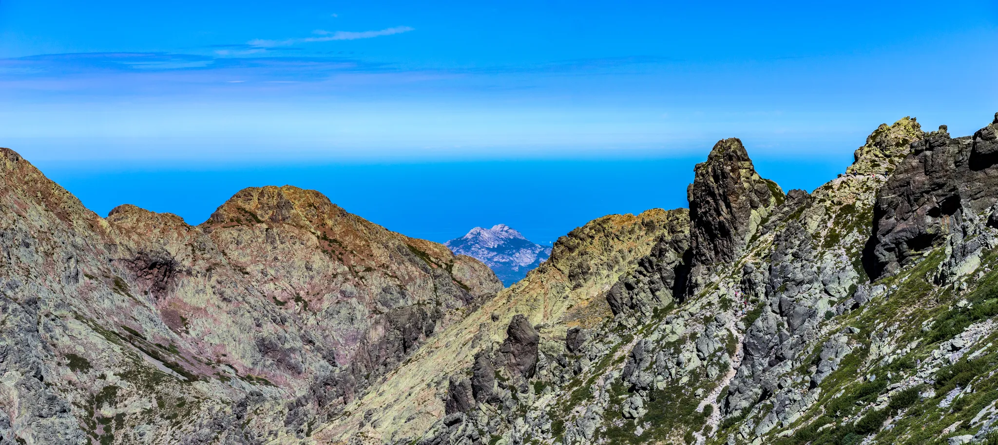
Mare è Monti north – From the mountains to the sea
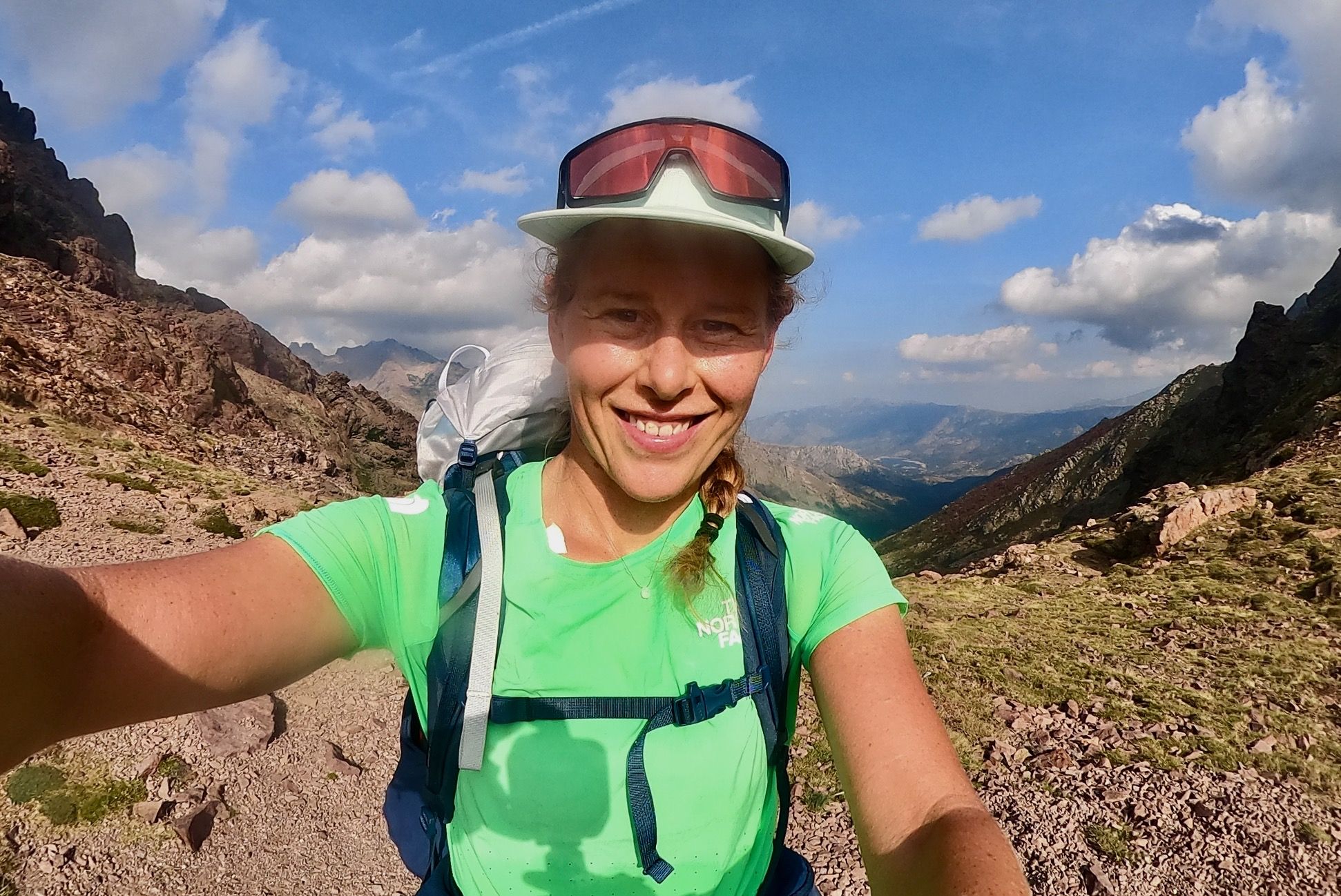
GR 20 – Six days backpacking the peaks and refuges of Corsica
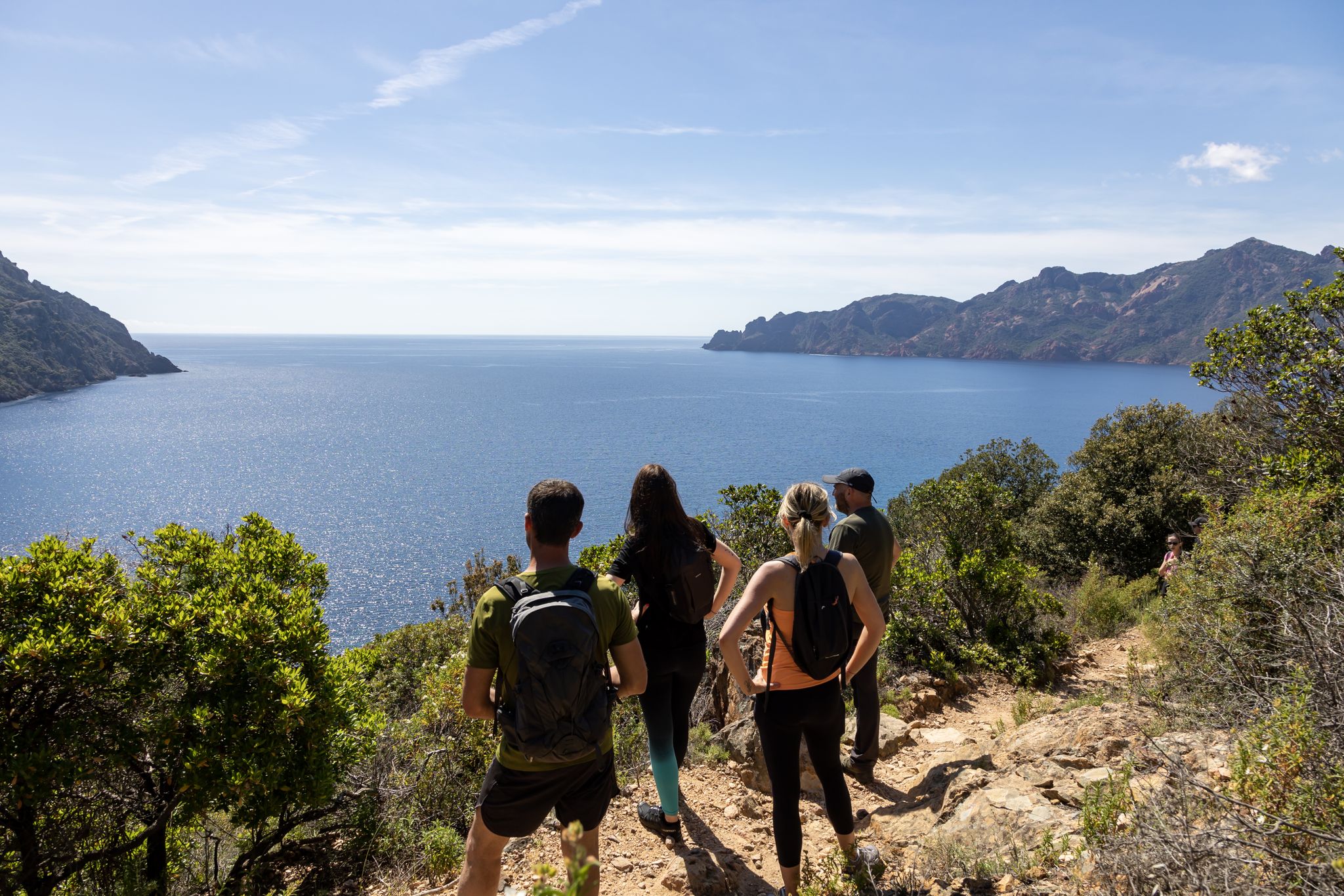
Corsica's discovery hikes — between sea and mountains
Other adventures around Ajaccio


Tips from the Community

Wonderful bay. The sea invites you to swim. It was wonderful ☺️
0
0

Beautiful moderately difficult loop overlooking Ajaccio and its superb gulf.
0
0
Picnic in the shade with a magnificent view.
0
0

Until 2006, the mail was delivered daily on foot along this path to Girolata.
1
0

Beautiful beach in a small bay! No crowds!
1
0

This viewpoint allows you to admire the tip of Parata, located at the end of the coastline near Ajaccio. Accessible by an easy path, this rocky promontory allows you to admire the contrast between the deep blue of the ocean and the Mediterranean vegetation. You can also see the Genoese tower overlooking the site. It is a particularly magical place at sunset, when the light sets the islands and cliffs ablaze.
1
0

Here you have the choice to continue the walk towards the Sanguinaires. For more information, consult this route: https://www.komoot.com/fr-fr/tour/1746496125
0
0
Frequently Asked Questions
How many bus-accessible hiking trails are there around Ajaccio?
There are over 140 hiking trails around Ajaccio that are accessible by bus, offering a wide range of options for all skill levels. You'll find everything from easy coastal strolls to more challenging mountain ascents.
Are there easy, family-friendly hikes accessible by bus from Ajaccio?
Yes, Ajaccio offers several easy and family-friendly hikes reachable by bus. Many coastal paths, like those around the Pointe de la Parata, are relatively flat and offer stunning views without significant elevation gain. These trails often wind through fragrant maquis, providing a pleasant experience for all ages.
What are some popular circular hikes reachable by bus from Ajaccio?
For a rewarding circular route, consider the Crêtes Loop. This moderate trail offers magnificent views of the Gulf of Ajaccio and the Sanguinaires Islands, showcasing the diverse Corsican landscapes from azure sea to fragrant scrubland. Another option is the Parata Tower – View of the Sanguinaires Islands loop from Capo di Feno, which provides a longer, moderate coastal experience.
Can I reach the famous Sanguinaires Islands viewpoint by bus for a hike?
Absolutely! The Pointe de la Parata, offering iconic views of the Sanguinaires Islands, is well-served by local buses. From there, you can embark on a coastal path that circles the point, leading to a 16th-century Genoese tower and providing panoramic sea views. The To Les Sanguinaires on the Crêtes Trail is a great option to explore this area.
Are there bus-accessible hikes that offer mountain views near Ajaccio?
Yes, the region around Ajaccio features majestic mountains and volcanic ridges. While Monte Gozzi is a prominent peak, the Ridge Trail (Sentier des Crêtes), accessible from areas like Bois des Anglais by bus, offers magnificent views of the Gulf of Ajaccio and the Corsican mountains. These trails wind through typical Corsican scrubland and provide breathtaking vistas.
Are there any historical or natural attractions I can visit on a bus-accessible hike?
Many bus-accessible hikes lead to fascinating historical and natural sites. You can explore trails that pass by historic Genoese towers, such as the one at Pointe de la Parata. For natural wonders, consider routes that offer views of the Sanguinaires Islands or the dramatic Spelunca gorges. The Lisa Dam and its historic fountains, vital for Ajaccio's water supply, also form part of an intriguing heritage route.
Are the bus-accessible hiking trails around Ajaccio dog-friendly?
Generally, many hiking trails in the Ajaccio region are dog-friendly, especially those in natural areas and coastal paths. However, it's always recommended to keep dogs on a leash, especially in areas with wildlife or near livestock. Be sure to check specific trail regulations if you plan to visit protected natural sites.
What is the best time of year to go hiking from bus stations in Ajaccio?
The best time for hiking around Ajaccio is typically spring (April to June) and autumn (September to October). During these seasons, the weather is mild and pleasant, the maquis is fragrant, and the landscapes are vibrant. Summer can be very hot, making early morning or late afternoon hikes preferable, while winter offers cooler temperatures but some higher trails might be less accessible.
What kind of landscapes can I expect on bus-accessible hikes in Ajaccio?
You can expect a stunning variety of landscapes. Coastal trails offer views of turquoise seas, fine sandy beaches, and rugged shores, often featuring red porphyry rock formations. Inland, trails wind through dense, fragrant maquis, and lead to mountainous terrain with dramatic ridges and panoramic vistas of the Gulf of Ajaccio. You might also encounter unique geological formations like tafoni rocks.
What do other hikers enjoy the most about hiking in Ajaccio?
The hiking experiences around Ajaccio are highly rated by the komoot community, with an average score of 4.4 stars. Reviewers often praise the breathtaking panoramic views, the unique blend of sea and mountain scenery, and the fragrant Corsican maquis. The accessibility of diverse trails by public transport is also frequently highlighted as a major advantage.
Are there any bus-accessible hikes that lead to viewpoints of the Gulf of Lava?
Yes, some trails north of Ajaccio offer splendid views of the Gulf of Lava. For instance, the Villanova Loop, near the picturesque village of Villanova, takes hikers through the maquis and Bomba Valley, providing expansive views that include the Gulf of Lava and the Gulf of Sagone, as well as the surrounding mountains.
Most popular routes around Ajaccio
Most popular attractions around Ajaccio

Get inspired with the komoot mobile app


Didn’t find what you were looking for?
Check out more Hikes throughout Ajaccio below and find the perfect route in your destination.
Explore more
Browse the best Hikes in other regions.
